This directory hosts downlinked GOES products captured via SatDump. Content is organized by product family so operators and visitors can locate the feeds they need quickly.
| File Name ↓ | File Size ↓ | Date ↓ |
|---|---|---|
| Parent directory/ | - | - |
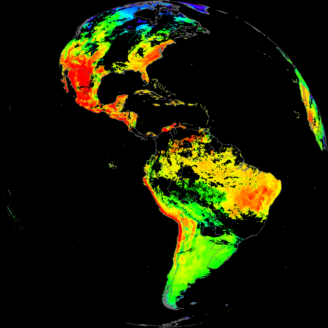
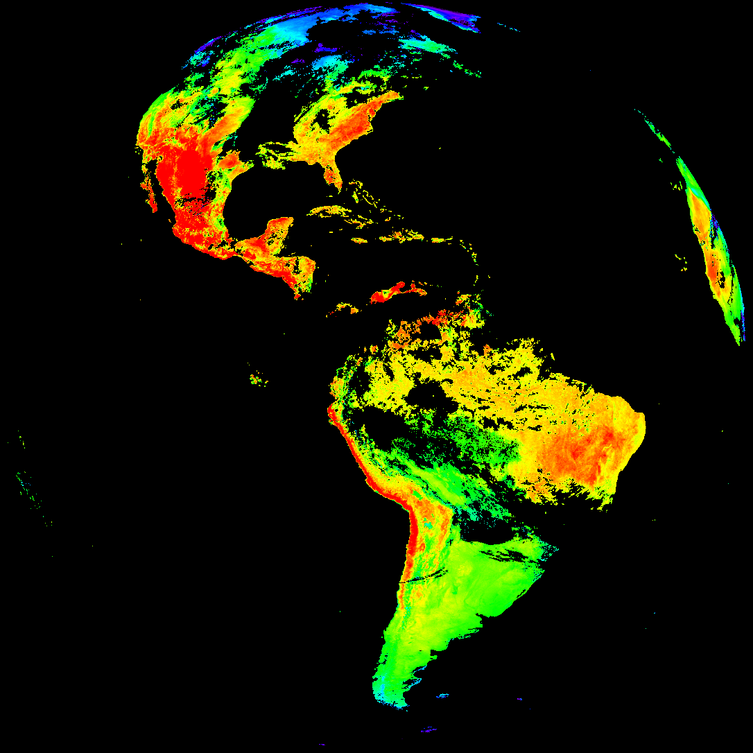
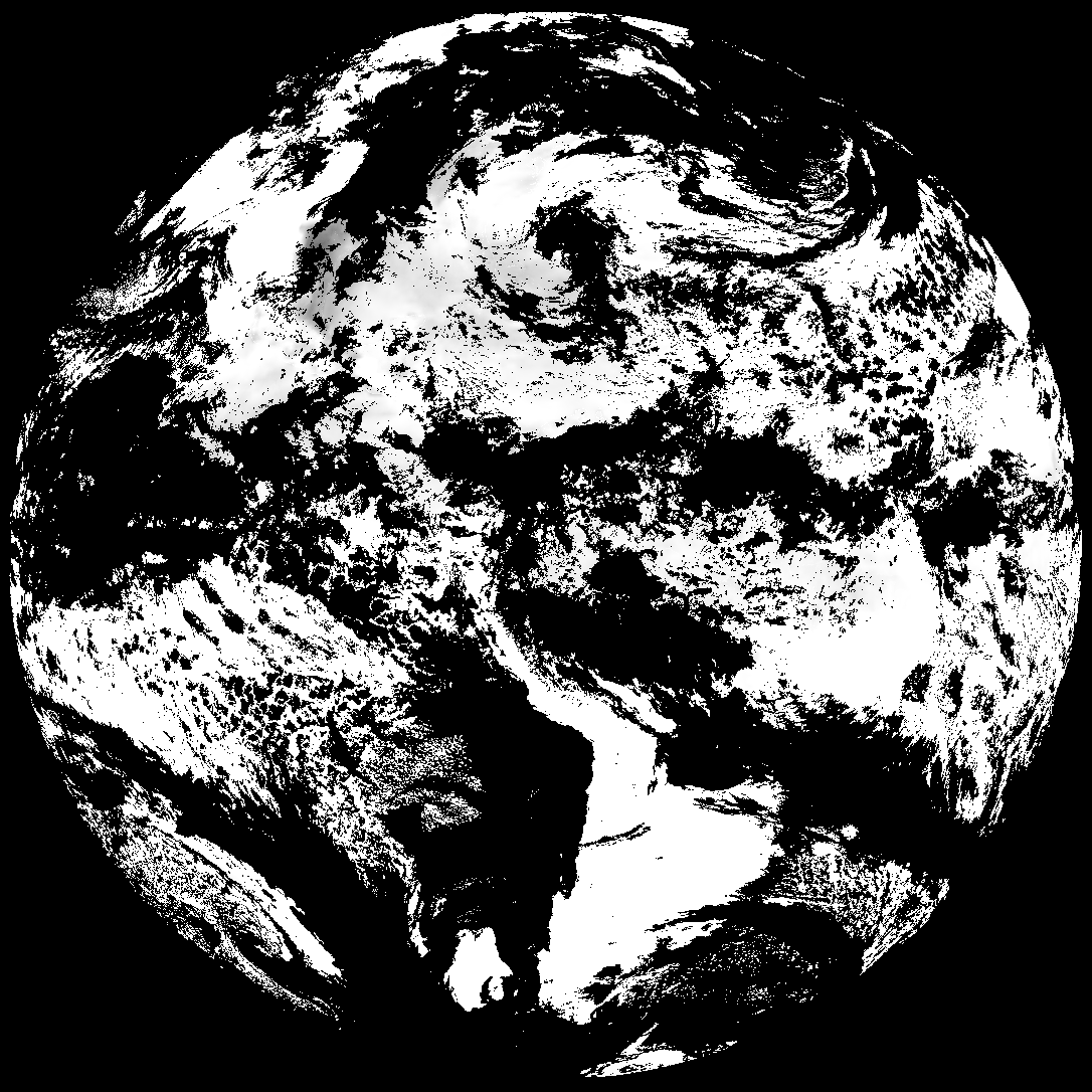
| abi_rgb_Land_Surface_Temperature_map.png | 187350 | 2026-May-19 19:12 |
| abi_rgb_Land_Surface_Temperature.png | 181360 | 2026-May-19 19:12 |
| product.cbor | 621 | 2026-May-19 19:12 |
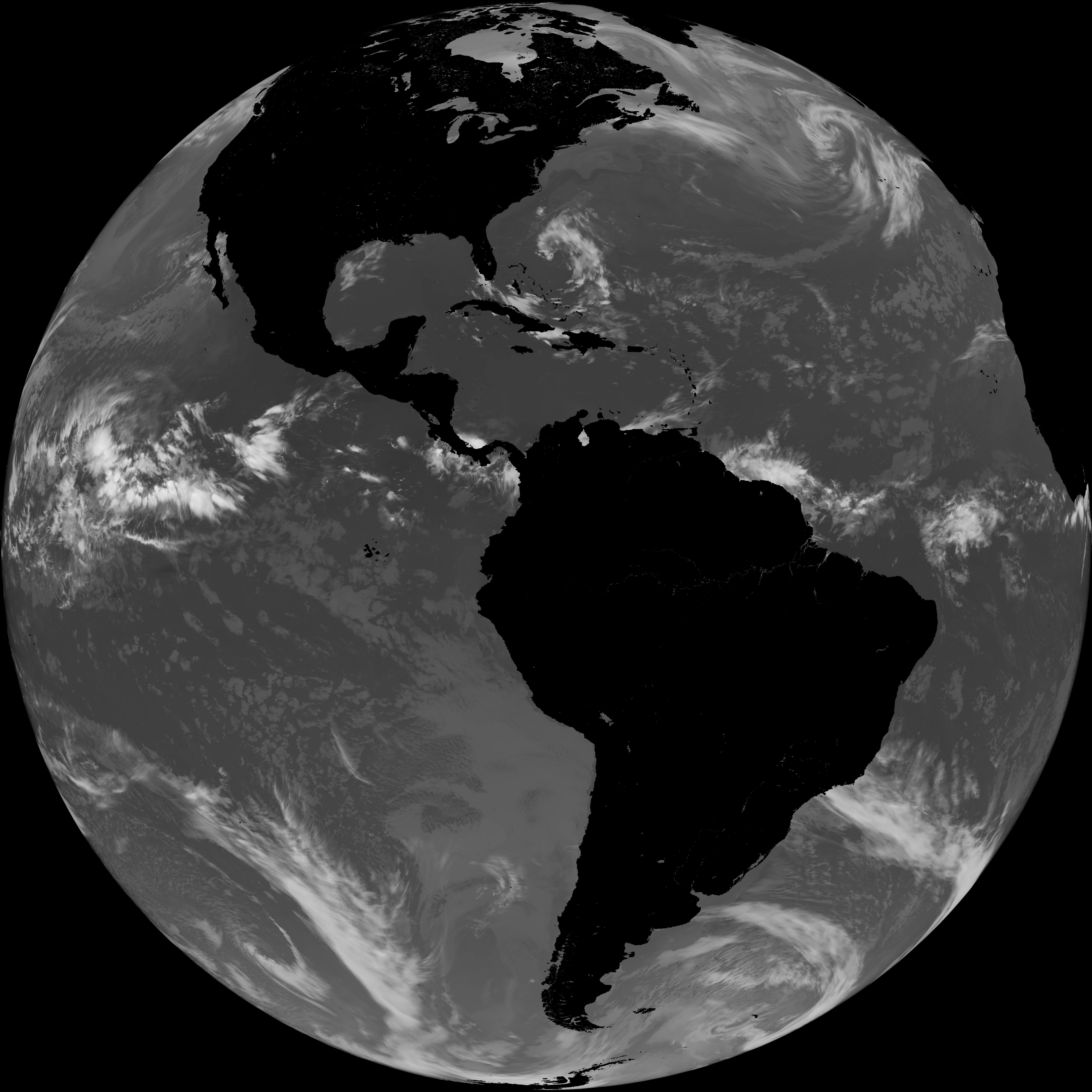
| G19_LST_20260519T180021Z.png | 138265 | 2026-May-19 19:12 |
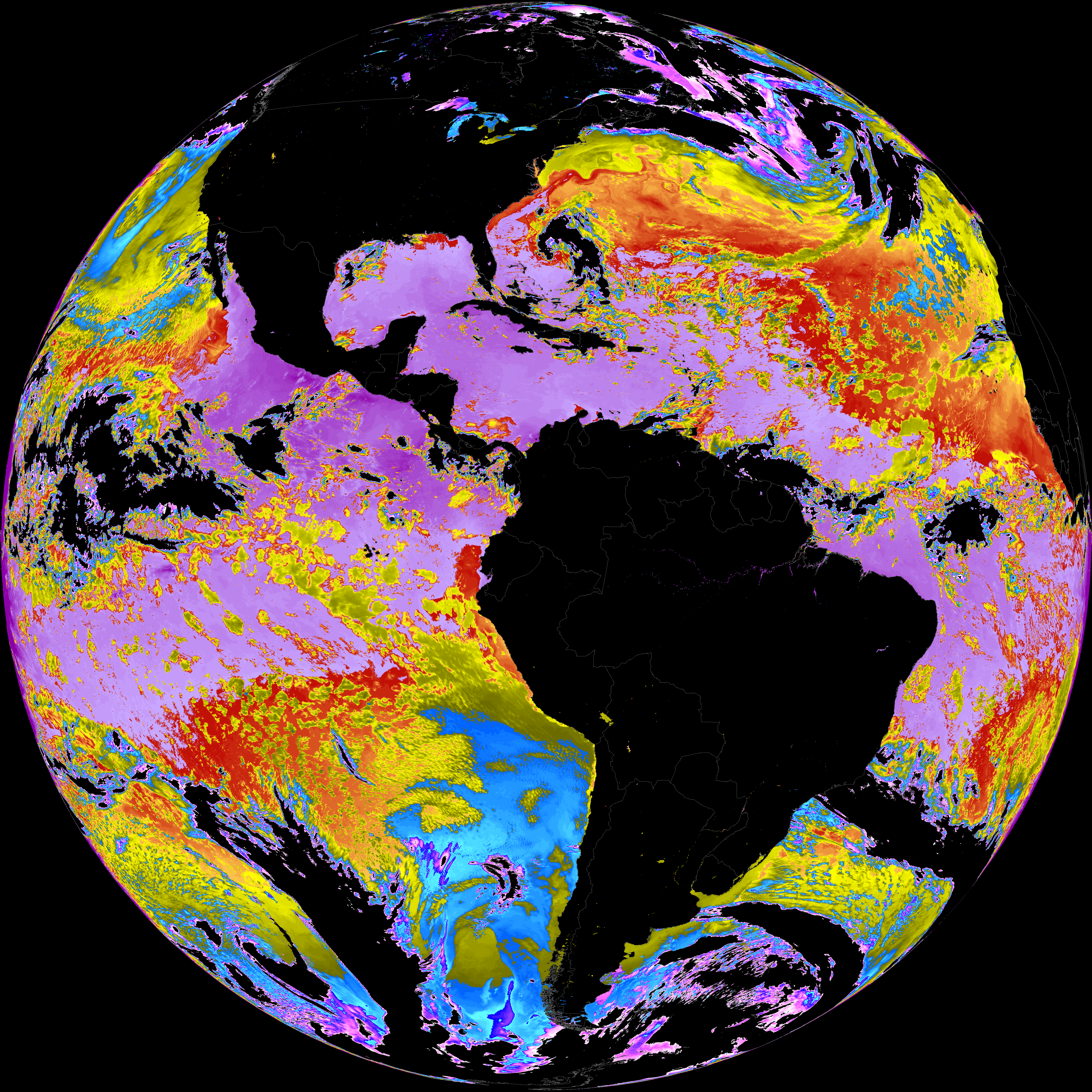
| abi_rgb_Sea_Surface_Temperature_map.png | 7821470 | 2026-May-19 19:10 |
| abi_rgb_Sea_Surface_Temperature.png | 7725703 | 2026-May-19 19:10 |
| G19_SST_20260519T180021Z.png | 7835289 | 2026-May-19 19:10 |
| abi_rgb_Cloud_top_Temperature_(ACHT)_map.png | 11713696 | 2026-May-19 19:06 |
| abi_rgb_Cloud_top_Temperature_(ACHT).png | 11590695 | 2026-May-19 19:06 |
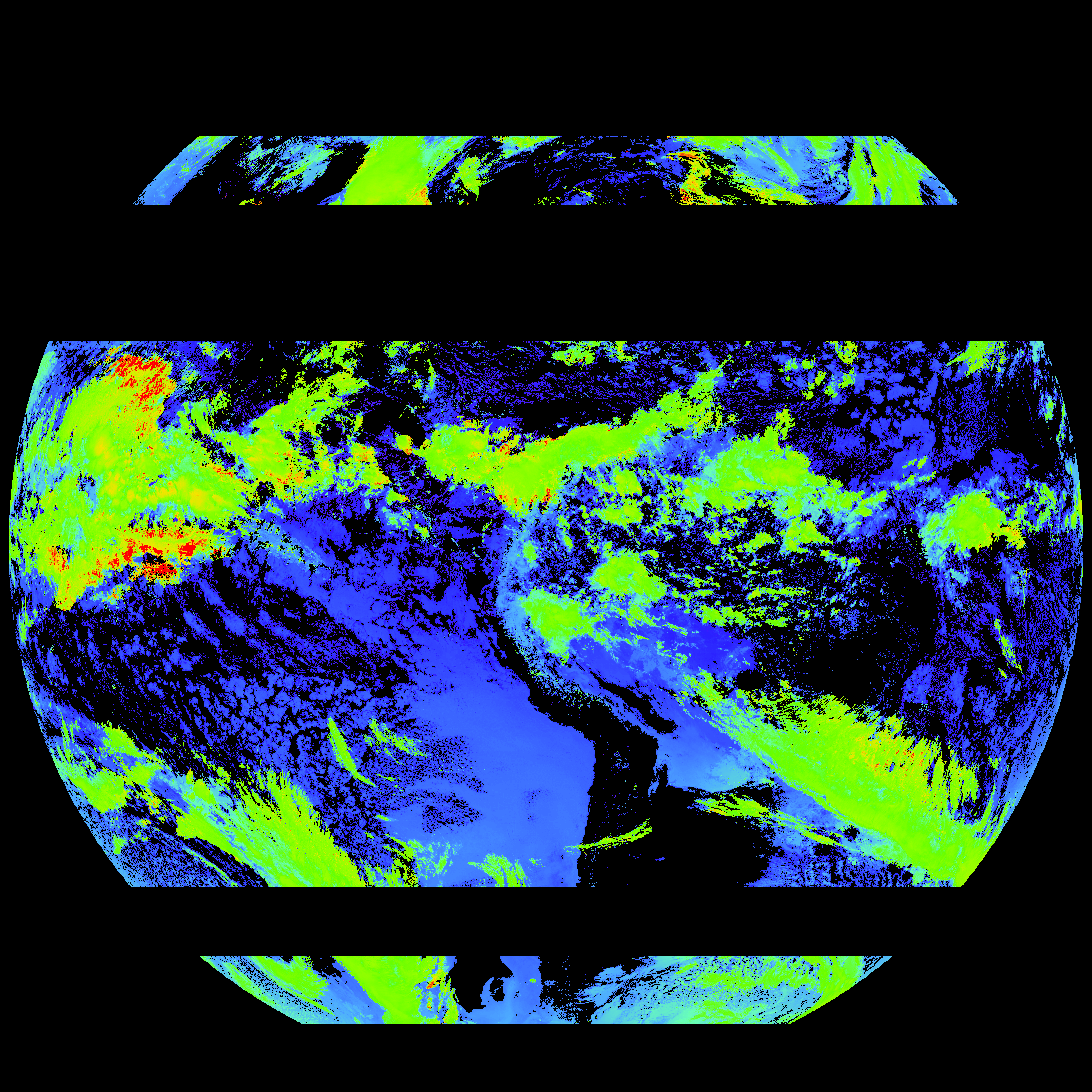
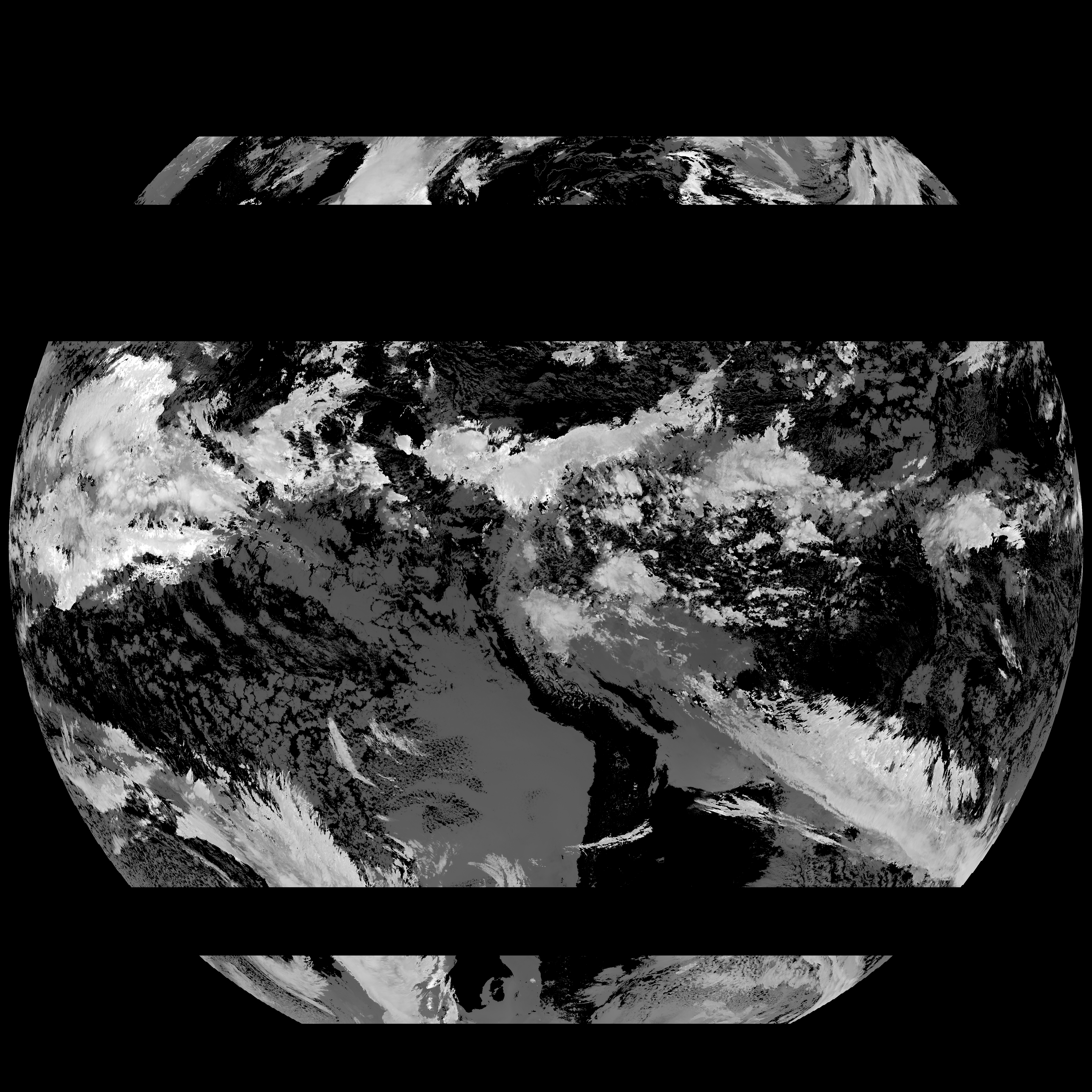
| G19_ACHT_20260519T180021Z.png | 8535713 | 2026-May-19 19:06 |
| abi_rgb_Derived_Stability_Indices_-_CAPE_map.png | 194612 | 2026-May-19 18:40 |
| abi_rgb_Derived_Stability_Indices_-_CAPE.png | 180936 | 2026-May-19 18:40 |
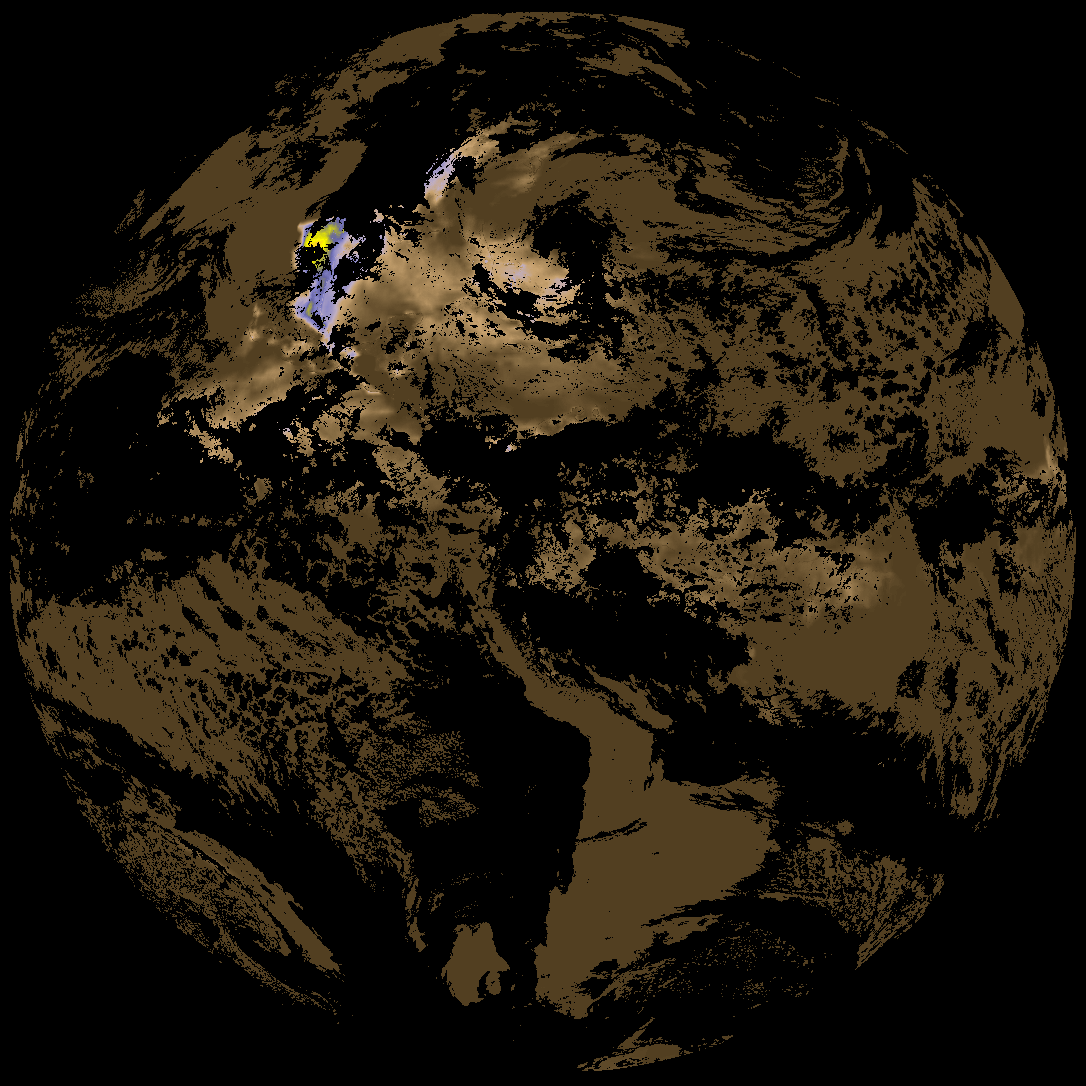
| G19_DSI_20260519T180021Z.png | 134575 | 2026-May-19 18:40 |