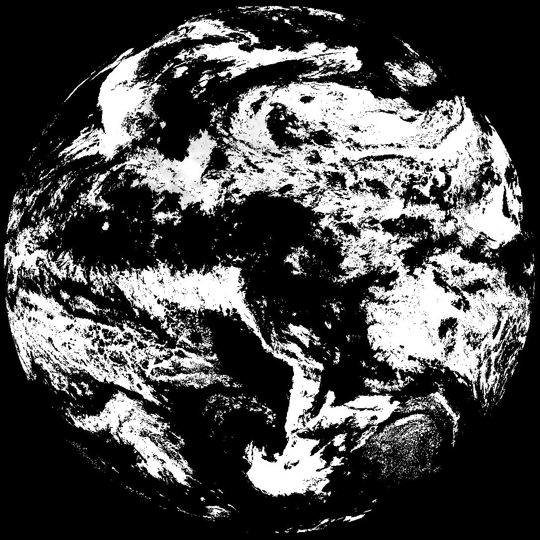
This directory hosts downlinked GOES products captured via SatDump. Content is organized by product family so operators and visitors can locate the feeds they need quickly.
| File Name ↓ | File Size ↓ | Date ↓ |
|---|---|---|
| Parent directory/ | - | - |
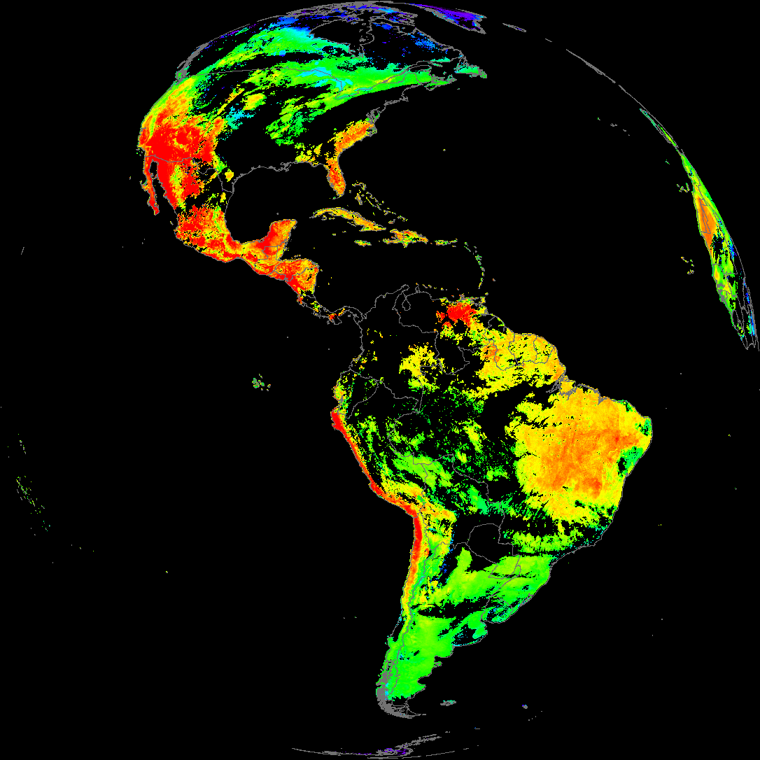
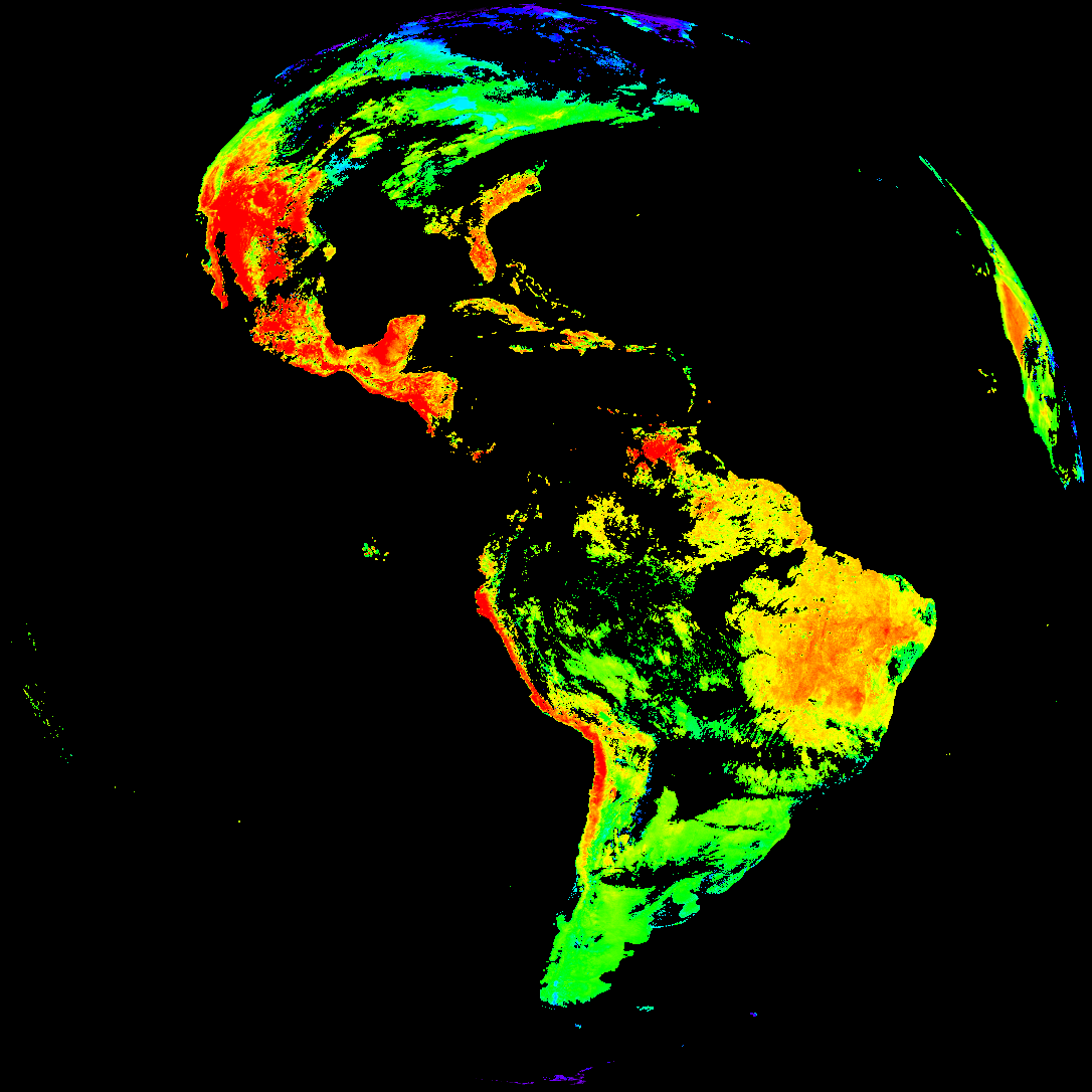
| abi_rgb_Land_Surface_Temperature_map.png | 176228 | 2026-May-21 19:12 |
| product.cbor | 621 | 2026-May-21 19:12 |
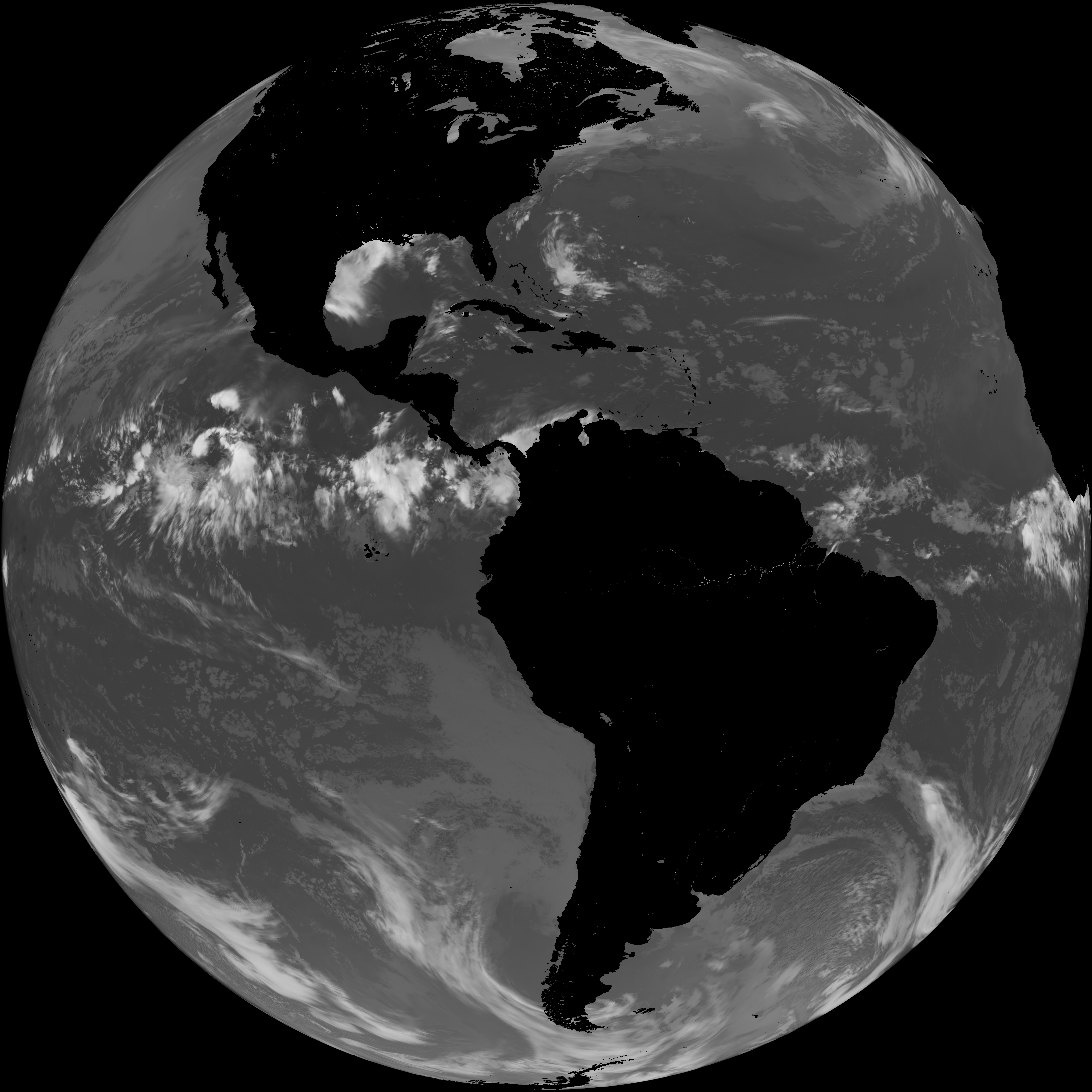
| G19_LST_20260521T180021Z.png | 127893 | 2026-May-21 19:12 |
| abi_rgb_Land_Surface_Temperature.png | 169682 | 2026-May-21 19:12 |
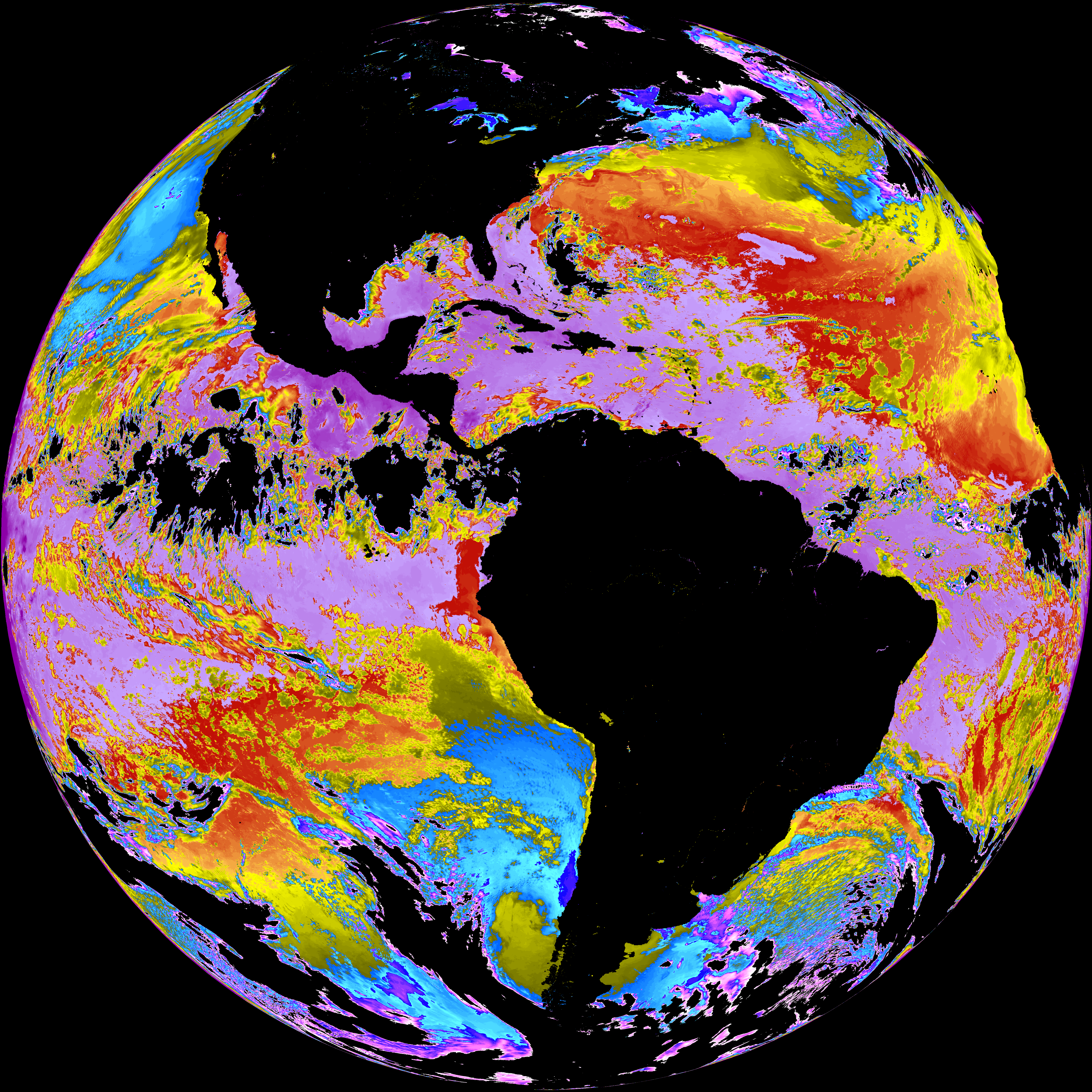
| abi_rgb_Sea_Surface_Temperature_map.png | 7799018 | 2026-May-21 19:09 |
| abi_rgb_Sea_Surface_Temperature.png | 7700831 | 2026-May-21 19:09 |
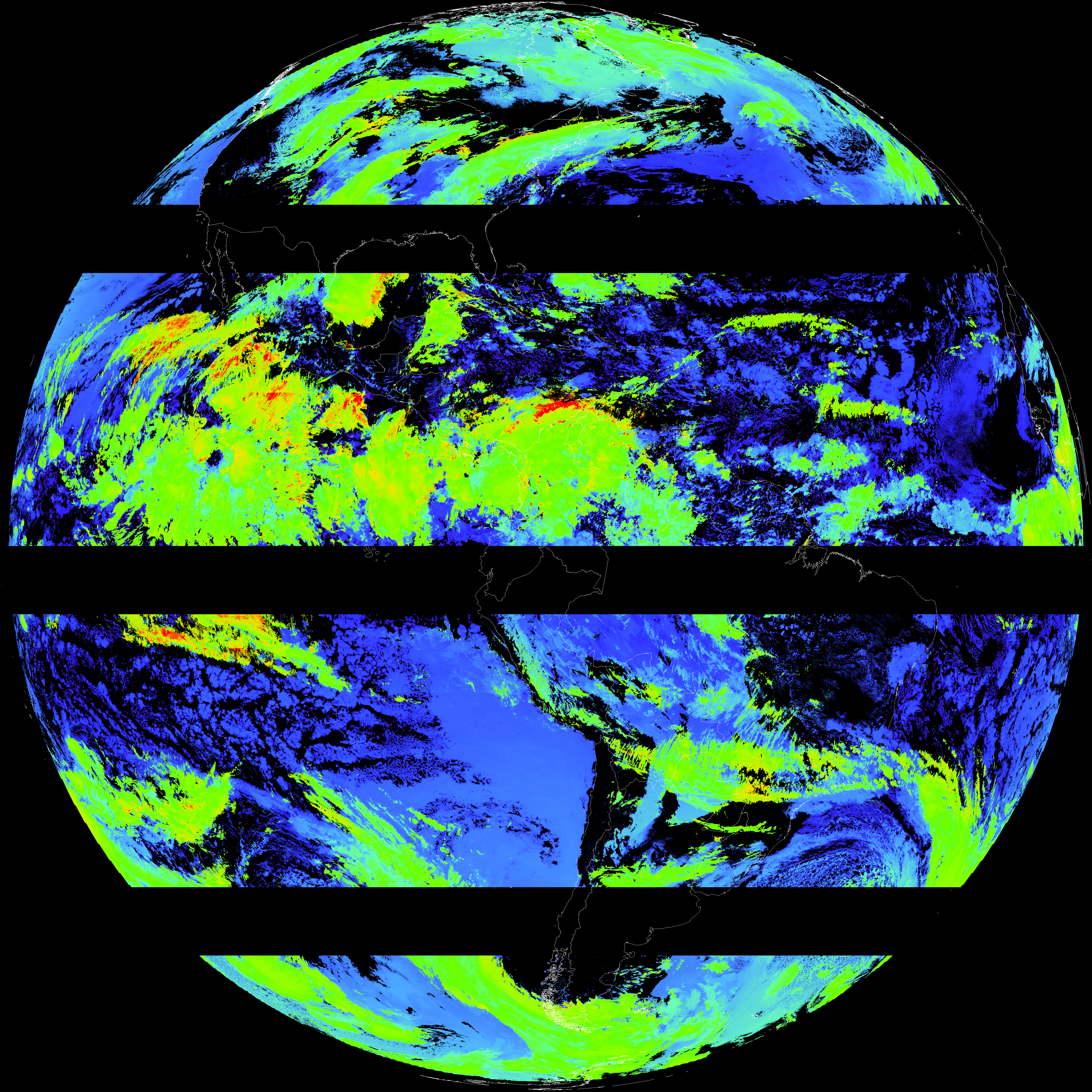
| G19_SST_20260521T180021Z.png | 7663307 | 2026-May-21 19:09 |
| abi_rgb_Cloud_top_Temperature_(ACHT)_map.png | 13255501 | 2026-May-21 19:06 |
| abi_rgb_Cloud_top_Temperature_(ACHT).png | 13164523 | 2026-May-21 19:06 |
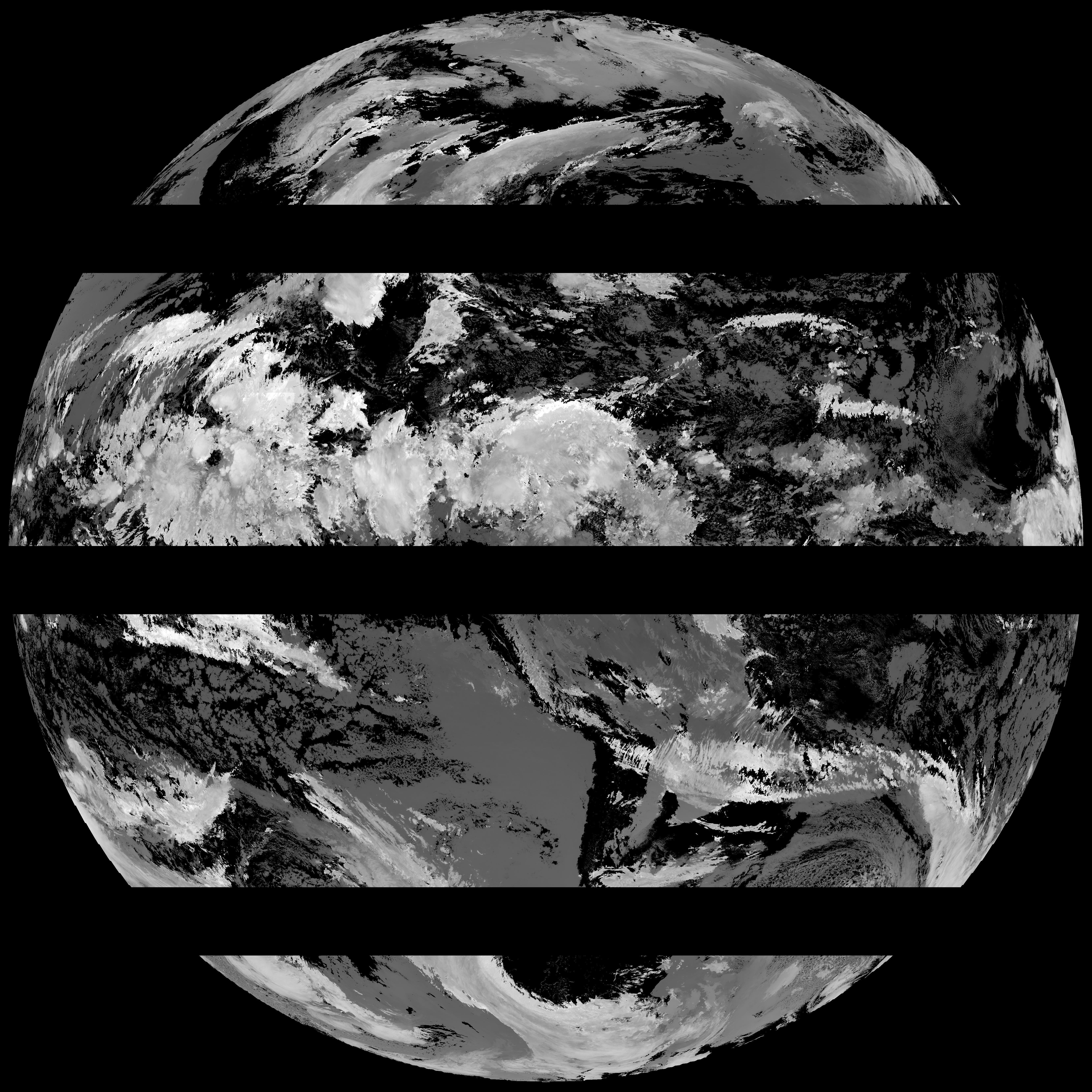
| G19_ACHT_20260521T180021Z.png | 9745516 | 2026-May-21 19:06 |
| abi_rgb_Derived_Stability_Indices_-_CAPE_map.png | 165765 | 2026-May-21 18:40 |
| abi_rgb_Derived_Stability_Indices_-_CAPE.png | 150968 | 2026-May-21 18:40 |
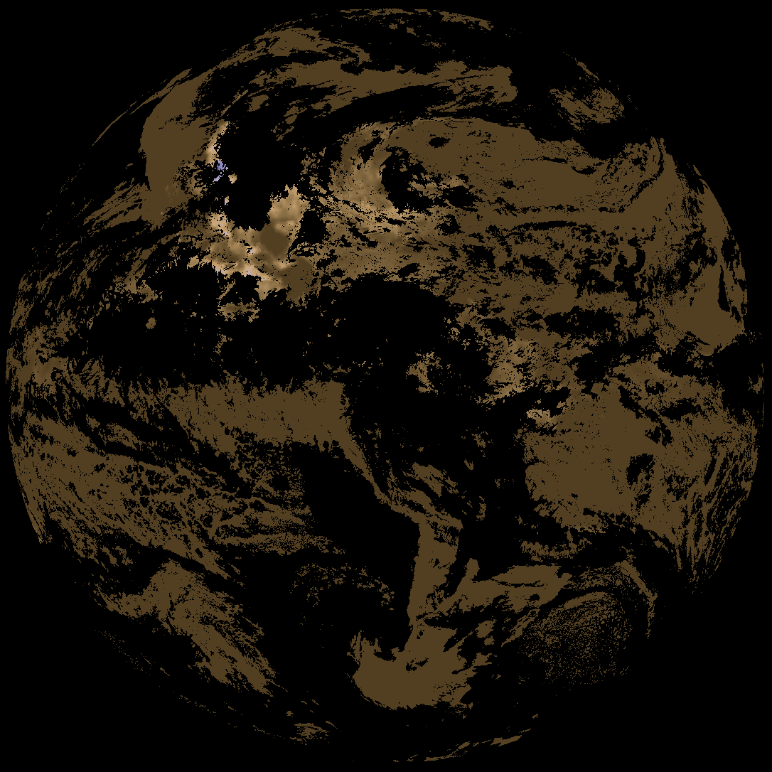
| G19_DSI_20260521T180021Z.png | 112847 | 2026-May-21 18:40 |