This directory hosts downlinked GOES products captured via SatDump. Content is organized by product family so operators and visitors can locate the feeds they need quickly.
| File Name ↓ | File Size ↓ | Date ↓ |
|---|---|---|
| Parent directory/ | - | - |
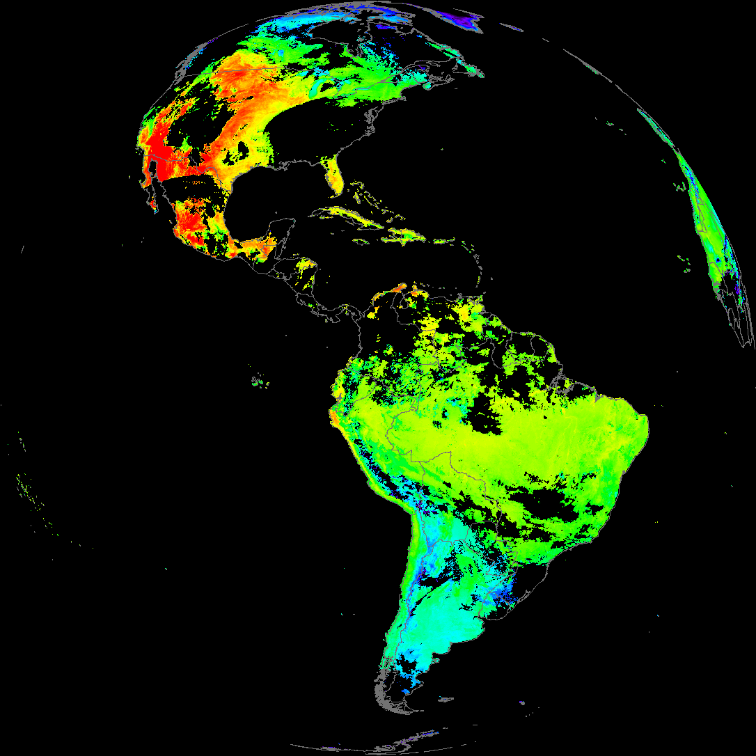
| abi_rgb_Land_Surface_Temperature_map.png | 175032 | 2026-May-25 23:12 |
| abi_rgb_Land_Surface_Temperature.png | 166491 | 2026-May-25 23:12 |
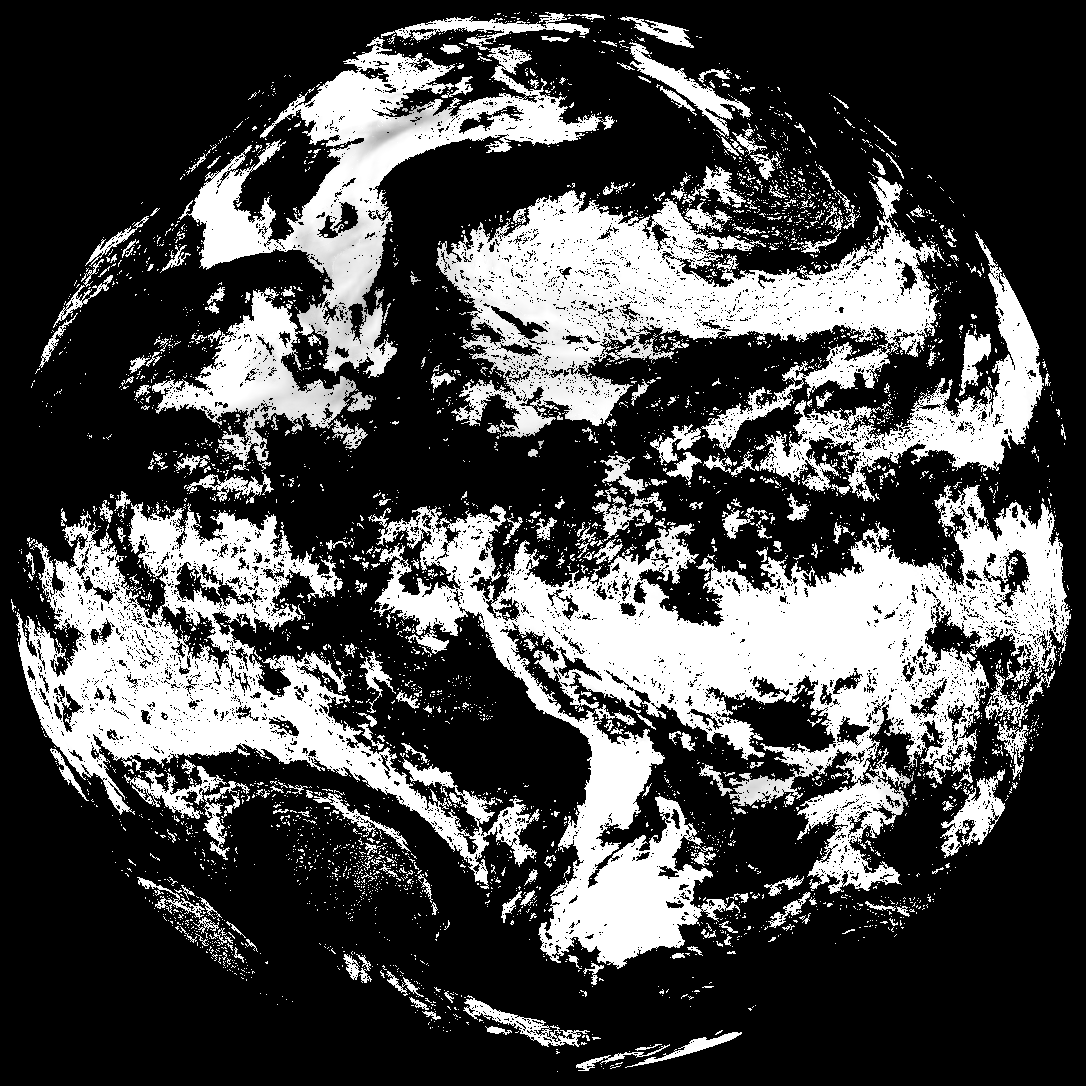
| G19_LST_20260525T220021Z.png | 124726 | 2026-May-25 23:12 |
| product.cbor | 621 | 2026-May-25 23:12 |
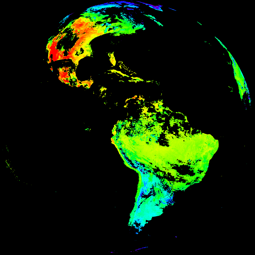
| abi_rgb_Derived_Stability_Indices_-_CAPE_map.png | 174696 | 2026-May-25 22:37 |
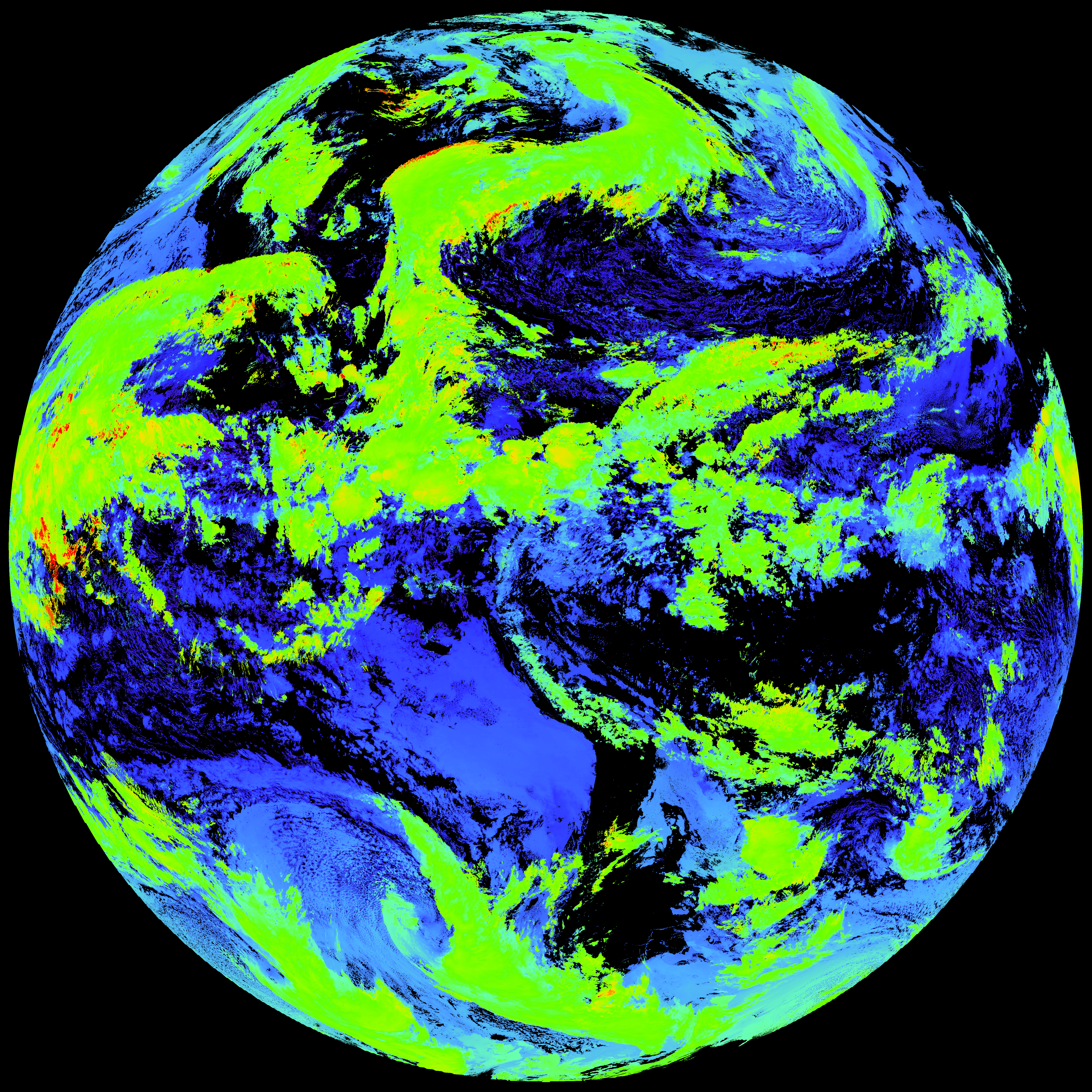
| abi_rgb_Derived_Stability_Indices_-_CAPE.png | 160466 | 2026-May-25 22:37 |
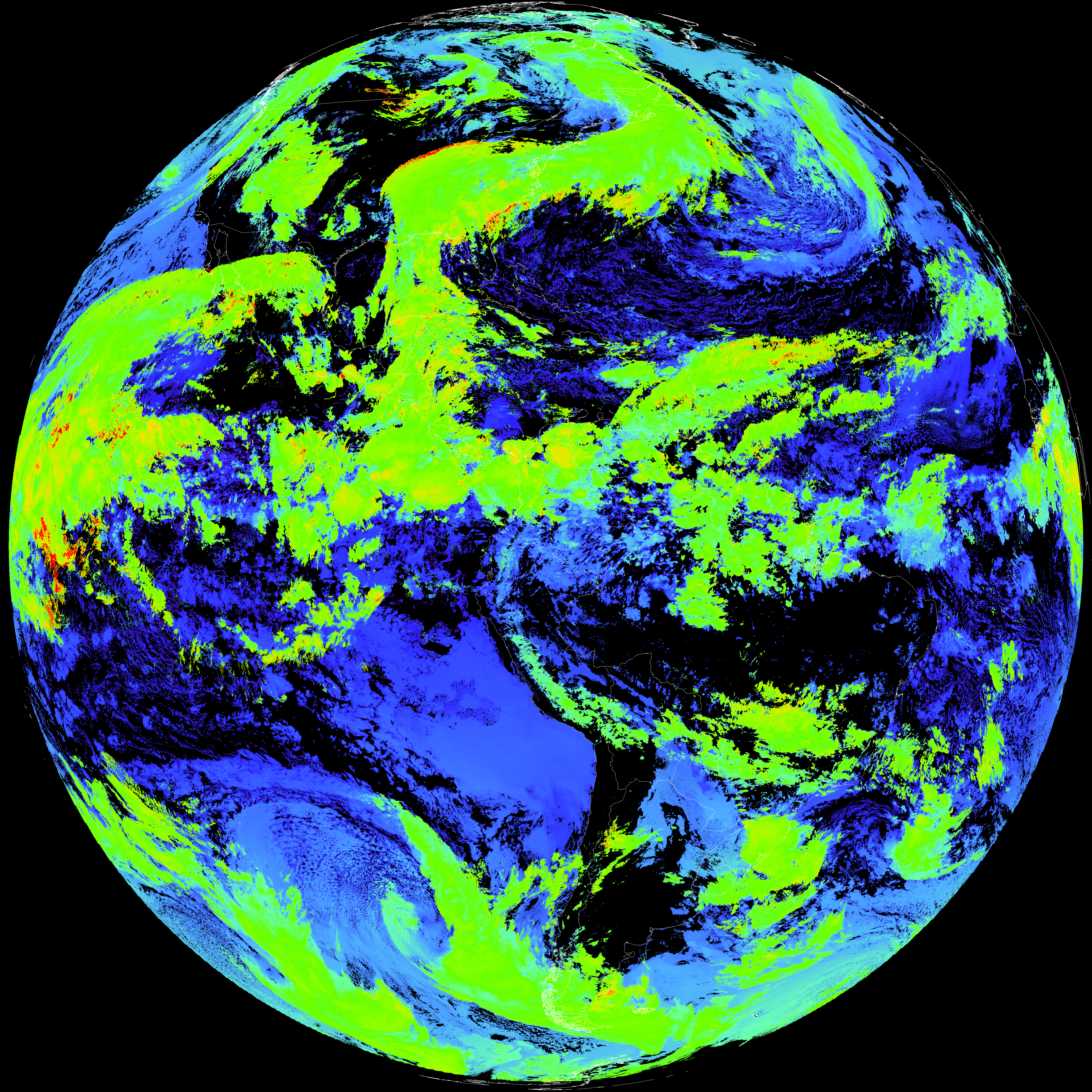
| G19_DSI_20260525T220021Z.png | 119128 | 2026-May-25 22:37 |
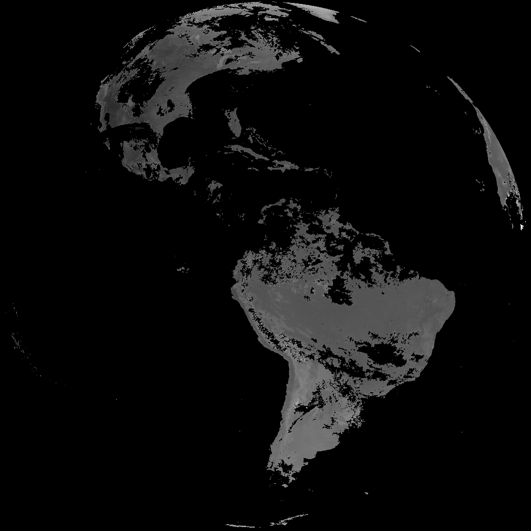
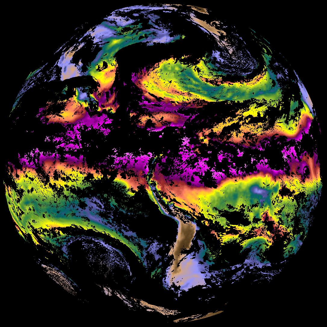
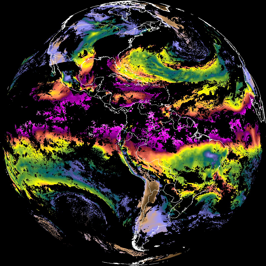
| abi_rgb_Cloud_top_Temperature_(ACHT)_map.png | 16842981 | 2026-May-25 22:37 |
| abi_rgb_Cloud_top_Temperature_(ACHT).png | 16771892 | 2026-May-25 22:37 |
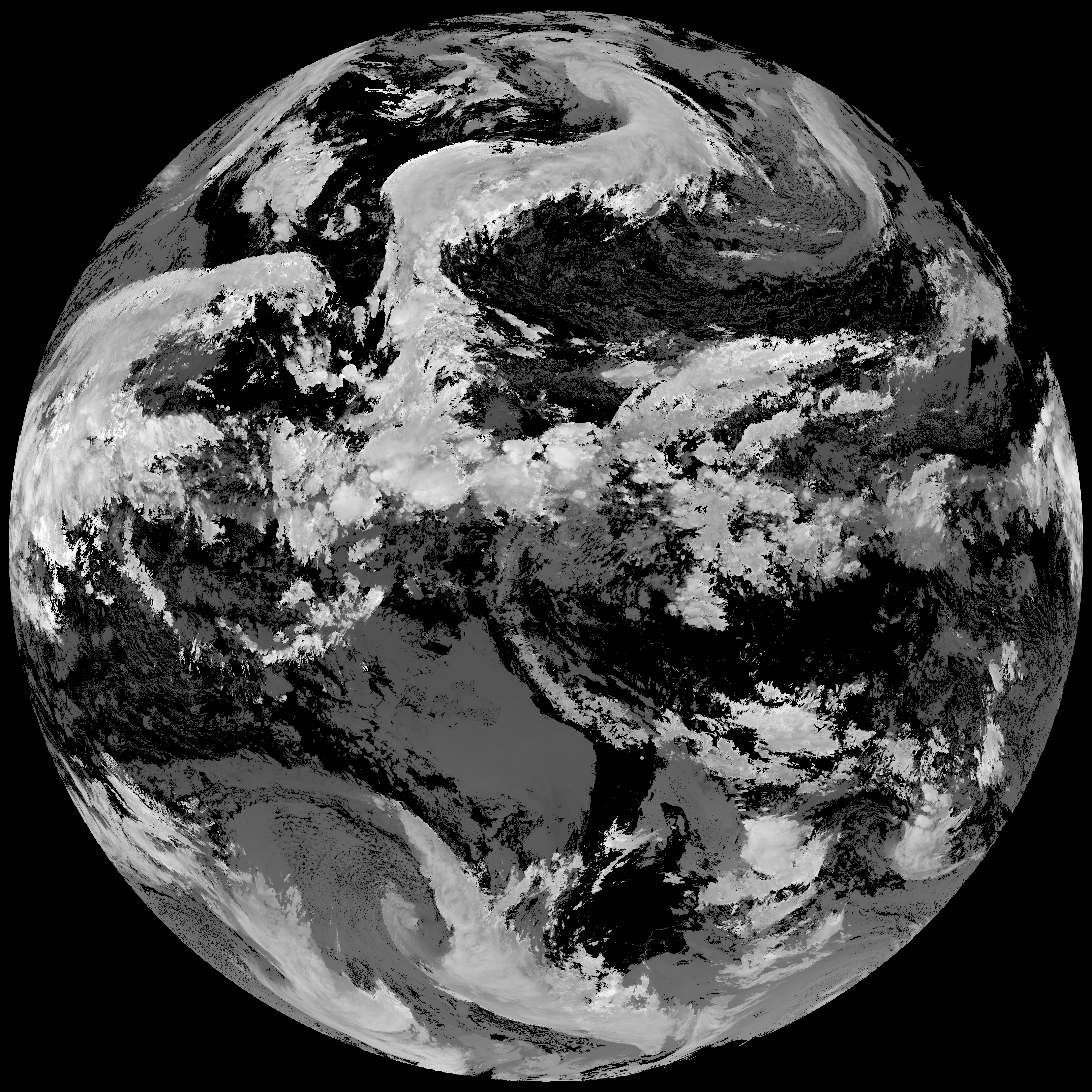
| G19_ACHT_20260525T220021Z.png | 12456369 | 2026-May-25 22:36 |
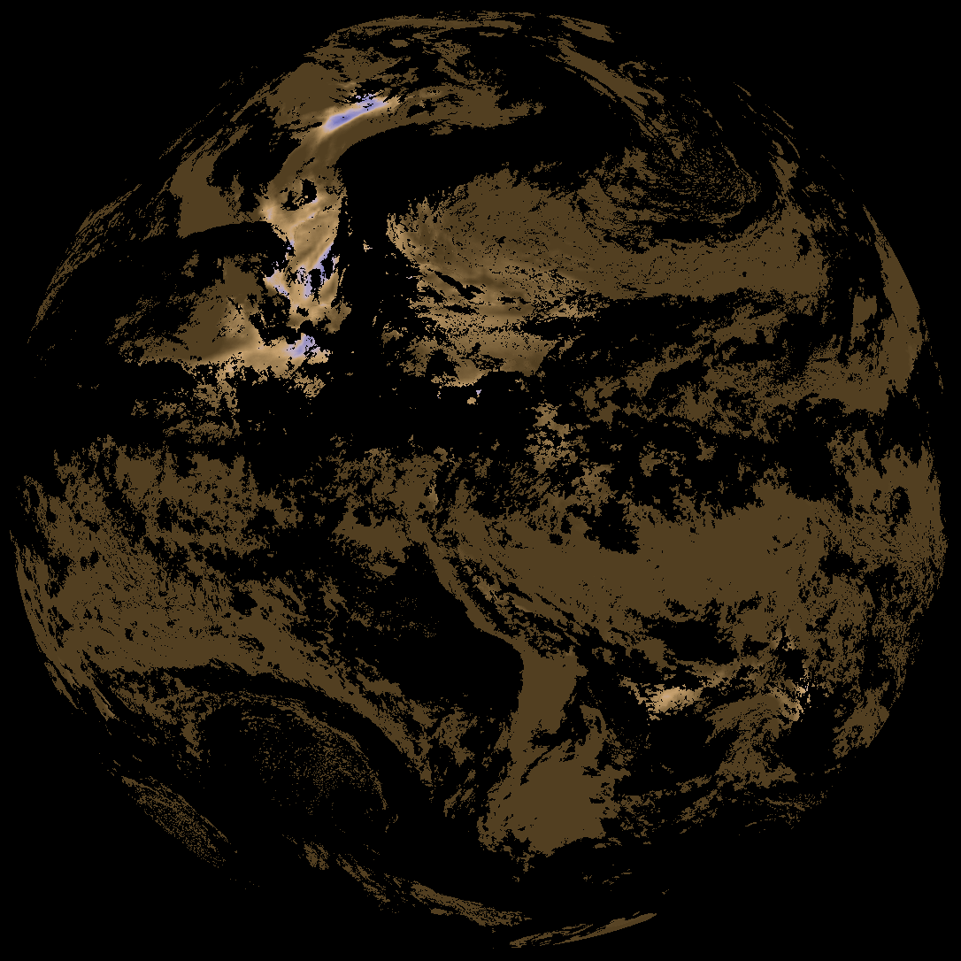
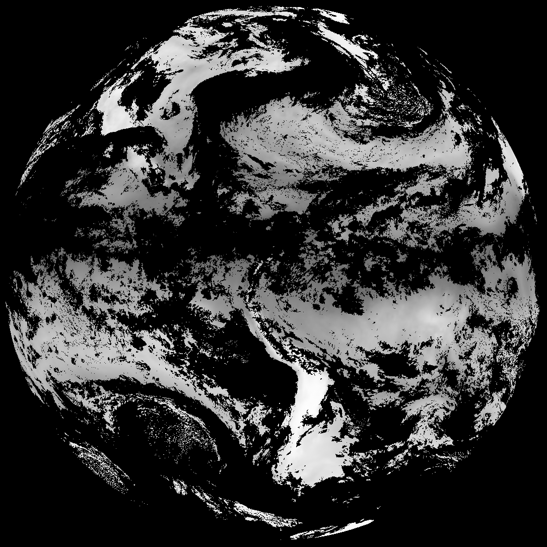
| abi_rgb_Total_Precipitable_Water.png | 308620 | 2026-May-25 22:31 |
| abi_rgb_Total_Precipitable_Water_map.png | 320746 | 2026-May-25 22:31 |
| G19_TPW_20260525T220021Z.png | 236108 | 2026-May-25 22:31 |