This directory hosts downlinked GOES products captured via SatDump. Content is organized by product family so operators and visitors can locate the feeds they need quickly.
| File Name ↓ | File Size ↓ | Date ↓ |
|---|---|---|
| Parent directory/ | - | - |
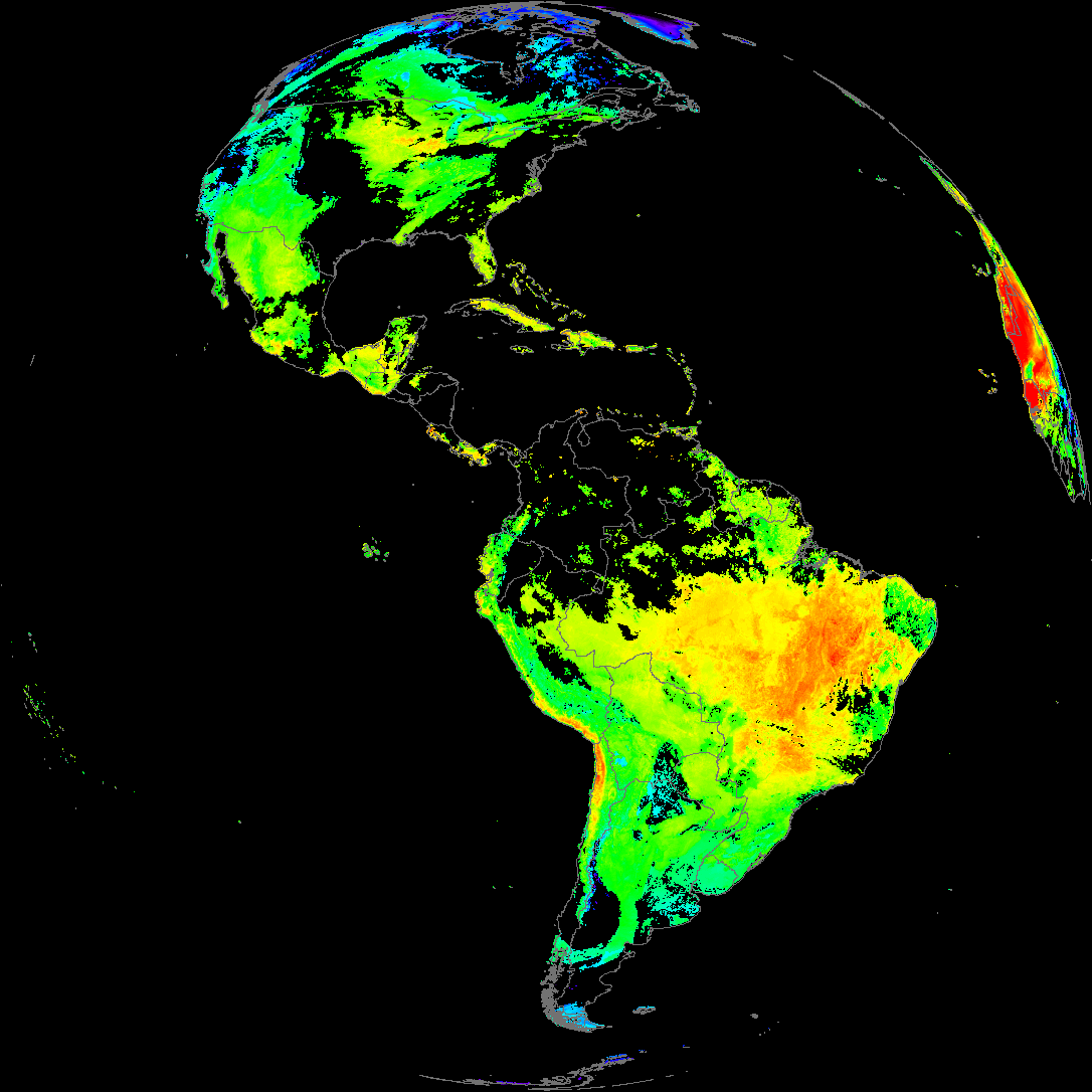
| abi_rgb_Land_Surface_Temperature_map.png | 172735 | 2026-May-27 15:12 |
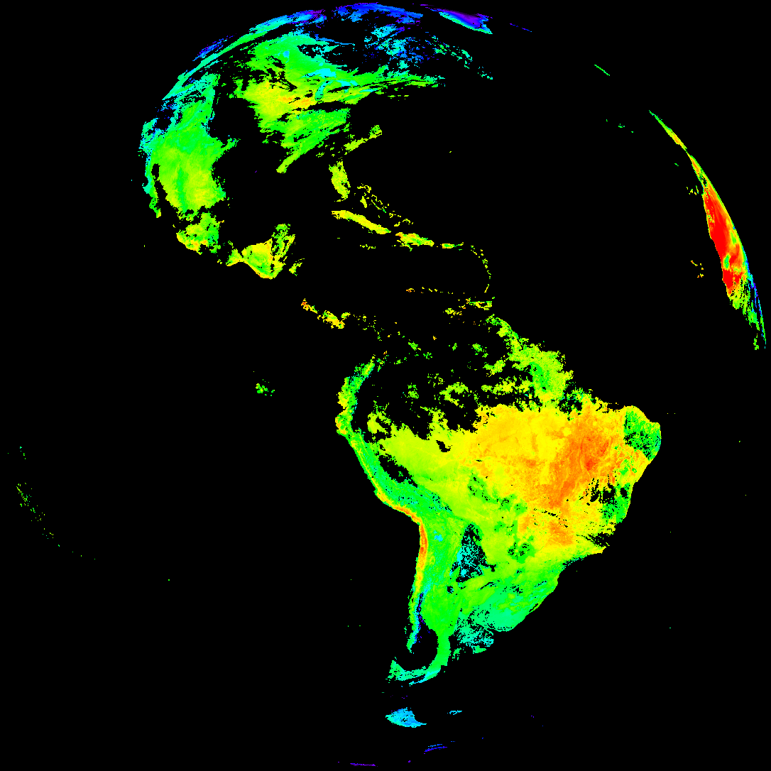
| abi_rgb_Land_Surface_Temperature.png | 164050 | 2026-May-27 15:12 |
| product.cbor | 621 | 2026-May-27 15:12 |
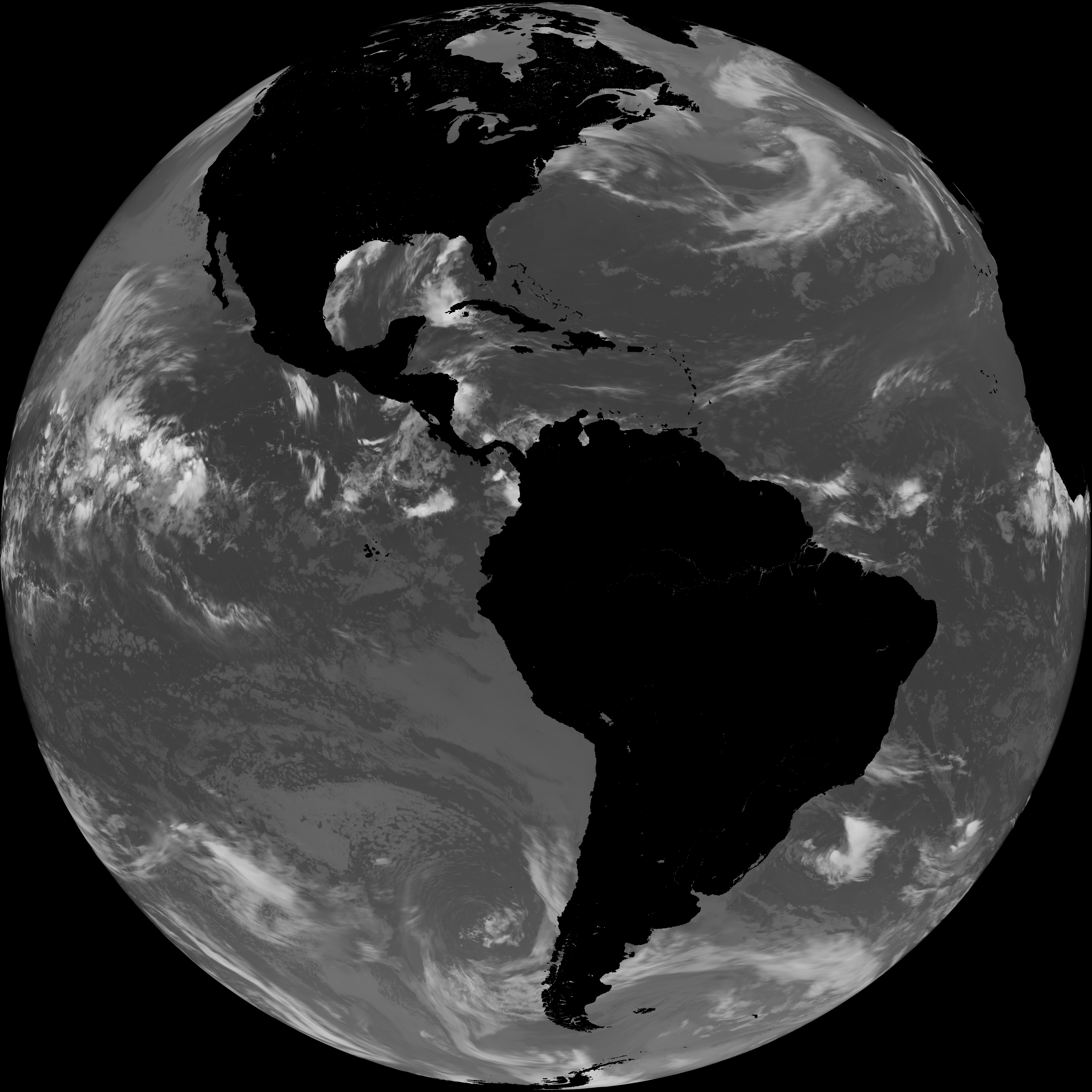
| G19_LST_20260527T140020Z.png | 123443 | 2026-May-27 15:12 |
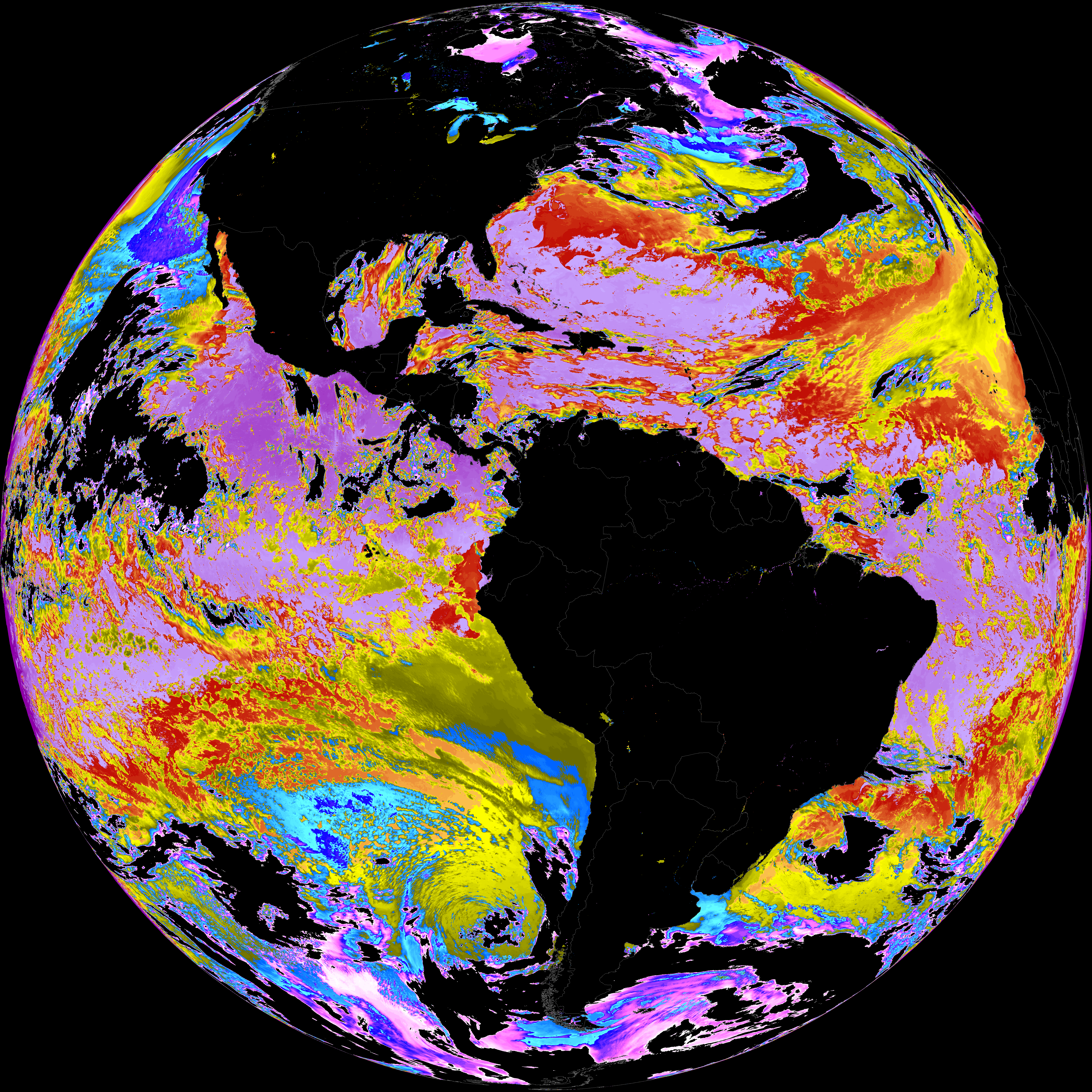
| abi_rgb_Sea_Surface_Temperature_map.png | 8036847 | 2026-May-27 15:10 |
| abi_rgb_Sea_Surface_Temperature.png | 7933797 | 2026-May-27 15:10 |
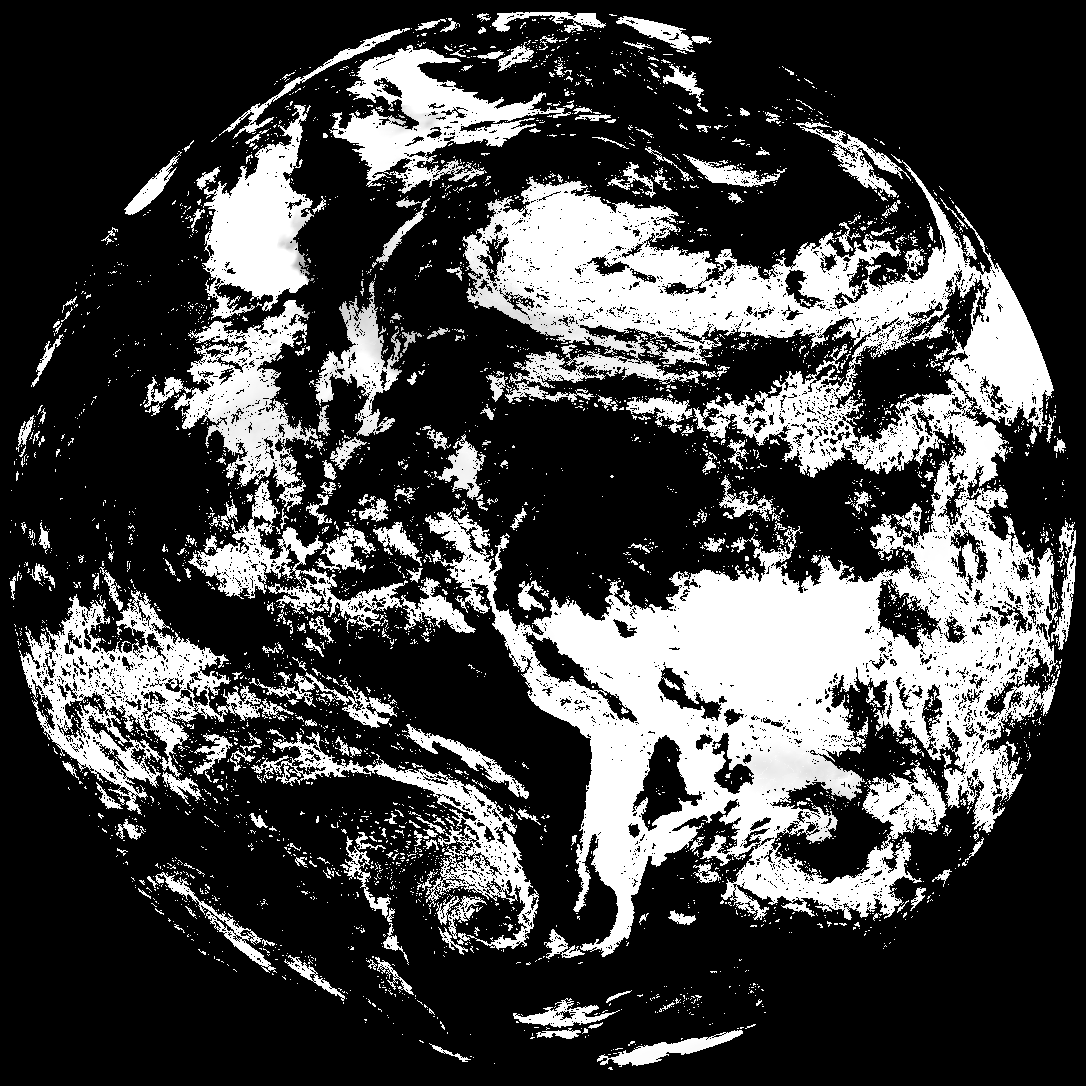
| G19_SST_20260527T140020Z.png | 8079395 | 2026-May-27 15:10 |
| abi_rgb_Derived_Stability_Indices_-_CAPE_map.png | 152245 | 2026-May-27 14:39 |
| abi_rgb_Derived_Stability_Indices_-_CAPE.png | 136499 | 2026-May-27 14:39 |
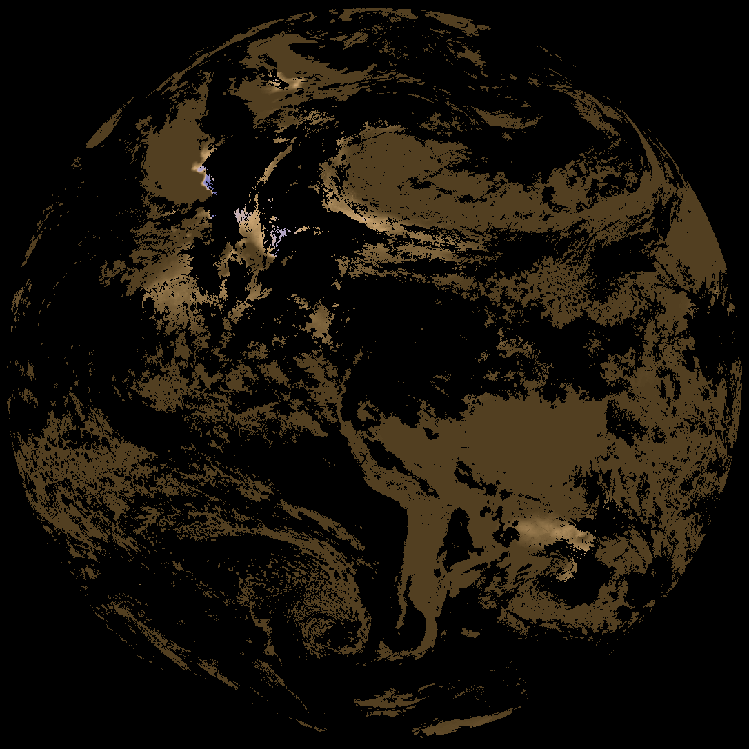
| G19_DSI_20260527T140020Z.png | 101213 | 2026-May-27 14:38 |
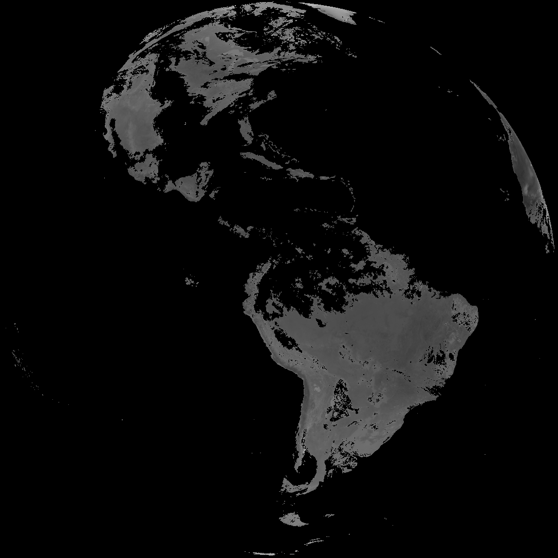
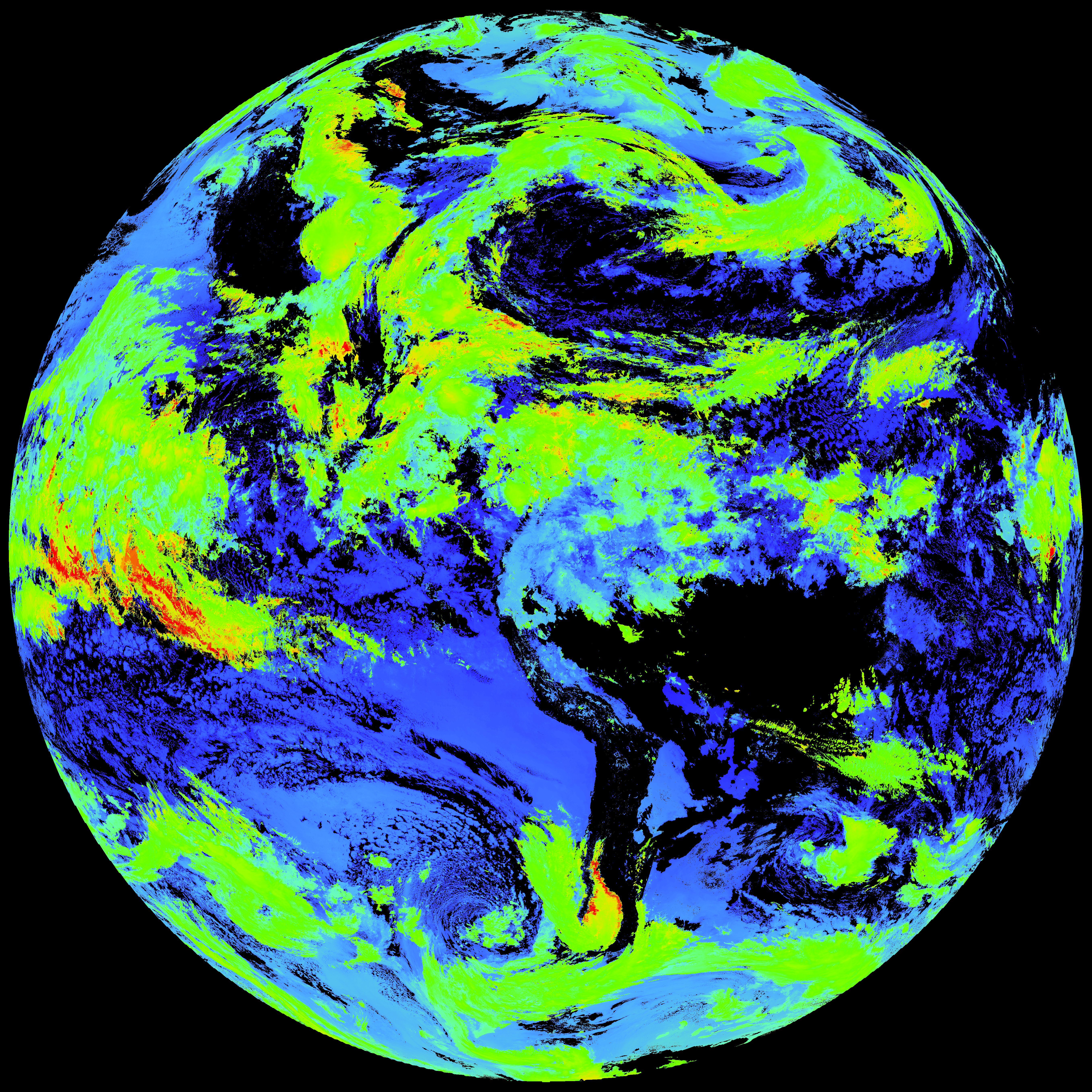
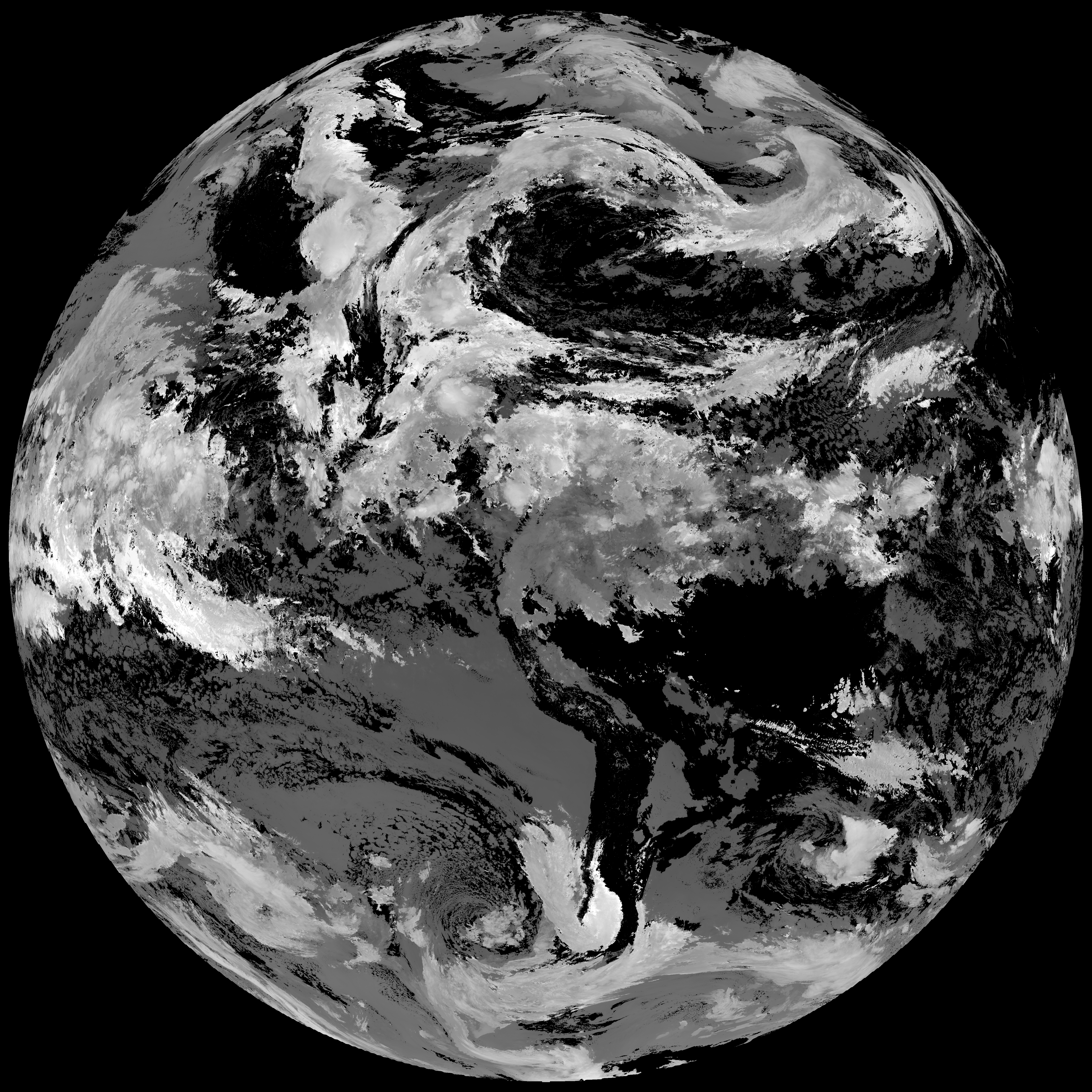
| abi_rgb_Cloud_top_Temperature_(ACHT)_map.png | 16492611 | 2026-May-27 14:38 |
| abi_rgb_Cloud_top_Temperature_(ACHT).png | 16423715 | 2026-May-27 14:38 |
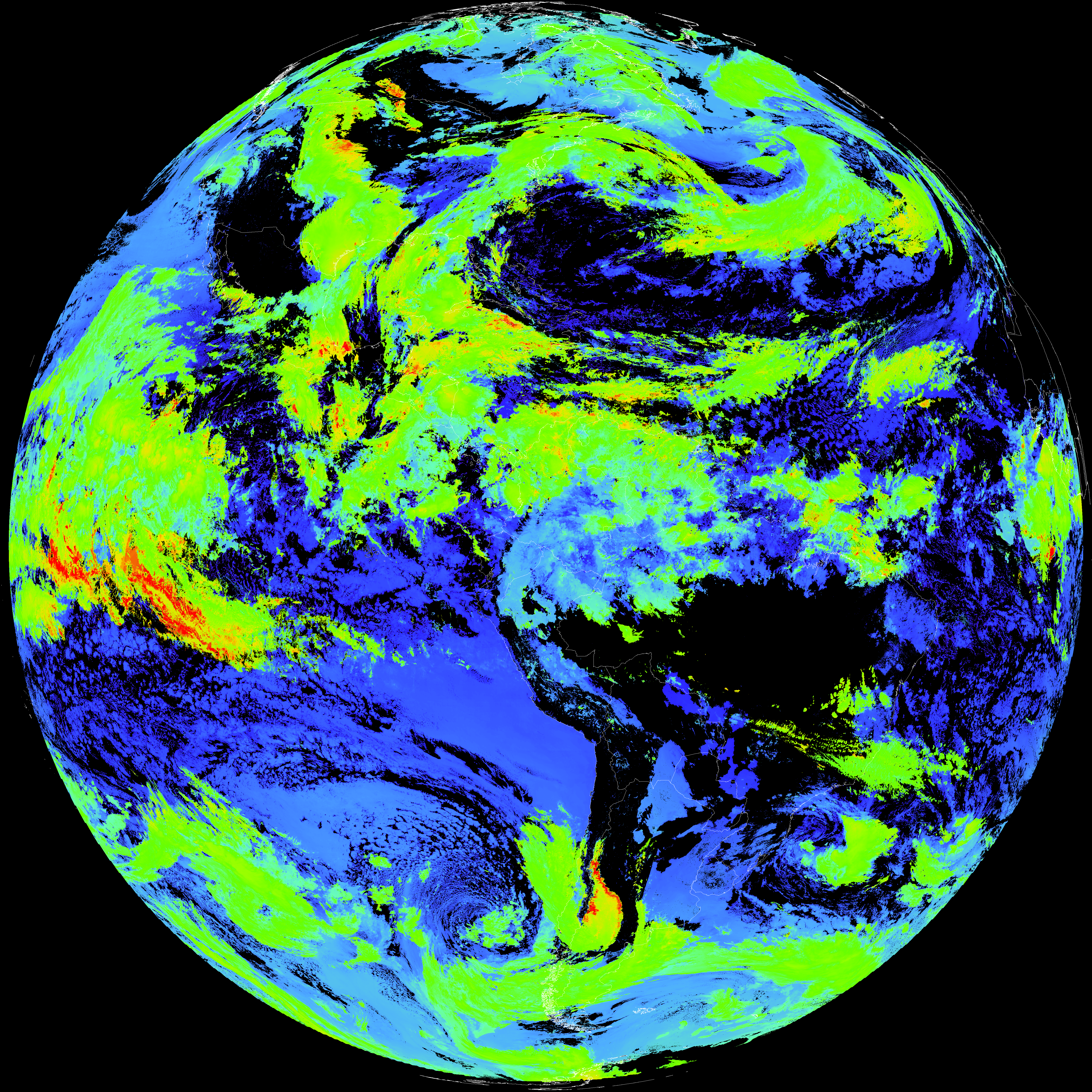
| G19_ACHT_20260527T140020Z.png | 12258570 | 2026-May-27 14:37 |