This directory hosts downlinked GOES products captured via SatDump. Content is organized by product family so operators and visitors can locate the feeds they need quickly.
| File Name ↓ | File Size ↓ | Date ↓ |
|---|---|---|
| Parent directory/ | - | - |
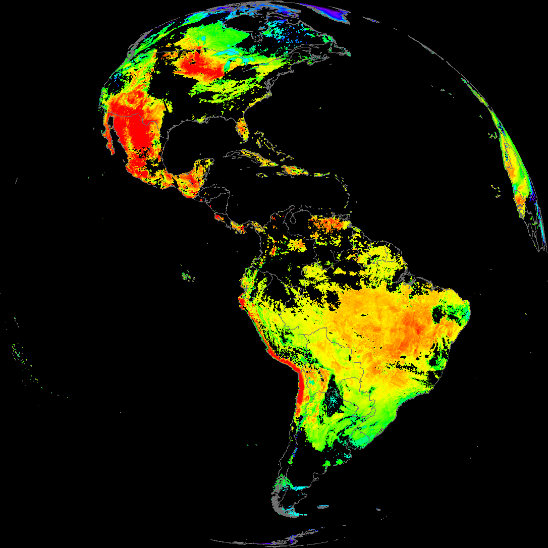
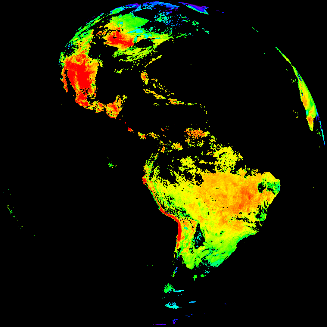
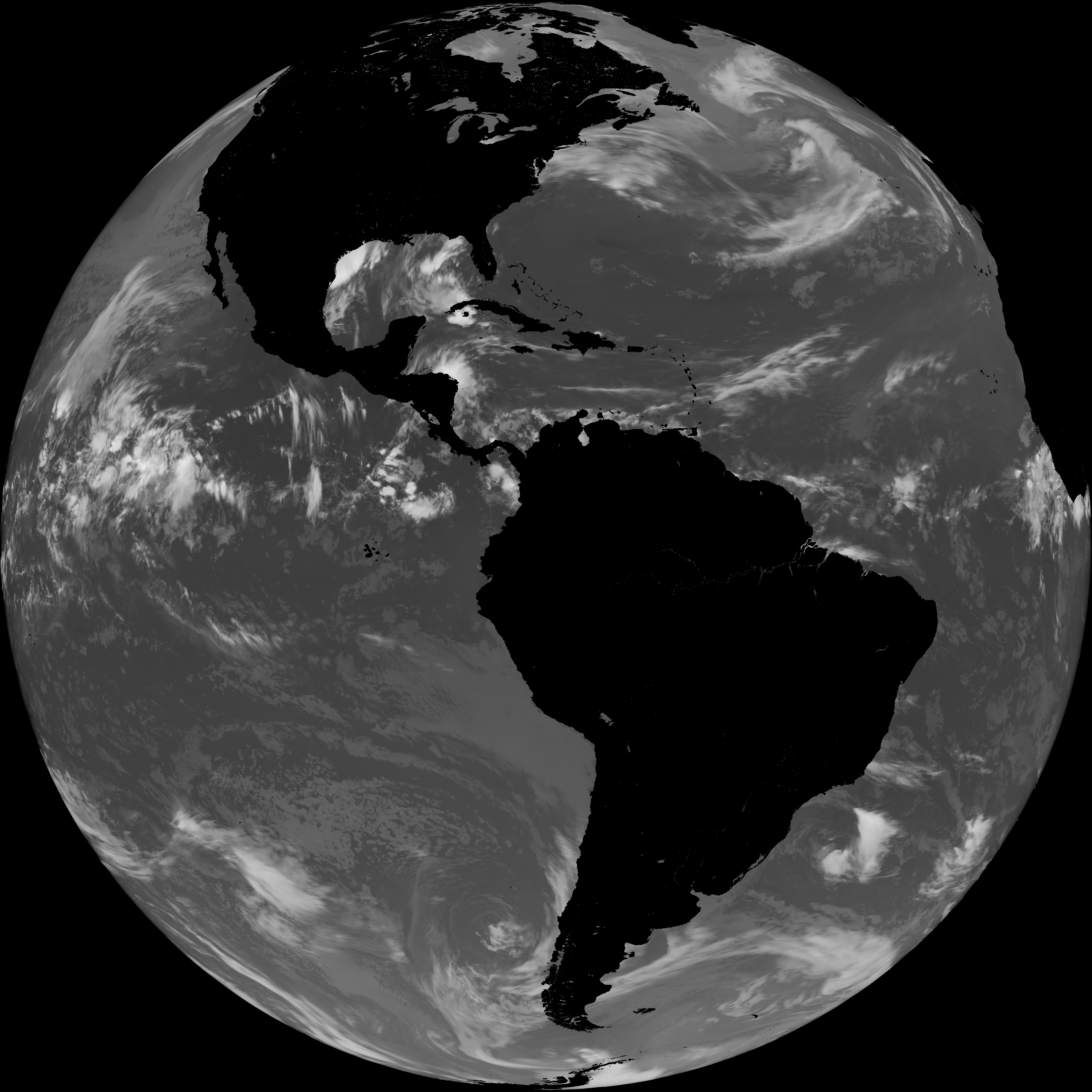
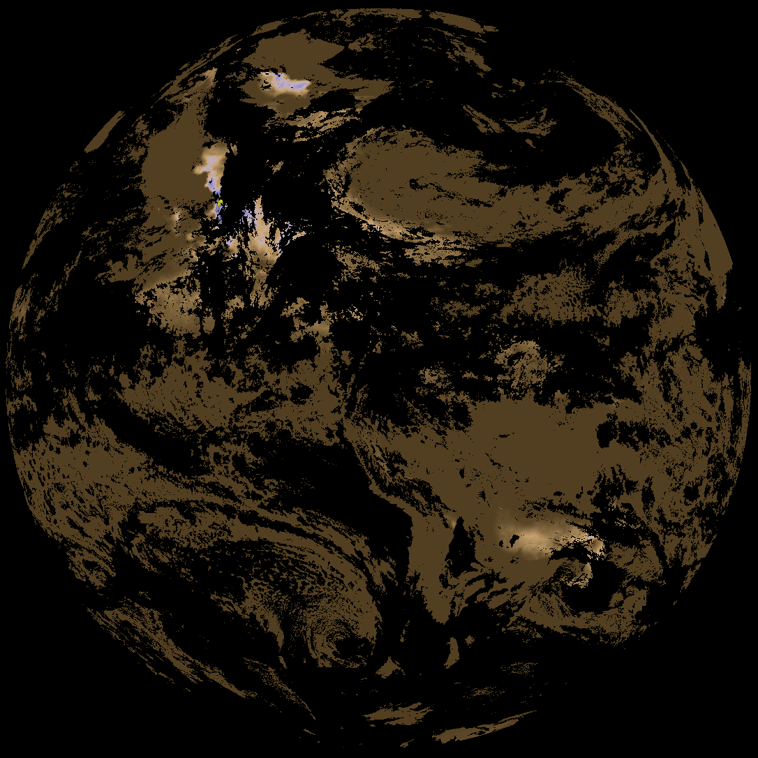
| abi_rgb_Land_Surface_Temperature_map.png | 180962 | 2026-May-27 19:12 |
| product.cbor | 621 | 2026-May-27 19:12 |
| abi_rgb_Land_Surface_Temperature.png | 173950 | 2026-May-27 19:12 |
| G19_LST_20260527T180020Z.png | 131937 | 2026-May-27 19:12 |
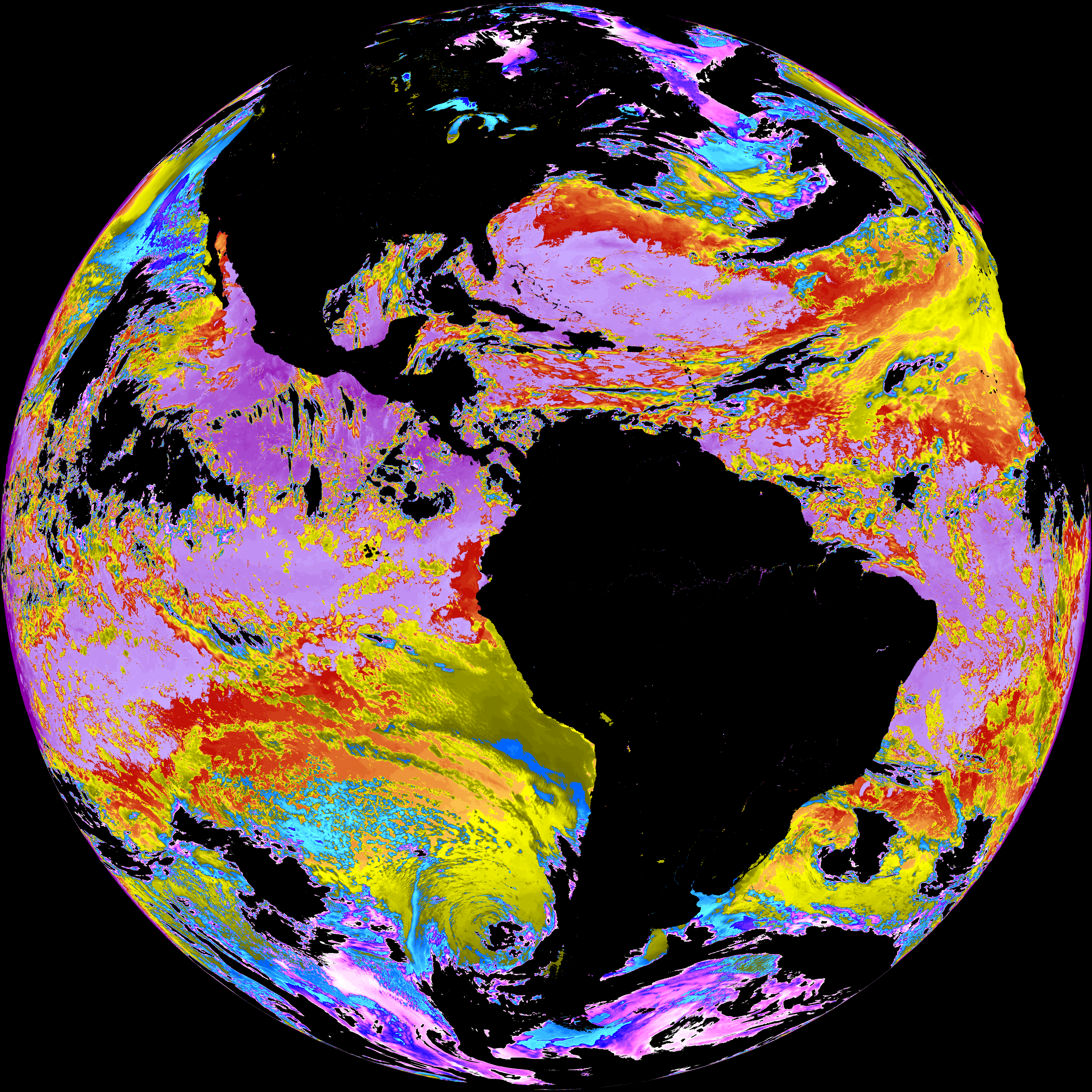
| abi_rgb_Sea_Surface_Temperature_map.png | 8024725 | 2026-May-27 19:10 |
| abi_rgb_Sea_Surface_Temperature.png | 7924458 | 2026-May-27 19:10 |
| G19_SST_20260527T180020Z.png | 8114564 | 2026-May-27 19:10 |
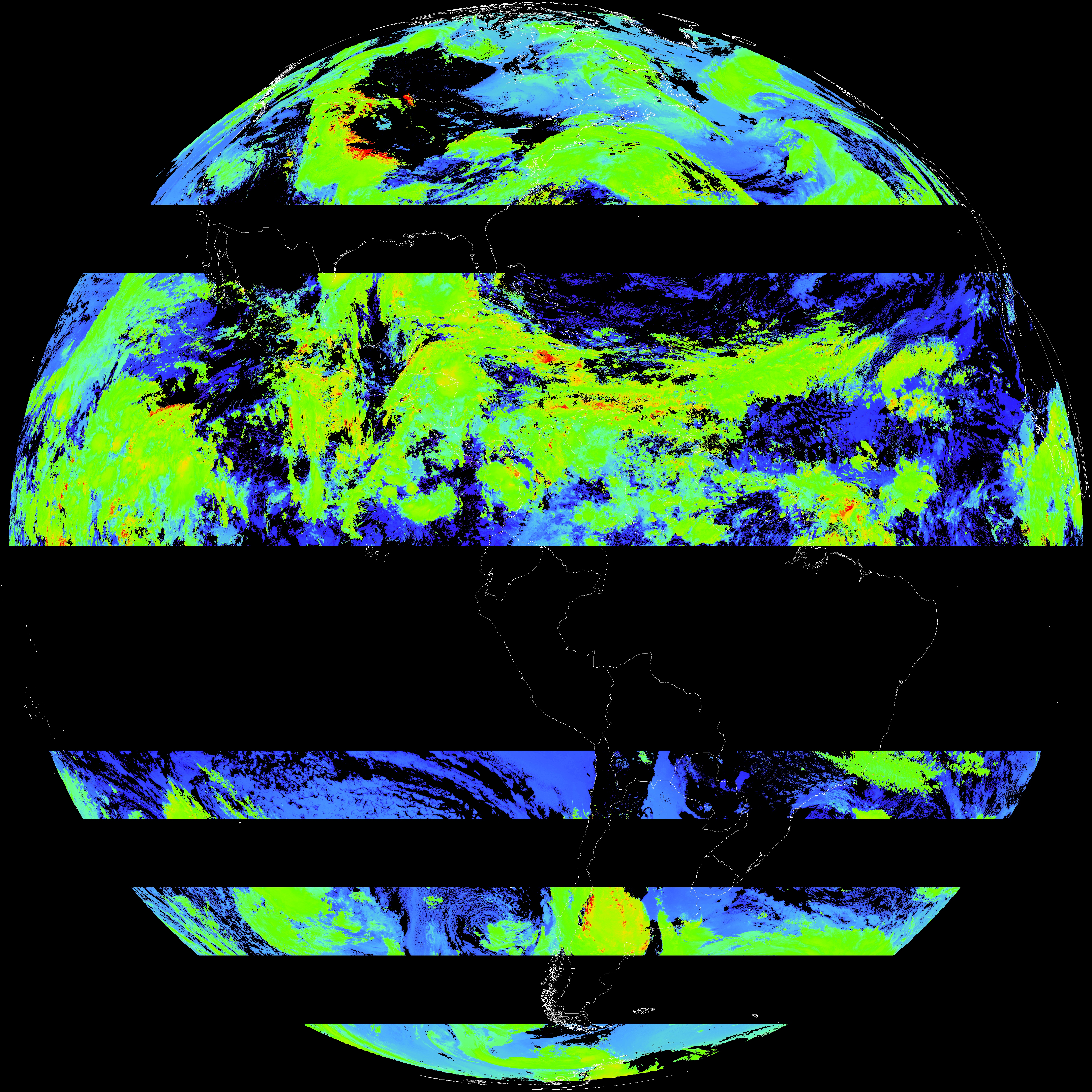
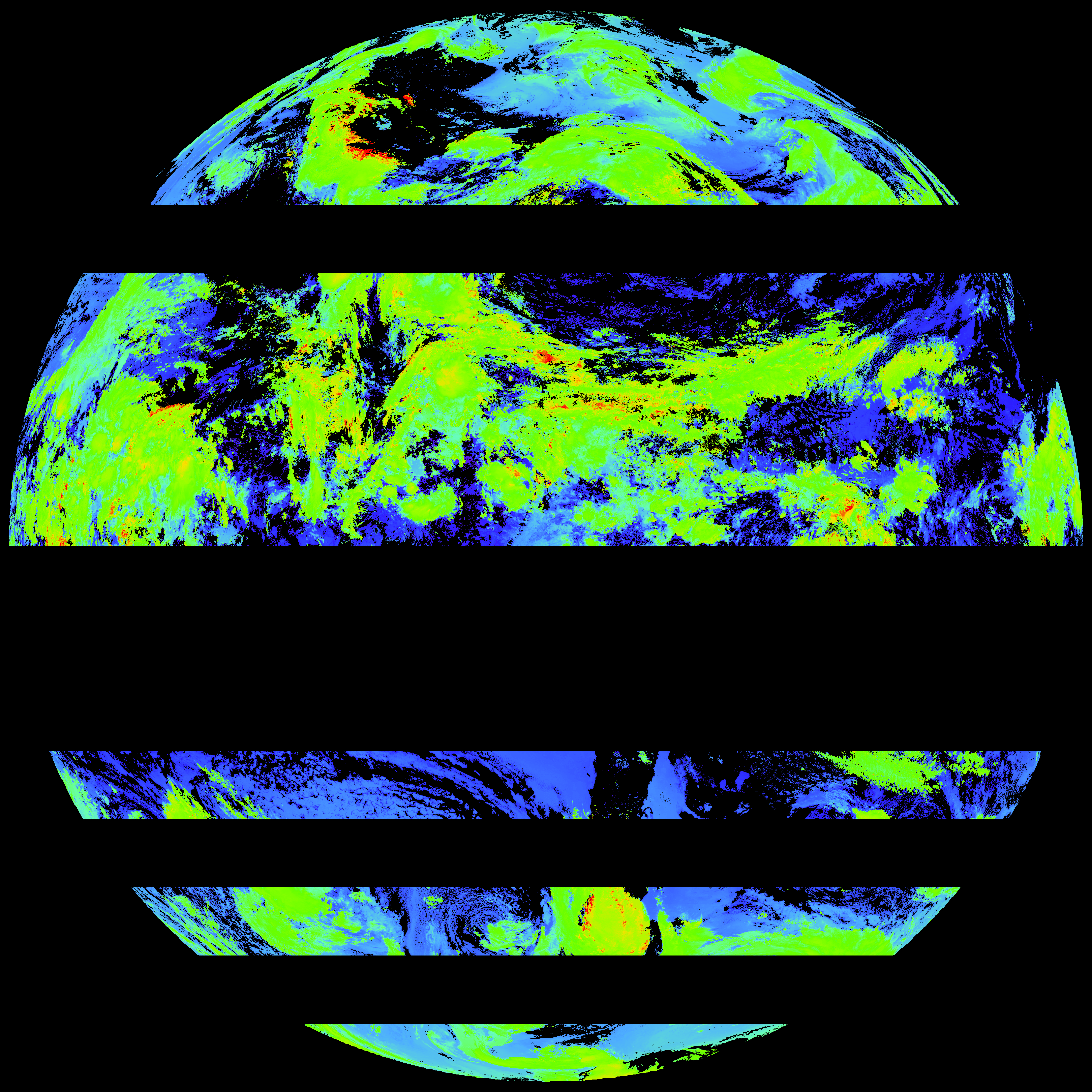
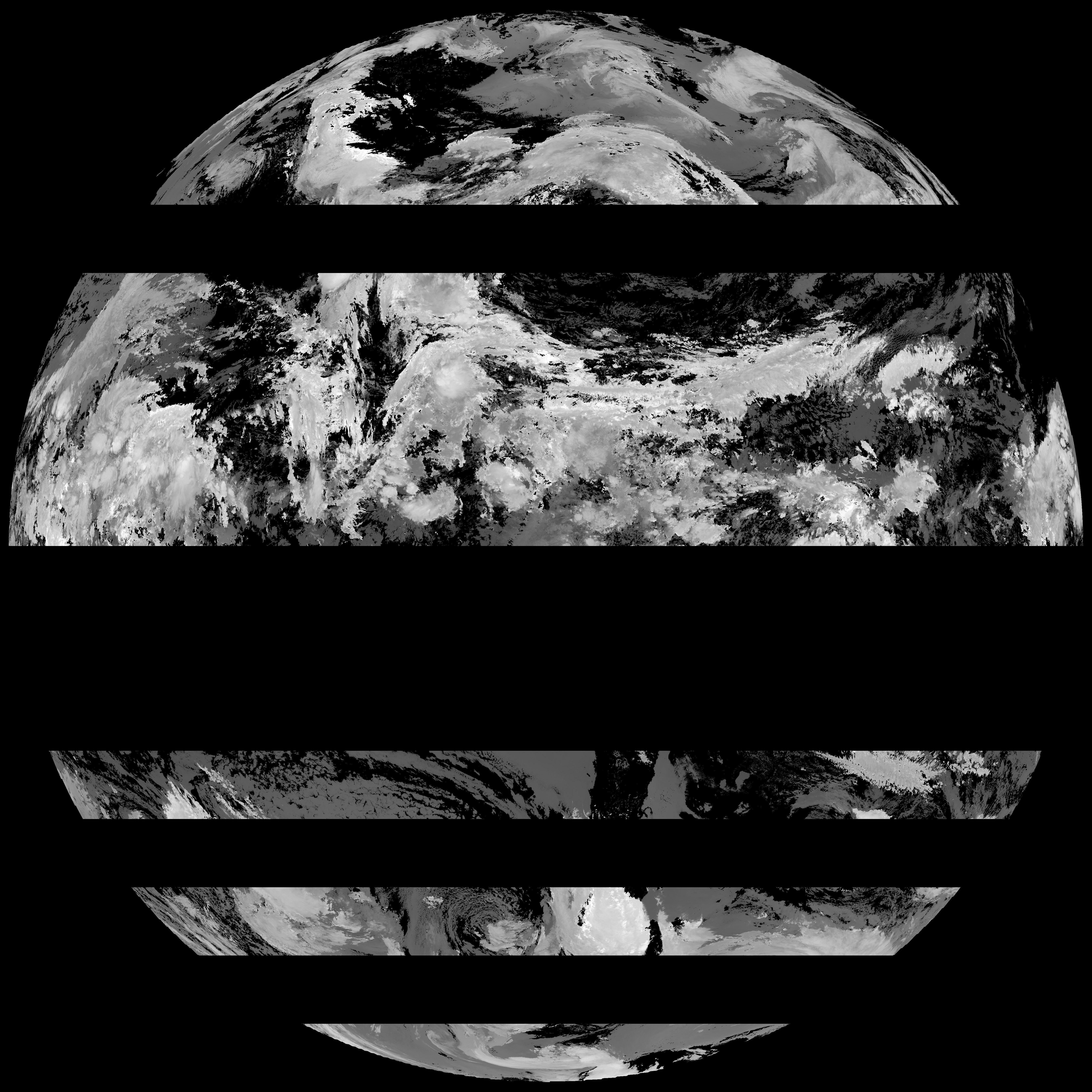
| abi_rgb_Cloud_top_Temperature_(ACHT)_map.png | 10762642 | 2026-May-27 19:06 |
| abi_rgb_Cloud_top_Temperature_(ACHT).png | 10664511 | 2026-May-27 19:06 |
| G19_ACHT_20260527T180020Z.png | 7918710 | 2026-May-27 19:06 |
| abi_rgb_Derived_Stability_Indices_-_CAPE_map.png | 170159 | 2026-May-27 18:40 |
| abi_rgb_Derived_Stability_Indices_-_CAPE.png | 155269 | 2026-May-27 18:40 |
| G19_DSI_20260527T180020Z.png | 114267 | 2026-May-27 18:40 |