This directory hosts downlinked GOES products captured via SatDump. Content is organized by product family so operators and visitors can locate the feeds they need quickly.
| File Name ↓ | File Size ↓ | Date ↓ |
|---|---|---|
| Parent directory/ | - | - |
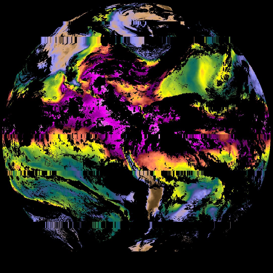
| abi_rgb_Sea_Surface_Temperature_map.png | 3410591 | 2026-May-28 22:38 |
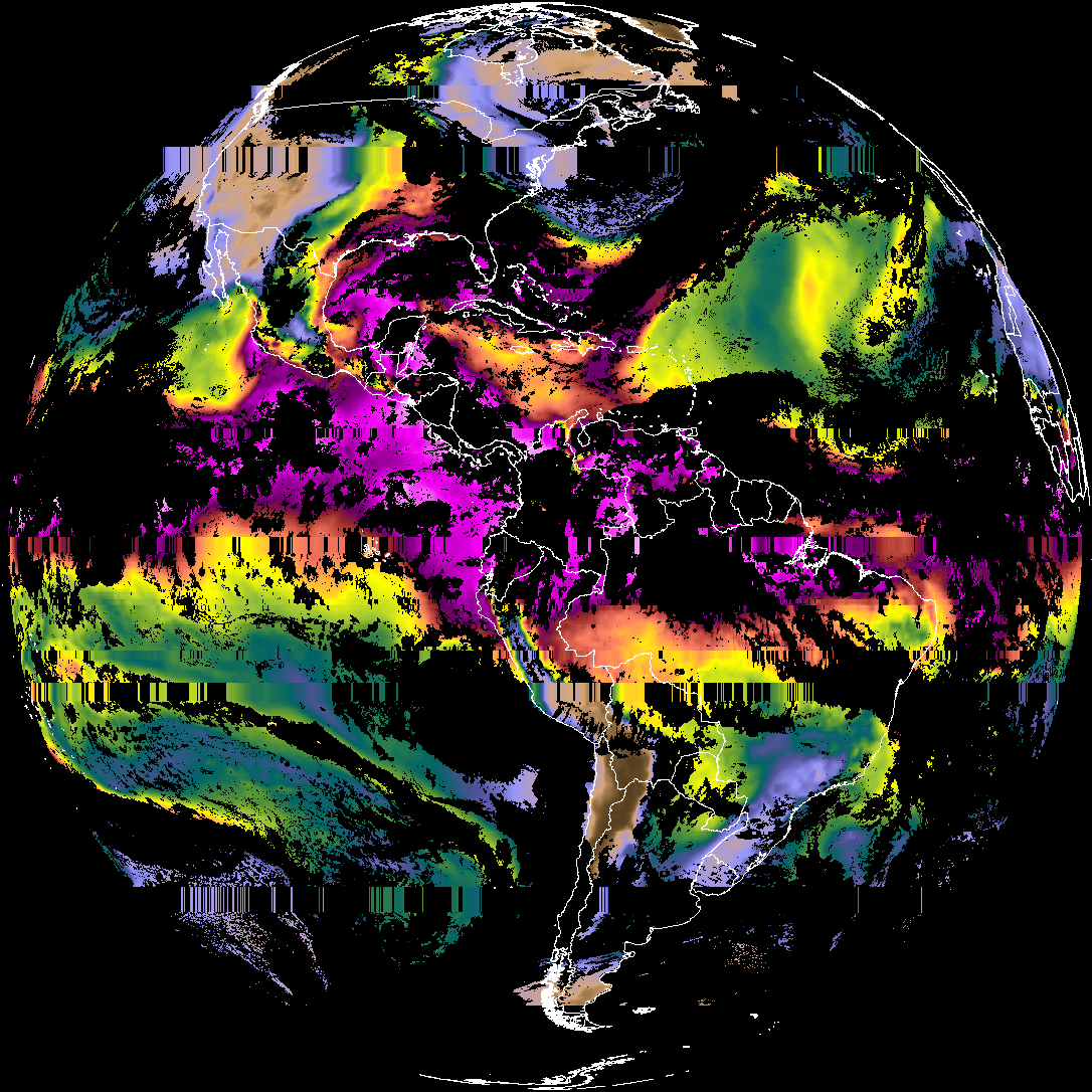
| abi_rgb_Sea_Surface_Temperature.png | 3286515 | 2026-May-28 22:38 |
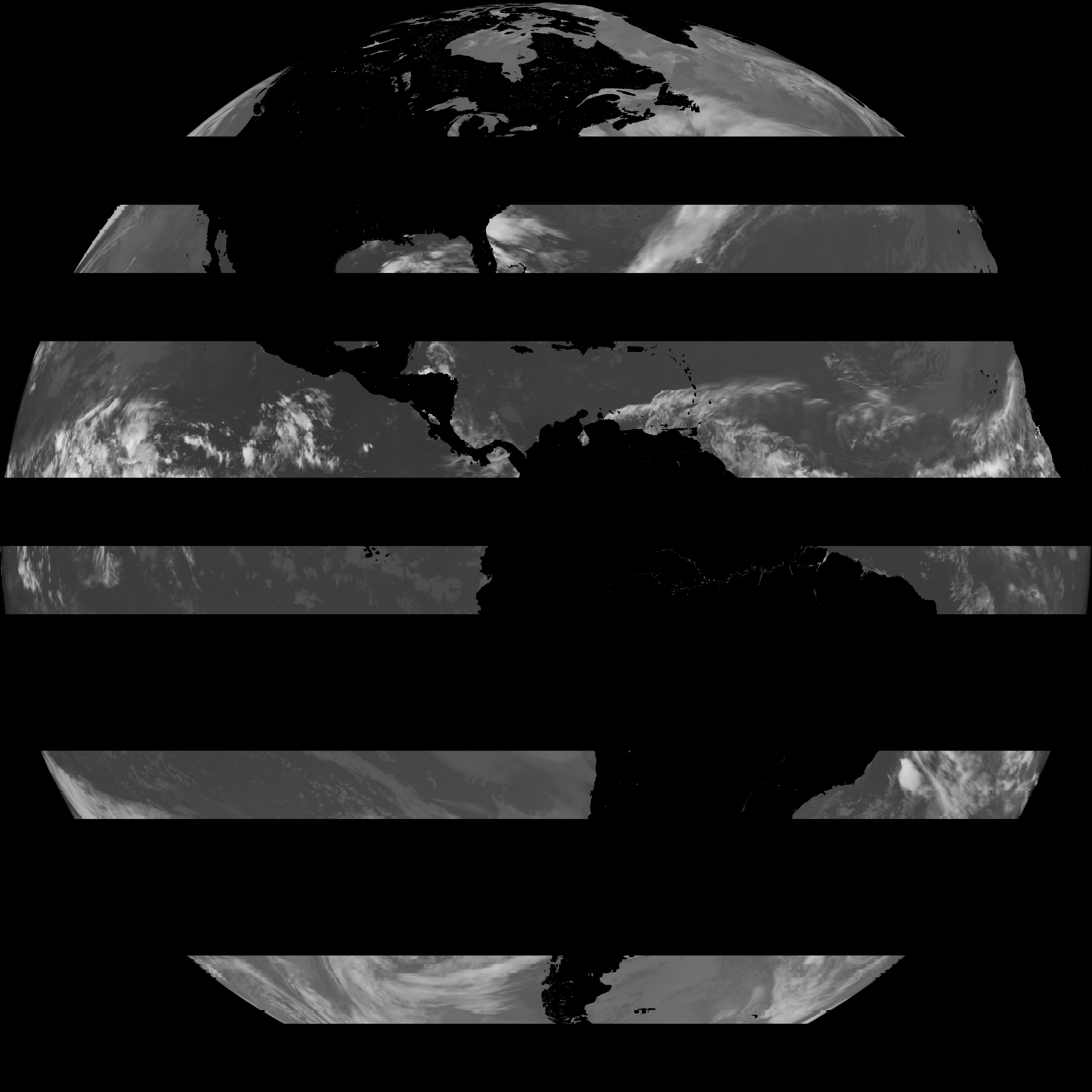
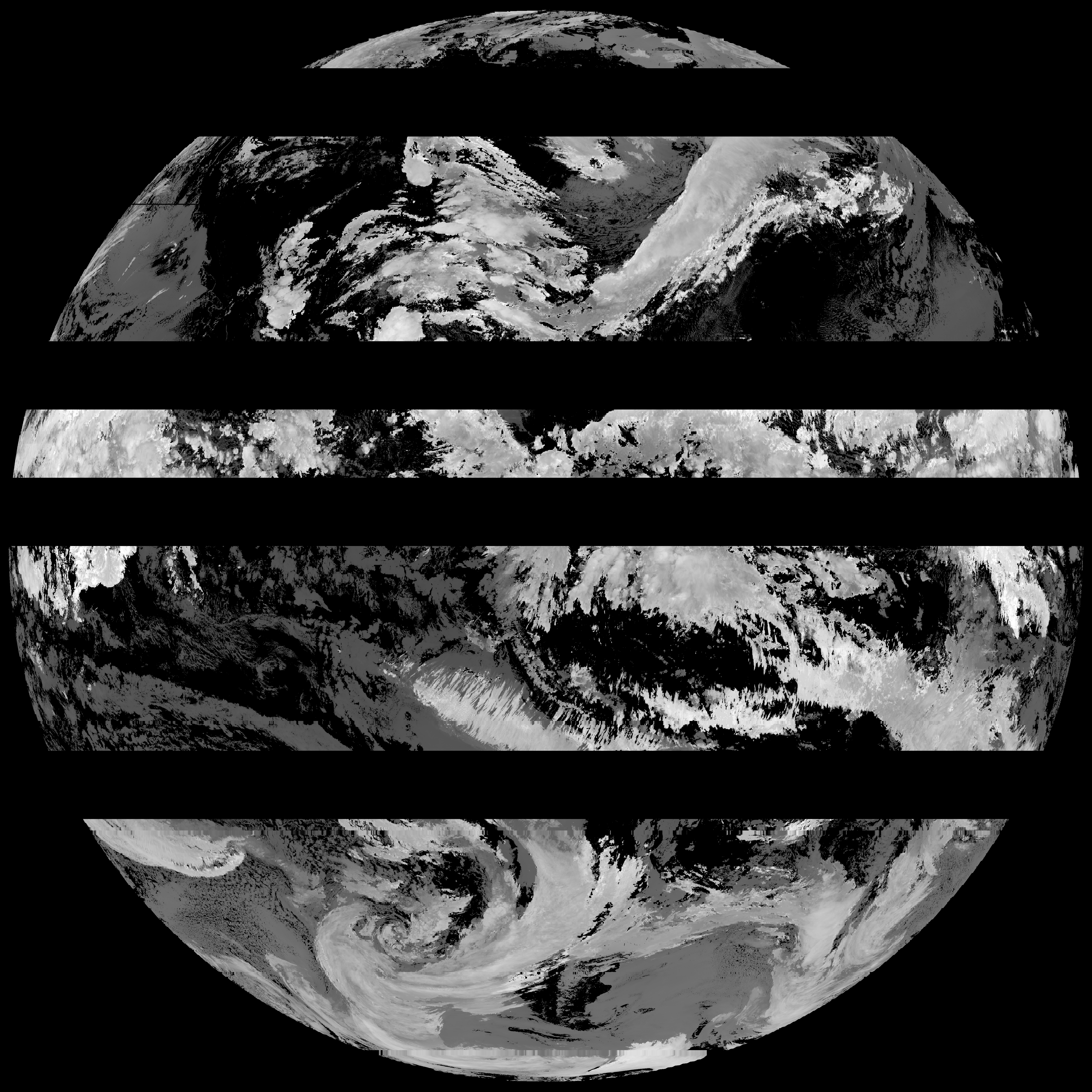
| G19_SST_20260531T220020Z.png | 3464874 | 2026-May-28 22:38 |
| product.cbor | 621 | 2026-May-28 22:38 |
| abi_rgb_Land_Surface_Temperature_map.png | 169765 | 2026-May-28 22:20 |
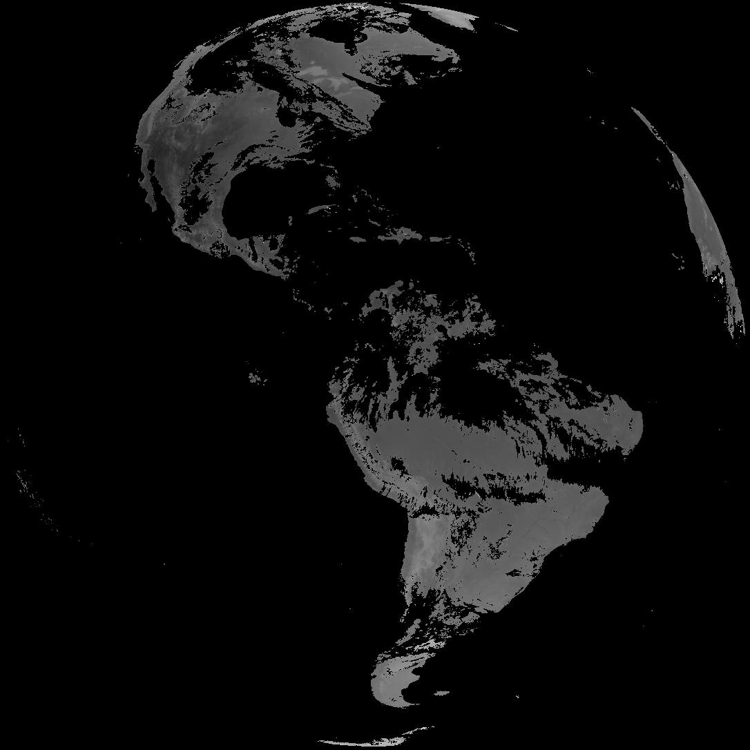
| abi_rgb_Land_Surface_Temperature.png | 162461 | 2026-May-28 22:20 |
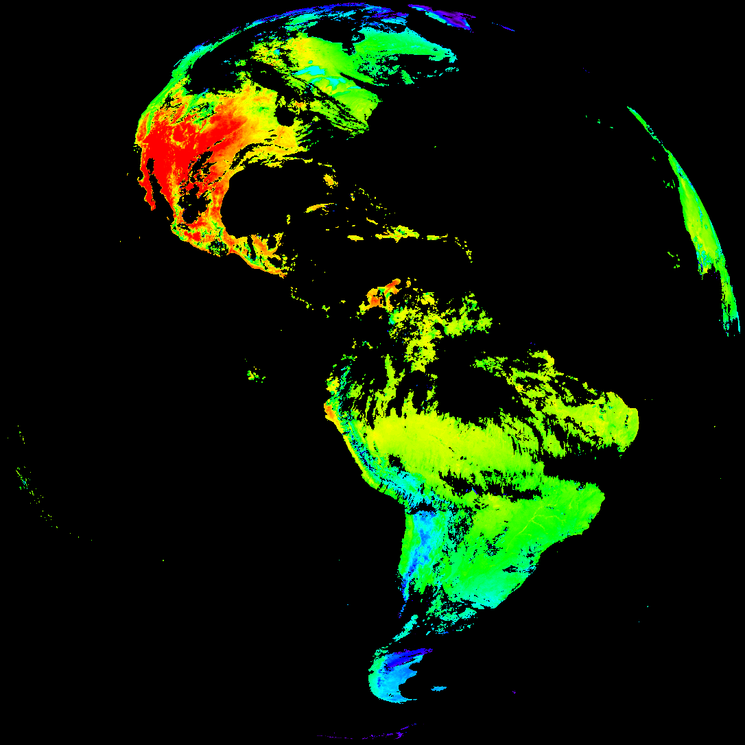
| G19_LST_20260531T220020Z.png | 125725 | 2026-May-28 22:20 |
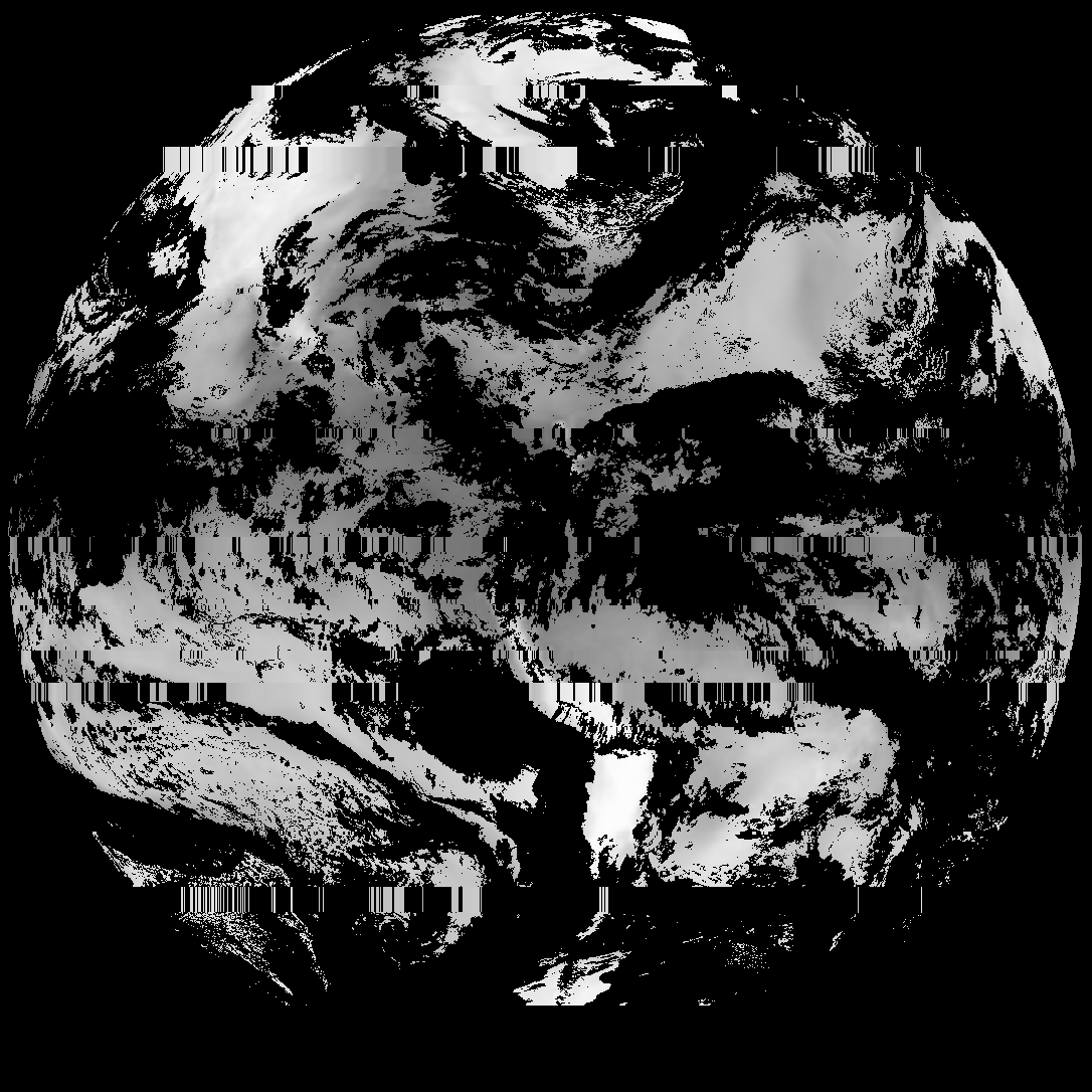
| abi_rgb_Cloud_top_Temperature_(ACHT)_map.png | 10774263 | 2026-May-28 22:14 |
| abi_rgb_Cloud_top_Temperature_(ACHT).png | 10656069 | 2026-May-28 22:14 |
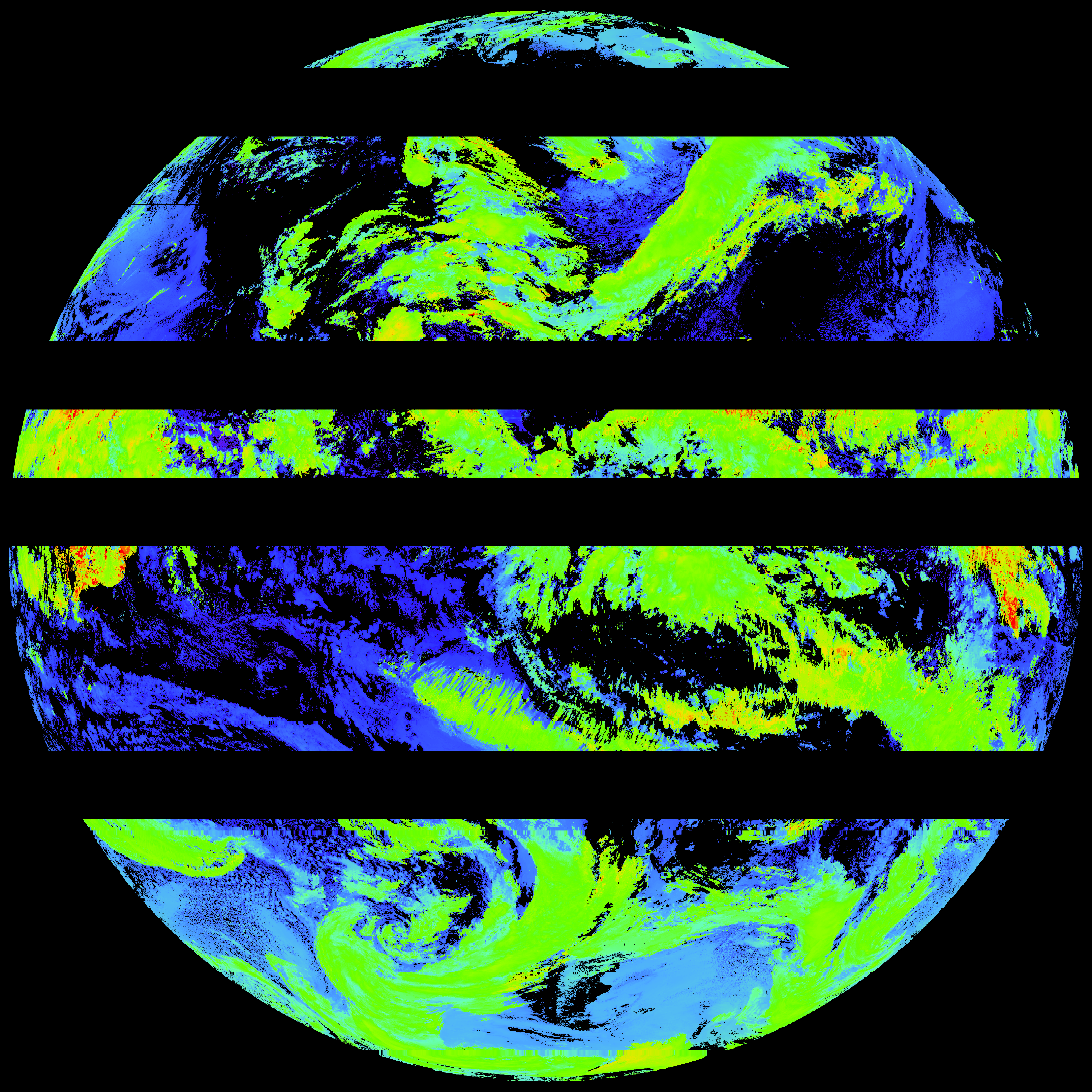
| G19_ACHT_20260531T220020Z.png | 7908600 | 2026-May-28 22:14 |
| abi_rgb_Total_Precipitable_Water.png | 265949 | 2026-May-28 21:39 |
| abi_rgb_Total_Precipitable_Water_map.png | 278394 | 2026-May-28 21:39 |
| G19_TPW_20260531T220020Z.png | 201876 | 2026-May-28 21:39 |