This directory hosts downlinked GOES products captured via SatDump. Content is organized by product family so operators and visitors can locate the feeds they need quickly.
| File Name ↓ | File Size ↓ | Date ↓ |
|---|---|---|
| Parent directory/ | - | - |
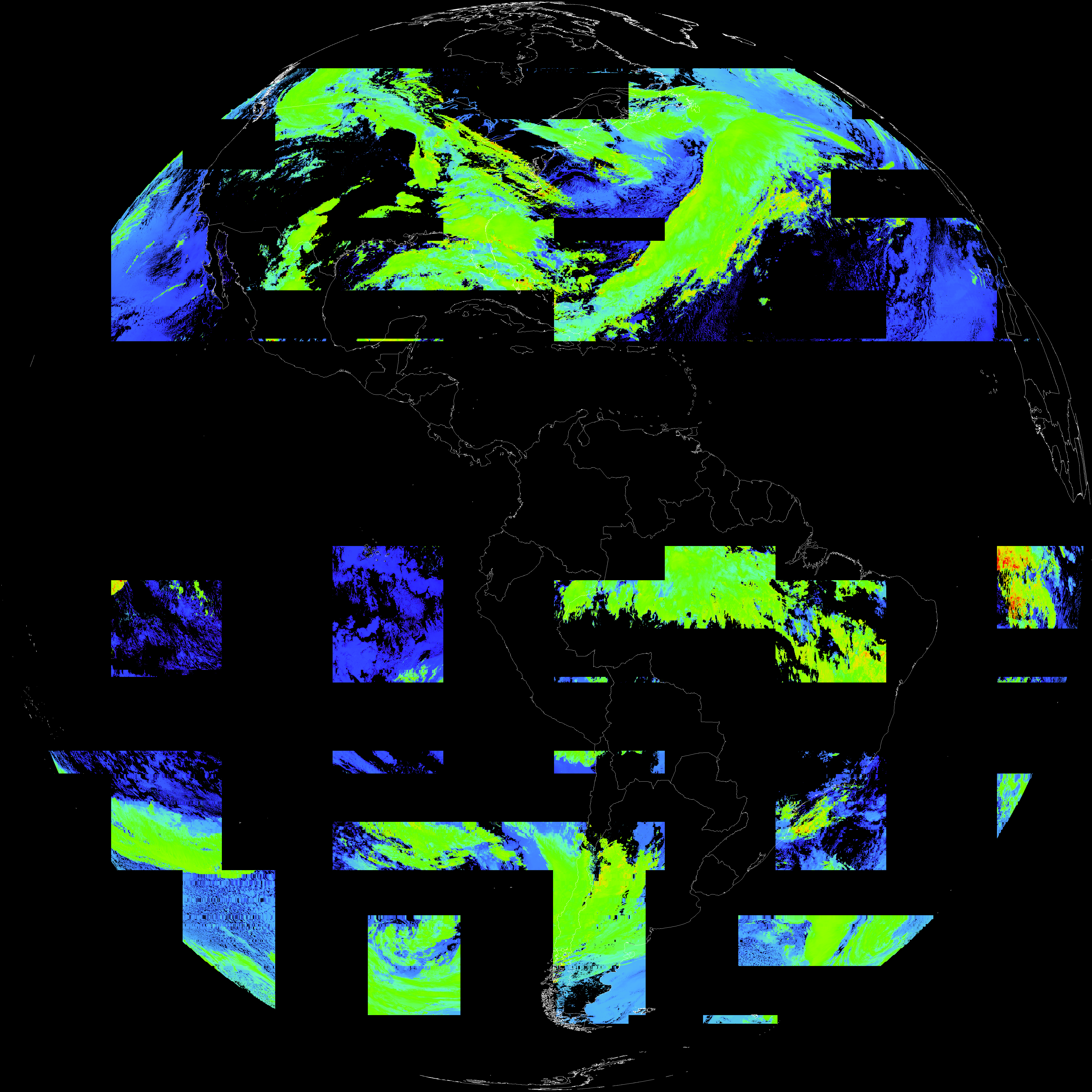
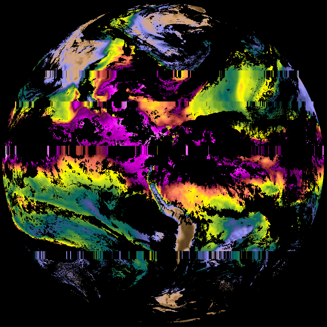
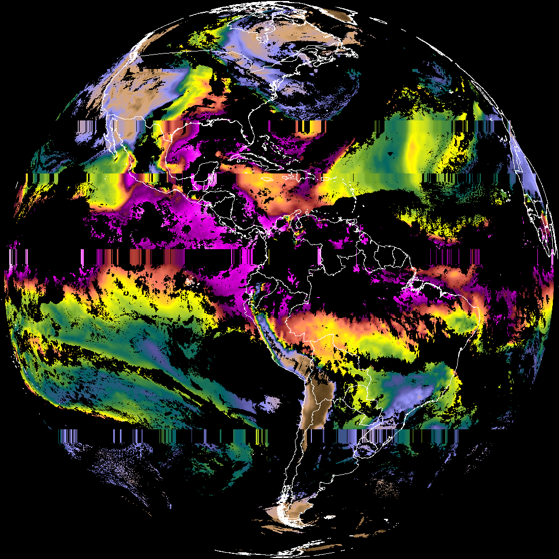
| abi_rgb_Cloud_top_Temperature_(ACHT)_map.png | 5589302 | 2026-May-29 00:37 |
| abi_rgb_Cloud_top_Temperature_(ACHT).png | 5444008 | 2026-May-29 00:37 |
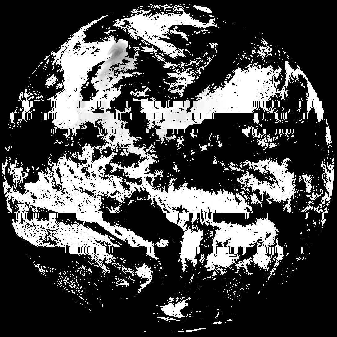
| G19_ACHT_20260601T000020Z.png | 3863002 | 2026-May-29 00:37 |
| product.cbor | 554 | 2026-May-29 00:37 |
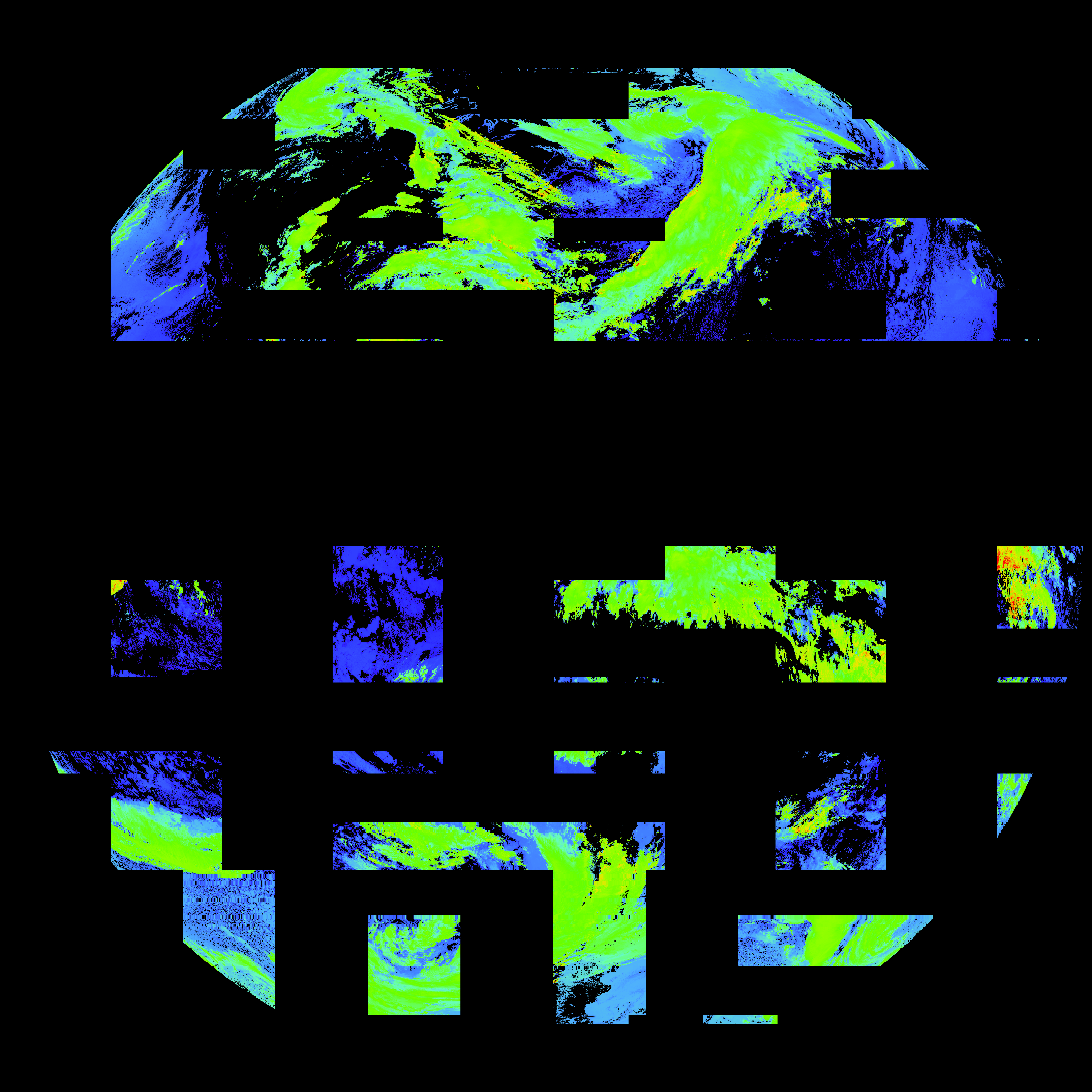
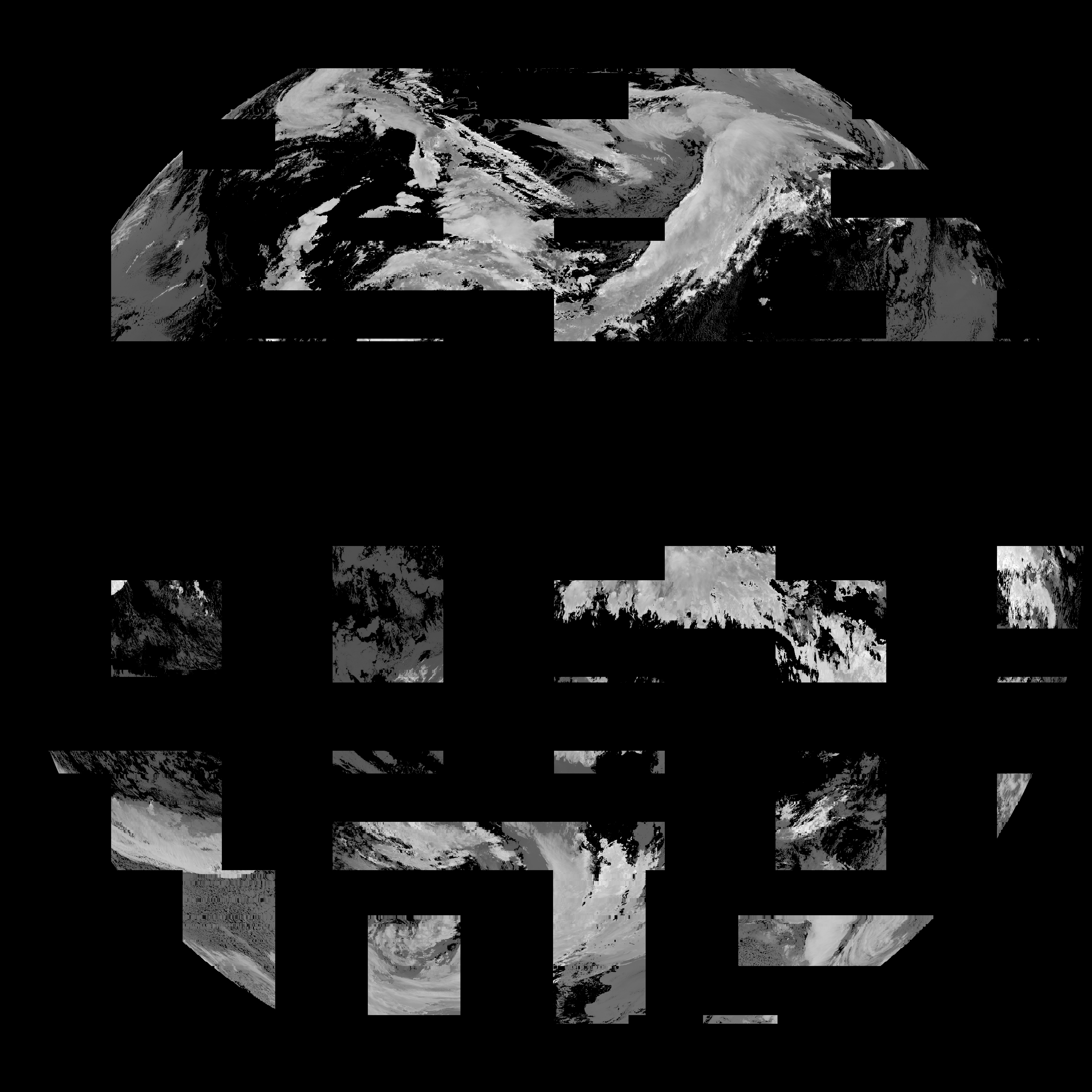
| abi_rgb_Derived_Stability_Indices_-_CAPE_map.png | 156746 | 2026-May-28 23:41 |
| abi_rgb_Derived_Stability_Indices_-_CAPE.png | 140781 | 2026-May-28 23:41 |
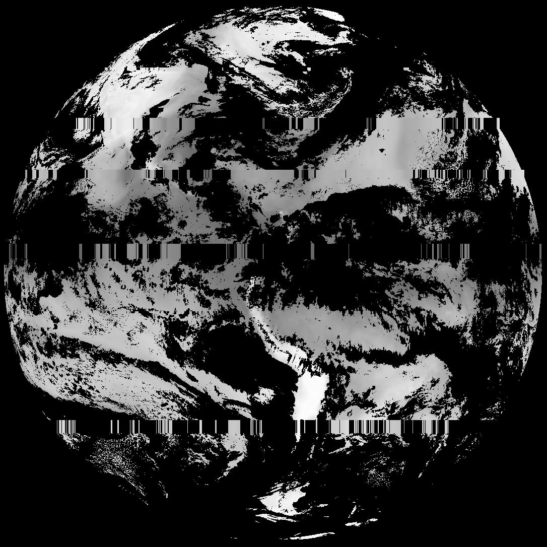
| G19_DSI_20260601T000020Z.png | 100350 | 2026-May-28 23:41 |
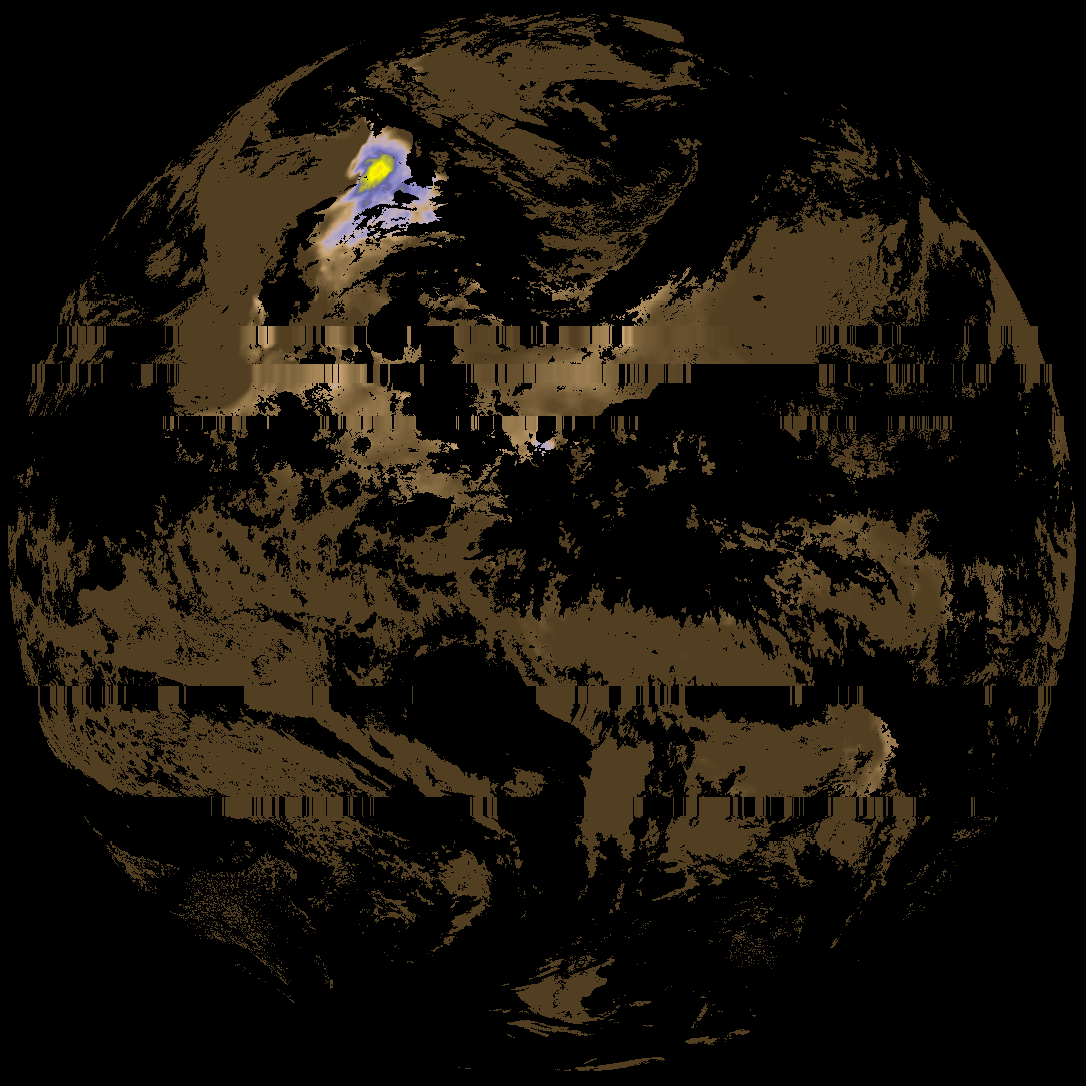
| abi_rgb_Total_Precipitable_Water.png | 278741 | 2026-May-28 23:37 |
| abi_rgb_Total_Precipitable_Water_map.png | 291813 | 2026-May-28 23:37 |
| G19_TPW_20260601T000020Z.png | 211020 | 2026-May-28 23:37 |