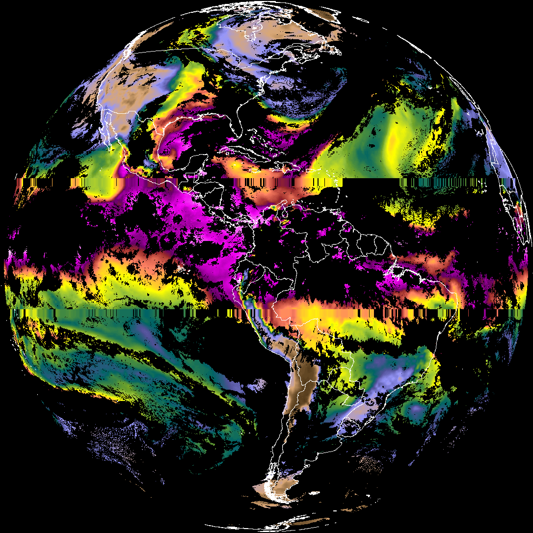
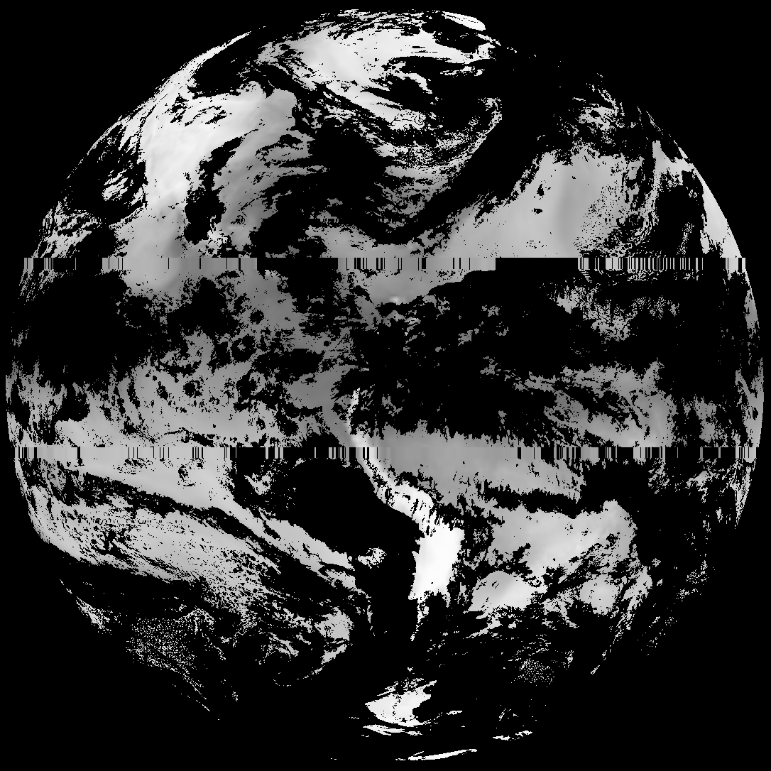
This directory hosts downlinked GOES products captured via SatDump. Content is organized by product family so operators and visitors can locate the feeds they need quickly.
| File Name ↓ | File Size ↓ | Date ↓ |
|---|---|---|
| Parent directory/ | - | - |
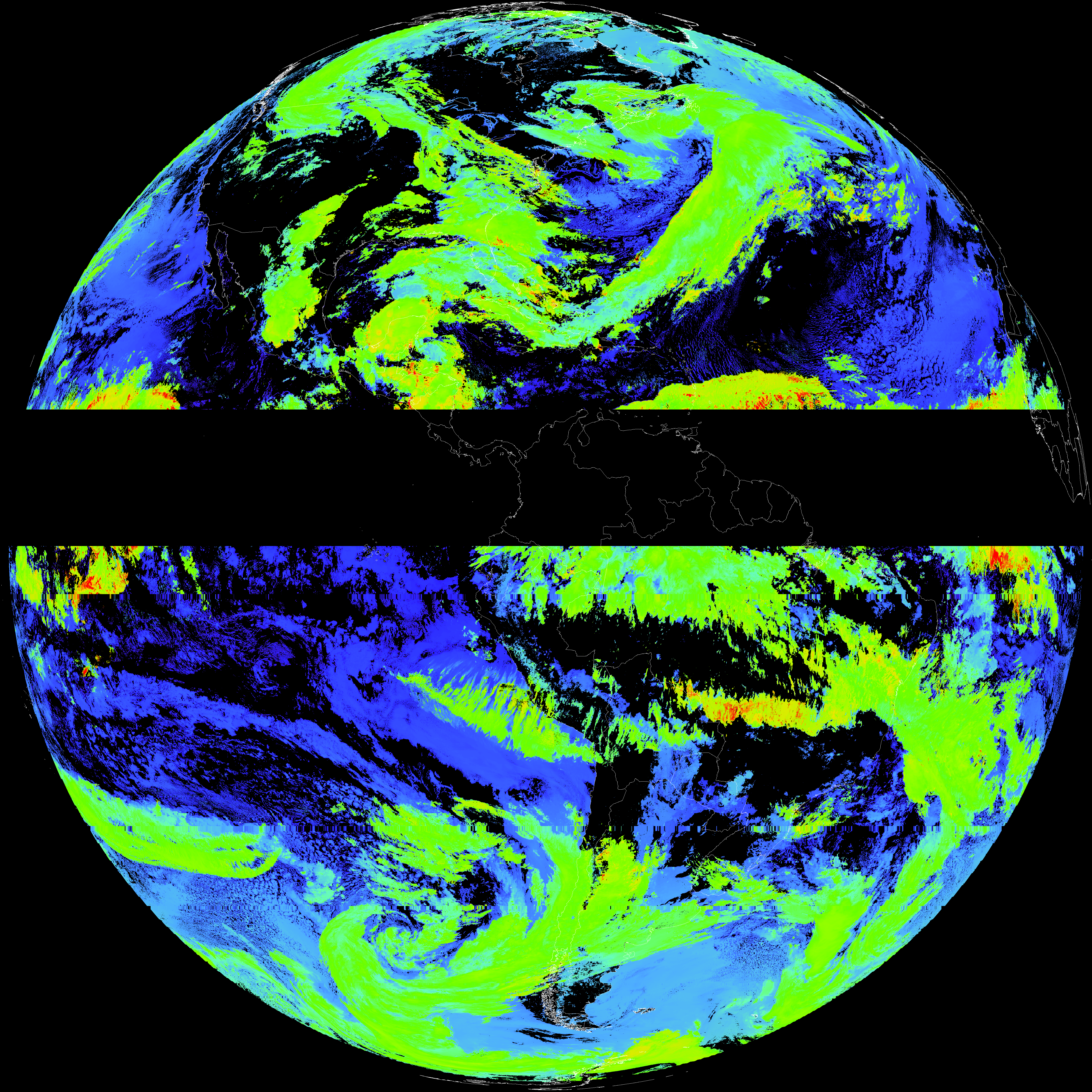
| abi_rgb_Cloud_top_Temperature_(ACHT)_map.png | 12285254 | 2026-May-29 01:36 |
| abi_rgb_Cloud_top_Temperature_(ACHT).png | 12185666 | 2026-May-29 01:36 |
| G19_ACHT_20260601T010020Z.png | 9006698 | 2026-May-29 01:36 |
| product.cbor | 554 | 2026-May-29 01:36 |
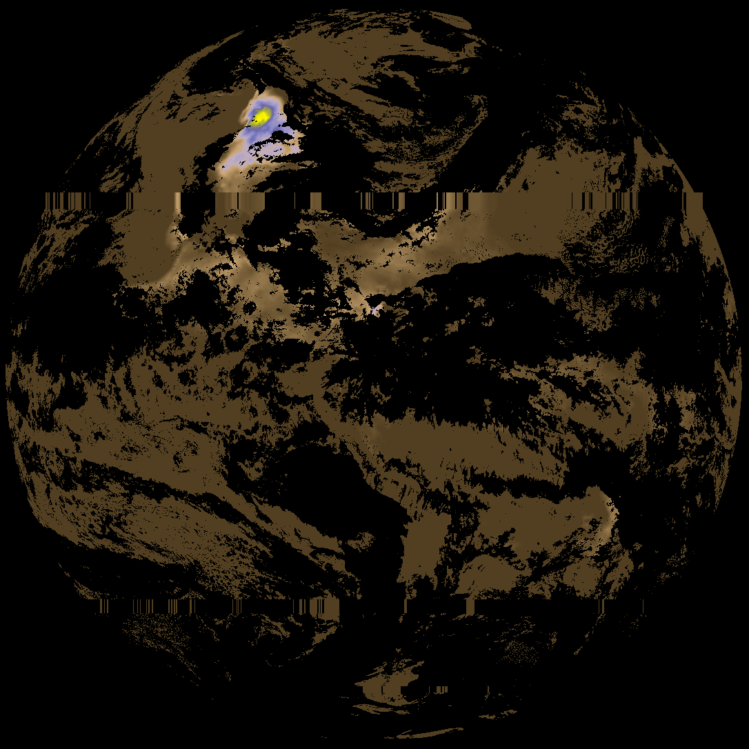
| abi_rgb_Derived_Stability_Indices_-_CAPE_map.png | 158462 | 2026-May-29 00:42 |
| abi_rgb_Derived_Stability_Indices_-_CAPE.png | 142513 | 2026-May-29 00:42 |
| G19_DSI_20260601T010020Z.png | 104879 | 2026-May-29 00:42 |
| abi_rgb_Total_Precipitable_Water.png | 279253 | 2026-May-29 00:36 |
| abi_rgb_Total_Precipitable_Water_map.png | 291465 | 2026-May-29 00:36 |
| G19_TPW_20260601T010020Z.png | 212641 | 2026-May-29 00:36 |