This directory hosts downlinked GOES products captured via SatDump. Content is organized by product family so operators and visitors can locate the feeds they need quickly.
| File Name ↓ | File Size ↓ | Date ↓ |
|---|---|---|
| Parent directory/ | - | - |
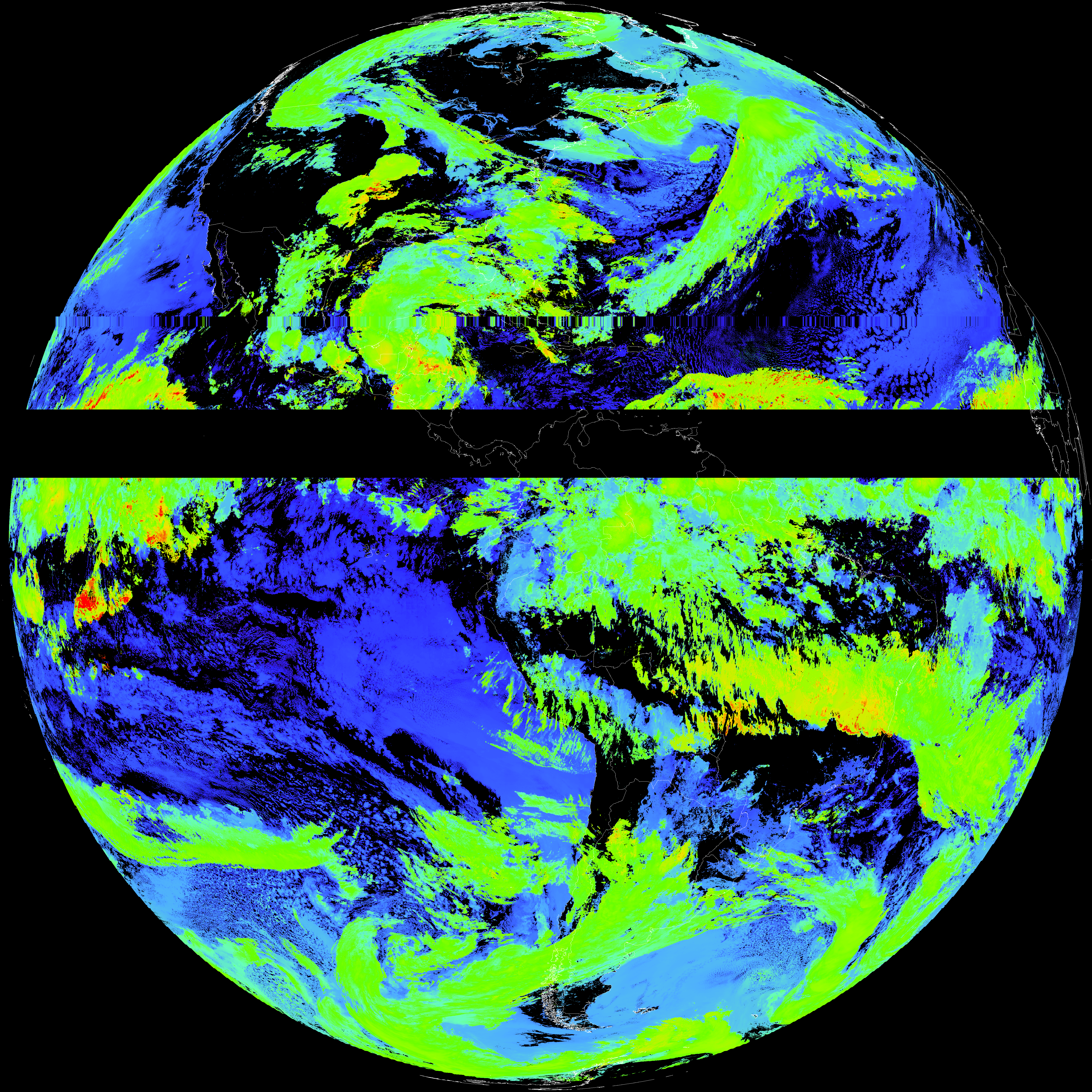
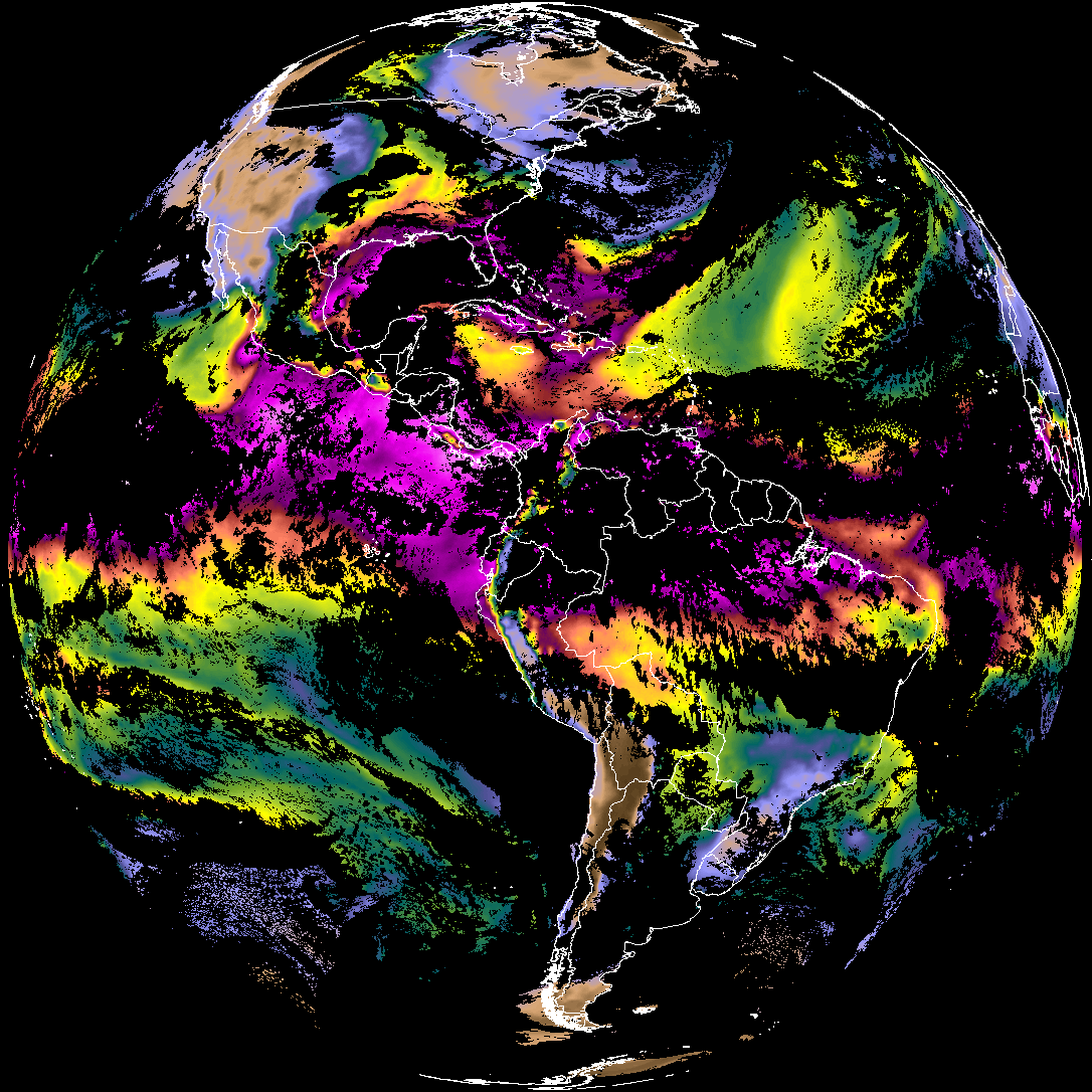
| abi_rgb_Cloud_top_Temperature_(ACHT)_map.png | 15131564 | 2026-May-29 07:36 |
| abi_rgb_Cloud_top_Temperature_(ACHT).png | 15045989 | 2026-May-29 07:36 |
| G19_ACHT_20260601T070021Z.png | 11228490 | 2026-May-29 07:36 |
| product.cbor | 554 | 2026-May-29 07:36 |
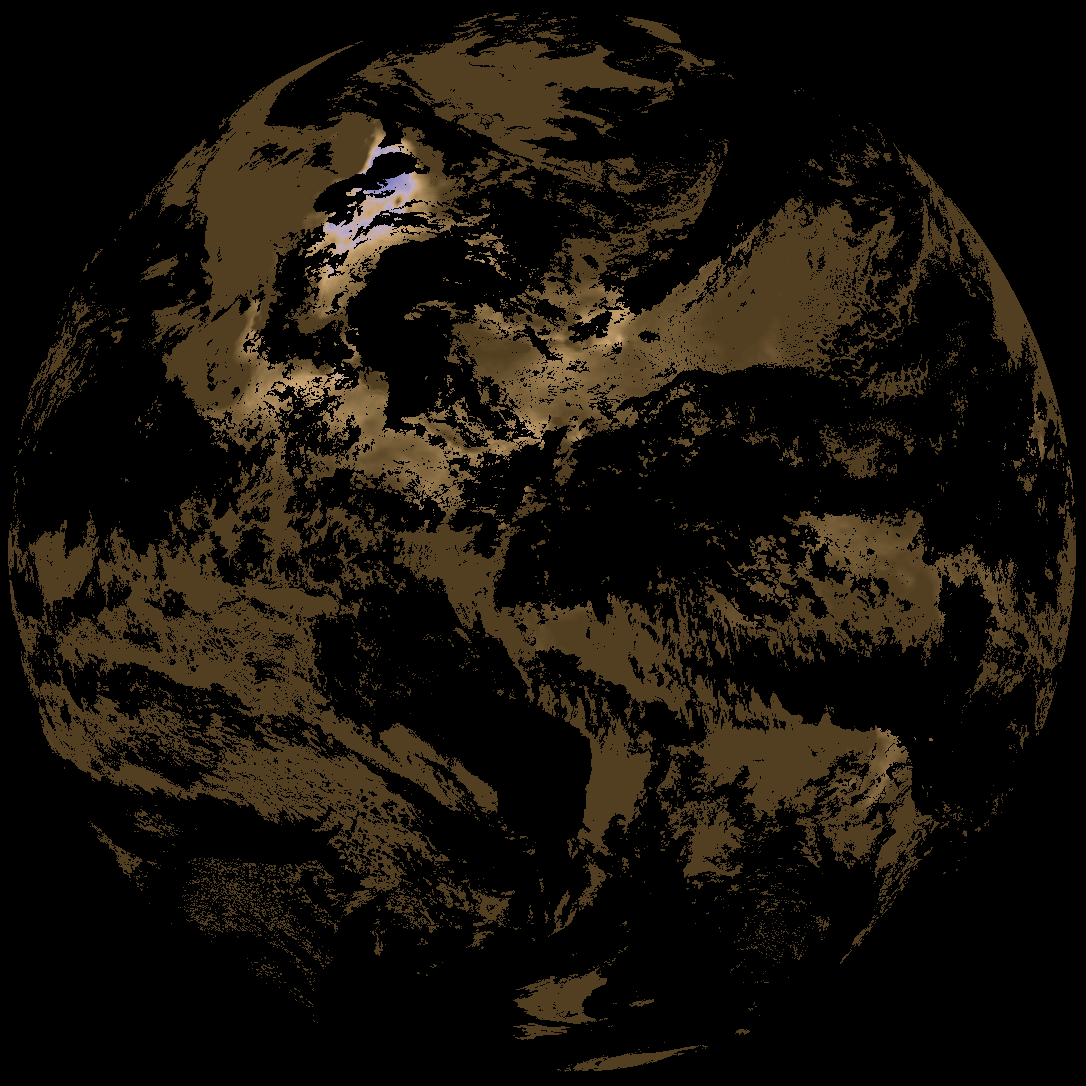
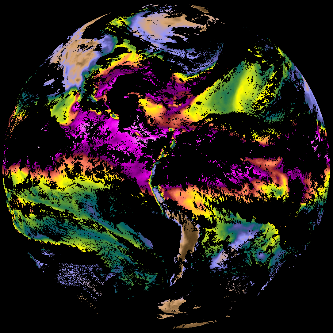
| abi_rgb_Derived_Stability_Indices_-_CAPE_map.png | 165283 | 2026-May-29 06:41 |
| abi_rgb_Derived_Stability_Indices_-_CAPE.png | 150099 | 2026-May-29 06:41 |
| G19_DSI_20260601T070021Z.png | 112693 | 2026-May-29 06:41 |
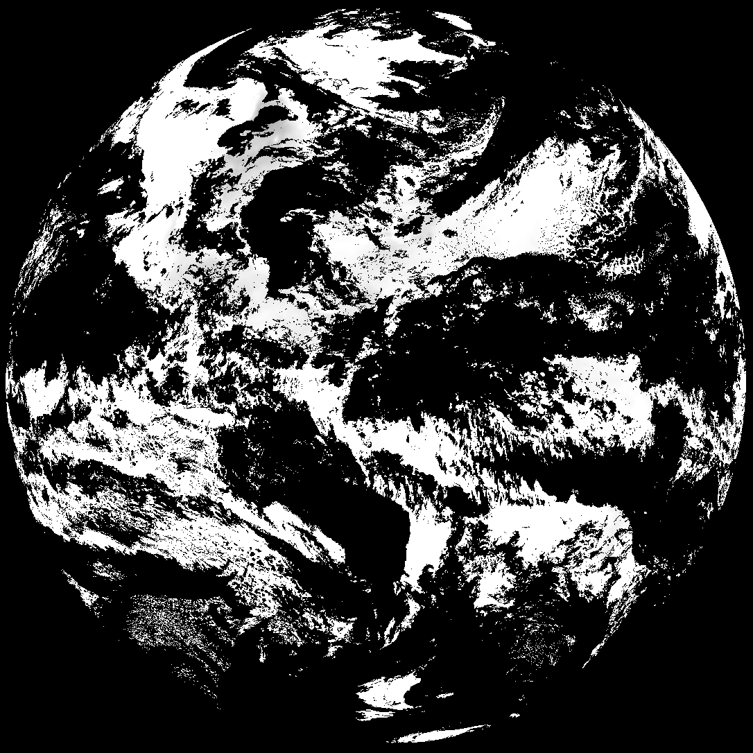
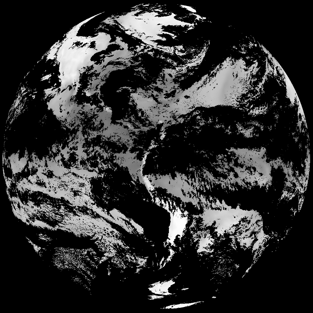
| abi_rgb_Total_Precipitable_Water_map.png | 301254 | 2026-May-29 06:36 |
| abi_rgb_Total_Precipitable_Water.png | 289842 | 2026-May-29 06:36 |
| G19_TPW_20260601T070021Z.png | 219719 | 2026-May-29 06:36 |