This directory hosts downlinked GOES products captured via SatDump. Content is organized by product family so operators and visitors can locate the feeds they need quickly.
| File Name ↓ | File Size ↓ | Date ↓ |
|---|---|---|
| Parent directory/ | - | - |
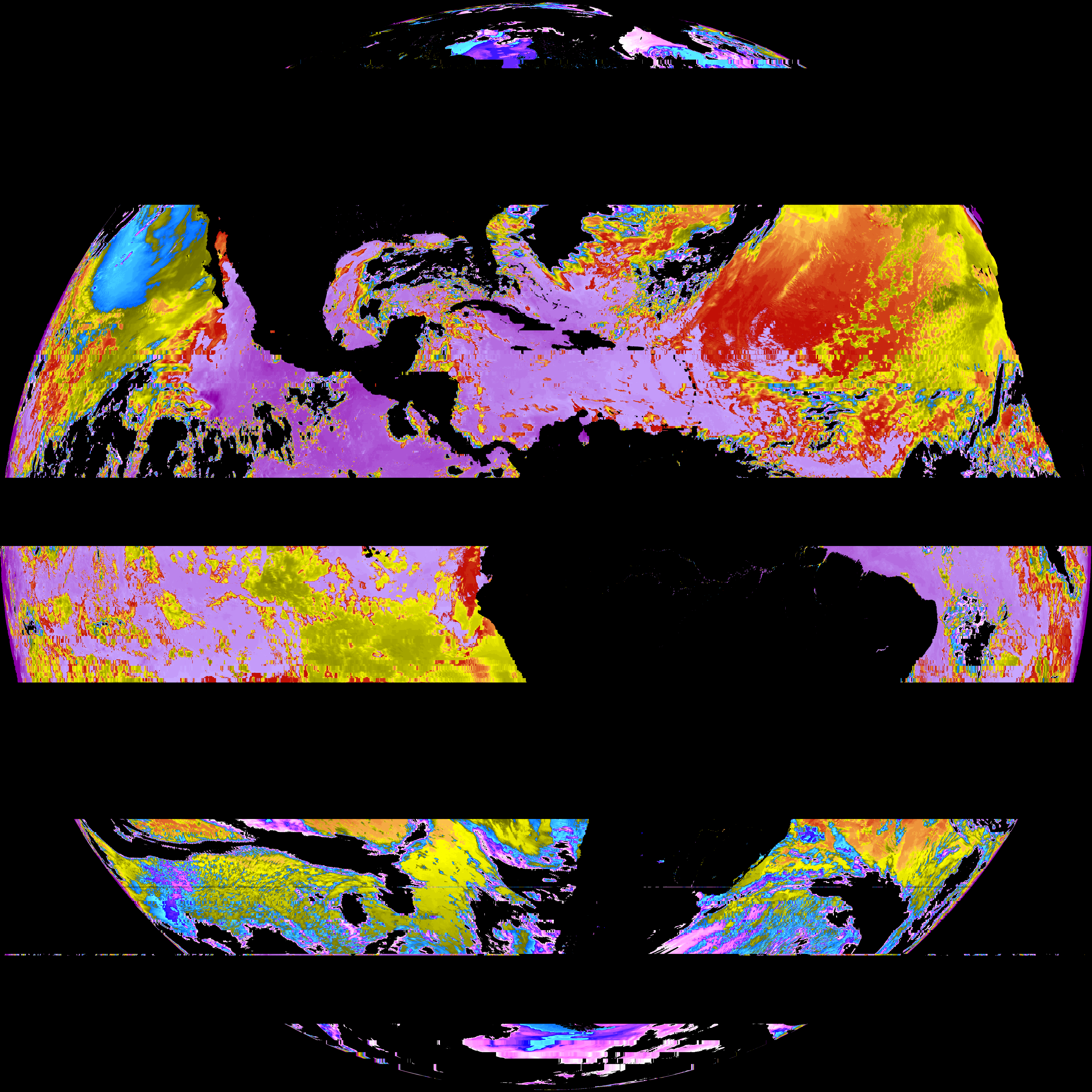
| abi_rgb_Sea_Surface_Temperature_map.png | 4040942 | 2026-May-29 14:42 |
| abi_rgb_Sea_Surface_Temperature.png | 3908793 | 2026-May-29 14:42 |
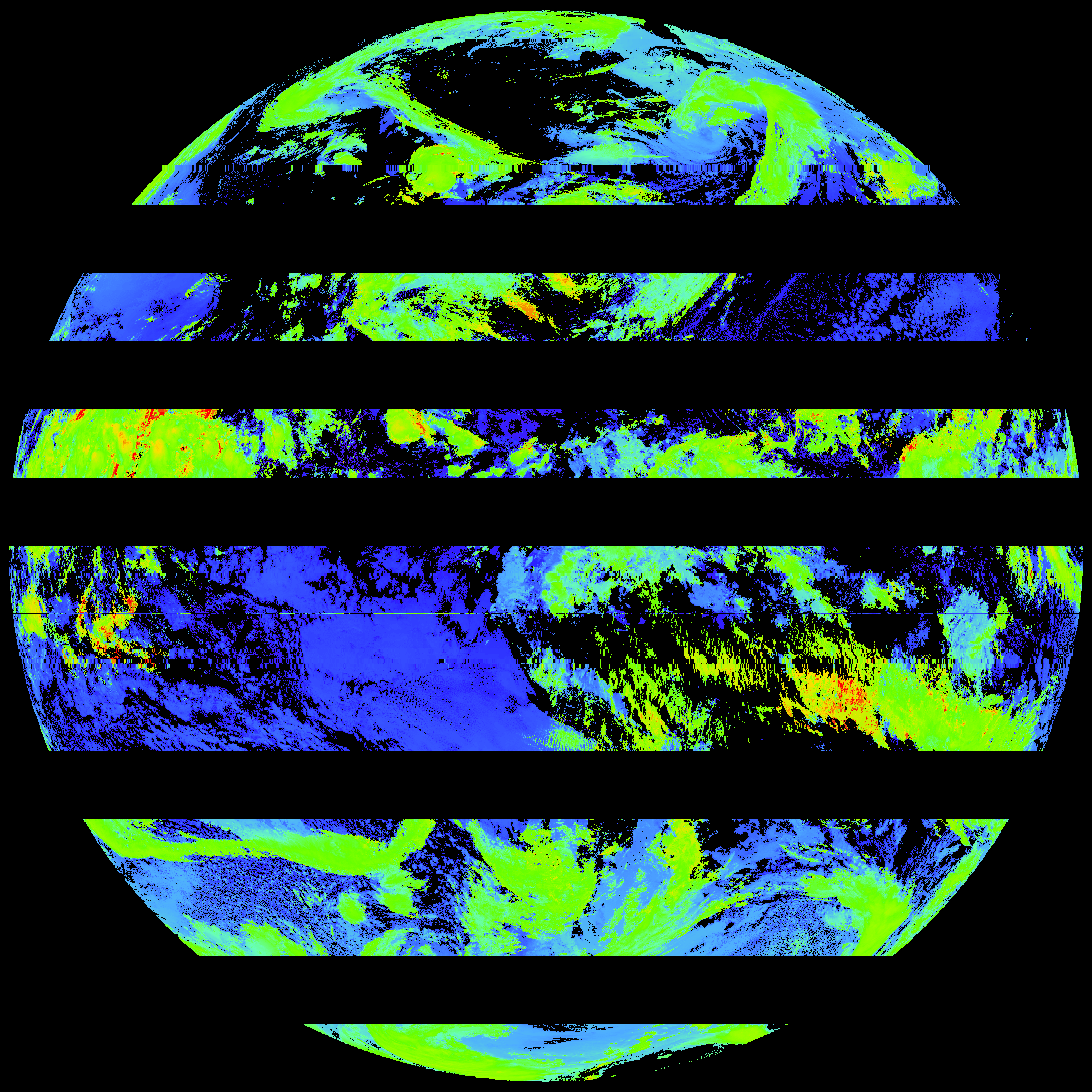
| G19_SST_20260601T140021Z.png | 3897246 | 2026-May-29 14:42 |
| product.cbor | 621 | 2026-May-29 14:42 |
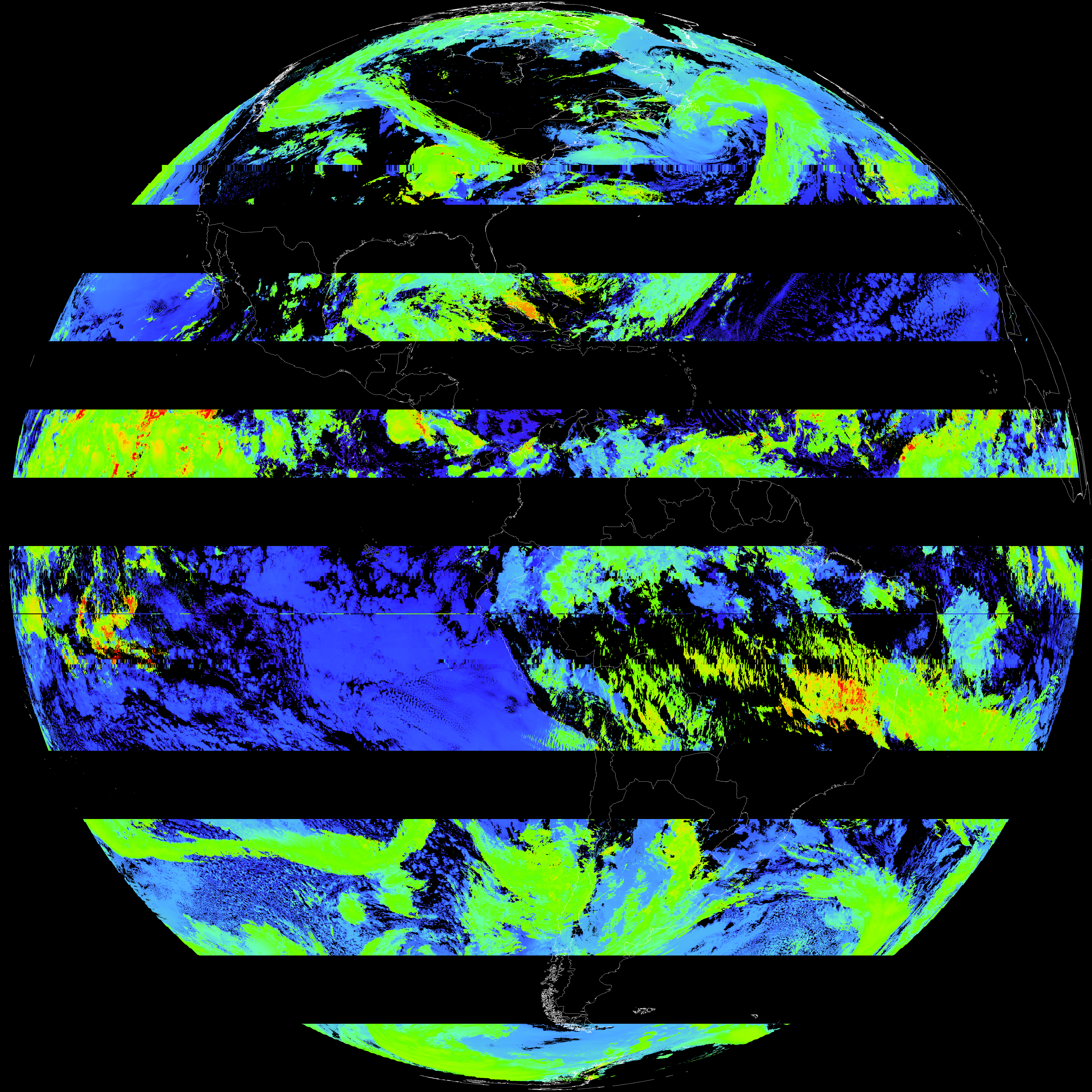
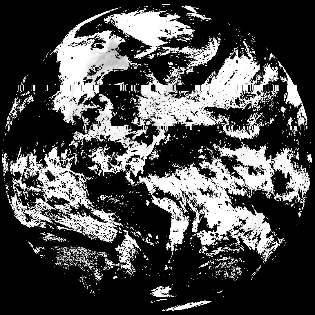
| abi_rgb_Land_Surface_Temperature_map.png | 110108 | 2026-May-29 14:20 |
| G19_LST_20260601T140021Z.png | 75326 | 2026-May-29 14:20 |
| abi_rgb_Land_Surface_Temperature.png | 99021 | 2026-May-29 14:20 |
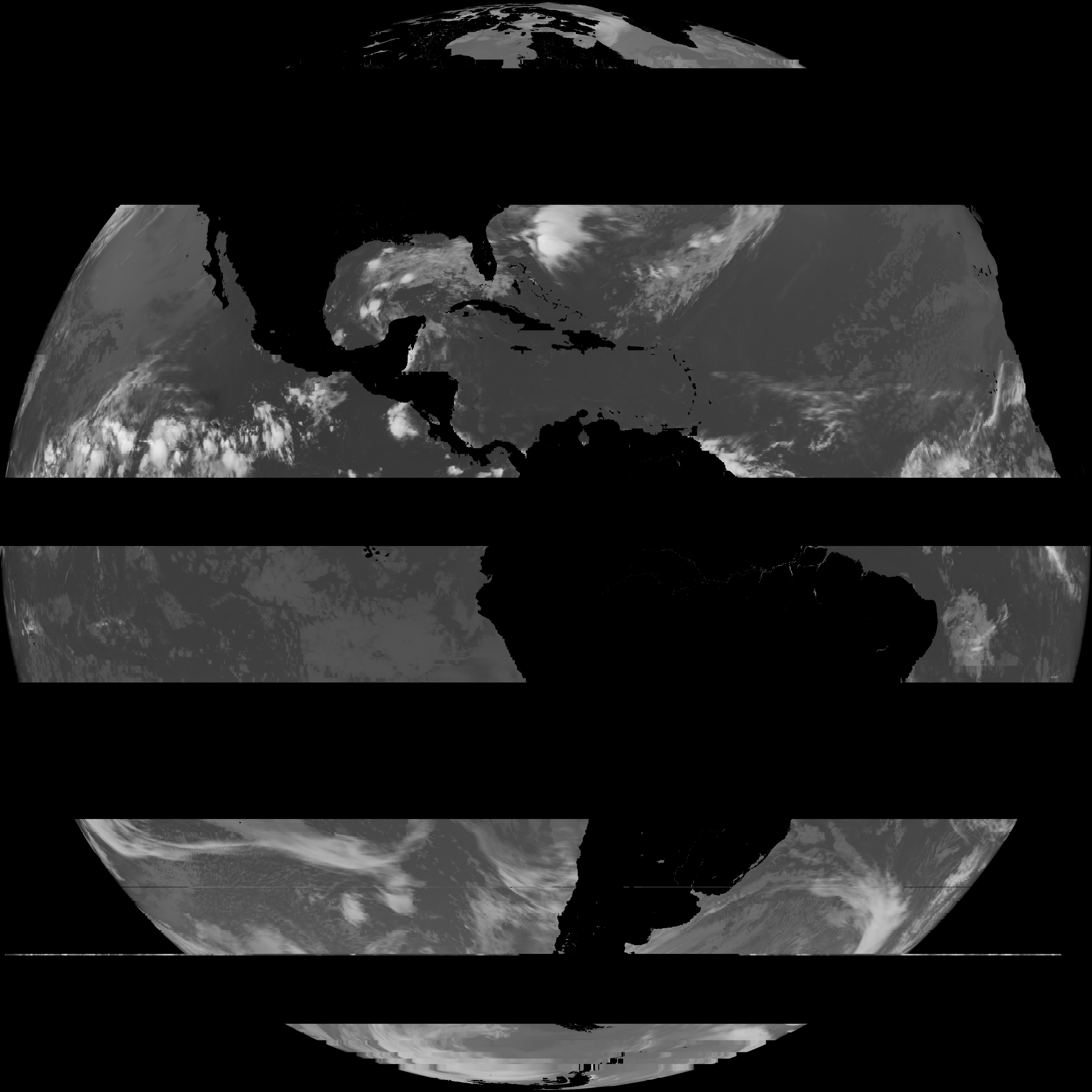
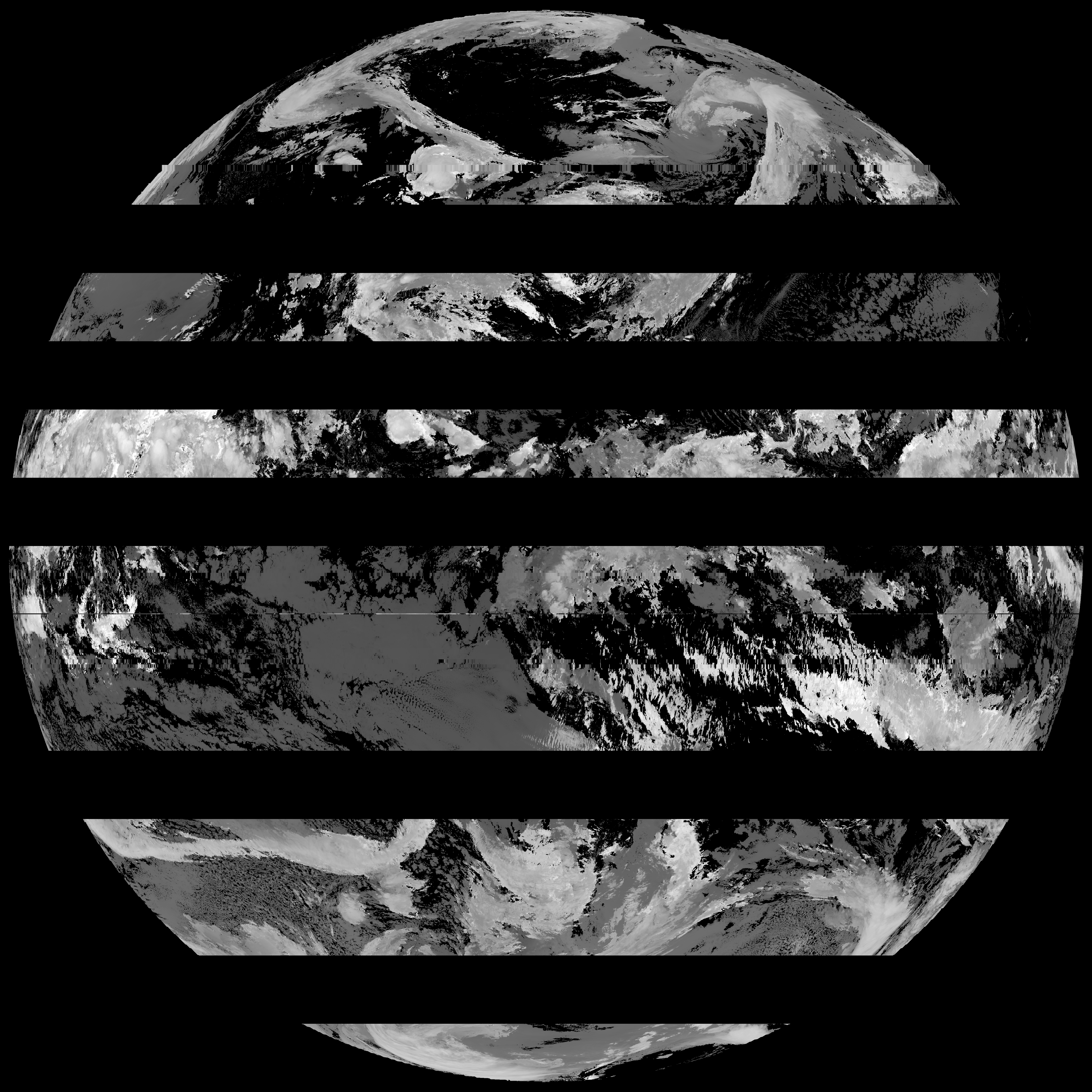
| abi_rgb_Cloud_top_Temperature_(ACHT)_map.png | 9579542 | 2026-May-29 14:14 |
| abi_rgb_Cloud_top_Temperature_(ACHT).png | 9462564 | 2026-May-29 14:14 |
| G19_ACHT_20260601T140021Z.png | 6968780 | 2026-May-29 14:14 |
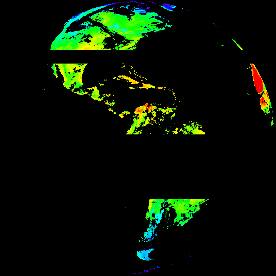
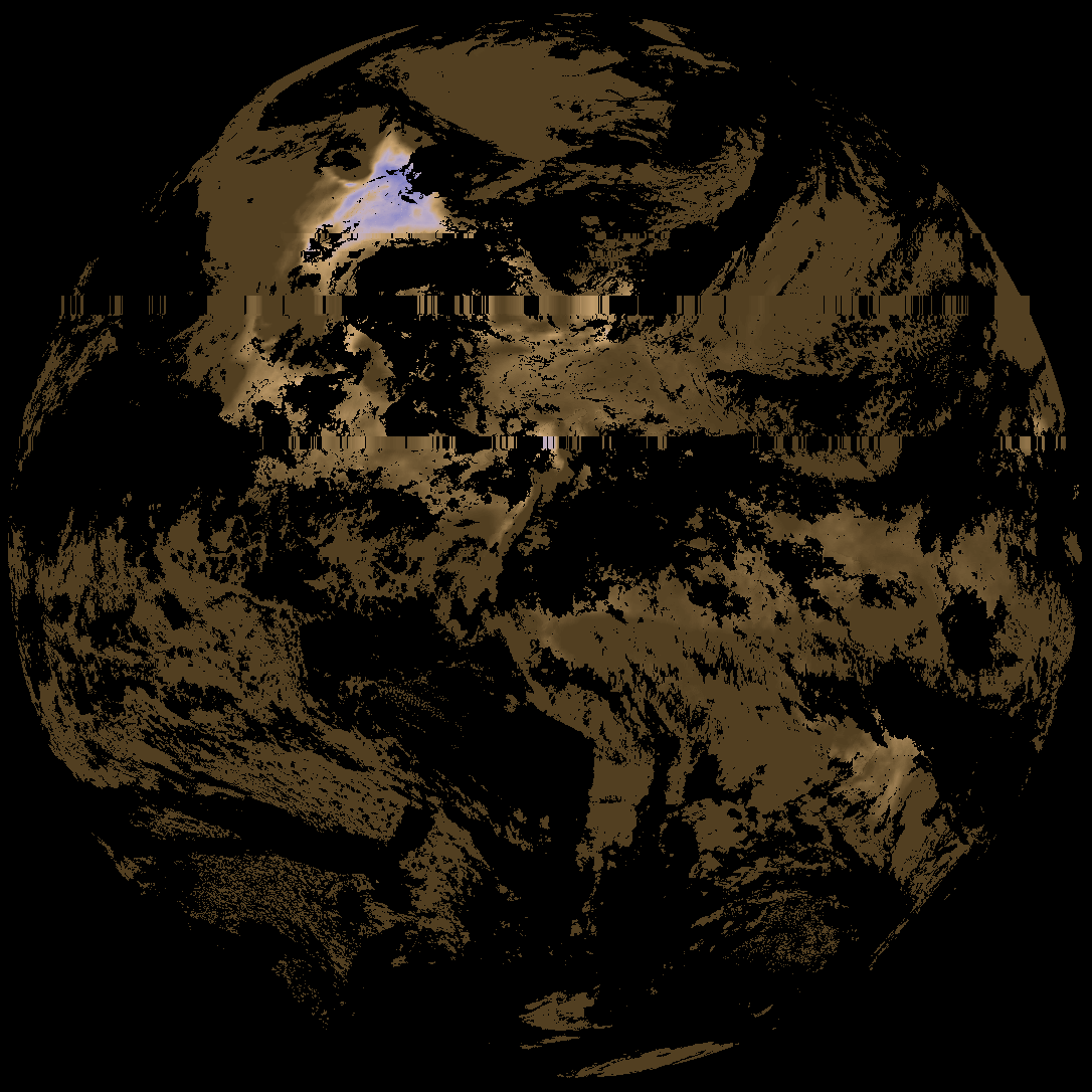
| abi_rgb_Derived_Stability_Indices_-_CAPE_map.png | 176155 | 2026-May-29 13:45 |
| abi_rgb_Derived_Stability_Indices_-_CAPE.png | 161456 | 2026-May-29 13:45 |
| G19_DSI_20260601T140021Z.png | 119765 | 2026-May-29 13:45 |