This directory hosts downlinked GOES products captured via SatDump. Content is organized by product family so operators and visitors can locate the feeds they need quickly.
| File Name ↓ | File Size ↓ | Date ↓ |
|---|---|---|
| Parent directory/ | - | - |
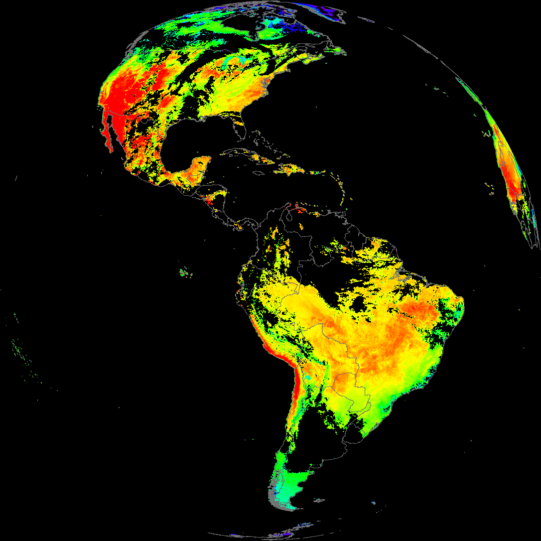
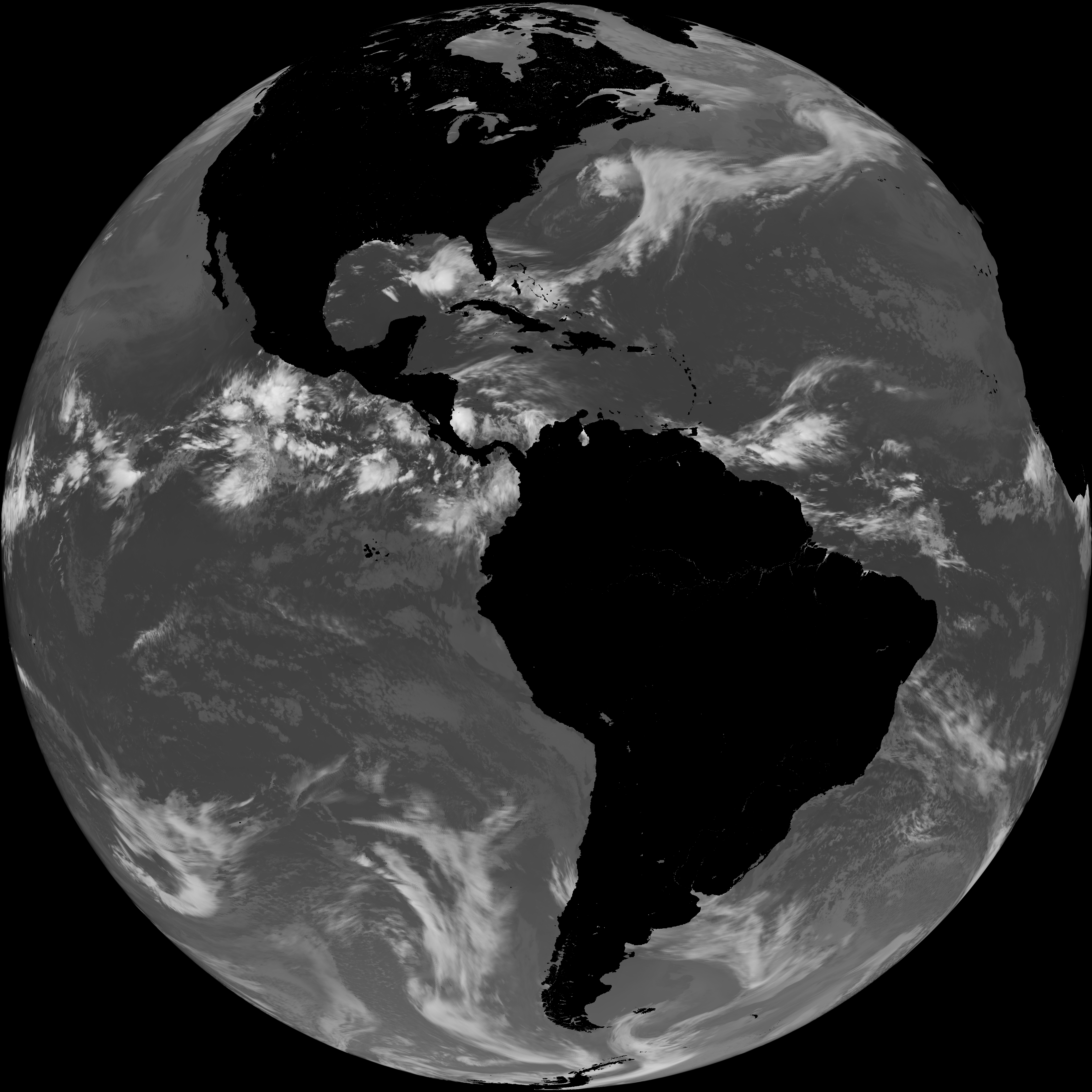
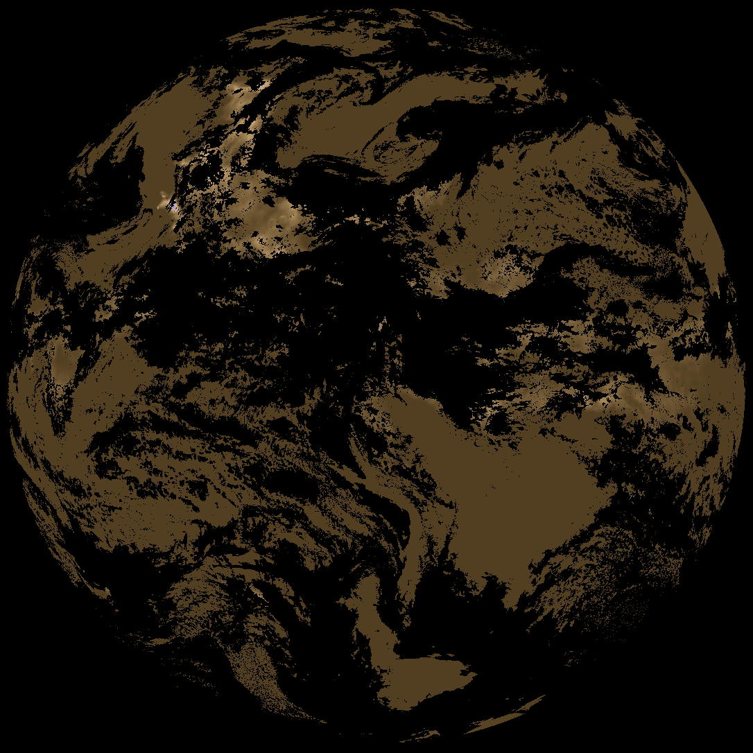
| abi_rgb_Land_Surface_Temperature_map.png | 176415 | 2026-Jun-04 19:12 |
| product.cbor | 621 | 2026-Jun-04 19:12 |
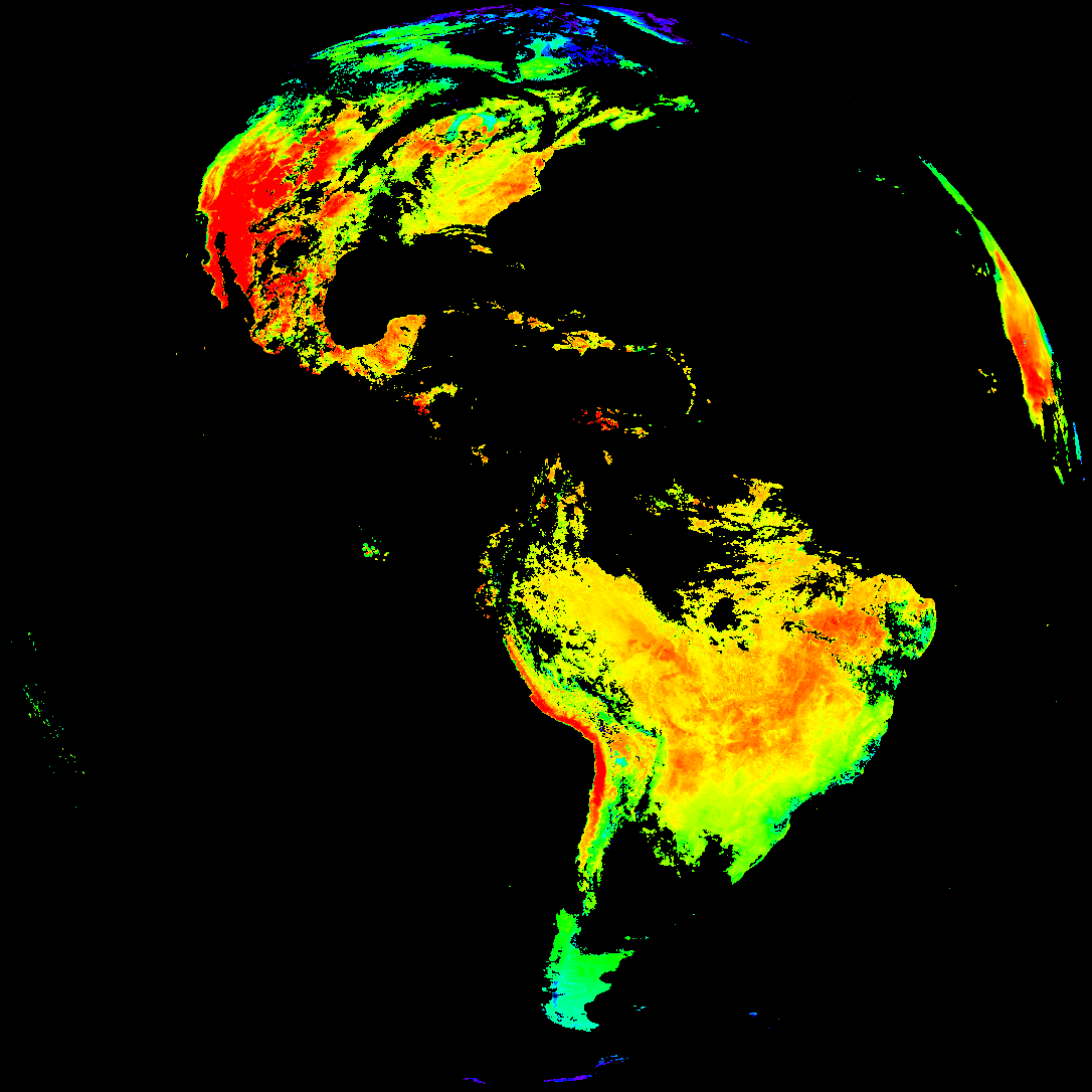
| G19_LST_20260604T180021Z.png | 128027 | 2026-Jun-04 19:12 |
| abi_rgb_Land_Surface_Temperature.png | 168844 | 2026-Jun-04 19:12 |
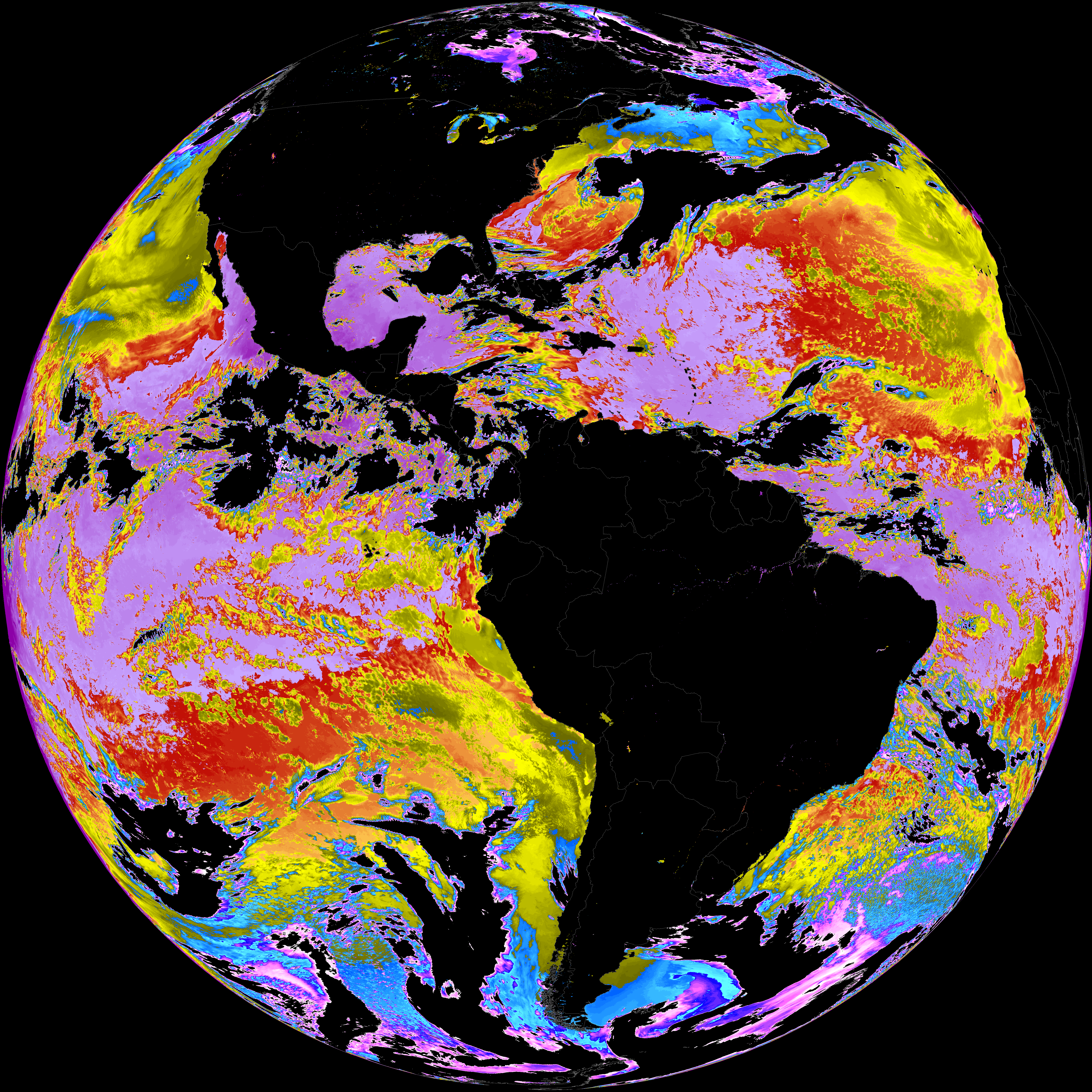
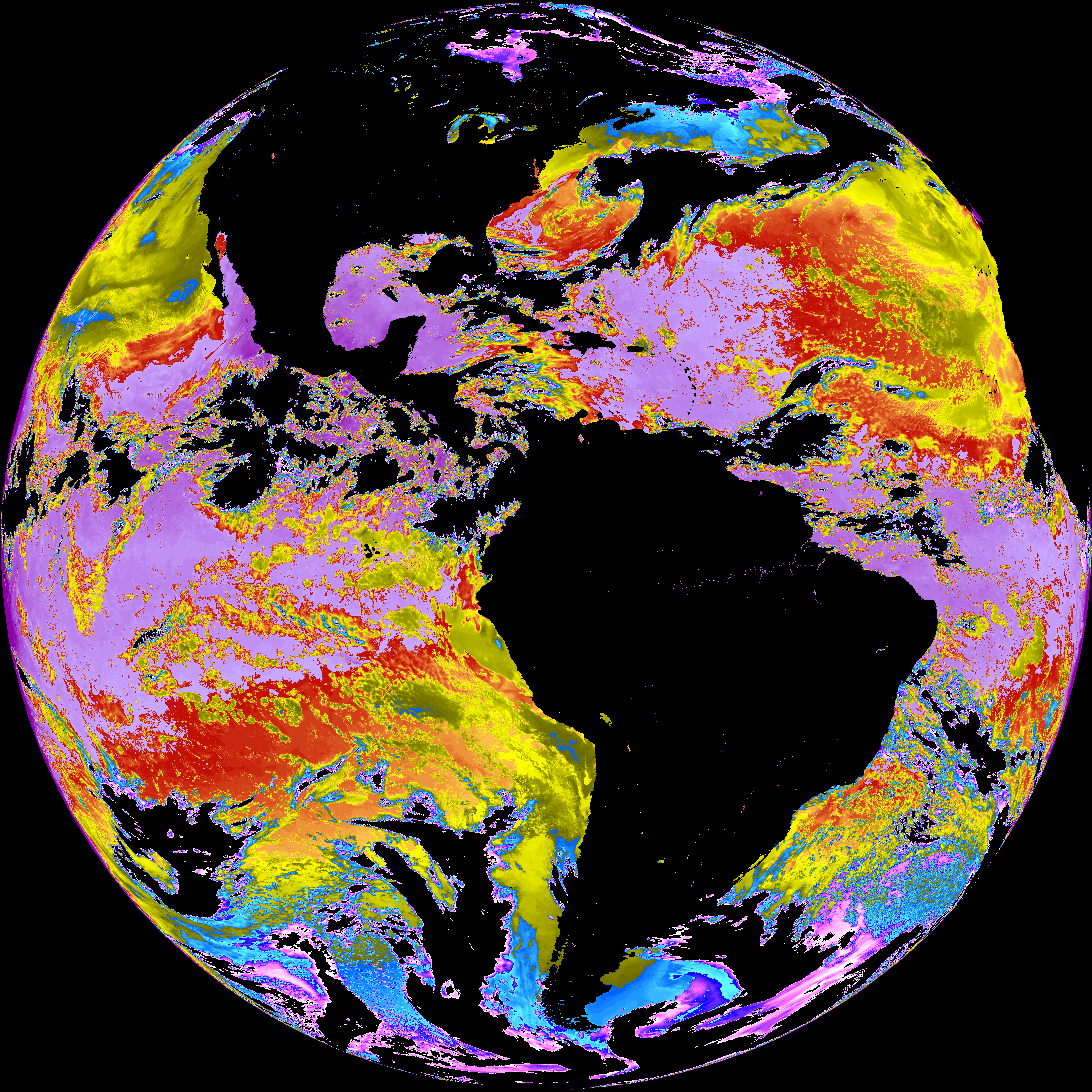
| abi_rgb_Sea_Surface_Temperature_map.png | 7882922 | 2026-Jun-04 19:10 |
| abi_rgb_Sea_Surface_Temperature.png | 7782074 | 2026-Jun-04 19:10 |
| G19_SST_20260604T180021Z.png | 8153166 | 2026-Jun-04 19:10 |
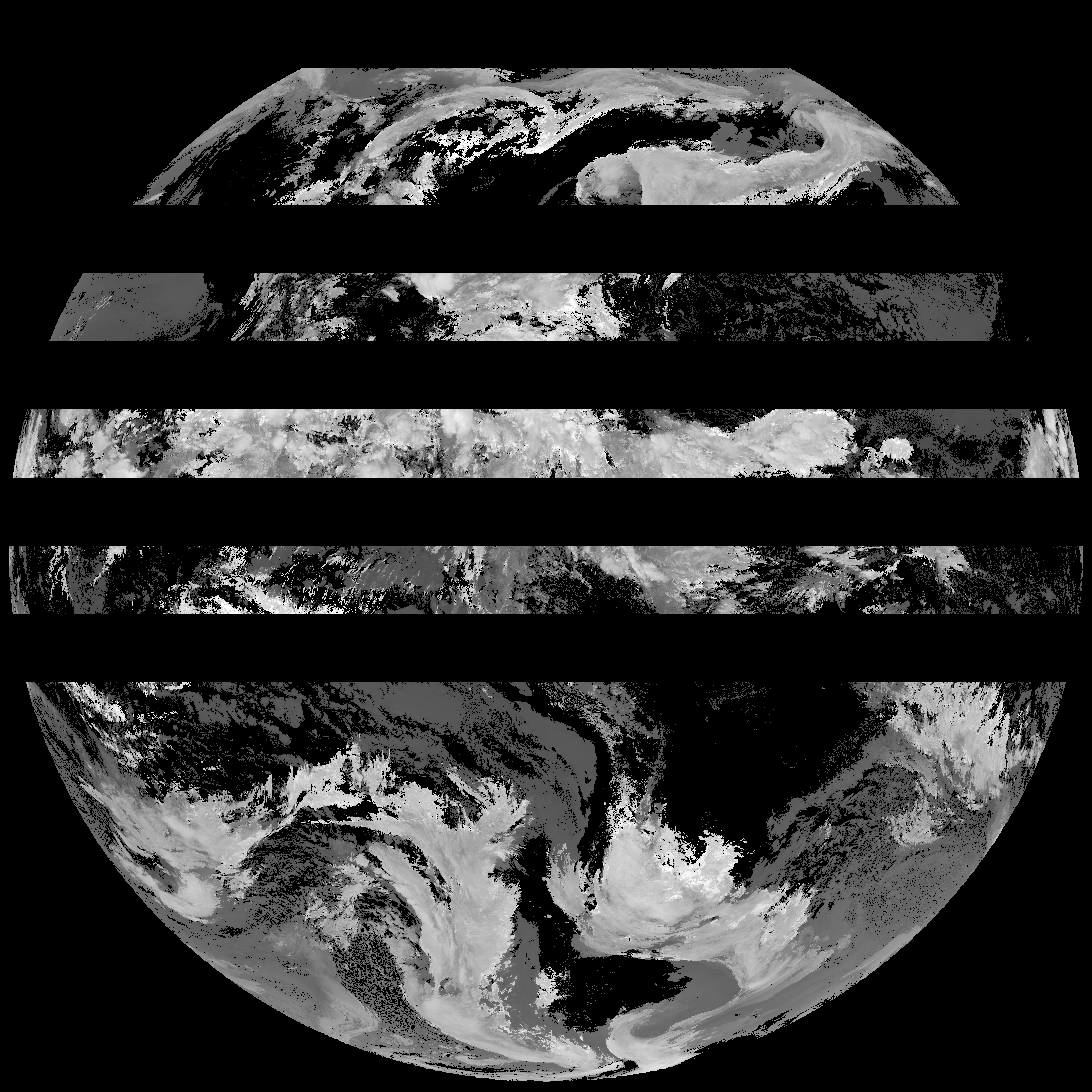
| abi_rgb_Cloud_top_Temperature_(ACHT)_map.png | 11427111 | 2026-Jun-04 19:06 |
| abi_rgb_Cloud_top_Temperature_(ACHT).png | 11321015 | 2026-Jun-04 19:06 |
| G19_ACHT_20260604T180021Z.png | 8424481 | 2026-Jun-04 19:06 |
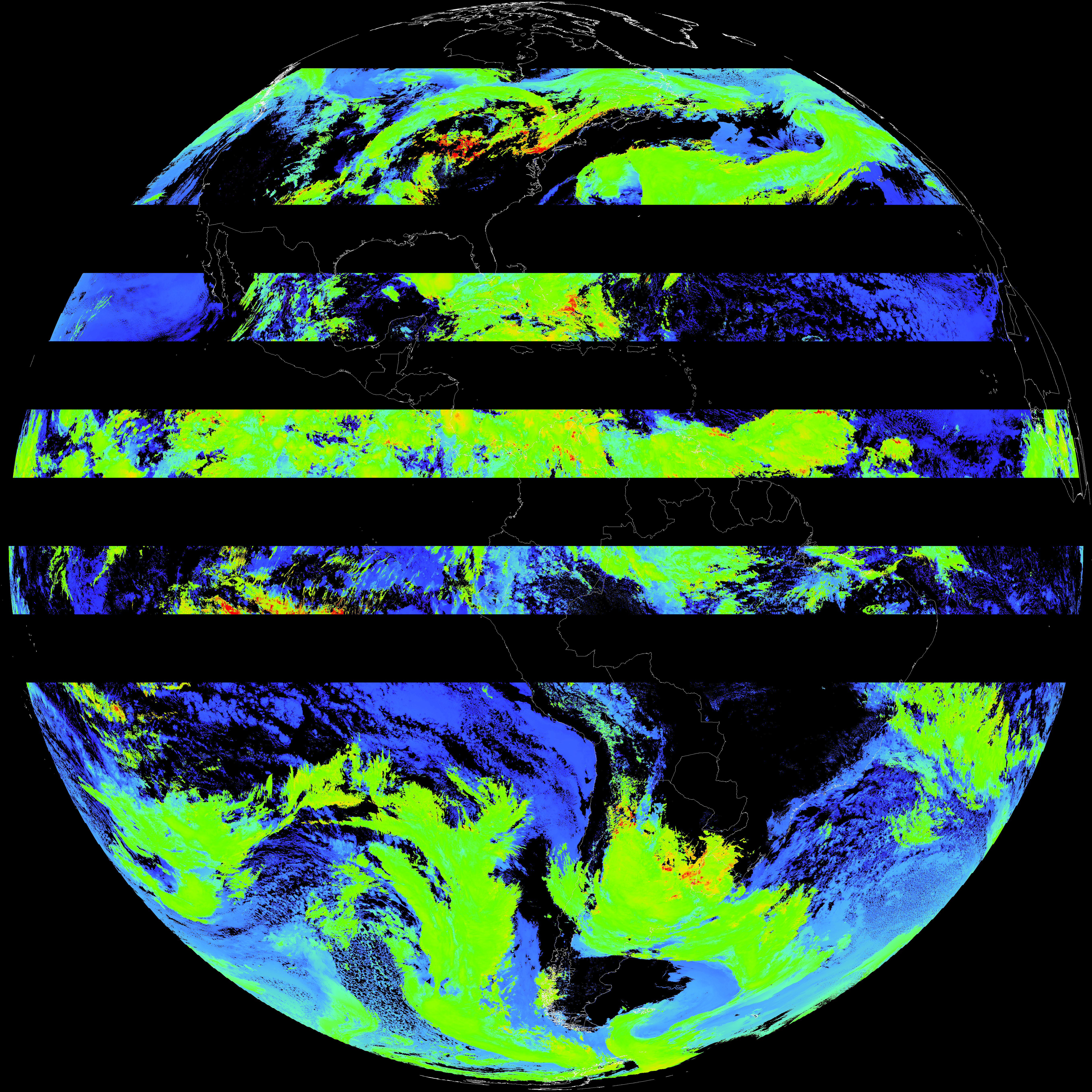
| abi_rgb_Derived_Stability_Indices_-_CAPE_map.png | 163066 | 2026-Jun-04 18:40 |
| abi_rgb_Derived_Stability_Indices_-_CAPE.png | 147036 | 2026-Jun-04 18:40 |
| G19_DSI_20260604T180021Z.png | 109505 | 2026-Jun-04 18:40 |