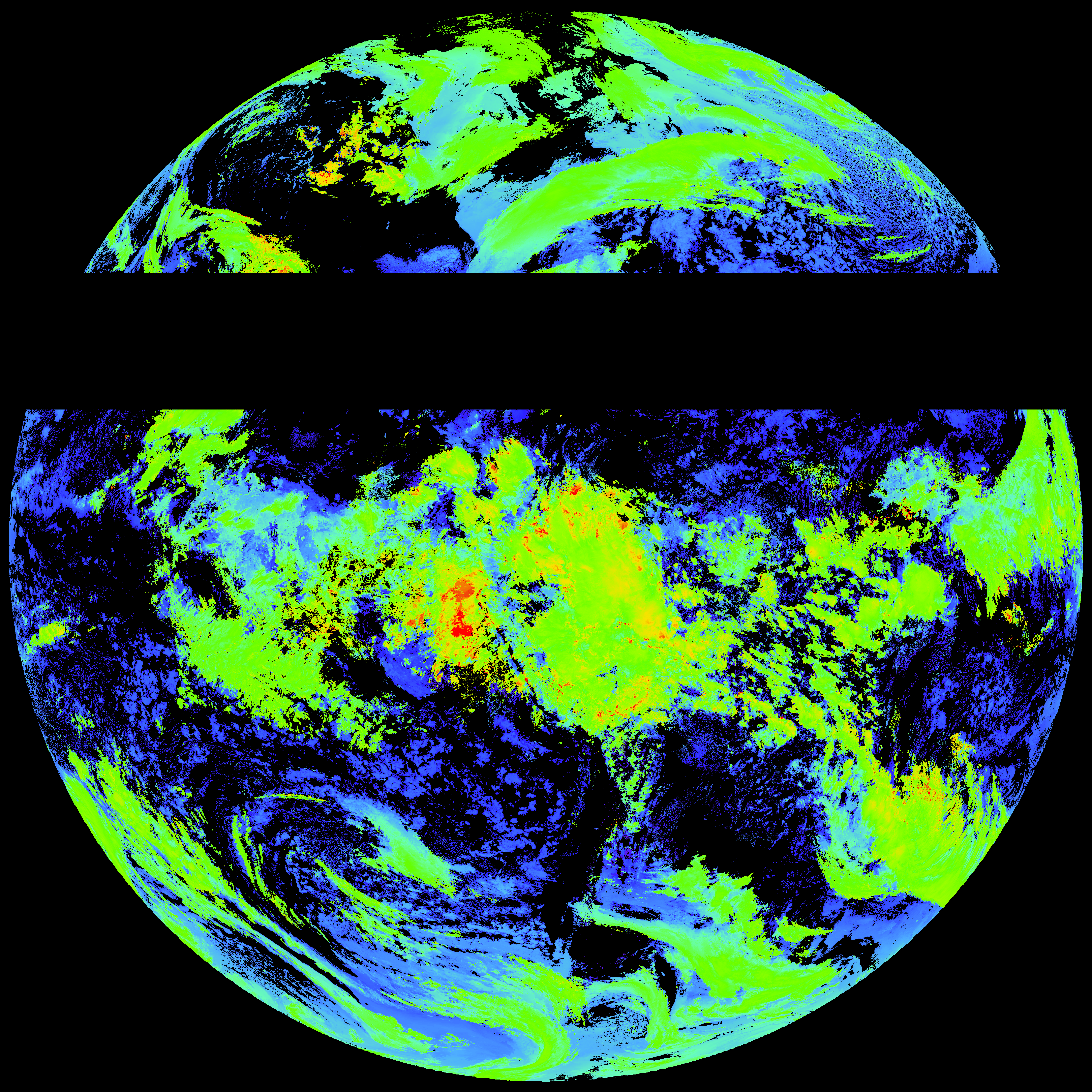
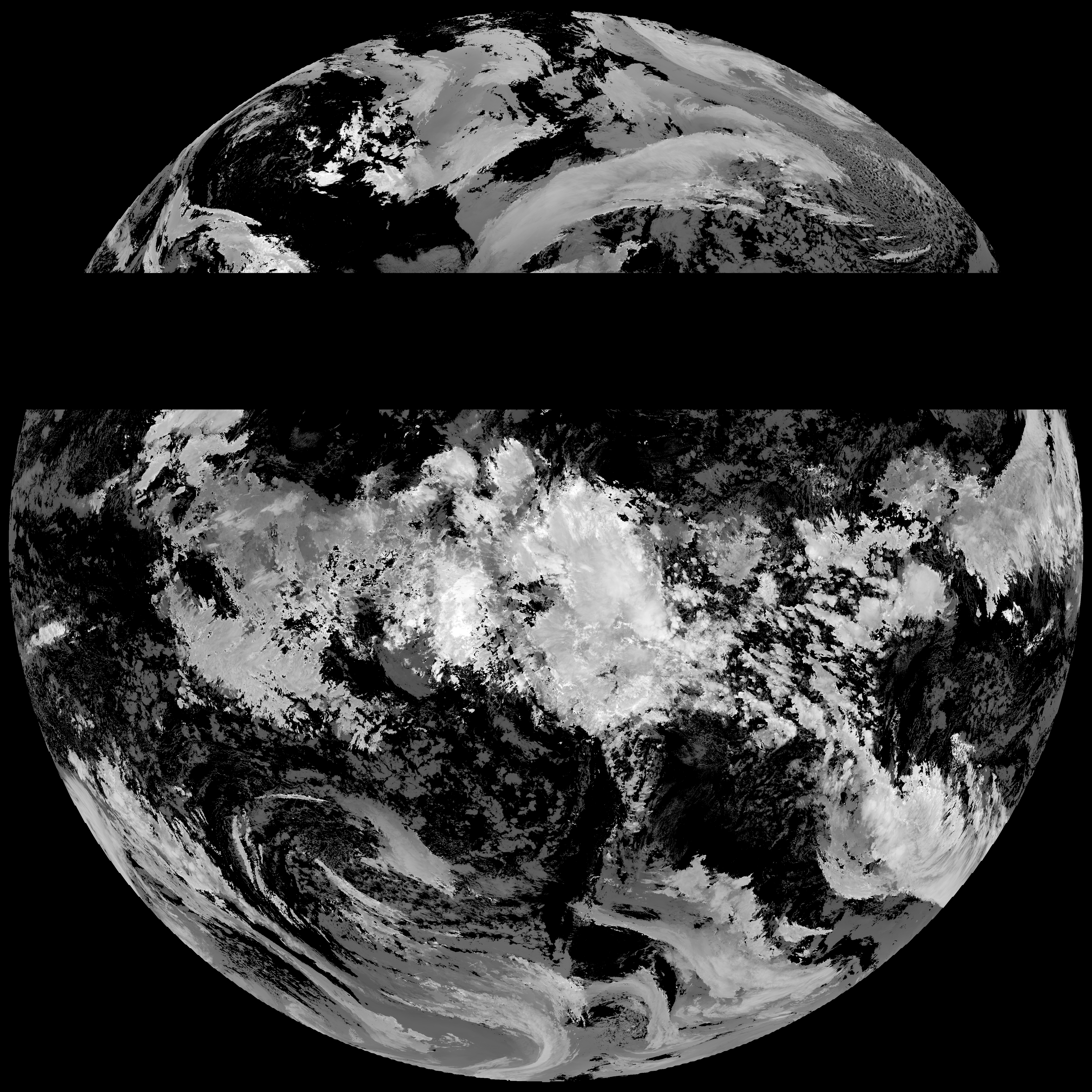
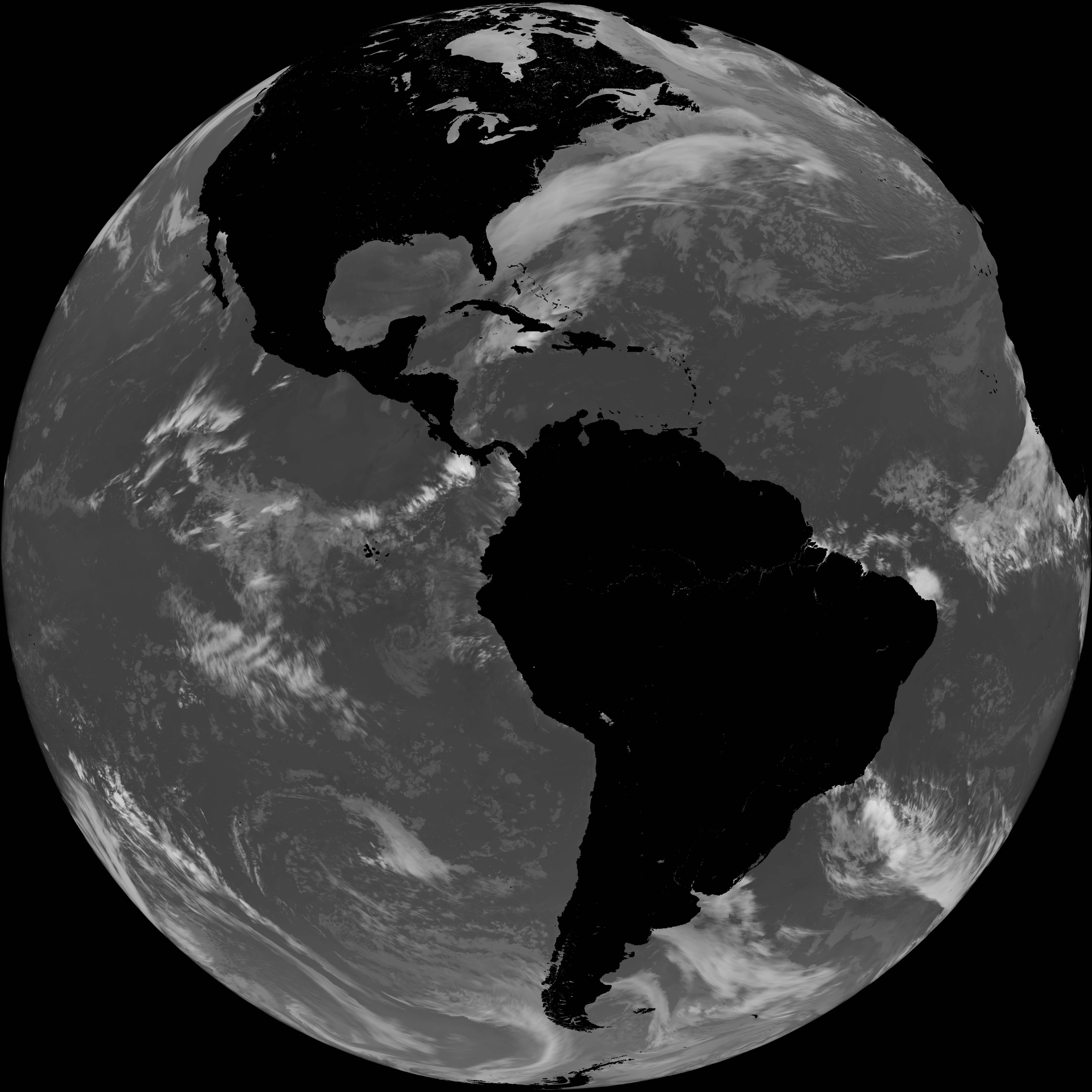
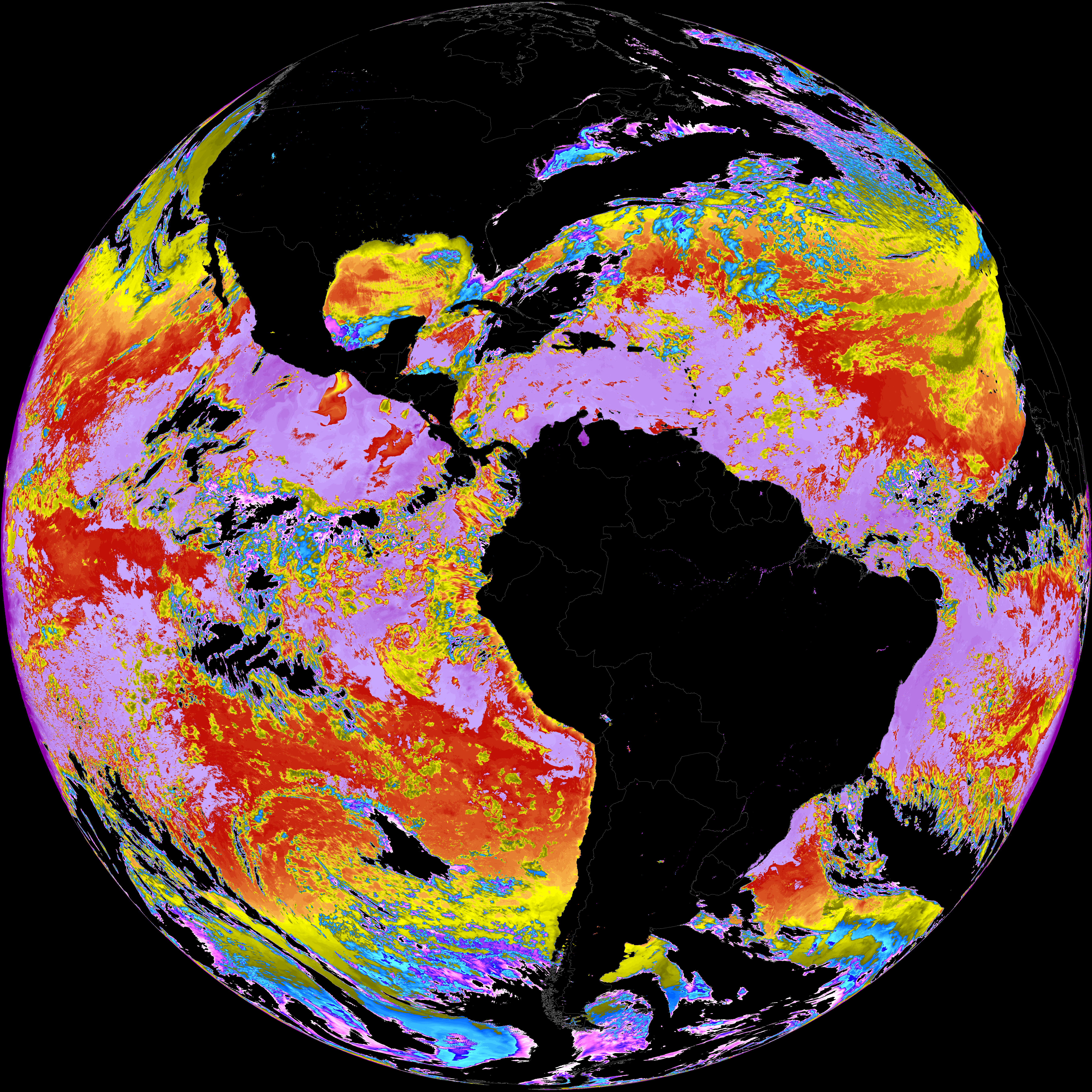
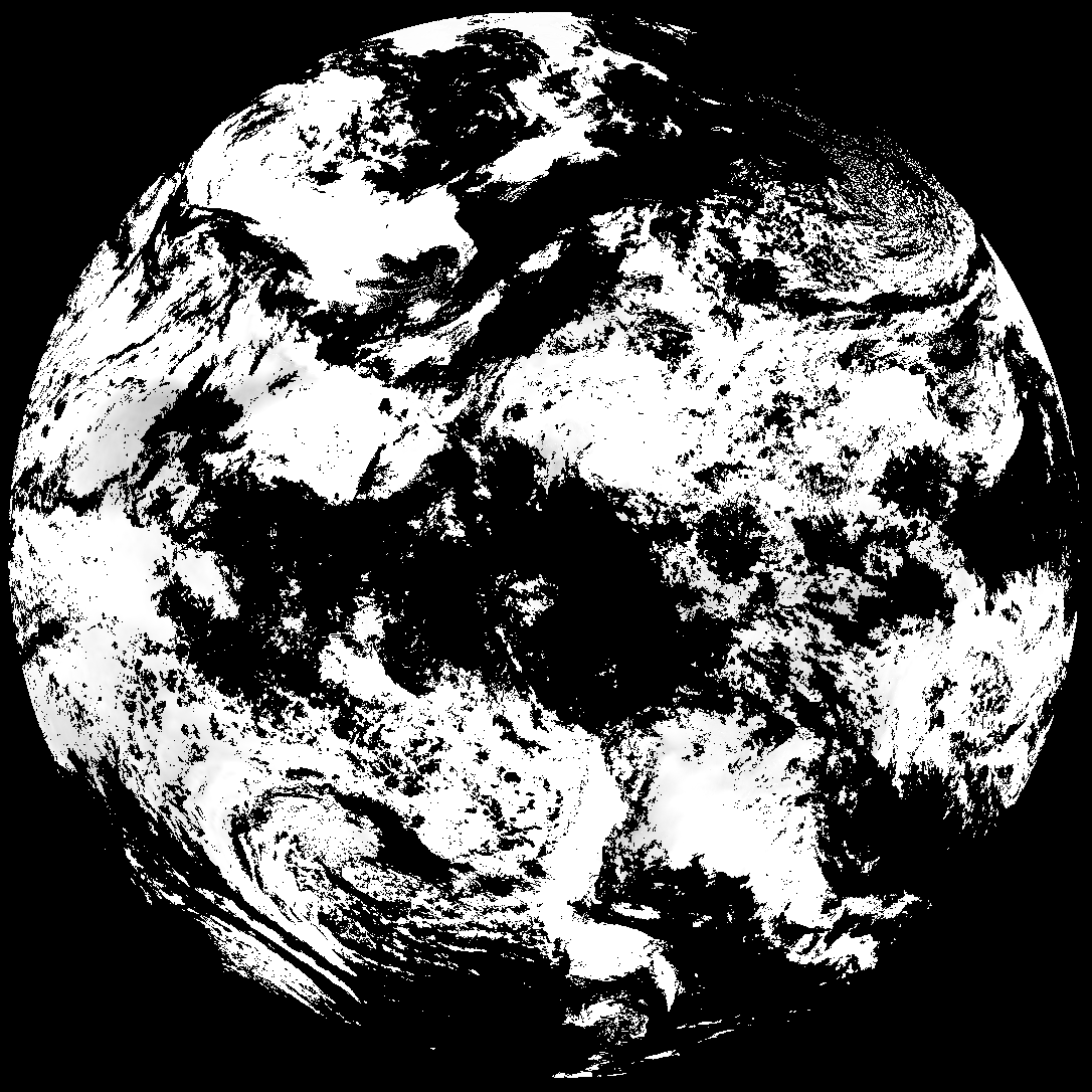
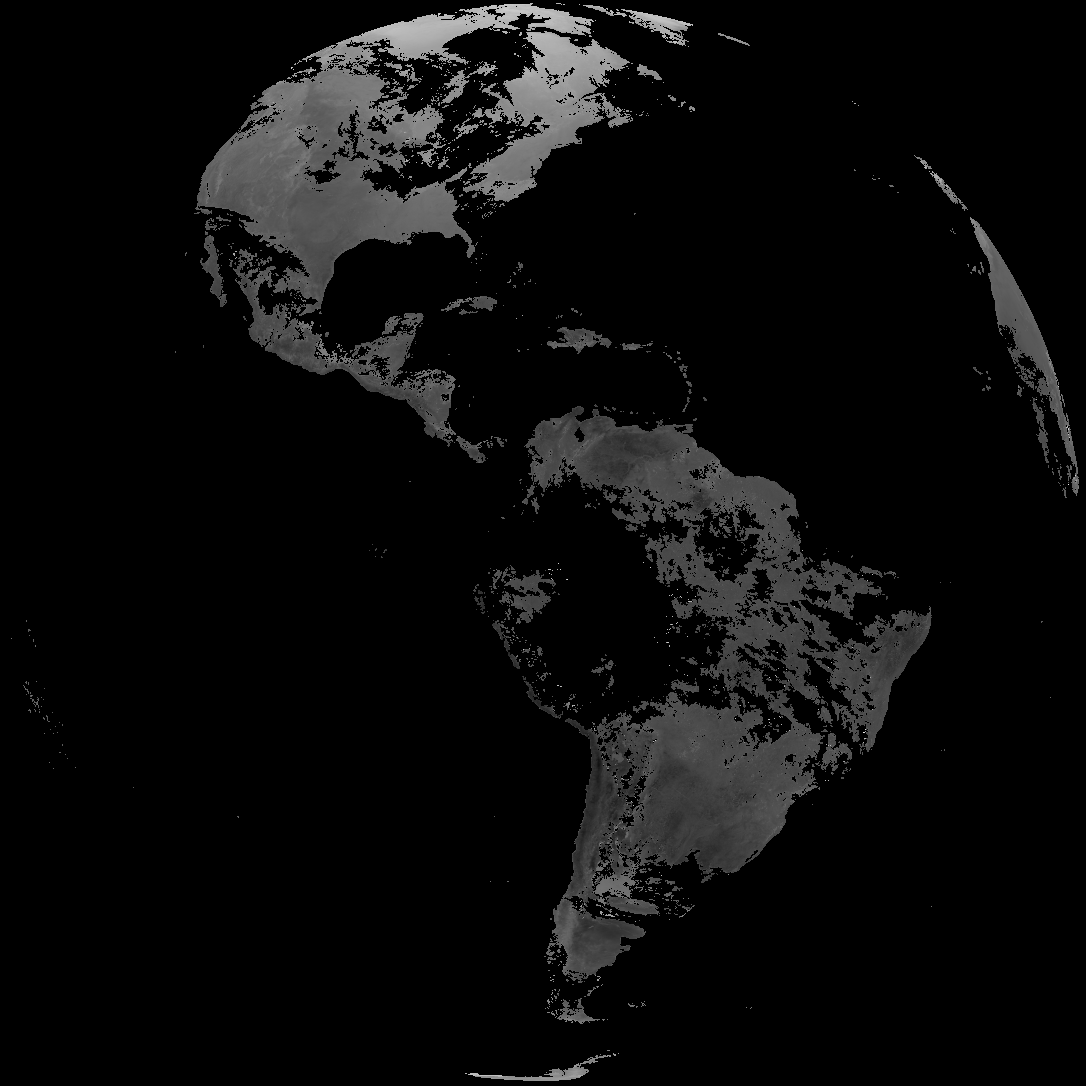
Quicklook renderings of ABI Level-2 geophysical fields. Each timestamp mirrors an imagery folder and includes a product.cbor metadata file.
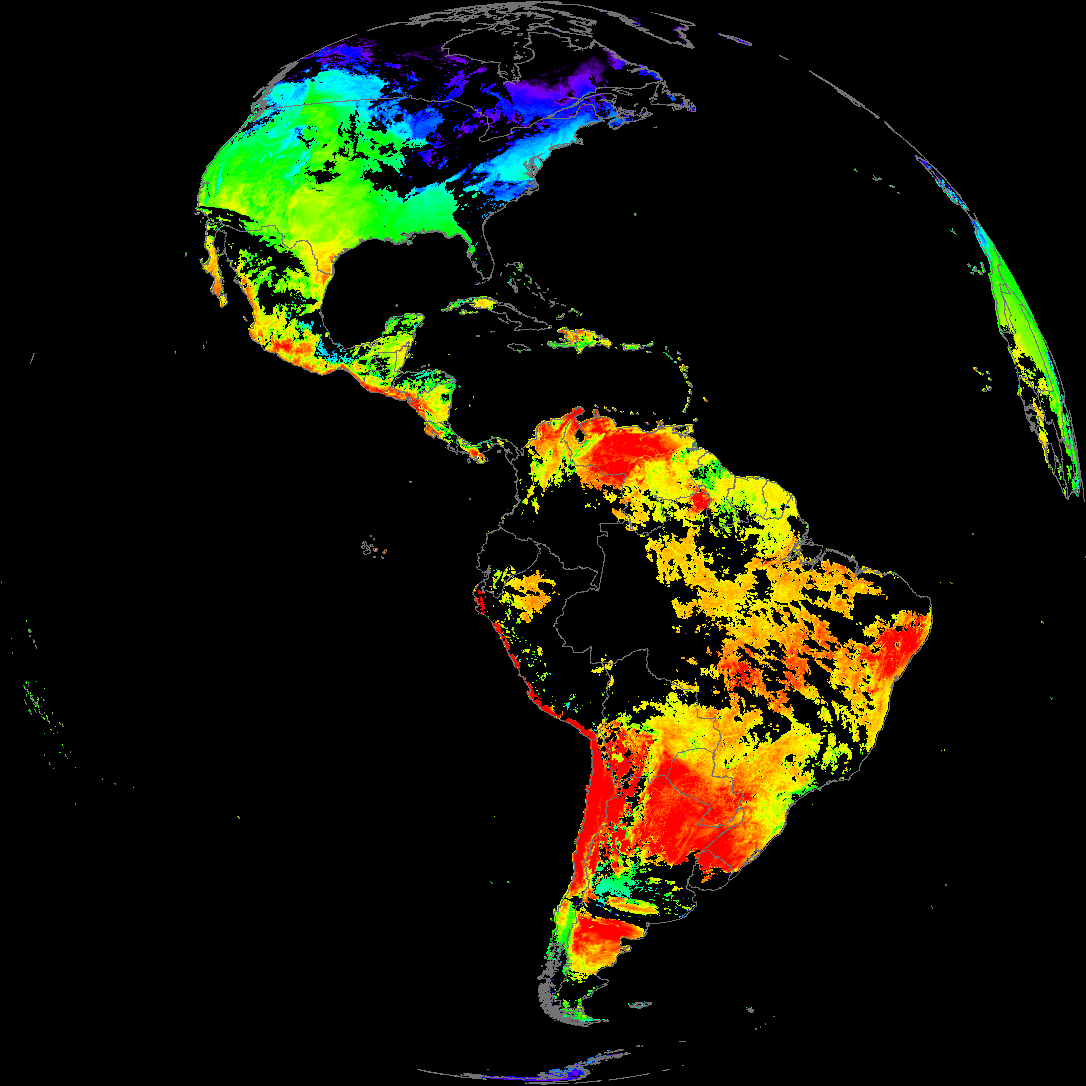
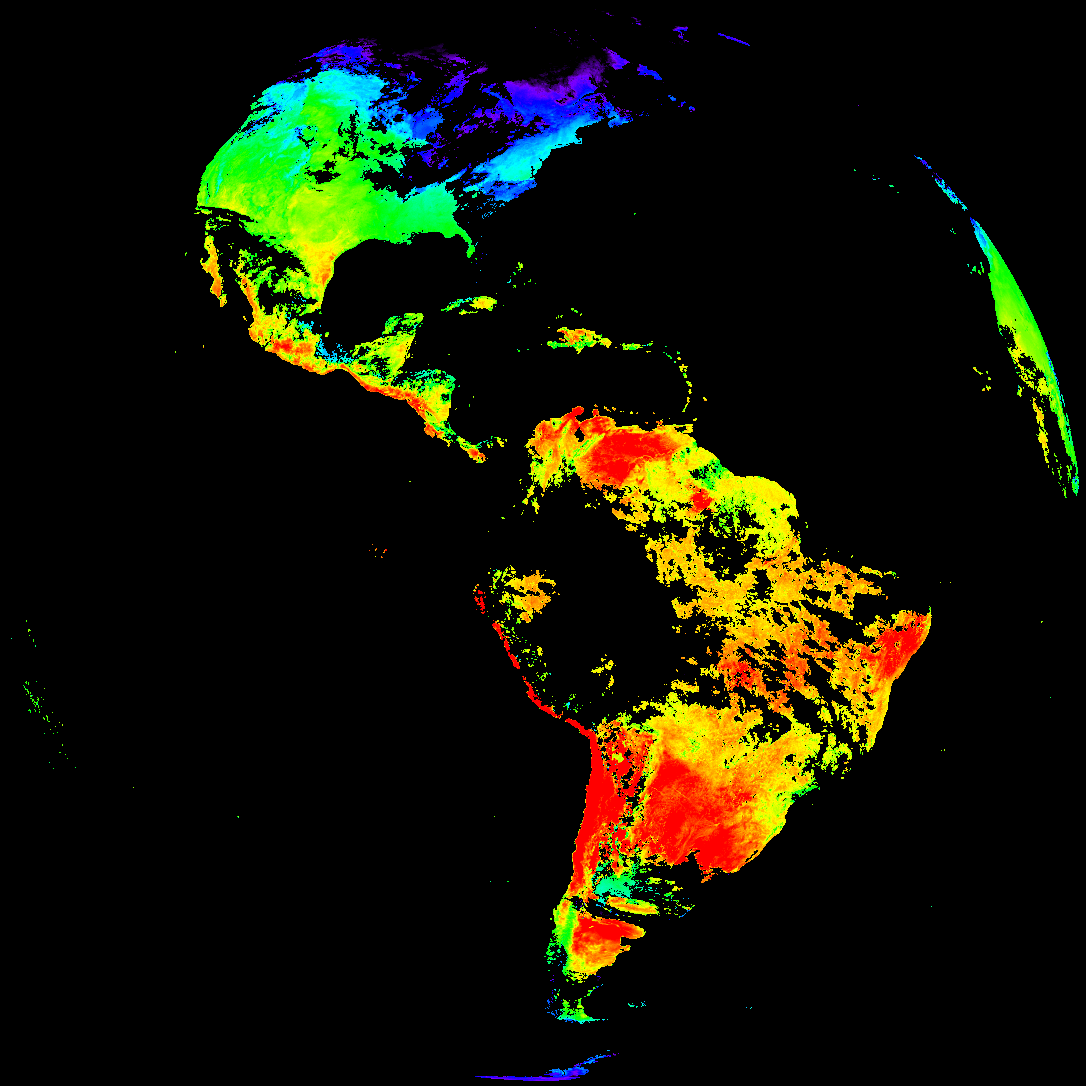
ACHT/ACHA), Derived Stability Indices (DSI), Total Precipitable Water (TPW), Rain Rate/QPE (RRQPE).SST/LST).G19_TPW_YYYYMMDDThhmmssZ.png with matching abi_rgb_* composites.The accompanying product.cbor files contain projection details that map pixels to Earth coordinates and physical units.
| File Name ↓ | File Size ↓ | Date ↓ |
|---|---|---|
| Parent directory/ | - | - |
| abi_rgb_Cloud_top_Temperature_(ACHT)_map.png | 14010181 | 2026-Feb-05 19:06 |
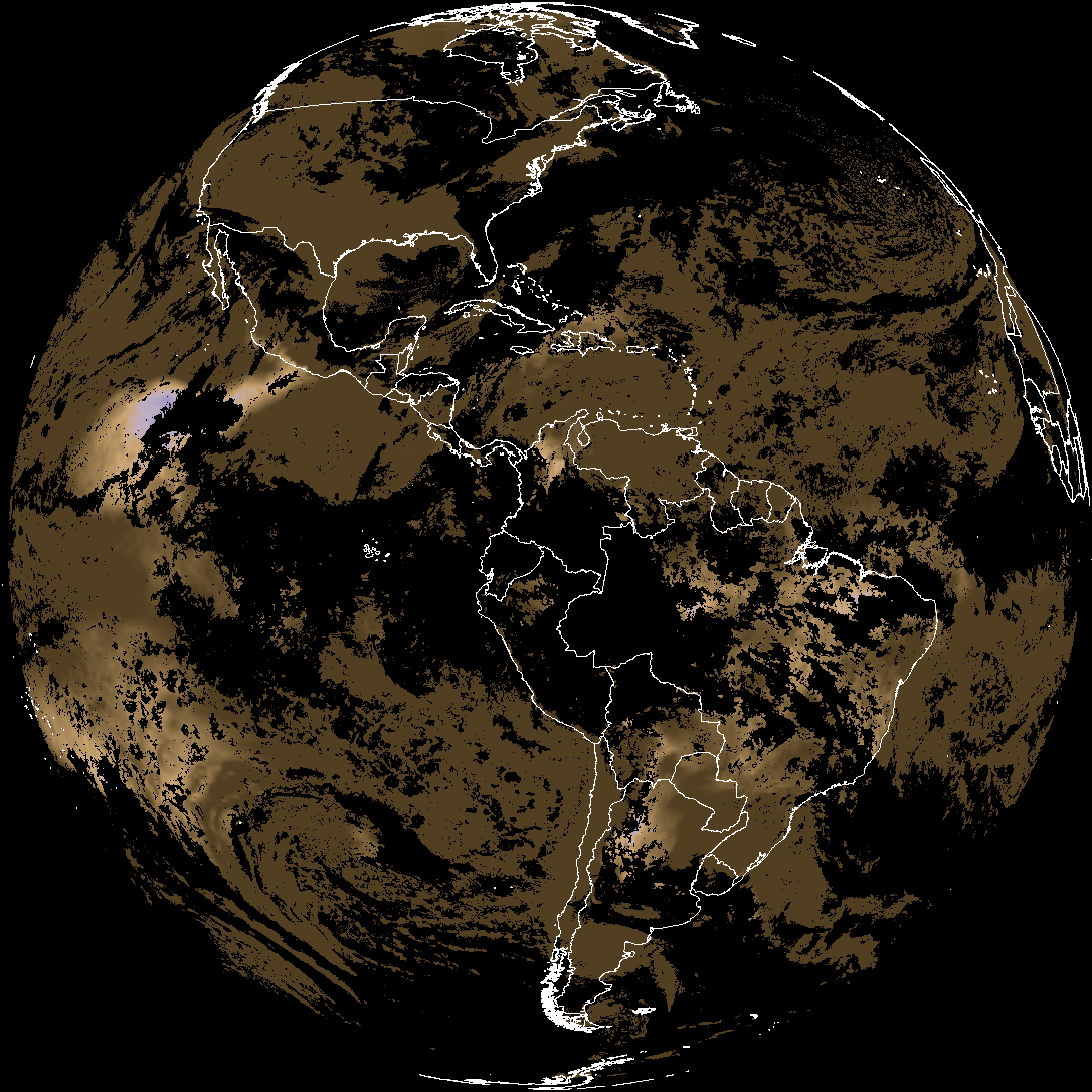
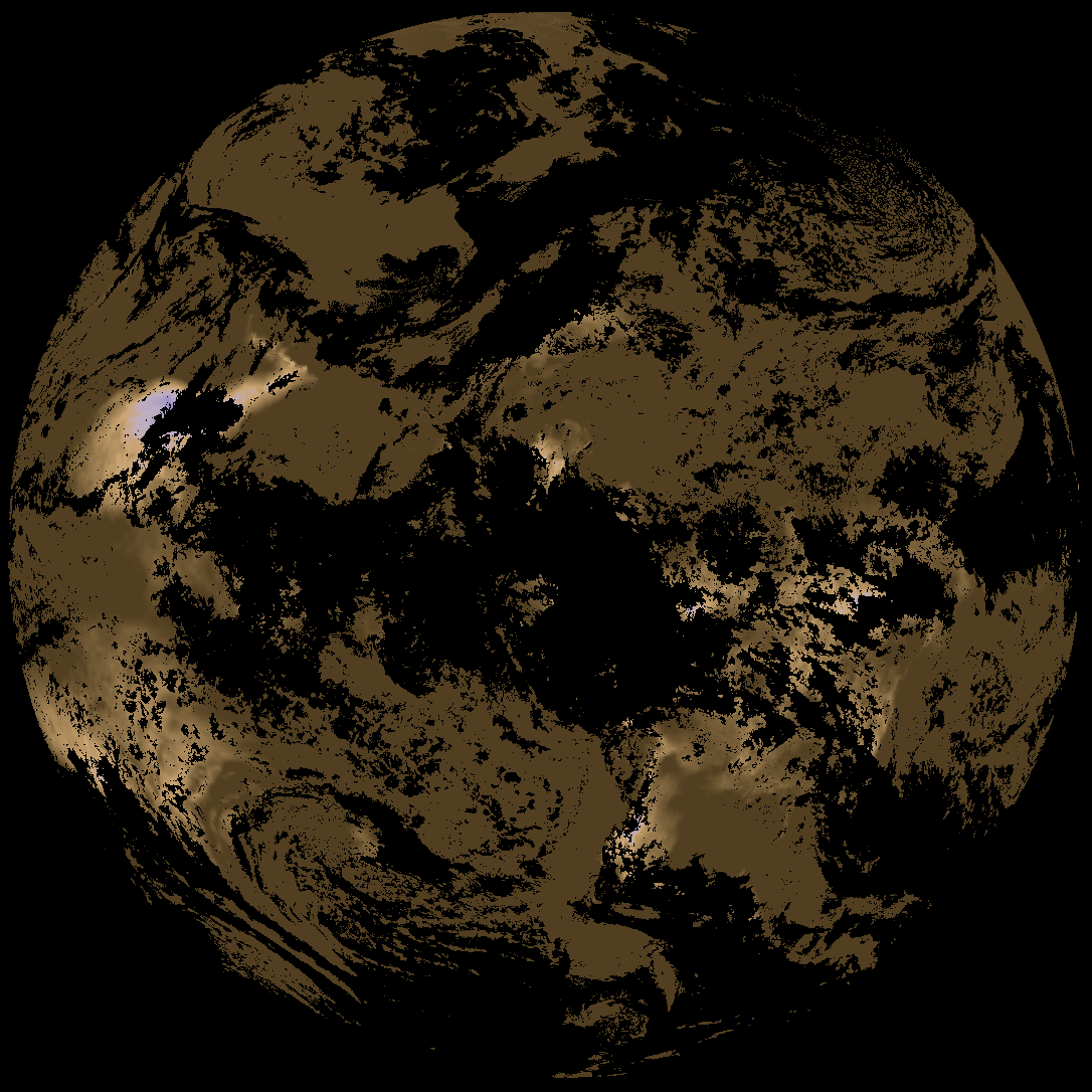
| abi_rgb_Cloud_top_Temperature_(ACHT).png | 13915294 | 2026-Feb-05 19:06 |
| G19_ACHT_20260205T180020Z.png | 10294918 | 2026-Feb-05 19:06 |
| G19_SST_20260205T180020Z.png | 7738810 | 2026-Feb-05 19:08 |
| abi_rgb_Sea_Surface_Temperature_map.png | 7690678 | 2026-Feb-05 19:09 |
| abi_rgb_Sea_Surface_Temperature.png | 7582468 | 2026-Feb-05 19:09 |
| abi_rgb_Derived_Stability_Indices_-_CAPE_map.png | 197062 | 2026-Feb-05 18:40 |
| abi_rgb_Derived_Stability_Indices_-_CAPE.png | 181621 | 2026-Feb-05 18:40 |
| abi_rgb_Land_Surface_Temperature_map.png | 172751 | 2026-Feb-05 19:12 |
| abi_rgb_Land_Surface_Temperature.png | 163484 | 2026-Feb-05 19:12 |
| G19_DSI_20260205T180020Z.png | 136944 | 2026-Feb-05 18:39 |
| G19_LST_20260205T180020Z.png | 132203 | 2026-Feb-05 19:12 |
| product.cbor | 621 | 2026-Feb-05 19:12 |