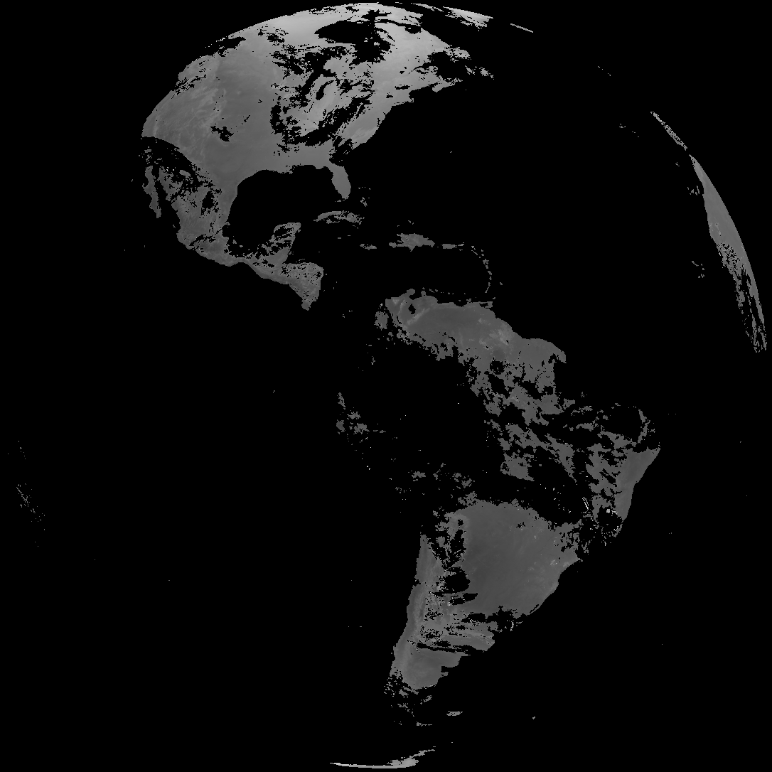
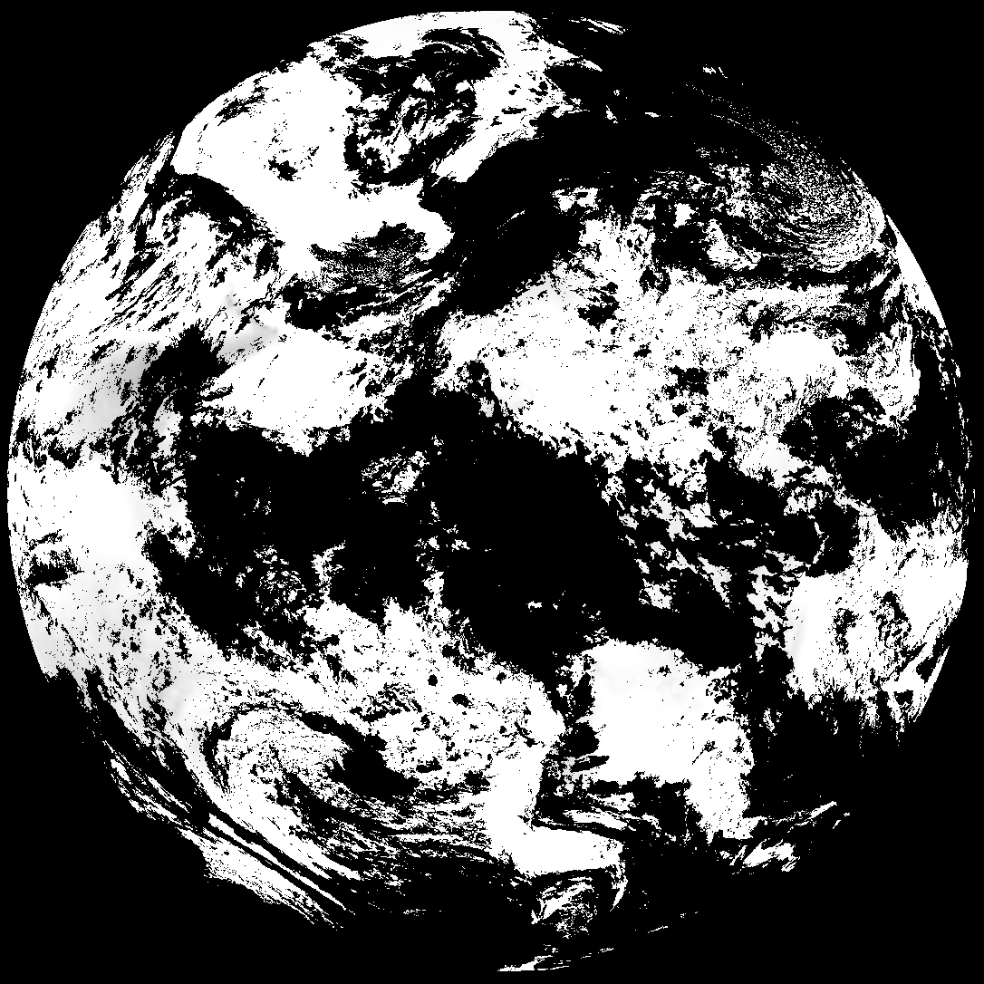
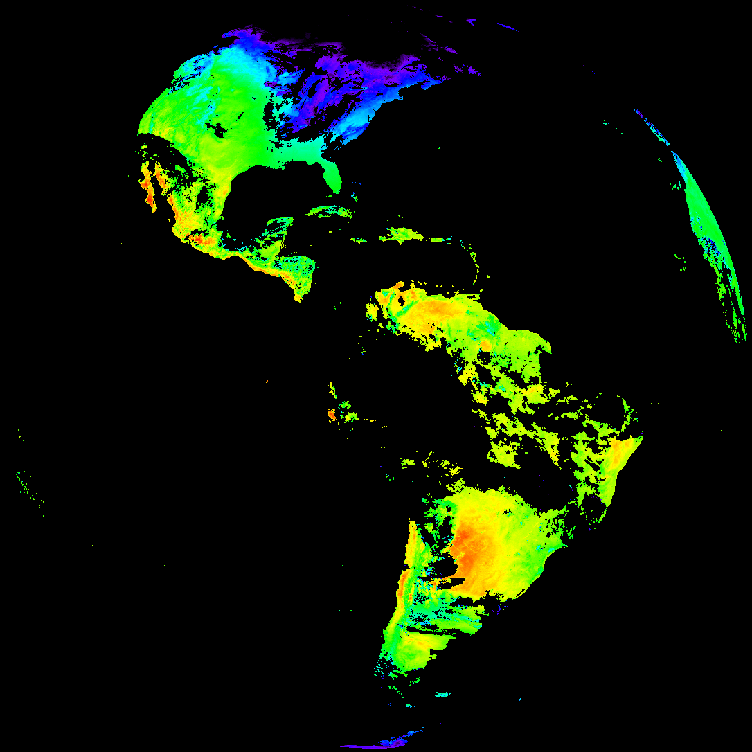
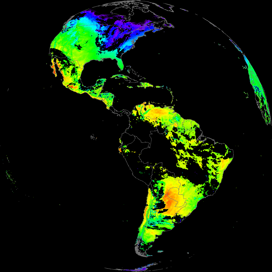
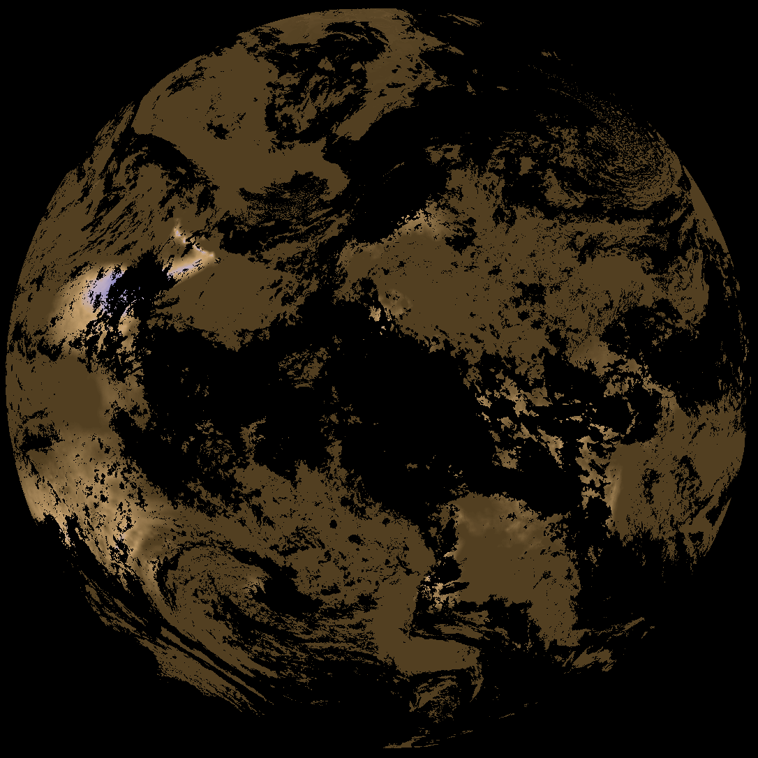
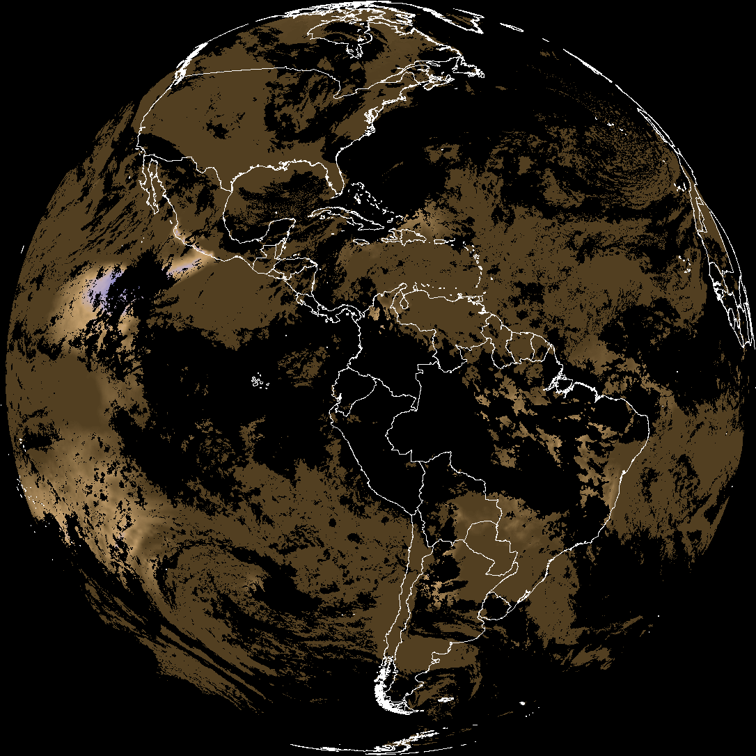
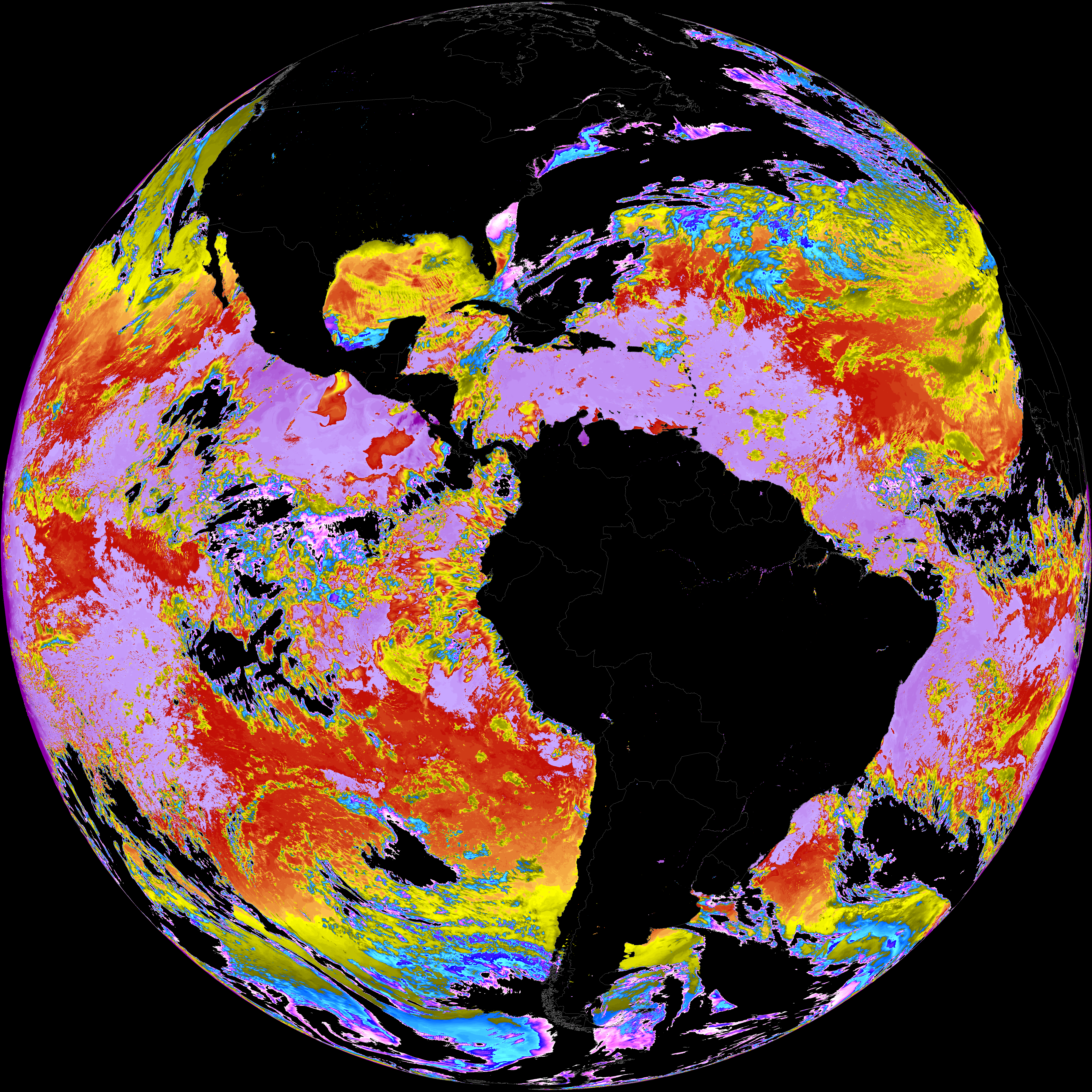
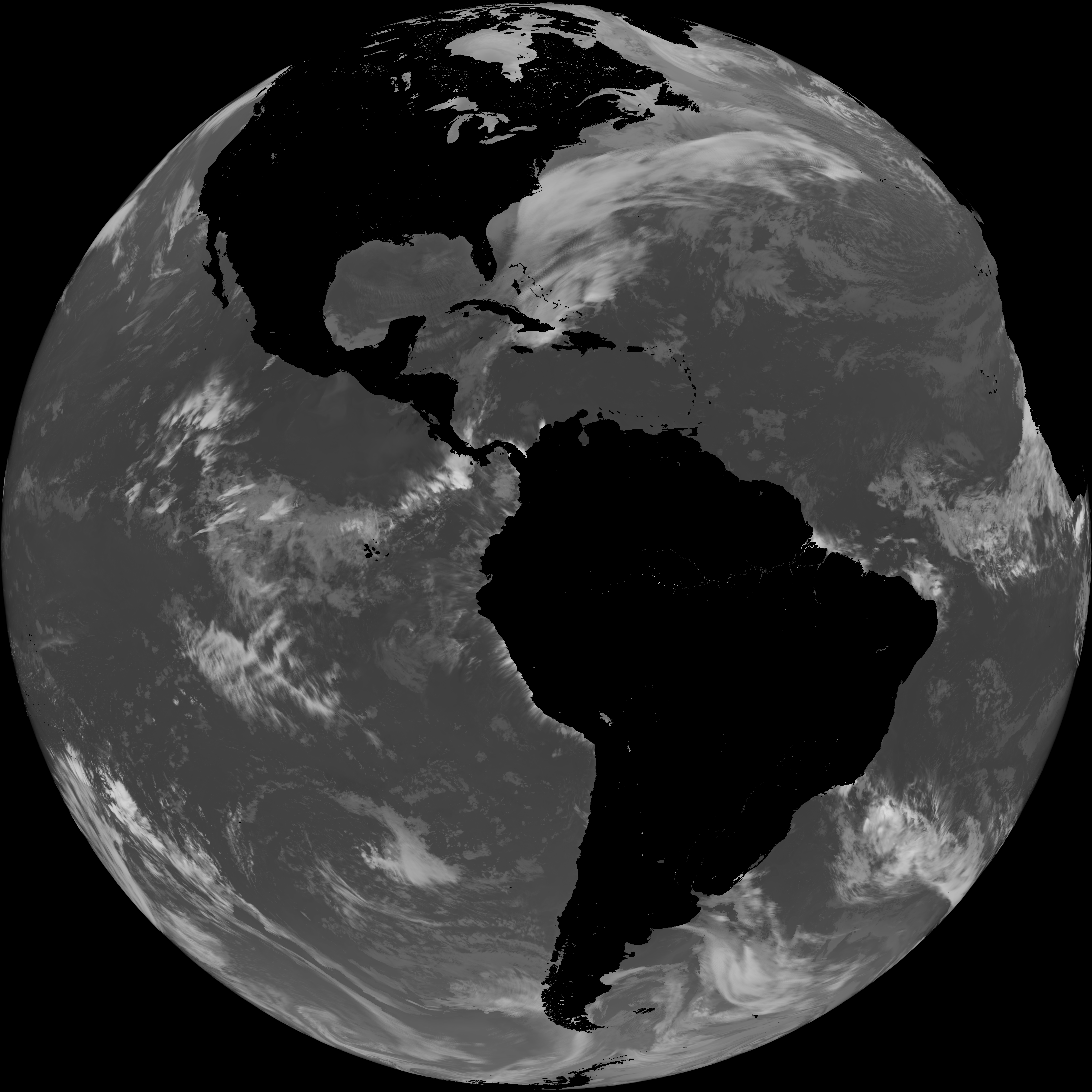
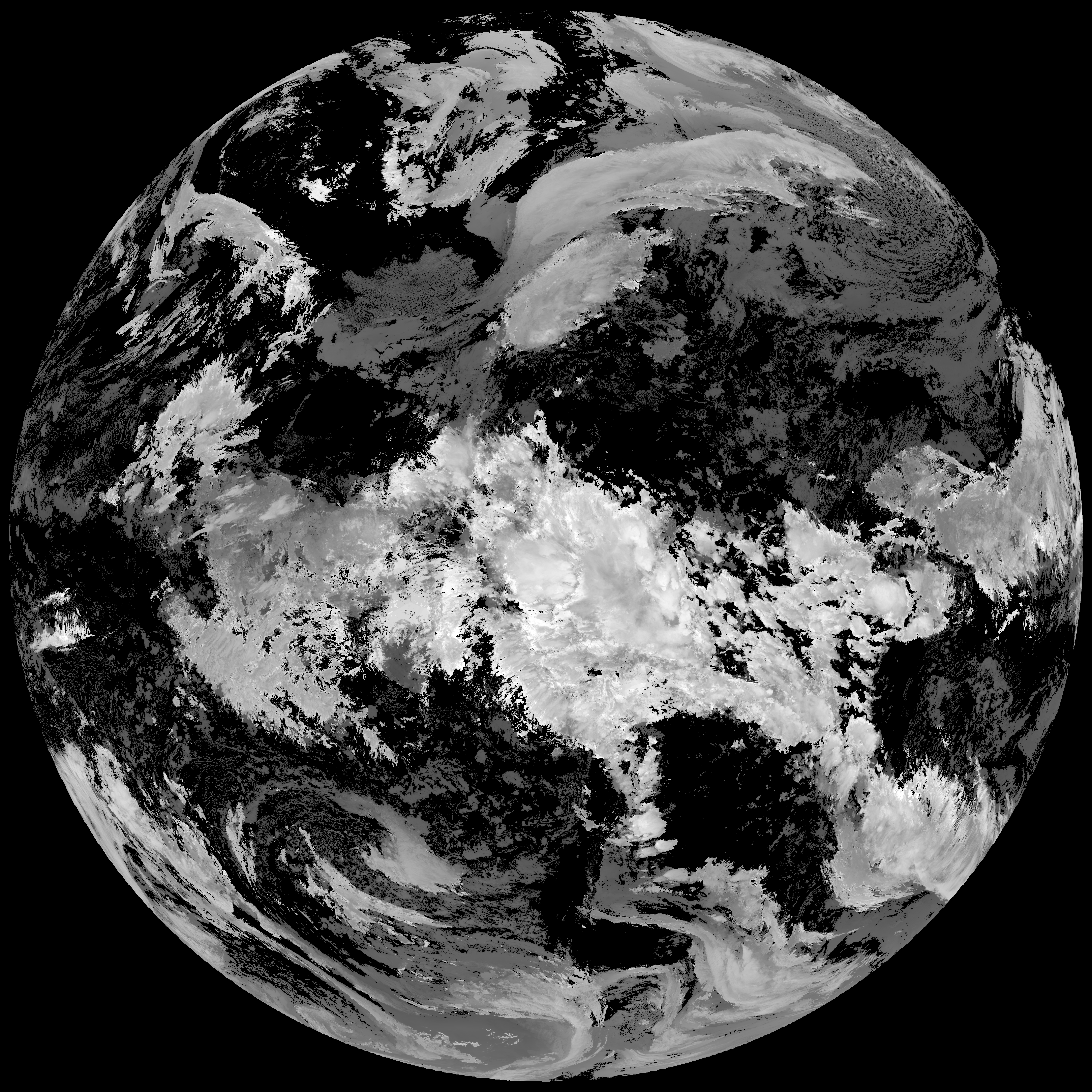
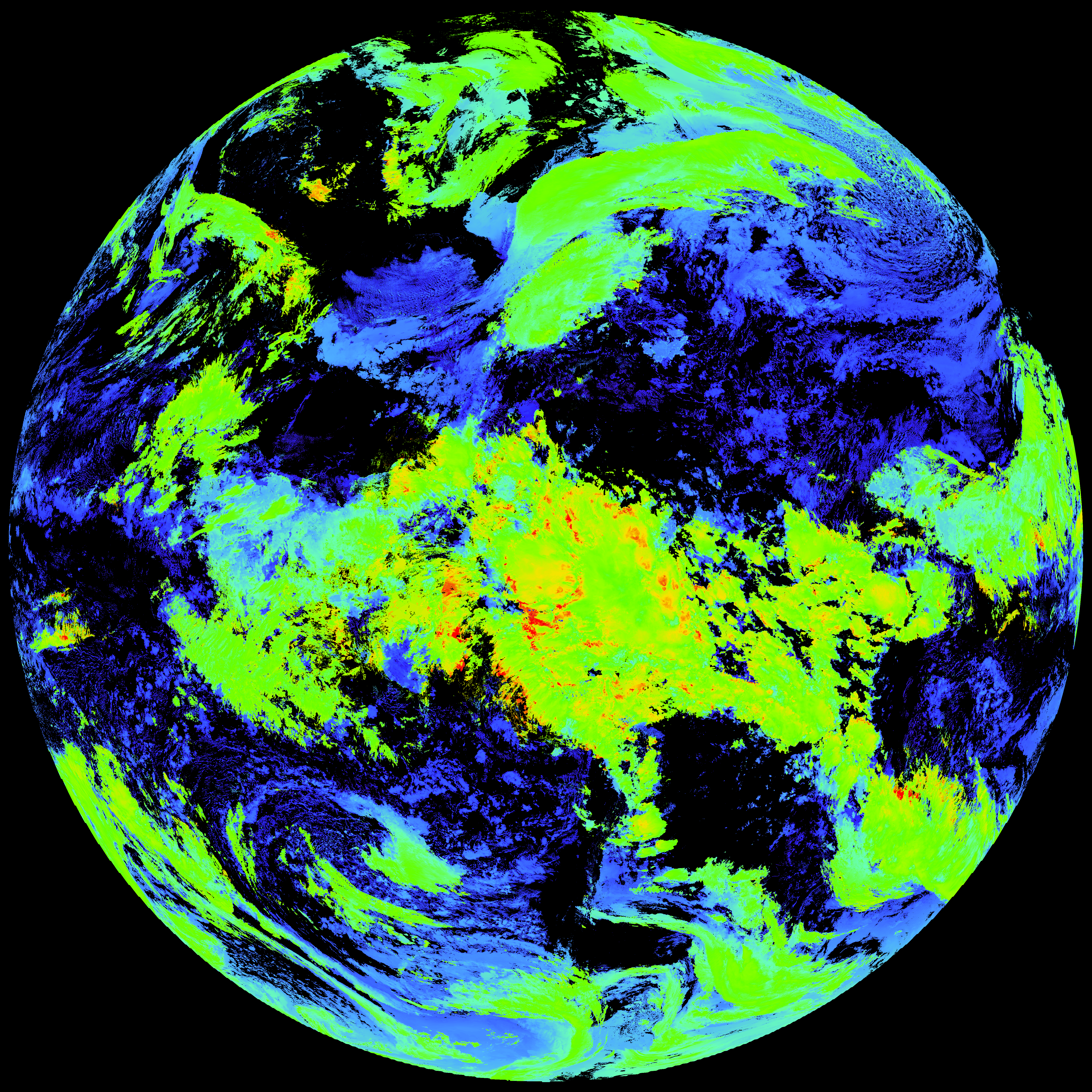
Quicklook renderings of ABI Level-2 geophysical fields. Each timestamp mirrors an imagery folder and includes a product.cbor metadata file.
ACHT/ACHA), Derived Stability Indices (DSI), Total Precipitable Water (TPW), Rain Rate/QPE (RRQPE).SST/LST).G19_TPW_YYYYMMDDThhmmssZ.png with matching abi_rgb_* composites.The accompanying product.cbor files contain projection details that map pixels to Earth coordinates and physical units.
| File Name ↓ | File Size ↓ | Date ↓ |
|---|---|---|
| Parent directory/ | - | - |
| product.cbor | 621 | 2026-Feb-05 23:12 |
| G19_LST_20260205T220020Z.png | 114981 | 2026-Feb-05 23:12 |
| G19_DSI_20260205T220020Z.png | 121081 | 2026-Feb-05 22:36 |
| abi_rgb_Land_Surface_Temperature.png | 144604 | 2026-Feb-05 23:12 |
| abi_rgb_Land_Surface_Temperature_map.png | 154254 | 2026-Feb-05 23:12 |
| abi_rgb_Derived_Stability_Indices_-_CAPE.png | 161381 | 2026-Feb-05 22:36 |
| abi_rgb_Derived_Stability_Indices_-_CAPE_map.png | 177109 | 2026-Feb-05 22:36 |
| abi_rgb_Sea_Surface_Temperature.png | 7677585 | 2026-Feb-05 23:08 |
| abi_rgb_Sea_Surface_Temperature_map.png | 7790267 | 2026-Feb-05 23:08 |
| G19_SST_20260205T220020Z.png | 7853190 | 2026-Feb-05 23:08 |
| G19_ACHT_20260205T220020Z.png | 11686272 | 2026-Feb-05 22:35 |
| abi_rgb_Cloud_top_Temperature_(ACHT).png | 15729435 | 2026-Feb-05 22:35 |
| abi_rgb_Cloud_top_Temperature_(ACHT)_map.png | 15811482 | 2026-Feb-05 22:35 |