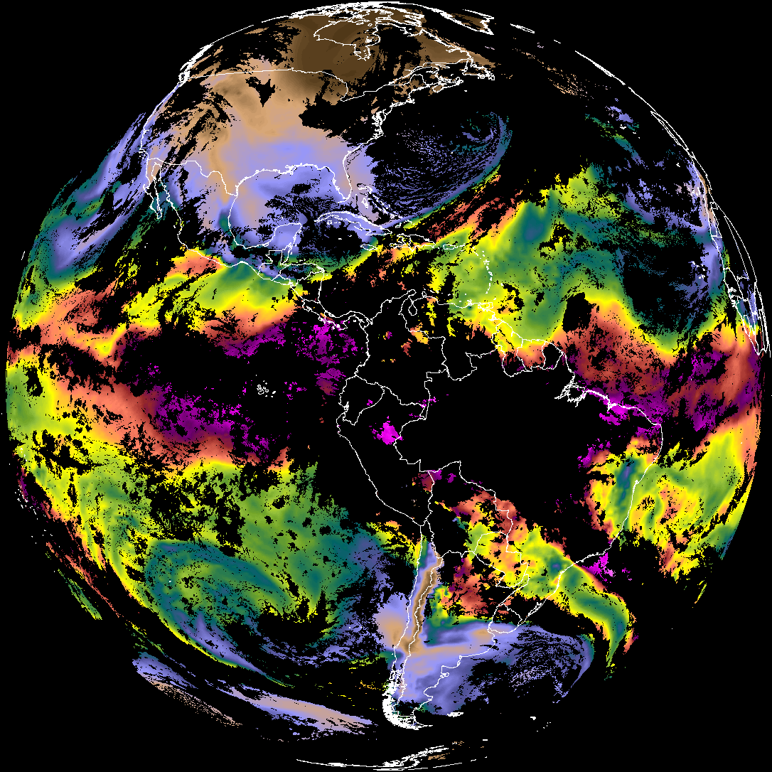
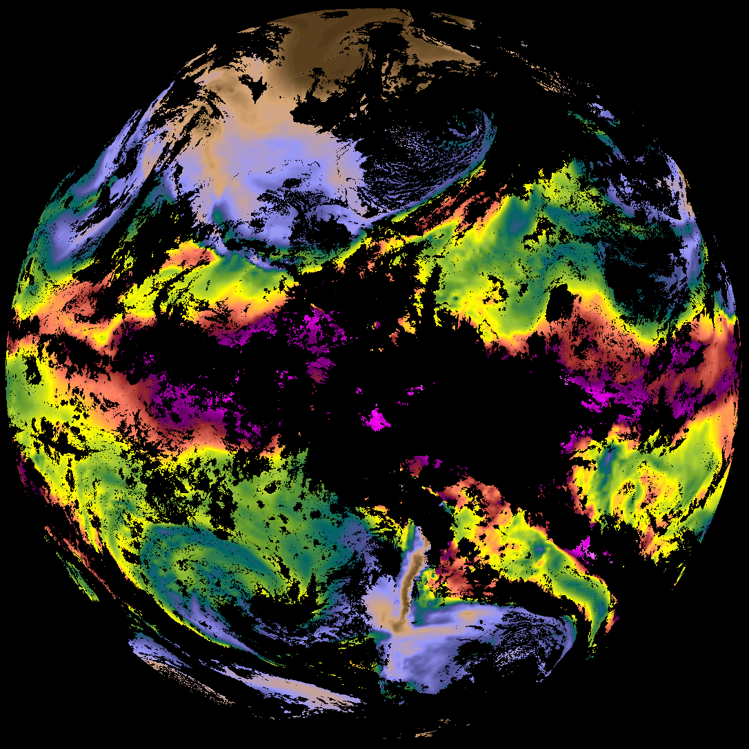
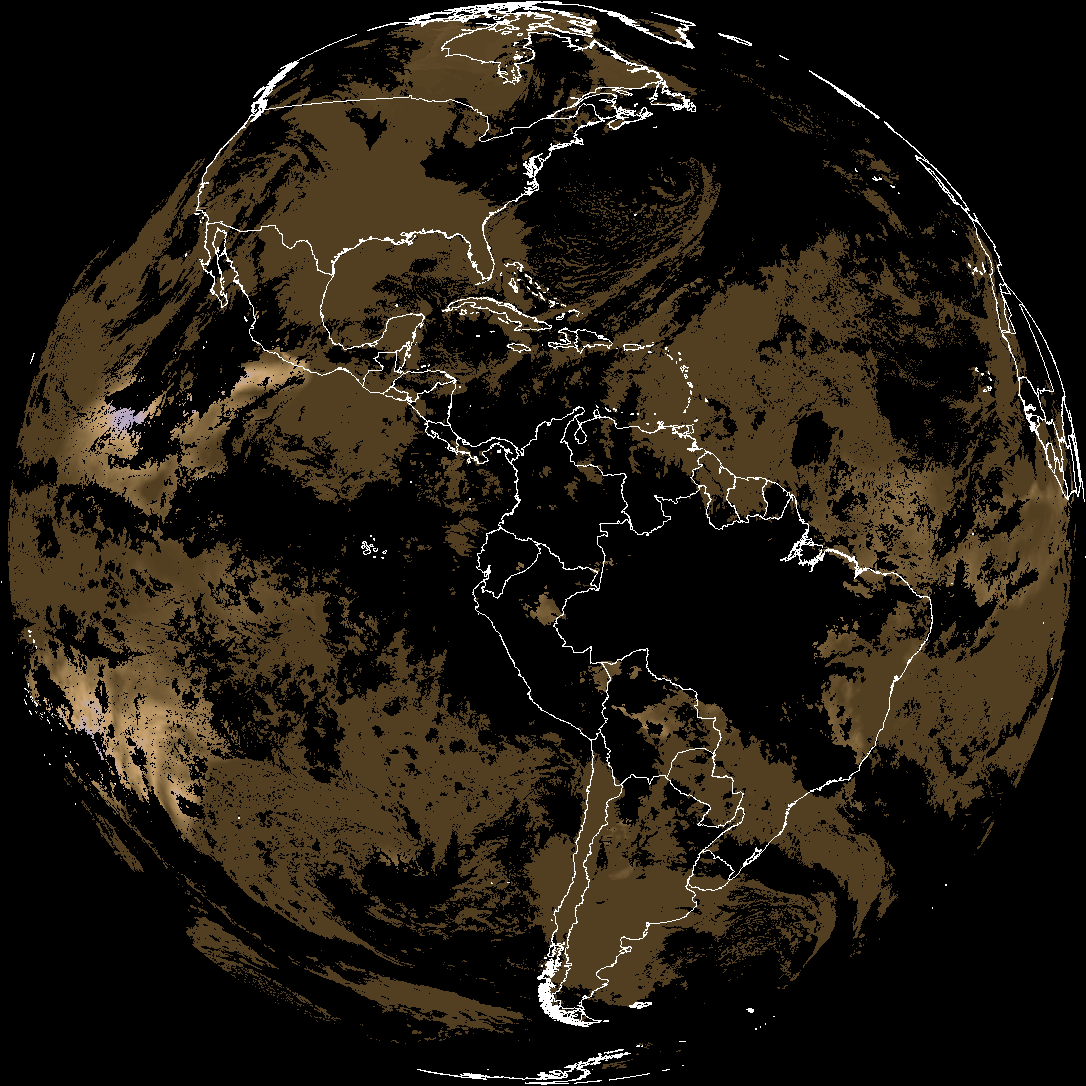
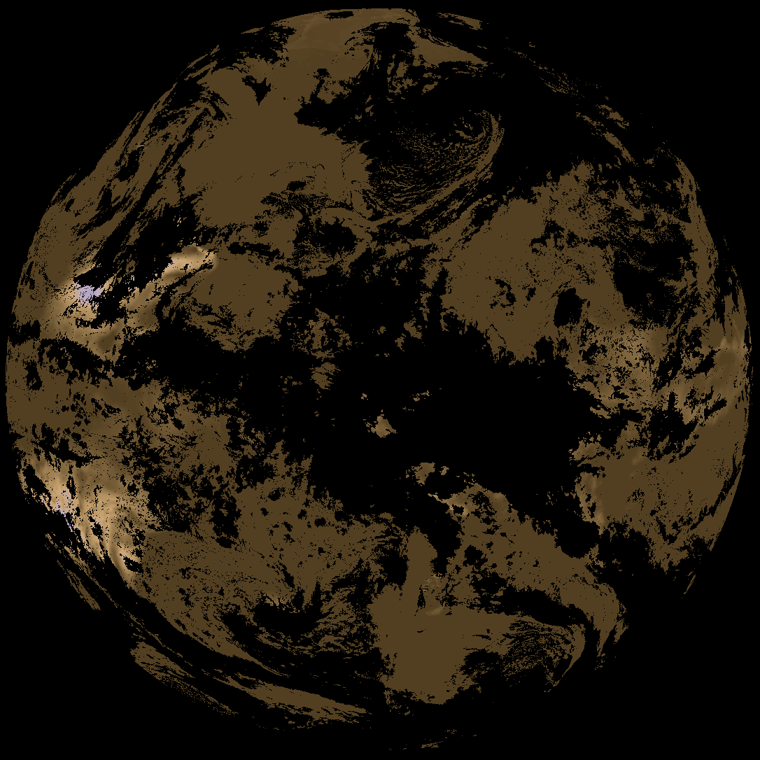
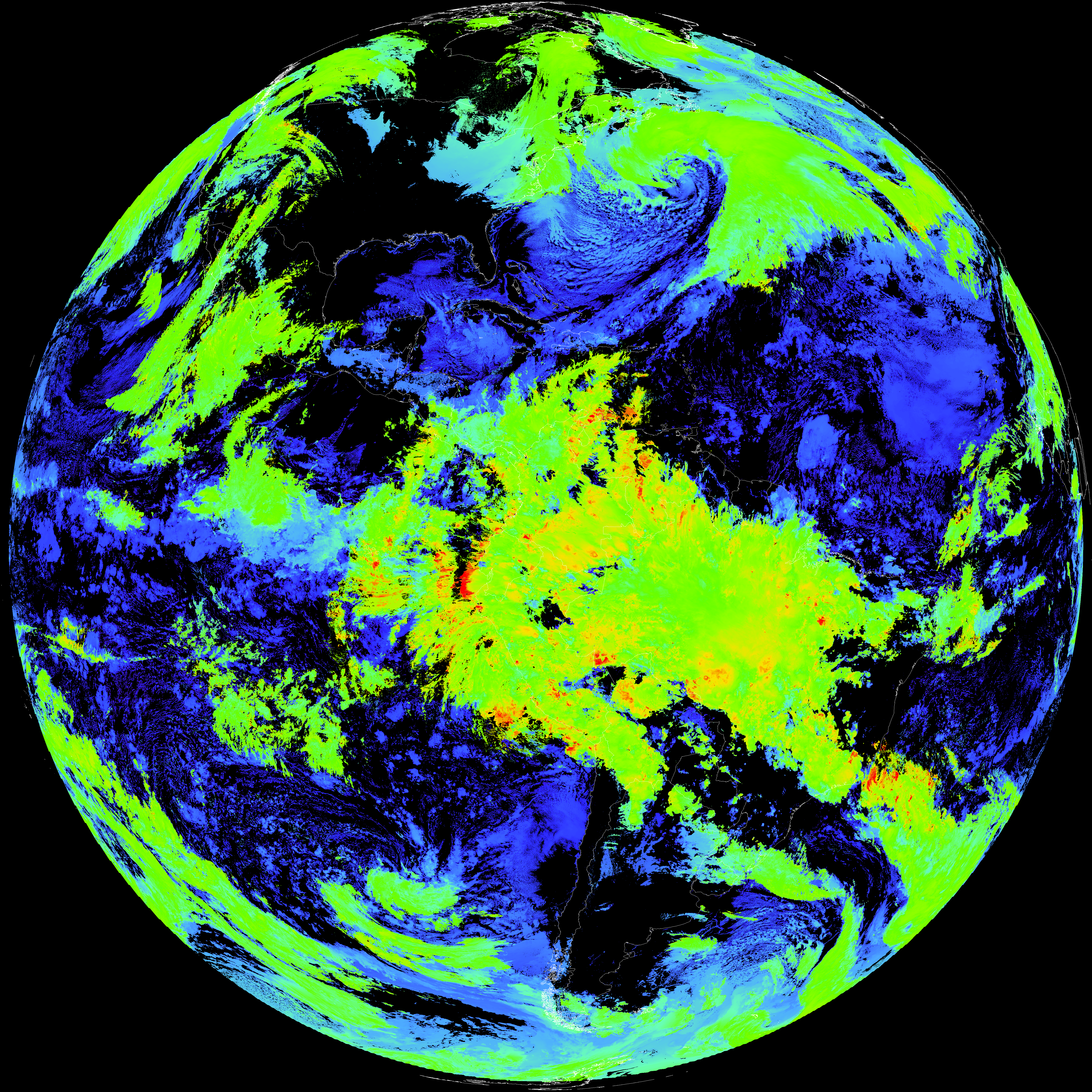
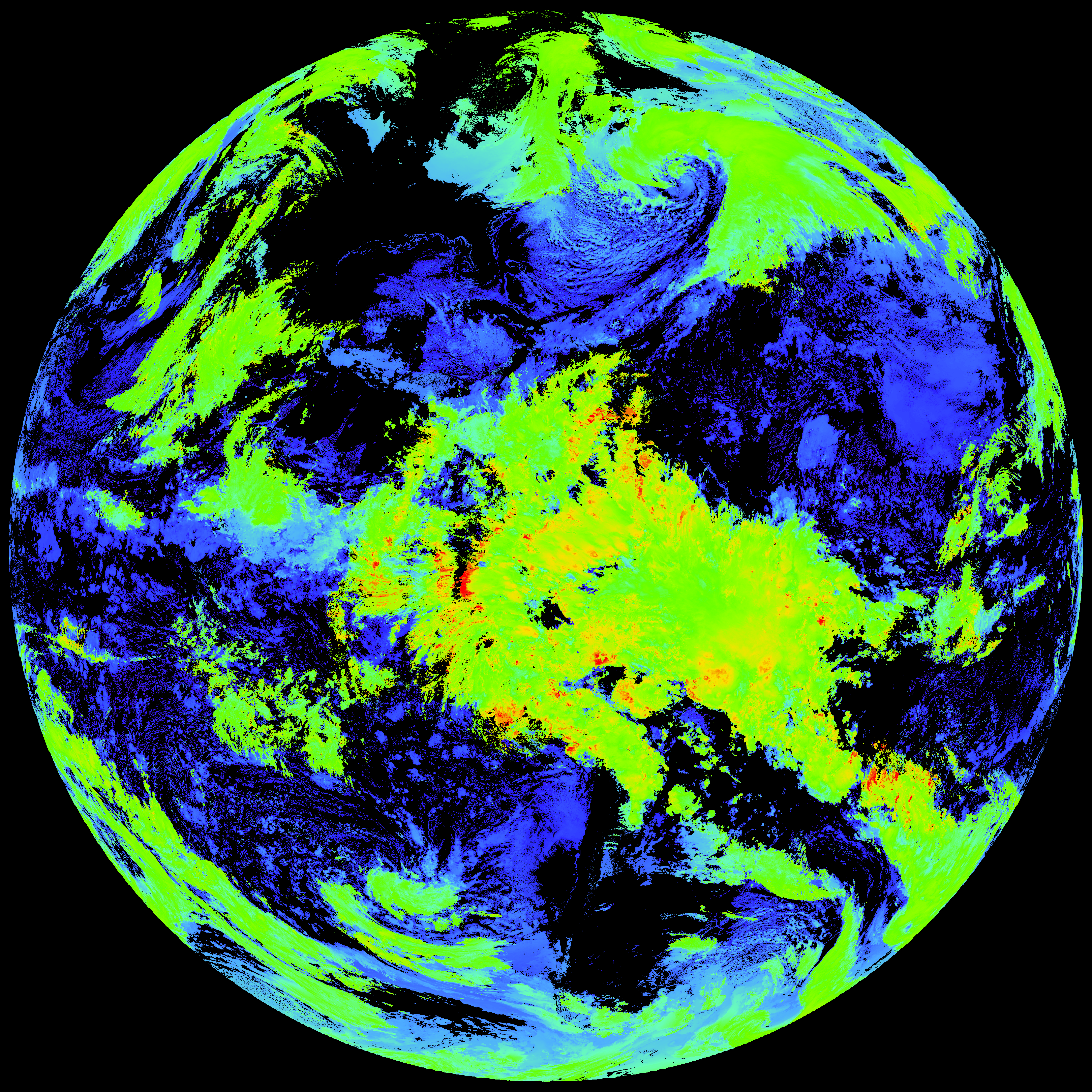
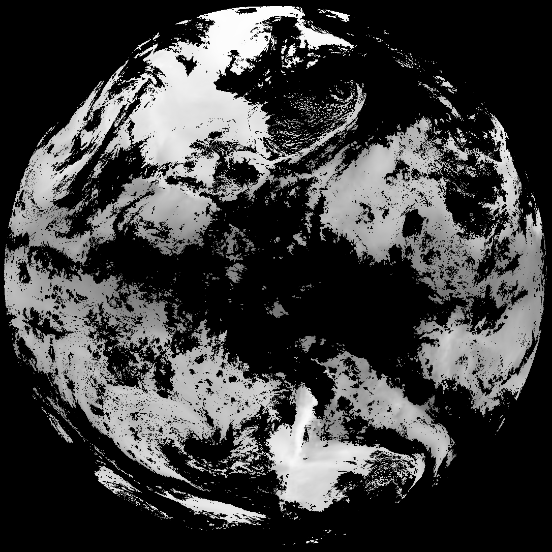
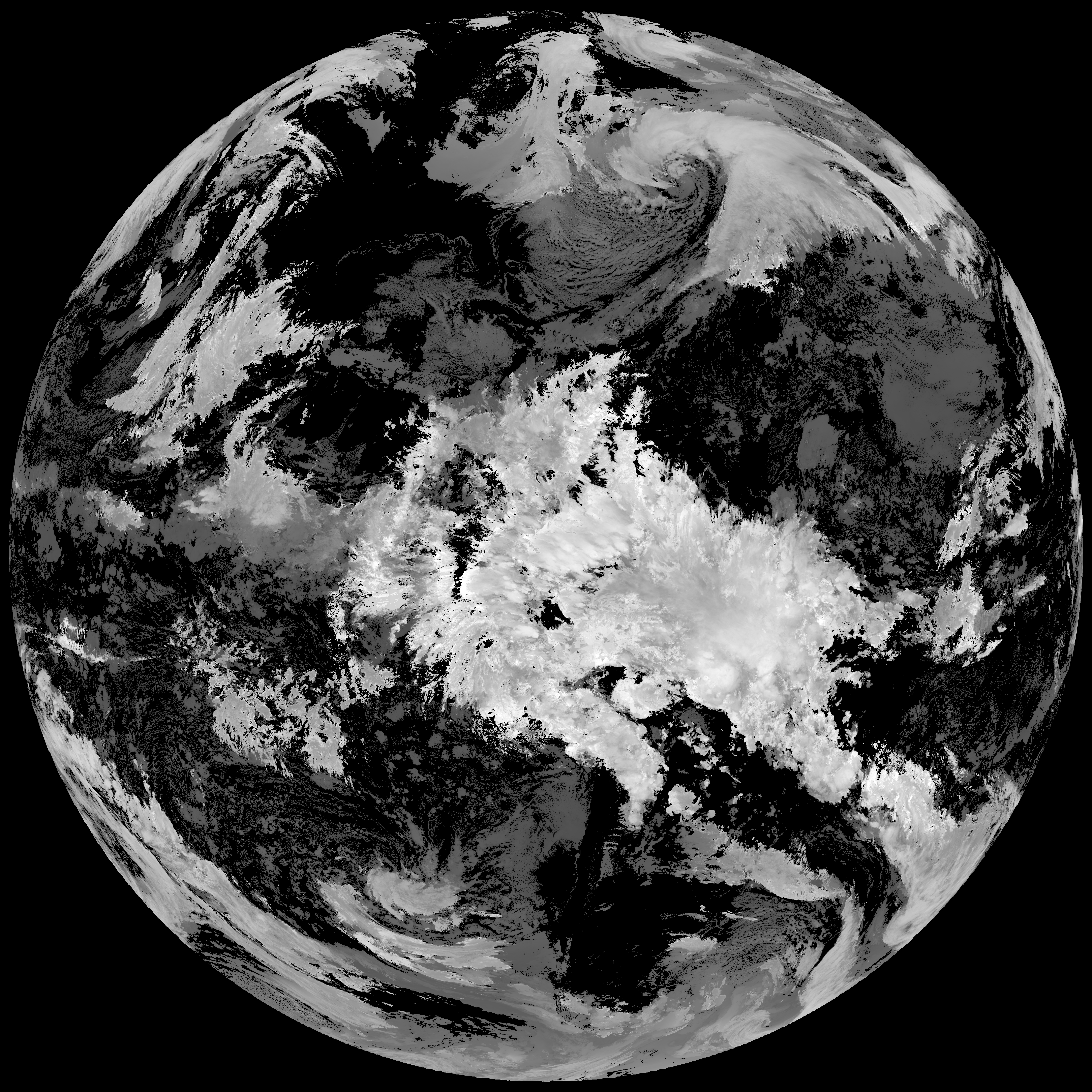
Quicklook renderings of ABI Level-2 geophysical fields. Each timestamp mirrors an imagery folder and includes a product.cbor metadata file.
ACHT/ACHA), Derived Stability Indices (DSI), Total Precipitable Water (TPW), Rain Rate/QPE (RRQPE).SST/LST).G19_TPW_YYYYMMDDThhmmssZ.png with matching abi_rgb_* composites.The accompanying product.cbor files contain projection details that map pixels to Earth coordinates and physical units.
| File Name ↓ | File Size ↓ | Date ↓ |
|---|---|---|
| Parent directory/ | - | - |
| product.cbor | 554 | 2026-Feb-06 23:34 |
| abi_rgb_Total_Precipitable_Water_map.png | 318855 | 2026-Feb-06 23:29 |
| abi_rgb_Total_Precipitable_Water.png | 305960 | 2026-Feb-06 23:29 |
| abi_rgb_Derived_Stability_Indices_-_CAPE_map.png | 173130 | 2026-Feb-06 23:34 |
| abi_rgb_Derived_Stability_Indices_-_CAPE.png | 156590 | 2026-Feb-06 23:34 |
| abi_rgb_Cloud_top_Temperature_(ACHT)_map.png | 15915932 | 2026-Feb-06 23:34 |
| abi_rgb_Cloud_top_Temperature_(ACHT).png | 15835939 | 2026-Feb-06 23:34 |
| G19_TPW_20260206T230020Z.png | 233615 | 2026-Feb-06 23:29 |
| G19_DSI_20260206T230020Z.png | 118080 | 2026-Feb-06 23:34 |
| G19_ACHT_20260206T230020Z.png | 11770865 | 2026-Feb-06 23:34 |