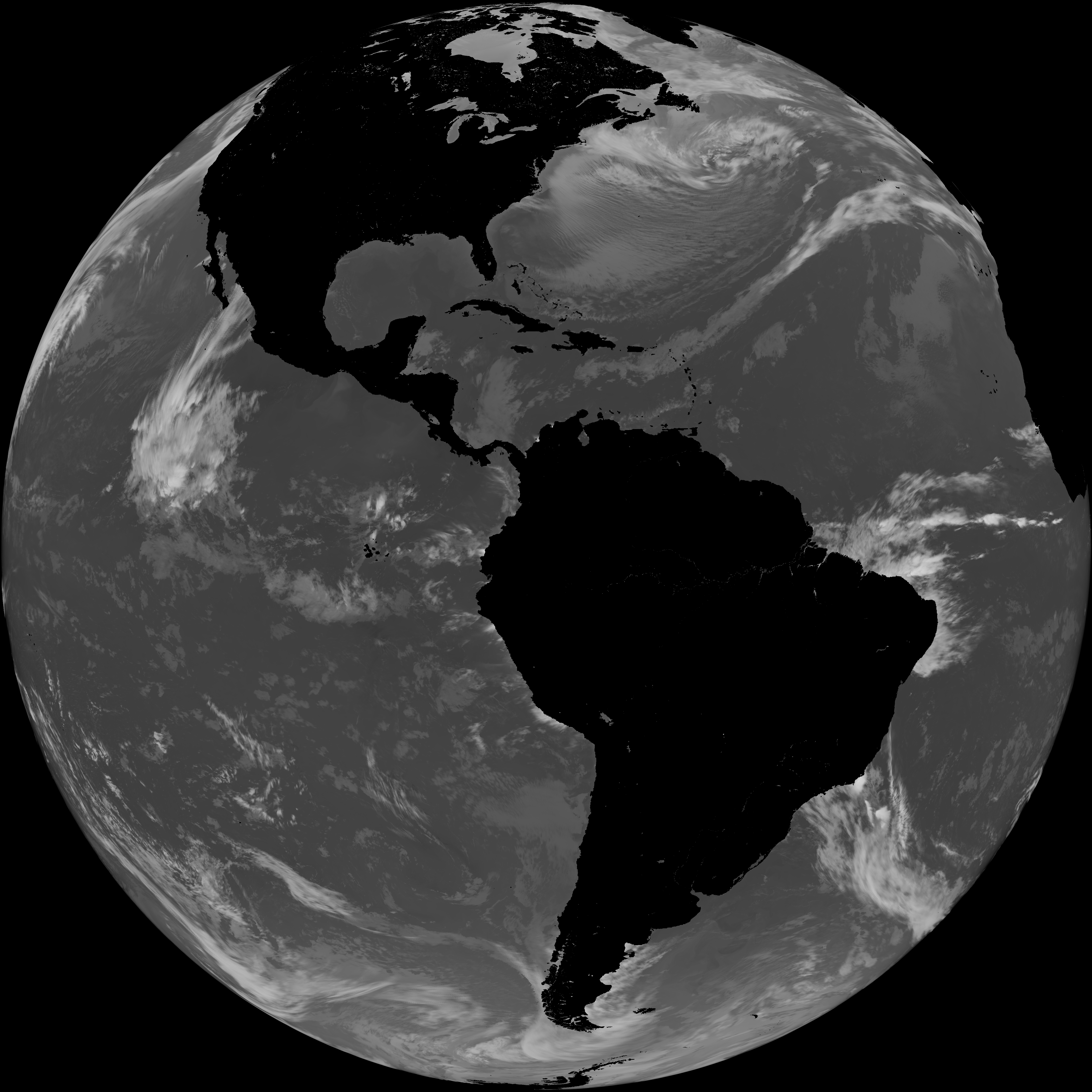
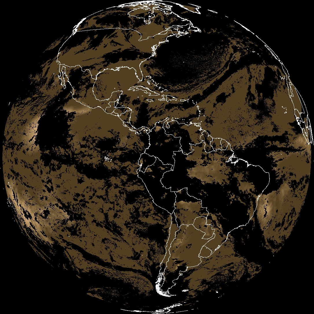
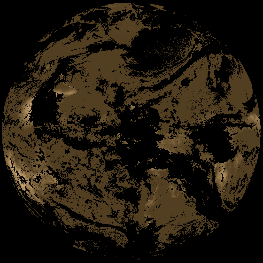
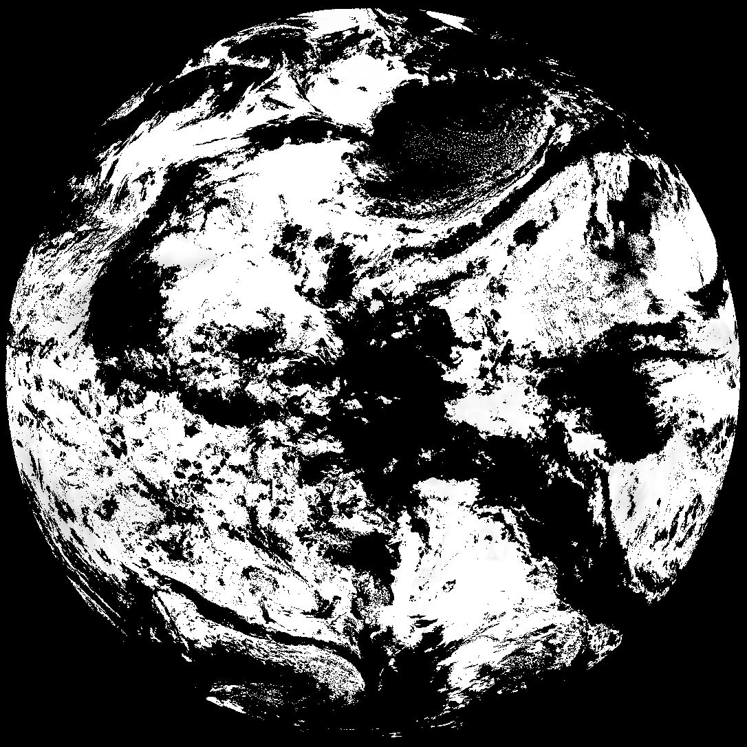
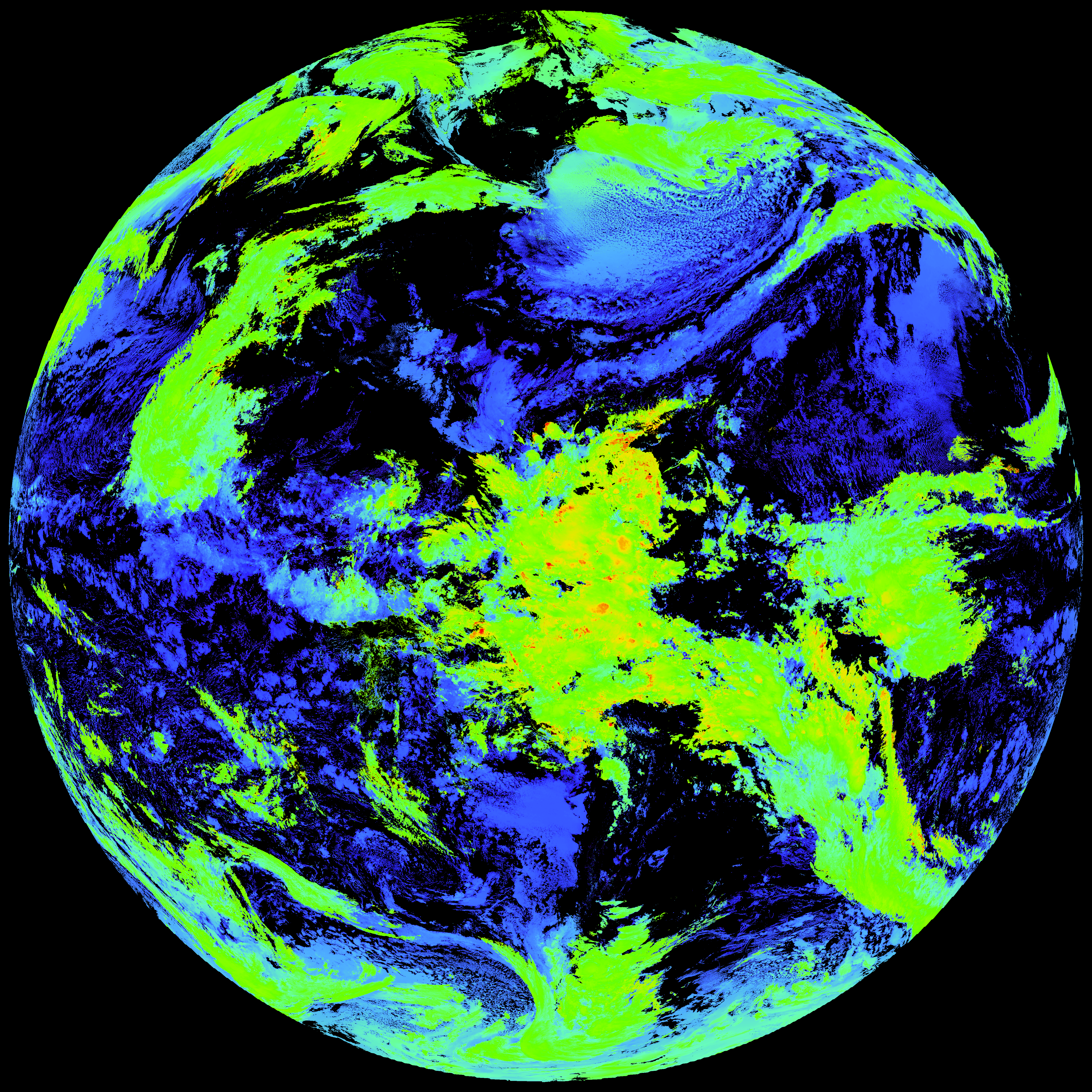
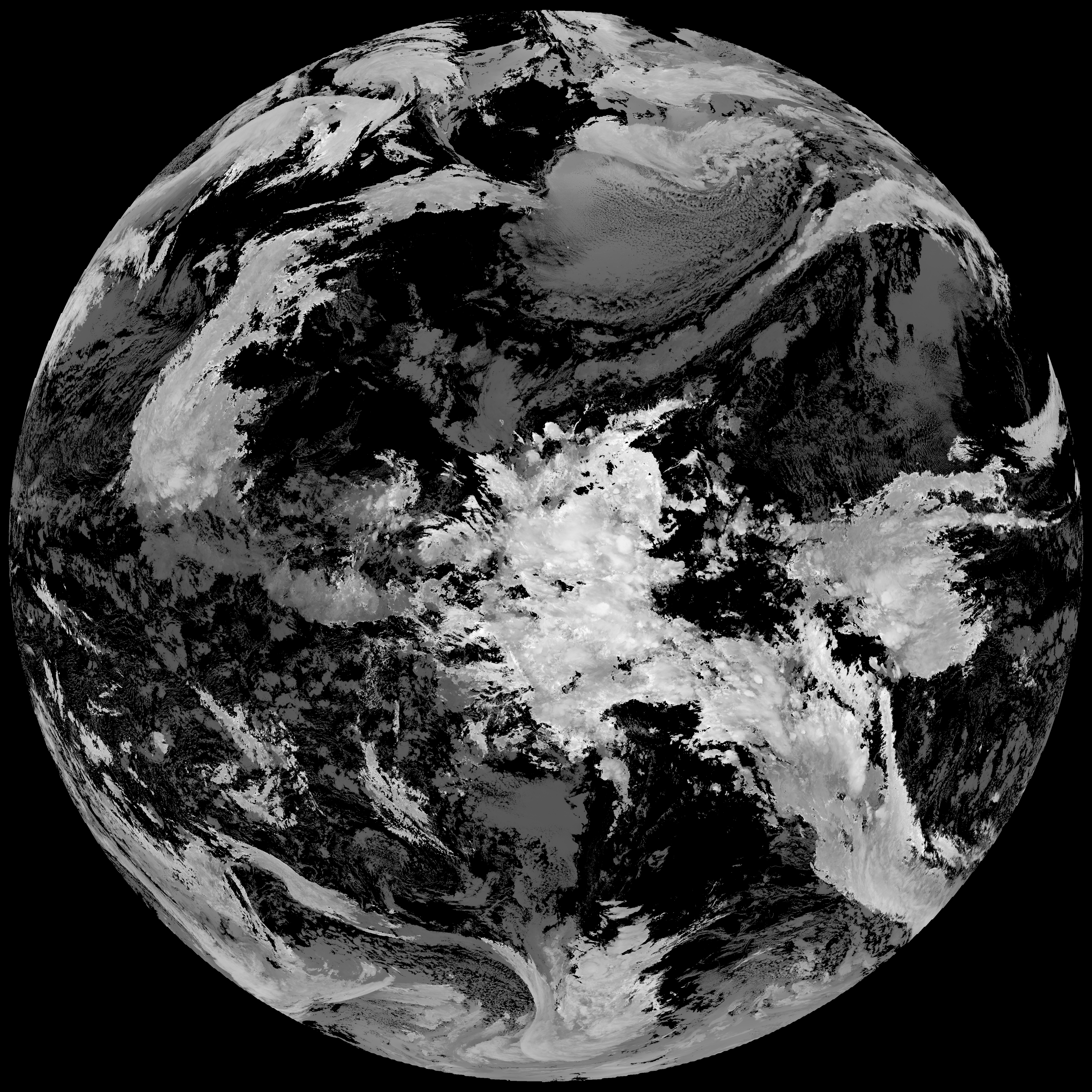
Quicklook renderings of ABI Level-2 geophysical fields. Each timestamp mirrors an imagery folder and includes a product.cbor metadata file.
ACHT/ACHA), Derived Stability Indices (DSI), Total Precipitable Water (TPW), Rain Rate/QPE (RRQPE).SST/LST).G19_TPW_YYYYMMDDThhmmssZ.png with matching abi_rgb_* composites.The accompanying product.cbor files contain projection details that map pixels to Earth coordinates and physical units.
| File Name ↓ | File Size ↓ | Date ↓ |
|---|---|---|
| Parent directory/ | - | - |
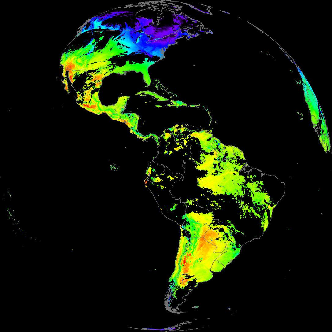
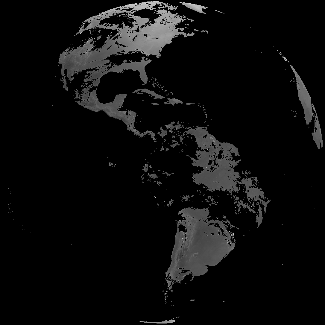
| abi_rgb_Land_Surface_Temperature_map.png | 151169 | 2026-Feb-08 23:12 |
| product.cbor | 621 | 2026-Feb-08 23:12 |
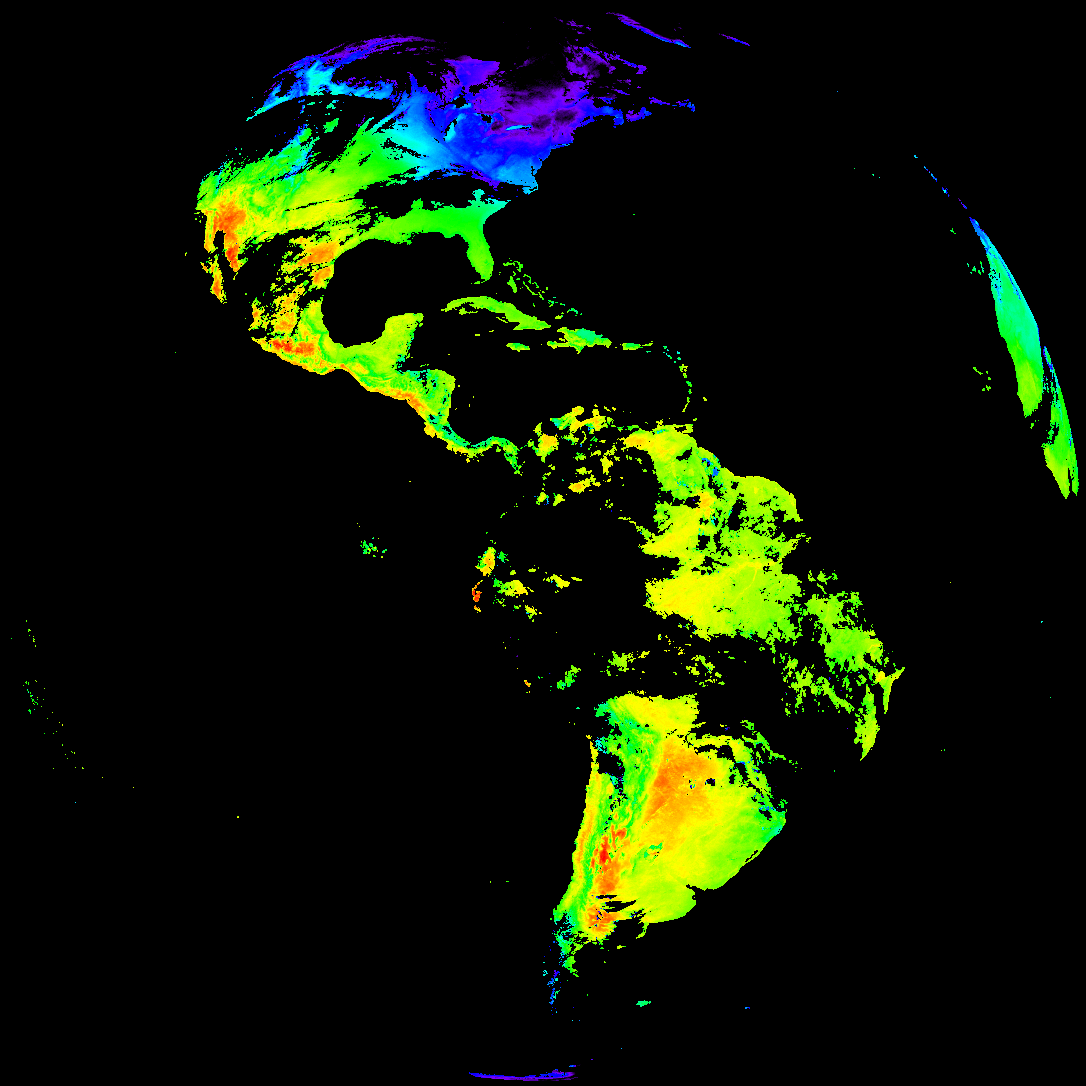
| G19_LST_20260208T220020Z.png | 112098 | 2026-Feb-08 23:12 |
| abi_rgb_Land_Surface_Temperature.png | 142467 | 2026-Feb-08 23:12 |
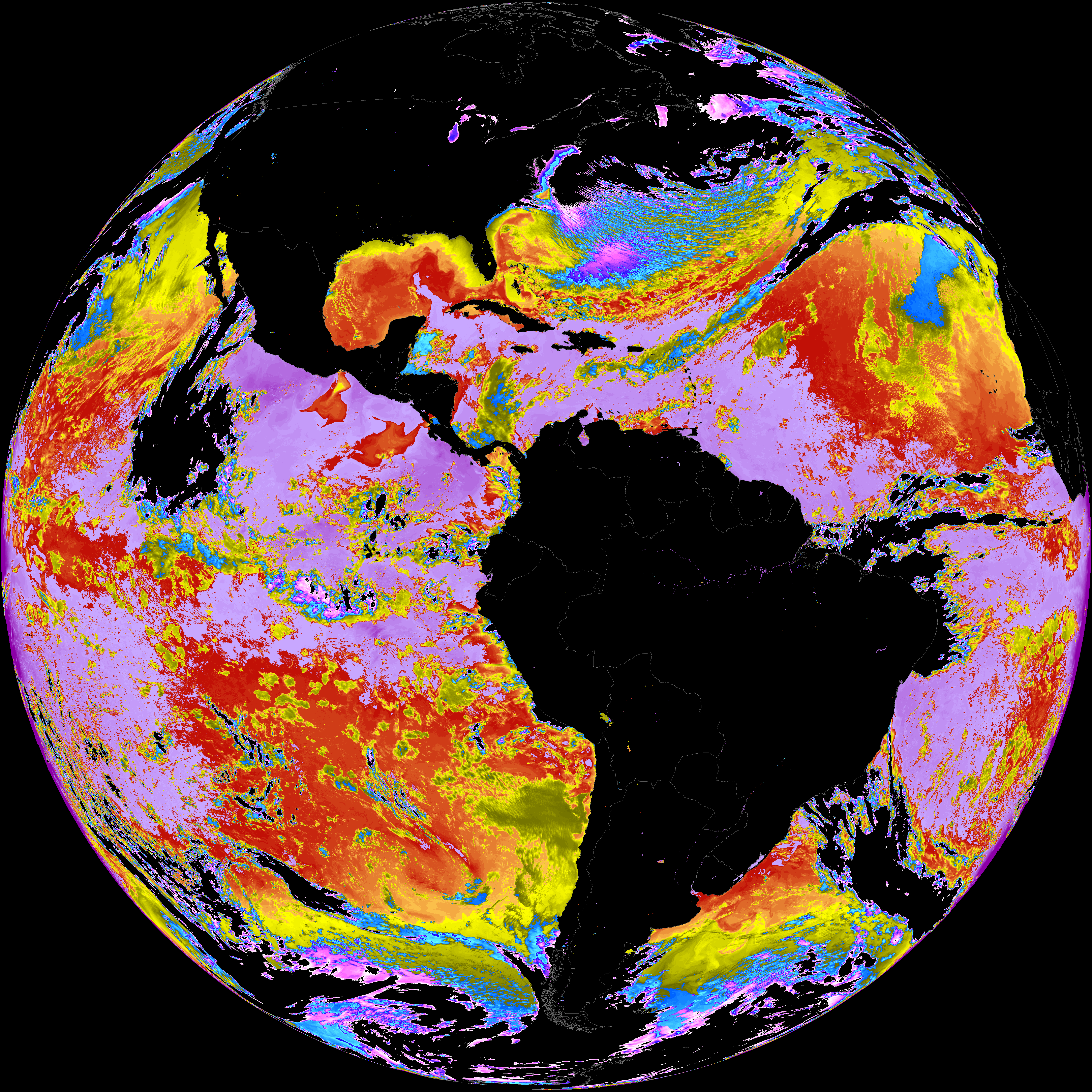
| abi_rgb_Sea_Surface_Temperature_map.png | 7643934 | 2026-Feb-08 23:08 |
| abi_rgb_Sea_Surface_Temperature.png | 7531625 | 2026-Feb-08 23:08 |
| G19_SST_20260208T220020Z.png | 7539451 | 2026-Feb-08 23:08 |
| abi_rgb_Derived_Stability_Indices_-_CAPE_map.png | 187721 | 2026-Feb-08 22:35 |
| abi_rgb_Derived_Stability_Indices_-_CAPE.png | 172294 | 2026-Feb-08 22:35 |
| G19_DSI_20260208T220020Z.png | 128814 | 2026-Feb-08 22:35 |
| abi_rgb_Cloud_top_Temperature_(ACHT)_map.png | 15441159 | 2026-Feb-08 22:35 |
| abi_rgb_Cloud_top_Temperature_(ACHT).png | 15358932 | 2026-Feb-08 22:35 |
| G19_ACHT_20260208T220020Z.png | 11407772 | 2026-Feb-08 22:35 |