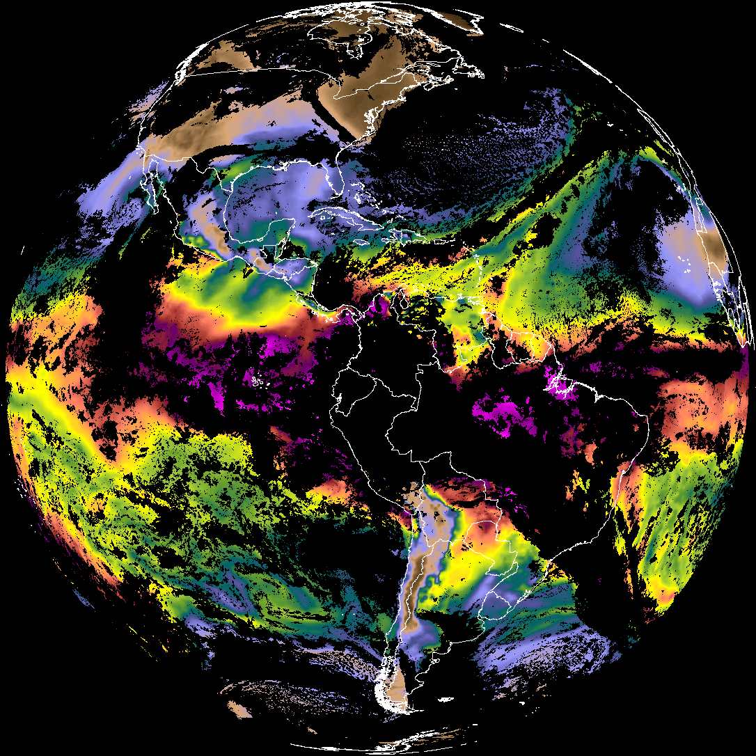
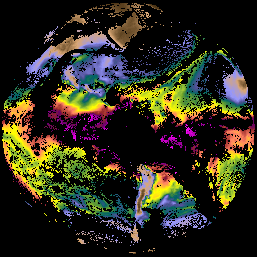
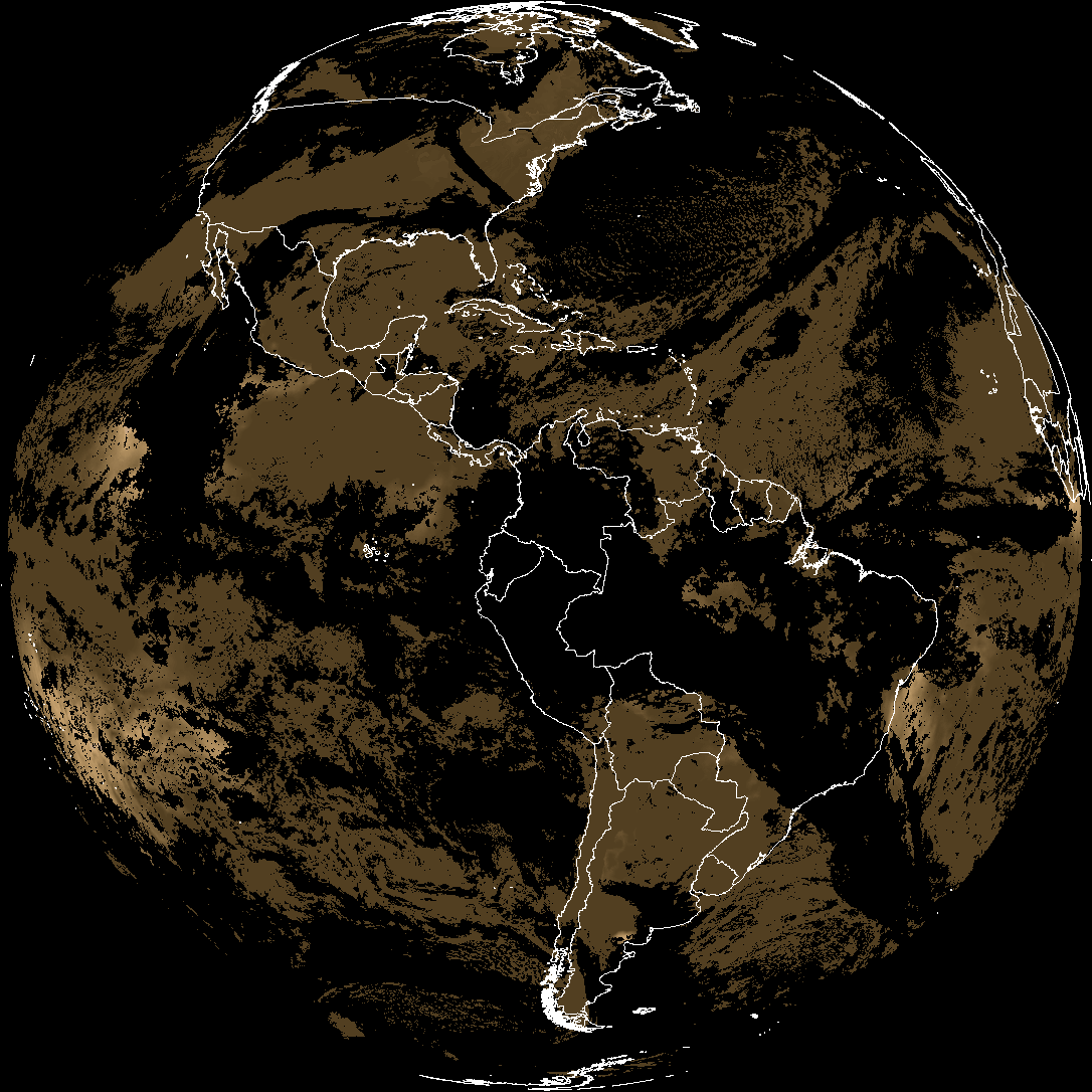
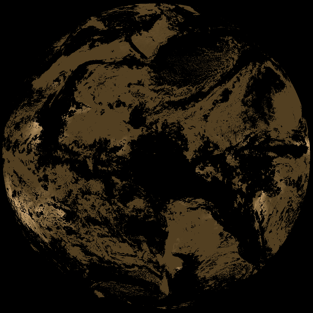
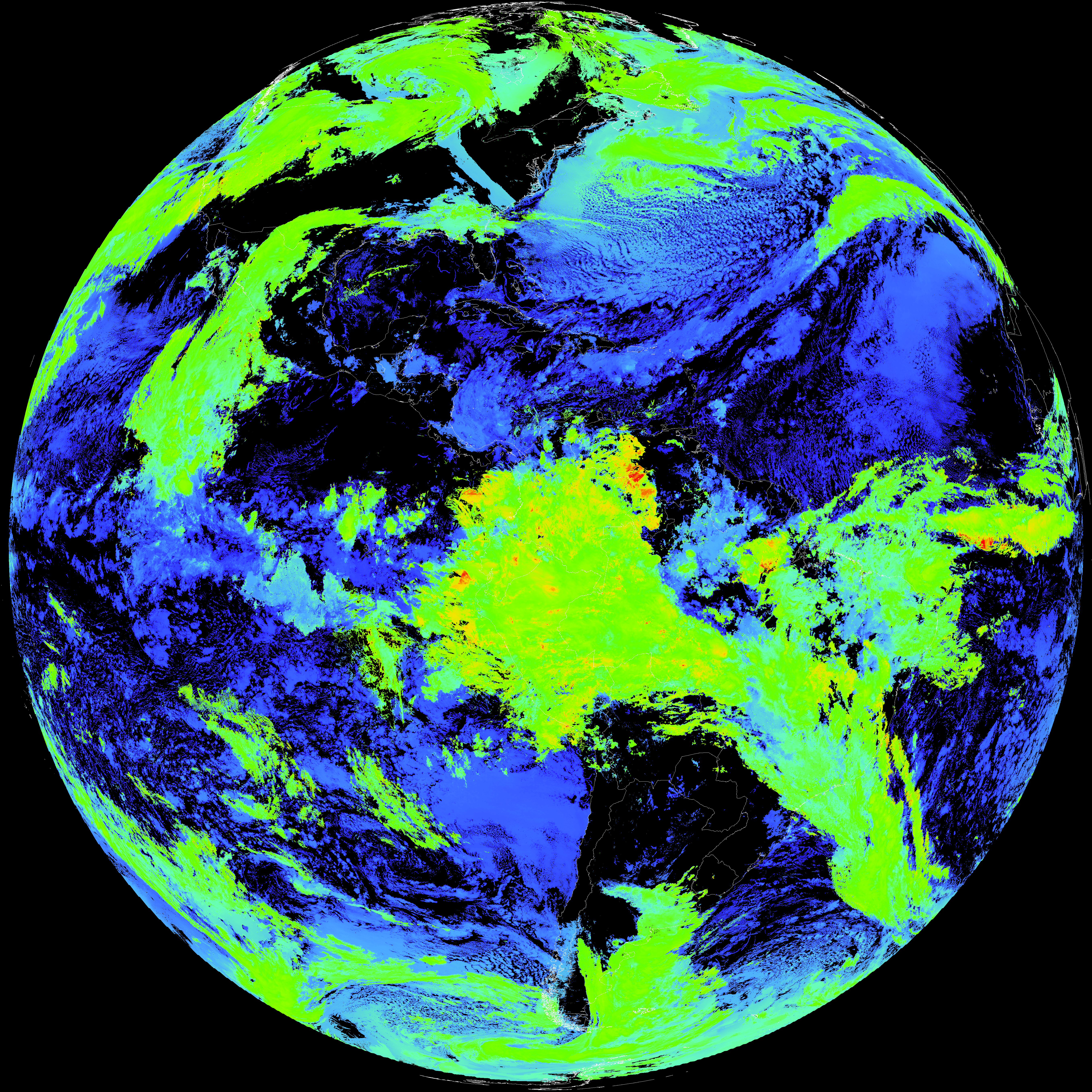
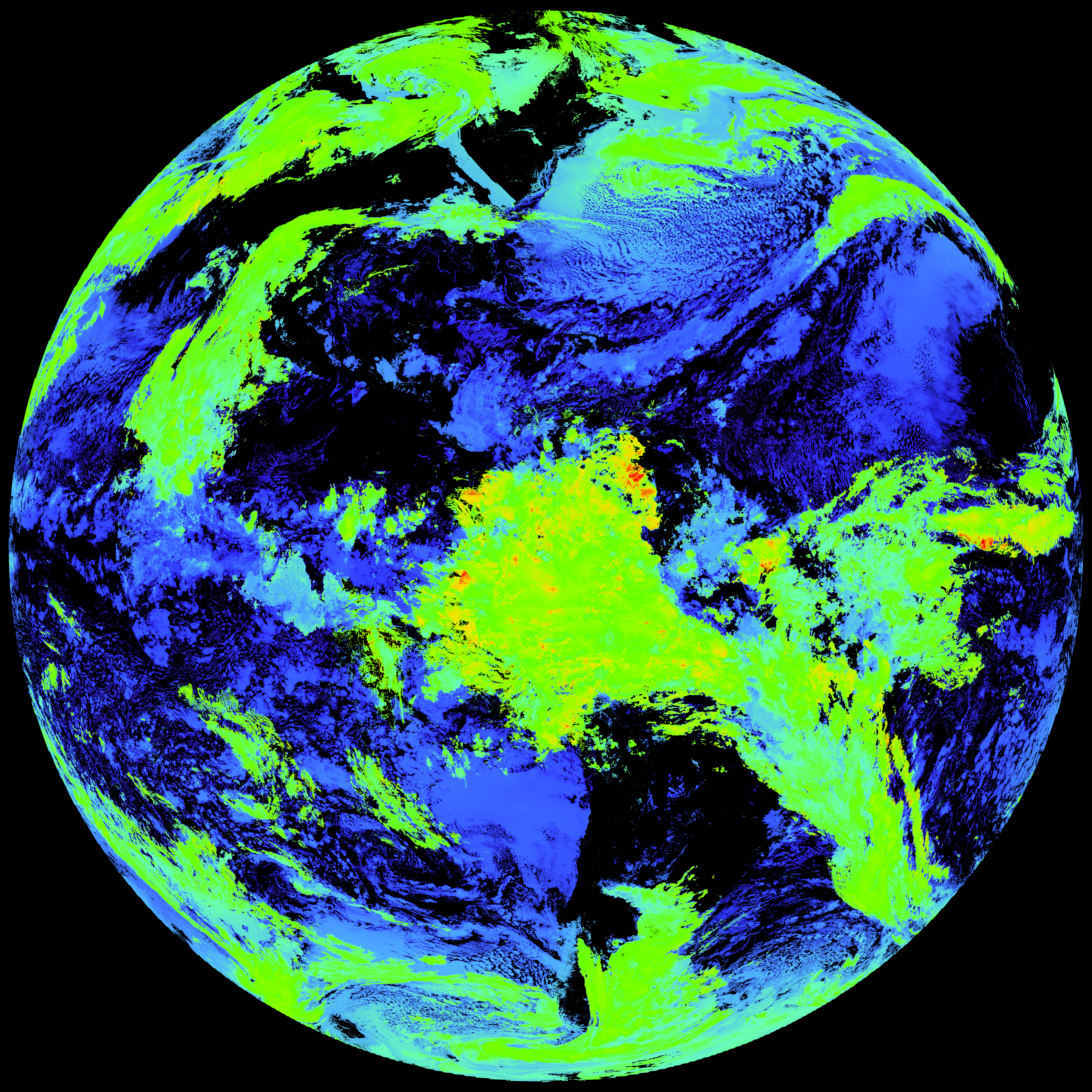
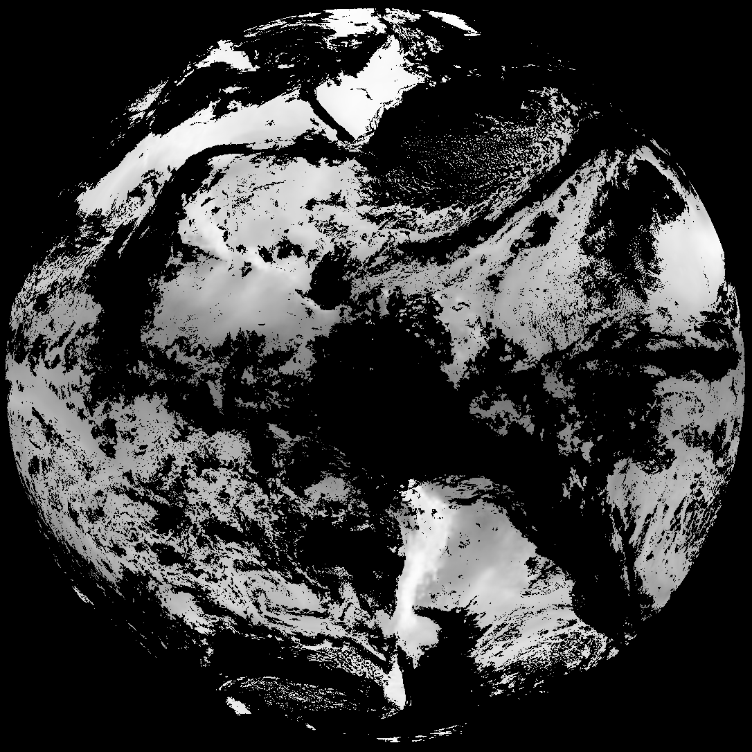
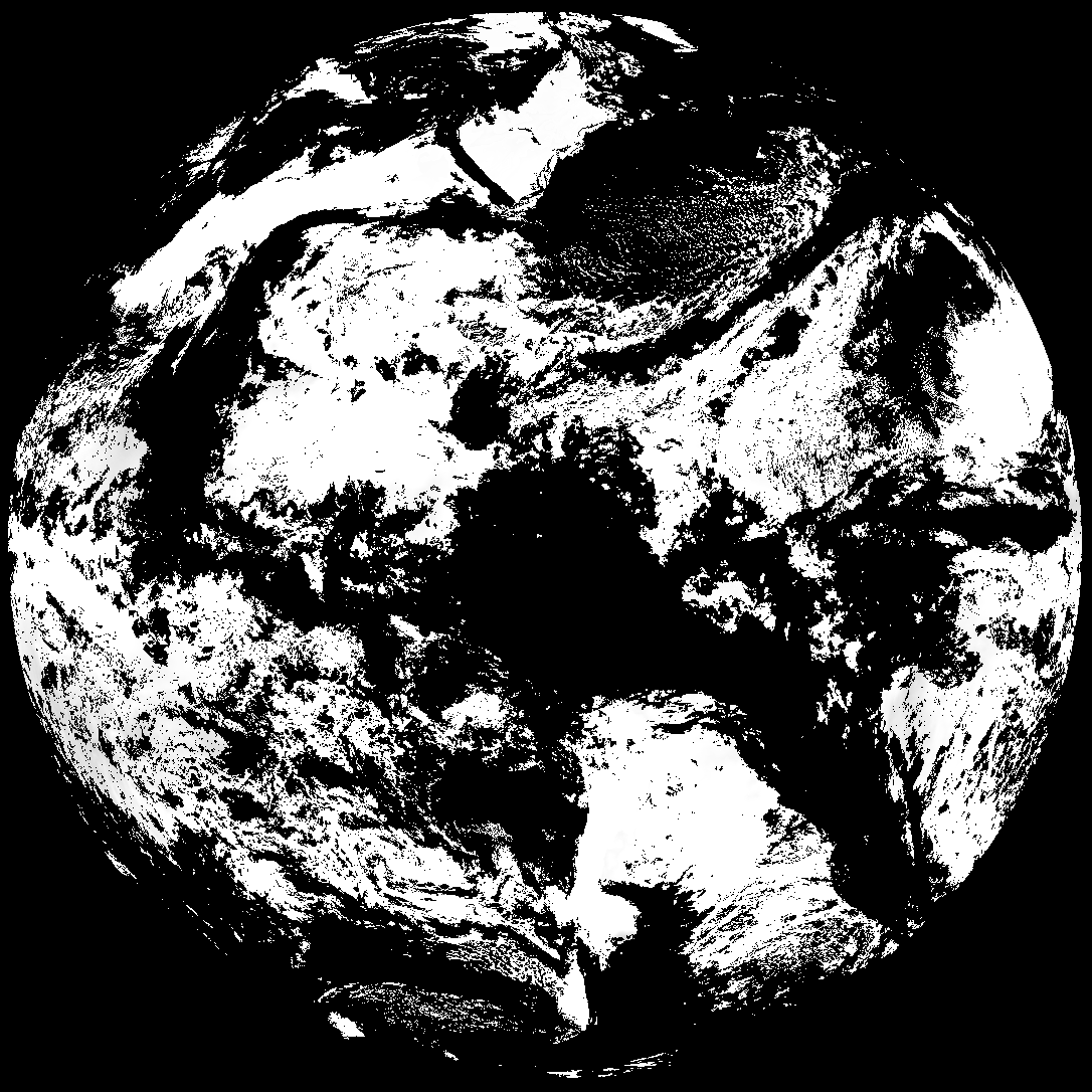
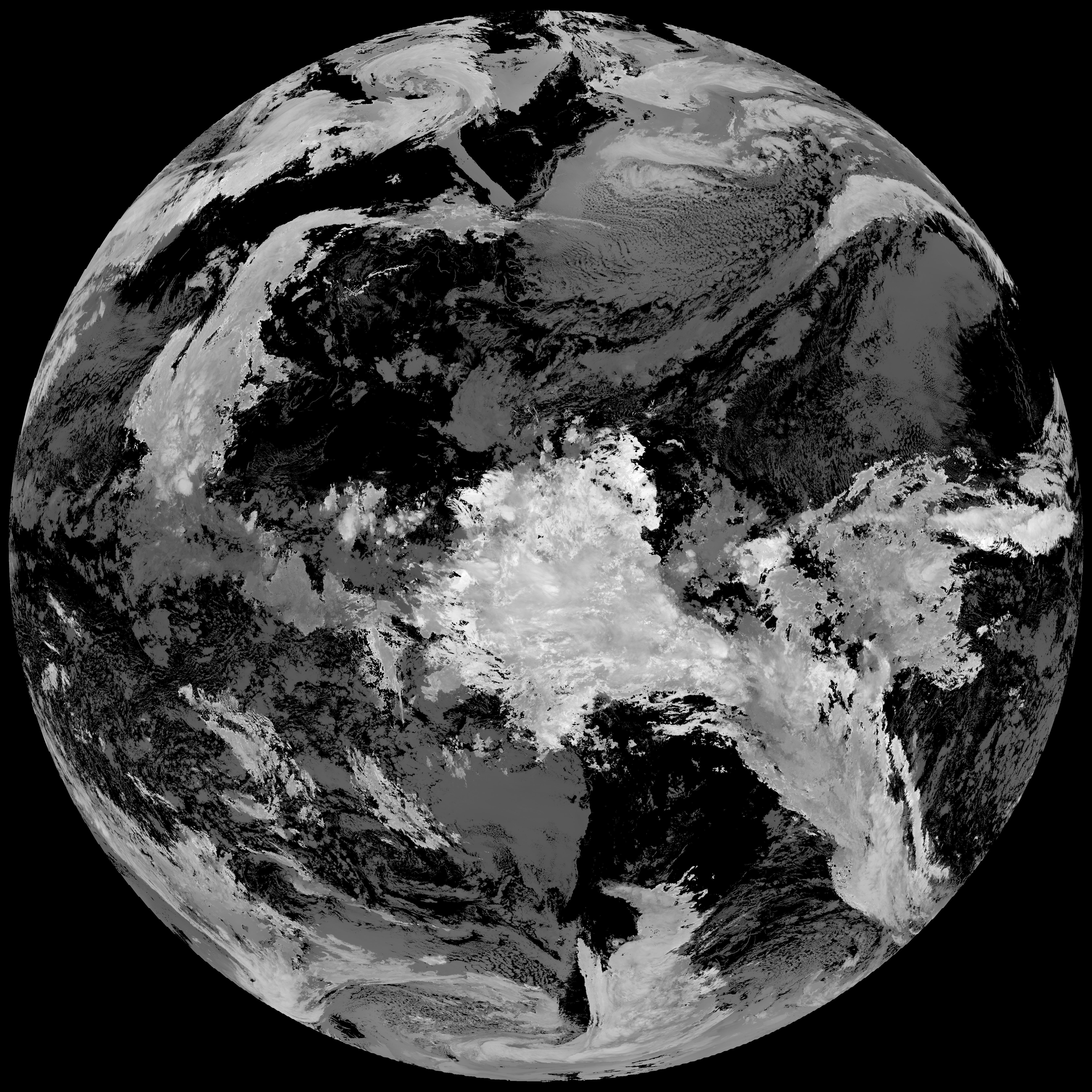
Quicklook renderings of ABI Level-2 geophysical fields. Each timestamp mirrors an imagery folder and includes a product.cbor metadata file.
ACHT/ACHA), Derived Stability Indices (DSI), Total Precipitable Water (TPW), Rain Rate/QPE (RRQPE).SST/LST).G19_TPW_YYYYMMDDThhmmssZ.png with matching abi_rgb_* composites.The accompanying product.cbor files contain projection details that map pixels to Earth coordinates and physical units.
| File Name ↓ | File Size ↓ | Date ↓ |
|---|---|---|
| Parent directory/ | - | - |
| product.cbor | 554 | 2026-Feb-09 07:32 |
| abi_rgb_Total_Precipitable_Water_map.png | 315413 | 2026-Feb-09 07:27 |
| abi_rgb_Total_Precipitable_Water.png | 302647 | 2026-Feb-09 07:27 |
| abi_rgb_Derived_Stability_Indices_-_CAPE_map.png | 167133 | 2026-Feb-09 07:32 |
| abi_rgb_Derived_Stability_Indices_-_CAPE.png | 151339 | 2026-Feb-09 07:32 |
| abi_rgb_Cloud_top_Temperature_(ACHT)_map.png | 16279090 | 2026-Feb-09 07:32 |
| abi_rgb_Cloud_top_Temperature_(ACHT).png | 16197276 | 2026-Feb-09 07:32 |
| G19_TPW_20260209T070021Z.png | 231530 | 2026-Feb-09 07:27 |
| G19_DSI_20260209T070021Z.png | 113588 | 2026-Feb-09 07:32 |
| G19_ACHT_20260209T070021Z.png | 12086838 | 2026-Feb-09 07:32 |