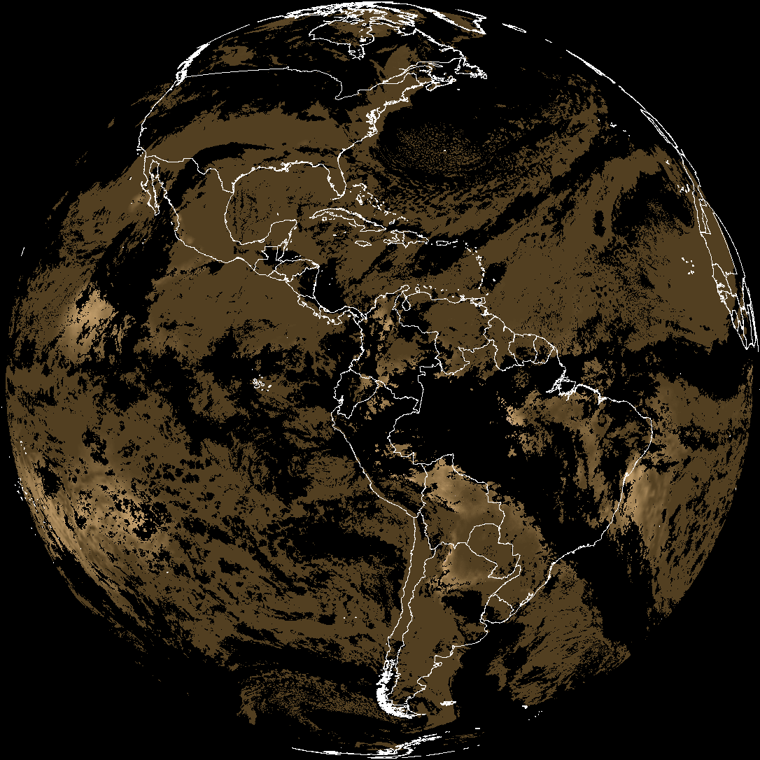
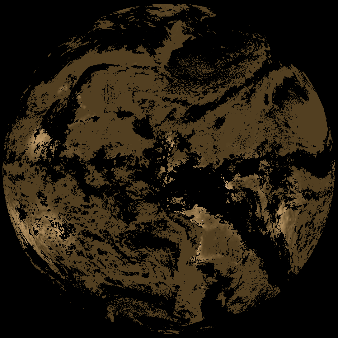
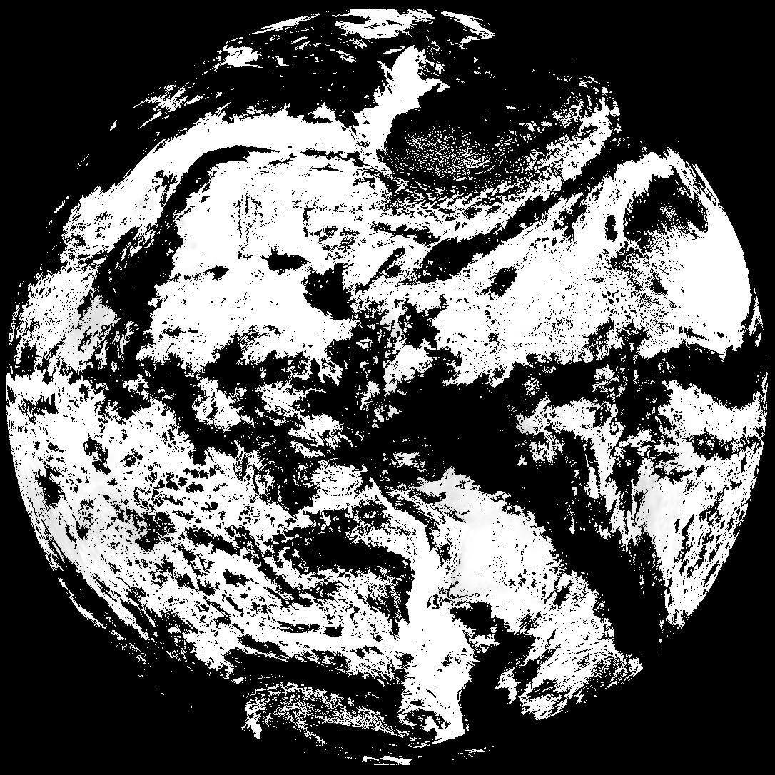
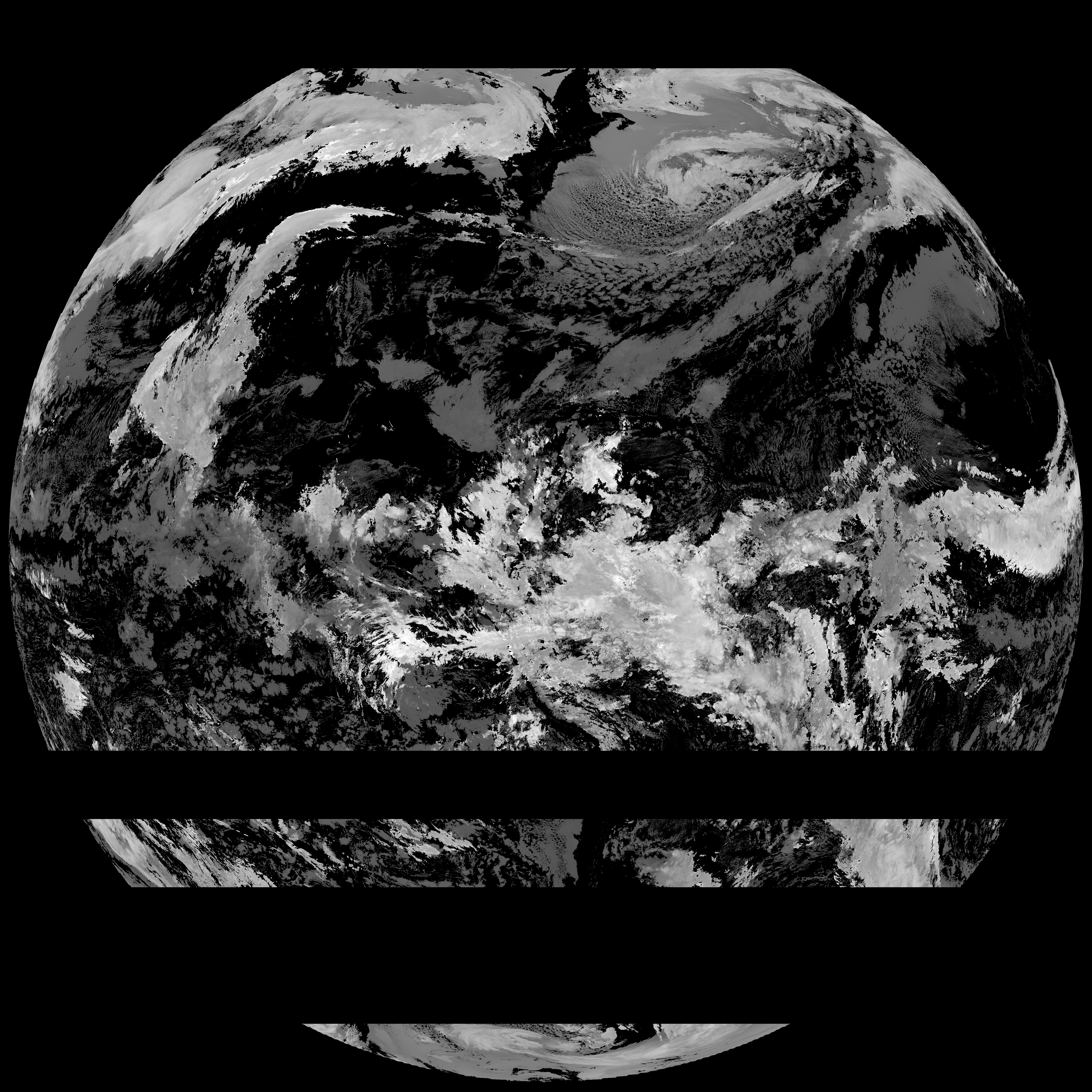
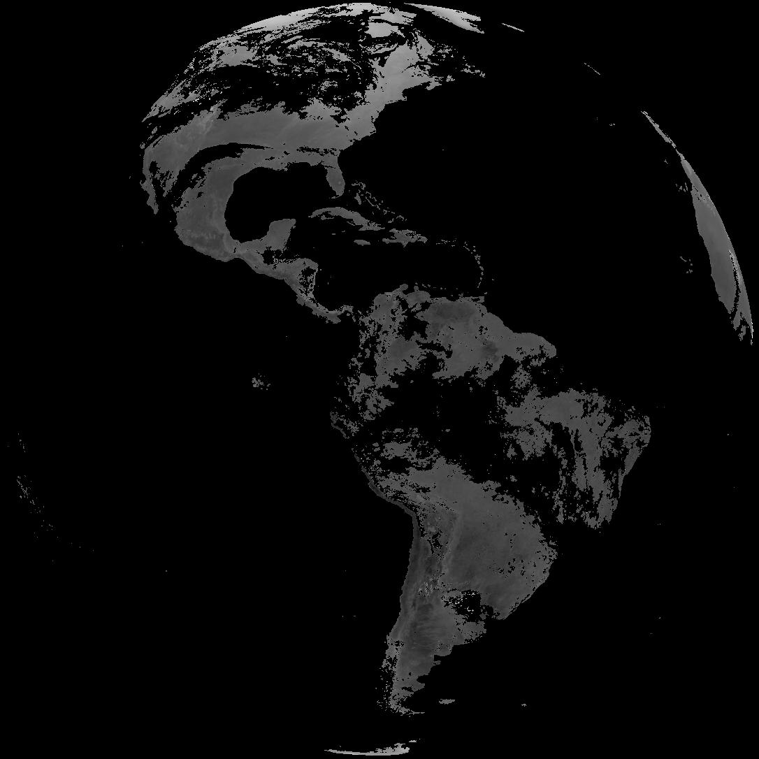
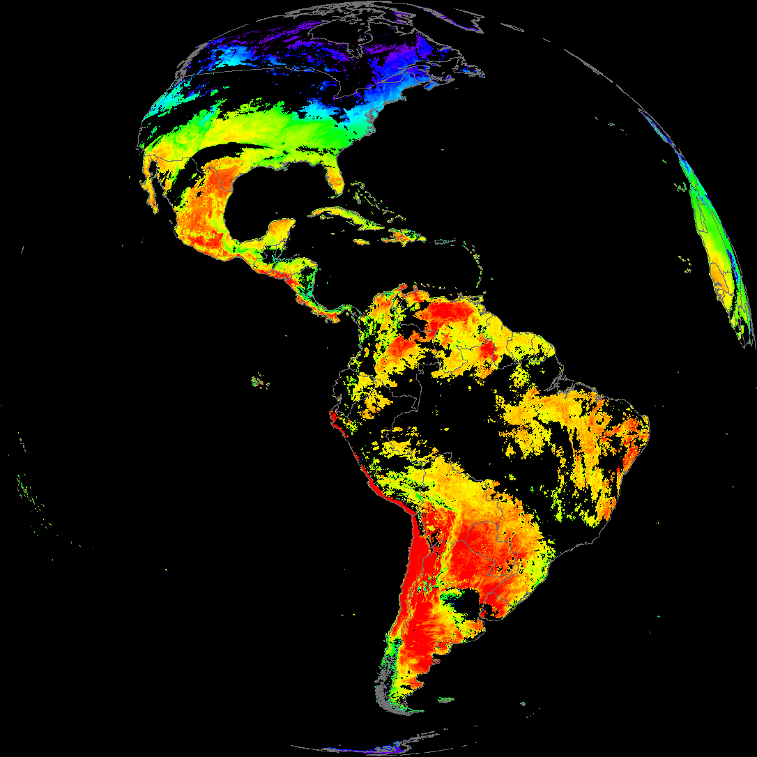
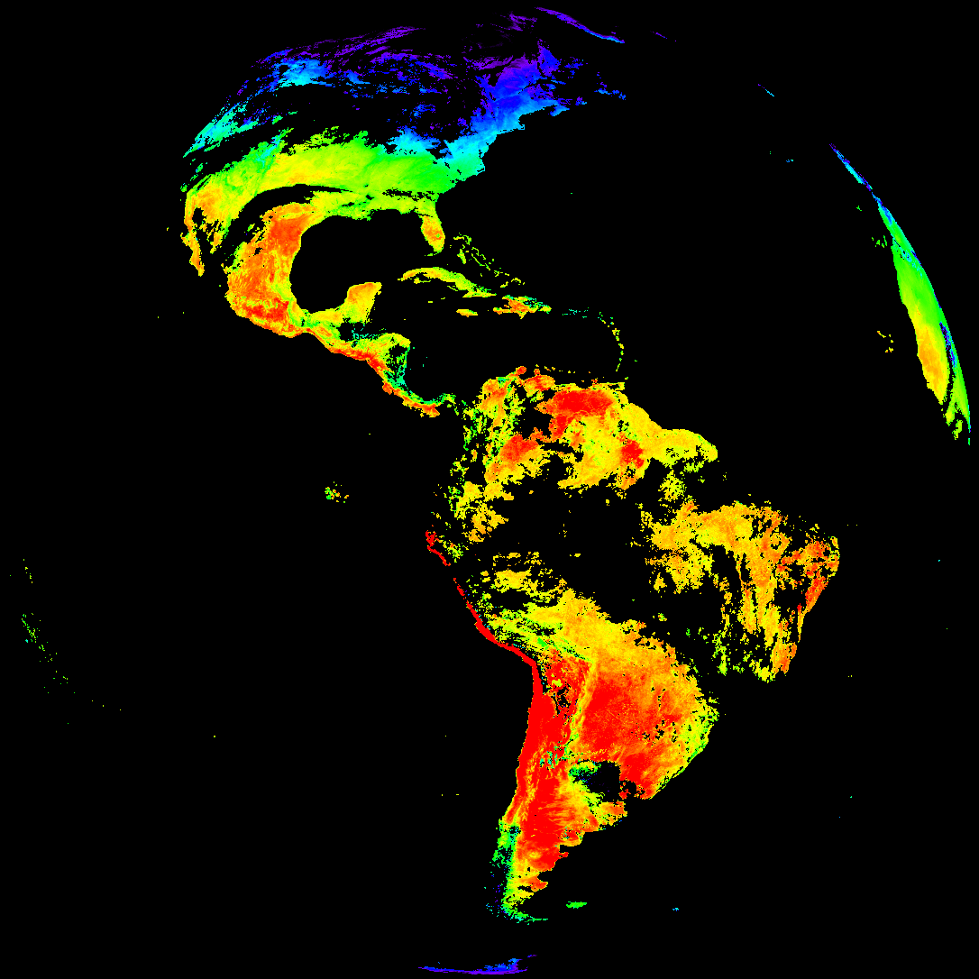
Quicklook renderings of ABI Level-2 geophysical fields. Each timestamp mirrors an imagery folder and includes a product.cbor metadata file.
ACHT/ACHA), Derived Stability Indices (DSI), Total Precipitable Water (TPW), Rain Rate/QPE (RRQPE).SST/LST).G19_TPW_YYYYMMDDThhmmssZ.png with matching abi_rgb_* composites.The accompanying product.cbor files contain projection details that map pixels to Earth coordinates and physical units.
| File Name ↓ | File Size ↓ | Date ↓ |
|---|---|---|
| Parent directory/ | - | - |
| abi_rgb_Derived_Stability_Indices_-_CAPE_map.png | 198929 | 2026-Feb-09 18:40 |
| abi_rgb_Derived_Stability_Indices_-_CAPE.png | 183594 | 2026-Feb-09 18:40 |
| G19_DSI_20260209T180020Z.png | 137714 | 2026-Feb-09 18:40 |
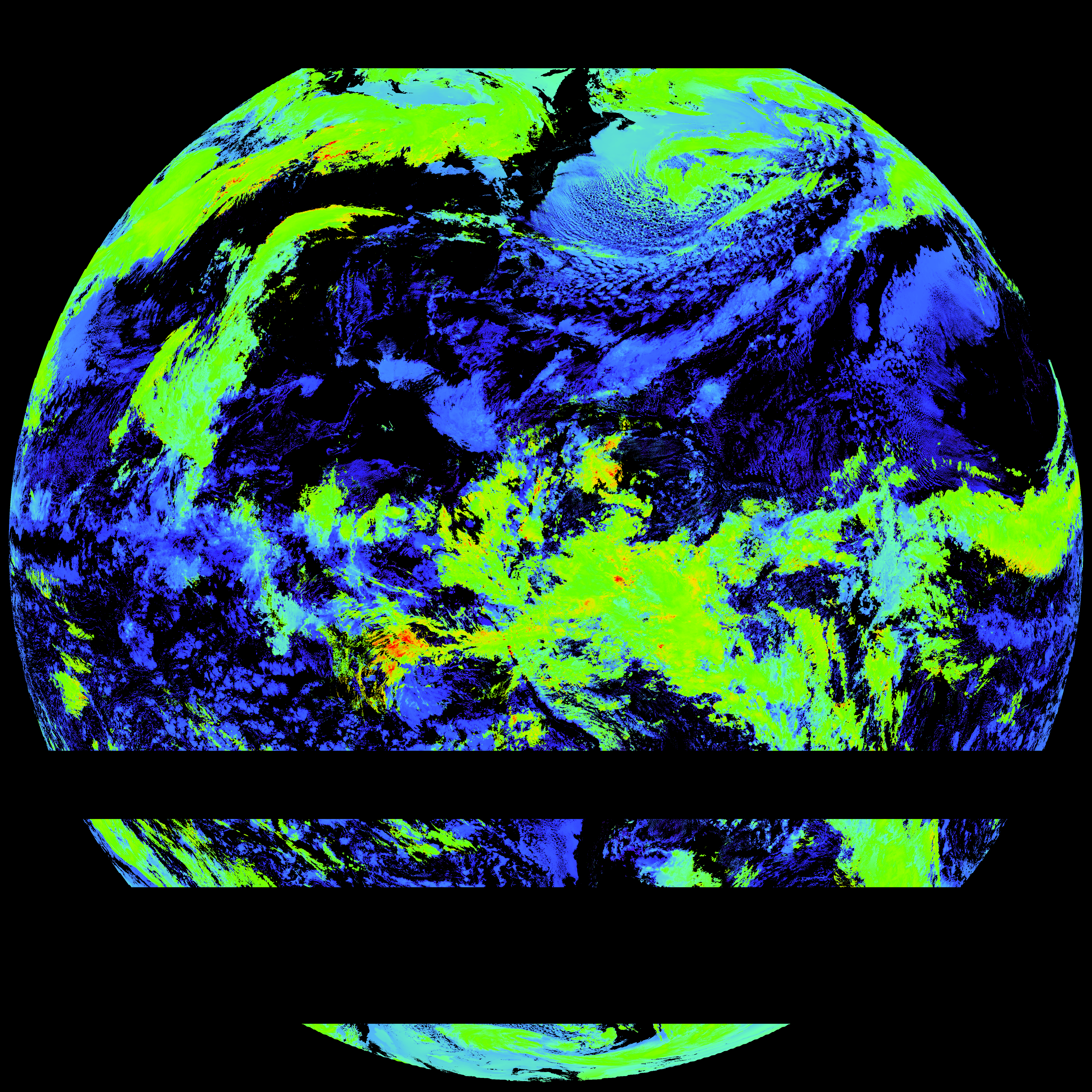
| G19_ACHT_20260209T180020Z.png | 9188662 | 2026-Feb-09 19:06 |
| abi_rgb_Cloud_top_Temperature_(ACHT).png | 12443055 | 2026-Feb-09 19:06 |
| abi_rgb_Cloud_top_Temperature_(ACHT)_map.png | 12547884 | 2026-Feb-09 19:06 |
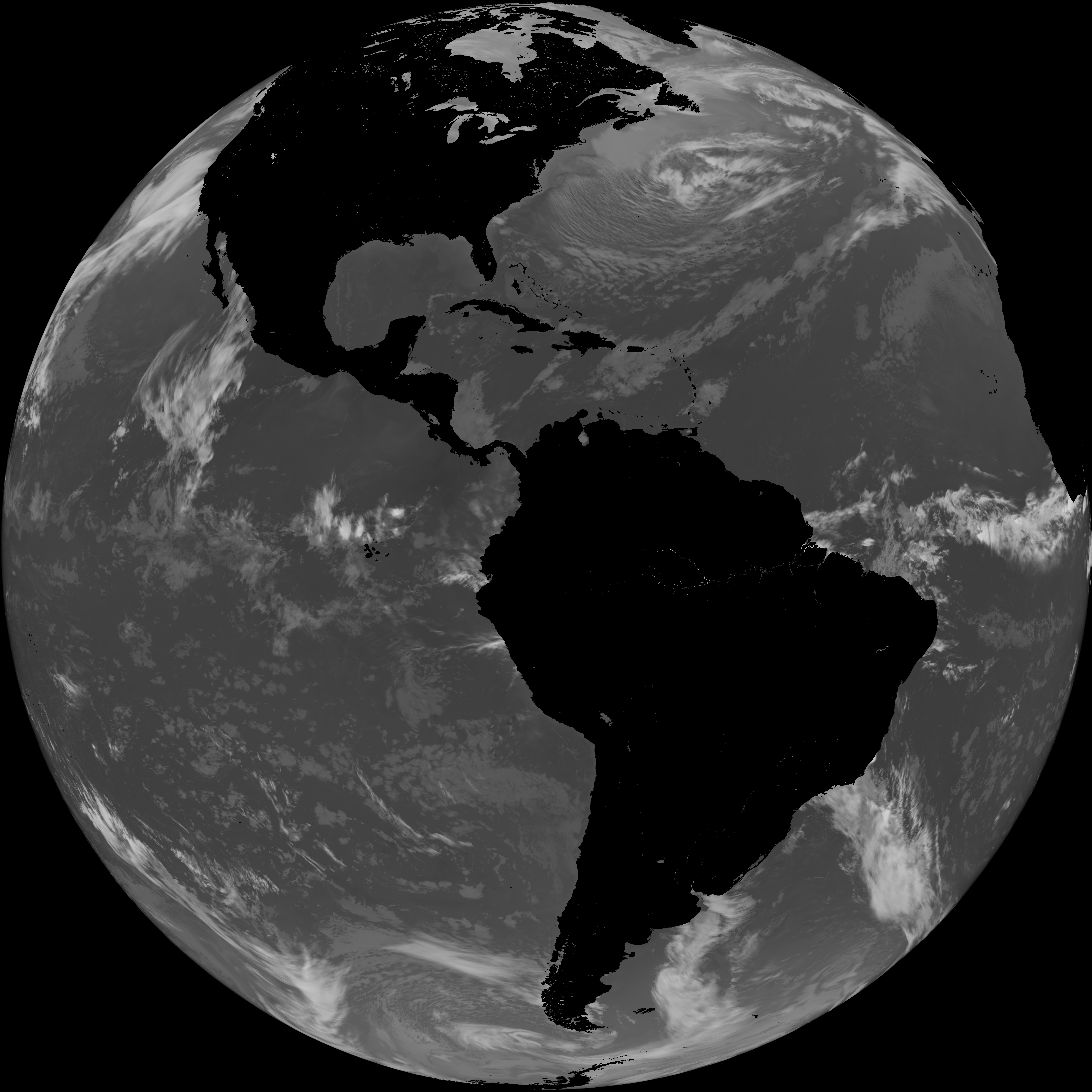
| G19_SST_20260209T180020Z.png | 7479099 | 2026-Feb-09 19:09 |
| abi_rgb_Sea_Surface_Temperature.png | 7621711 | 2026-Feb-09 19:09 |
| abi_rgb_Sea_Surface_Temperature_map.png | 7725078 | 2026-Feb-09 19:09 |
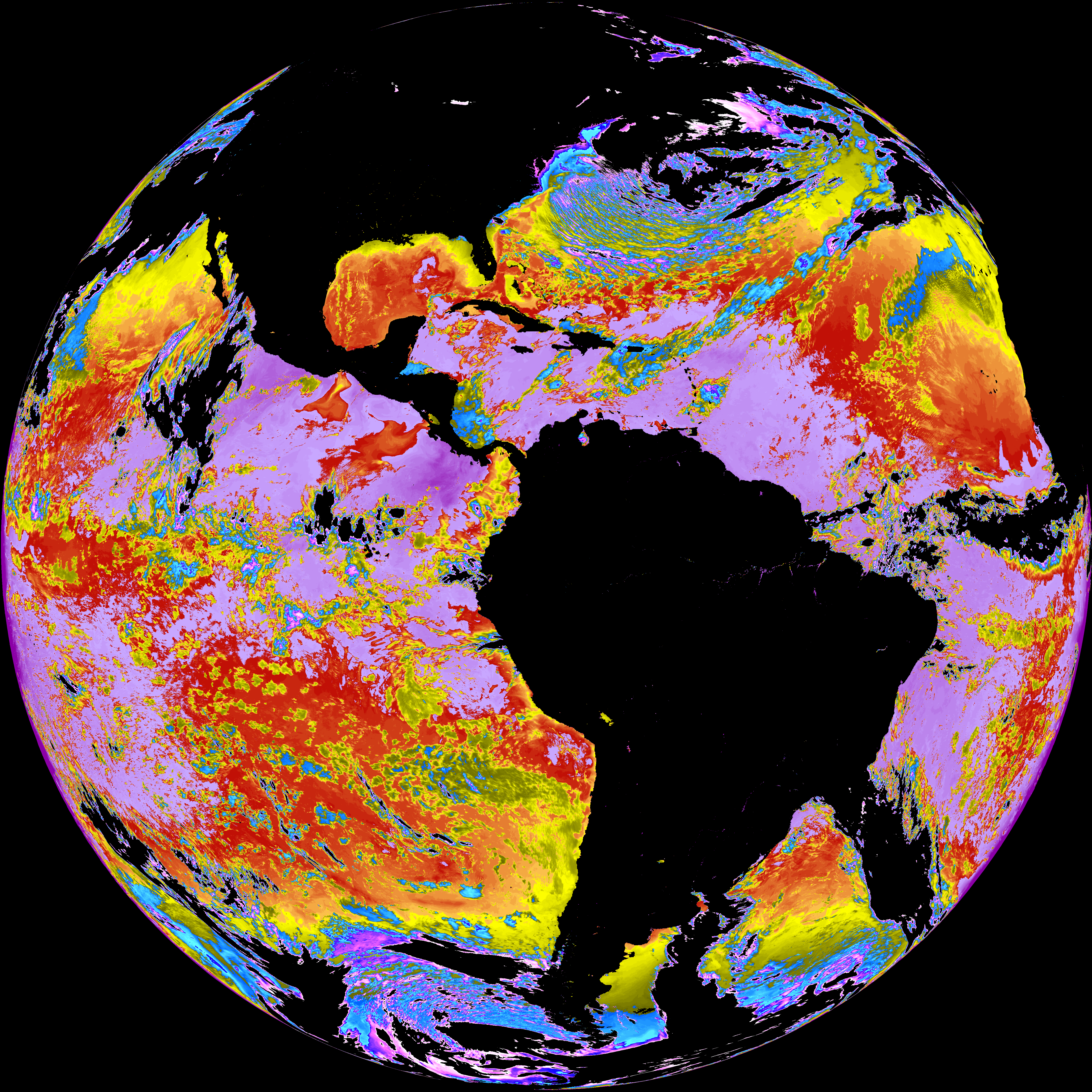
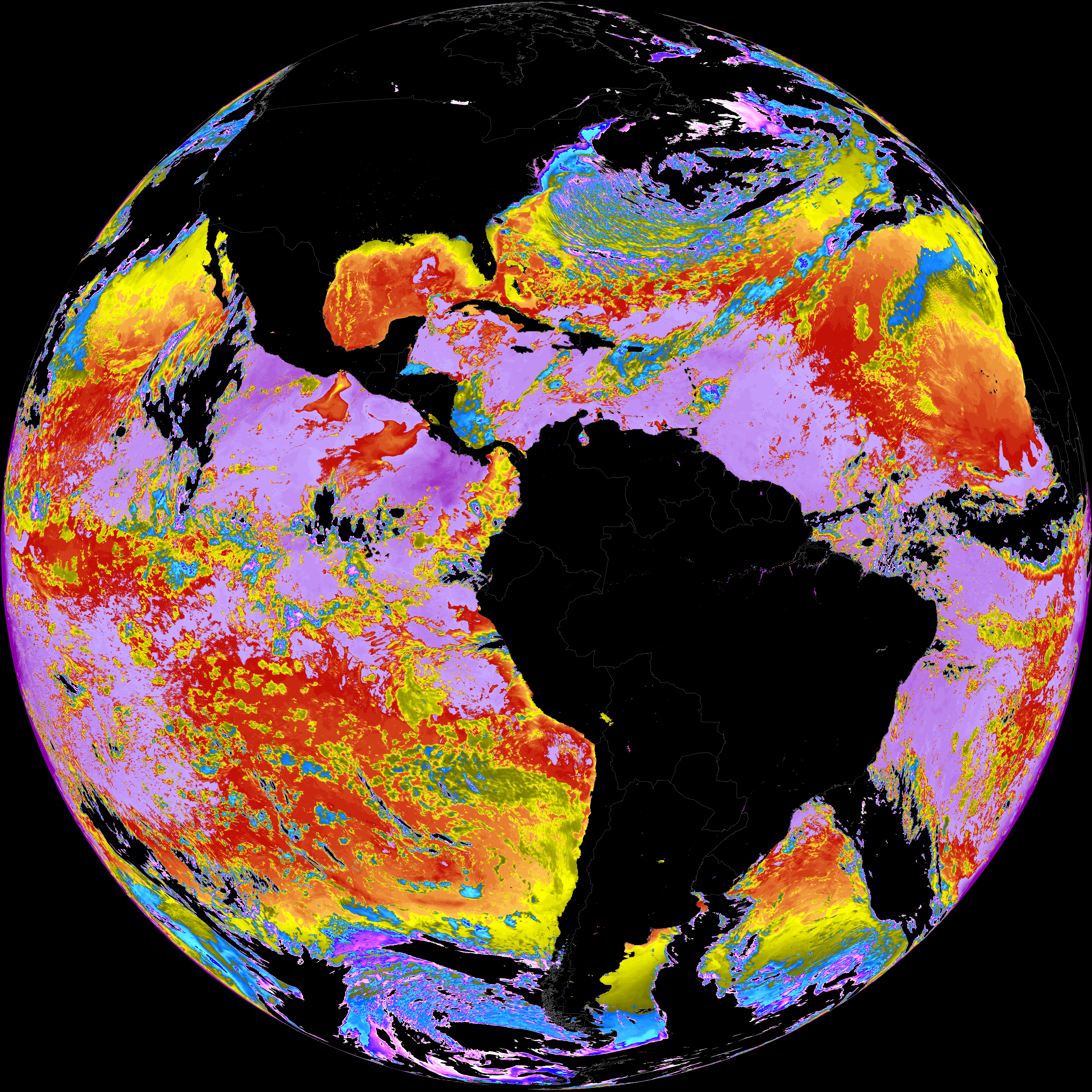
| G19_LST_20260209T180020Z.png | 132818 | 2026-Feb-09 19:12 |
| product.cbor | 621 | 2026-Feb-09 19:12 |
| abi_rgb_Land_Surface_Temperature_map.png | 173267 | 2026-Feb-09 19:12 |
| abi_rgb_Land_Surface_Temperature.png | 166884 | 2026-Feb-09 19:12 |