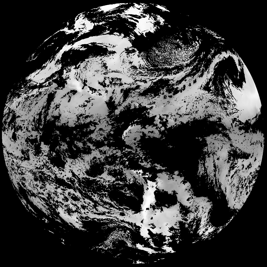
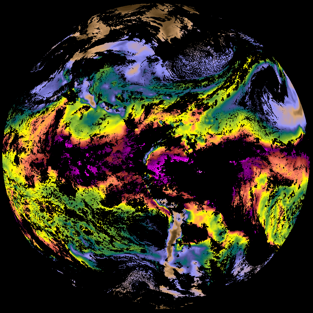
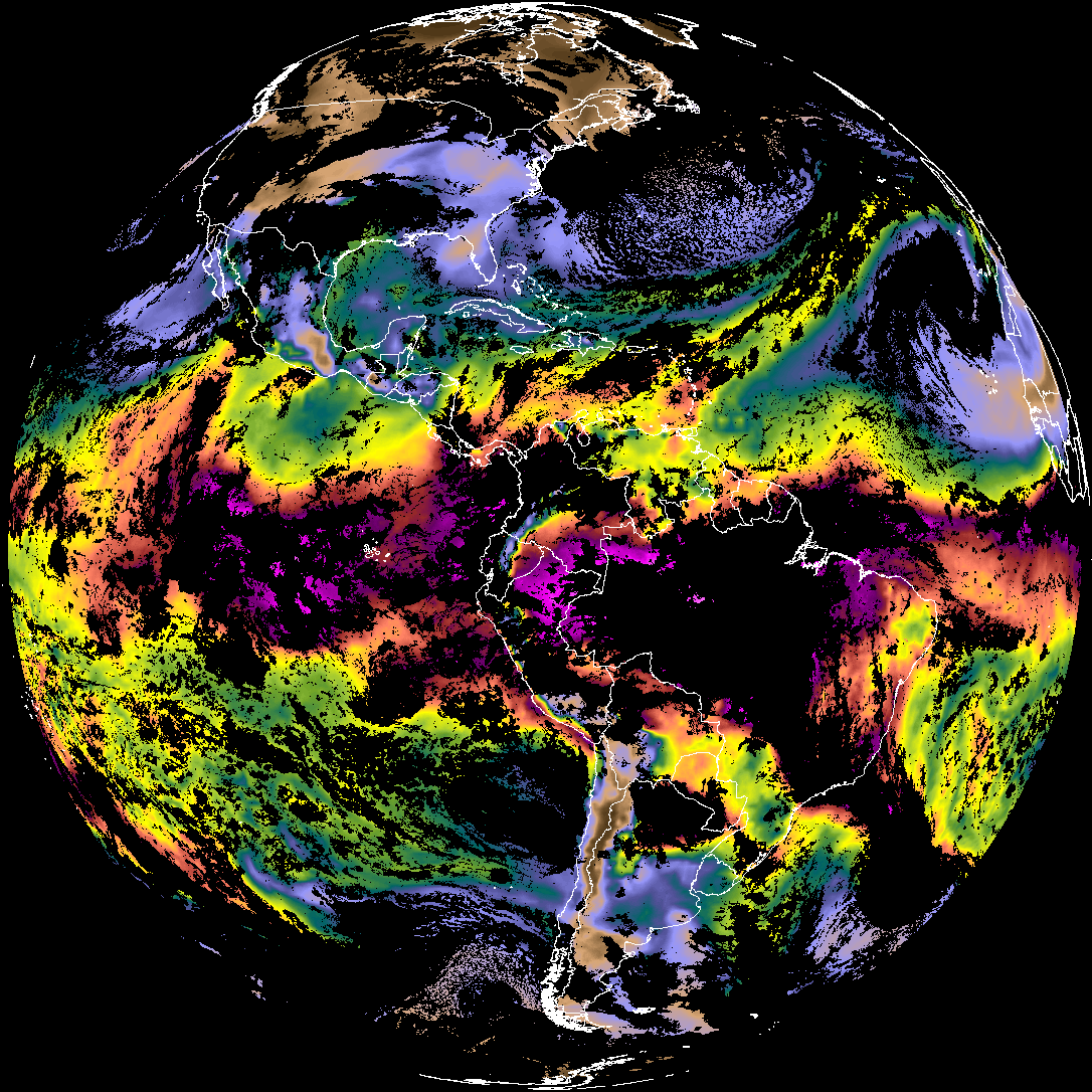
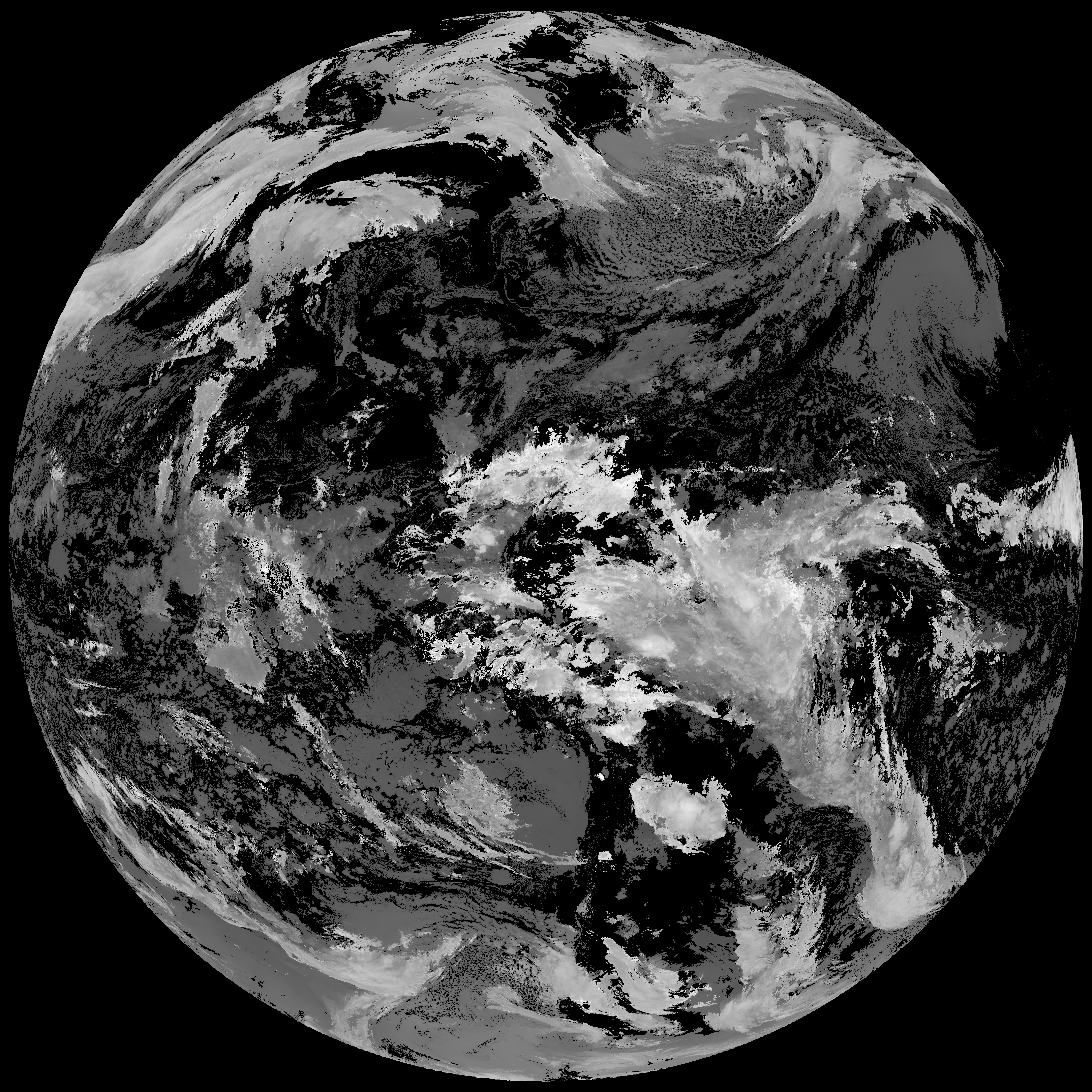
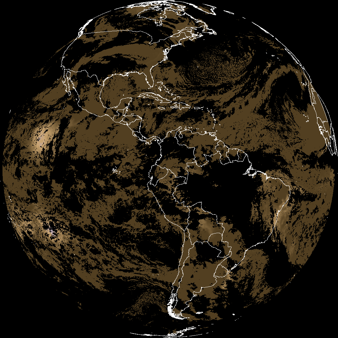
Quicklook renderings of ABI Level-2 geophysical fields. Each timestamp mirrors an imagery folder and includes a product.cbor metadata file.
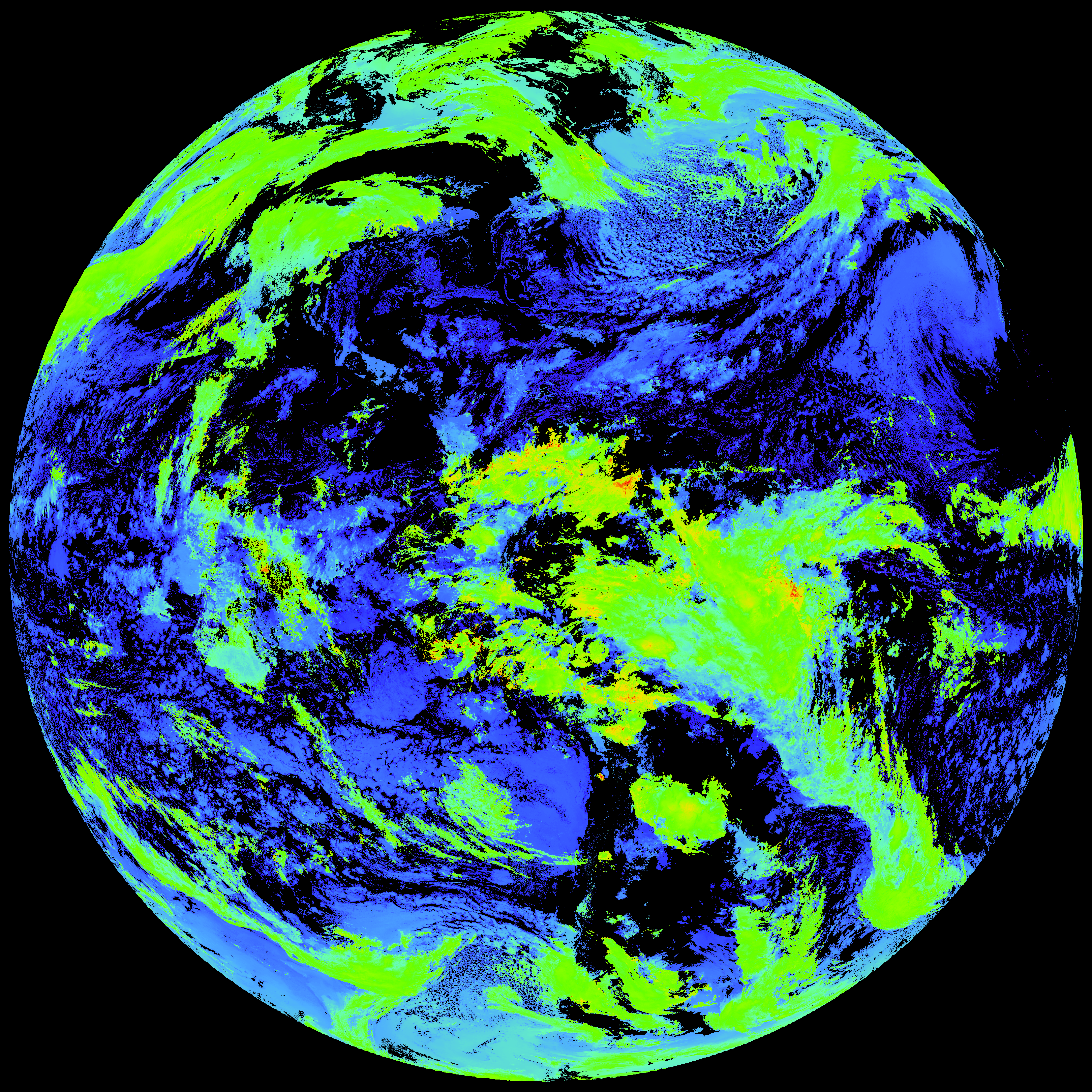
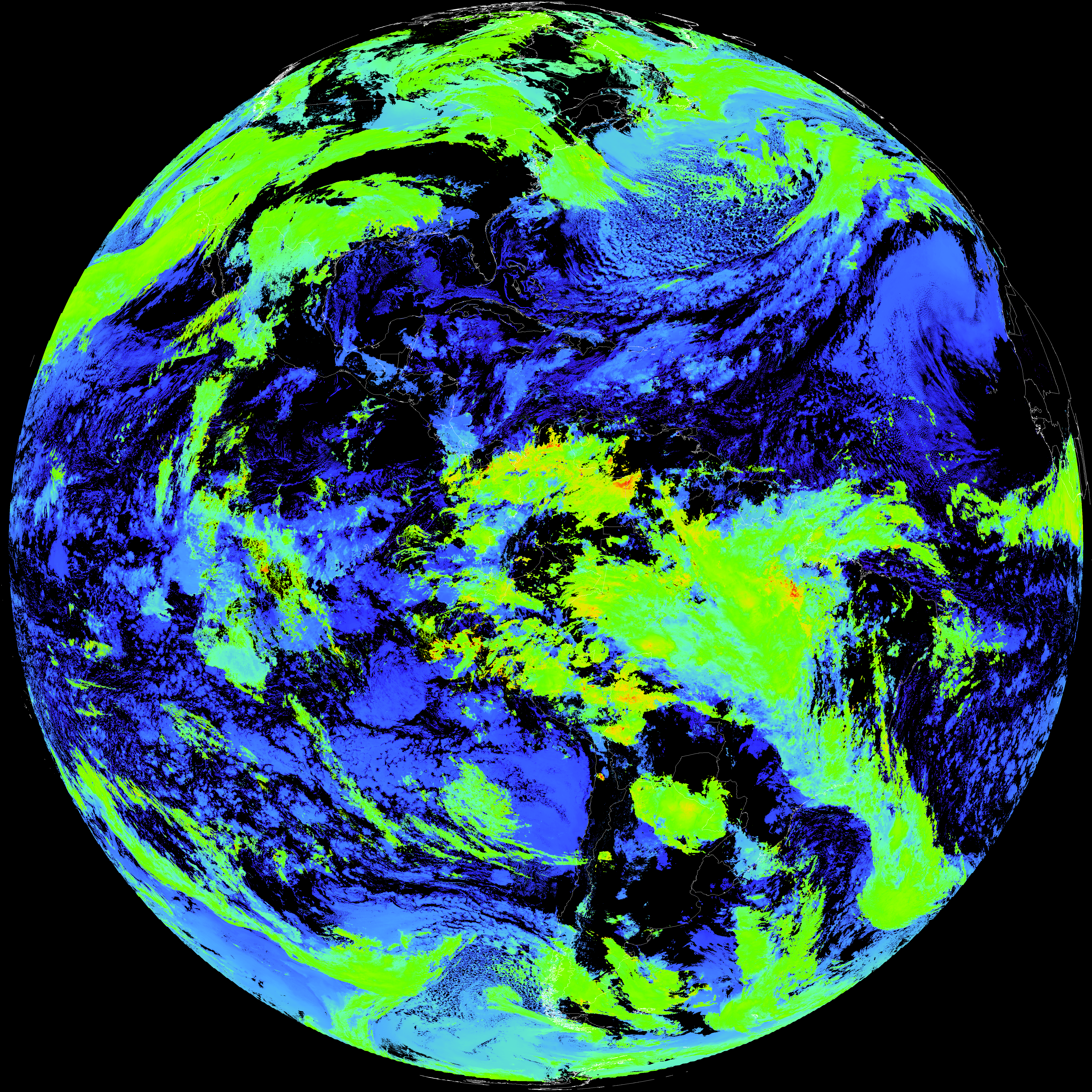
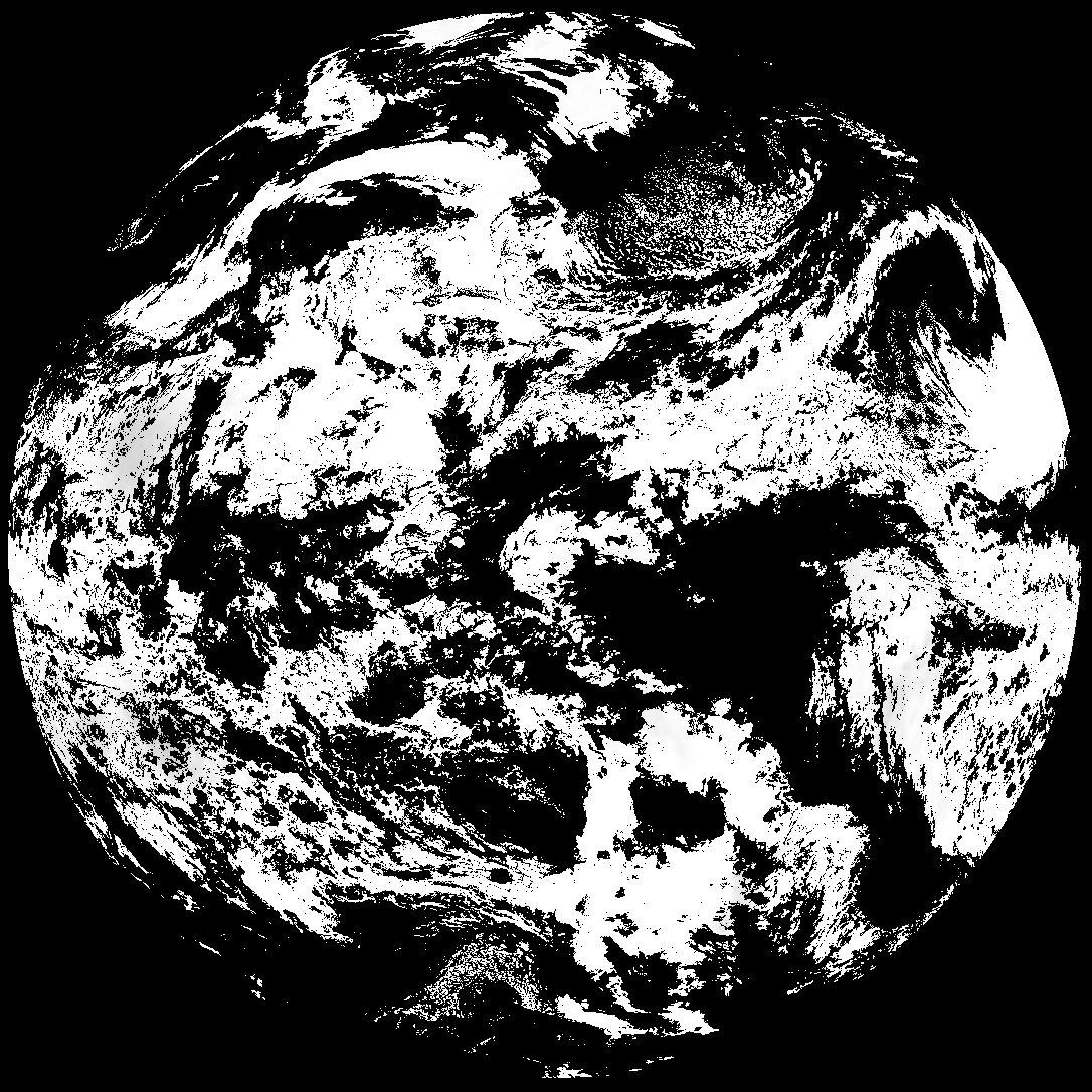
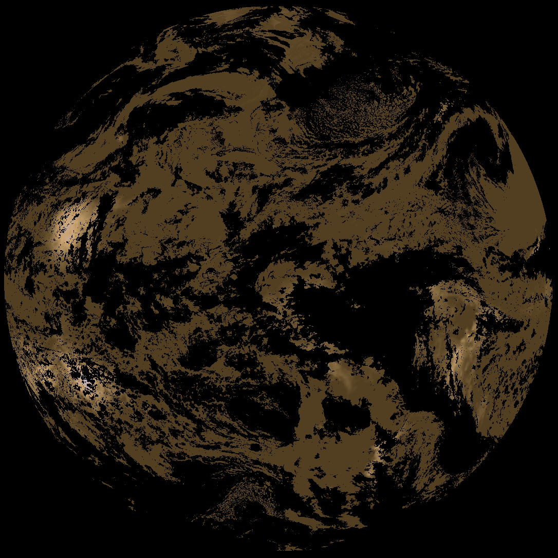
ACHT/ACHA), Derived Stability Indices (DSI), Total Precipitable Water (TPW), Rain Rate/QPE (RRQPE).SST/LST).G19_TPW_YYYYMMDDThhmmssZ.png with matching abi_rgb_* composites.The accompanying product.cbor files contain projection details that map pixels to Earth coordinates and physical units.
| File Name ↓ | File Size ↓ | Date ↓ |
|---|---|---|
| Parent directory/ | - | - |
| G19_TPW_20260210T120021Z.png | 260091 | 2026-Feb-10 12:29 |
| abi_rgb_Total_Precipitable_Water.png | 341838 | 2026-Feb-10 12:29 |
| abi_rgb_Total_Precipitable_Water_map.png | 353931 | 2026-Feb-10 12:29 |
| G19_ACHT_20260210T120021Z.png | 11731182 | 2026-Feb-10 12:34 |
| abi_rgb_Cloud_top_Temperature_(ACHT).png | 15791163 | 2026-Feb-10 12:34 |
| abi_rgb_Cloud_top_Temperature_(ACHT)_map.png | 15875885 | 2026-Feb-10 12:35 |
| G19_DSI_20260210T120021Z.png | 129269 | 2026-Feb-10 12:35 |
| abi_rgb_Derived_Stability_Indices_-_CAPE.png | 172591 | 2026-Feb-10 12:35 |
| product.cbor | 554 | 2026-Feb-10 12:35 |
| abi_rgb_Derived_Stability_Indices_-_CAPE_map.png | 187597 | 2026-Feb-10 12:35 |