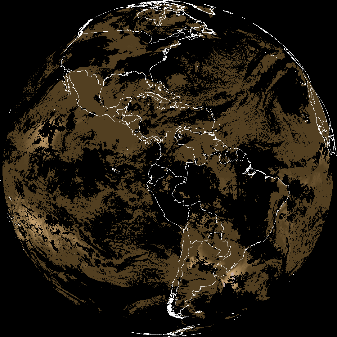
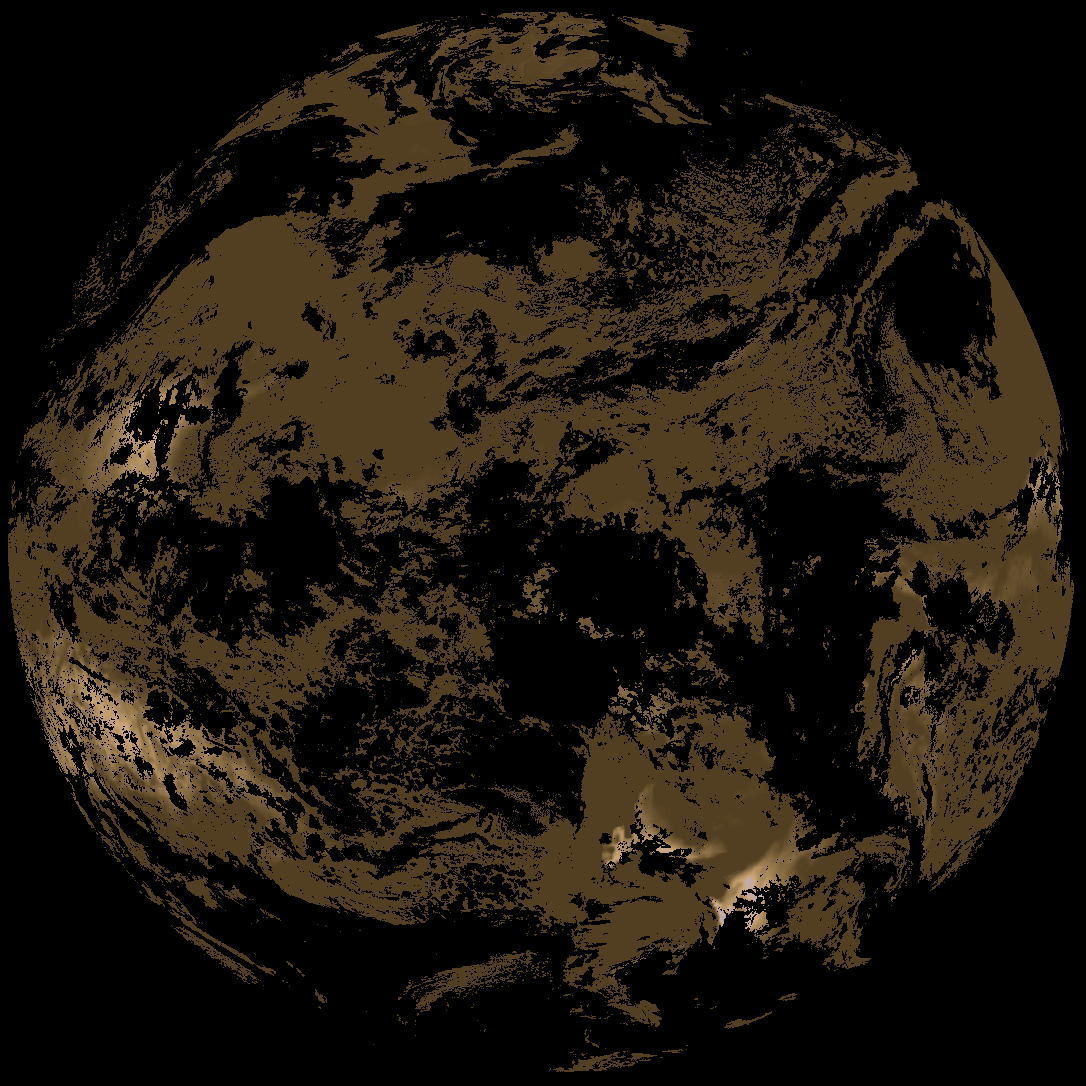
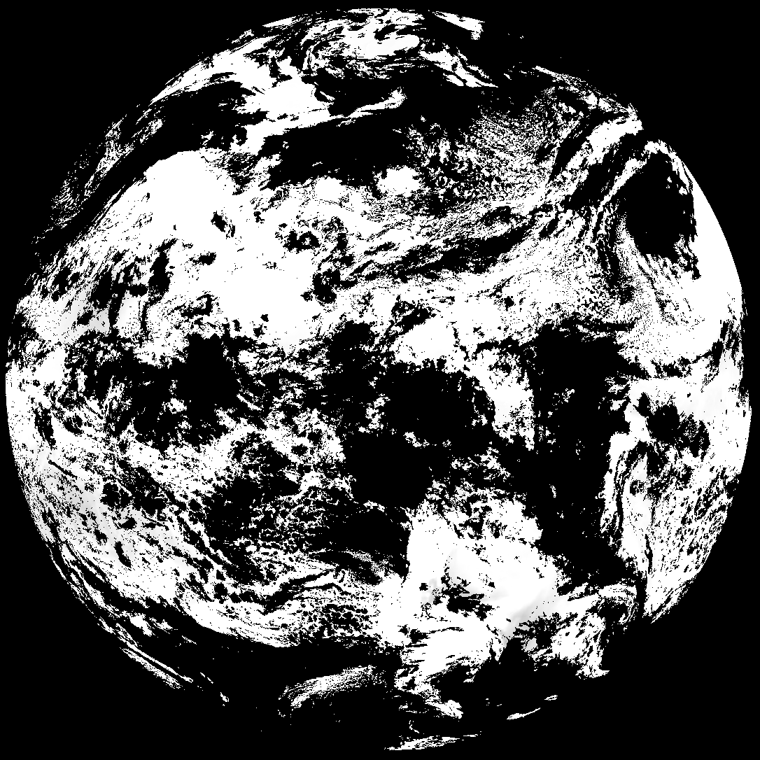
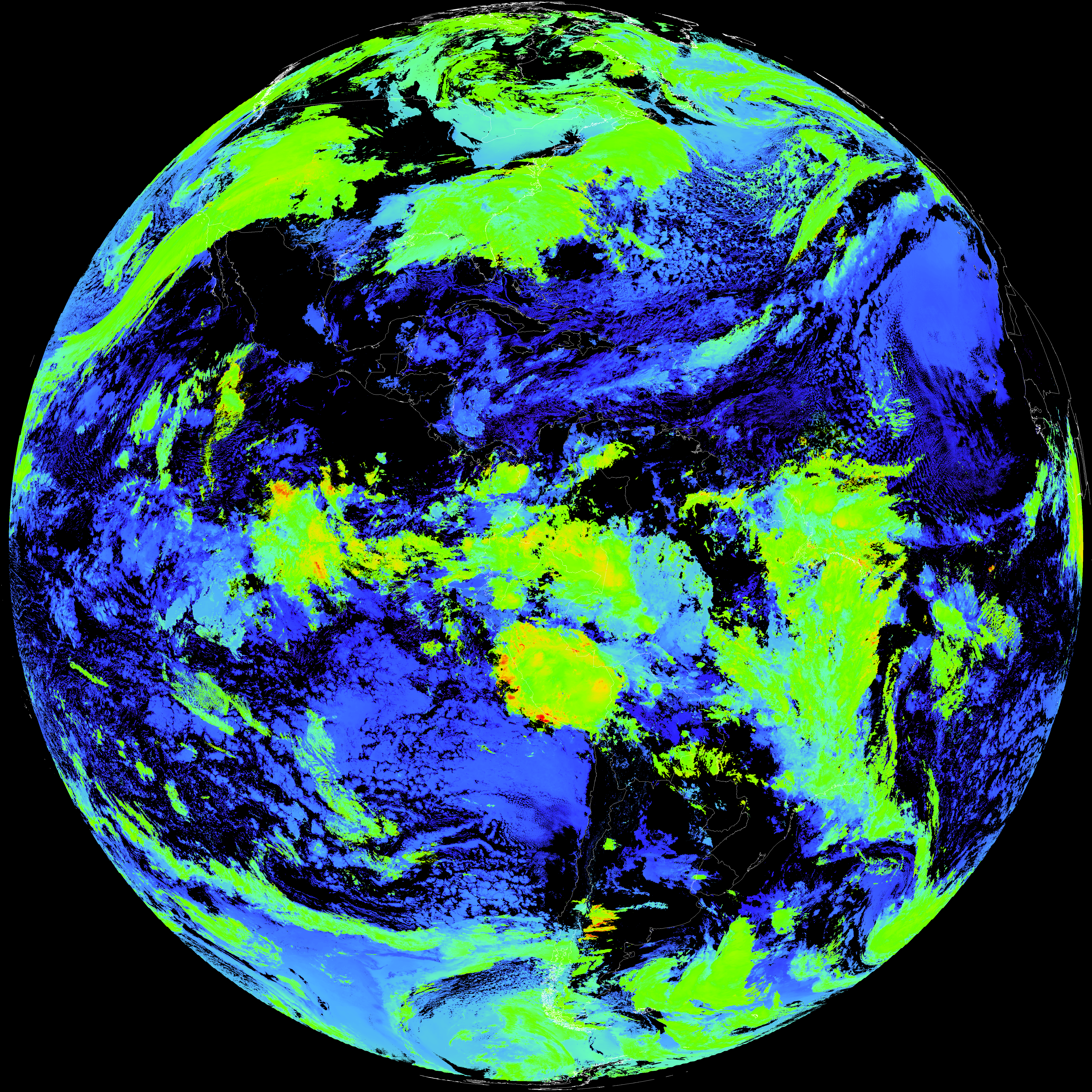
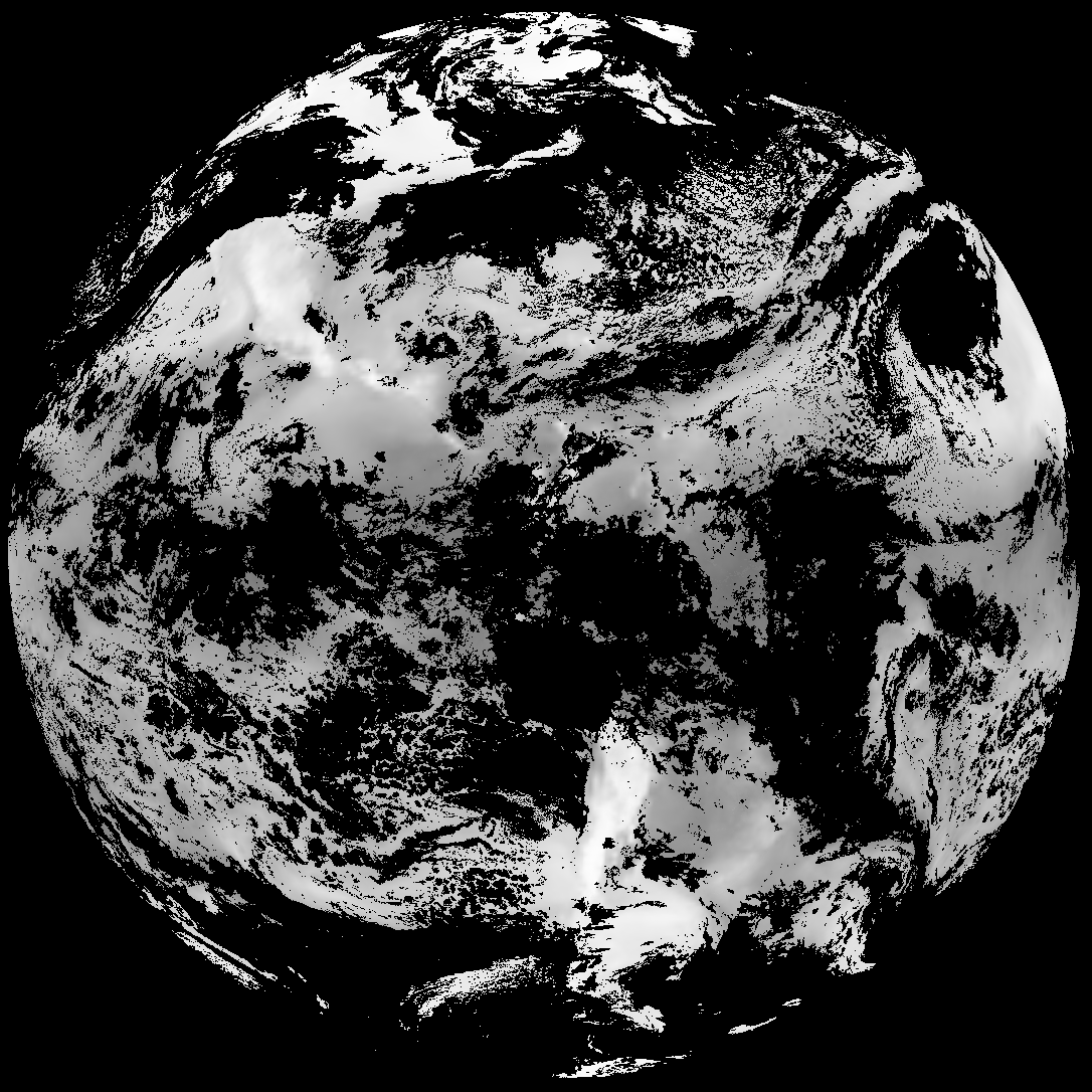
Quicklook renderings of ABI Level-2 geophysical fields. Each timestamp mirrors an imagery folder and includes a product.cbor metadata file.
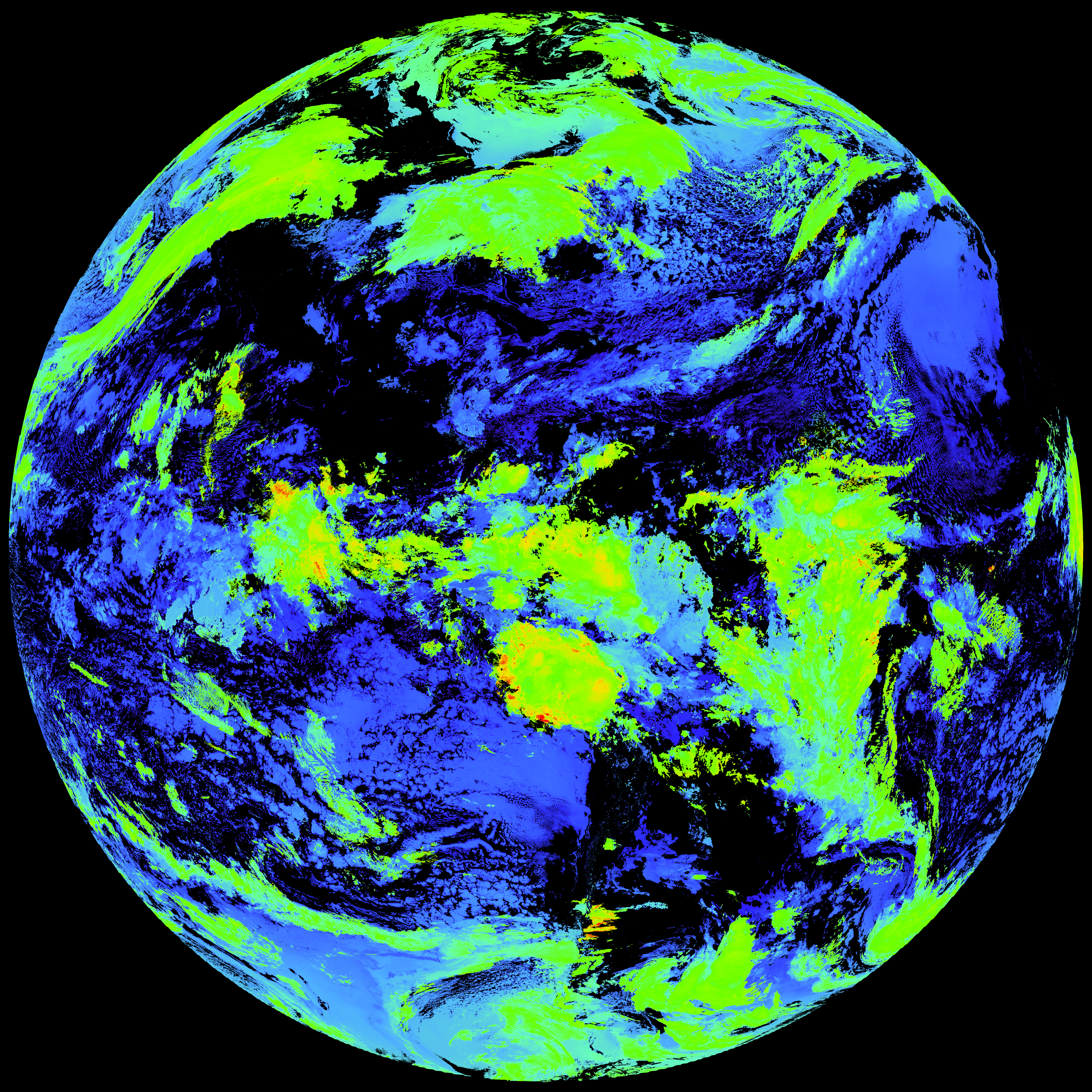
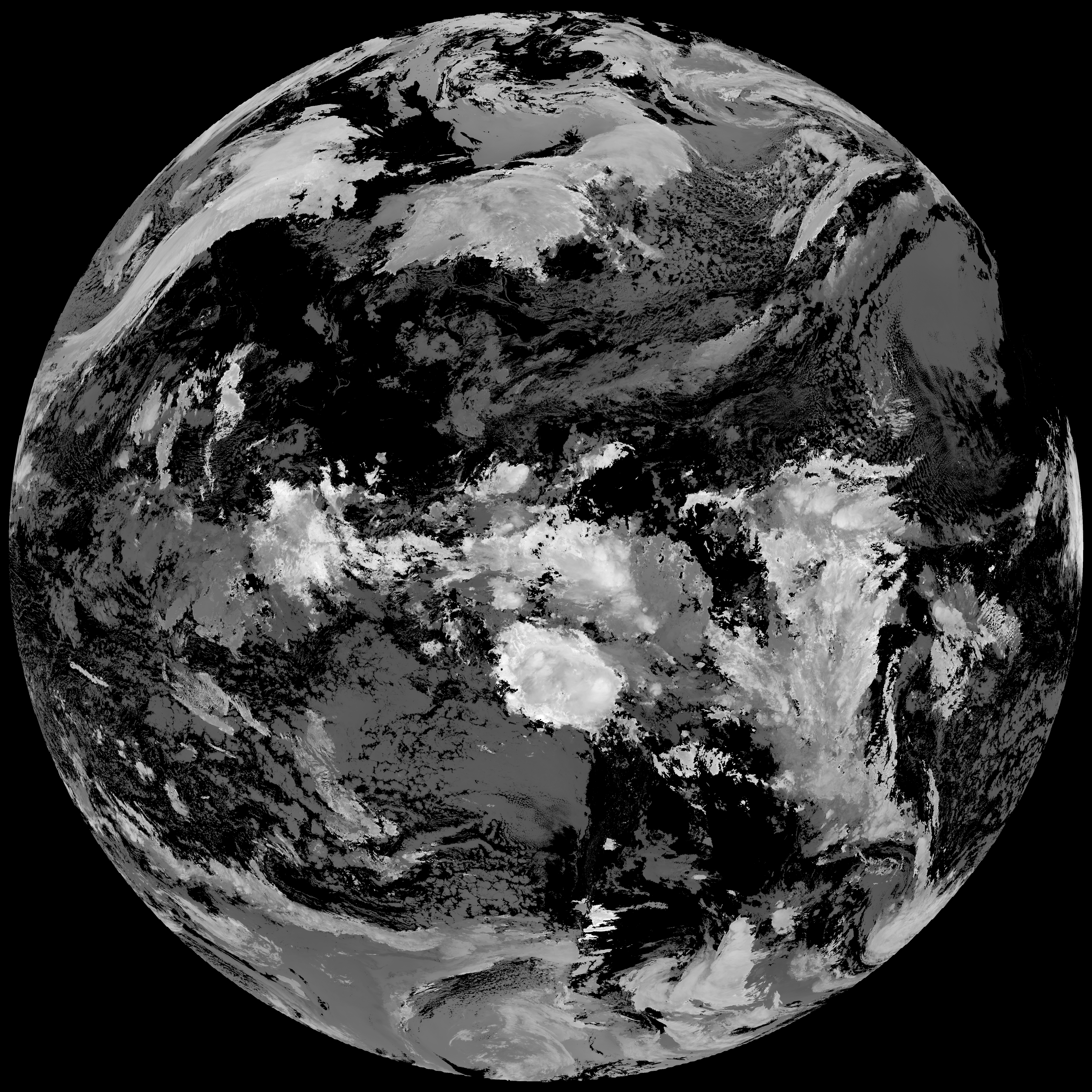
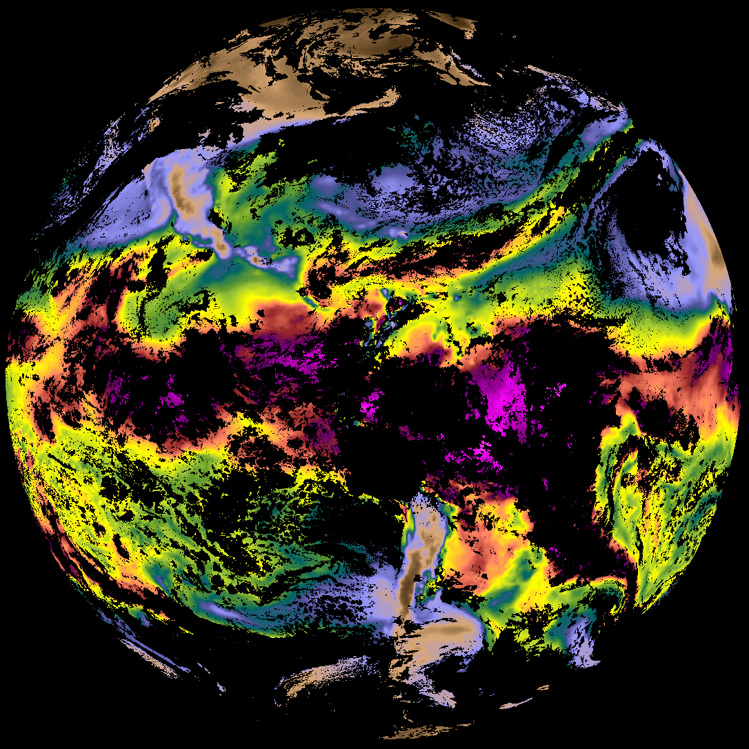
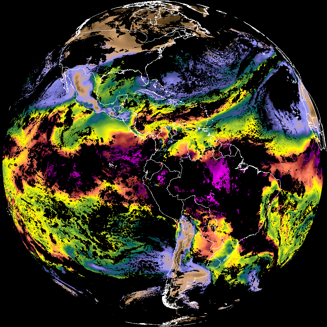
ACHT/ACHA), Derived Stability Indices (DSI), Total Precipitable Water (TPW), Rain Rate/QPE (RRQPE).SST/LST).G19_TPW_YYYYMMDDThhmmssZ.png with matching abi_rgb_* composites.The accompanying product.cbor files contain projection details that map pixels to Earth coordinates and physical units.
| File Name ↓ | File Size ↓ | Date ↓ |
|---|---|---|
| Parent directory/ | - | - |
| abi_rgb_Derived_Stability_Indices_-_CAPE_map.png | 183698 | 2026-Feb-11 12:34 |
| abi_rgb_Derived_Stability_Indices_-_CAPE.png | 168397 | 2026-Feb-11 12:34 |
| product.cbor | 554 | 2026-Feb-11 12:34 |
| G19_DSI_20260211T120021Z.png | 125812 | 2026-Feb-11 12:34 |
| abi_rgb_Cloud_top_Temperature_(ACHT)_map.png | 15490972 | 2026-Feb-11 12:34 |
| abi_rgb_Cloud_top_Temperature_(ACHT).png | 15405925 | 2026-Feb-11 12:34 |
| G19_ACHT_20260211T120021Z.png | 11428502 | 2026-Feb-11 12:34 |
| abi_rgb_Total_Precipitable_Water.png | 338778 | 2026-Feb-11 12:29 |
| abi_rgb_Total_Precipitable_Water_map.png | 351308 | 2026-Feb-11 12:29 |
| G19_TPW_20260211T120021Z.png | 258754 | 2026-Feb-11 12:29 |