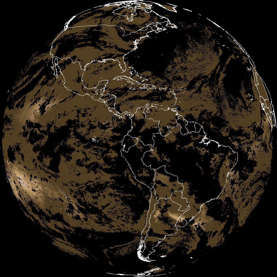
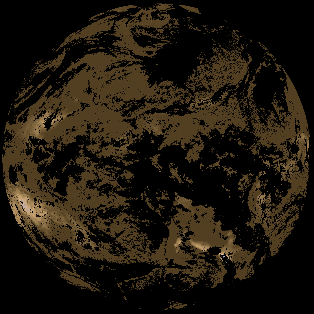
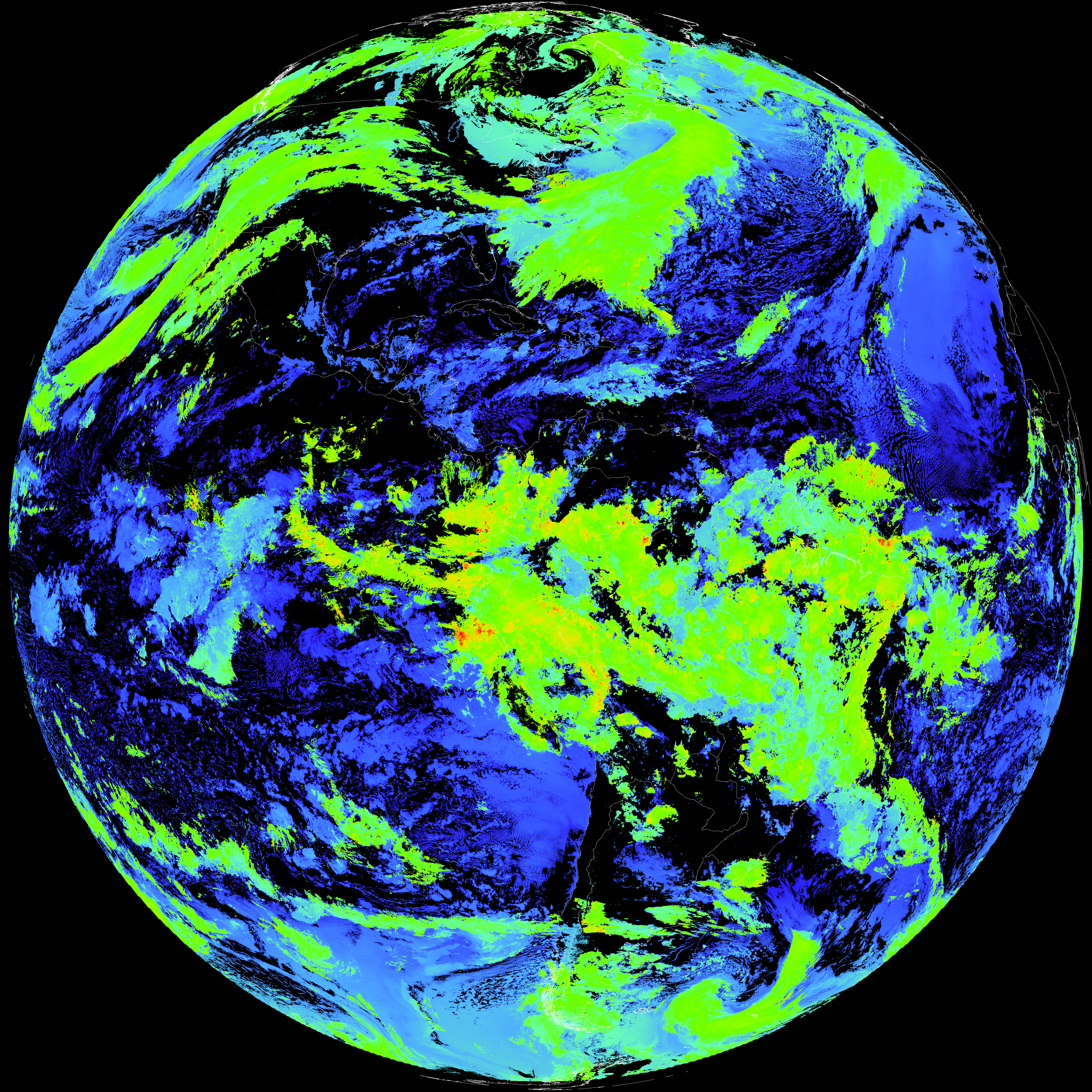
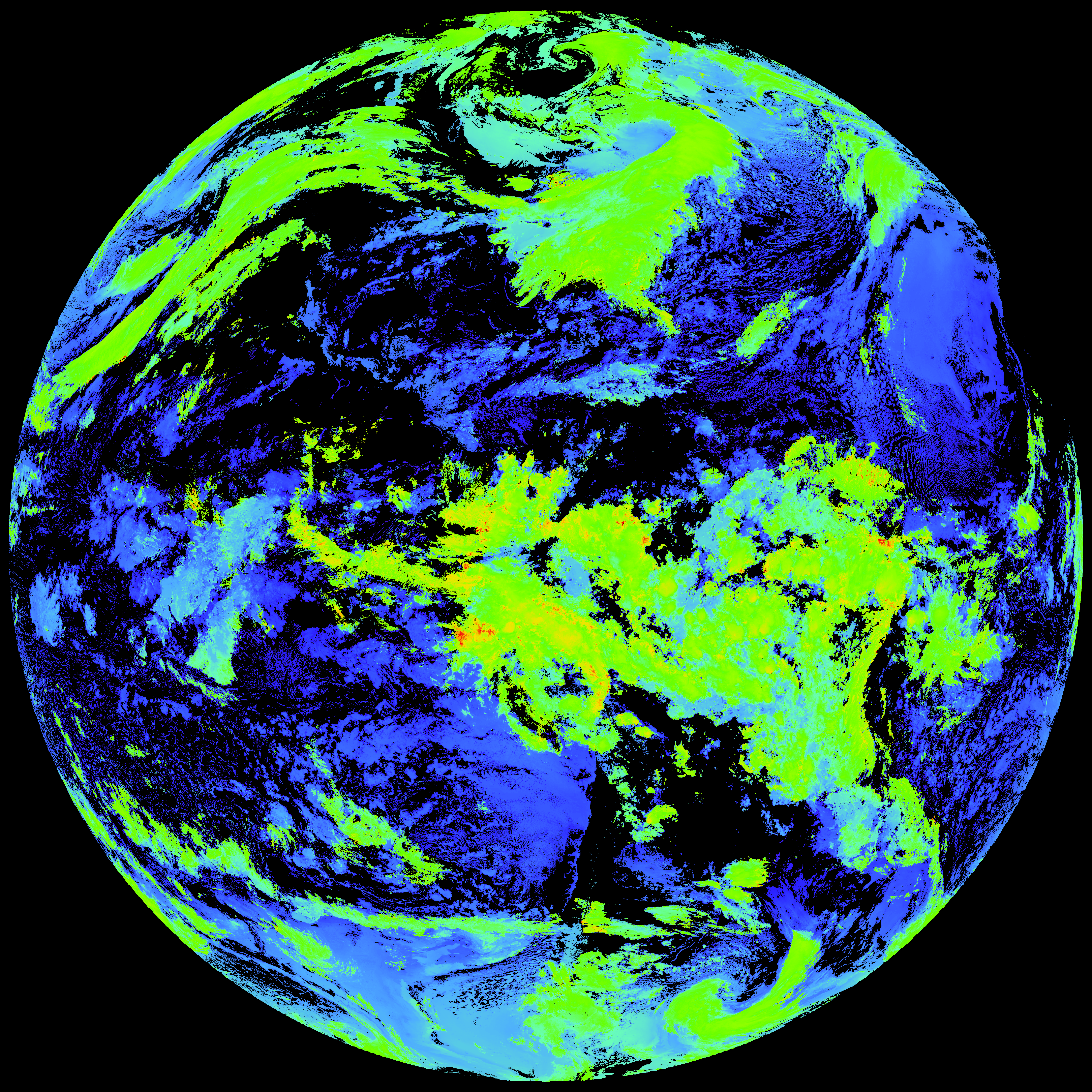
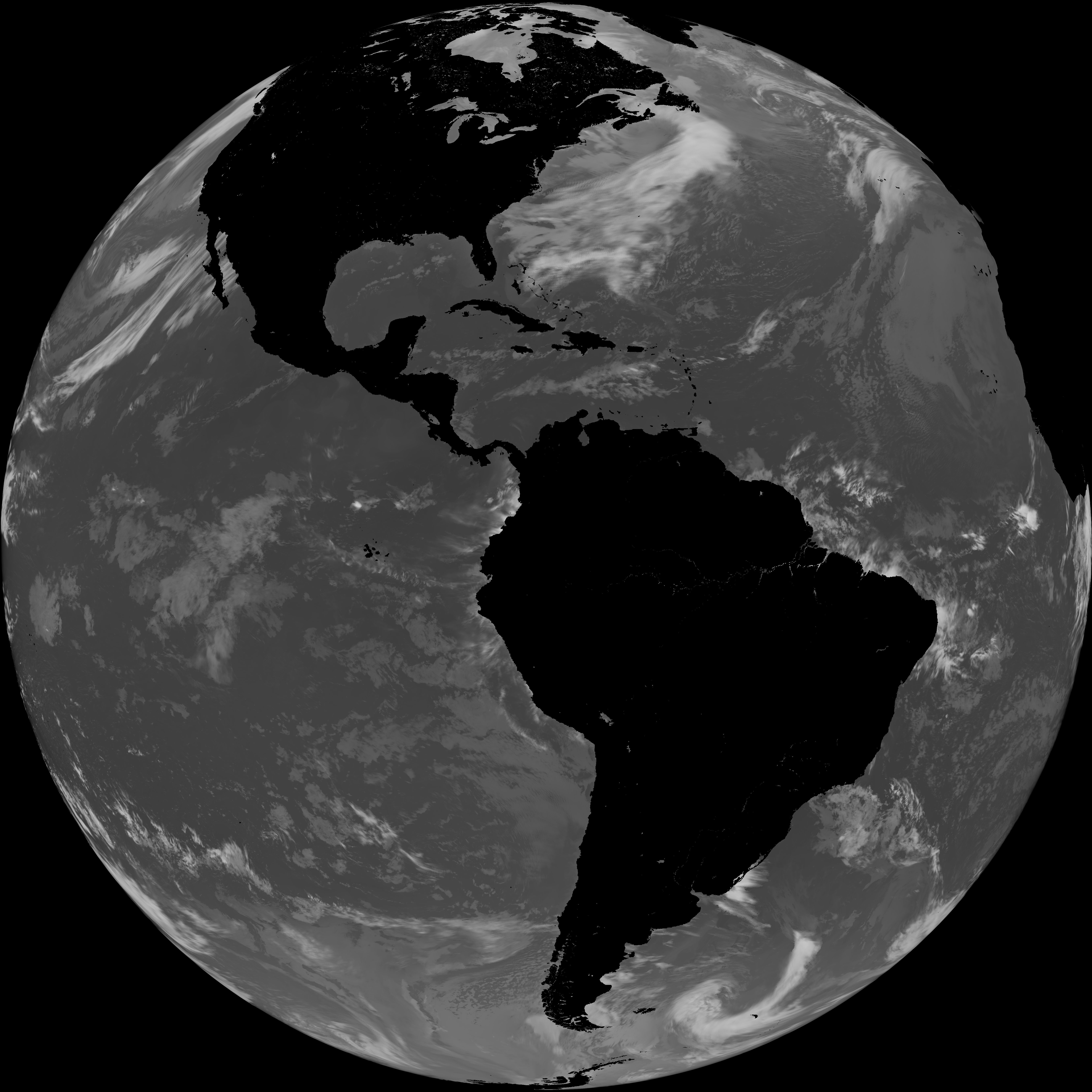
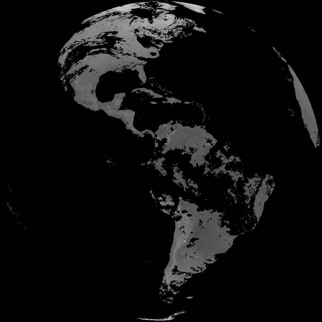
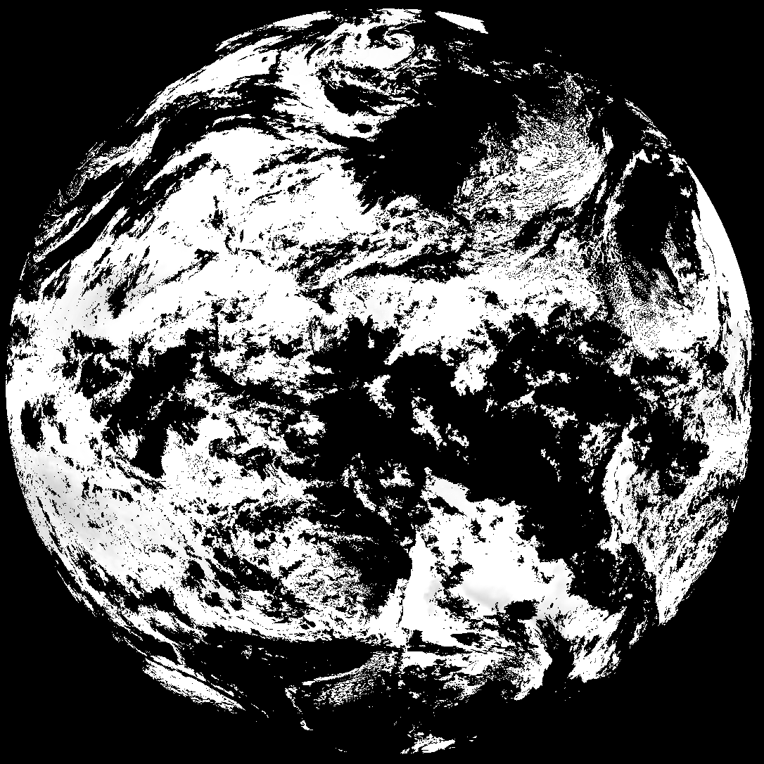
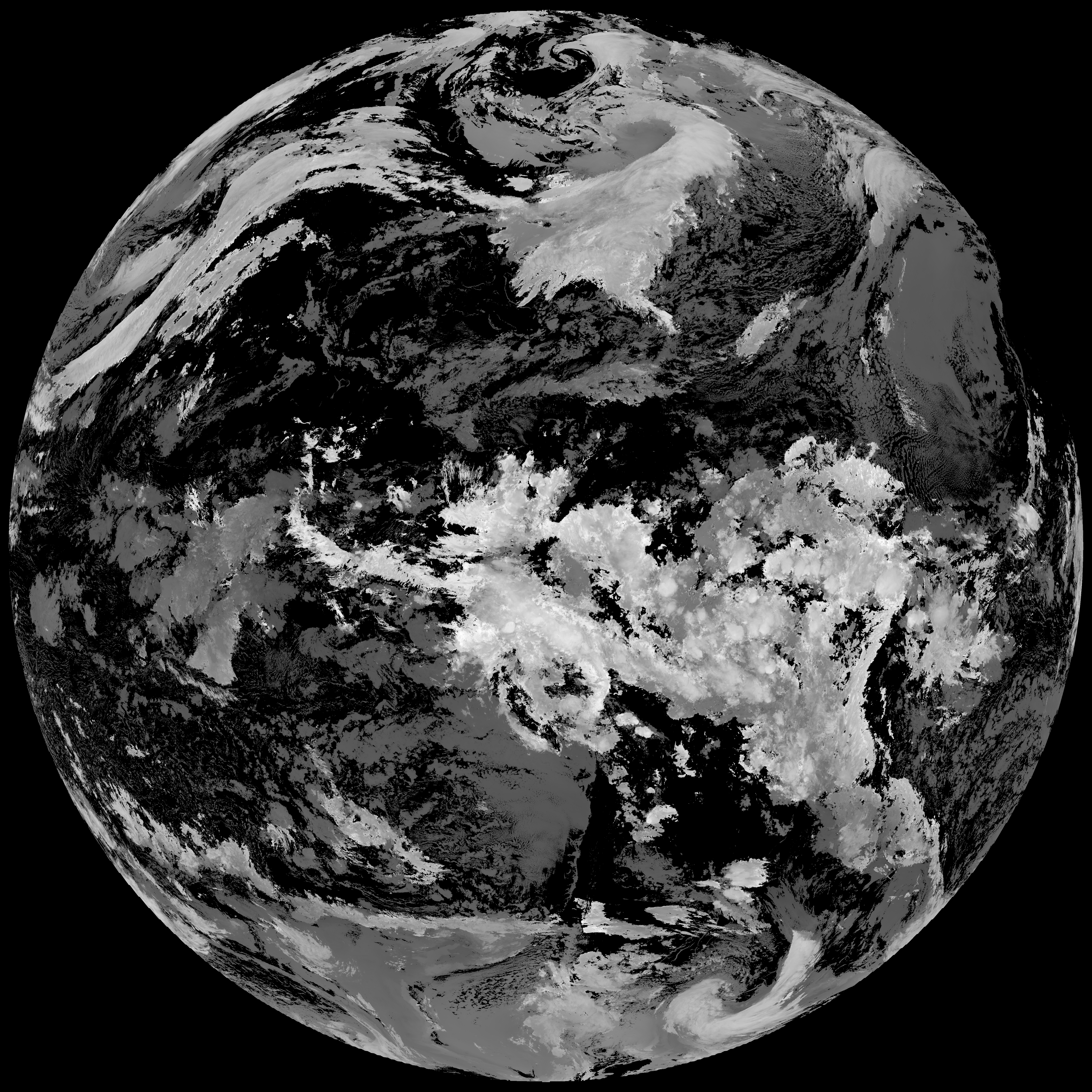
Quicklook renderings of ABI Level-2 geophysical fields. Each timestamp mirrors an imagery folder and includes a product.cbor metadata file.
ACHT/ACHA), Derived Stability Indices (DSI), Total Precipitable Water (TPW), Rain Rate/QPE (RRQPE).SST/LST).G19_TPW_YYYYMMDDThhmmssZ.png with matching abi_rgb_* composites.The accompanying product.cbor files contain projection details that map pixels to Earth coordinates and physical units.
| File Name ↓ | File Size ↓ | Date ↓ |
|---|---|---|
| Parent directory/ | - | - |
| product.cbor | 621 | 2026-Feb-12 03:12 |
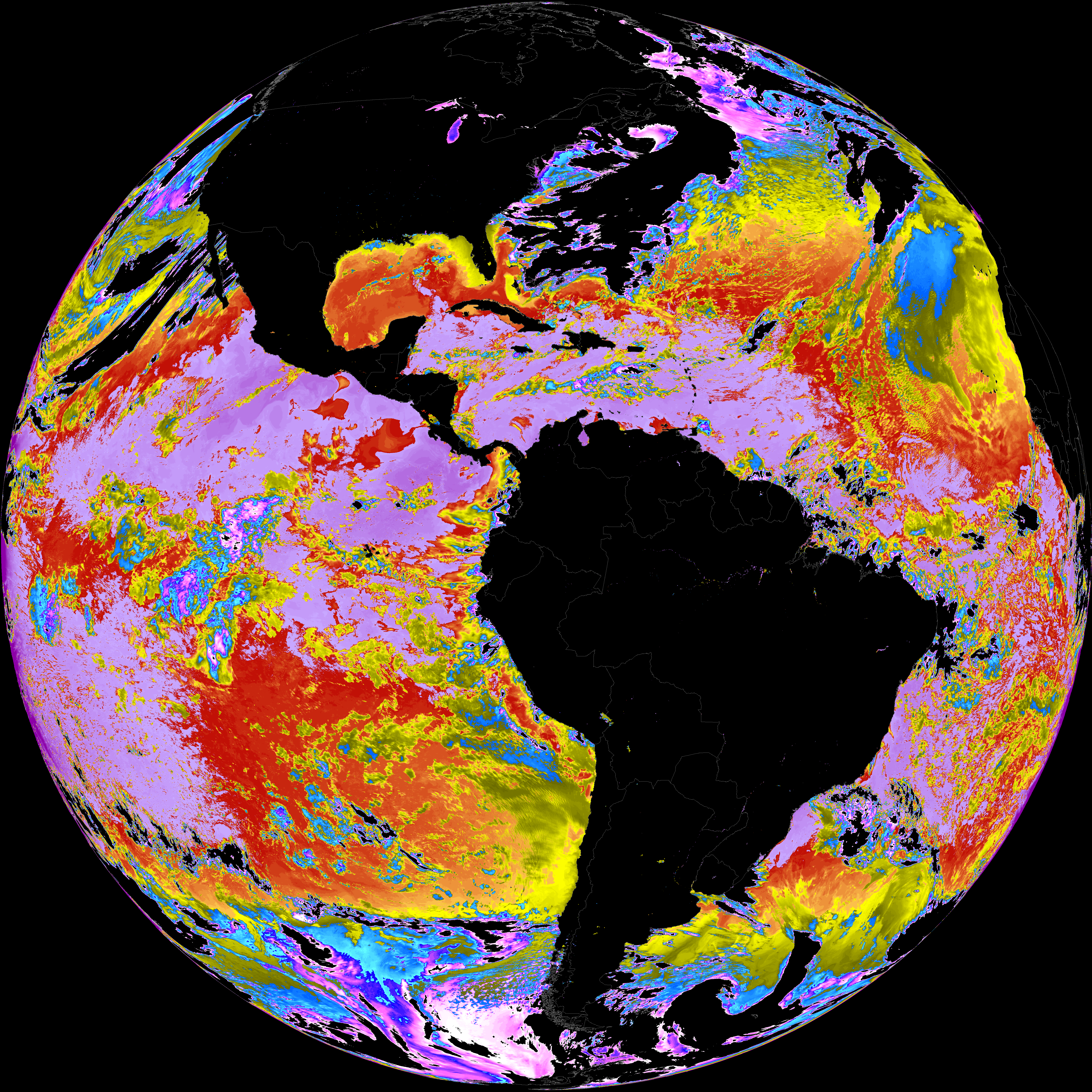
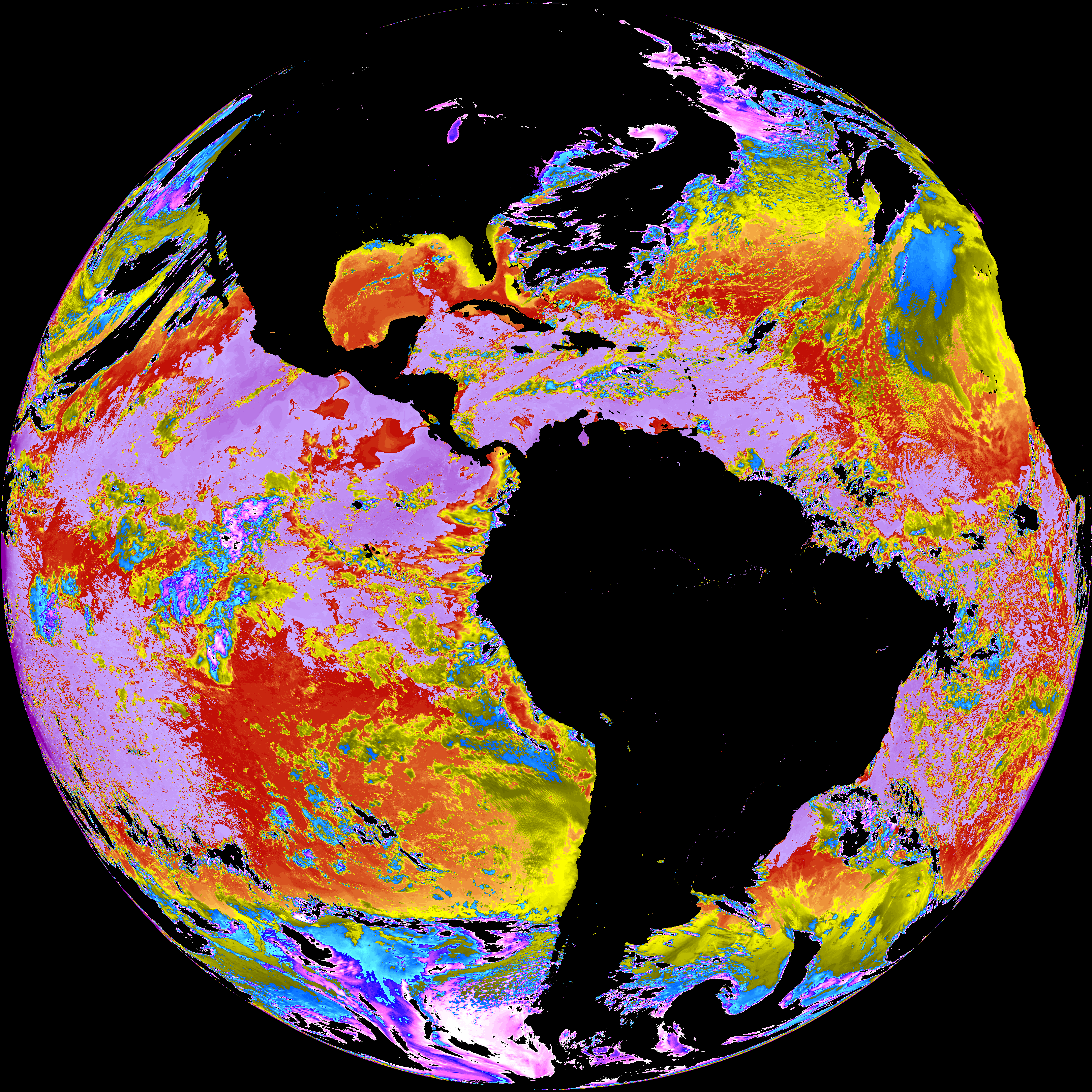
| abi_rgb_Sea_Surface_Temperature_map.png | 8024732 | 2026-Feb-12 03:08 |
| abi_rgb_Sea_Surface_Temperature.png | 7912015 | 2026-Feb-12 03:08 |
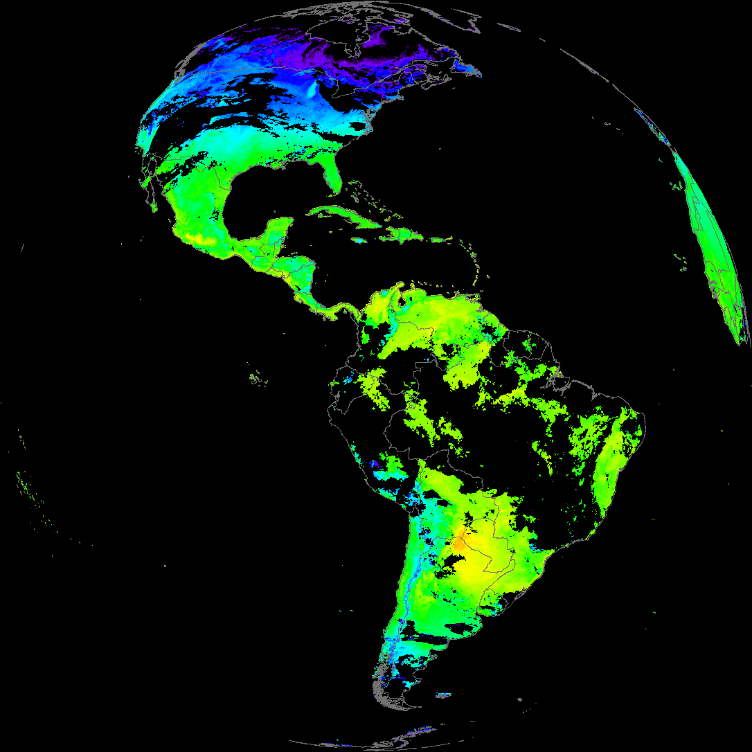
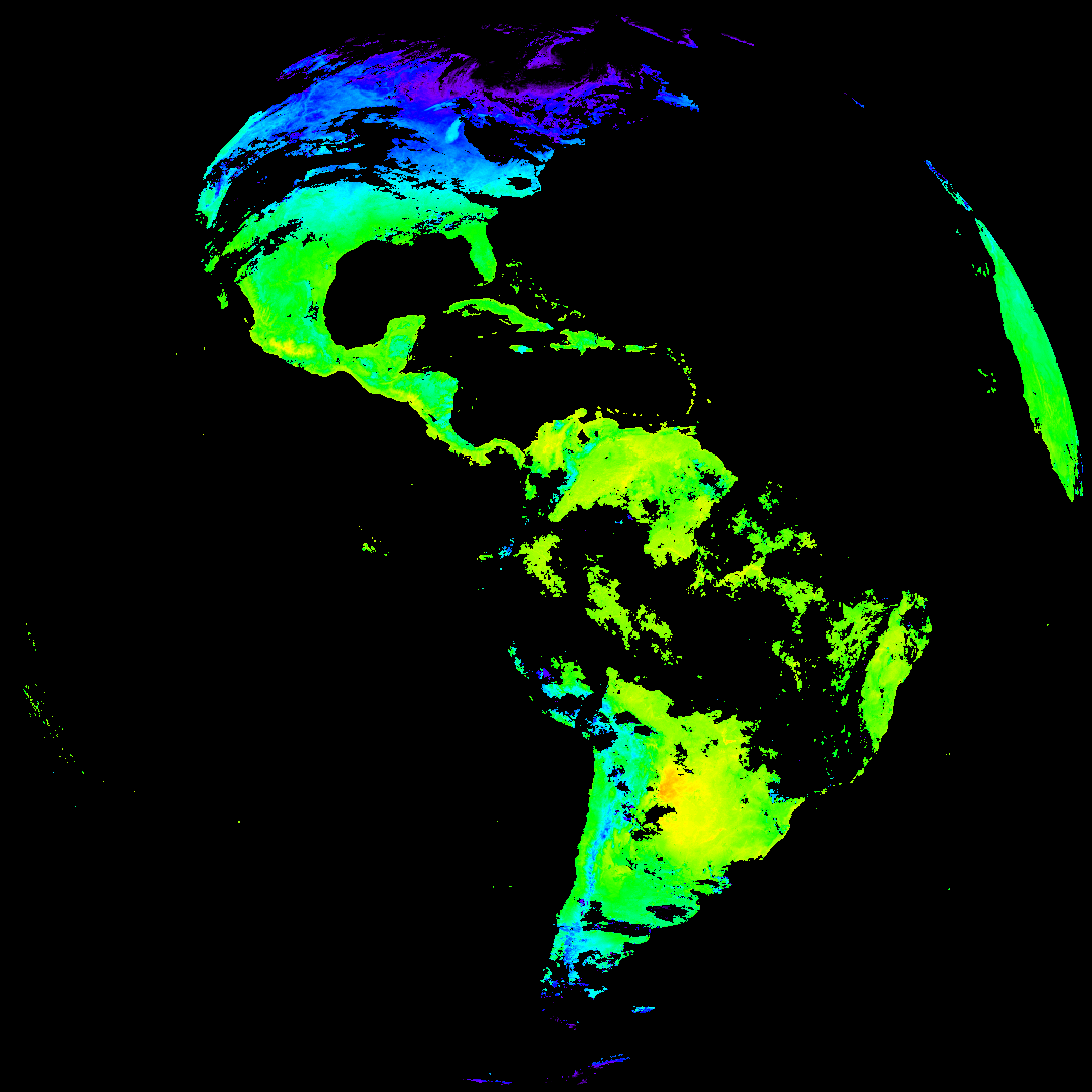
| abi_rgb_Land_Surface_Temperature_map.png | 151682 | 2026-Feb-12 03:12 |
| abi_rgb_Land_Surface_Temperature.png | 143480 | 2026-Feb-12 03:12 |
| abi_rgb_Derived_Stability_Indices_-_CAPE_map.png | 185551 | 2026-Feb-12 02:32 |
| abi_rgb_Derived_Stability_Indices_-_CAPE.png | 170291 | 2026-Feb-12 02:32 |
| abi_rgb_Cloud_top_Temperature_(ACHT)_map.png | 15544145 | 2026-Feb-12 02:32 |
| abi_rgb_Cloud_top_Temperature_(ACHT).png | 15464742 | 2026-Feb-12 02:32 |
| G19_SST_20260212T020021Z.png | 7373228 | 2026-Feb-12 03:08 |
| G19_LST_20260212T020021Z.png | 114613 | 2026-Feb-12 03:12 |
| G19_DSI_20260212T020021Z.png | 128533 | 2026-Feb-12 02:32 |
| G19_ACHT_20260212T020021Z.png | 11451835 | 2026-Feb-12 02:31 |