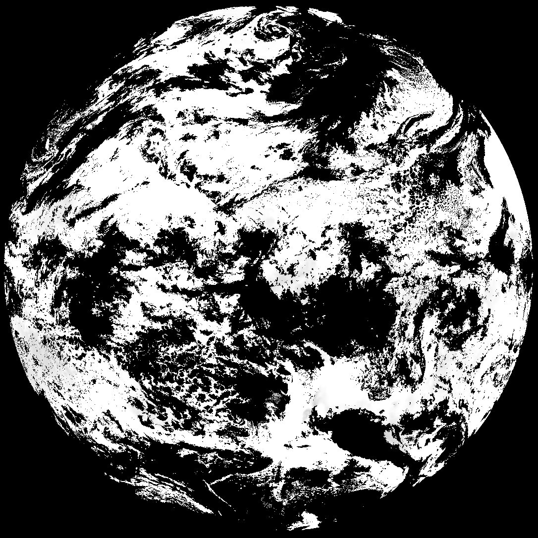
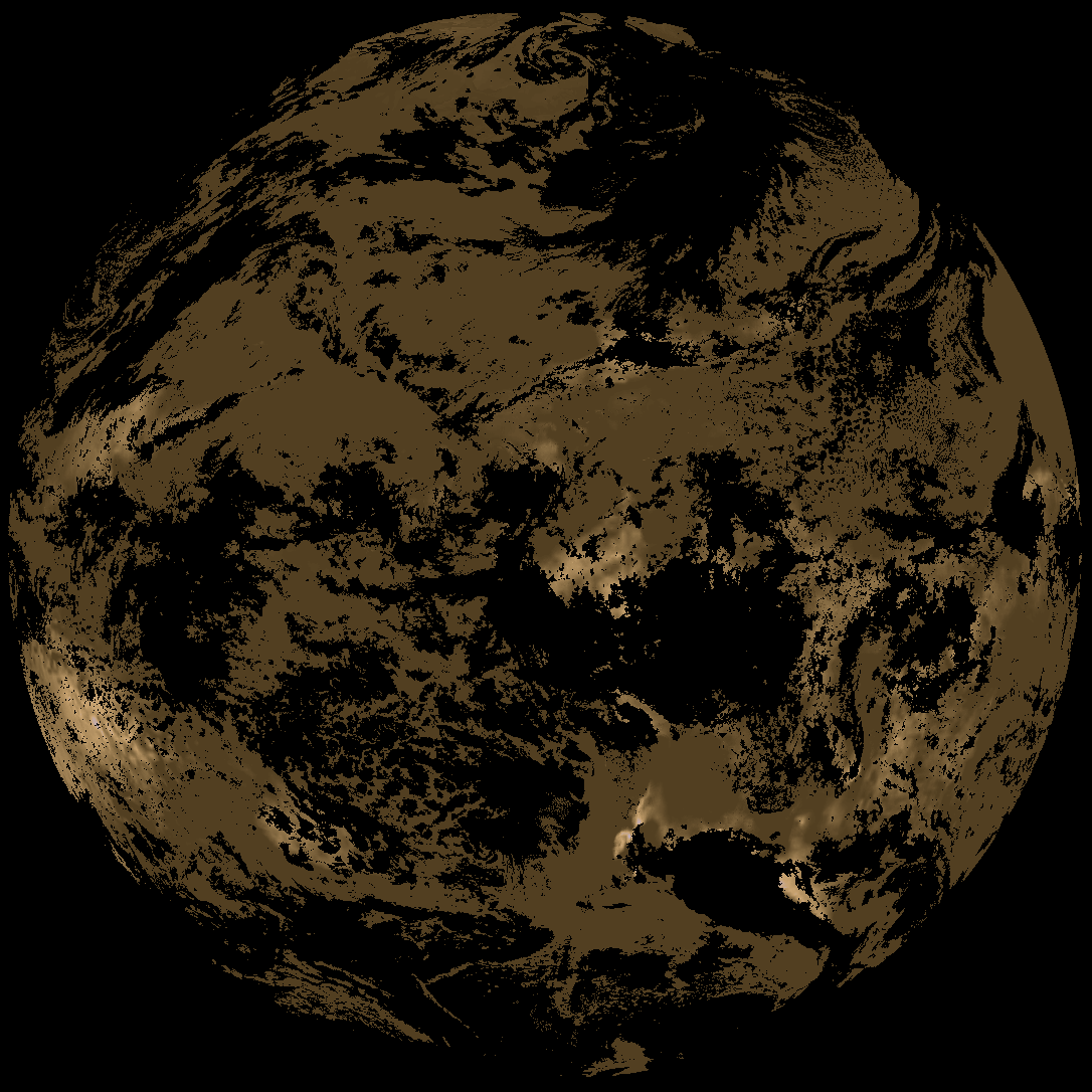
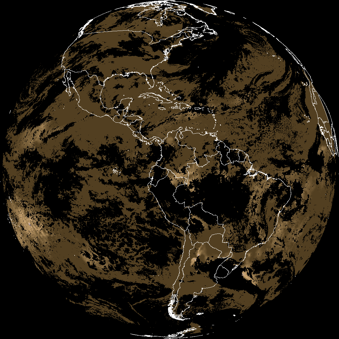
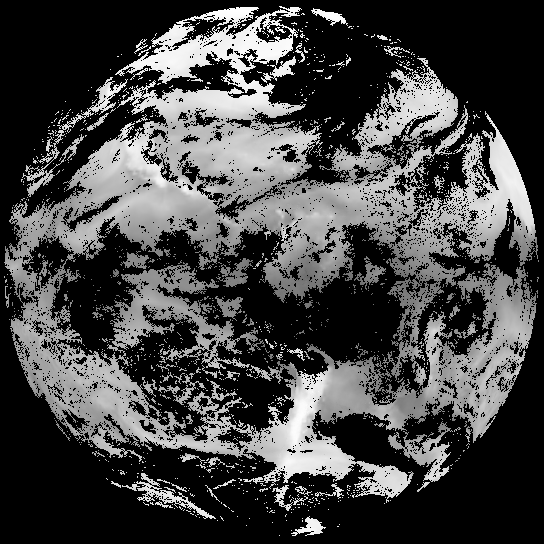
Quicklook renderings of ABI Level-2 geophysical fields. Each timestamp mirrors an imagery folder and includes a product.cbor metadata file.
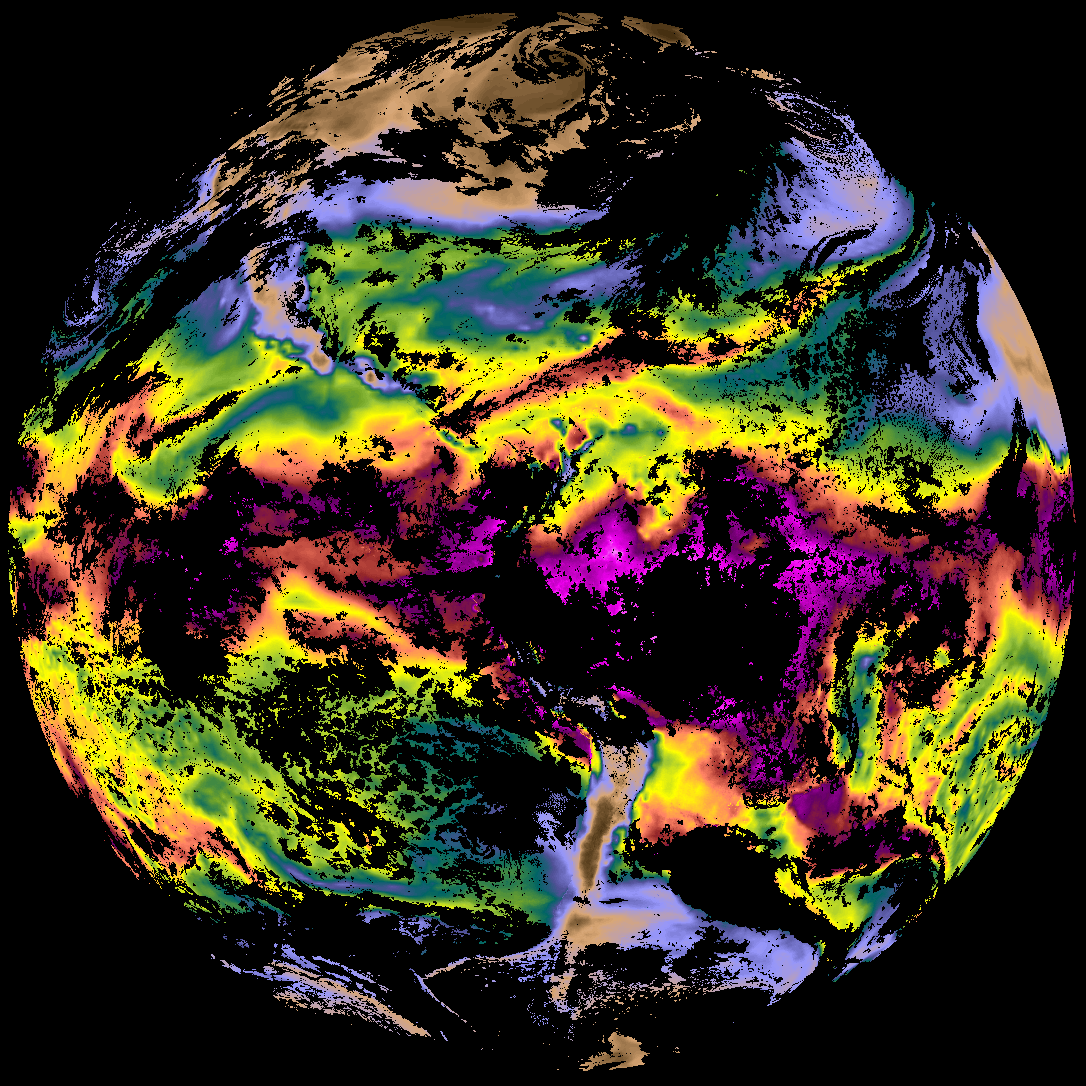
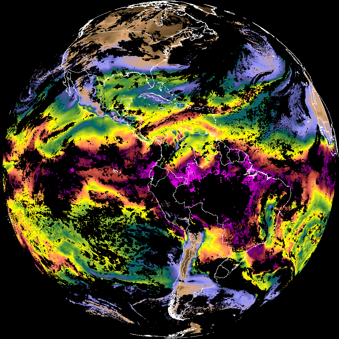
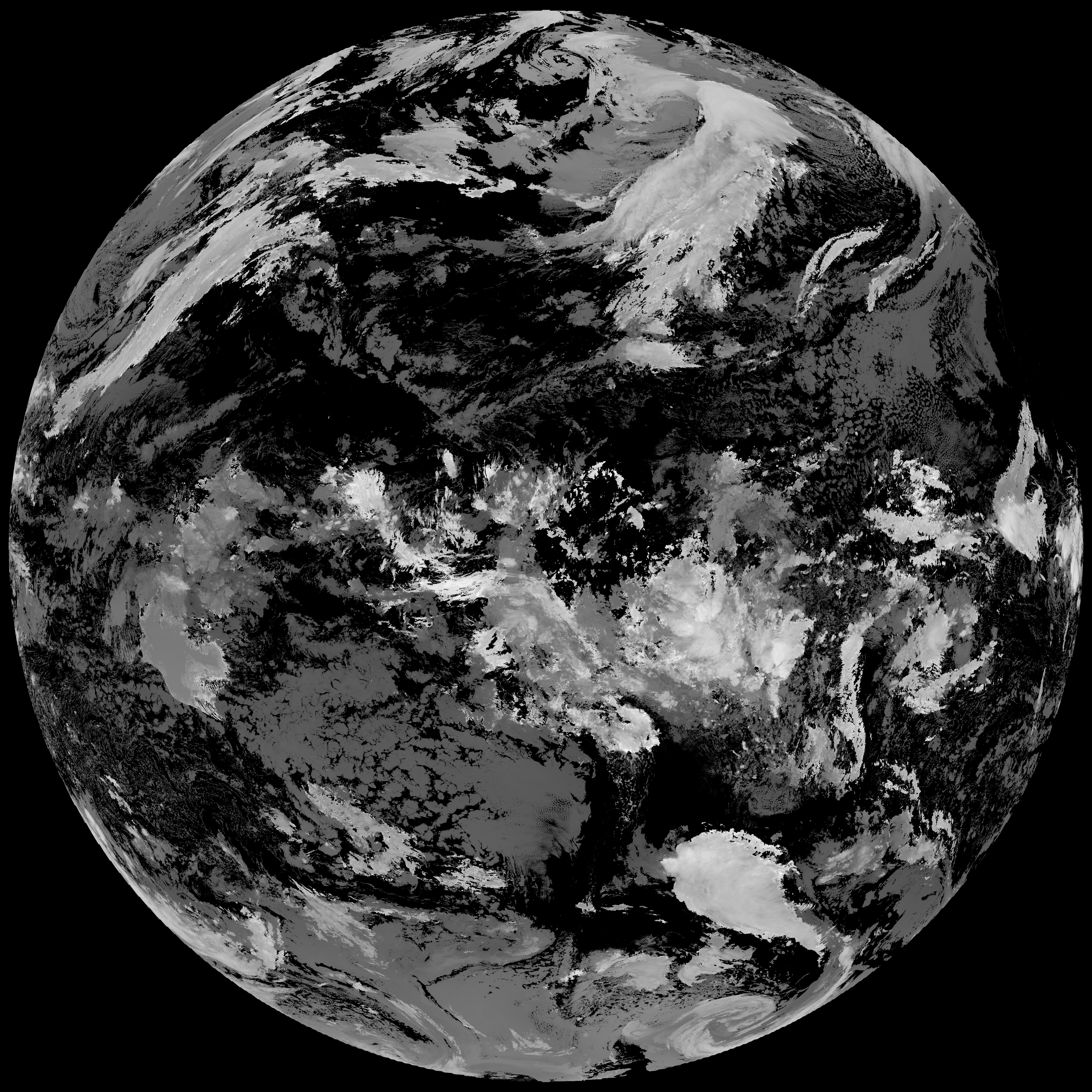
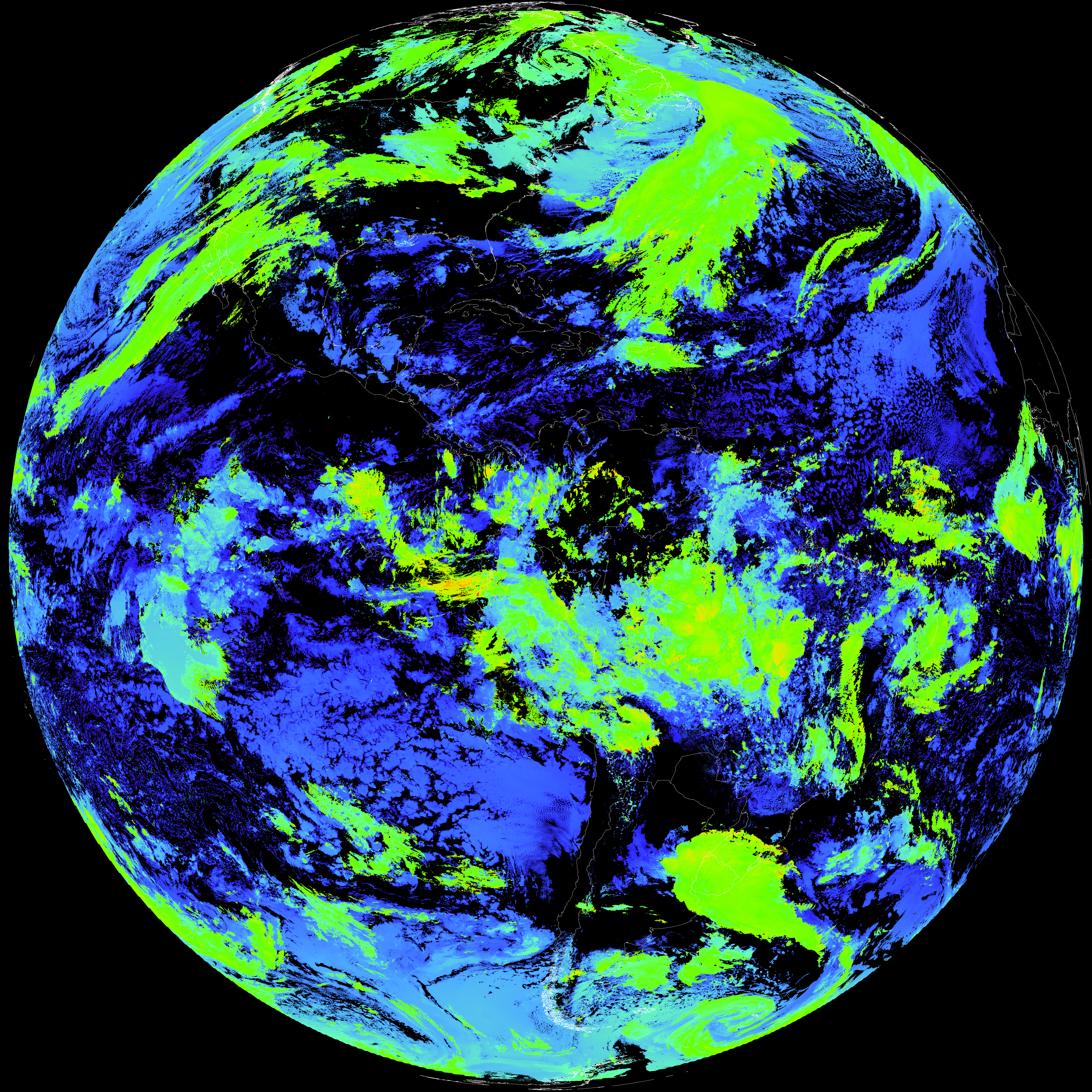
ACHT/ACHA), Derived Stability Indices (DSI), Total Precipitable Water (TPW), Rain Rate/QPE (RRQPE).SST/LST).G19_TPW_YYYYMMDDThhmmssZ.png with matching abi_rgb_* composites.The accompanying product.cbor files contain projection details that map pixels to Earth coordinates and physical units.
| File Name ↓ | File Size ↓ | Date ↓ |
|---|---|---|
| Parent directory/ | - | - |
| product.cbor | 554 | 2026-Feb-12 15:37 |
| G19_DSI_20260212T150021Z.png | 142410 | 2026-Feb-12 15:37 |
| abi_rgb_Derived_Stability_Indices_-_CAPE.png | 188503 | 2026-Feb-12 15:37 |
| abi_rgb_Derived_Stability_Indices_-_CAPE_map.png | 203966 | 2026-Feb-12 15:37 |
| G19_TPW_20260212T150021Z.png | 278769 | 2026-Feb-12 15:32 |
| abi_rgb_Total_Precipitable_Water.png | 362364 | 2026-Feb-12 15:32 |
| abi_rgb_Total_Precipitable_Water_map.png | 372705 | 2026-Feb-12 15:32 |
| G19_ACHT_20260212T150021Z.png | 10789600 | 2026-Feb-12 15:37 |
| abi_rgb_Cloud_top_Temperature_(ACHT).png | 14627381 | 2026-Feb-12 15:37 |
| abi_rgb_Cloud_top_Temperature_(ACHT)_map.png | 14717793 | 2026-Feb-12 15:37 |