Quicklook renderings of ABI Level-2 geophysical fields. Each timestamp mirrors an imagery folder and includes a product.cbor metadata file.
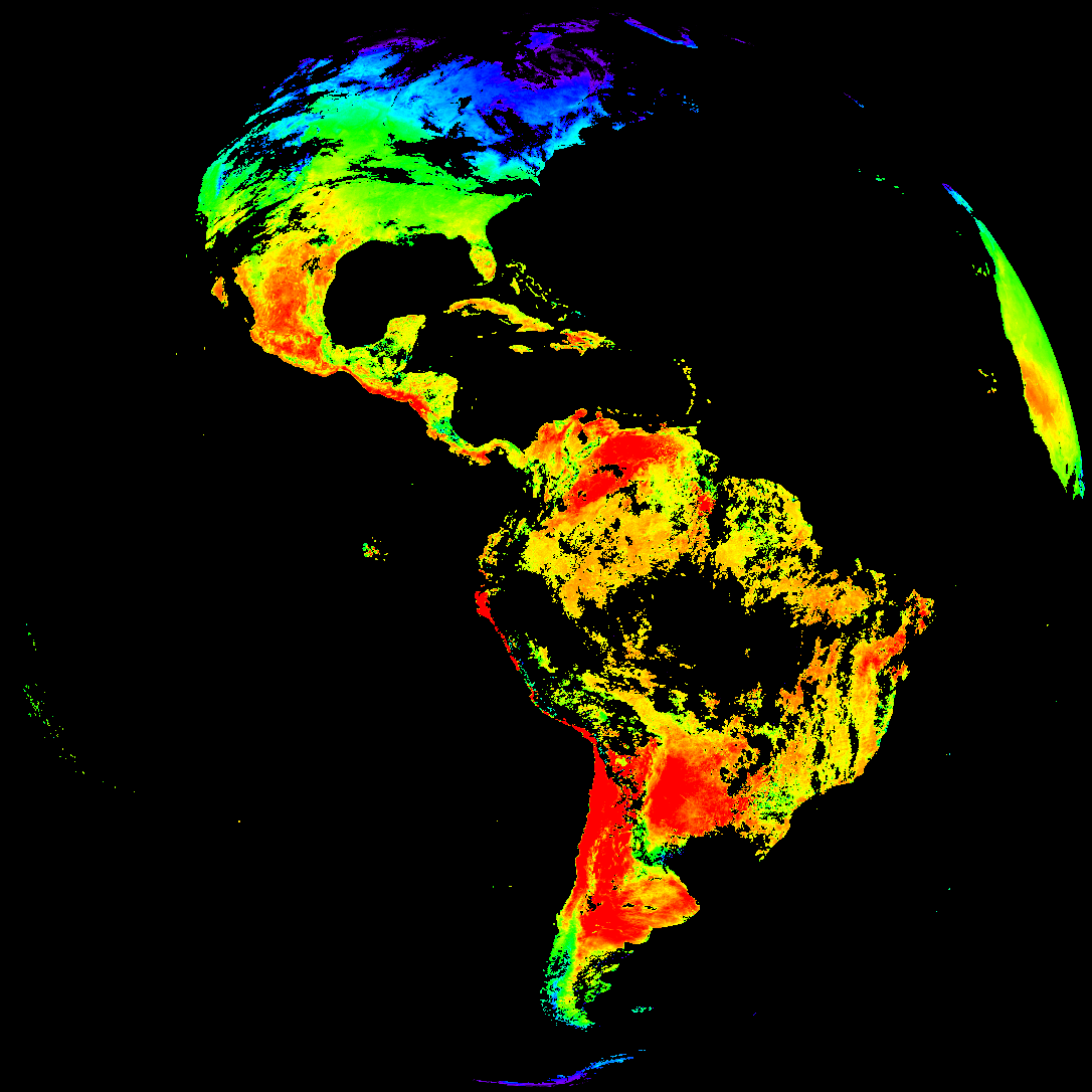
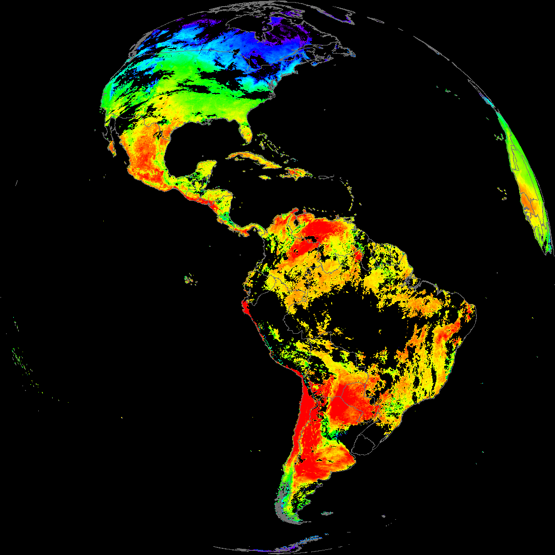
ACHT/ACHA), Derived Stability Indices (DSI), Total Precipitable Water (TPW), Rain Rate/QPE (RRQPE).SST/LST).G19_TPW_YYYYMMDDThhmmssZ.png with matching abi_rgb_* composites.The accompanying product.cbor files contain projection details that map pixels to Earth coordinates and physical units.
| File Name ↓ | File Size ↓ | Date ↓ |
|---|---|---|
| Parent directory/ | - | - |
| product.cbor | 621 | 2026-Feb-12 19:12 |
| G19_LST_20260212T180021Z.png | 140578 | 2026-Feb-12 19:12 |
| G19_DSI_20260212T180021Z.png | 146654 | 2026-Feb-12 18:40 |
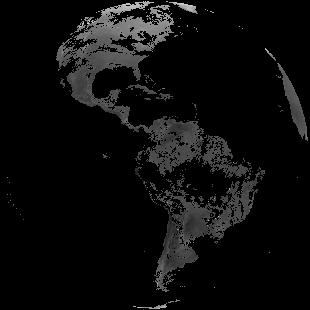
| abi_rgb_Land_Surface_Temperature.png | 176005 | 2026-Feb-12 19:12 |
| abi_rgb_Land_Surface_Temperature_map.png | 182089 | 2026-Feb-12 19:12 |
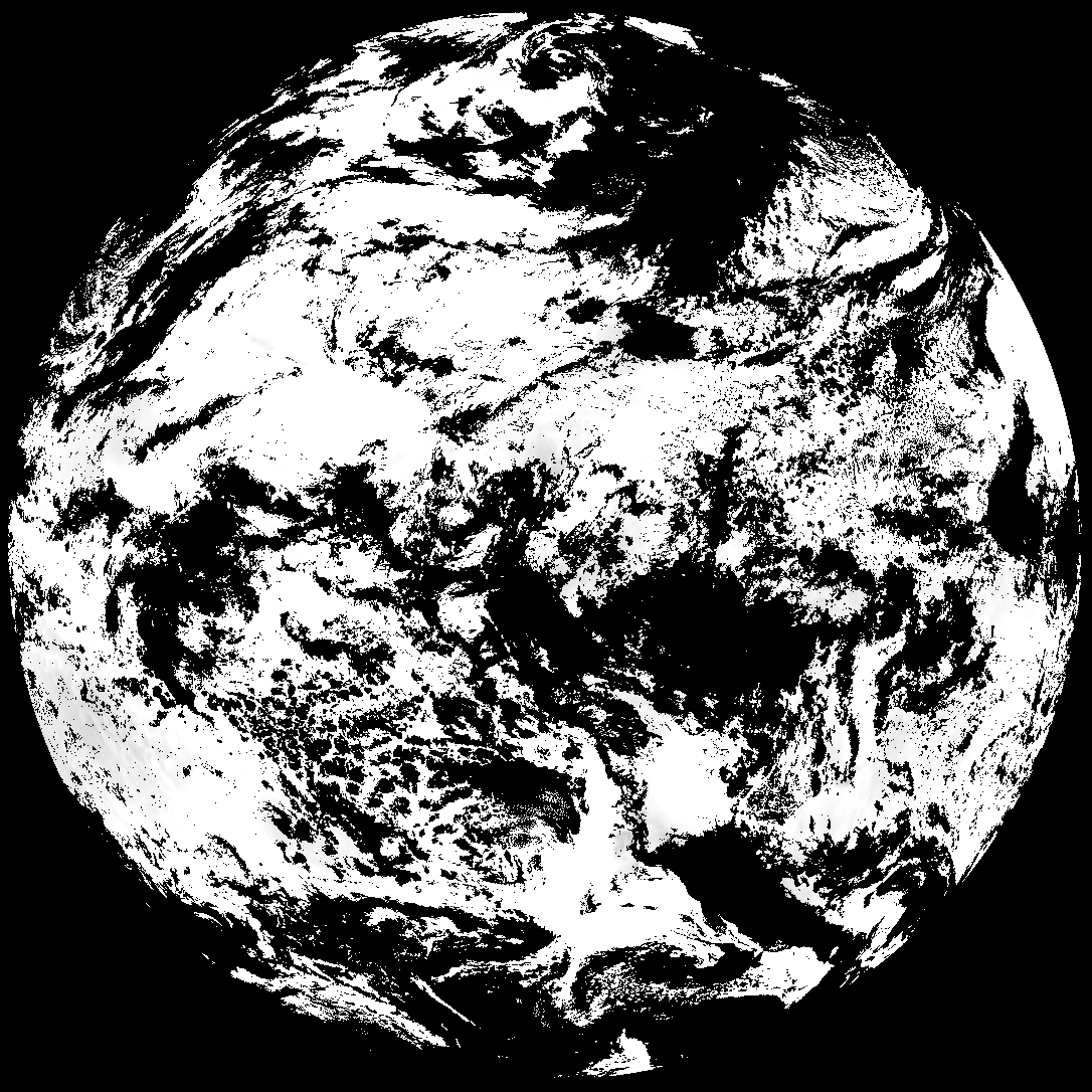
| abi_rgb_Derived_Stability_Indices_-_CAPE.png | 194750 | 2026-Feb-12 18:40 |
| abi_rgb_Derived_Stability_Indices_-_CAPE_map.png | 209646 | 2026-Feb-12 18:40 |
| G19_SST_20260212T180021Z.png | 7087581 | 2026-Feb-12 19:09 |
| abi_rgb_Sea_Surface_Temperature.png | 7549454 | 2026-Feb-12 19:09 |
| abi_rgb_Sea_Surface_Temperature_map.png | 7652255 | 2026-Feb-12 19:09 |
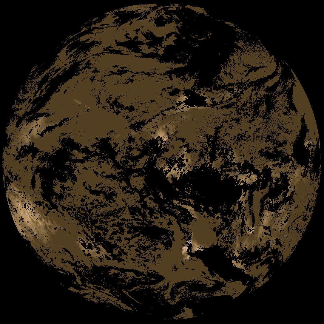
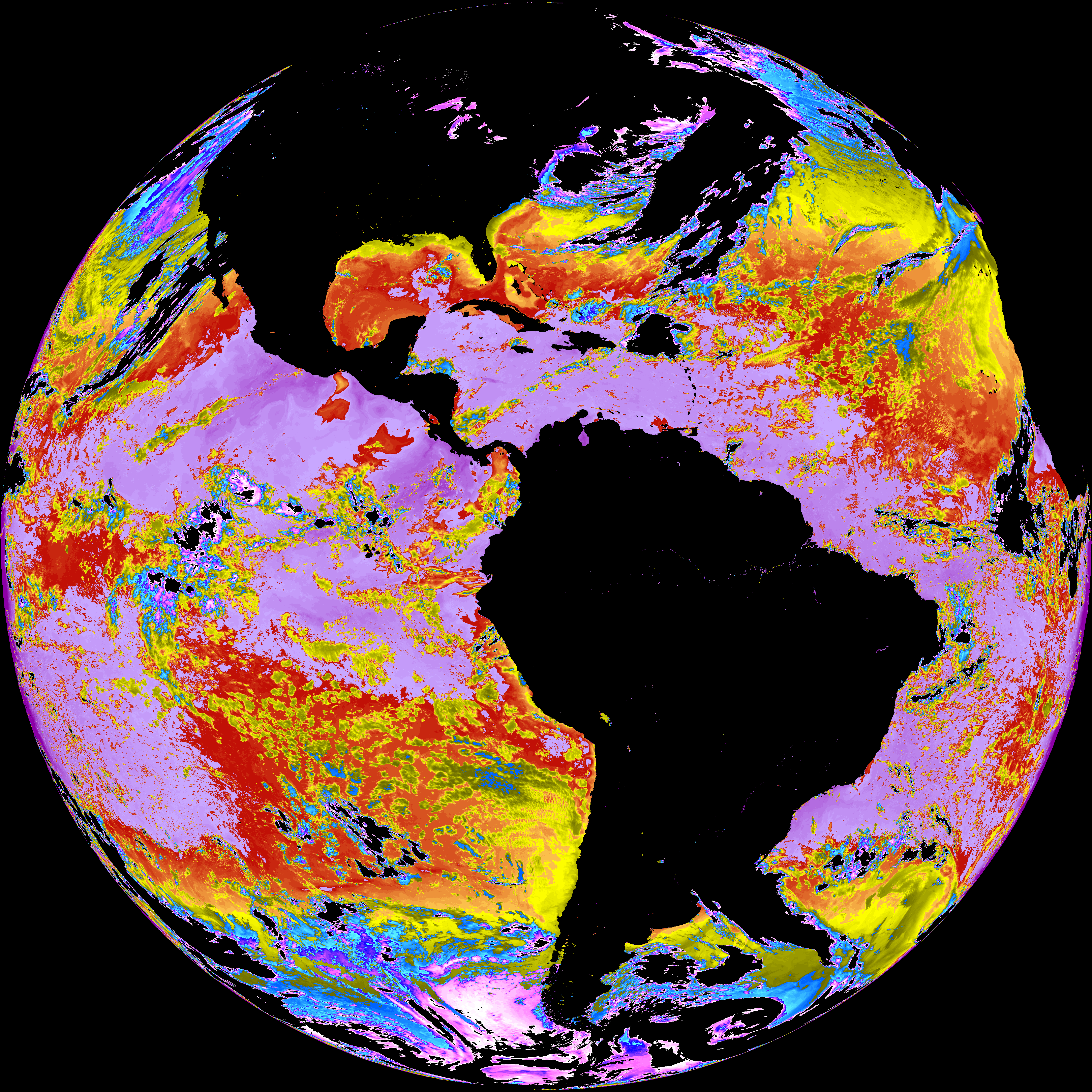
| G19_ACHT_20260212T180021Z.png | 10330001 | 2026-Feb-12 19:06 |
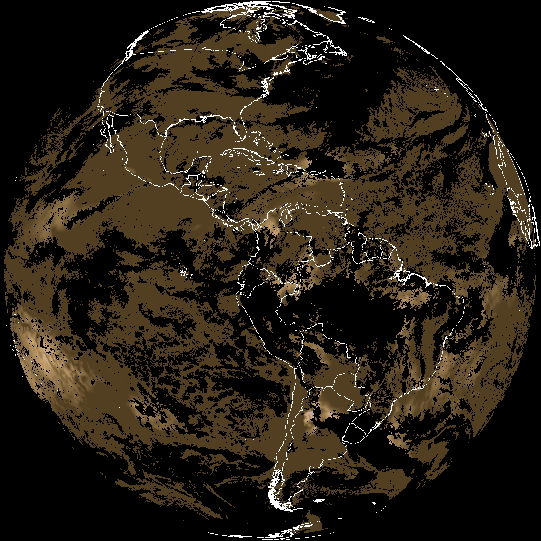
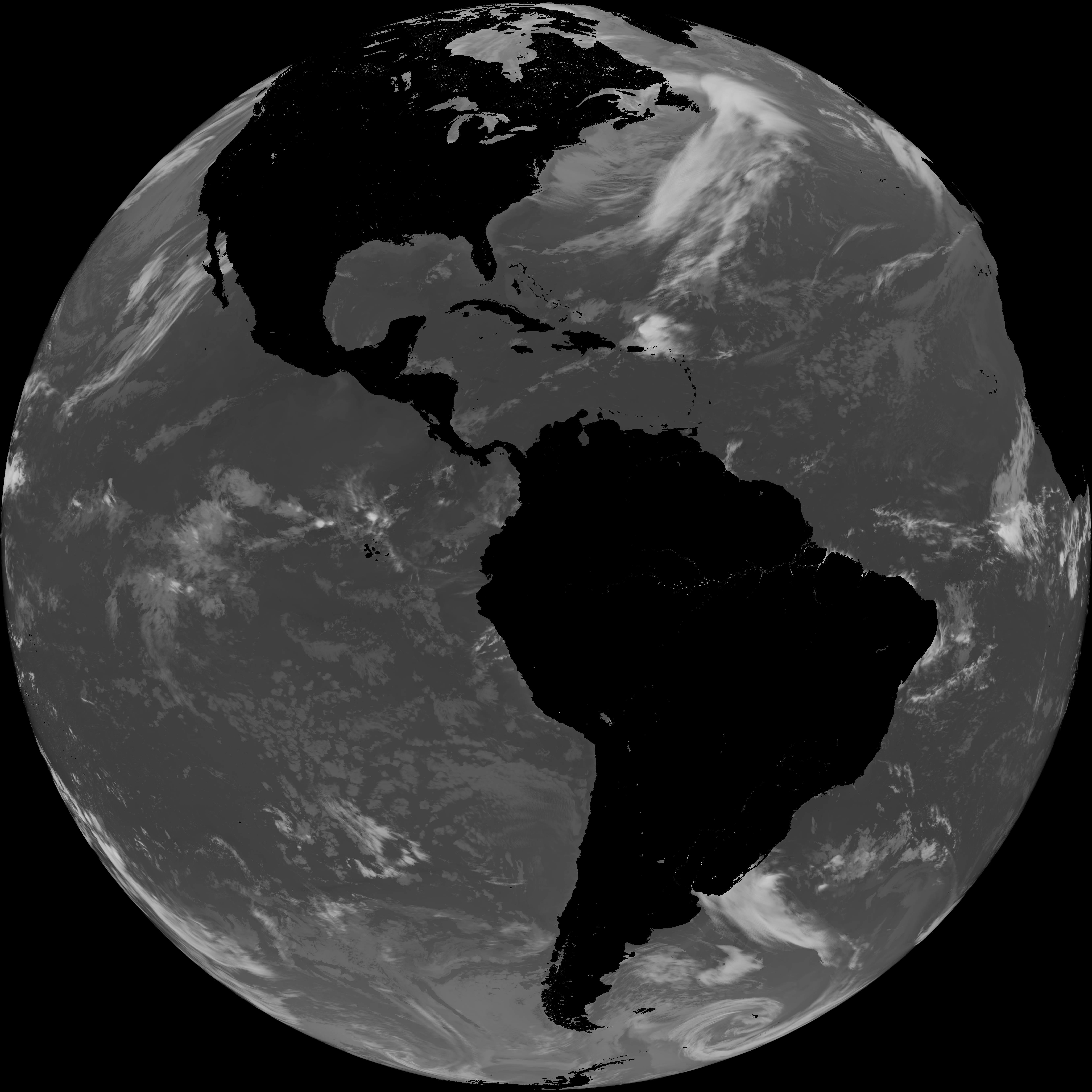
| abi_rgb_Cloud_top_Temperature_(ACHT).png | 14066162 | 2026-Feb-12 19:06 |
| abi_rgb_Cloud_top_Temperature_(ACHT)_map.png | 14156190 | 2026-Feb-12 19:06 |