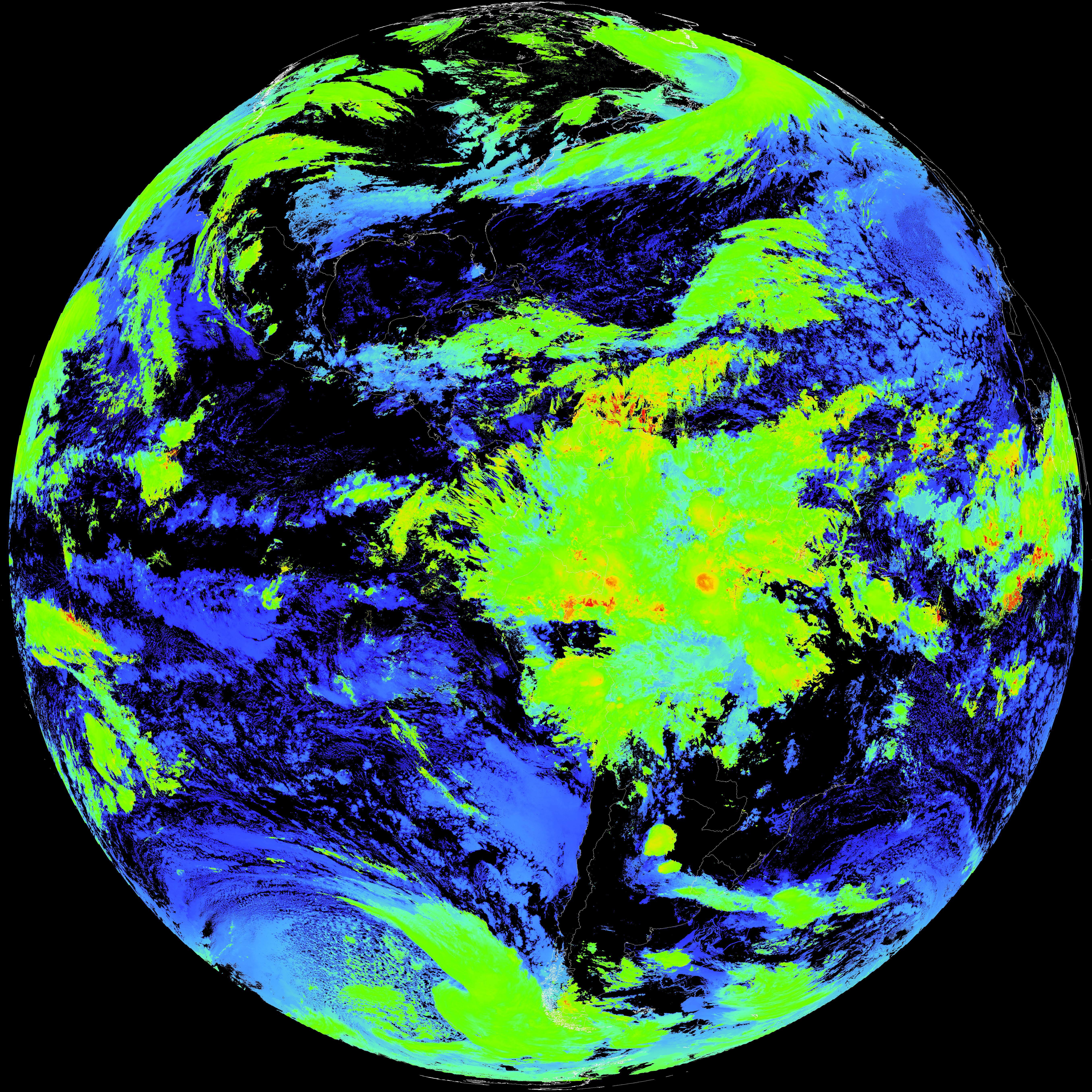
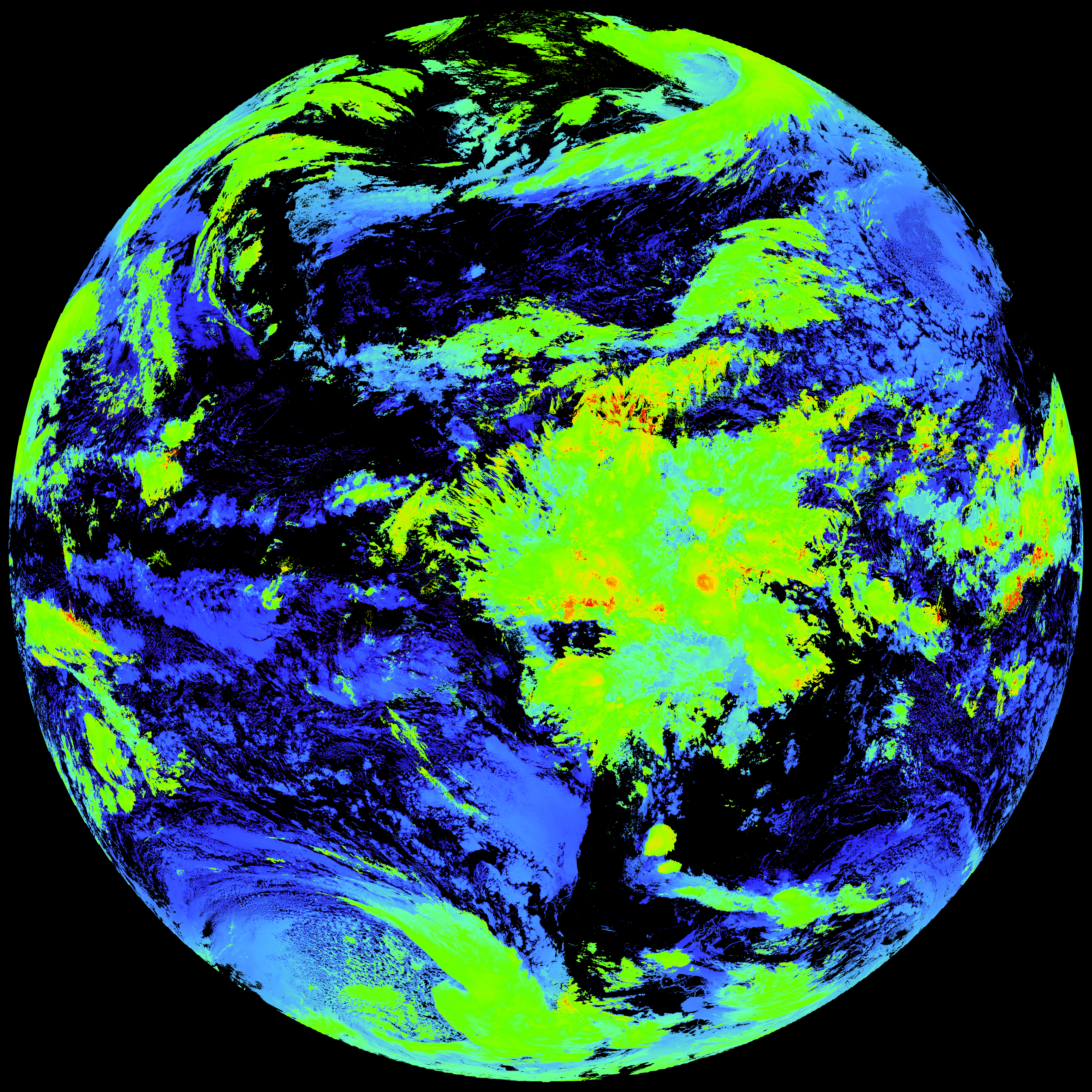
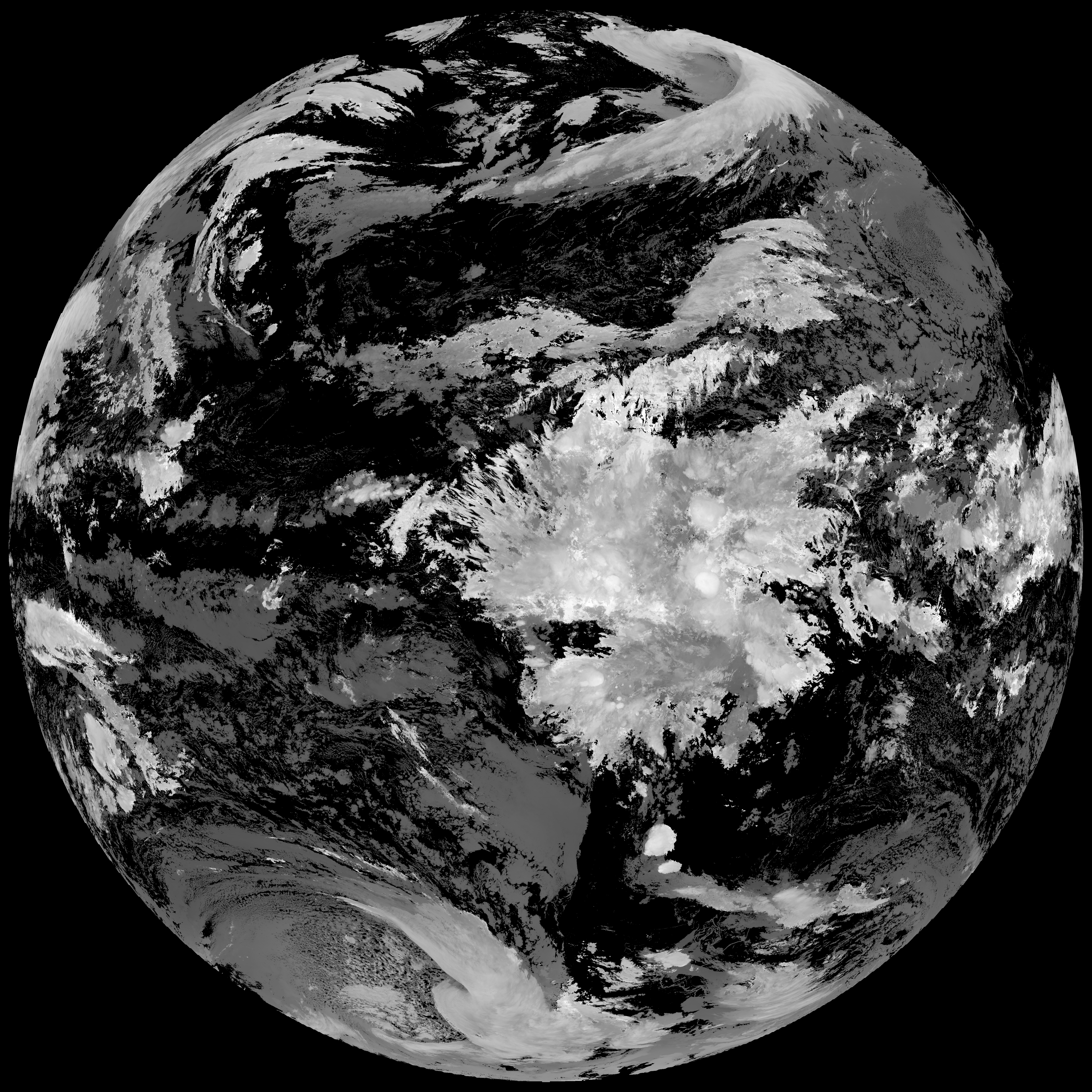
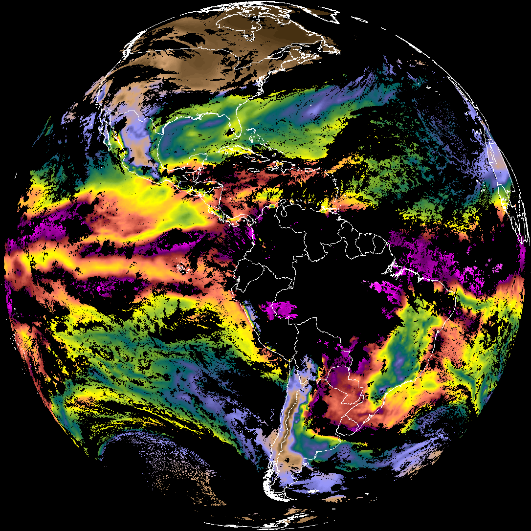
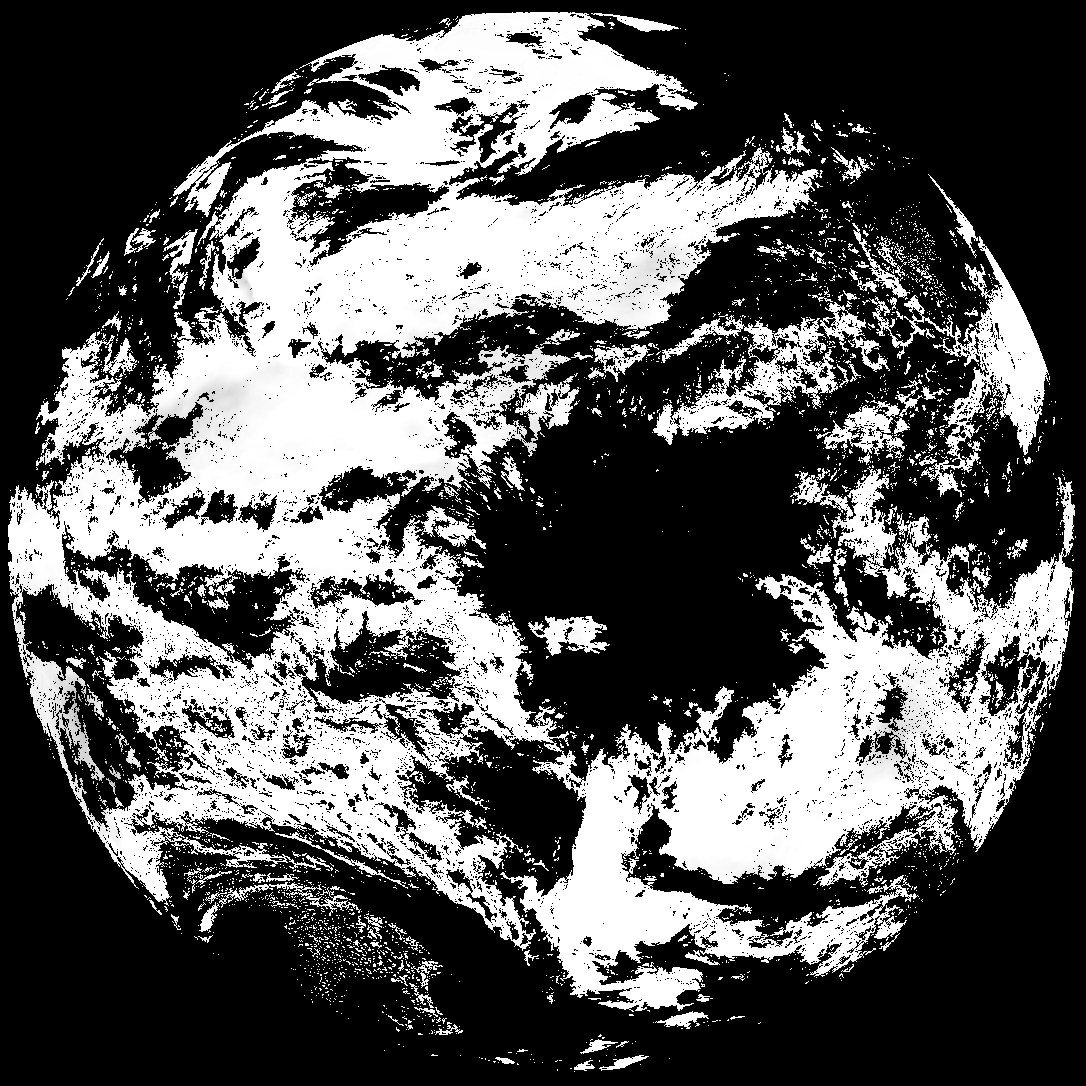
Quicklook renderings of ABI Level-2 geophysical fields. Each timestamp mirrors an imagery folder and includes a product.cbor metadata file.
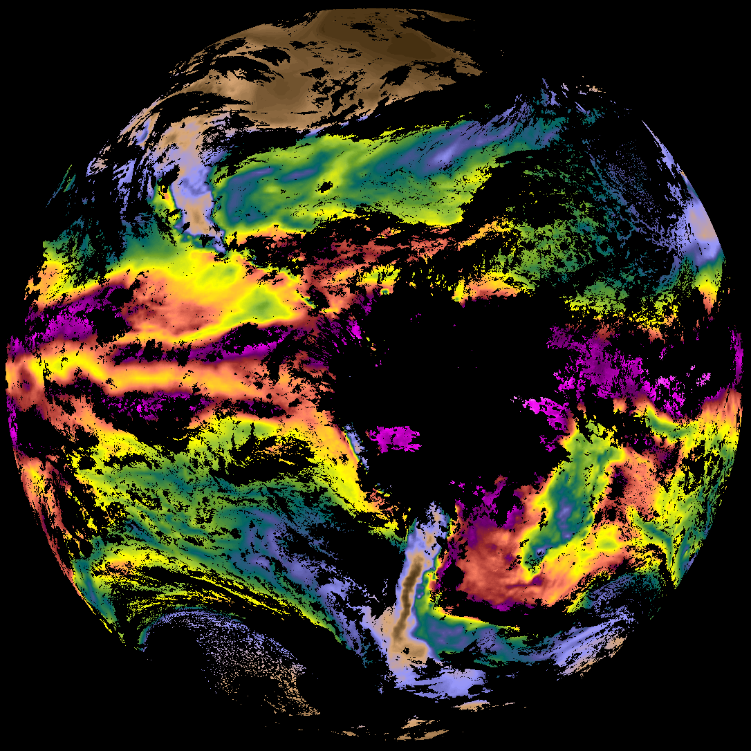
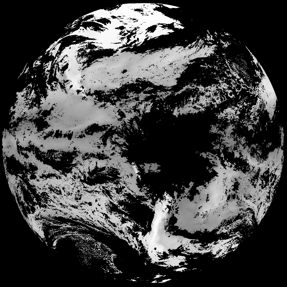
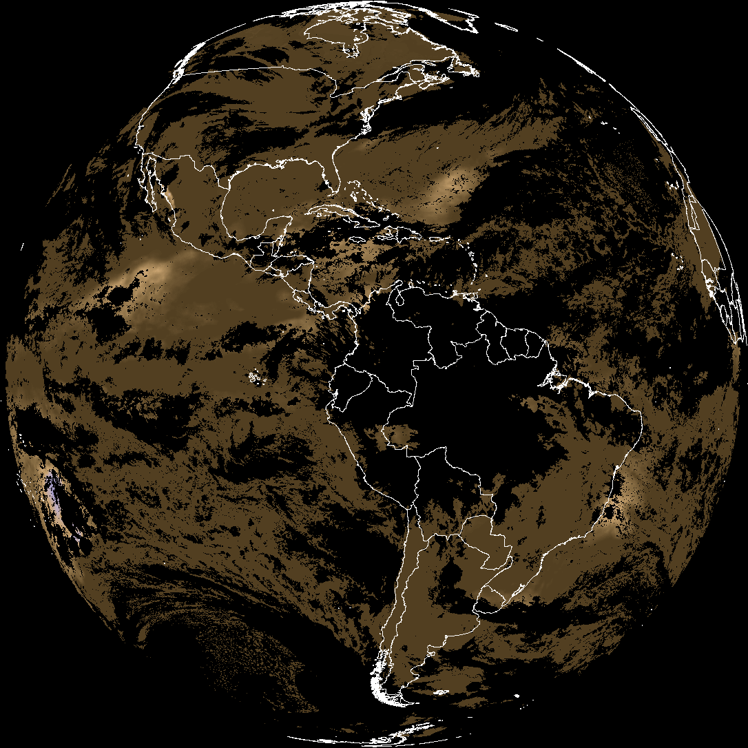
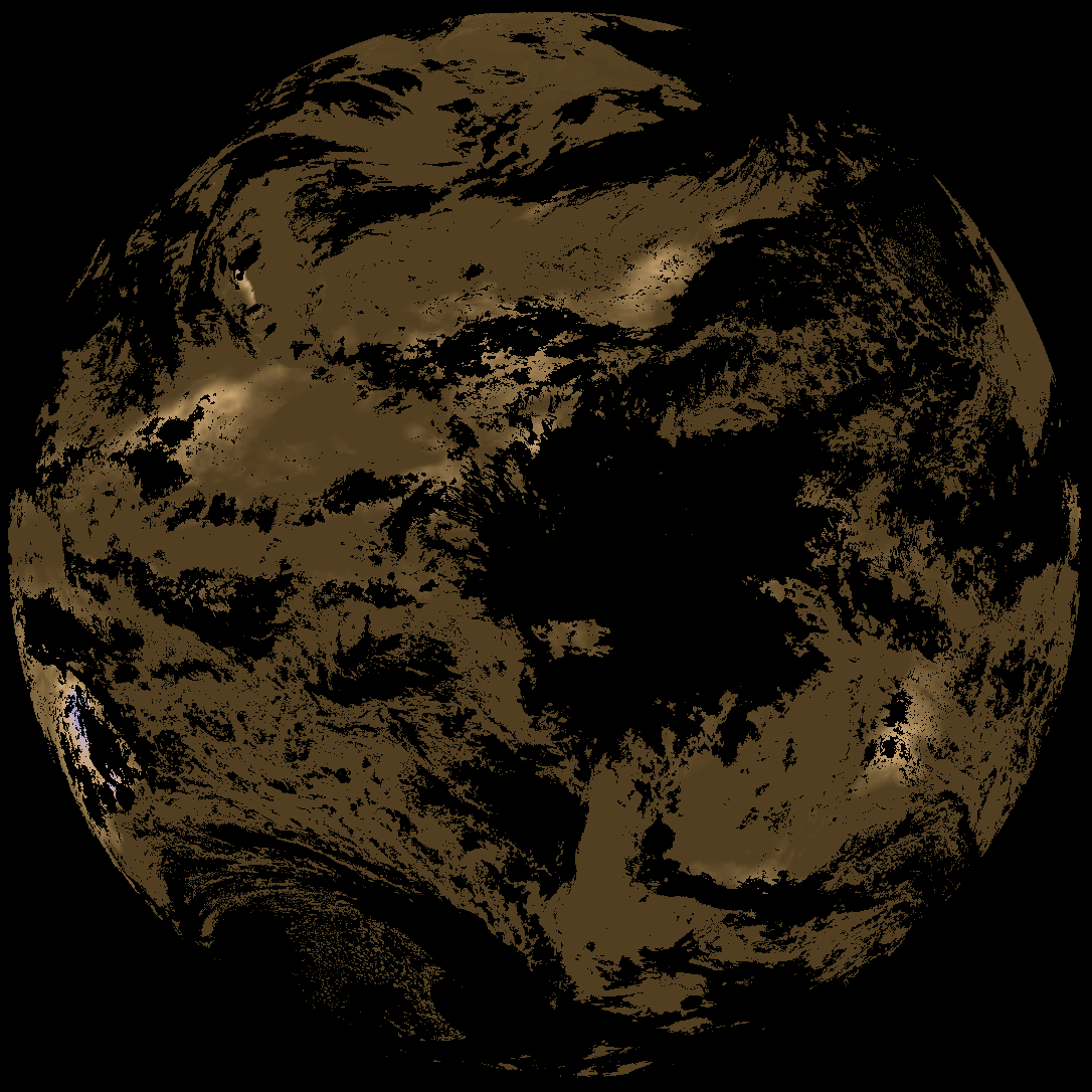
ACHT/ACHA), Derived Stability Indices (DSI), Total Precipitable Water (TPW), Rain Rate/QPE (RRQPE).SST/LST).G19_TPW_YYYYMMDDThhmmssZ.png with matching abi_rgb_* composites.The accompanying product.cbor files contain projection details that map pixels to Earth coordinates and physical units.
| File Name ↓ | File Size ↓ | Date ↓ |
|---|---|---|
| Parent directory/ | - | - |
| abi_rgb_Cloud_top_Temperature_(ACHT)_map.png | 15353778 | 2026-Mar-28 05:30 |
| abi_rgb_Cloud_top_Temperature_(ACHT).png | 15274258 | 2026-Mar-28 05:30 |
| G19_ACHT_20260328T050020Z.png | 11302285 | 2026-Mar-28 05:30 |
| abi_rgb_Total_Precipitable_Water_map.png | 335774 | 2026-Mar-28 05:26 |
| abi_rgb_Total_Precipitable_Water.png | 322855 | 2026-Mar-28 05:26 |
| G19_TPW_20260328T050020Z.png | 248955 | 2026-Mar-28 05:26 |
| abi_rgb_Derived_Stability_Indices_-_CAPE_map.png | 180385 | 2026-Mar-28 05:31 |
| abi_rgb_Derived_Stability_Indices_-_CAPE.png | 165882 | 2026-Mar-28 05:31 |
| G19_DSI_20260328T050020Z.png | 124350 | 2026-Mar-28 05:31 |
| product.cbor | 554 | 2026-Mar-28 05:31 |