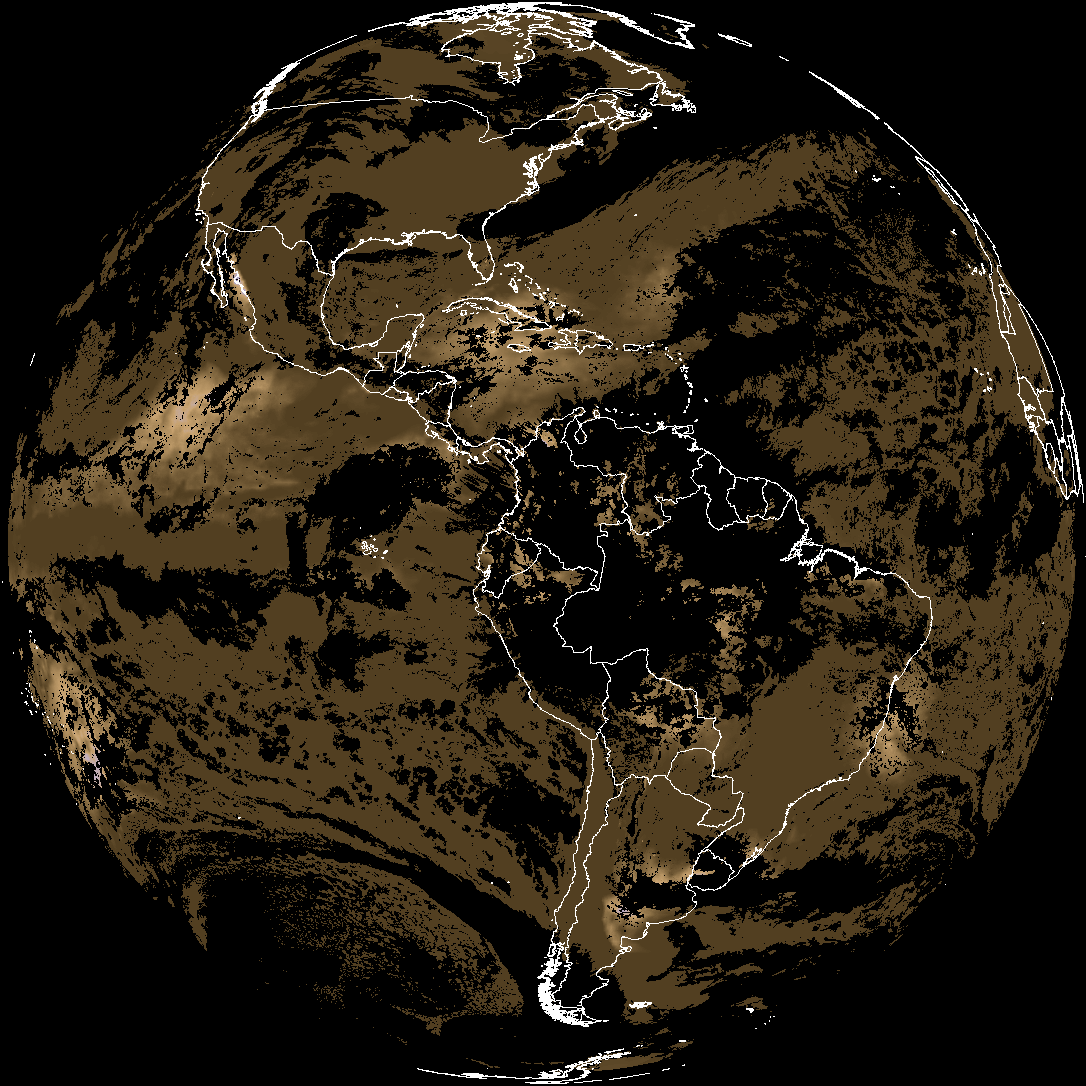
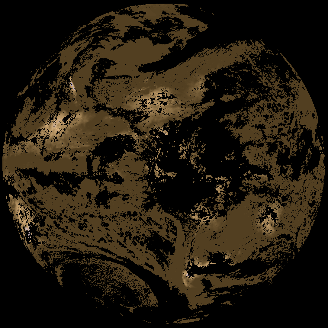
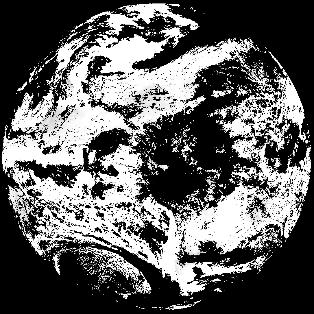
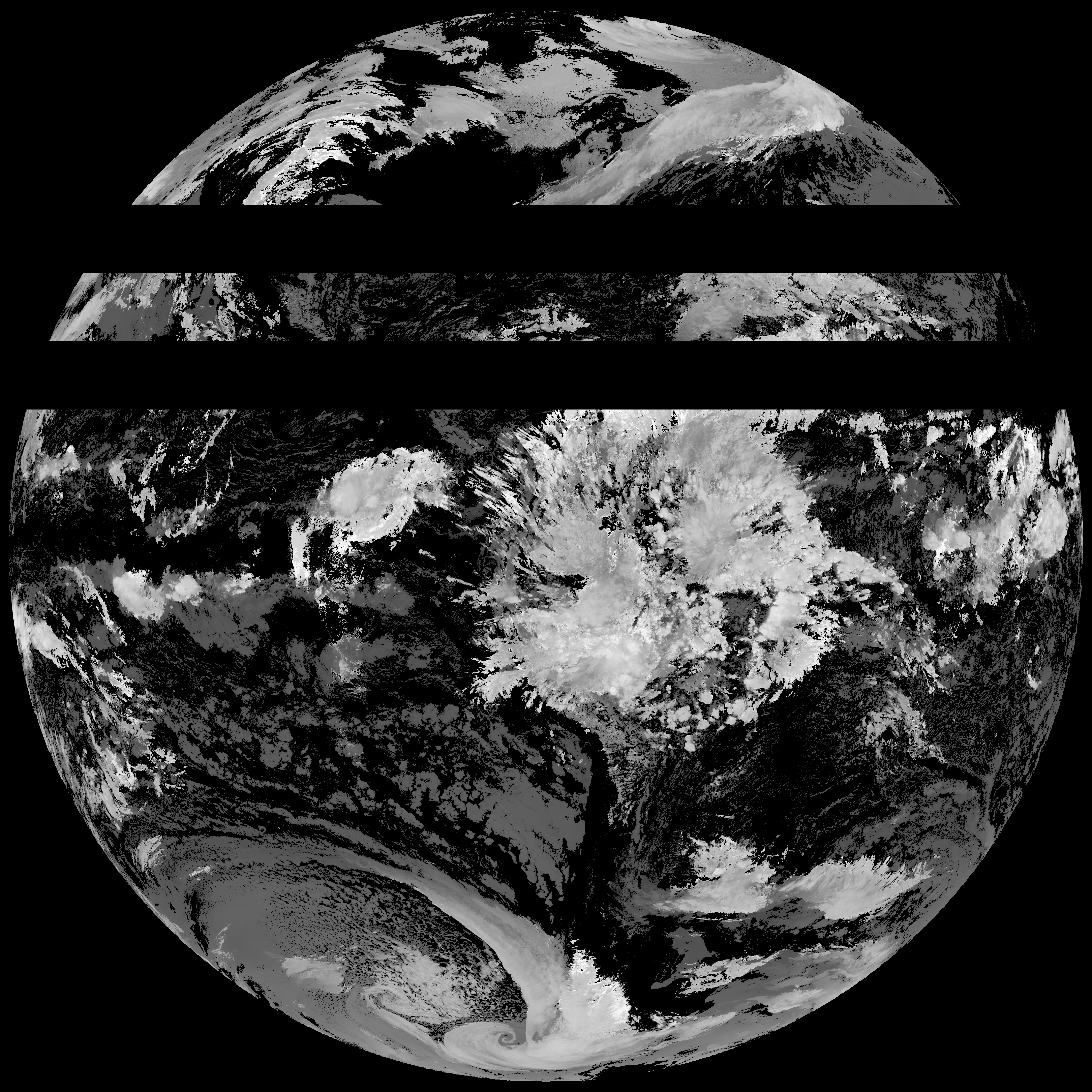
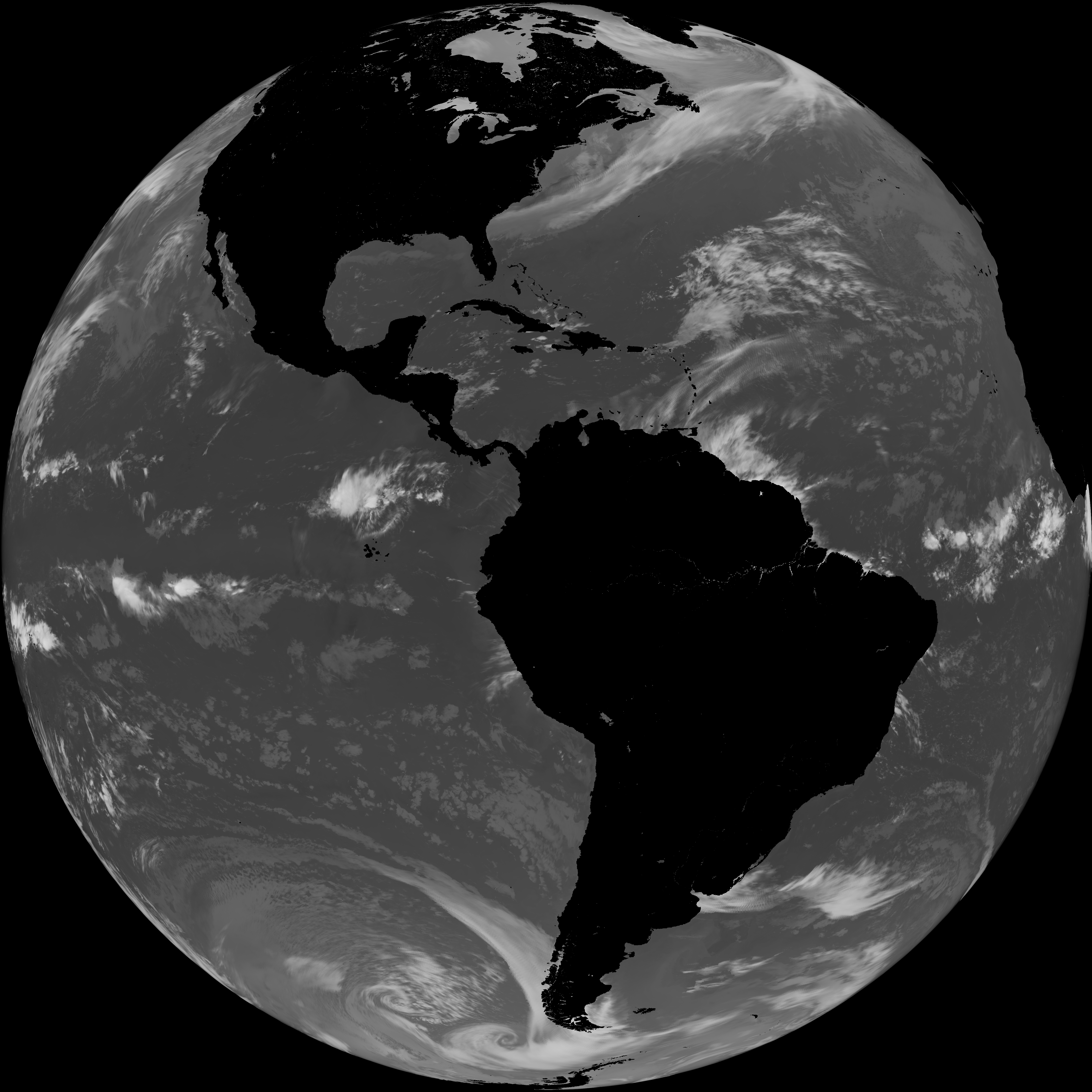
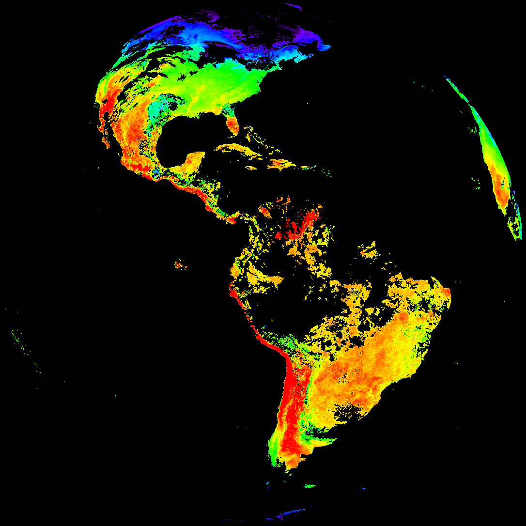
Quicklook renderings of ABI Level-2 geophysical fields. Each timestamp mirrors an imagery folder and includes a product.cbor metadata file.
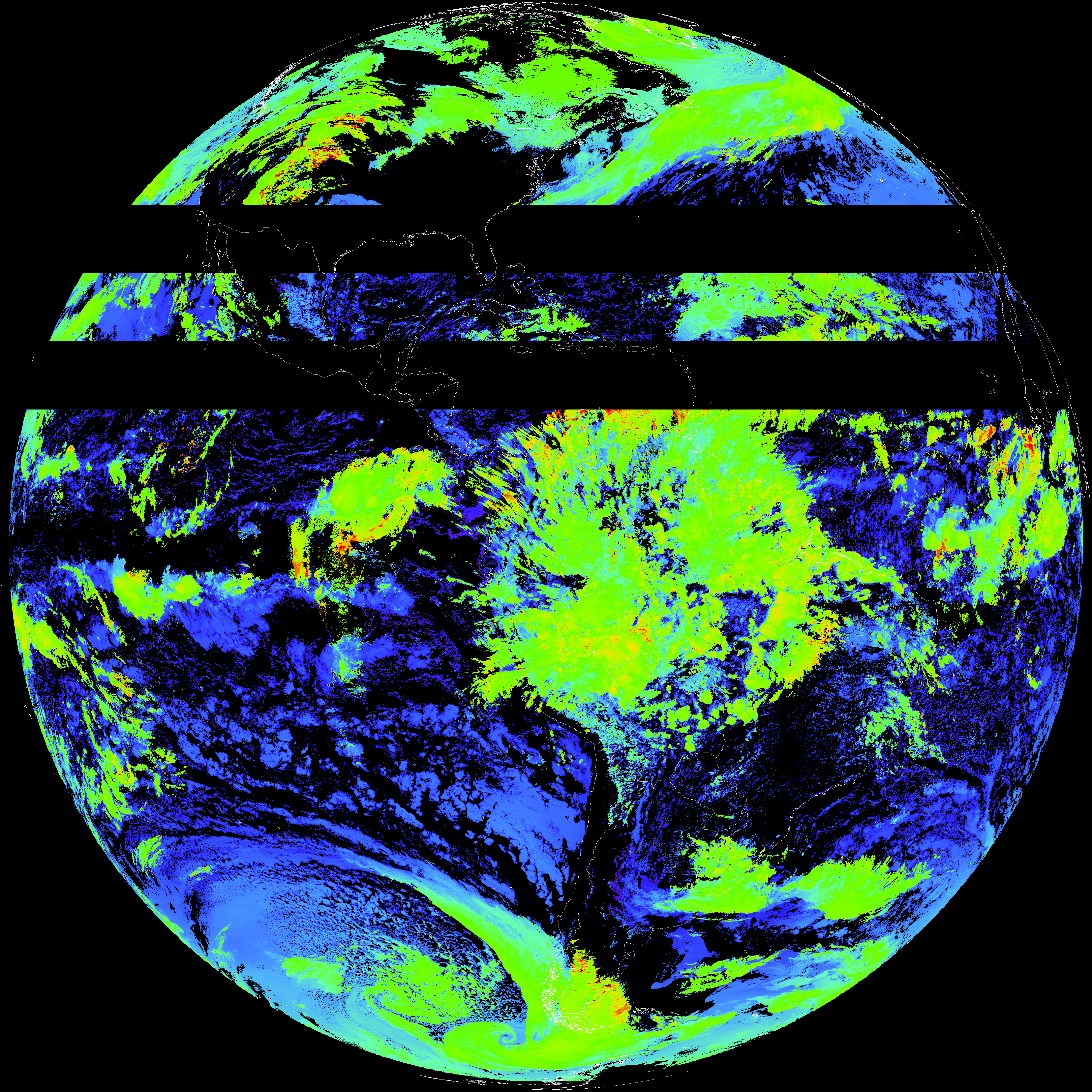
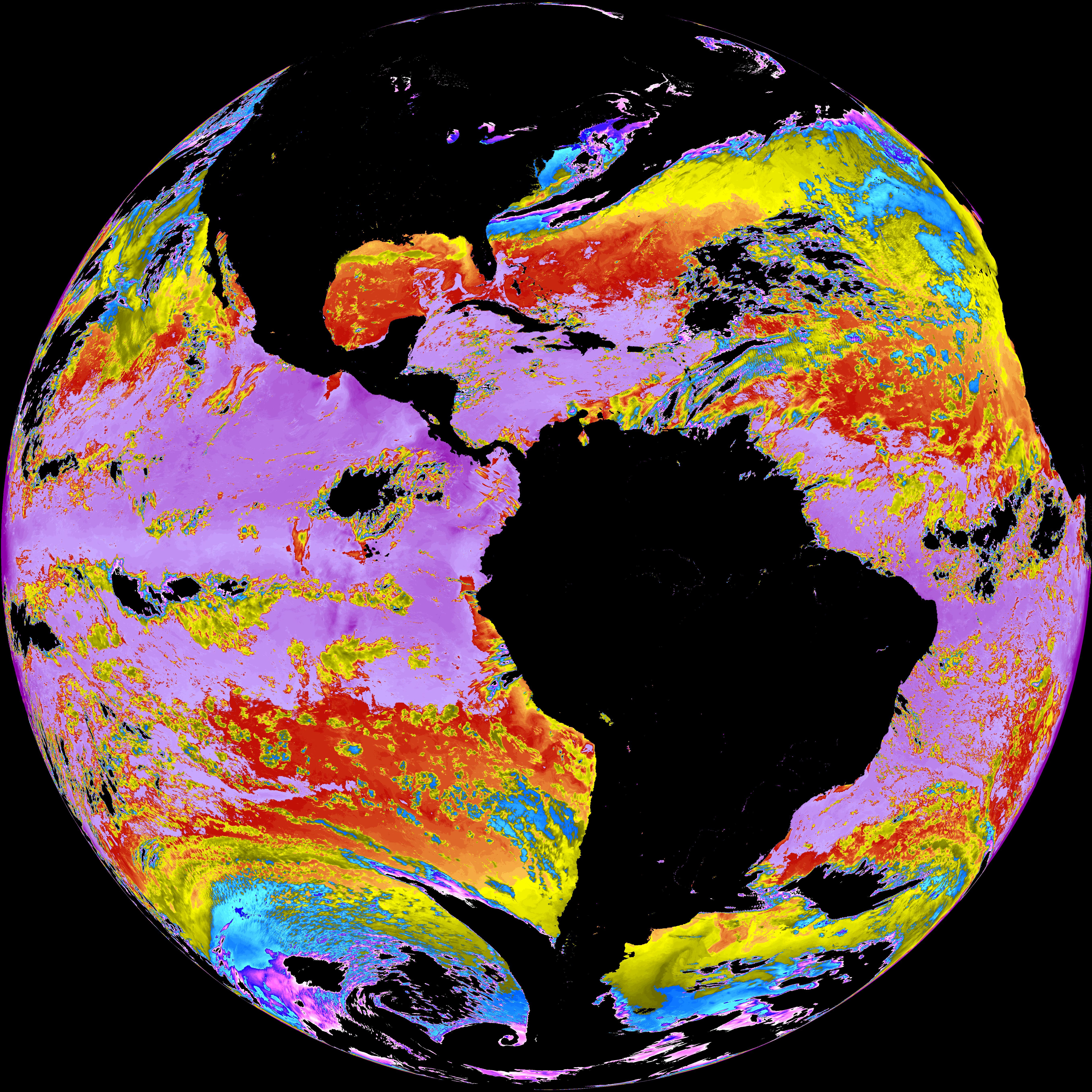
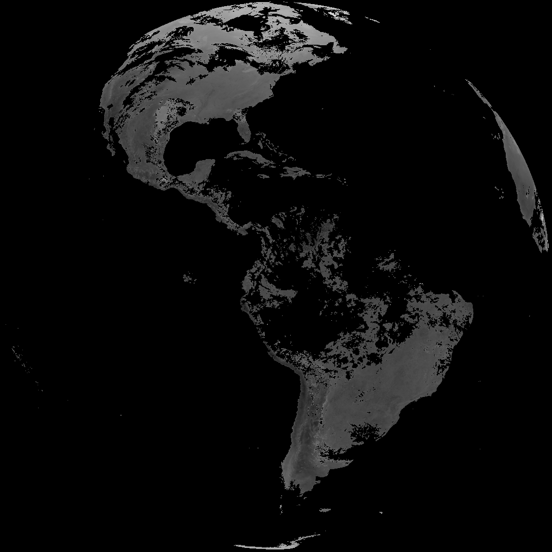
ACHT/ACHA), Derived Stability Indices (DSI), Total Precipitable Water (TPW), Rain Rate/QPE (RRQPE).SST/LST).G19_TPW_YYYYMMDDThhmmssZ.png with matching abi_rgb_* composites.The accompanying product.cbor files contain projection details that map pixels to Earth coordinates and physical units.
| File Name ↓ | File Size ↓ | Date ↓ |
|---|---|---|
| Parent directory/ | - | - |
| abi_rgb_Derived_Stability_Indices_-_CAPE_map.png | 205553 | 2026-Mar-28 18:40 |
| abi_rgb_Derived_Stability_Indices_-_CAPE.png | 192171 | 2026-Mar-28 18:40 |
| G19_DSI_20260328T180021Z.png | 143357 | 2026-Mar-28 18:40 |
| G19_ACHT_20260328T180021Z.png | 9914758 | 2026-Mar-28 19:06 |
| abi_rgb_Cloud_top_Temperature_(ACHT).png | 13535942 | 2026-Mar-28 19:06 |
| abi_rgb_Cloud_top_Temperature_(ACHT)_map.png | 13628354 | 2026-Mar-28 19:06 |
| G19_SST_20260328T180021Z.png | 7324976 | 2026-Mar-28 19:08 |
| abi_rgb_Sea_Surface_Temperature.png | 7462296 | 2026-Mar-28 19:09 |
| abi_rgb_Sea_Surface_Temperature_map.png | 7562598 | 2026-Mar-28 19:09 |
| product.cbor | 621 | 2026-Mar-28 19:12 |
| G19_LST_20260328T180021Z.png | 133616 | 2026-Mar-28 19:12 |
| abi_rgb_Land_Surface_Temperature.png | 171203 | 2026-Mar-28 19:12 |
| abi_rgb_Land_Surface_Temperature_map.png | 178826 | 2026-Mar-28 19:12 |