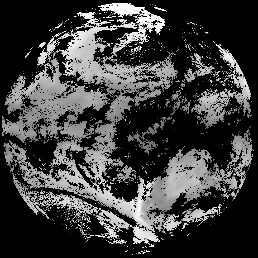
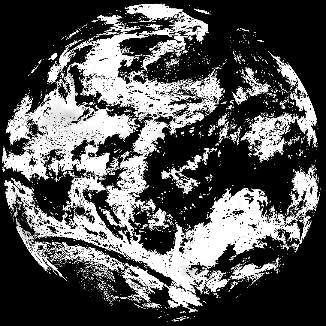
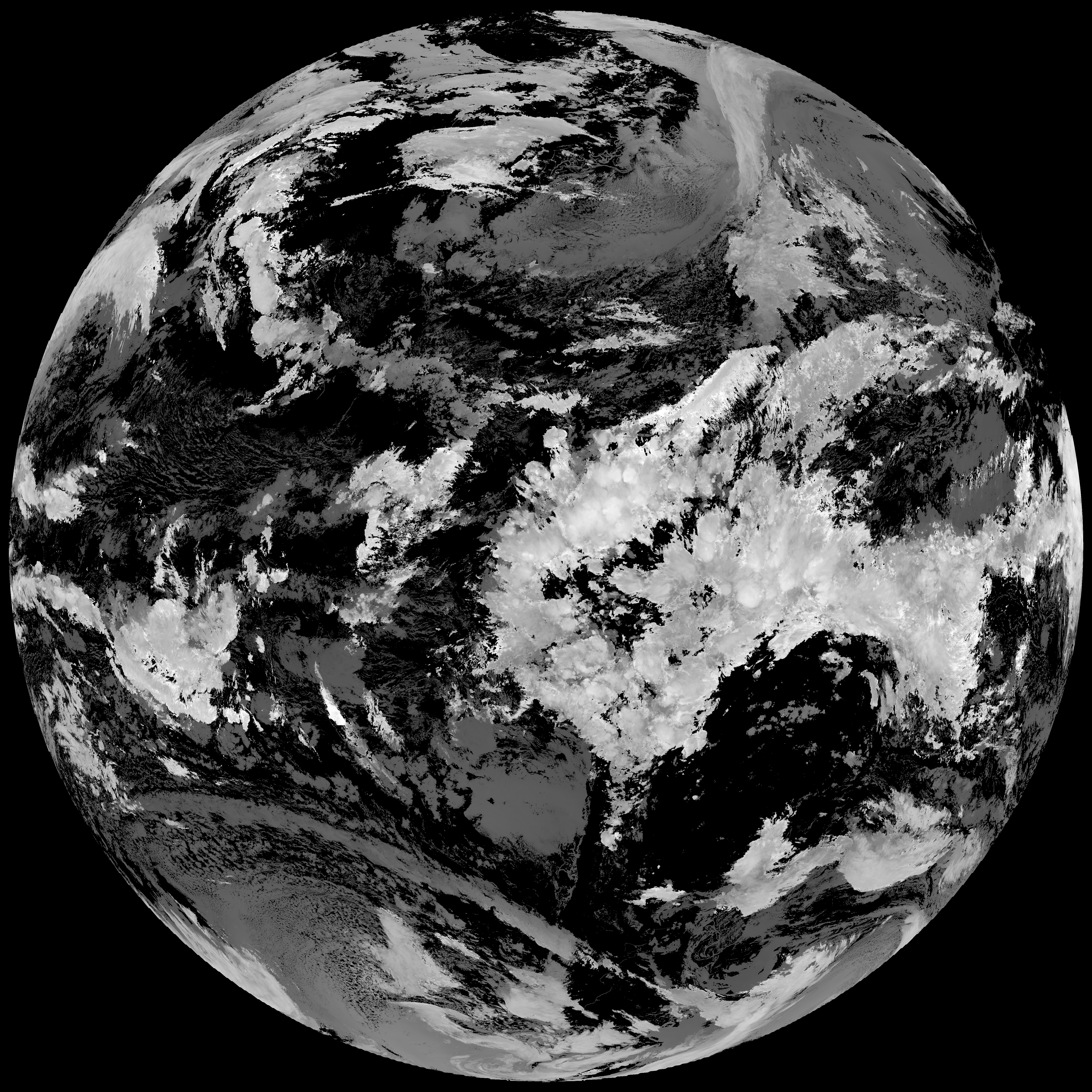
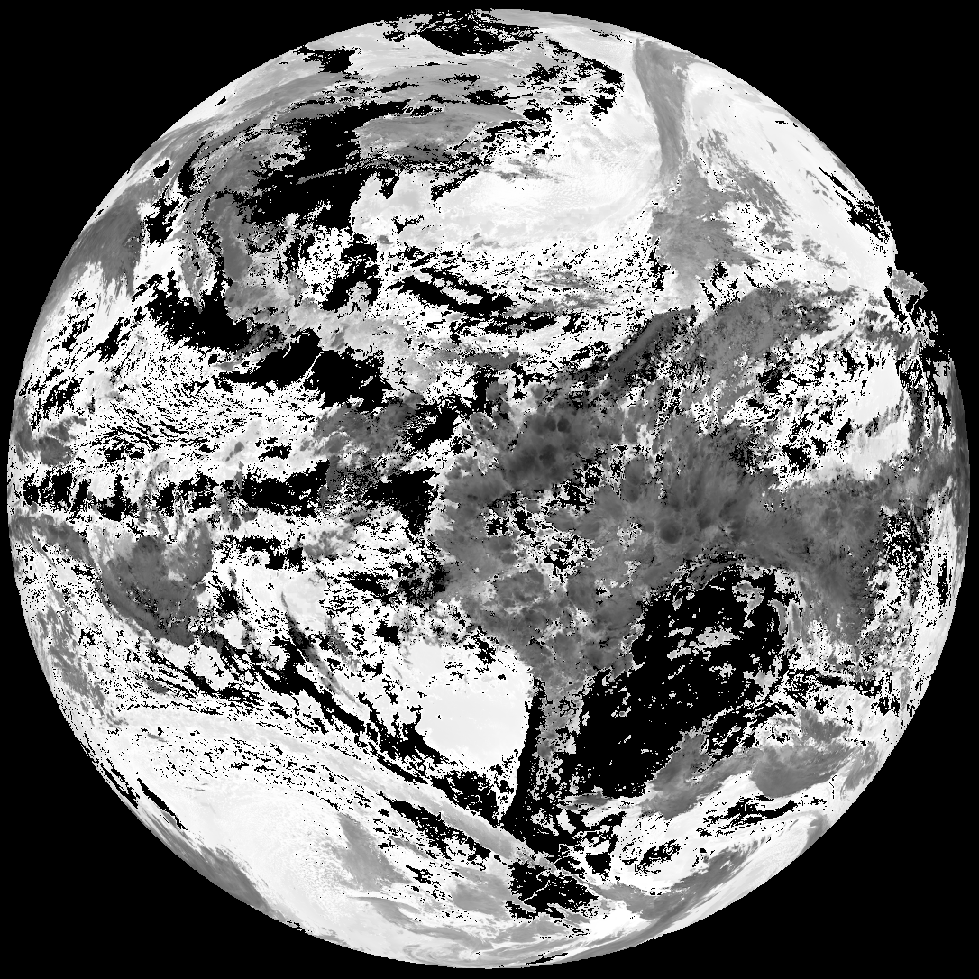
Quicklook renderings of ABI Level-2 geophysical fields. Each timestamp mirrors an imagery folder and includes a product.cbor metadata file.
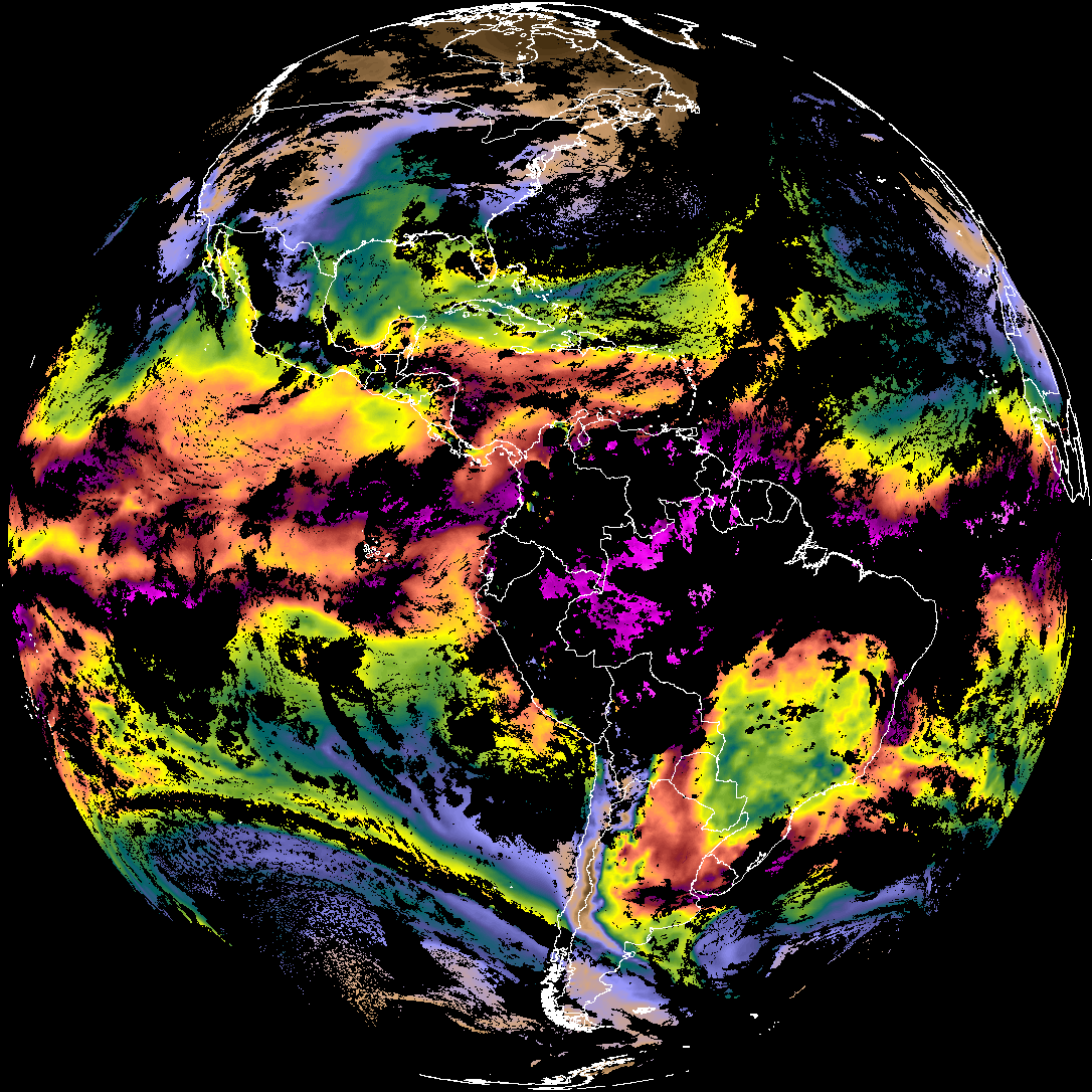
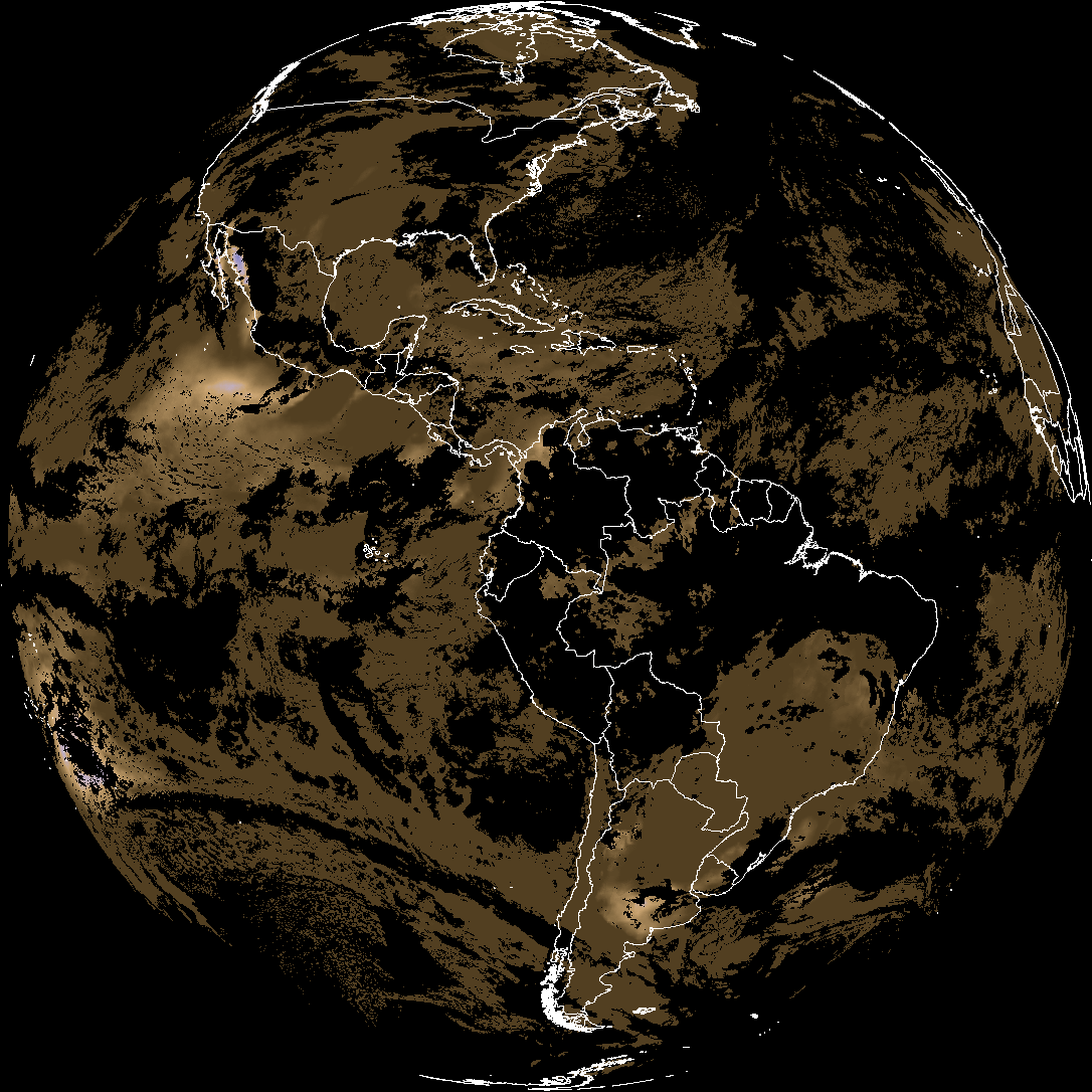
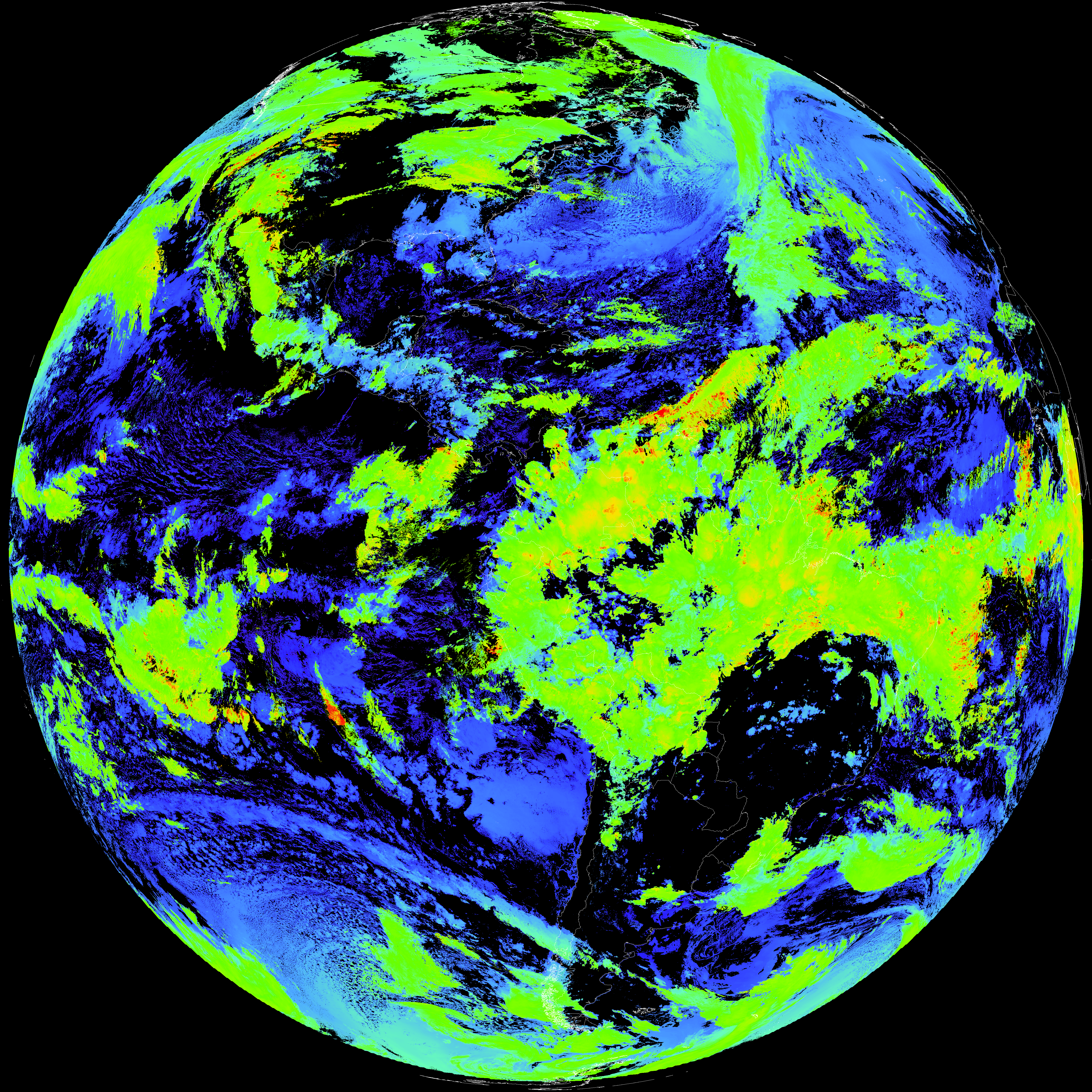
ACHT/ACHA), Derived Stability Indices (DSI), Total Precipitable Water (TPW), Rain Rate/QPE (RRQPE).SST/LST).G19_TPW_YYYYMMDDThhmmssZ.png with matching abi_rgb_* composites.The accompanying product.cbor files contain projection details that map pixels to Earth coordinates and physical units.
| File Name ↓ | File Size ↓ | Date ↓ |
|---|---|---|
| Parent directory/ | - | - |
| product.cbor | 623 | 2026-Mar-29 23:35 |
| abi_rgb_Total_Precipitable_Water_map.png | 337176 | 2026-Mar-29 23:29 |
| abi_rgb_Total_Precipitable_Water.png | 324573 | 2026-Mar-29 23:29 |
| abi_rgb_Derived_Stability_Indices_-_CAPE_map.png | 191947 | 2026-Mar-29 23:35 |
| abi_rgb_Derived_Stability_Indices_-_CAPE.png | 176638 | 2026-Mar-29 23:35 |
| abi_rgb_Cloud_top_Temperature_(ACHT)_map.png | 16316535 | 2026-Mar-29 23:35 |
| abi_rgb_Cloud_top_Temperature_(ACHT).png | 16234442 | 2026-Mar-29 23:35 |
| abi_rgb_AWG_Cloud_Height_Algorithm_(ACHA)_map.png | 902140 | 2026-Mar-29 23:35 |
| abi_rgb_AWG_Cloud_Height_Algorithm_(ACHA).png | 900333 | 2026-Mar-29 23:35 |
| G19_TPW_20260329T230021Z.png | 249872 | 2026-Mar-29 23:29 |
| G19_DSI_20260329T230021Z.png | 131266 | 2026-Mar-29 23:35 |
| G19_ACHT_20260329T230021Z.png | 12003534 | 2026-Mar-29 23:35 |
| G19_ACHA_20260329T230021Z.png | 638740 | 2026-Mar-29 23:35 |