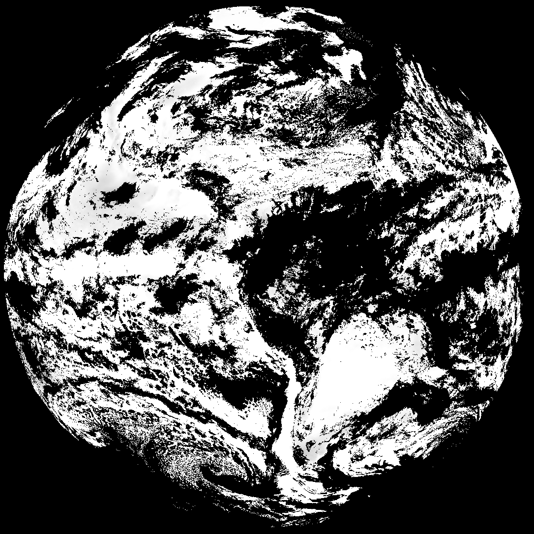
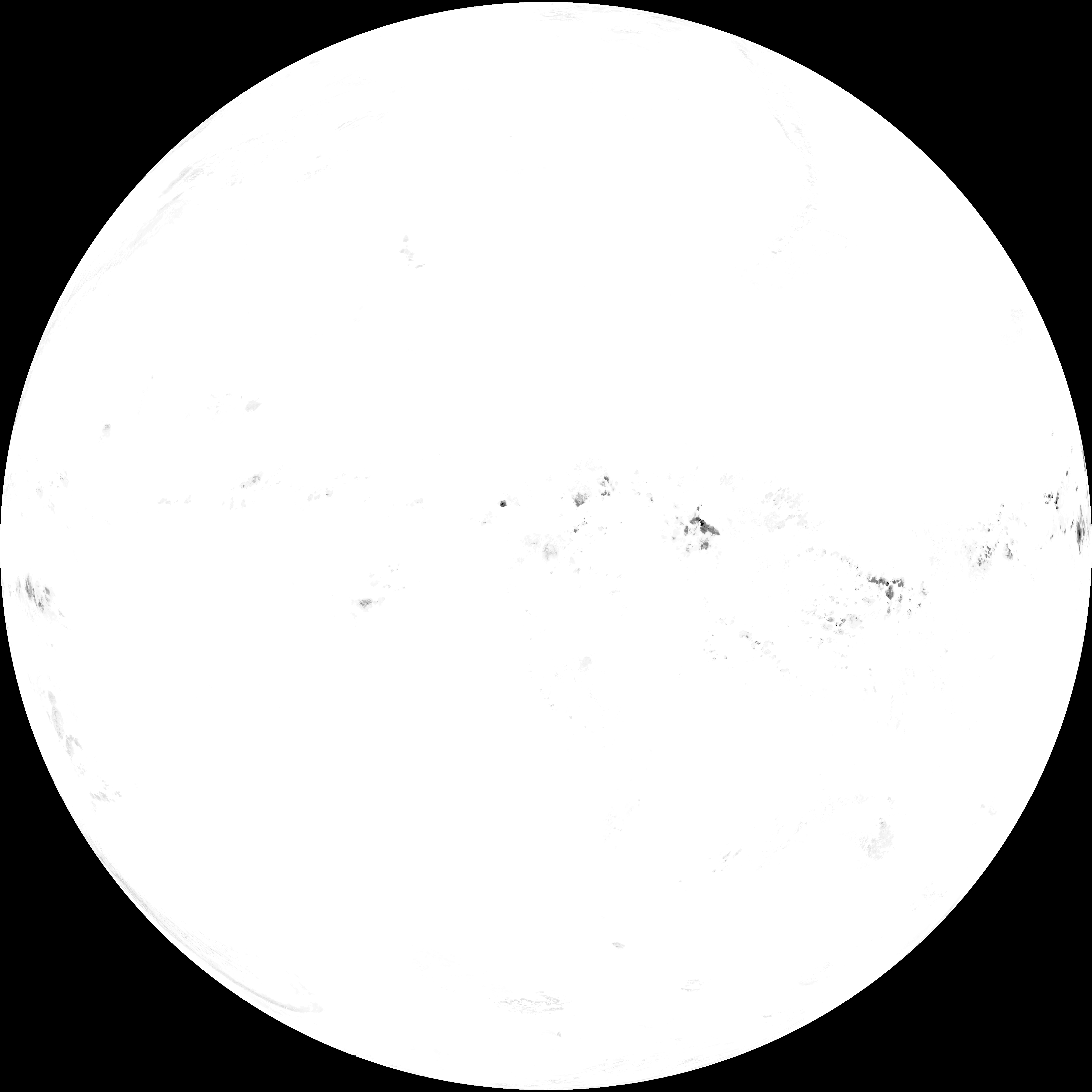
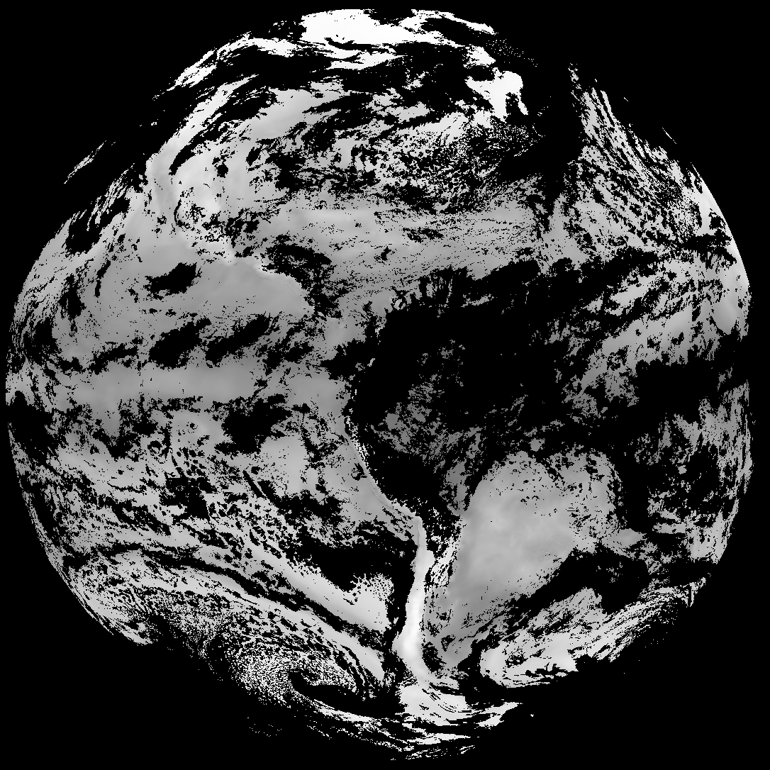
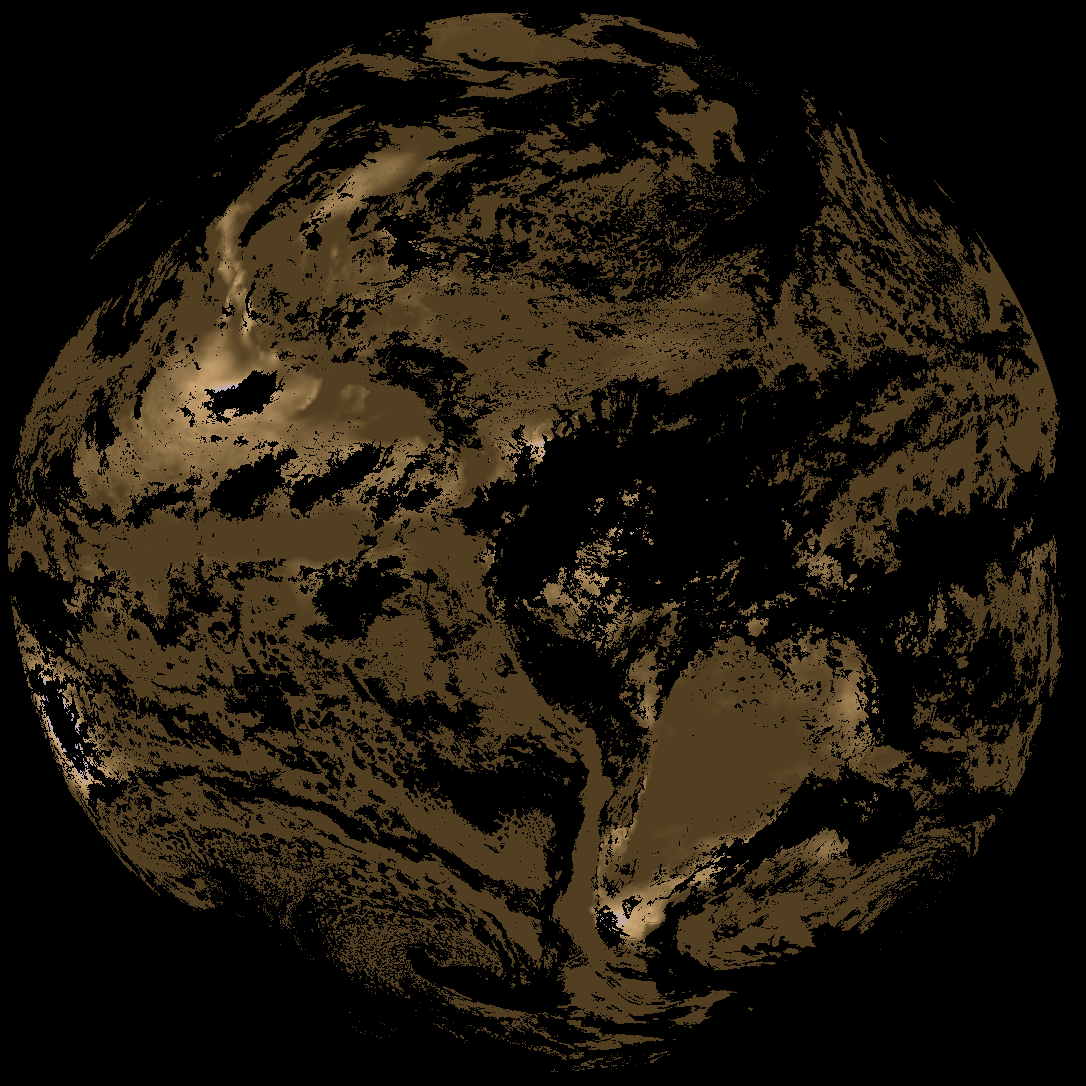
Quicklook renderings of ABI Level-2 geophysical fields. Each timestamp mirrors an imagery folder and includes a product.cbor metadata file.
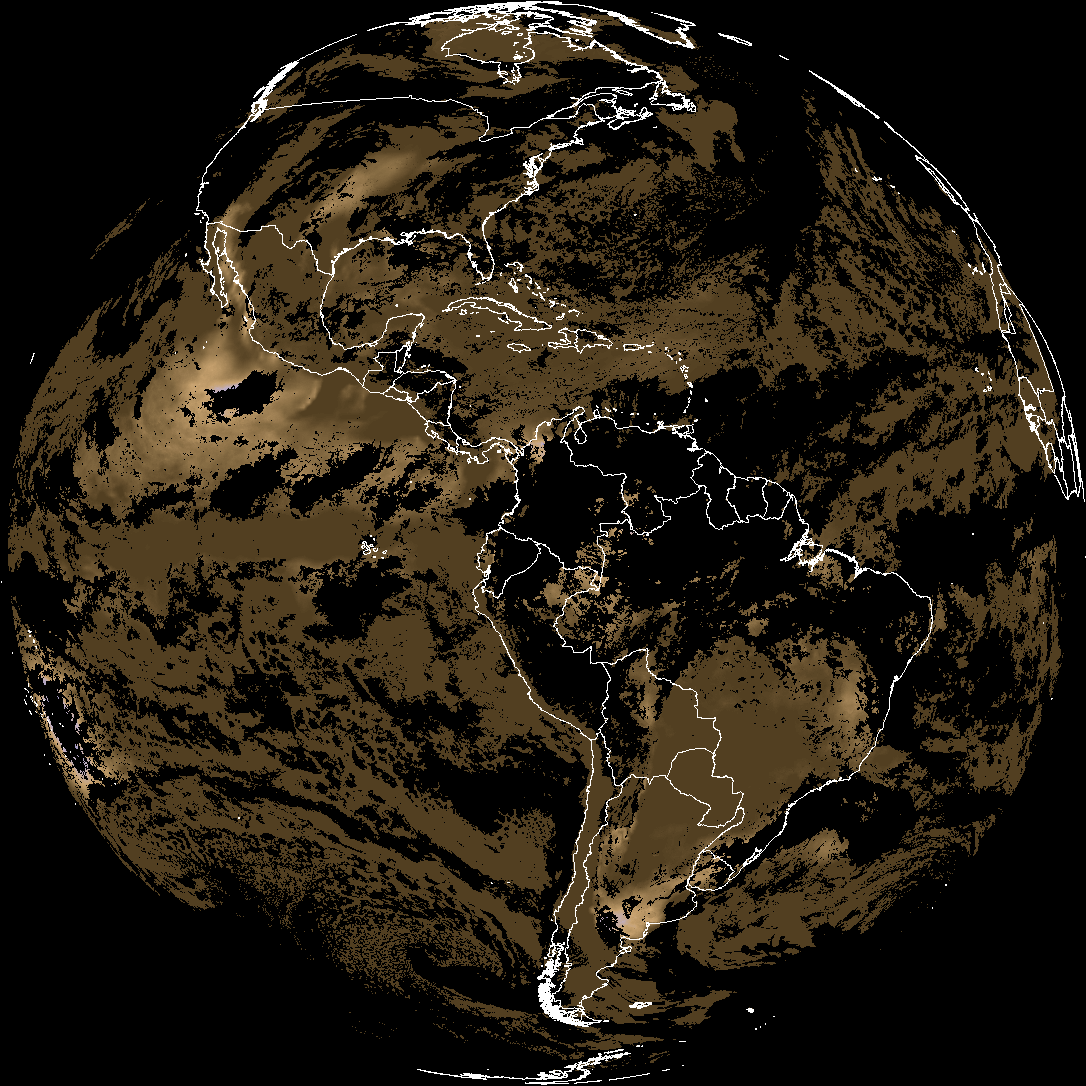
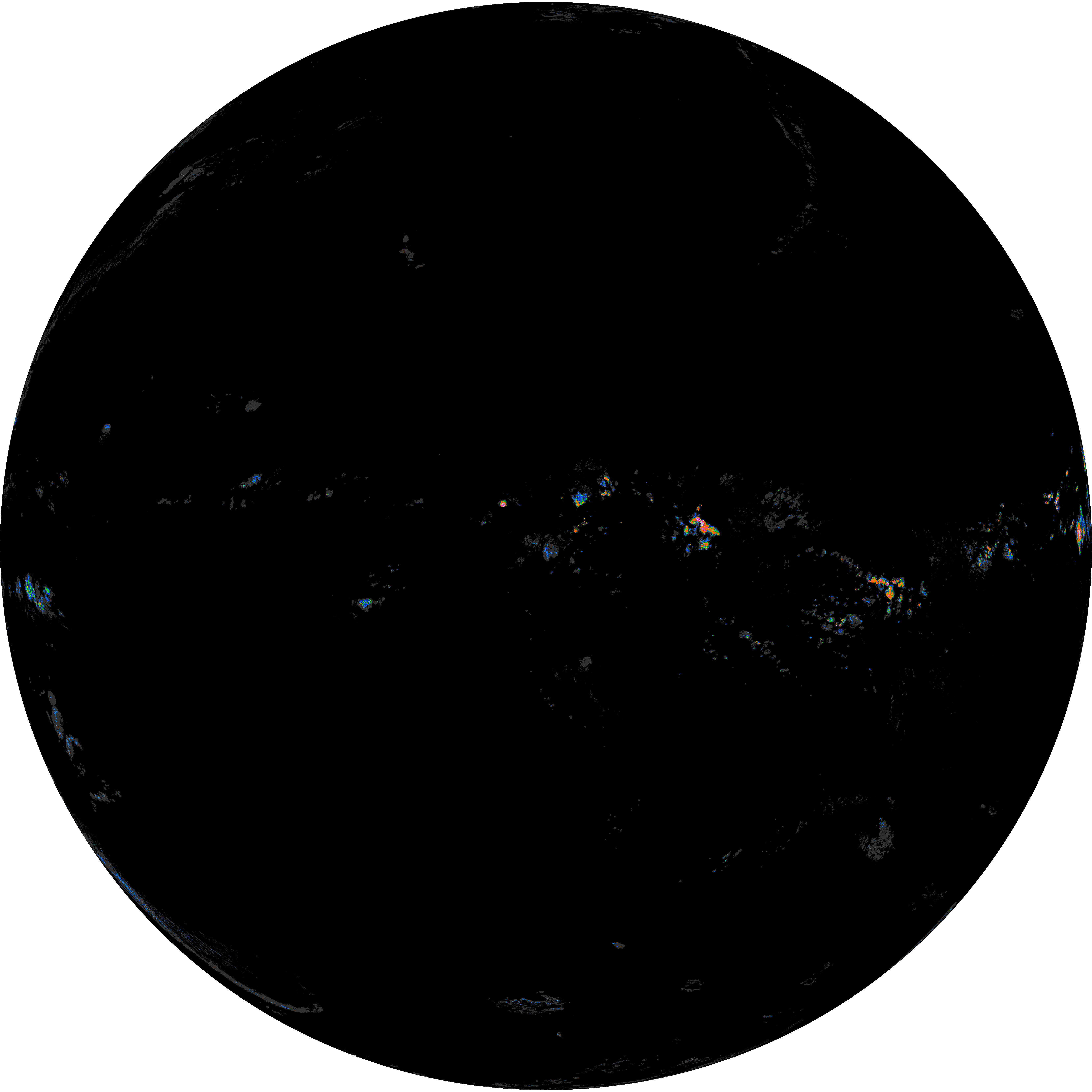
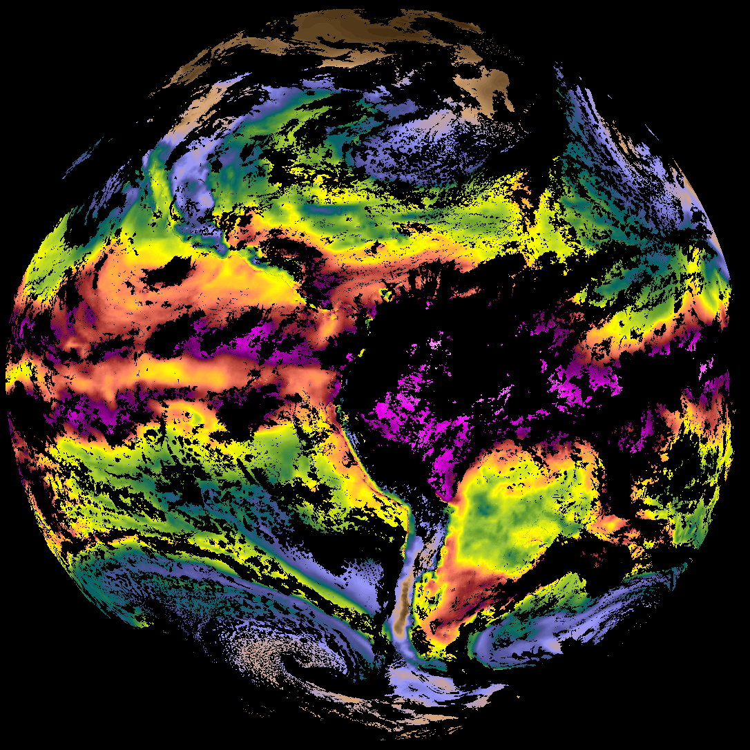
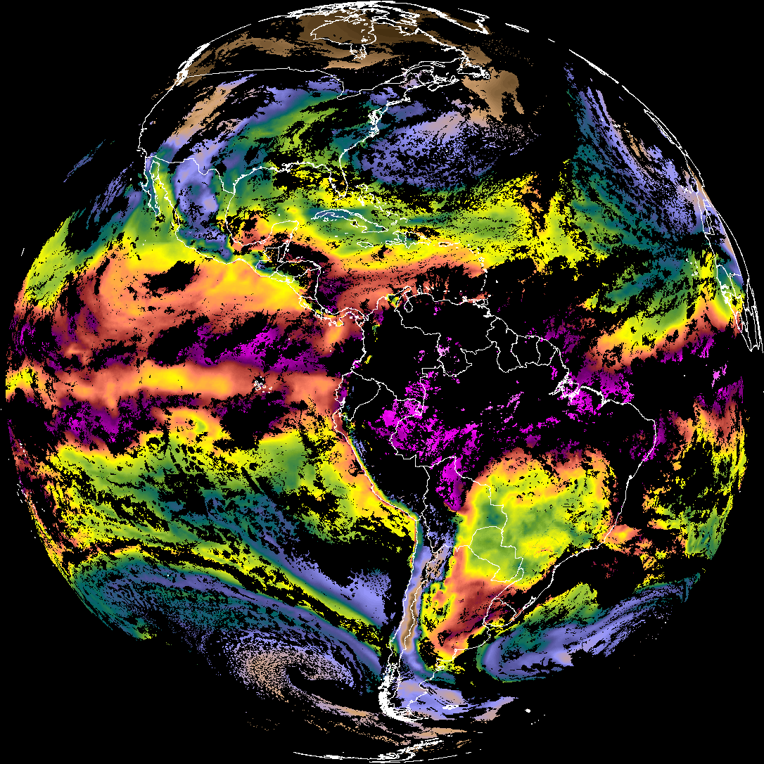
ACHT/ACHA), Derived Stability Indices (DSI), Total Precipitable Water (TPW), Rain Rate/QPE (RRQPE).SST/LST).G19_TPW_YYYYMMDDThhmmssZ.png with matching abi_rgb_* composites.The accompanying product.cbor files contain projection details that map pixels to Earth coordinates and physical units.
| File Name ↓ | File Size ↓ | Date ↓ |
|---|---|---|
| Parent directory/ | - | - |
| G19_DSI_20260330T165021Z.png | 152160 | 2026-Mar-30 17:04 |
| G19_RRQPE_20260330T165021Z.png | 642324 | 2026-Mar-30 17:03 |
| G19_TPW_20260330T165021Z.png | 267657 | 2026-Mar-30 17:04 |
| abi_rgb_Derived_Stability_Indices_-_CAPE.png | 205298 | 2026-Mar-30 17:04 |
| abi_rgb_Derived_Stability_Indices_-_CAPE_map.png | 218467 | 2026-Mar-30 17:04 |
| abi_rgb_Rain_Rate_Per_Quarter_Hour.png | 462970 | 2026-Mar-30 17:04 |
| abi_rgb_Rain_Rate_Per_Quarter_Hour_map.png | 631720 | 2026-Mar-30 17:04 |
| abi_rgb_Total_Precipitable_Water.png | 350237 | 2026-Mar-30 17:04 |
| abi_rgb_Total_Precipitable_Water_map.png | 360081 | 2026-Mar-30 17:04 |
| product.cbor | 556 | 2026-Mar-30 17:04 |