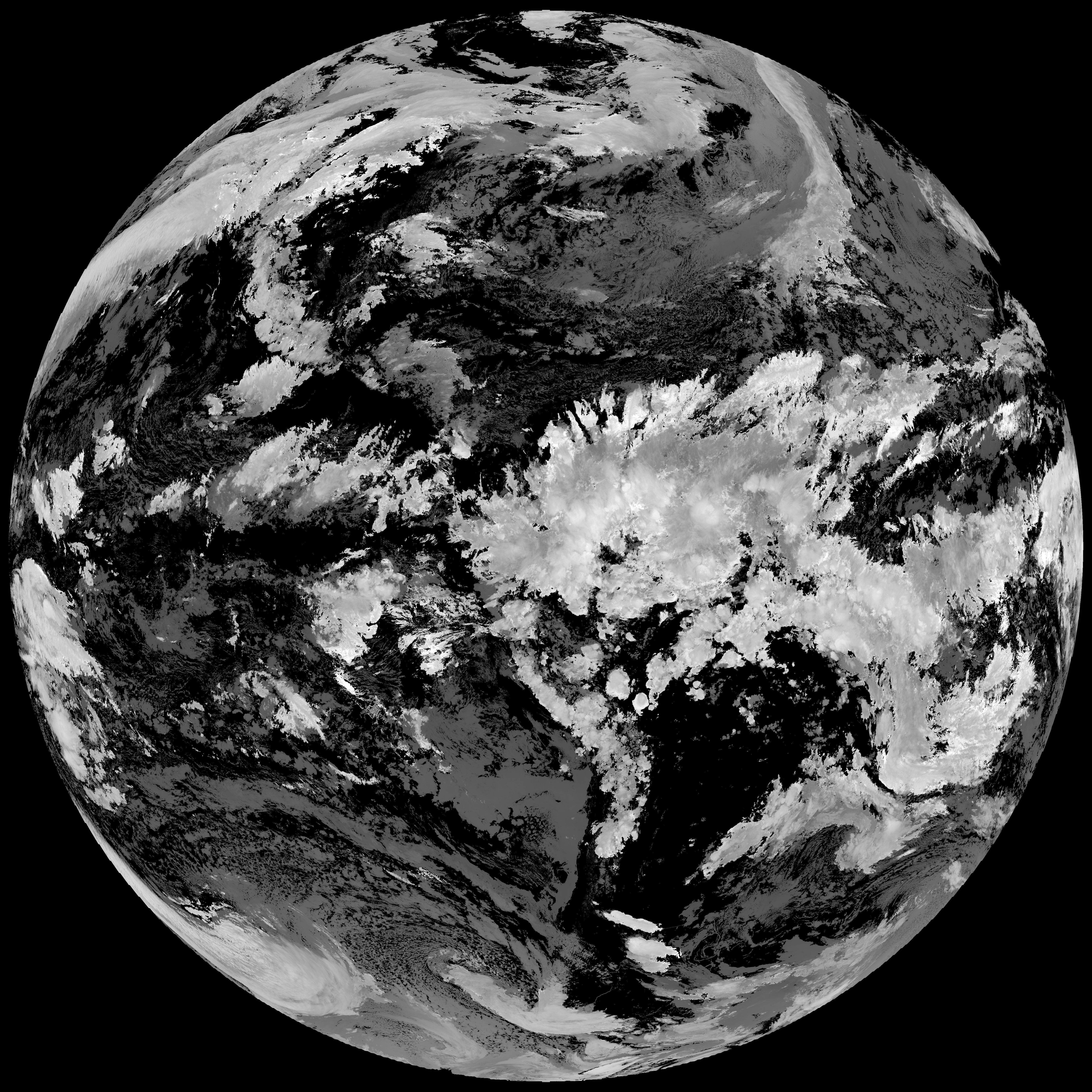
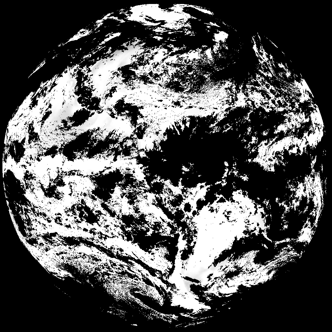
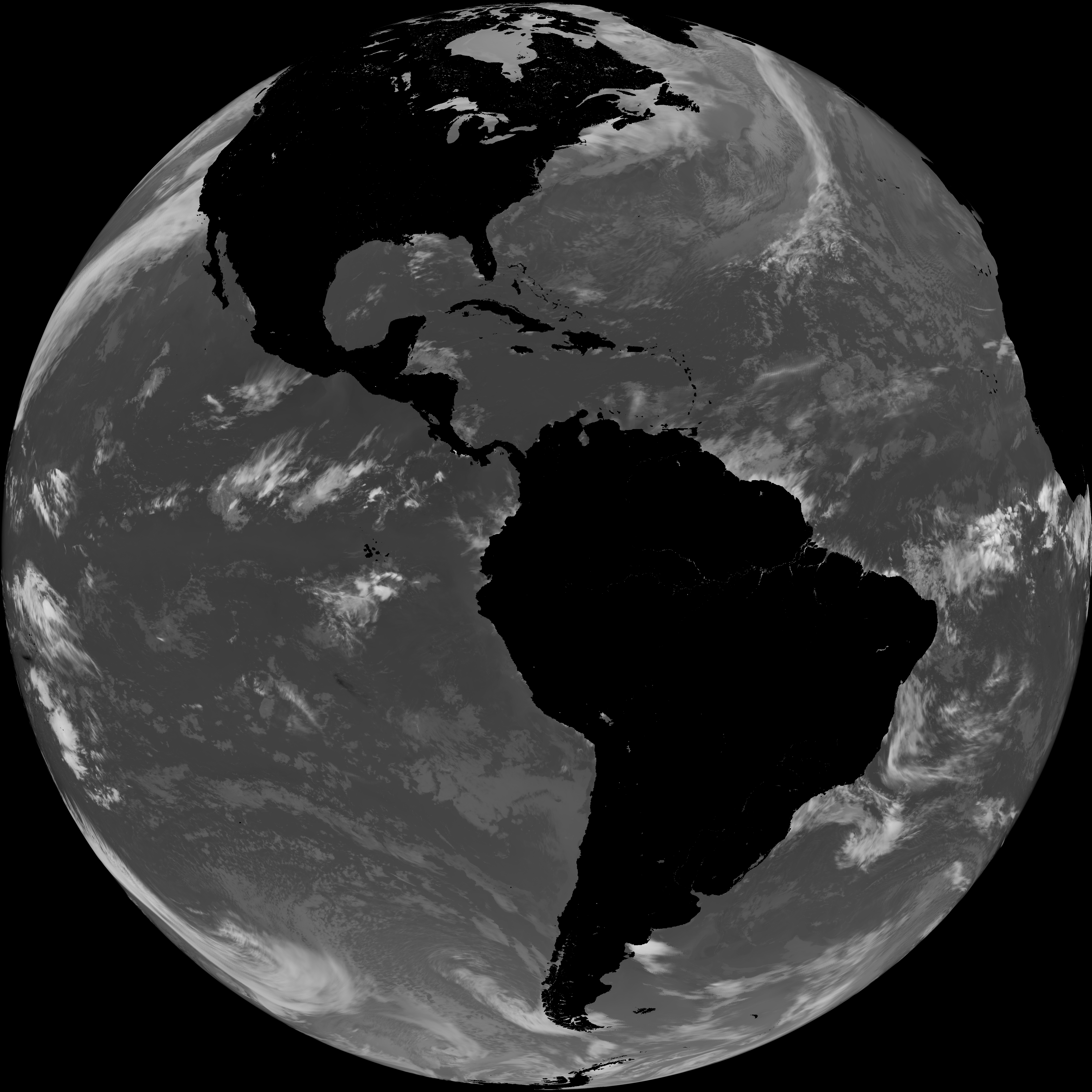
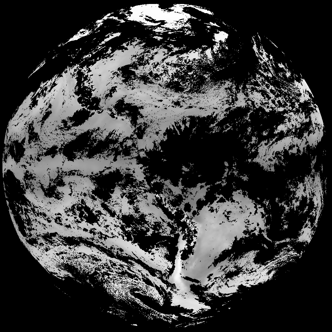
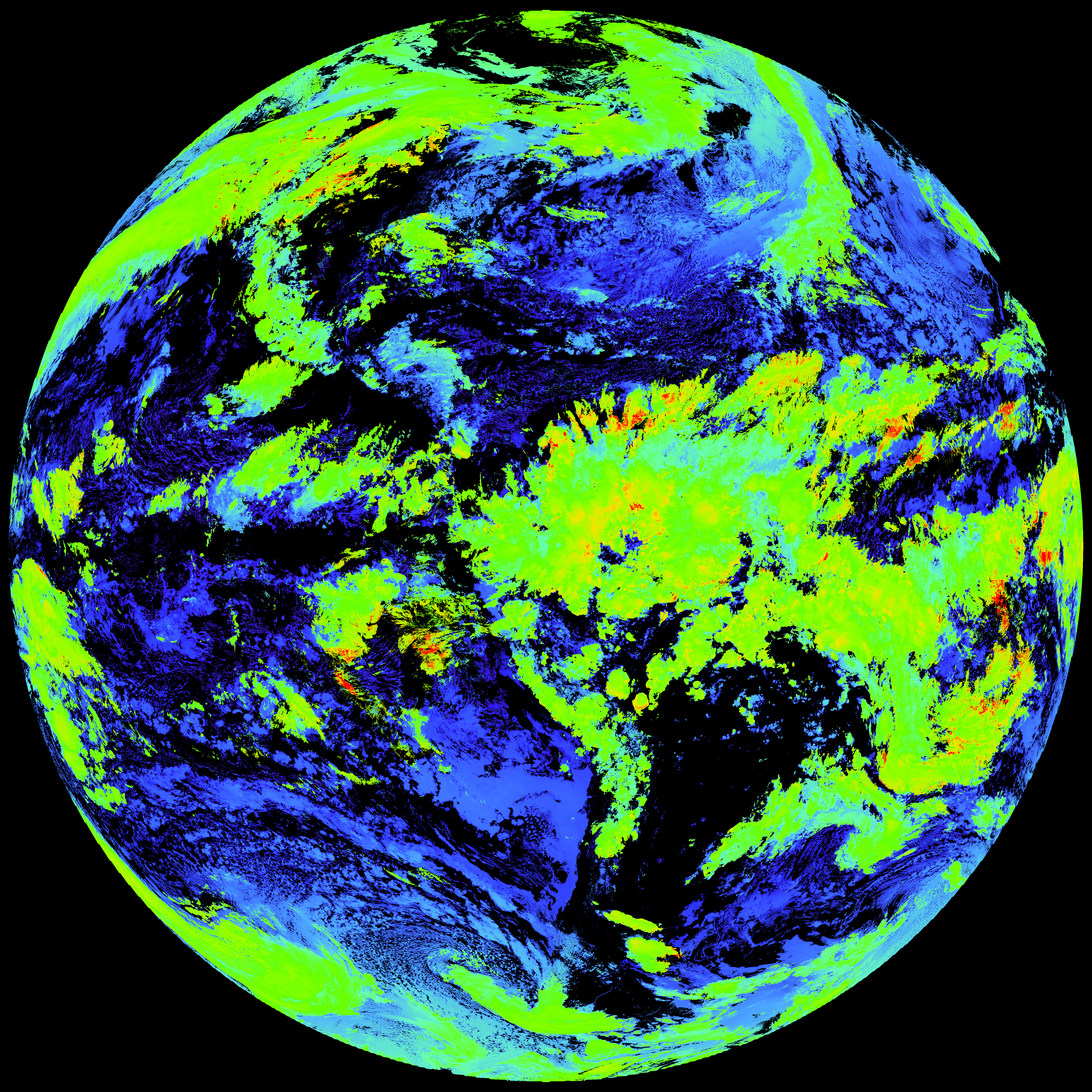
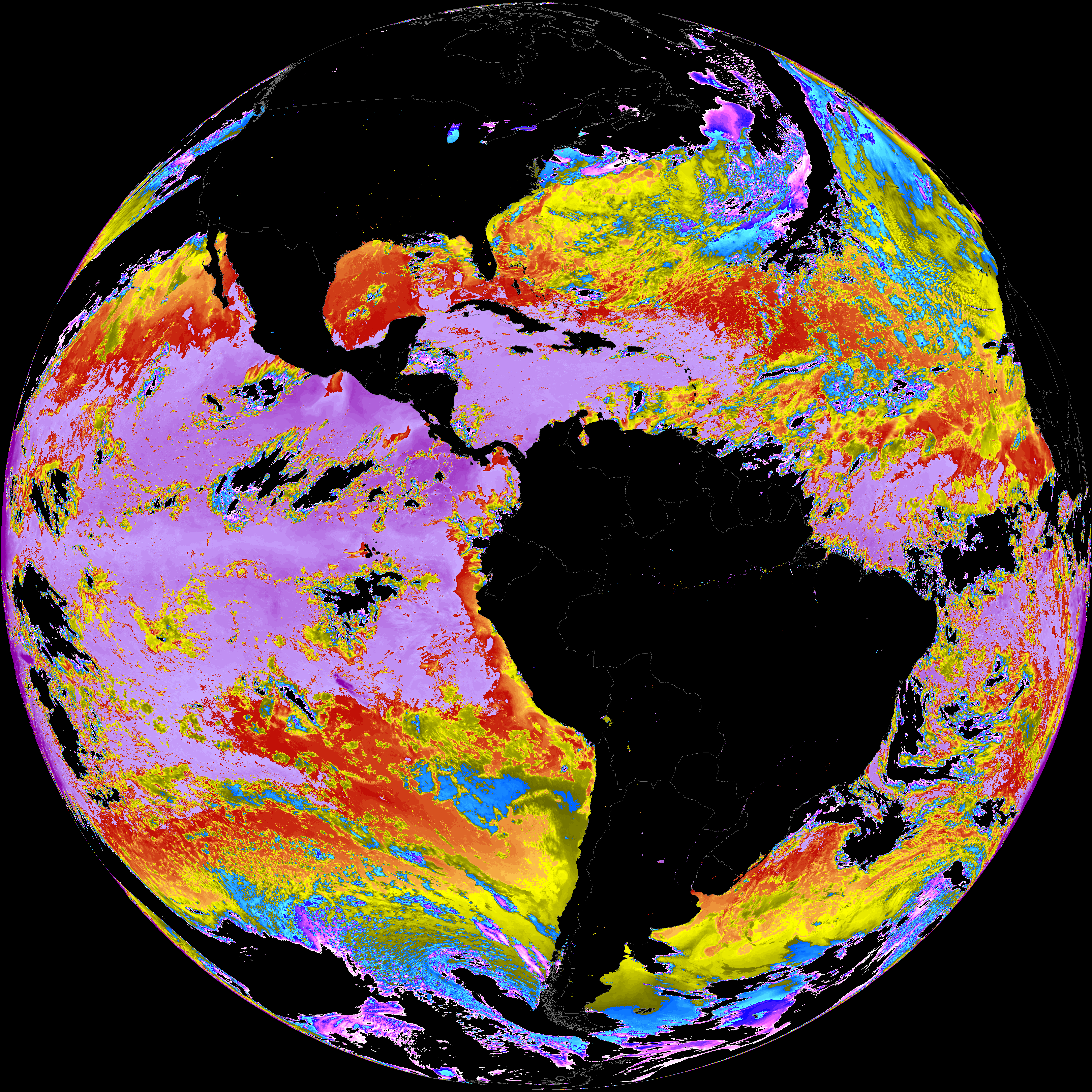
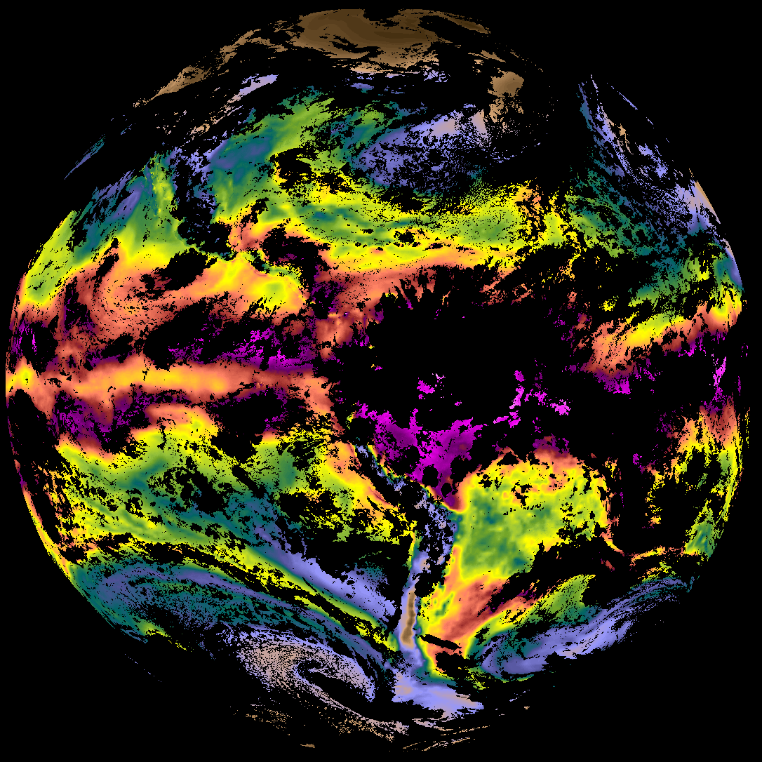
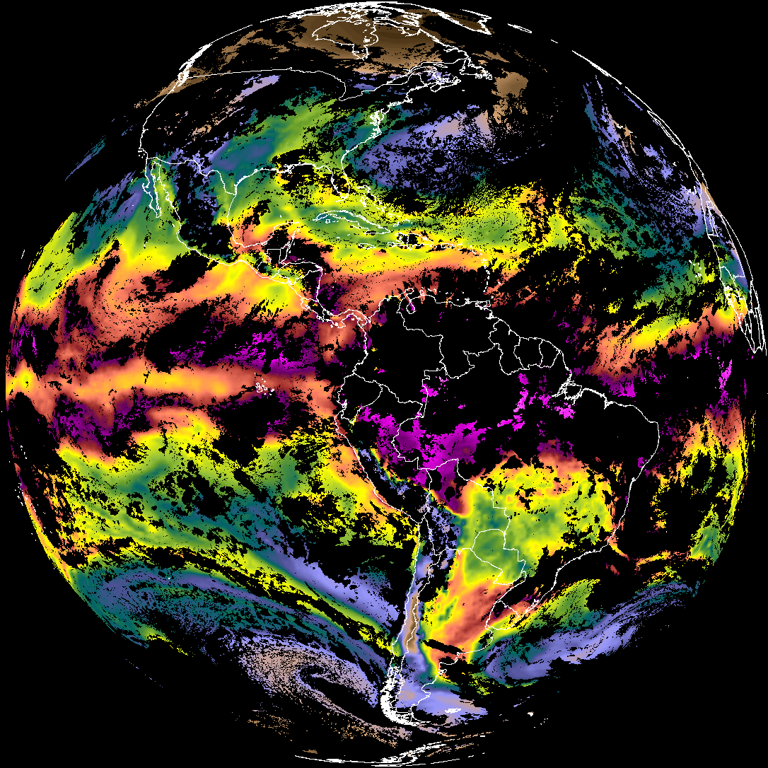
Quicklook renderings of ABI Level-2 geophysical fields. Each timestamp mirrors an imagery folder and includes a product.cbor metadata file.
ACHT/ACHA), Derived Stability Indices (DSI), Total Precipitable Water (TPW), Rain Rate/QPE (RRQPE).SST/LST).G19_TPW_YYYYMMDDThhmmssZ.png with matching abi_rgb_* composites.The accompanying product.cbor files contain projection details that map pixels to Earth coordinates and physical units.
| File Name ↓ | File Size ↓ | Date ↓ |
|---|---|---|
| Parent directory/ | - | - |
| G19_ACHT_20260330T220021Z.png | 12422227 | 2026-Mar-30 22:37 |
| G19_DSI_20260330T220021Z.png | 143700 | 2026-Mar-30 22:37 |
| G19_SST_20260330T220021Z.png | 7980769 | 2026-Mar-30 23:09 |
| G19_TPW_20260330T220021Z.png | 248106 | 2026-Mar-30 22:32 |
| abi_rgb_Cloud_top_Temperature_(ACHT).png | 16730050 | 2026-Mar-30 22:37 |
| abi_rgb_Cloud_top_Temperature_(ACHT)_map.png | 16809860 | 2026-Mar-30 22:37 |
| abi_rgb_Derived_Stability_Indices_-_CAPE.png | 192971 | 2026-Mar-30 22:37 |
| abi_rgb_Derived_Stability_Indices_-_CAPE_map.png | 207224 | 2026-Mar-30 22:37 |
| abi_rgb_Sea_Surface_Temperature.png | 7997862 | 2026-Mar-30 23:09 |
| abi_rgb_Sea_Surface_Temperature_map.png | 8109264 | 2026-Mar-30 23:09 |
| abi_rgb_Total_Precipitable_Water.png | 324382 | 2026-Mar-30 22:32 |
| abi_rgb_Total_Precipitable_Water_map.png | 336457 | 2026-Mar-30 22:32 |
| product.cbor | 621 | 2026-Mar-30 23:09 |