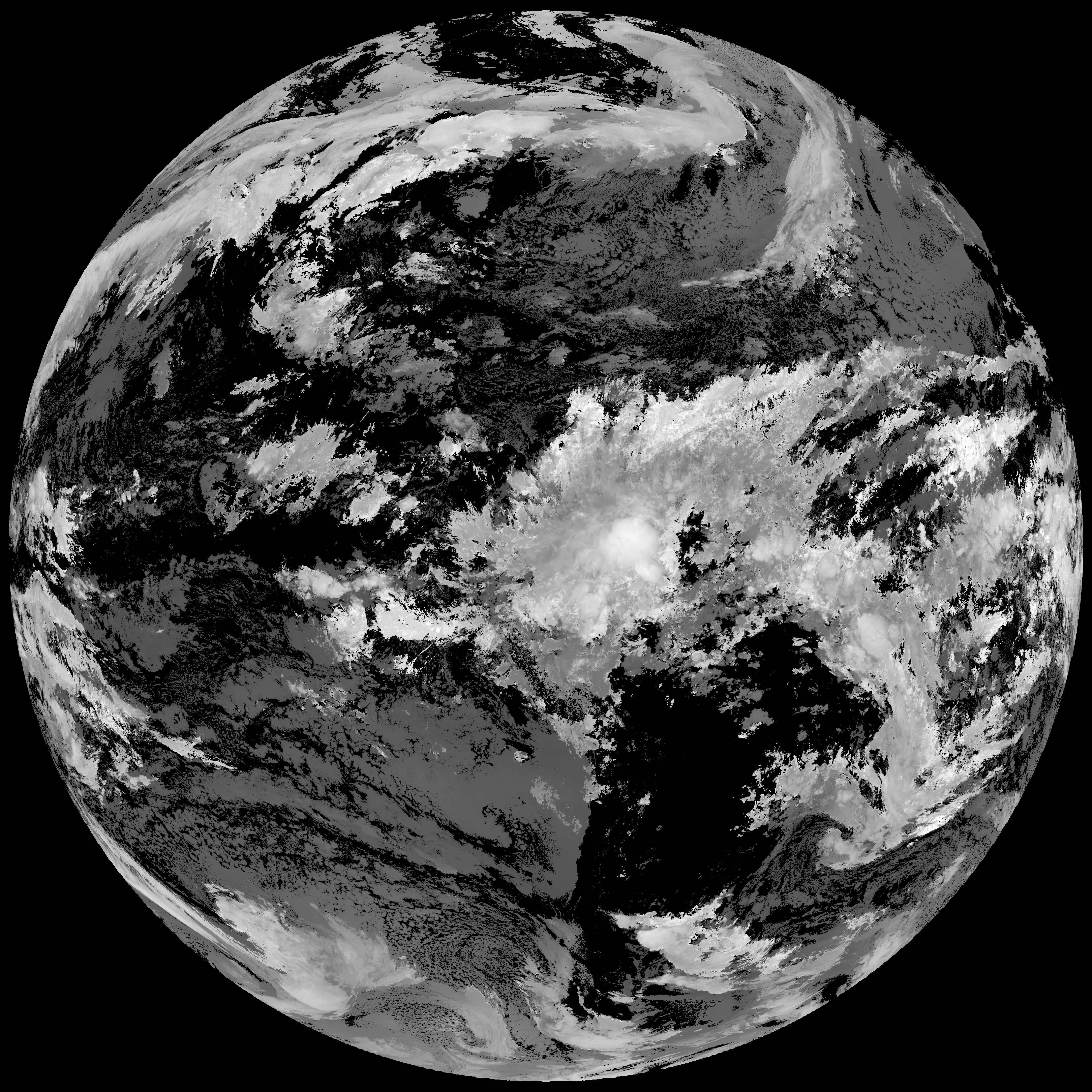
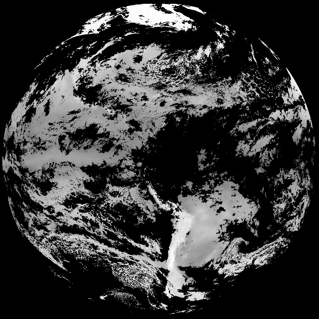
Quicklook renderings of ABI Level-2 geophysical fields. Each timestamp mirrors an imagery folder and includes a product.cbor metadata file.
ACHT/ACHA), Derived Stability Indices (DSI), Total Precipitable Water (TPW), Rain Rate/QPE (RRQPE).SST/LST).G19_TPW_YYYYMMDDThhmmssZ.png with matching abi_rgb_* composites.The accompanying product.cbor files contain projection details that map pixels to Earth coordinates and physical units.
| File Name ↓ | File Size ↓ | Date ↓ |
|---|---|---|
| Parent directory/ | - | - |
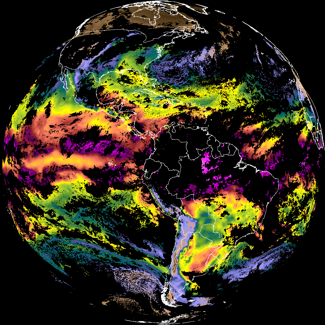
| abi_rgb_Derived_Stability_Indices_-_CAPE_map.png | 190582 | 2026-Mar-31 08:33 |
| abi_rgb_Derived_Stability_Indices_-_CAPE.png | 175180 | 2026-Mar-31 08:33 |
| G19_DSI_20260331T080020Z.png | 130875 | 2026-Mar-31 08:33 |
| product.cbor | 554 | 2026-Mar-31 08:33 |
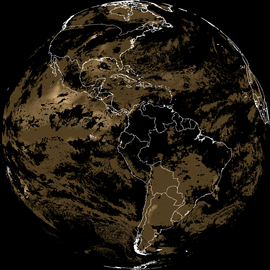
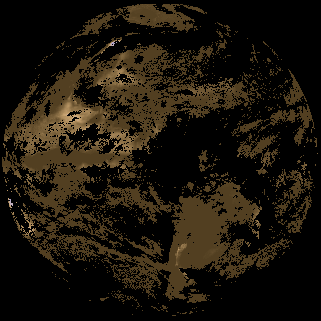
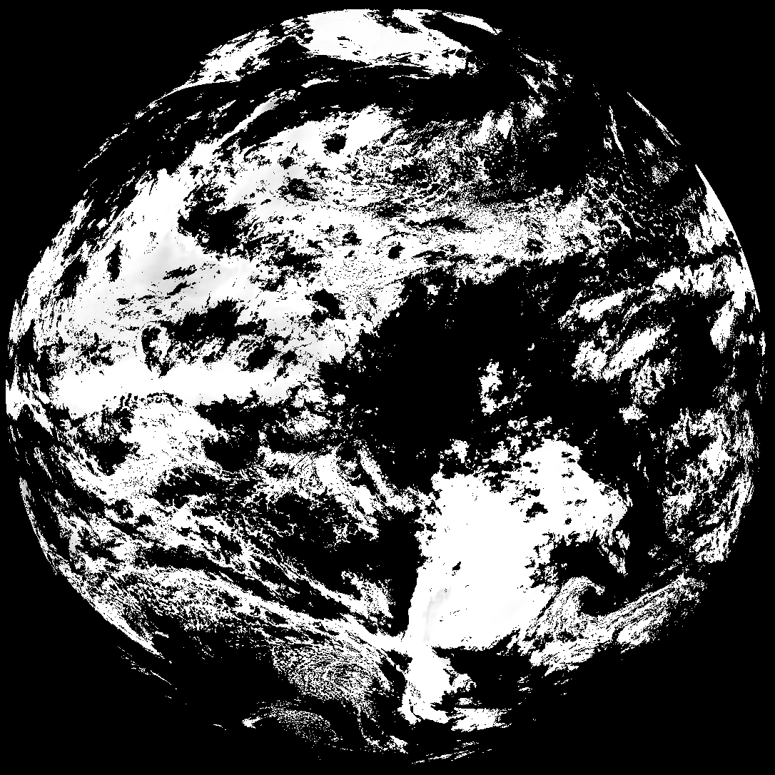
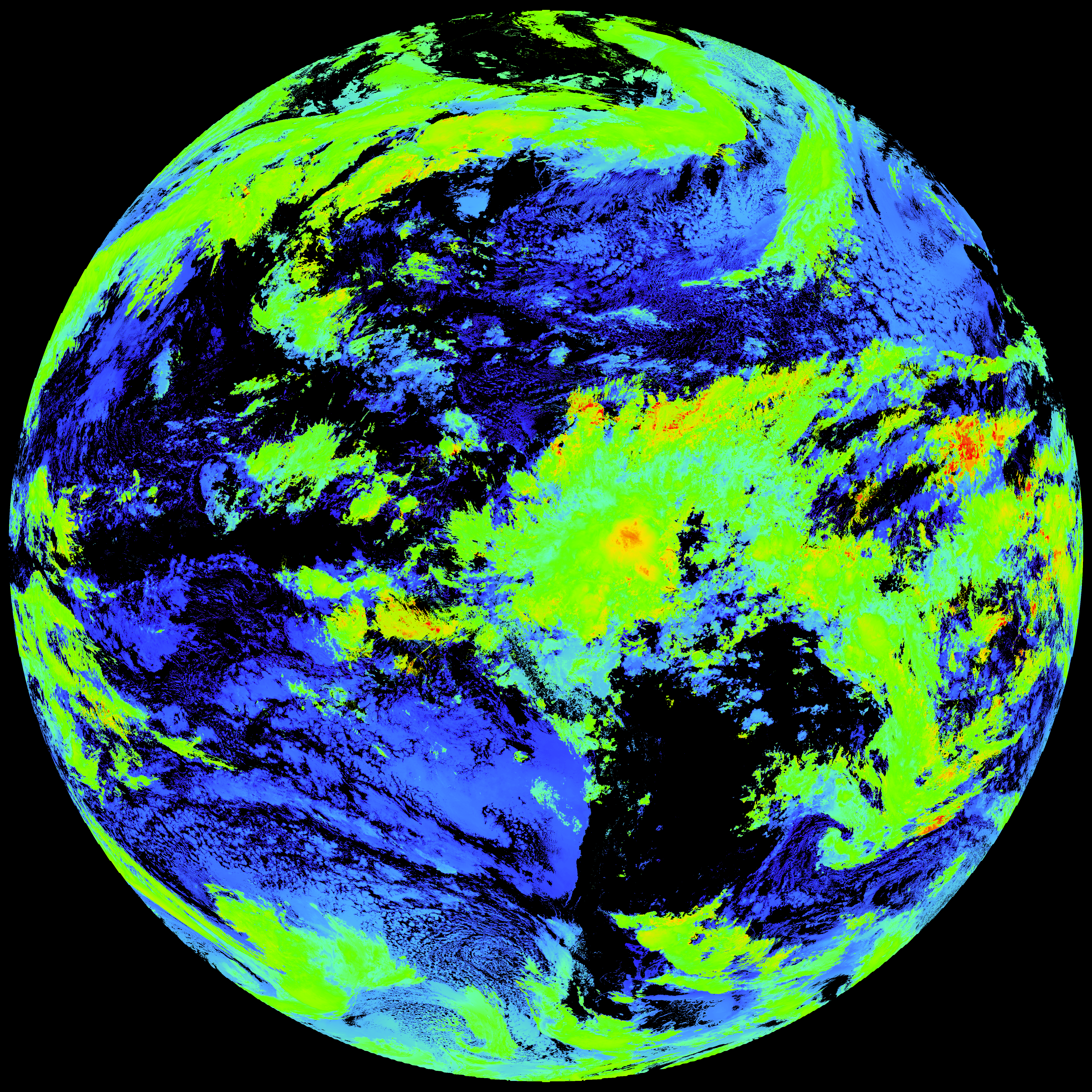
| abi_rgb_Cloud_top_Temperature_(ACHT)_map.png | 16907500 | 2026-Mar-31 08:33 |
| abi_rgb_Cloud_top_Temperature_(ACHT).png | 16827442 | 2026-Mar-31 08:33 |
| G19_ACHT_20260331T080020Z.png | 12489650 | 2026-Mar-31 08:33 |
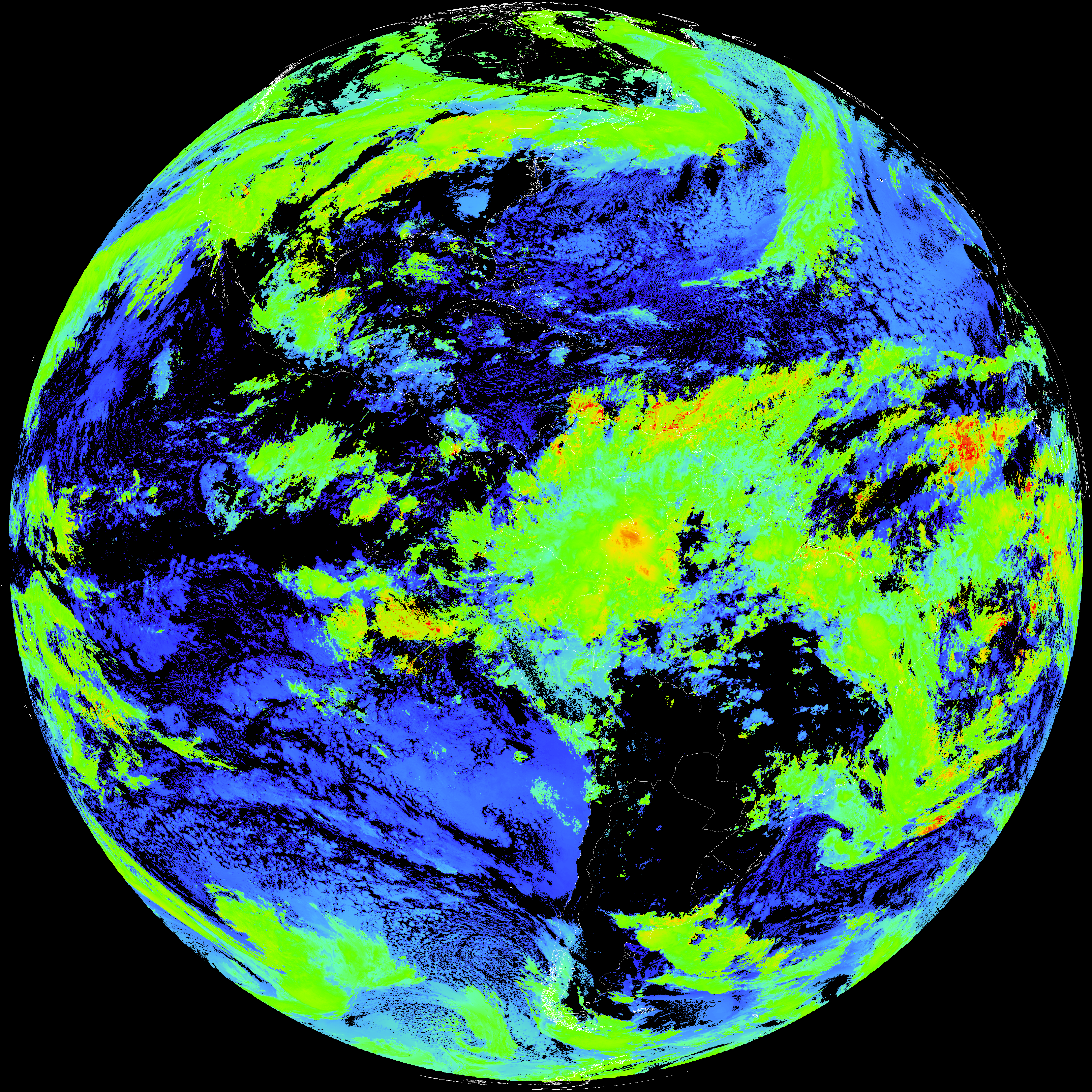
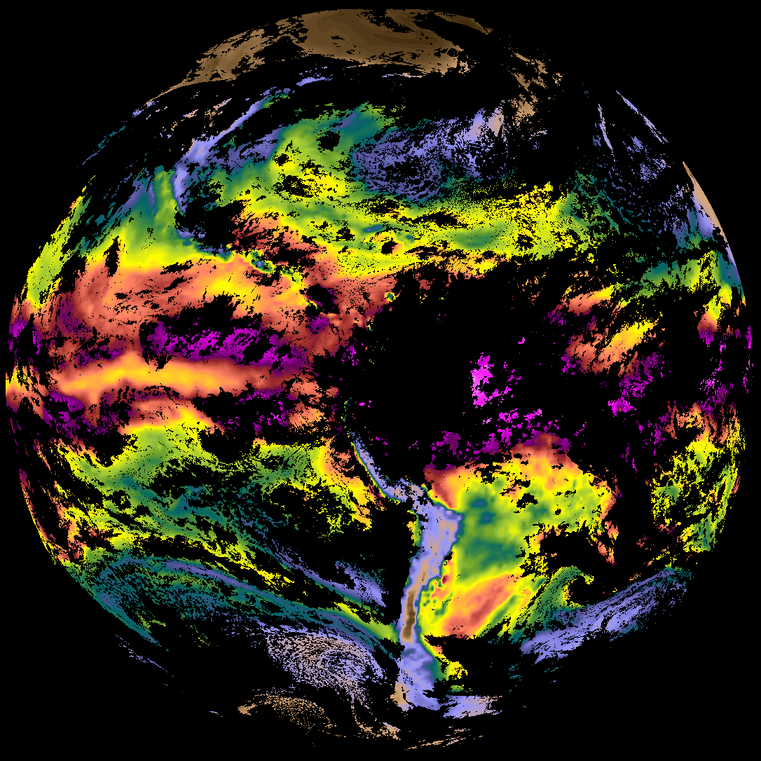
| abi_rgb_Total_Precipitable_Water.png | 306918 | 2026-Mar-31 08:28 |
| abi_rgb_Total_Precipitable_Water_map.png | 320000 | 2026-Mar-31 08:28 |
| G19_TPW_20260331T080020Z.png | 234212 | 2026-Mar-31 08:28 |