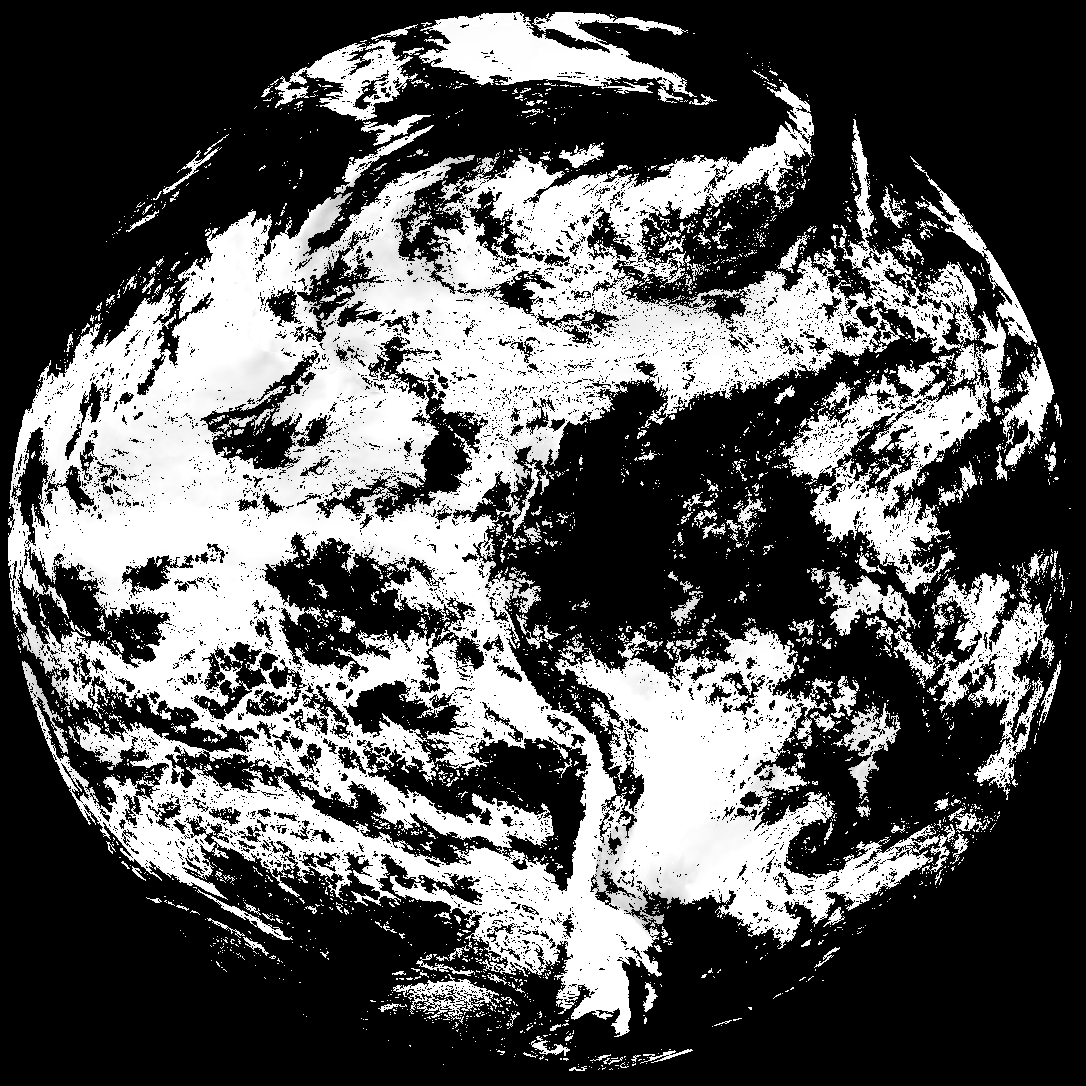
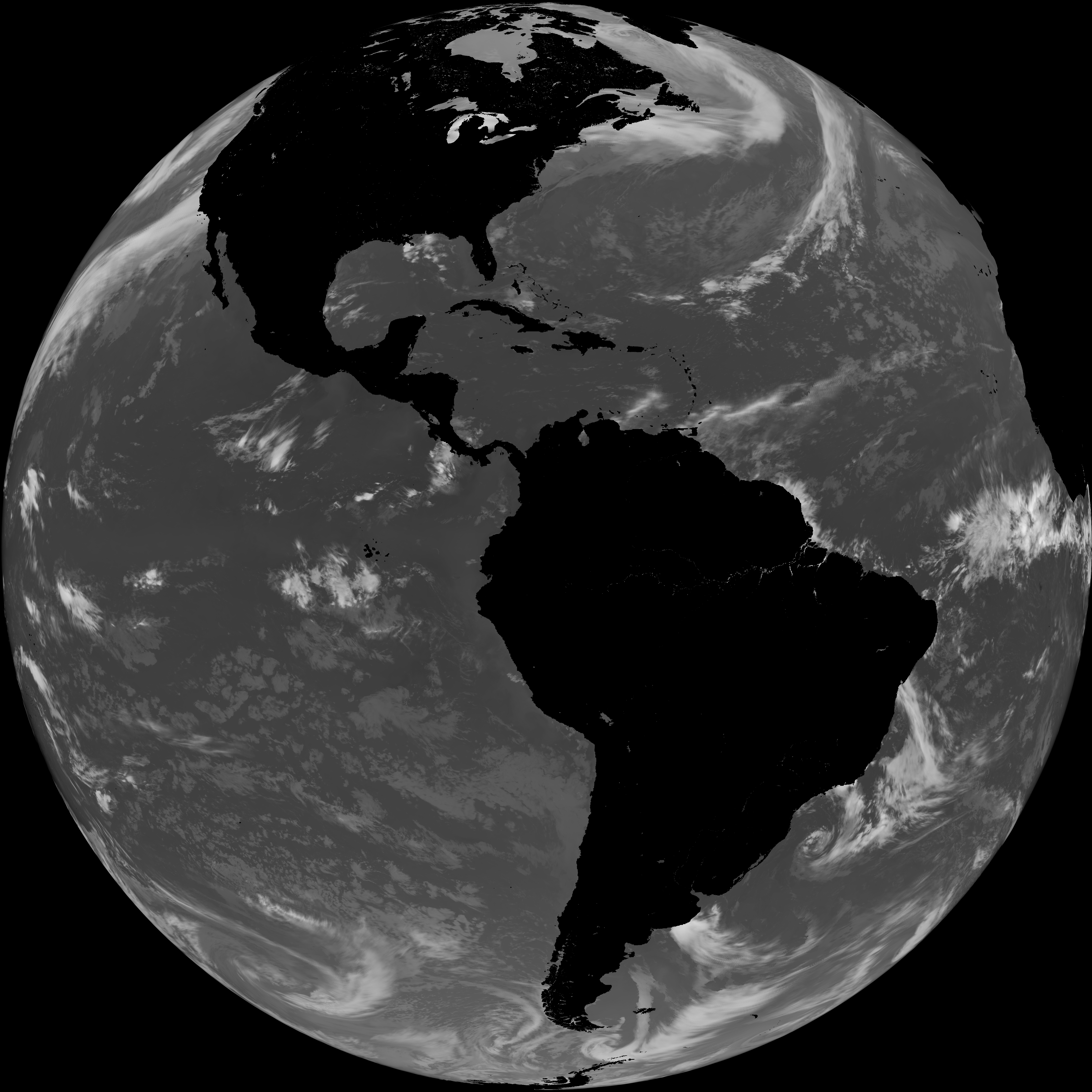
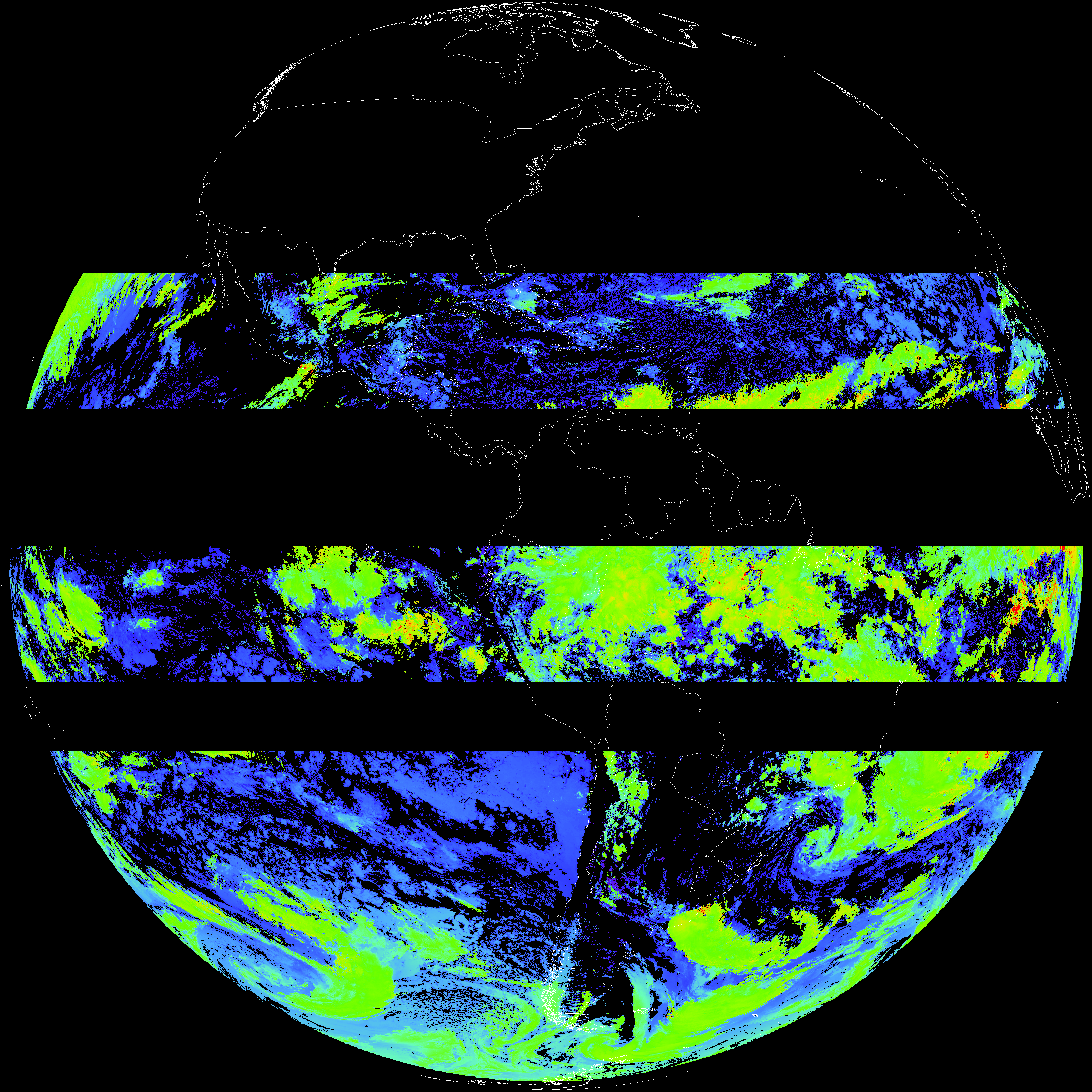
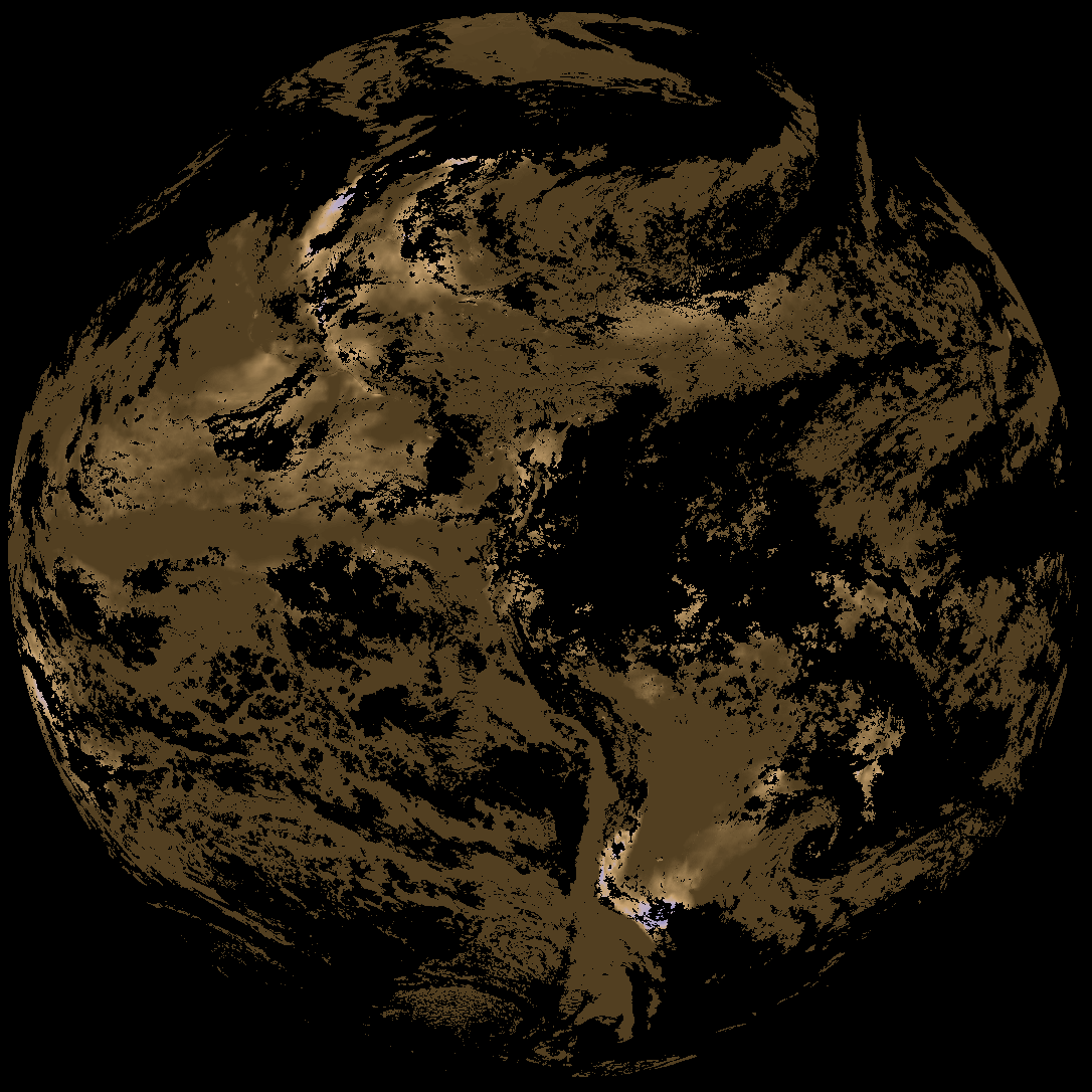
Quicklook renderings of ABI Level-2 geophysical fields. Each timestamp mirrors an imagery folder and includes a product.cbor metadata file.
ACHT/ACHA), Derived Stability Indices (DSI), Total Precipitable Water (TPW), Rain Rate/QPE (RRQPE).SST/LST).G19_TPW_YYYYMMDDThhmmssZ.png with matching abi_rgb_* composites.The accompanying product.cbor files contain projection details that map pixels to Earth coordinates and physical units.
| File Name ↓ | File Size ↓ | Date ↓ |
|---|---|---|
| Parent directory/ | - | - |
| G19_ACHT_20260331T180020Z.png | 6840833 | 2026-Mar-31 19:06 |
| G19_DSI_20260331T180020Z.png | 155745 | 2026-Mar-31 18:40 |
| G19_LST_20260331T180020Z.png | 127527 | 2026-Mar-31 19:12 |
| G19_SST_20260331T180020Z.png | 7639307 | 2026-Mar-31 19:10 |
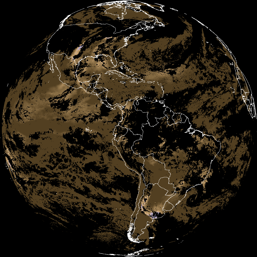
| abi_rgb_Cloud_top_Temperature_(ACHT).png | 9361546 | 2026-Mar-31 19:06 |
| abi_rgb_Cloud_top_Temperature_(ACHT)_map.png | 9490273 | 2026-Mar-31 19:06 |
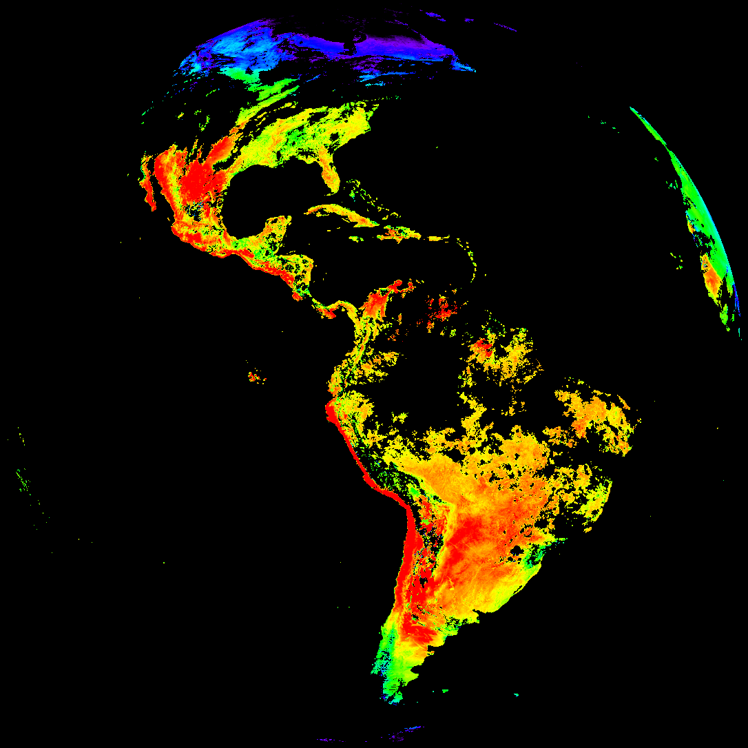
| abi_rgb_Derived_Stability_Indices_-_CAPE.png | 210515 | 2026-Mar-31 18:40 |
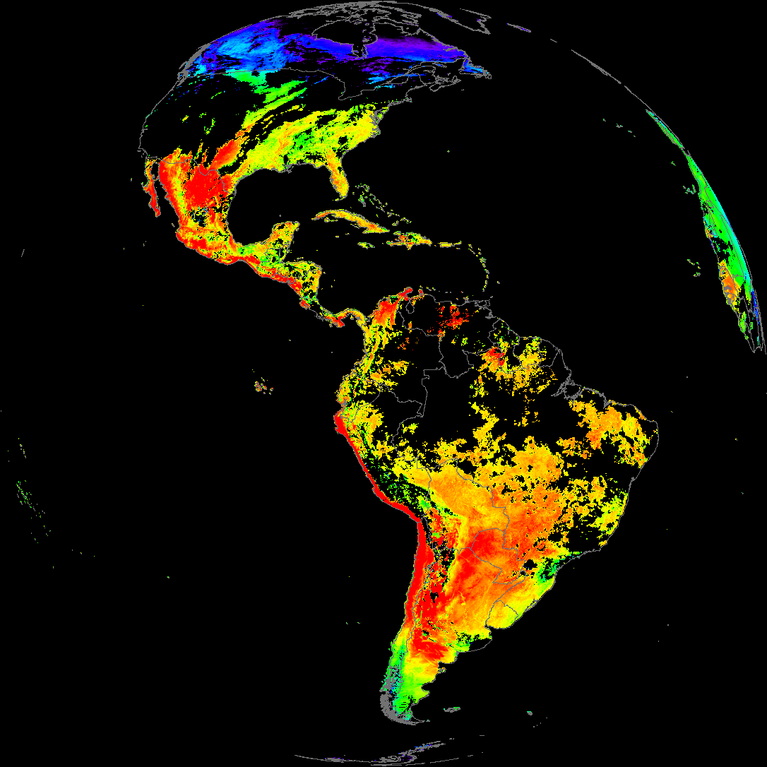
| abi_rgb_Derived_Stability_Indices_-_CAPE_map.png | 223690 | 2026-Mar-31 18:40 |
| abi_rgb_Land_Surface_Temperature.png | 162279 | 2026-Mar-31 19:12 |
| abi_rgb_Land_Surface_Temperature_map.png | 169627 | 2026-Mar-31 19:12 |
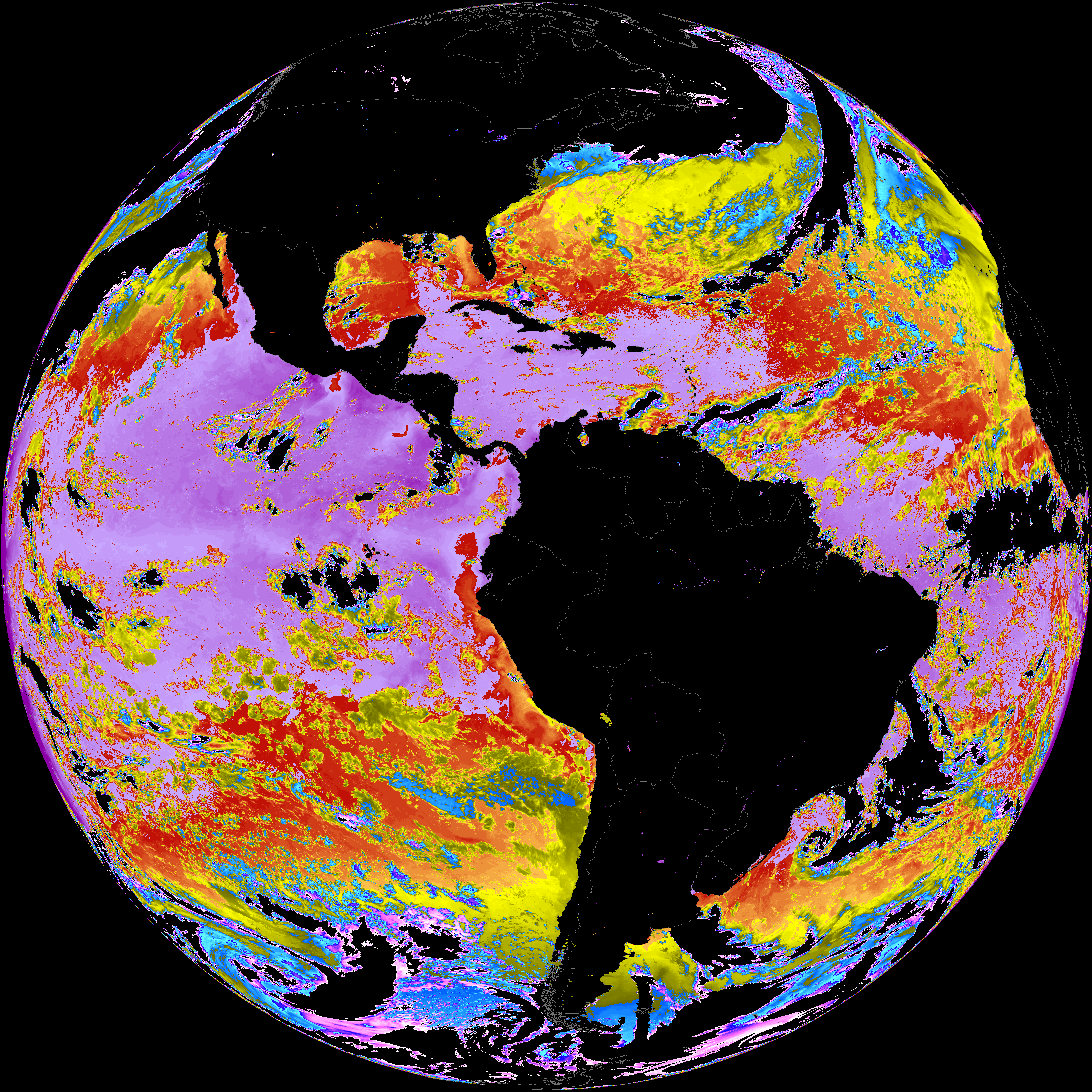
| abi_rgb_Sea_Surface_Temperature.png | 7662838 | 2026-Mar-31 19:10 |
| abi_rgb_Sea_Surface_Temperature_map.png | 7766159 | 2026-Mar-31 19:10 |
| product.cbor | 621 | 2026-Mar-31 19:12 |