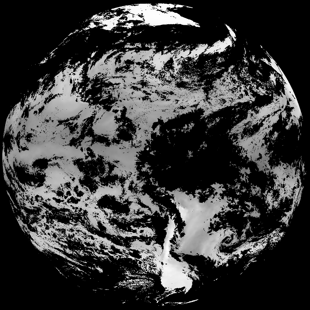
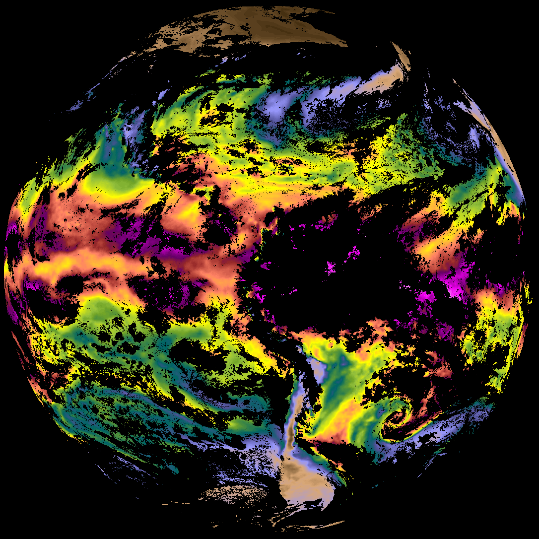
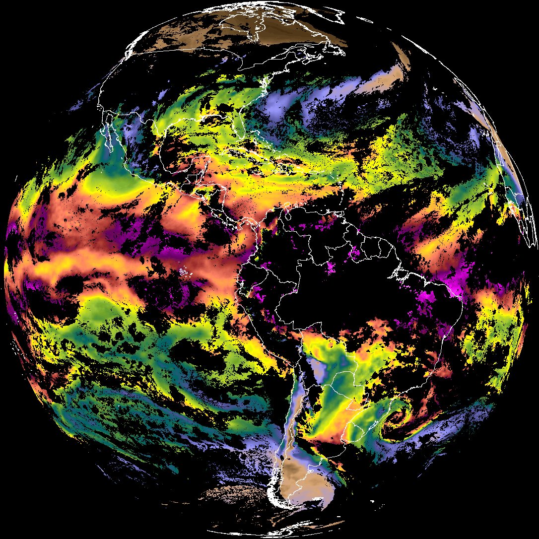
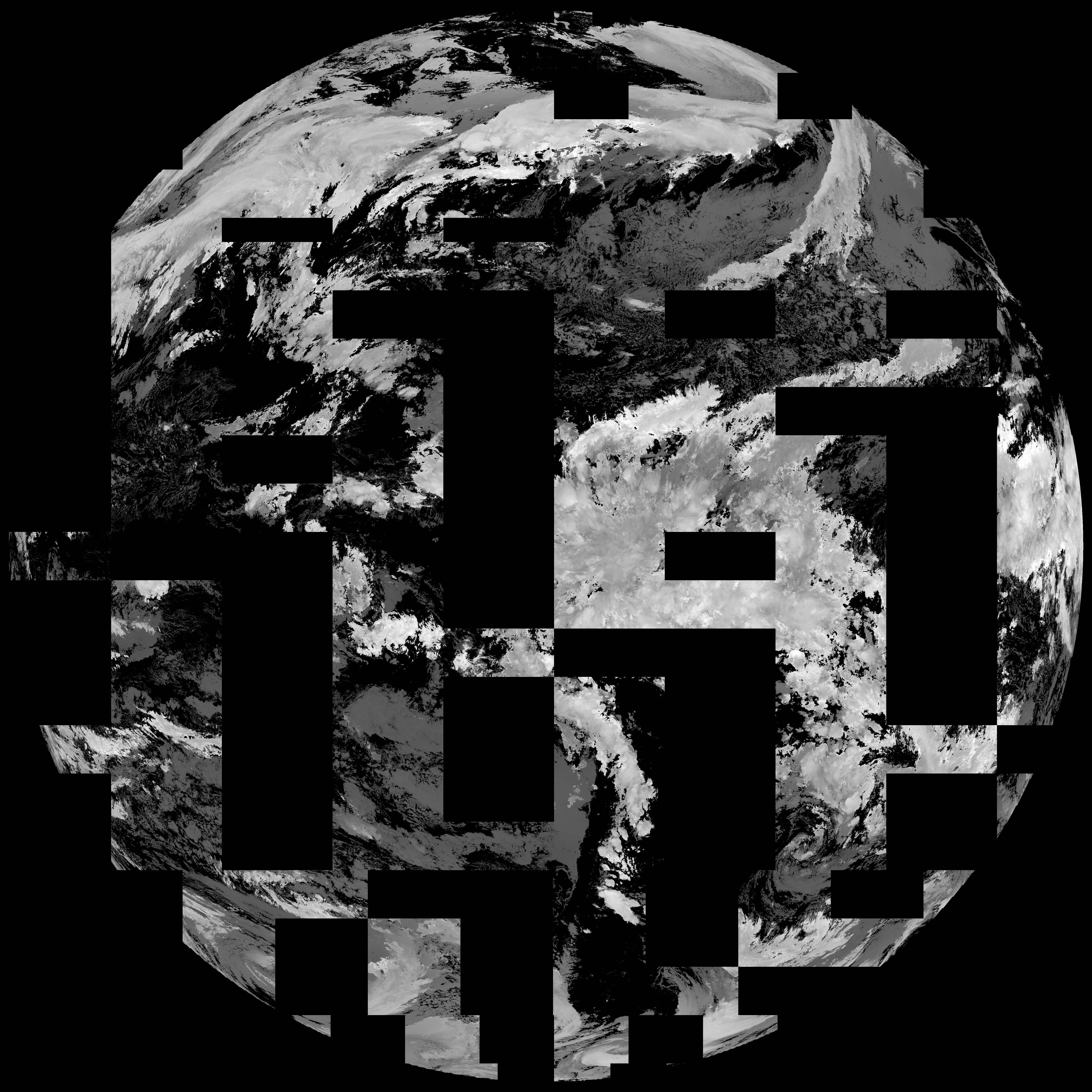
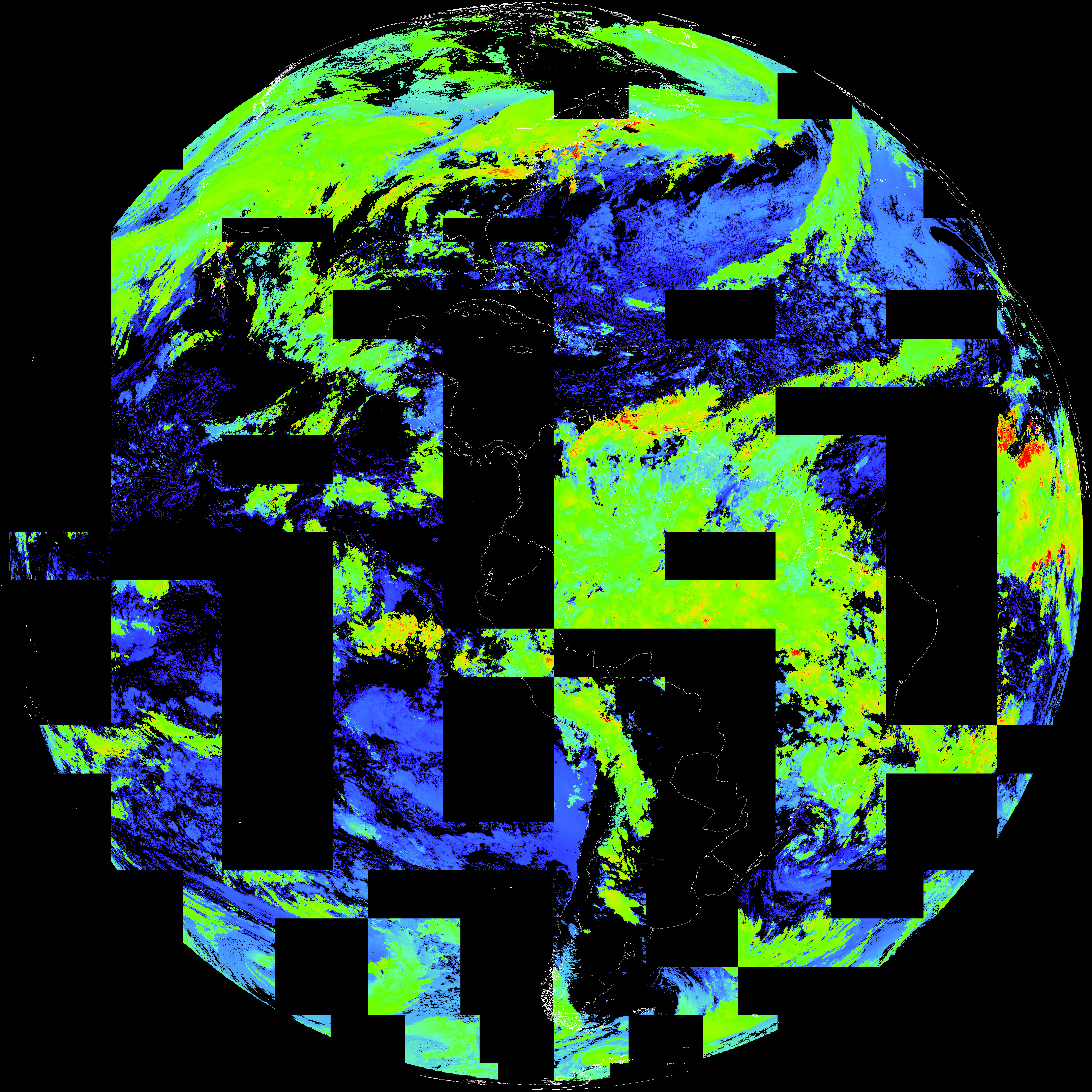
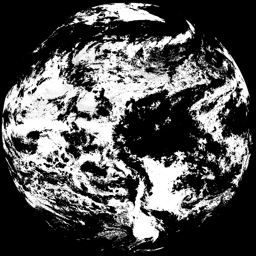
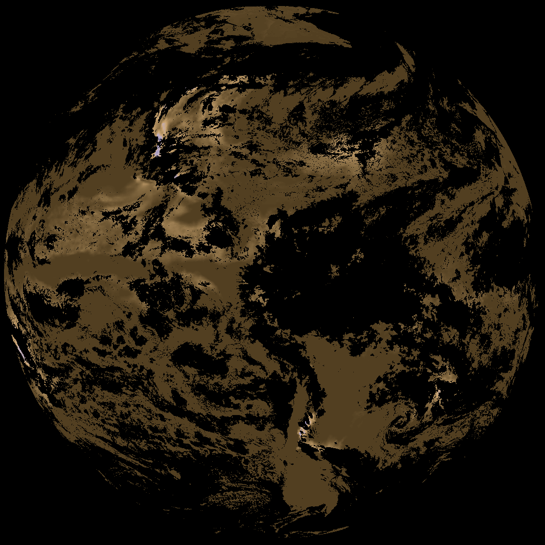
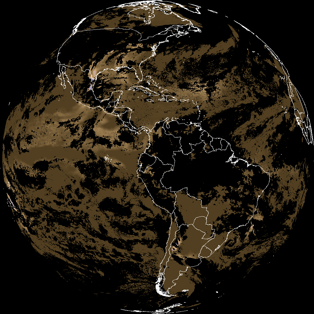
Quicklook renderings of ABI Level-2 geophysical fields. Each timestamp mirrors an imagery folder and includes a product.cbor metadata file.
ACHT/ACHA), Derived Stability Indices (DSI), Total Precipitable Water (TPW), Rain Rate/QPE (RRQPE).SST/LST).G19_TPW_YYYYMMDDThhmmssZ.png with matching abi_rgb_* composites.The accompanying product.cbor files contain projection details that map pixels to Earth coordinates and physical units.
| File Name ↓ | File Size ↓ | Date ↓ |
|---|---|---|
| Parent directory/ | - | - |
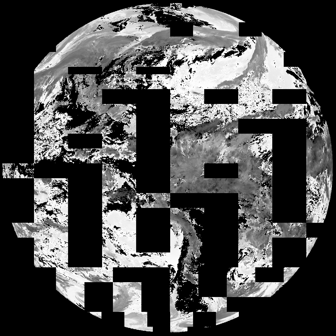
| G19_TPW_20260401T000020Z.png | 242920 | 2026-Apr-01 00:29 |
| abi_rgb_Total_Precipitable_Water.png | 318837 | 2026-Apr-01 00:29 |
| abi_rgb_Total_Precipitable_Water_map.png | 331658 | 2026-Apr-01 00:29 |
| G19_ACHT_20260401T000020Z.png | 8106599 | 2026-Apr-01 00:33 |
| abi_rgb_Cloud_top_Temperature_(ACHT).png | 11392343 | 2026-Apr-01 00:33 |
| abi_rgb_Cloud_top_Temperature_(ACHT)_map.png | 11492830 | 2026-Apr-01 00:33 |
| G19_DSI_20260401T000020Z.png | 138930 | 2026-Apr-01 00:33 |
| abi_rgb_Derived_Stability_Indices_-_CAPE.png | 186565 | 2026-Apr-01 00:33 |
| abi_rgb_Derived_Stability_Indices_-_CAPE_map.png | 200989 | 2026-Apr-01 00:33 |
| G19_ACHA_20260401T000020Z.png | 432730 | 2026-Apr-01 00:33 |
| product.cbor | 623 | 2026-Apr-01 00:33 |
| abi_rgb_AWG_Cloud_Height_Algorithm_(ACHA).png | 639341 | 2026-Apr-01 00:33 |
| abi_rgb_AWG_Cloud_Height_Algorithm_(ACHA)_map.png | 645967 | 2026-Apr-01 00:33 |