Quicklook renderings of ABI Level-2 geophysical fields. Each timestamp mirrors an imagery folder and includes a product.cbor metadata file.
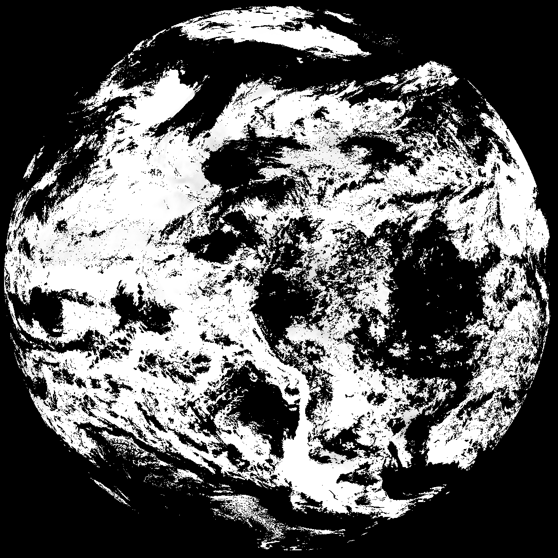
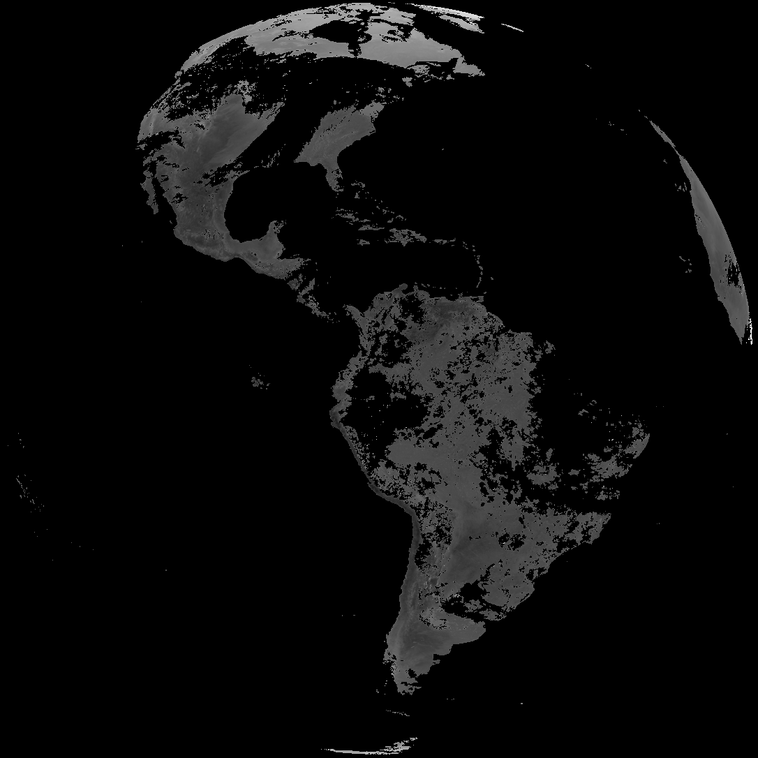
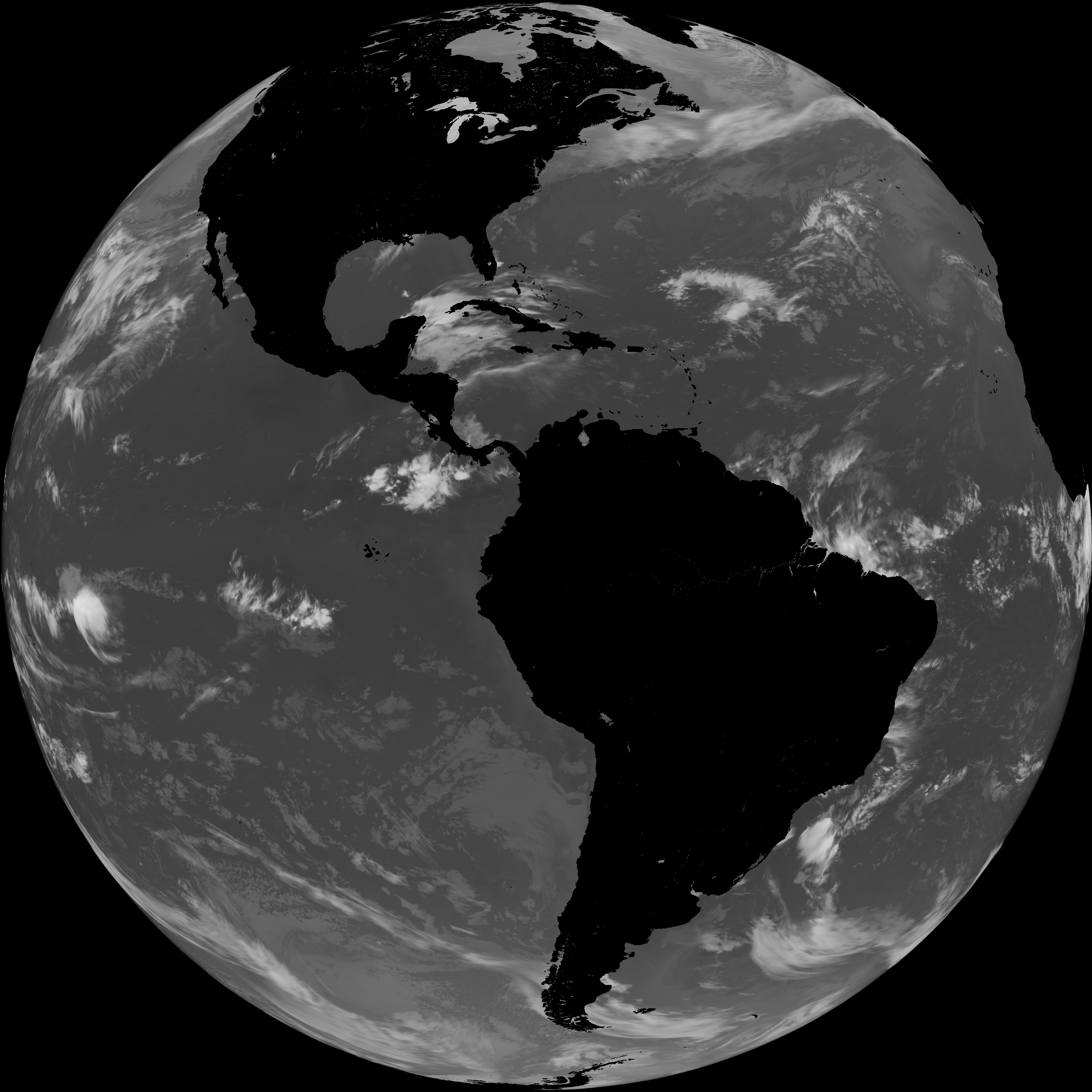
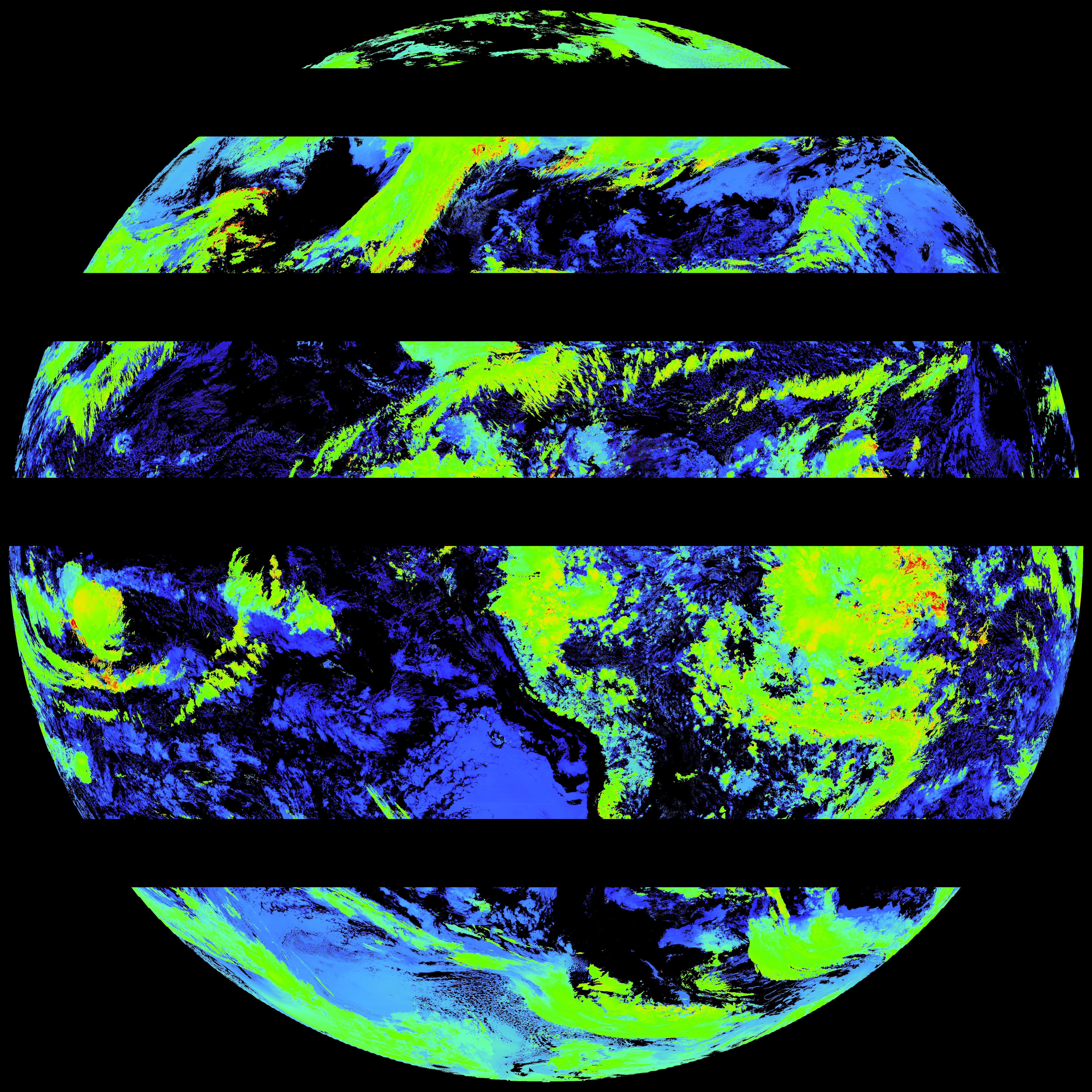
ACHT/ACHA), Derived Stability Indices (DSI), Total Precipitable Water (TPW), Rain Rate/QPE (RRQPE).SST/LST).G19_TPW_YYYYMMDDThhmmssZ.png with matching abi_rgb_* composites.The accompanying product.cbor files contain projection details that map pixels to Earth coordinates and physical units.
| File Name ↓ | File Size ↓ | Date ↓ |
|---|---|---|
| Parent directory/ | - | - |
| G19_ACHT_20260402T180020Z.png | 8391136 | 2026-Apr-02 19:06 |
| G19_DSI_20260402T180020Z.png | 145819 | 2026-Apr-02 18:40 |
| G19_LST_20260402T180020Z.png | 132177 | 2026-Apr-02 19:12 |
| G19_SST_20260402T180020Z.png | 7270527 | 2026-Apr-02 19:10 |
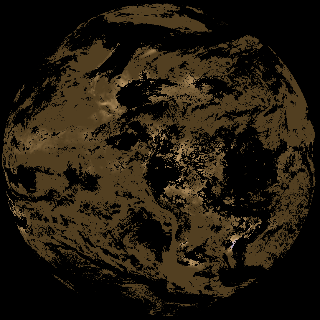
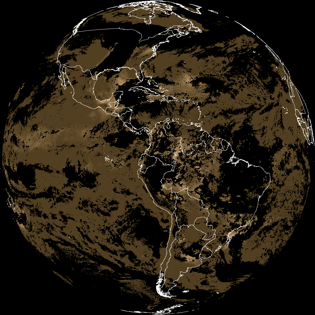
| abi_rgb_Cloud_top_Temperature_(ACHT).png | 11519935 | 2026-Apr-02 19:06 |
| abi_rgb_Cloud_top_Temperature_(ACHT)_map.png | 11625954 | 2026-Apr-02 19:06 |
| abi_rgb_Derived_Stability_Indices_-_CAPE.png | 195763 | 2026-Apr-02 18:40 |
| abi_rgb_Derived_Stability_Indices_-_CAPE_map.png | 209261 | 2026-Apr-02 18:40 |
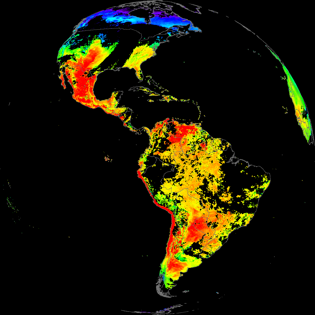
| abi_rgb_Land_Surface_Temperature.png | 168649 | 2026-Apr-02 19:12 |
| abi_rgb_Land_Surface_Temperature_map.png | 176432 | 2026-Apr-02 19:12 |
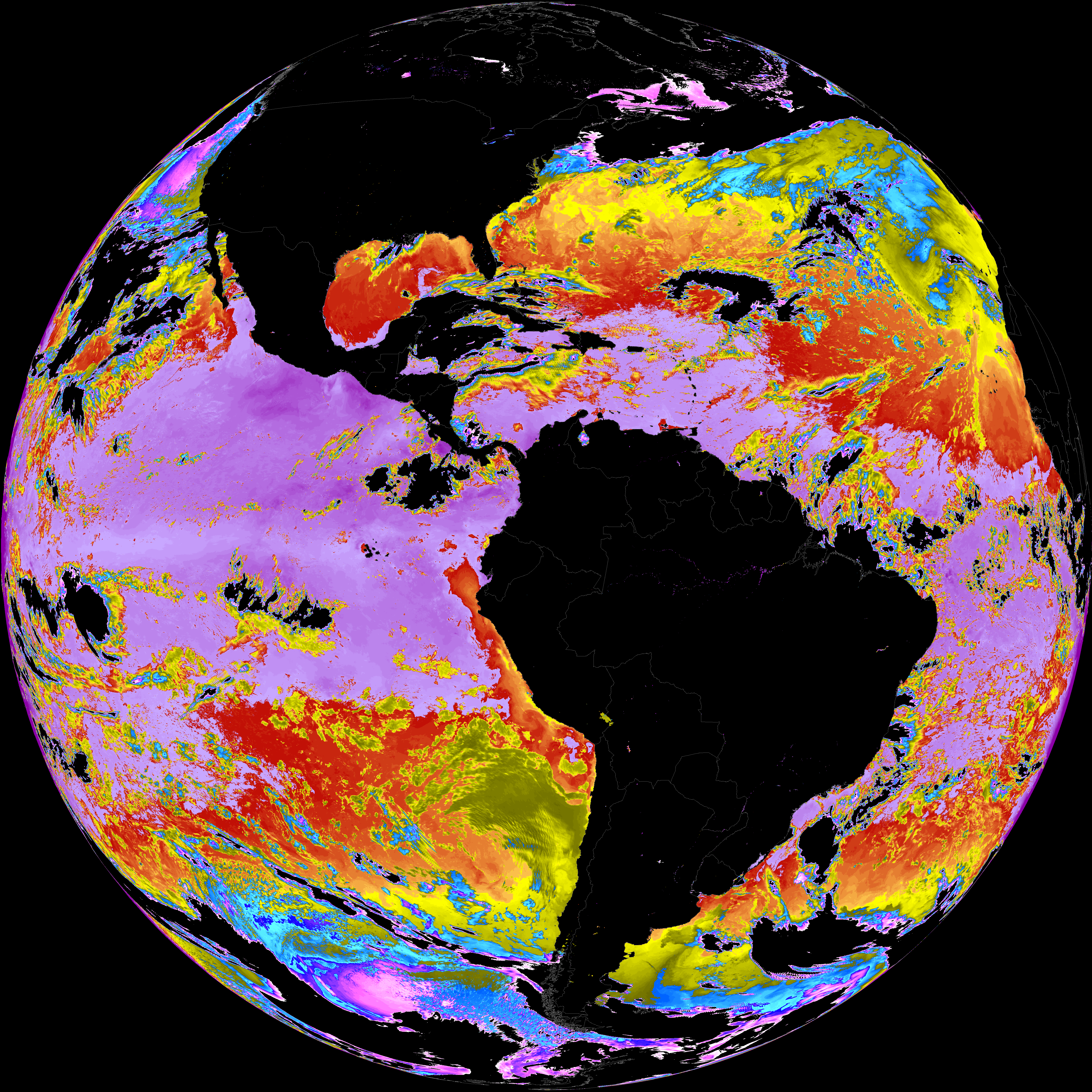
| abi_rgb_Sea_Surface_Temperature.png | 7360695 | 2026-Apr-02 19:10 |
| abi_rgb_Sea_Surface_Temperature_map.png | 7463872 | 2026-Apr-02 19:10 |
| product.cbor | 621 | 2026-Apr-02 19:12 |