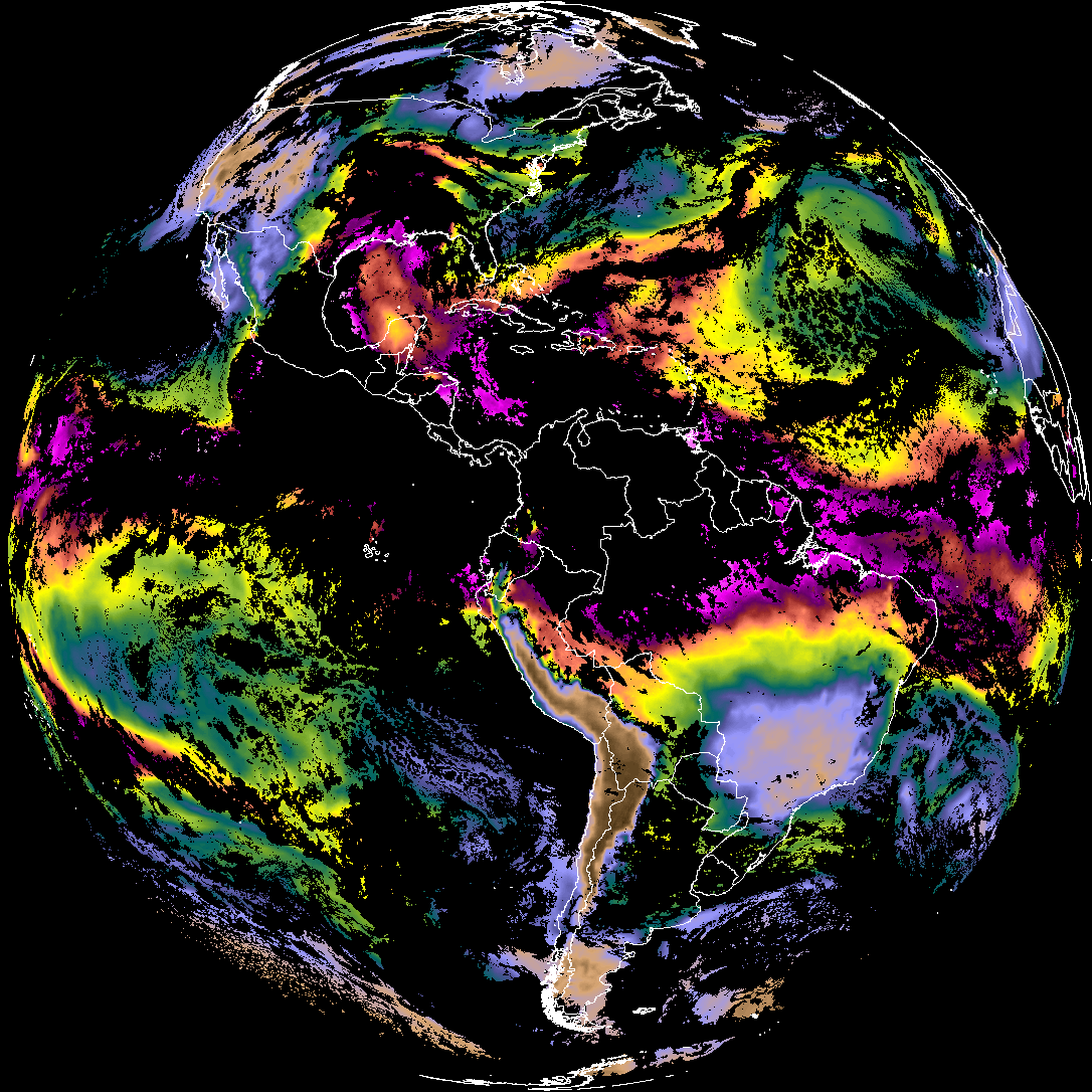
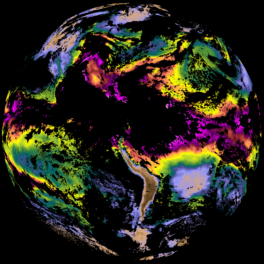
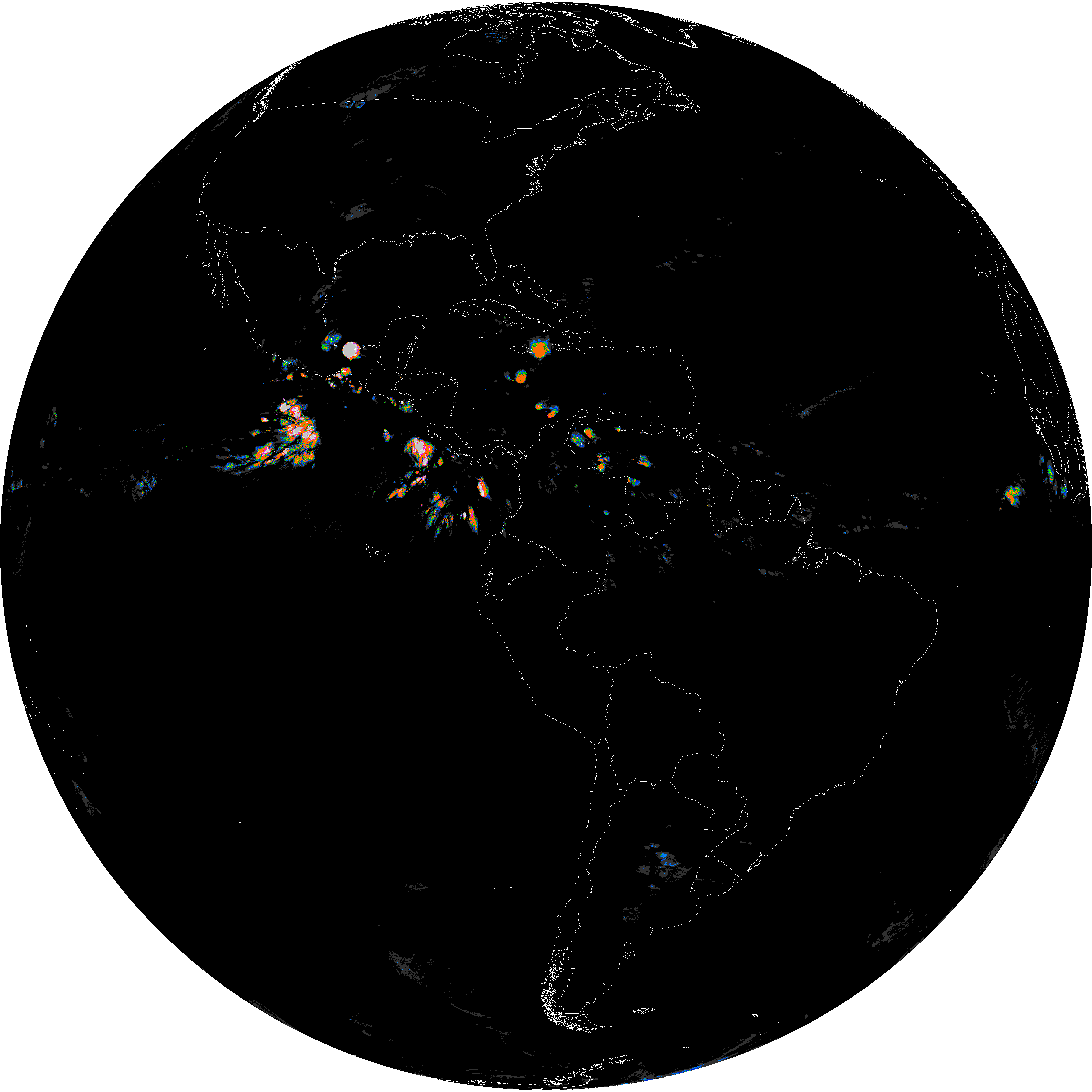
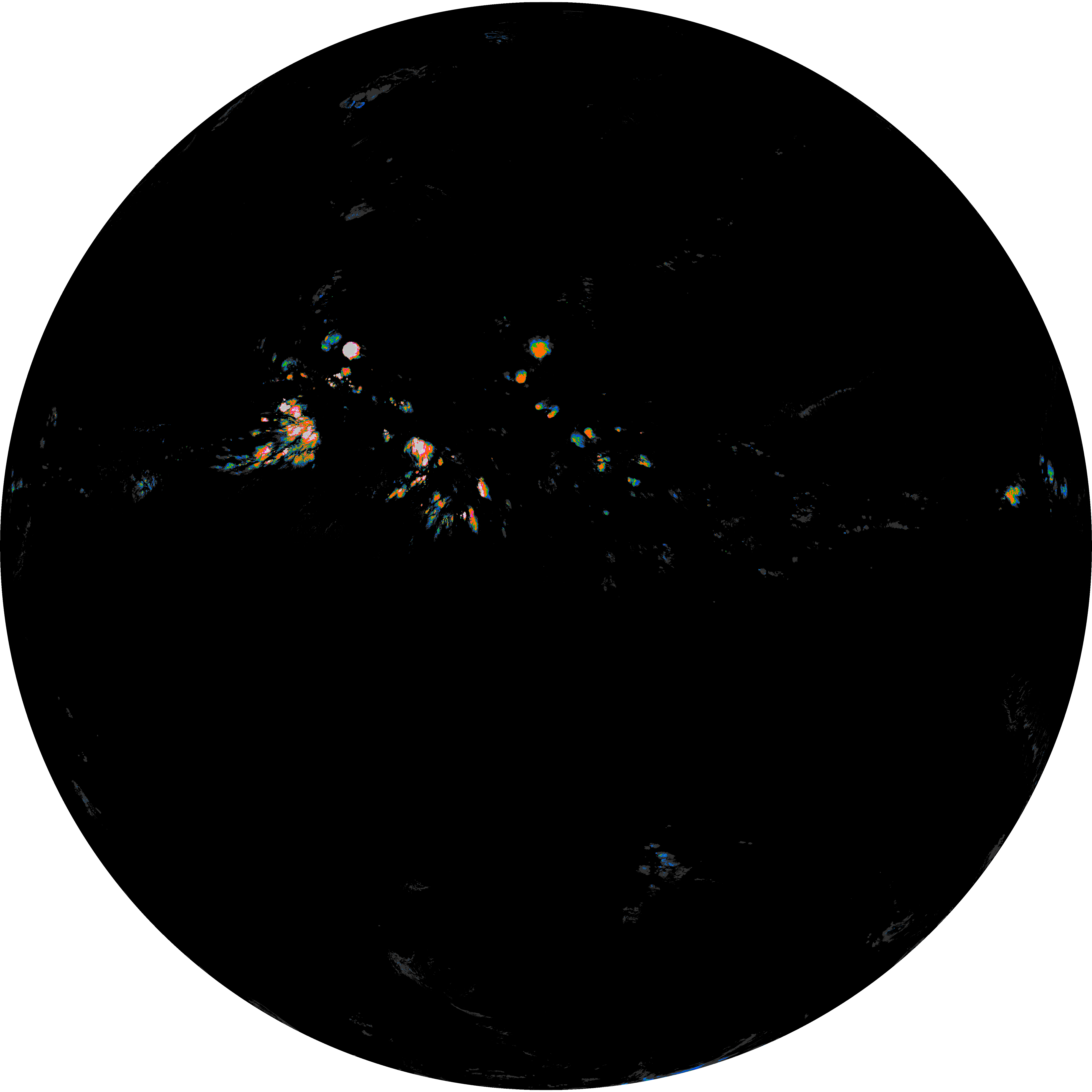
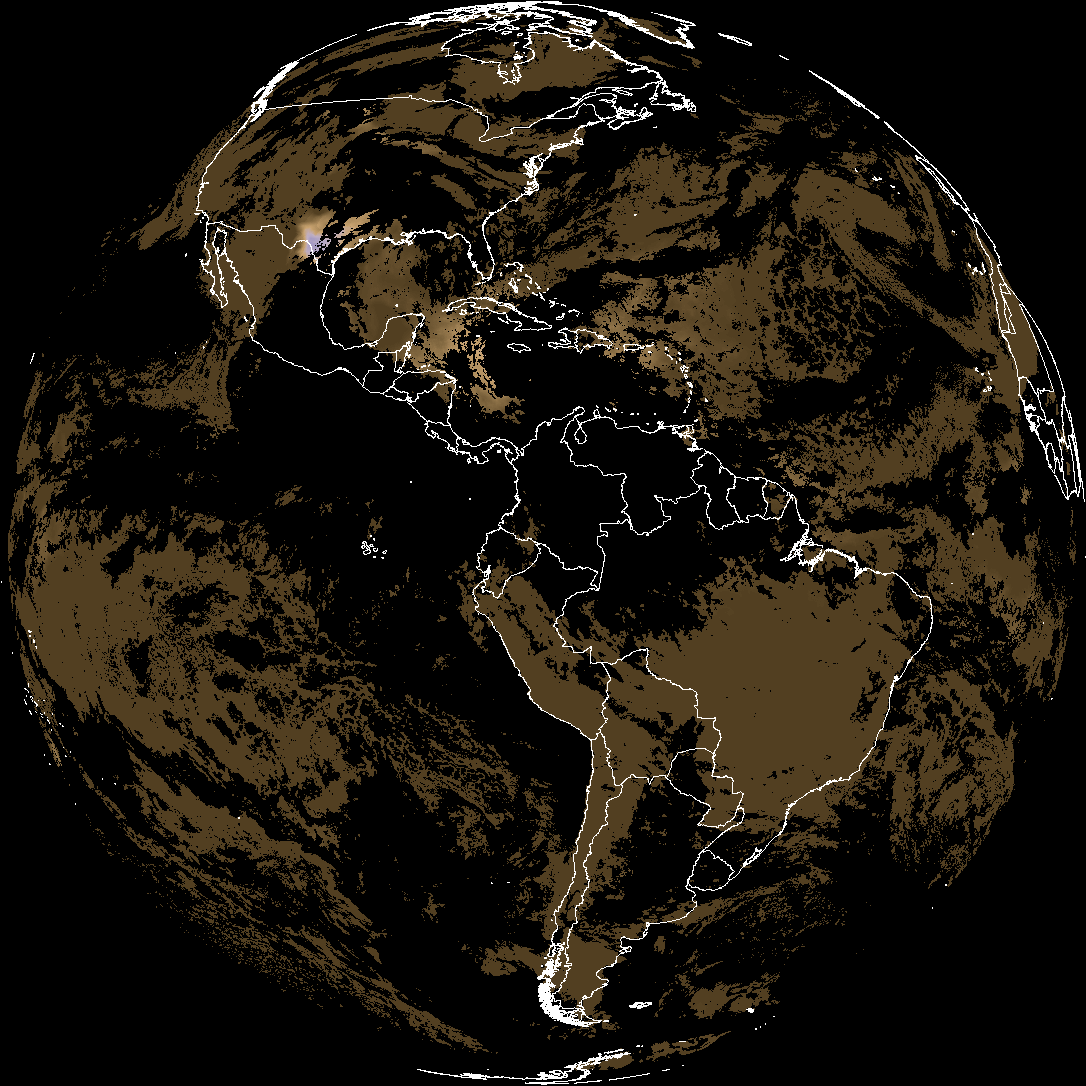
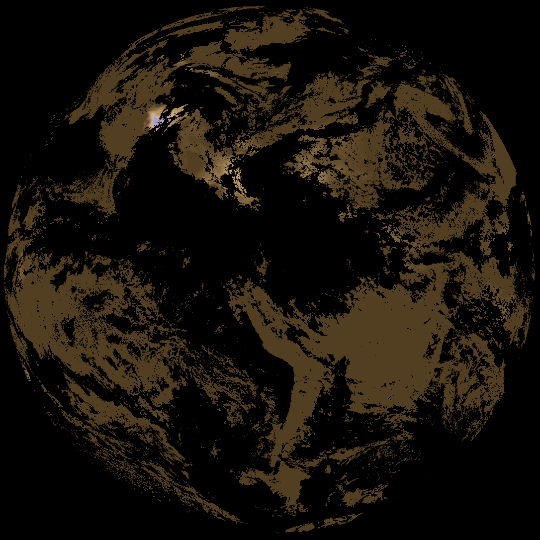
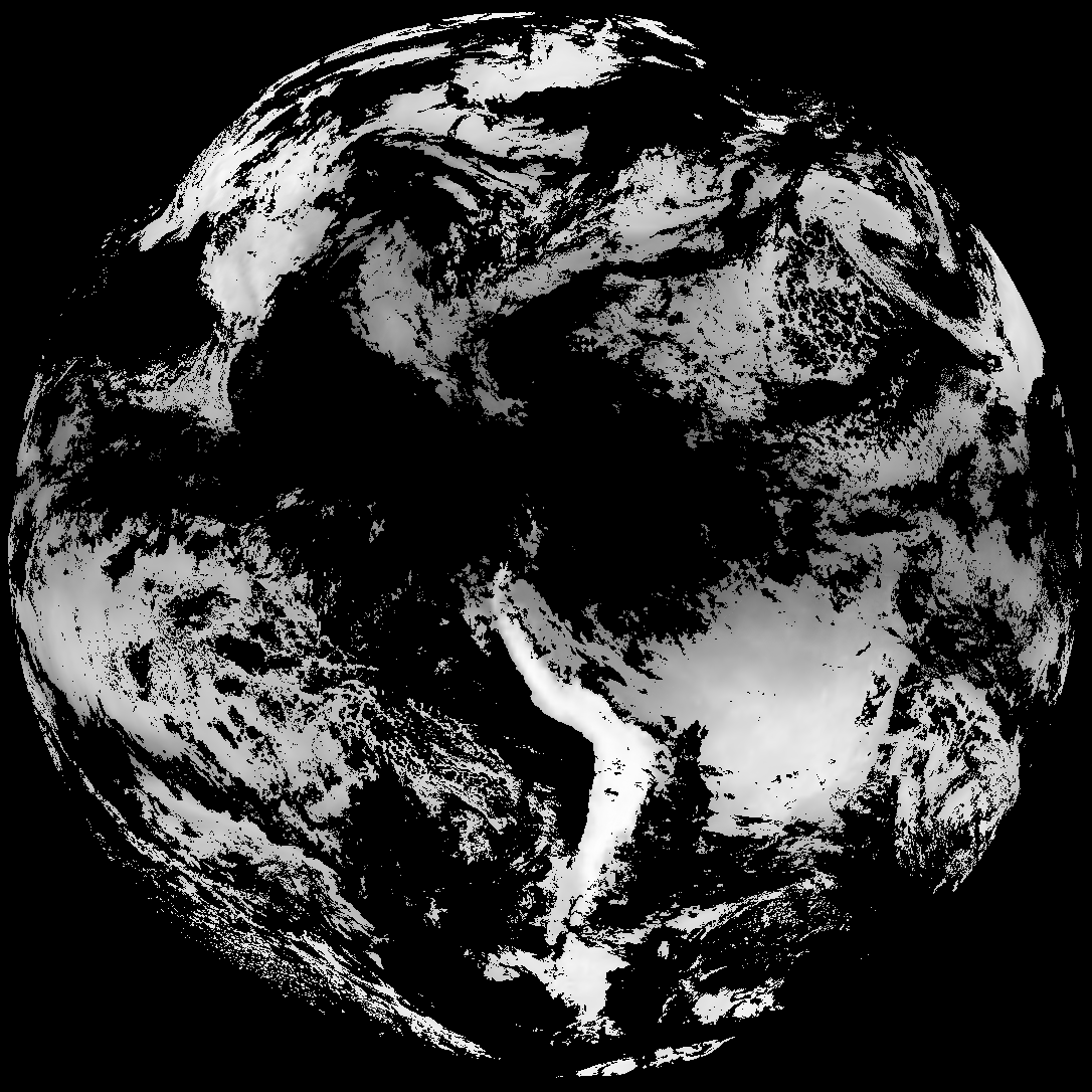
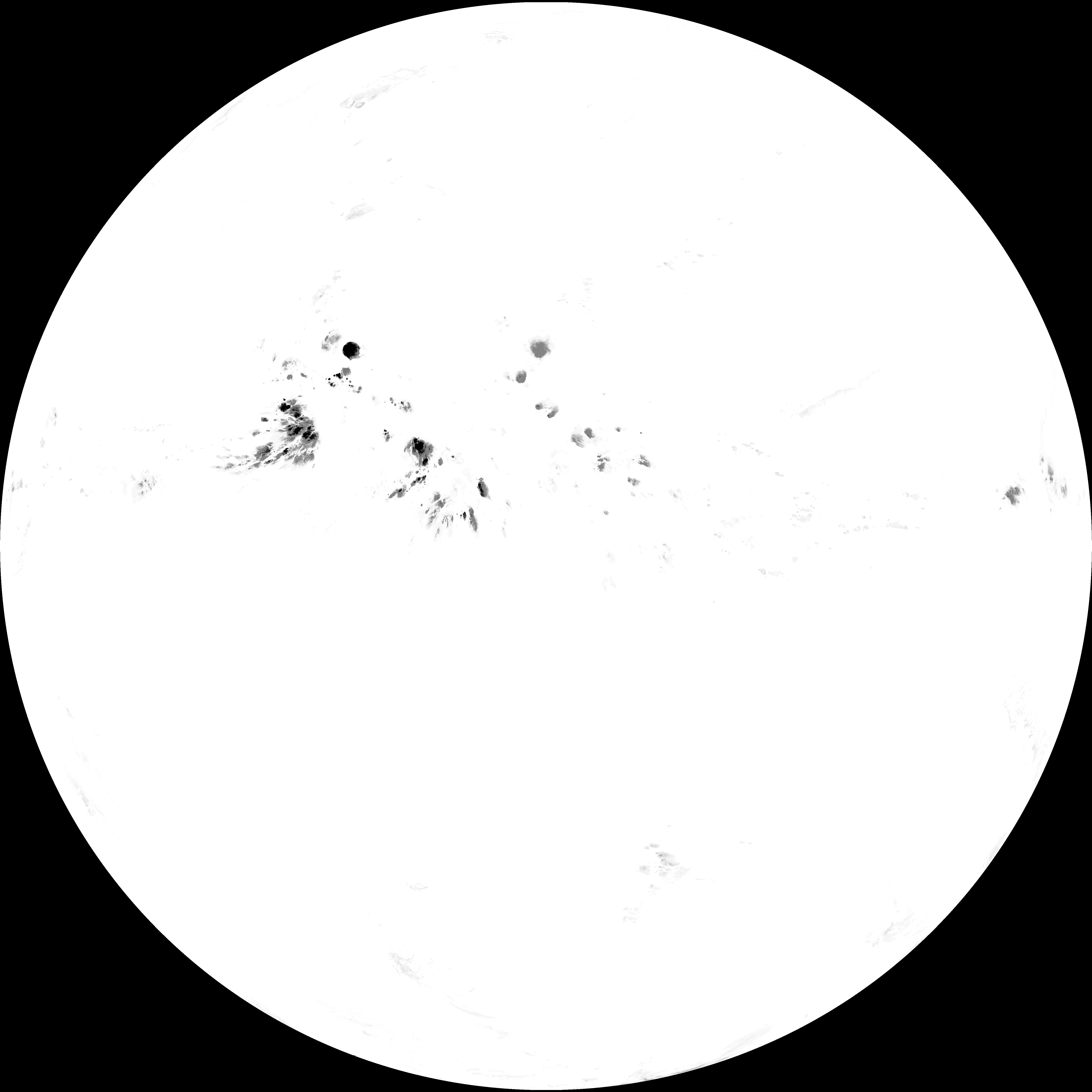
Quicklook renderings of ABI Level-2 geophysical fields. Each timestamp mirrors an imagery folder and includes a product.cbor metadata file.
ACHT/ACHA), Derived Stability Indices (DSI), Total Precipitable Water (TPW), Rain Rate/QPE (RRQPE).SST/LST).G19_TPW_YYYYMMDDThhmmssZ.png with matching abi_rgb_* composites.The accompanying product.cbor files contain projection details that map pixels to Earth coordinates and physical units.
| File Name ↓ | File Size ↓ | Date ↓ |
|---|---|---|
| Parent directory/ | - | - |
| product.cbor | 556 | 2026-Jun-07 08:02 |
| abi_rgb_Total_Precipitable_Water_map.png | 313654 | 2026-Jun-07 08:02 |
| abi_rgb_Total_Precipitable_Water.png | 300552 | 2026-Jun-07 08:02 |
| abi_rgb_Rain_Rate_Per_Quarter_Hour_map.png | 745983 | 2026-Jun-07 08:01 |
| abi_rgb_Rain_Rate_Per_Quarter_Hour.png | 576119 | 2026-Jun-07 08:01 |
| abi_rgb_Derived_Stability_Indices_-_CAPE_map.png | 146300 | 2026-Jun-07 08:02 |
| abi_rgb_Derived_Stability_Indices_-_CAPE.png | 130586 | 2026-Jun-07 08:02 |
| G19_TPW_20260607T075021Z.png | 229694 | 2026-Jun-07 08:02 |
| G19_RRQPE_20260607T075021Z.png | 649166 | 2026-Jun-07 08:01 |
| G19_DSI_20260607T075021Z.png | 96953 | 2026-Jun-07 08:02 |