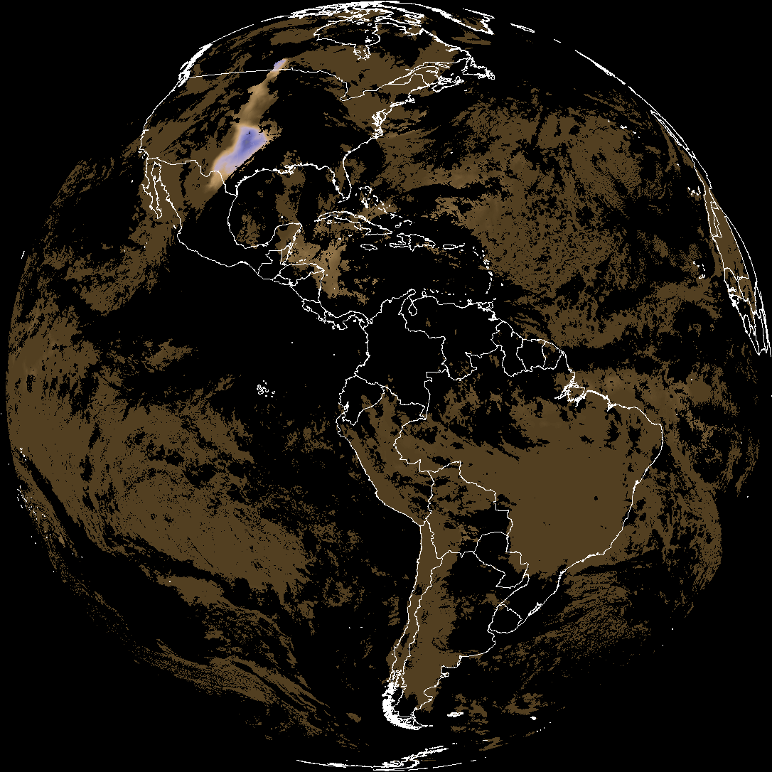
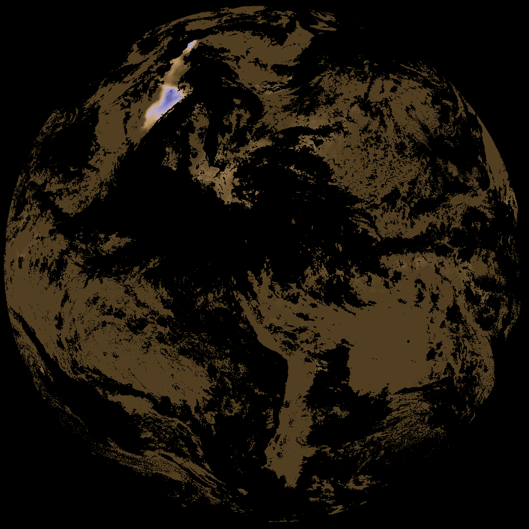
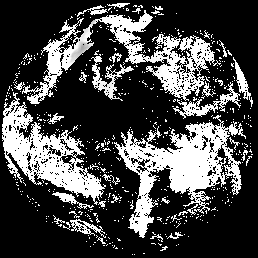
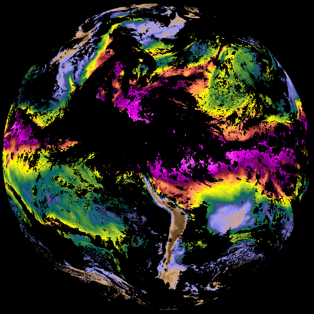
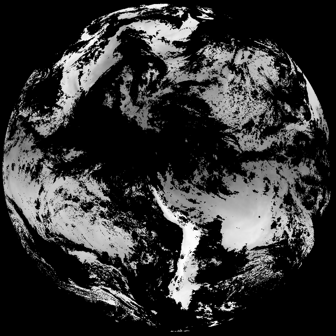
Quicklook renderings of ABI Level-2 geophysical fields. Each timestamp mirrors an imagery folder and includes a product.cbor metadata file.
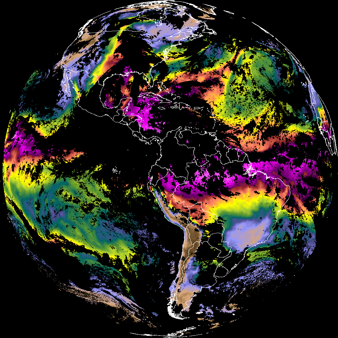
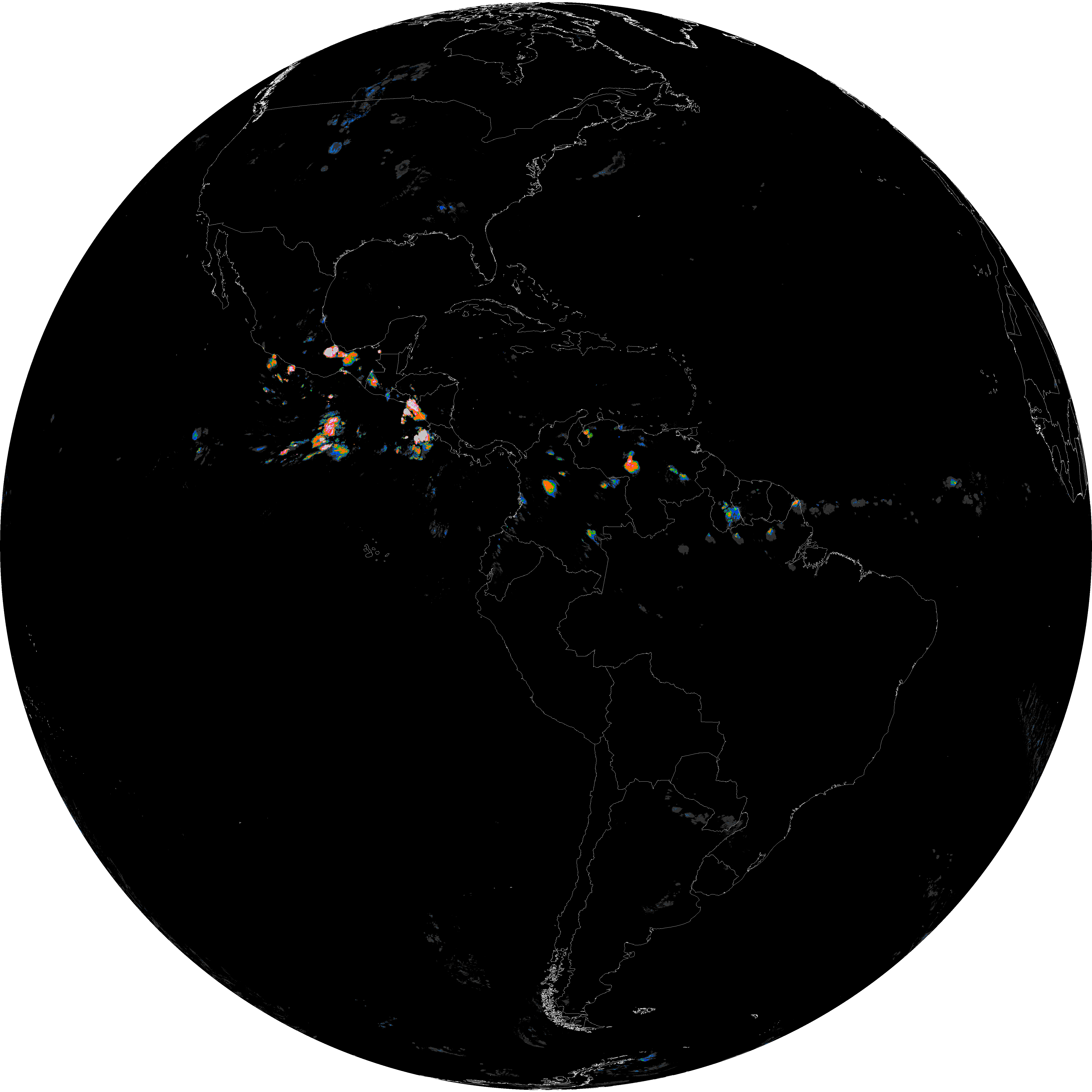
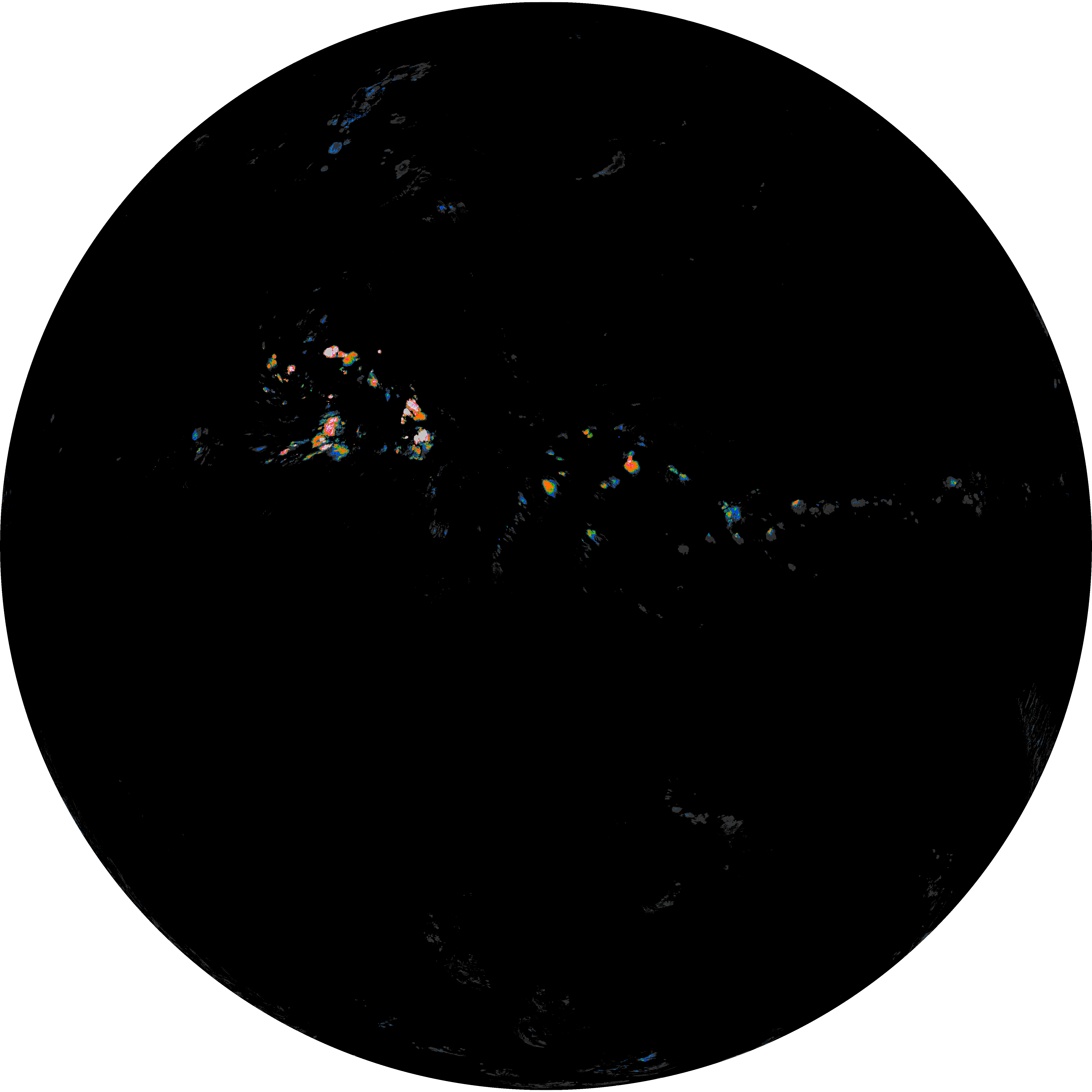
ACHT/ACHA), Derived Stability Indices (DSI), Total Precipitable Water (TPW), Rain Rate/QPE (RRQPE).SST/LST).G19_TPW_YYYYMMDDThhmmssZ.png with matching abi_rgb_* composites.The accompanying product.cbor files contain projection details that map pixels to Earth coordinates and physical units.
| File Name ↓ | File Size ↓ | Date ↓ |
|---|---|---|
| Parent directory/ | - | - |
| abi_rgb_Derived_Stability_Indices_-_CAPE_map.png | 149488 | 2026-Jun-08 03:02 |
| abi_rgb_Derived_Stability_Indices_-_CAPE.png | 133758 | 2026-Jun-08 03:02 |
| G19_DSI_20260608T025021Z.png | 98474 | 2026-Jun-08 03:02 |
| product.cbor | 556 | 2026-Jun-08 03:02 |
| abi_rgb_Total_Precipitable_Water.png | 304421 | 2026-Jun-08 03:02 |
| G19_TPW_20260608T025021Z.png | 232914 | 2026-Jun-08 03:02 |
| abi_rgb_Total_Precipitable_Water_map.png | 317814 | 2026-Jun-08 03:02 |
| abi_rgb_Rain_Rate_Per_Quarter_Hour_map.png | 641549 | 2026-Jun-08 03:01 |
| abi_rgb_Rain_Rate_Per_Quarter_Hour.png | 470953 | 2026-Jun-08 03:01 |
| G19_RRQPE_20260608T025021Z.png | 561472 | 2026-Jun-08 03:01 |