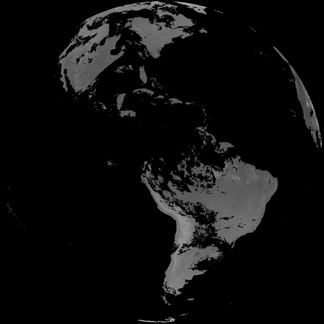
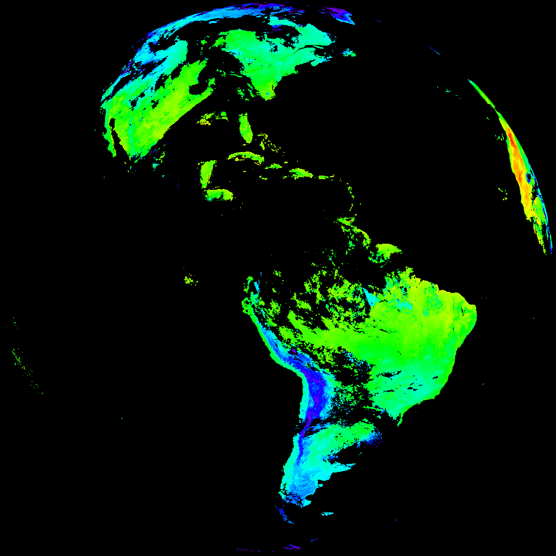
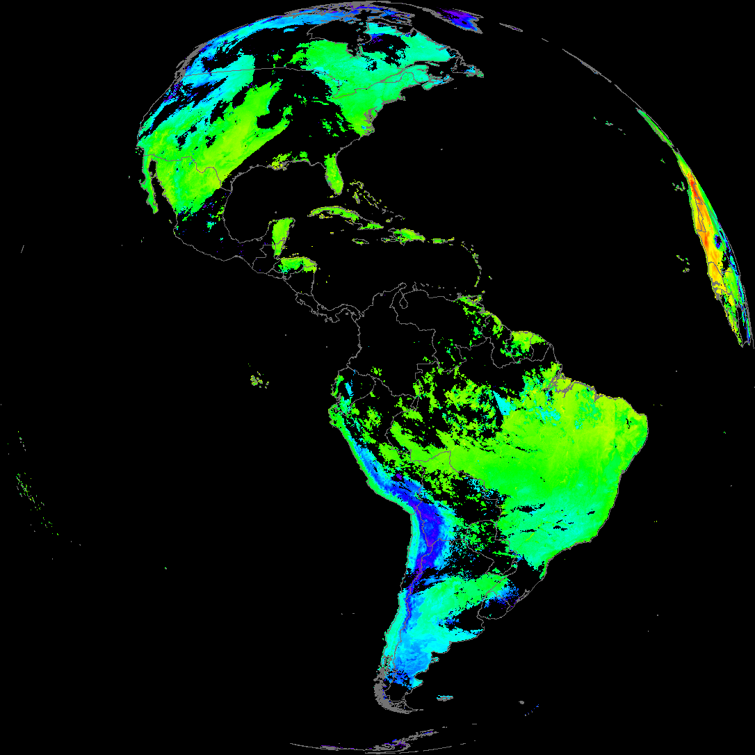
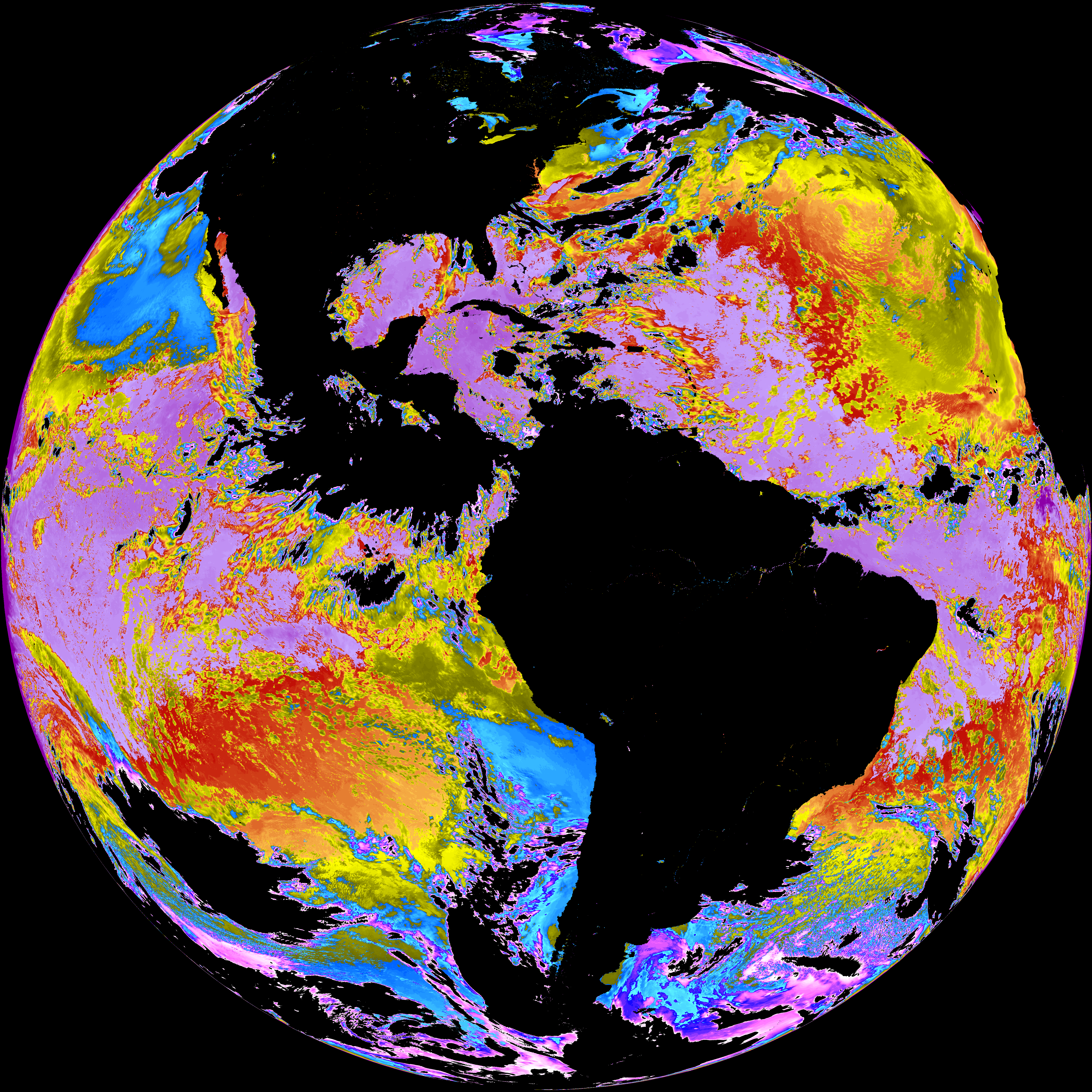
Quicklook renderings of ABI Level-2 geophysical fields. Each timestamp mirrors an imagery folder and includes a product.cbor metadata file.
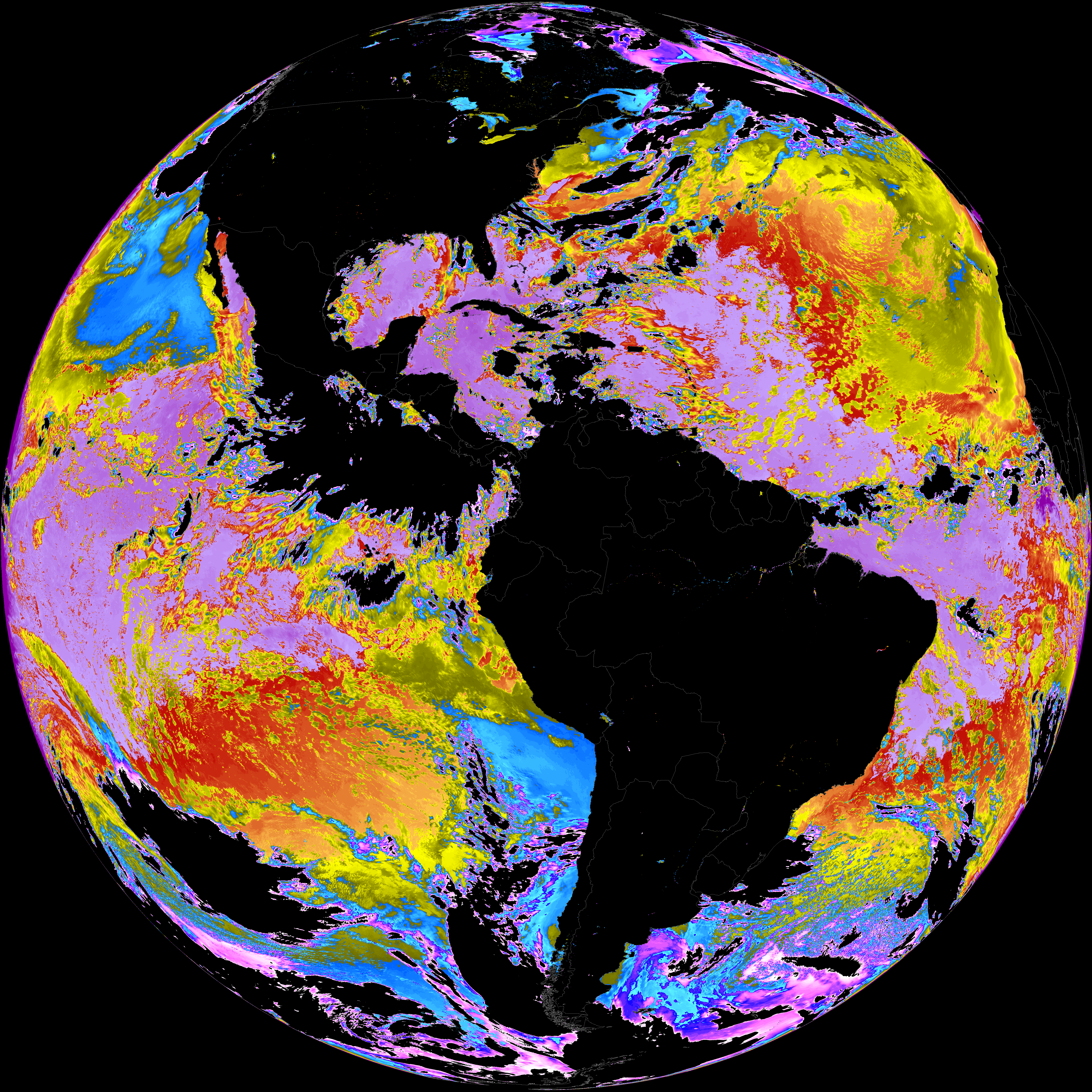
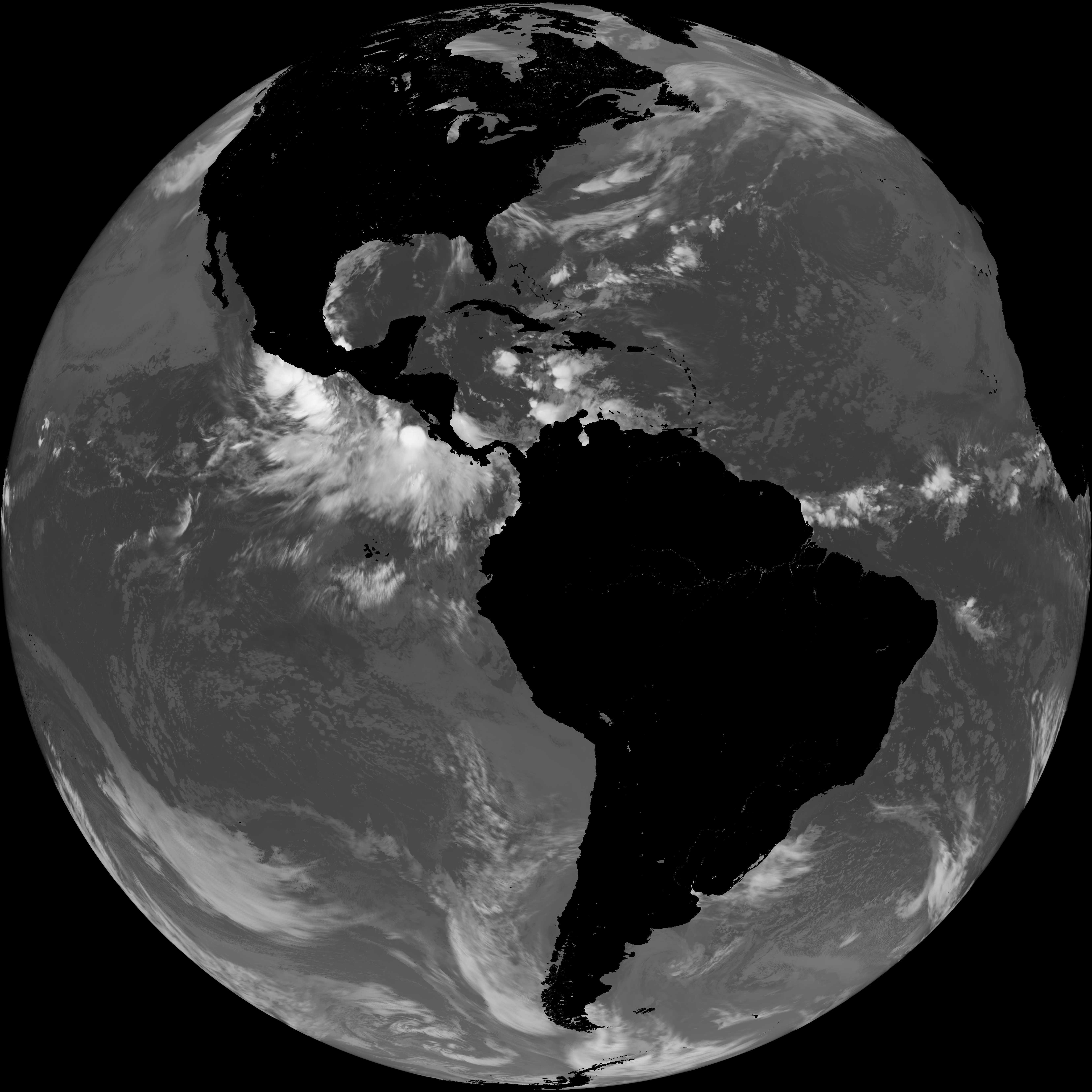
ACHT/ACHA), Derived Stability Indices (DSI), Total Precipitable Water (TPW), Rain Rate/QPE (RRQPE).SST/LST).G19_TPW_YYYYMMDDThhmmssZ.png with matching abi_rgb_* composites.The accompanying product.cbor files contain projection details that map pixels to Earth coordinates and physical units.
| File Name ↓ | File Size ↓ | Date ↓ |
|---|---|---|
| Parent directory/ | - | - |
| product.cbor | 485 | 2026-Jun-08 11:12 |
| G19_LST_20260608T100021Z.png | 116475 | 2026-Jun-08 11:12 |
| abi_rgb_Land_Surface_Temperature.png | 154754 | 2026-Jun-08 11:12 |
| abi_rgb_Land_Surface_Temperature_map.png | 162826 | 2026-Jun-08 11:12 |
| abi_rgb_Sea_Surface_Temperature.png | 7872200 | 2026-Jun-08 11:10 |
| abi_rgb_Sea_Surface_Temperature_map.png | 7977159 | 2026-Jun-08 11:10 |
| G19_SST_20260608T100021Z.png | 8106979 | 2026-Jun-08 11:10 |