This directory hosts downlinked GOES products captured via SatDump. Content is organized by product family so operators and visitors can locate the feeds they need quickly.
| File Name ↓ | File Size ↓ | Date ↓ |
|---|---|---|
| Parent directory/ | - | - |
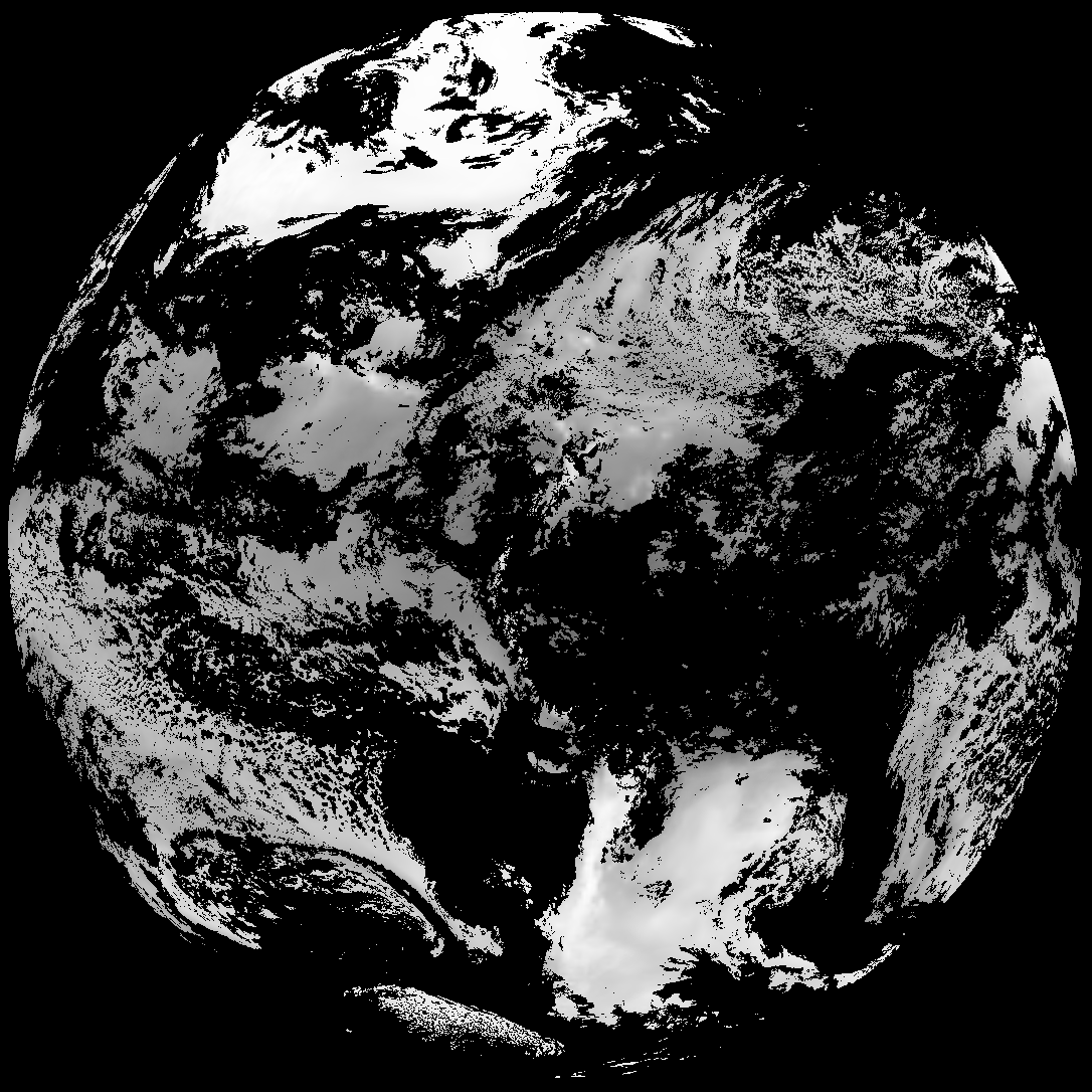
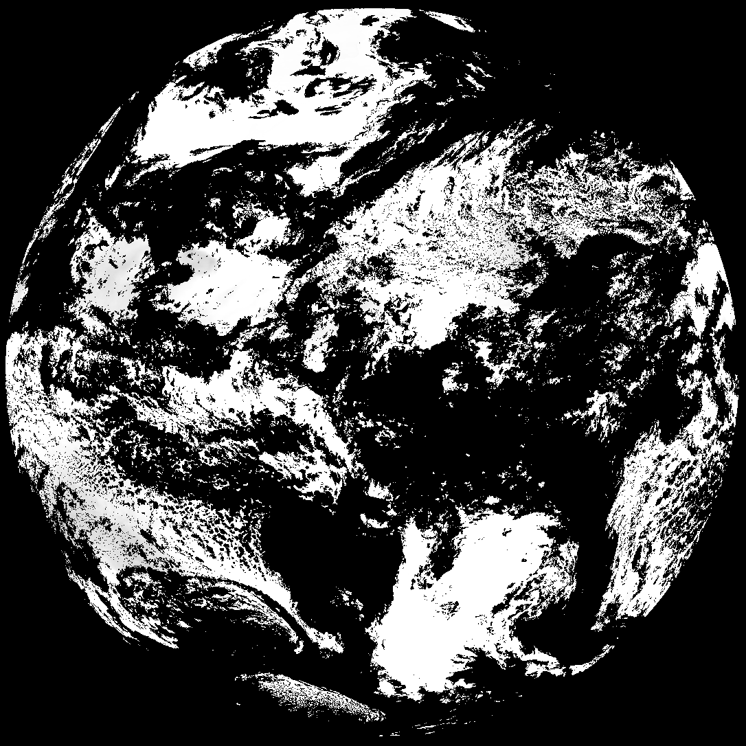
| G19_TPW_20260120T110020Z.png | 218052 | 2026-Jan-20 11:28 |
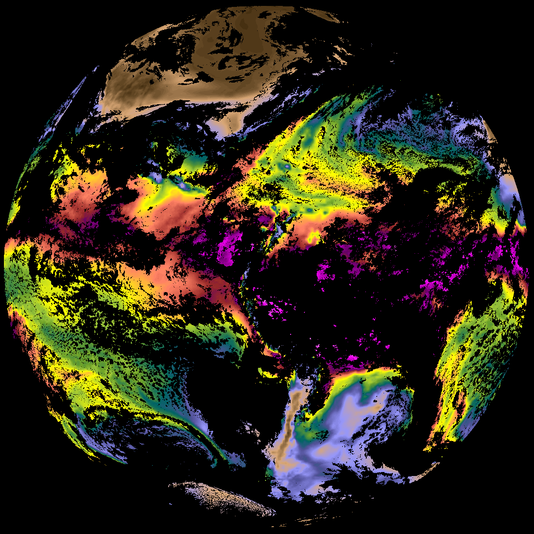
| abi_rgb_Total_Precipitable_Water.png | 287492 | 2026-Jan-20 11:29 |
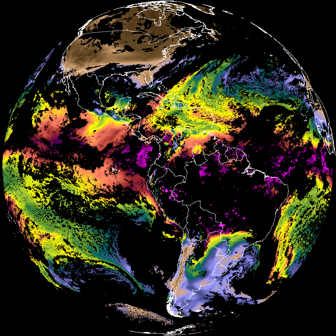
| abi_rgb_Total_Precipitable_Water_map.png | 300574 | 2026-Jan-20 11:29 |
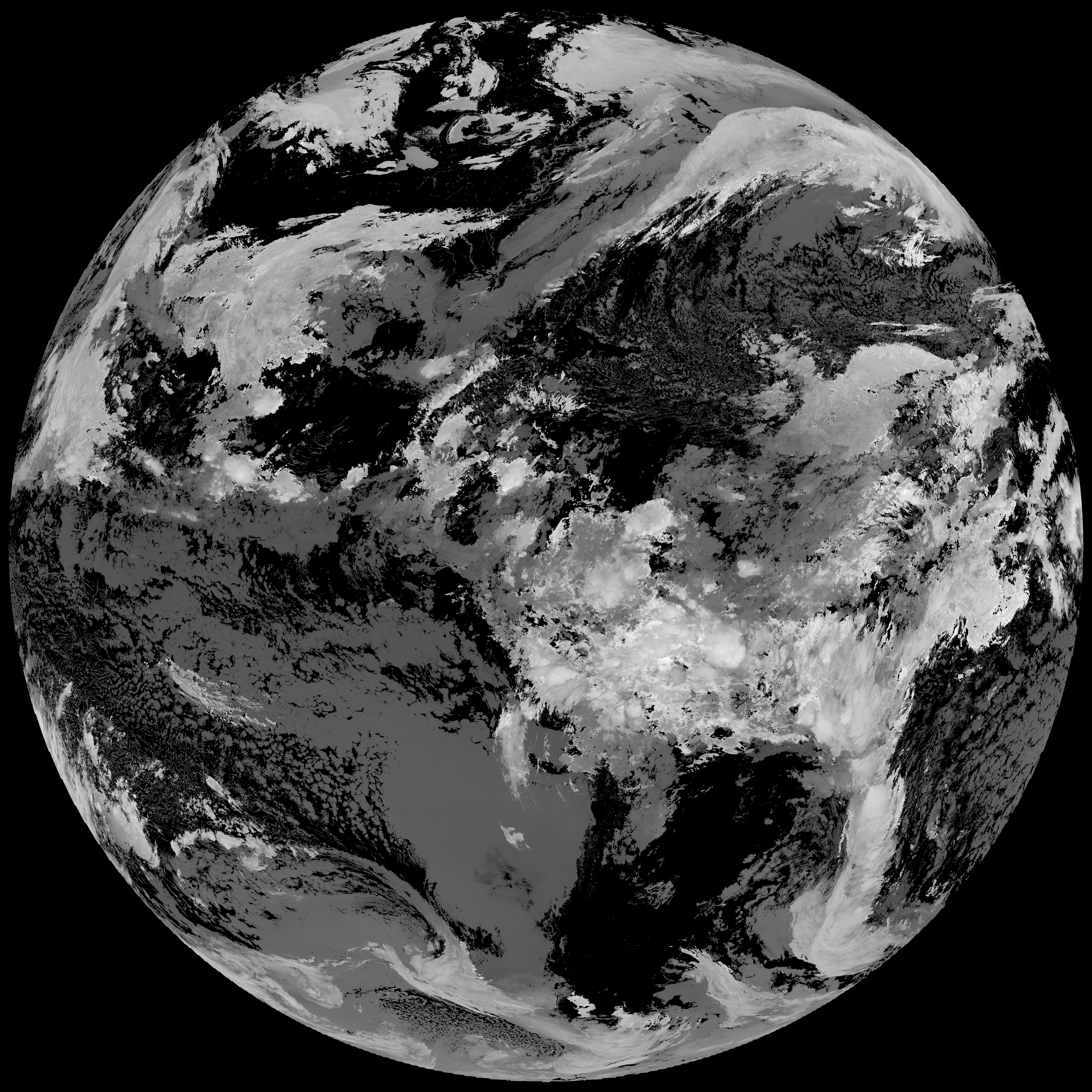
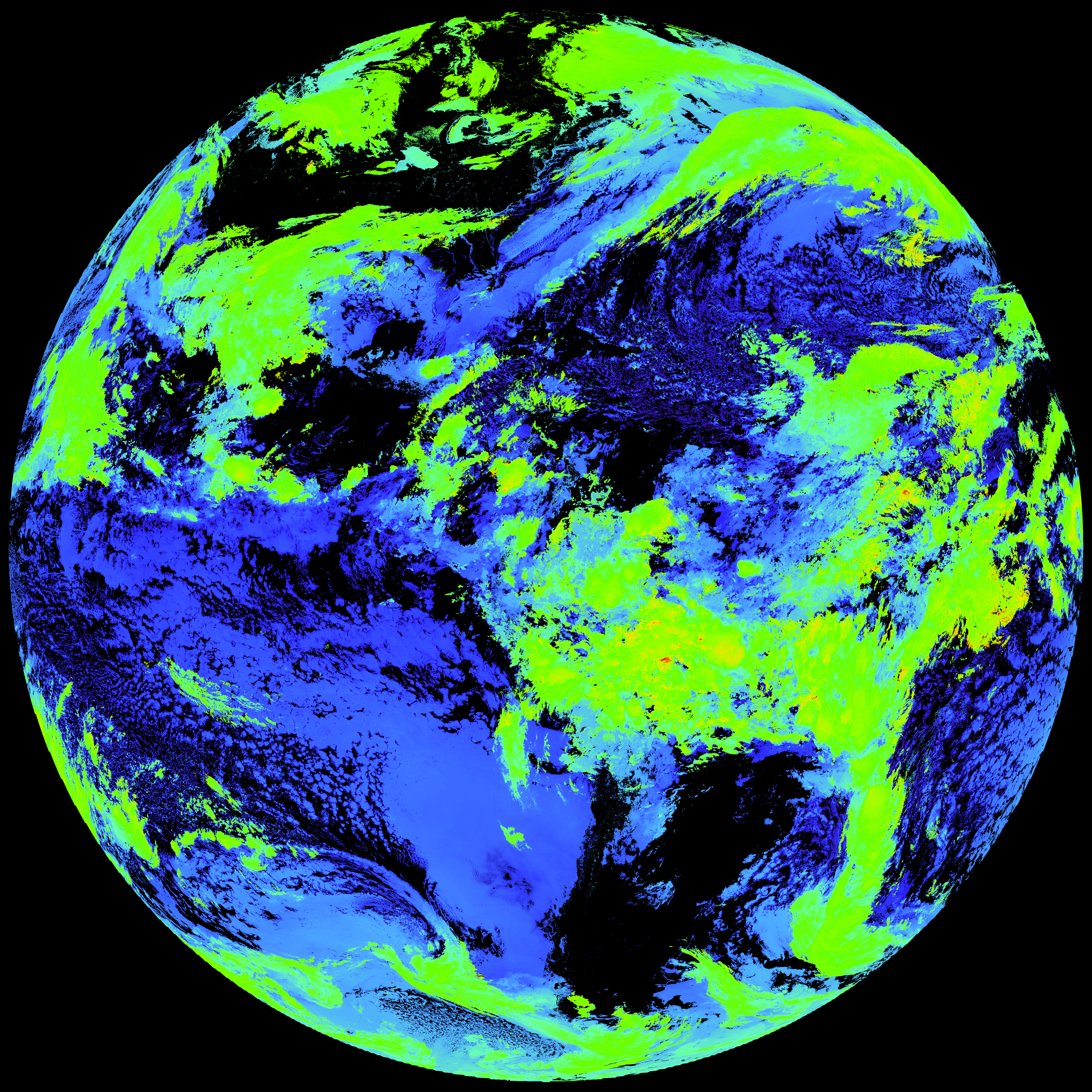
| G19_ACHT_20260120T110020Z.png | 12104427 | 2026-Jan-20 11:33 |
| abi_rgb_Cloud_top_Temperature_(ACHT).png | 16253780 | 2026-Jan-20 11:33 |
| abi_rgb_Cloud_top_Temperature_(ACHT)_map.png | 16328942 | 2026-Jan-20 11:33 |
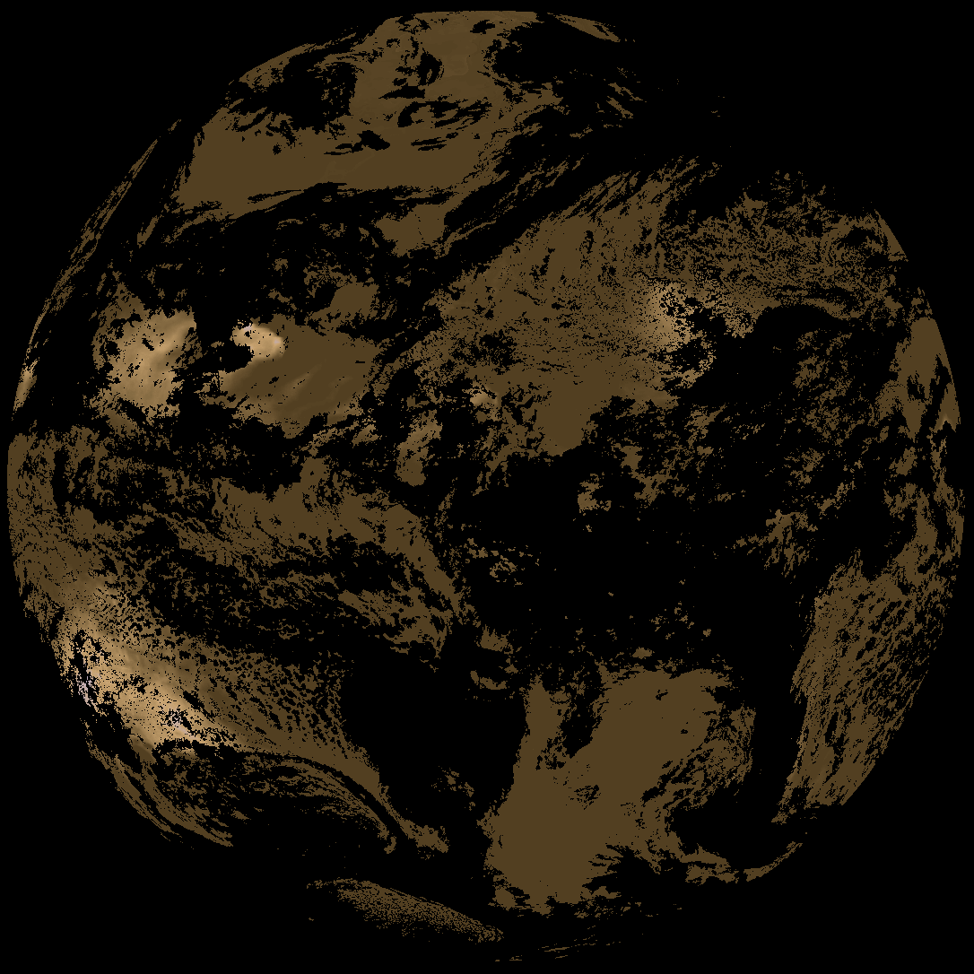
| abi_rgb_Derived_Stability_Indices_-_CAPE.png | 158059 | 2026-Jan-20 11:34 |
| product.cbor | 554 | 2026-Jan-20 11:34 |
| G19_DSI_20260120T110020Z.png | 121079 | 2026-Jan-20 11:34 |
| abi_rgb_Derived_Stability_Indices_-_CAPE_map.png | 174687 | 2026-Jan-20 11:34 |