This directory hosts downlinked GOES products captured via SatDump. Content is organized by product family so operators and visitors can locate the feeds they need quickly.
| File Name ↓ | File Size ↓ | Date ↓ |
|---|---|---|
| Parent directory/ | - | - |
| abi_rgb_Derived_Stability_Indices_-_CAPE_map.png | 183445 | 2026-Jan-23 18:40 |
| abi_rgb_Derived_Stability_Indices_-_CAPE.png | 169177 | 2026-Jan-23 18:40 |
| G19_DSI_20260123T180020Z.png | 125109 | 2026-Jan-23 18:40 |
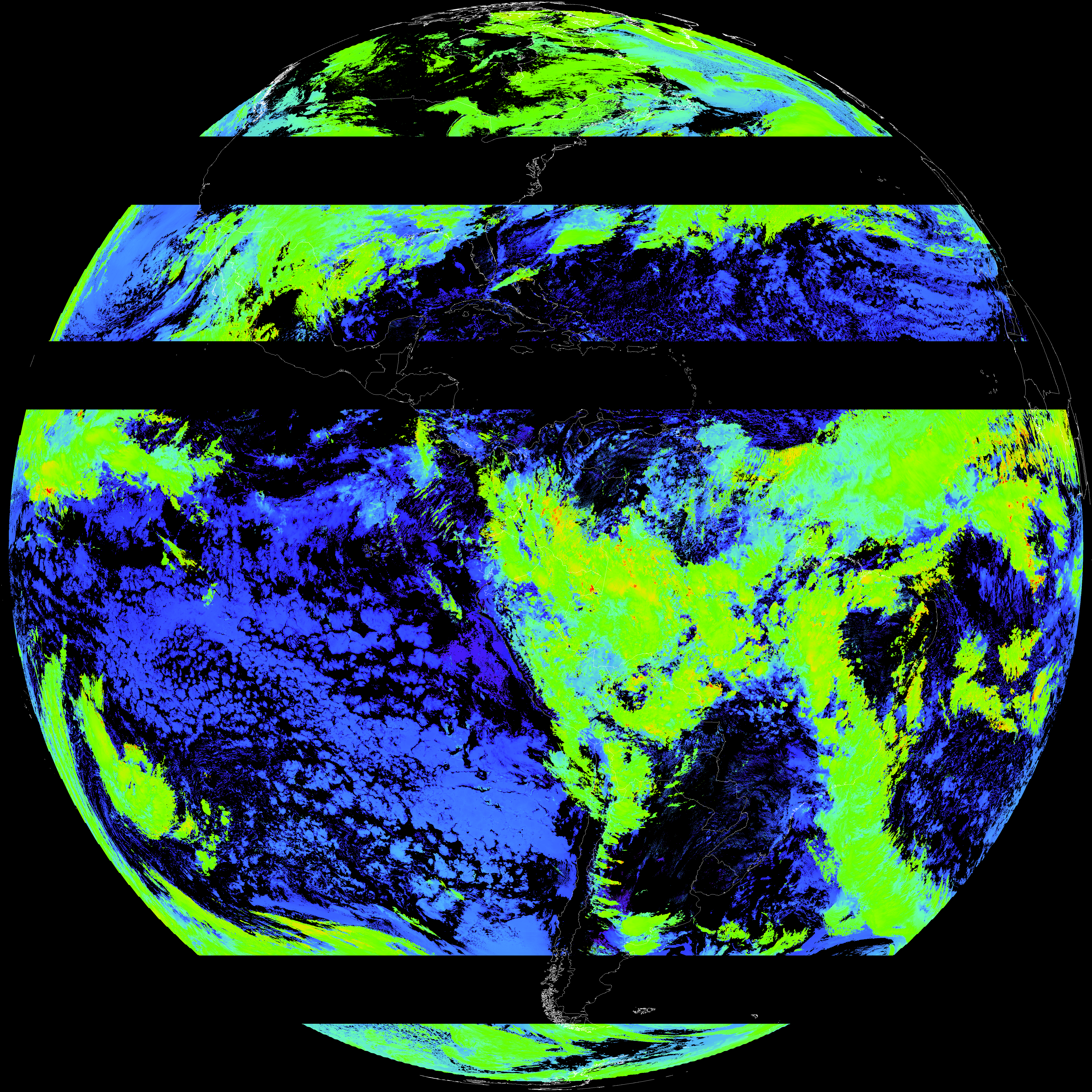
| G19_ACHT_20260123T180020Z.png | 9838062 | 2026-Jan-23 19:06 |
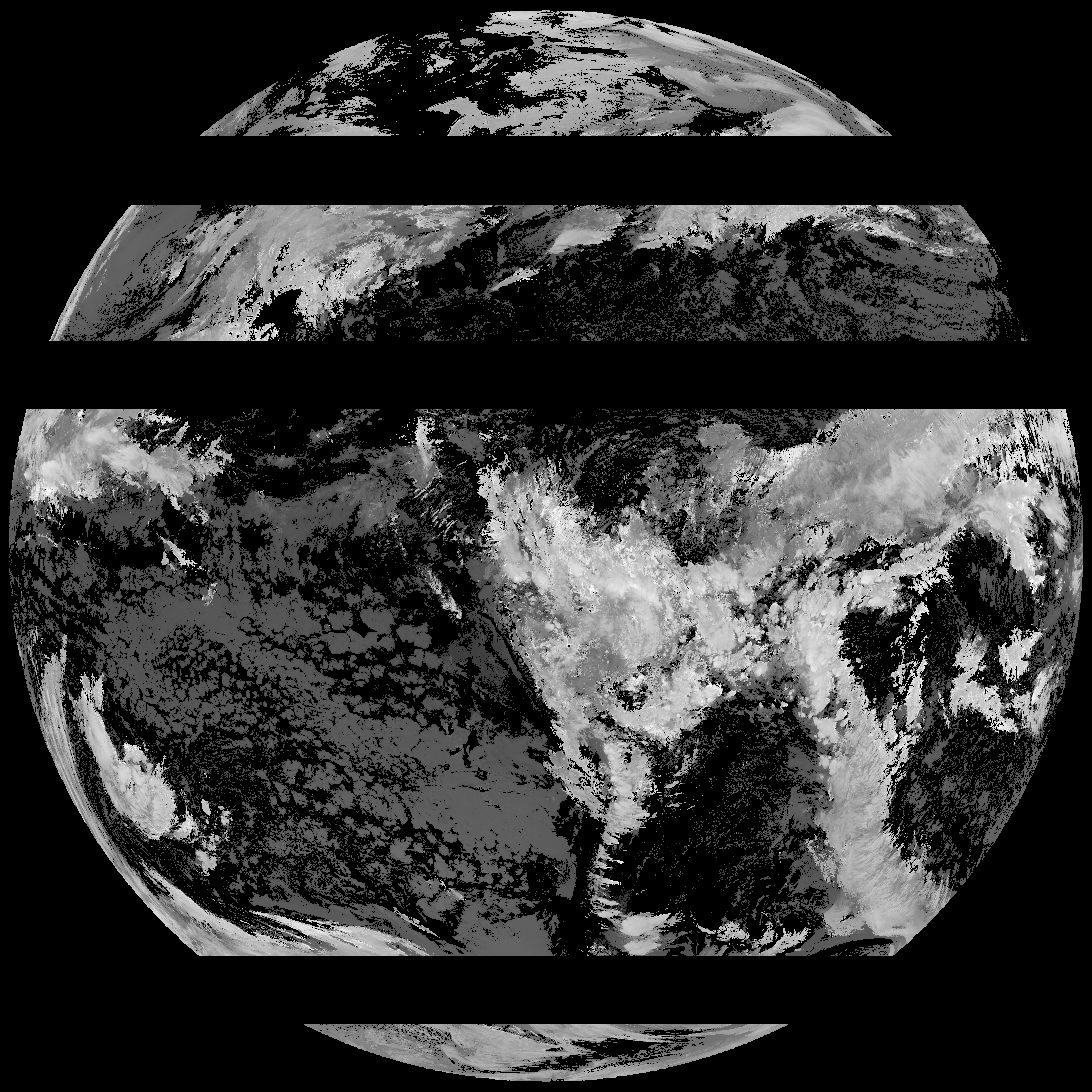
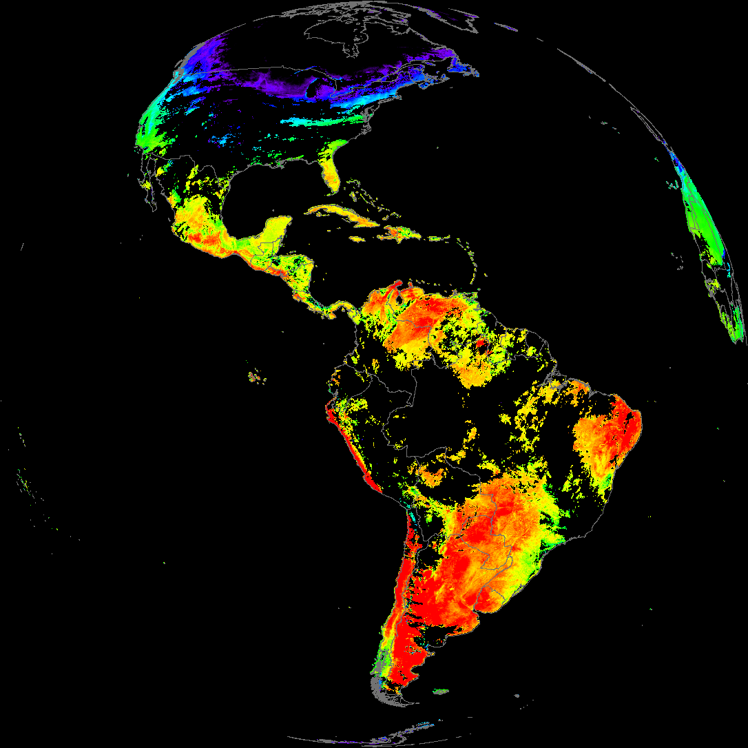
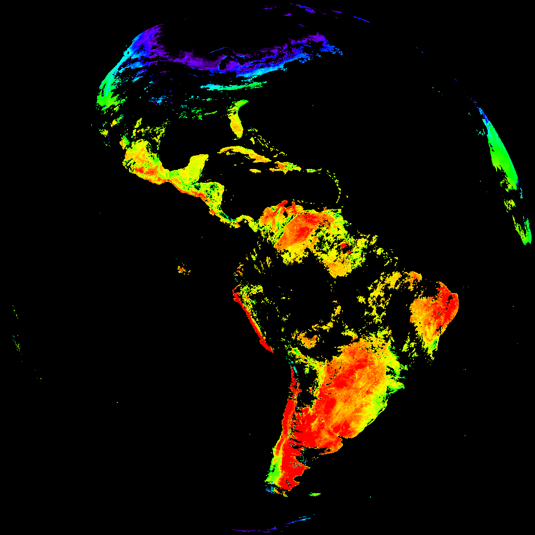
| abi_rgb_Cloud_top_Temperature_(ACHT).png | 13273700 | 2026-Jan-23 19:06 |
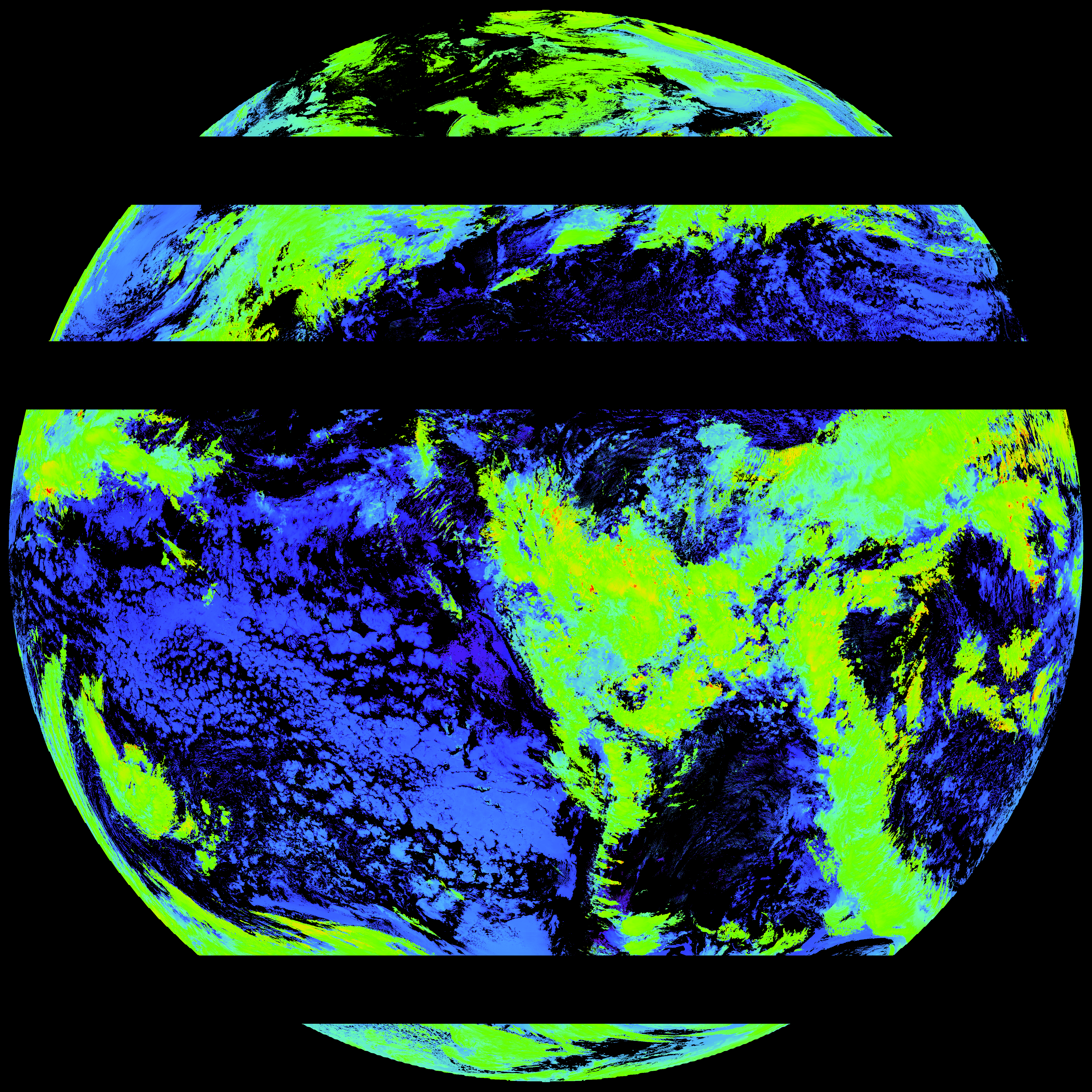
| abi_rgb_Cloud_top_Temperature_(ACHT)_map.png | 13367517 | 2026-Jan-23 19:06 |
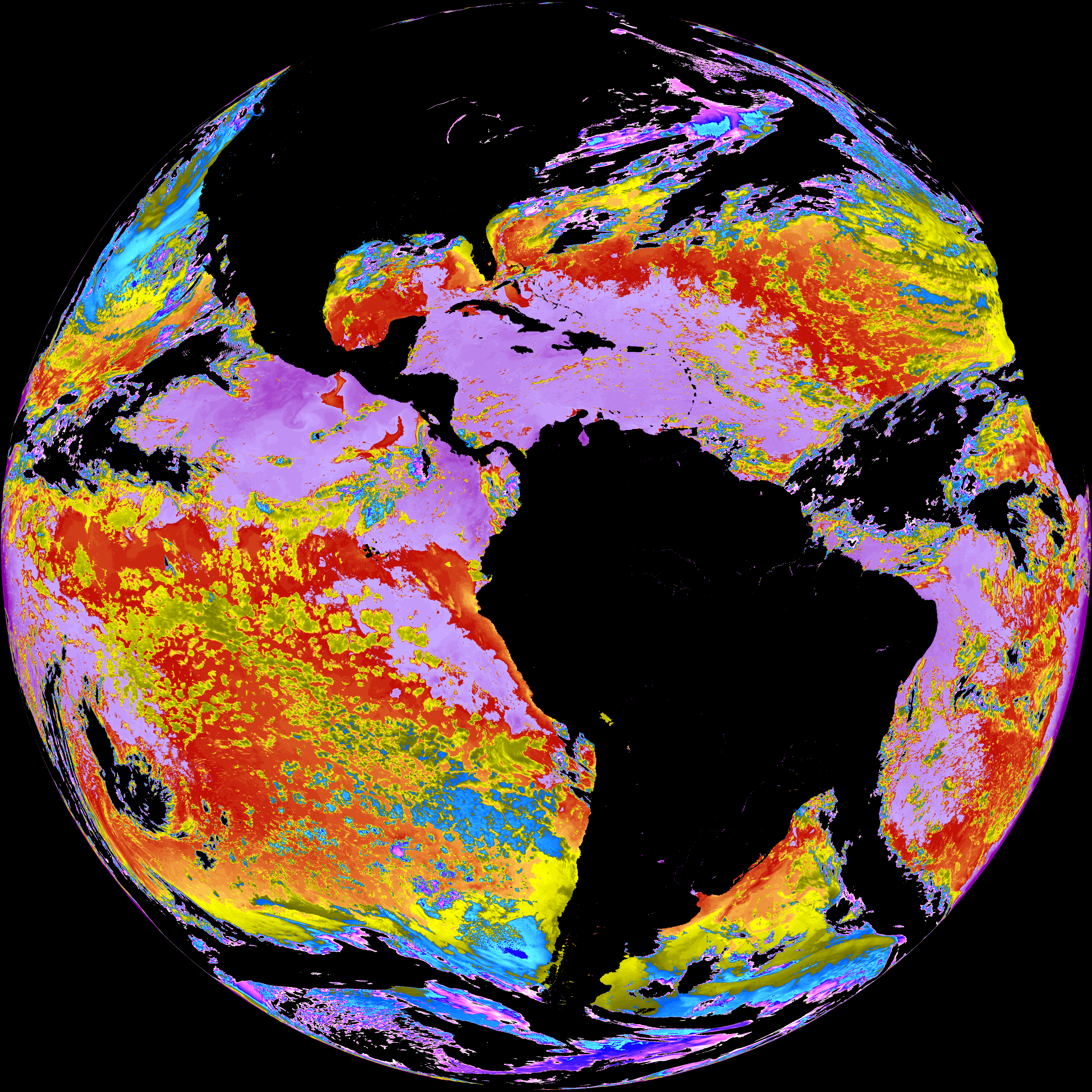
| G19_SST_20260123T180020Z.png | 7650829 | 2026-Jan-23 19:09 |
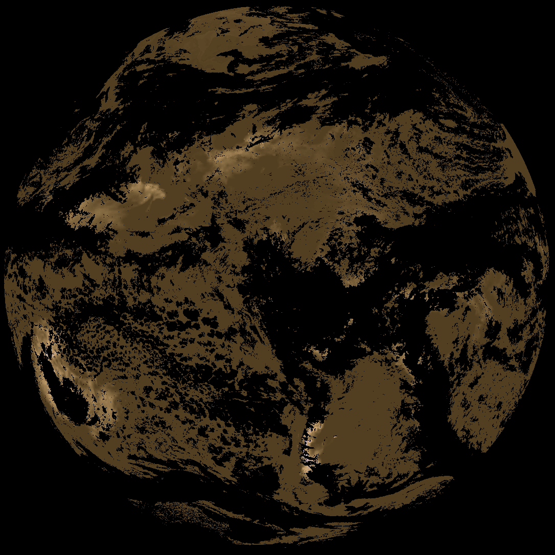
| abi_rgb_Sea_Surface_Temperature.png | 7298584 | 2026-Jan-23 19:09 |
| abi_rgb_Sea_Surface_Temperature_map.png | 7402819 | 2026-Jan-23 19:09 |
| product.cbor | 621 | 2026-Jan-23 19:12 |
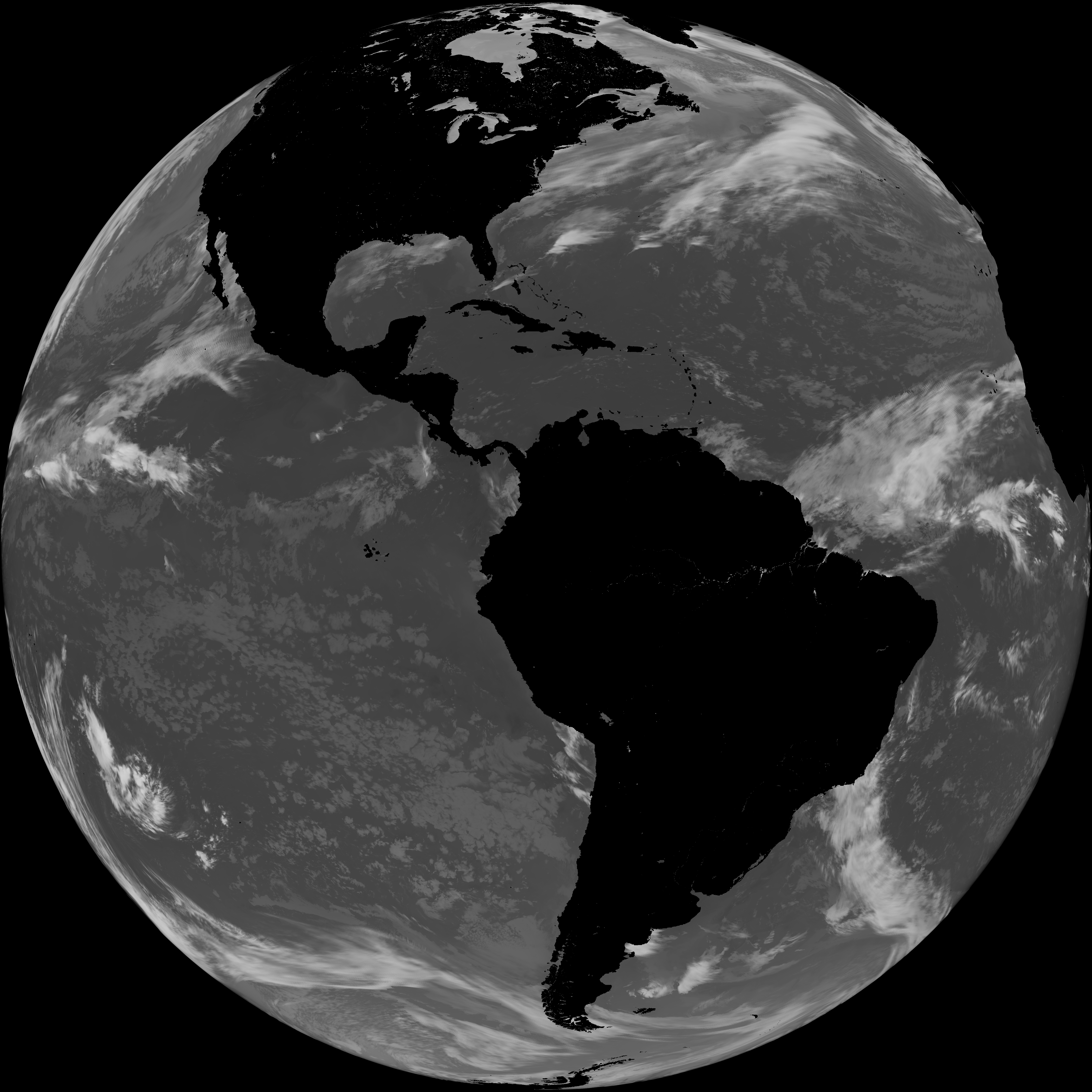
| G19_LST_20260123T180020Z.png | 120710 | 2026-Jan-23 19:12 |
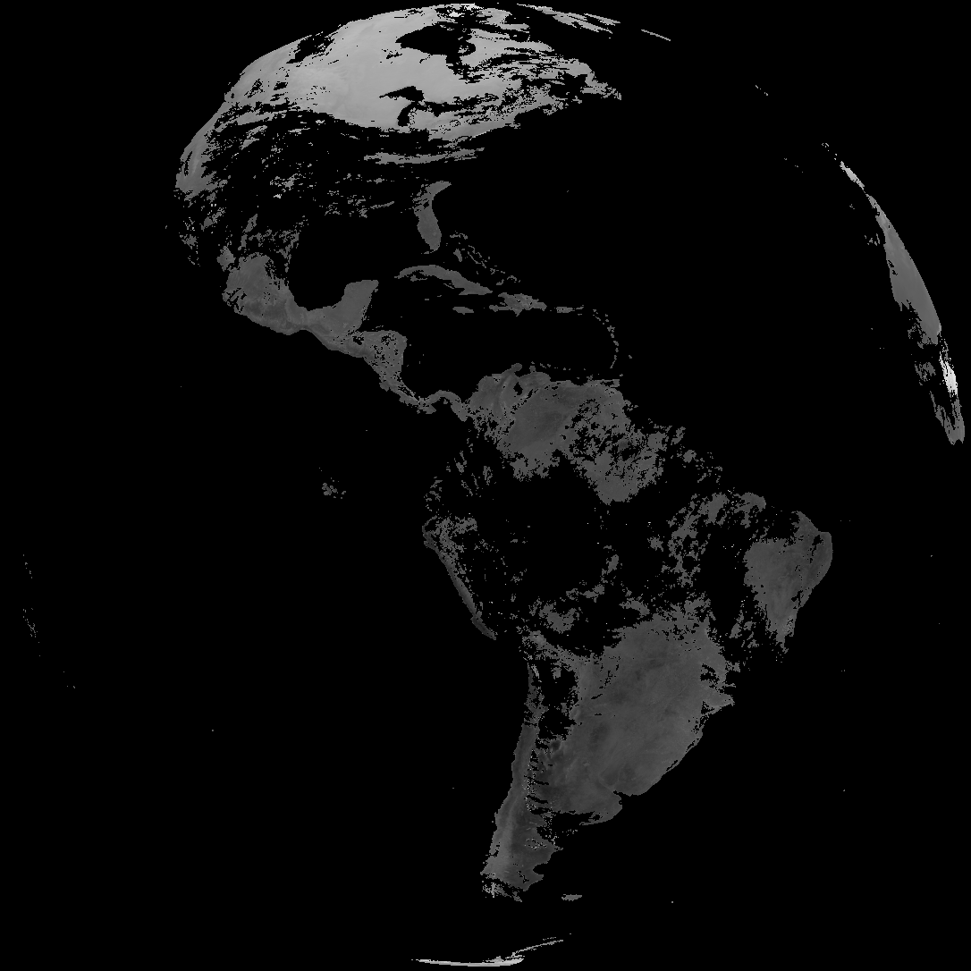
| abi_rgb_Land_Surface_Temperature_map.png | 149017 | 2026-Jan-23 19:12 |
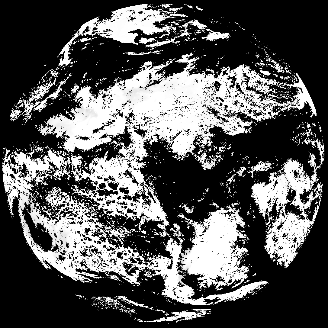
| abi_rgb_Land_Surface_Temperature.png | 141075 | 2026-Jan-23 19:12 |