This directory hosts downlinked GOES products captured via SatDump. Content is organized by product family so operators and visitors can locate the feeds they need quickly.
| File Name ↓ | File Size ↓ | Date ↓ |
|---|---|---|
| Parent directory/ | - | - |
| product.cbor | 625 | 2026-Jan-29 18:04 |
| G19_DSI_20260129T175021Z.png | 128656 | 2026-Jan-29 18:04 |
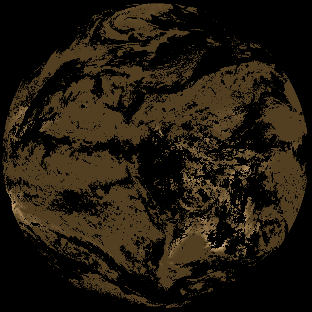
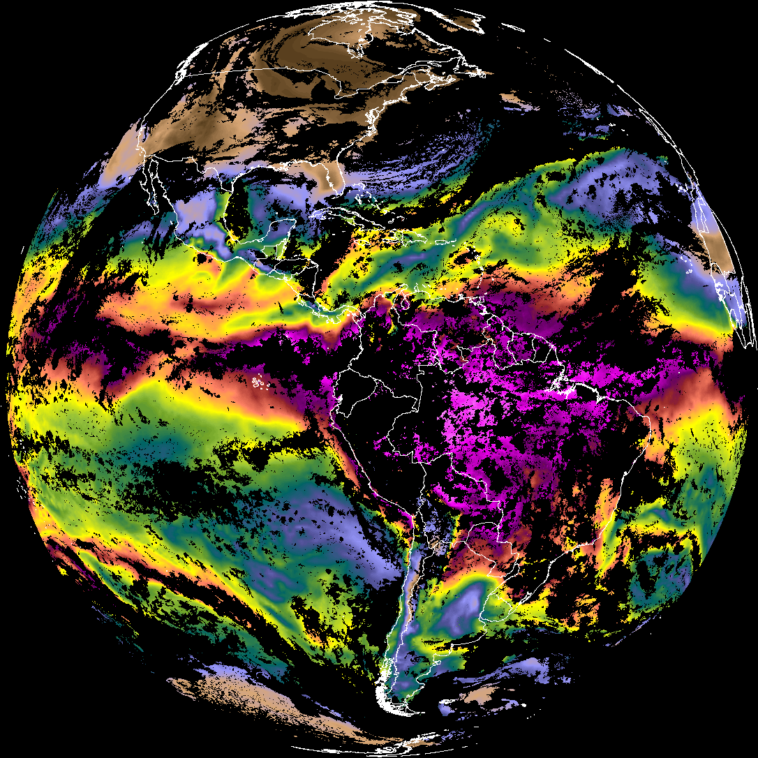
| abi_rgb_Derived_Stability_Indices_-_CAPE.png | 171704 | 2026-Jan-29 18:04 |
| abi_rgb_Derived_Stability_Indices_-_CAPE_map.png | 186238 | 2026-Jan-29 18:04 |
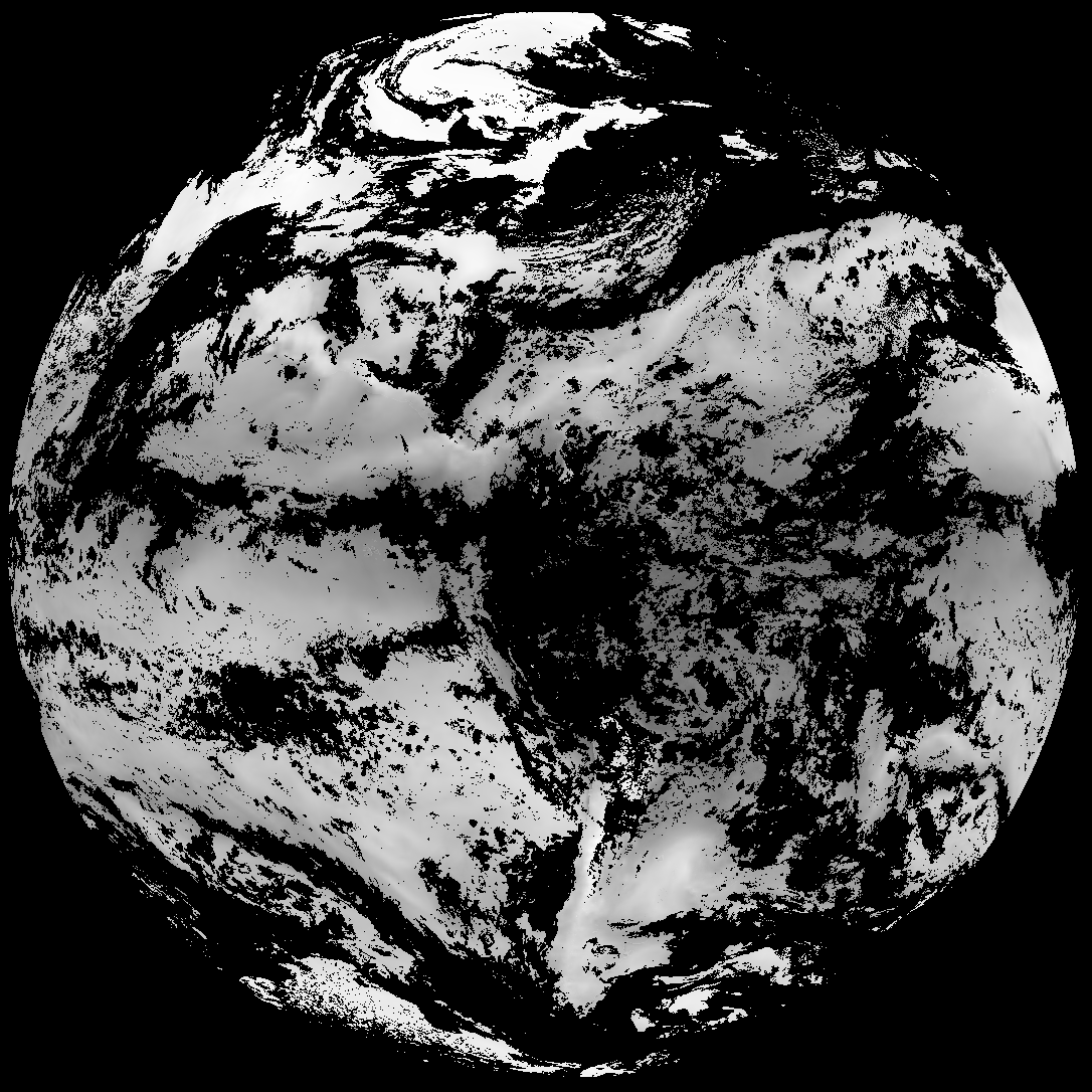
| G19_TPW_20260129T175021Z.png | 266515 | 2026-Jan-29 18:04 |
| abi_rgb_Total_Precipitable_Water.png | 345211 | 2026-Jan-29 18:04 |
| abi_rgb_Total_Precipitable_Water_map.png | 356100 | 2026-Jan-29 18:04 |
| abi_rgb_Rain_Rate_Per_Quarter_Hour.png | 400341 | 2026-Jan-29 18:03 |
| abi_rgb_Rain_Rate_Per_Quarter_Hour_map.png | 570588 | 2026-Jan-29 18:03 |
| G19_RRQPE_20260129T175021Z.png | 621614 | 2026-Jan-29 18:03 |
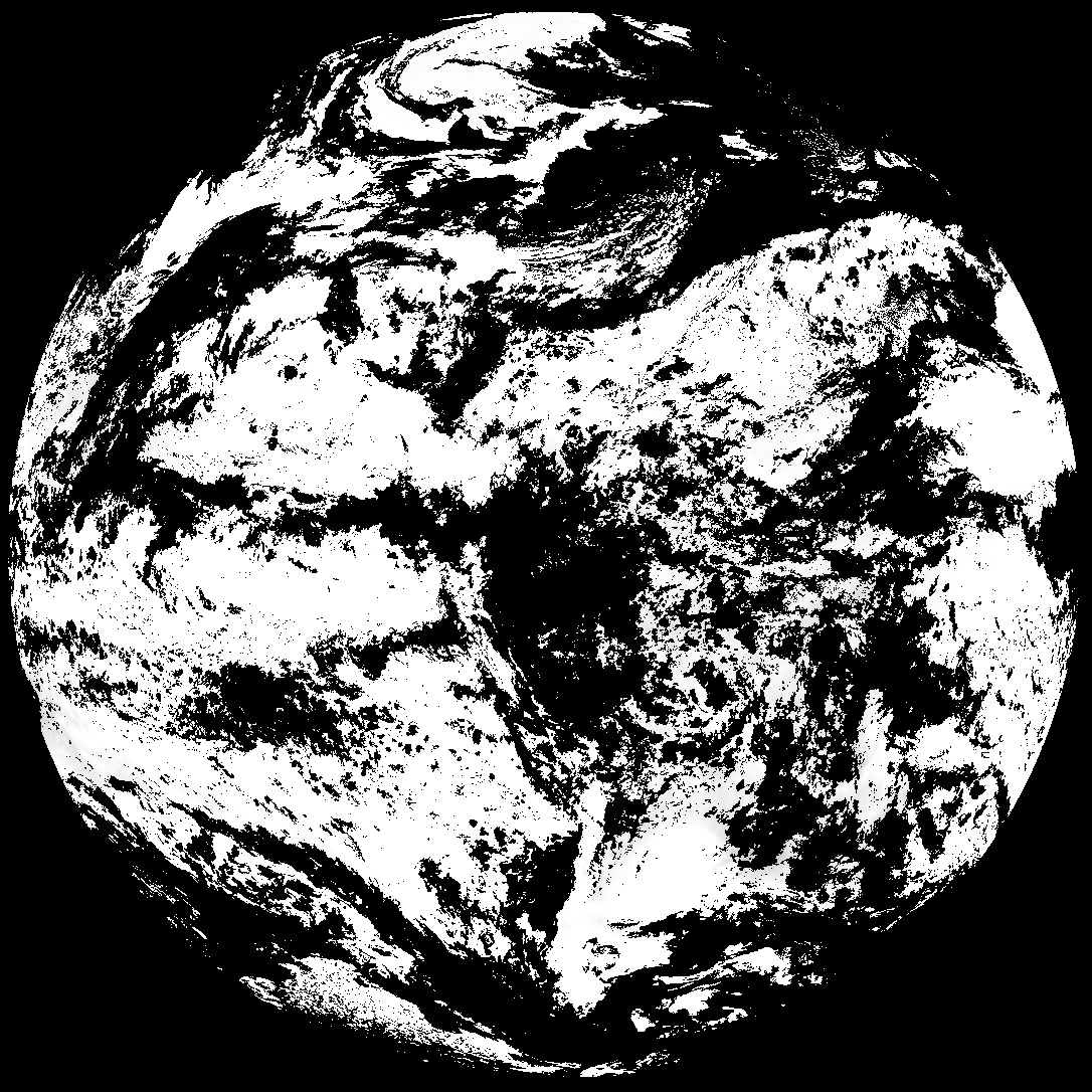
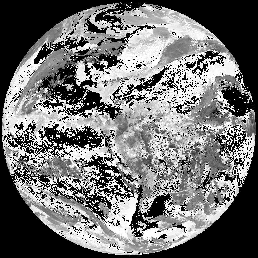
| G19_ACHA_20260129T175021Z.png | 635919 | 2026-Jan-29 18:04 |
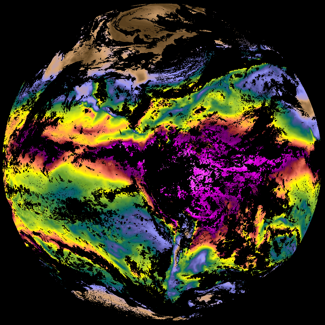
| abi_rgb_AWG_Cloud_Height_Algorithm_(ACHA).png | 903185 | 2026-Jan-29 18:04 |
| abi_rgb_AWG_Cloud_Height_Algorithm_(ACHA)_map.png | 905277 | 2026-Jan-29 18:04 |