This directory hosts downlinked GOES products captured via SatDump. Content is organized by product family so operators and visitors can locate the feeds they need quickly.
| File Name ↓ | File Size ↓ | Date ↓ |
|---|---|---|
| Parent directory/ | - | - |
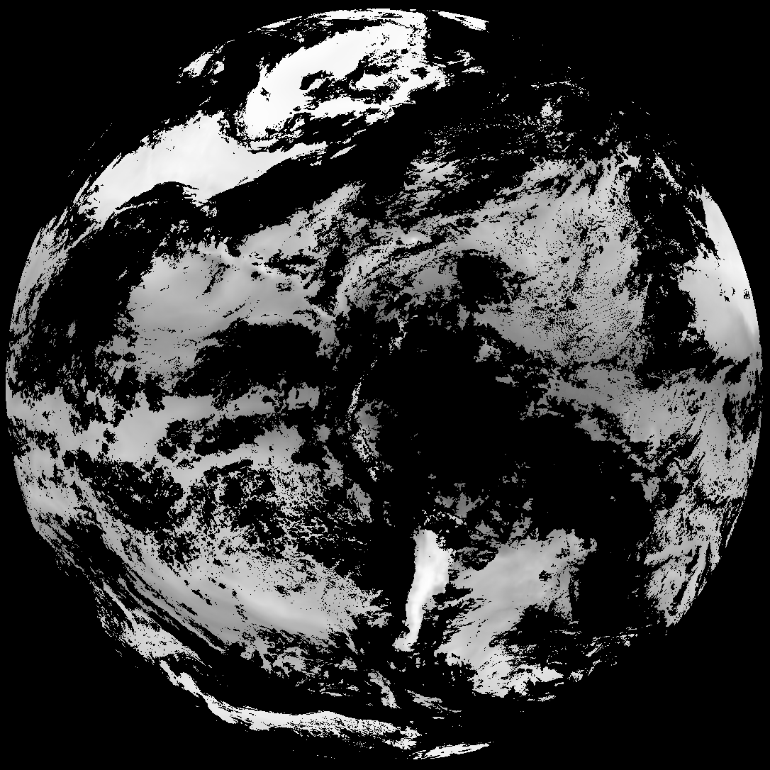
| G19_TPW_20260131T050021Z.png | 221879 | 2026-Jan-31 05:26 |
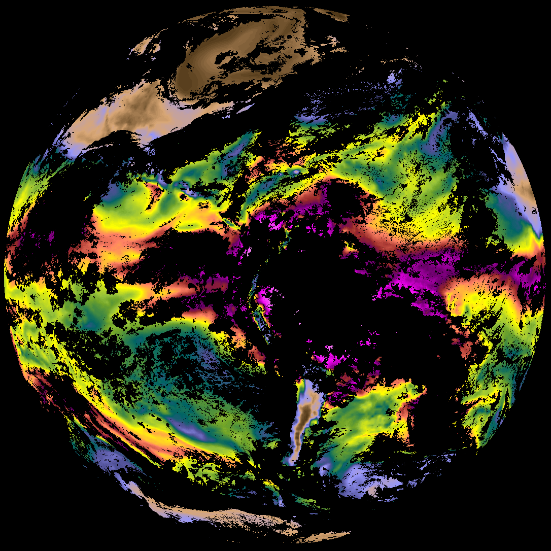
| abi_rgb_Total_Precipitable_Water.png | 291127 | 2026-Jan-31 05:27 |
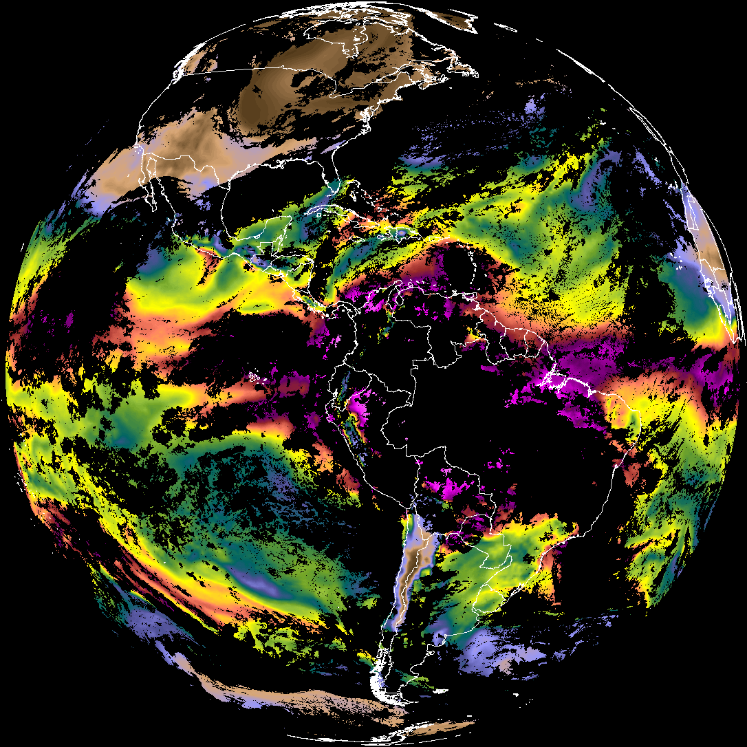
| abi_rgb_Total_Precipitable_Water_map.png | 304129 | 2026-Jan-31 05:27 |
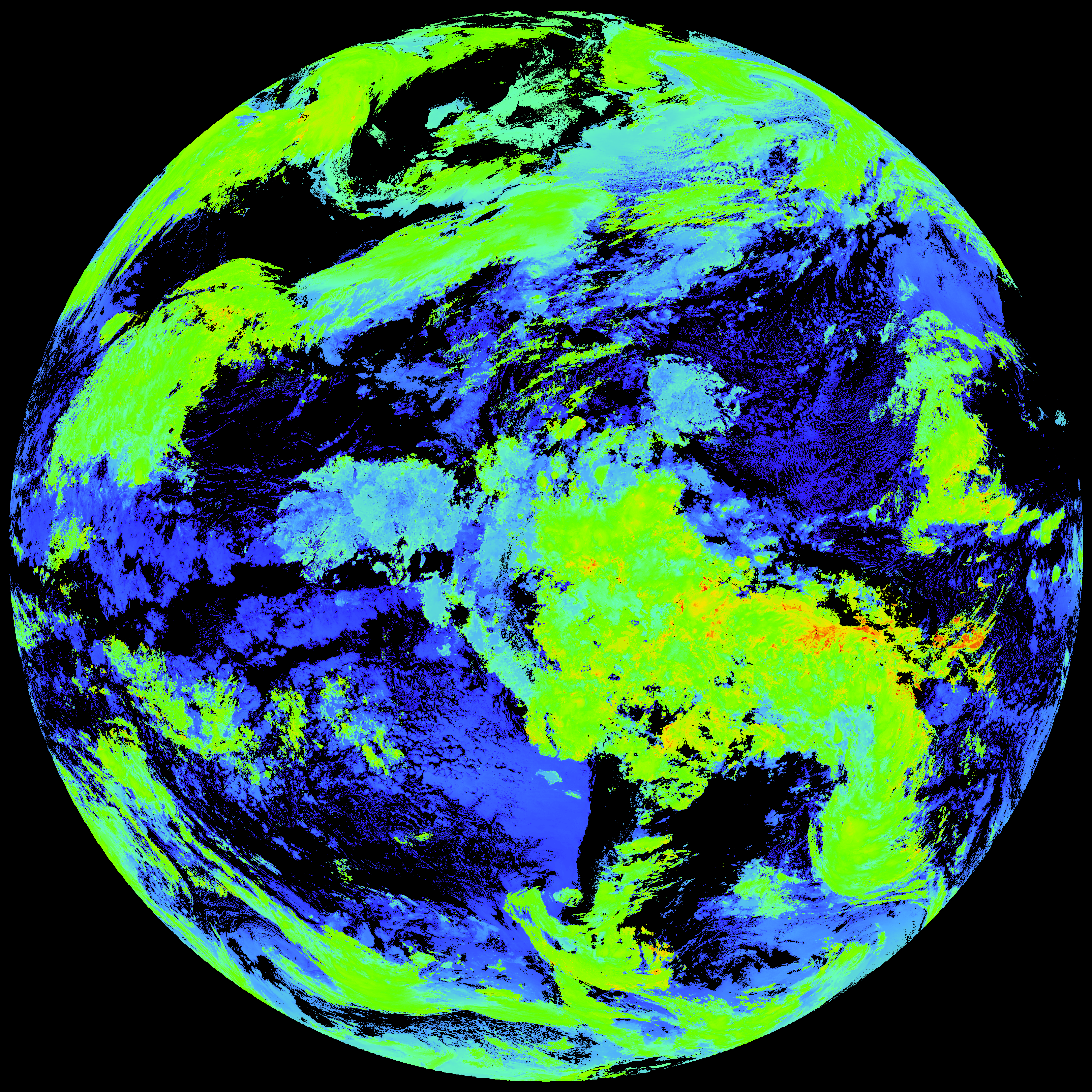
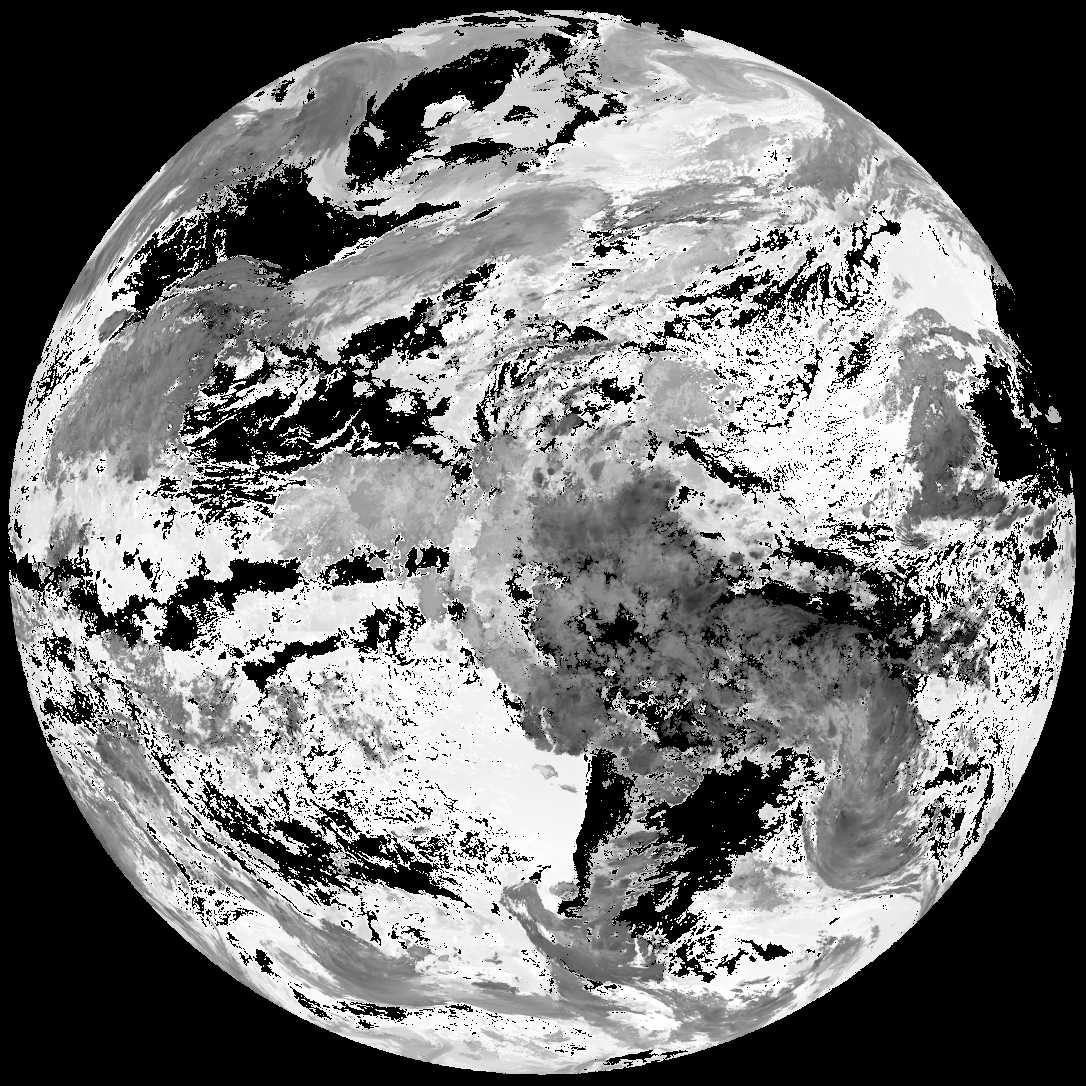
| G19_ACHT_20260131T050021Z.png | 12148356 | 2026-Jan-31 05:31 |
| abi_rgb_Cloud_top_Temperature_(ACHT).png | 16278137 | 2026-Jan-31 05:31 |
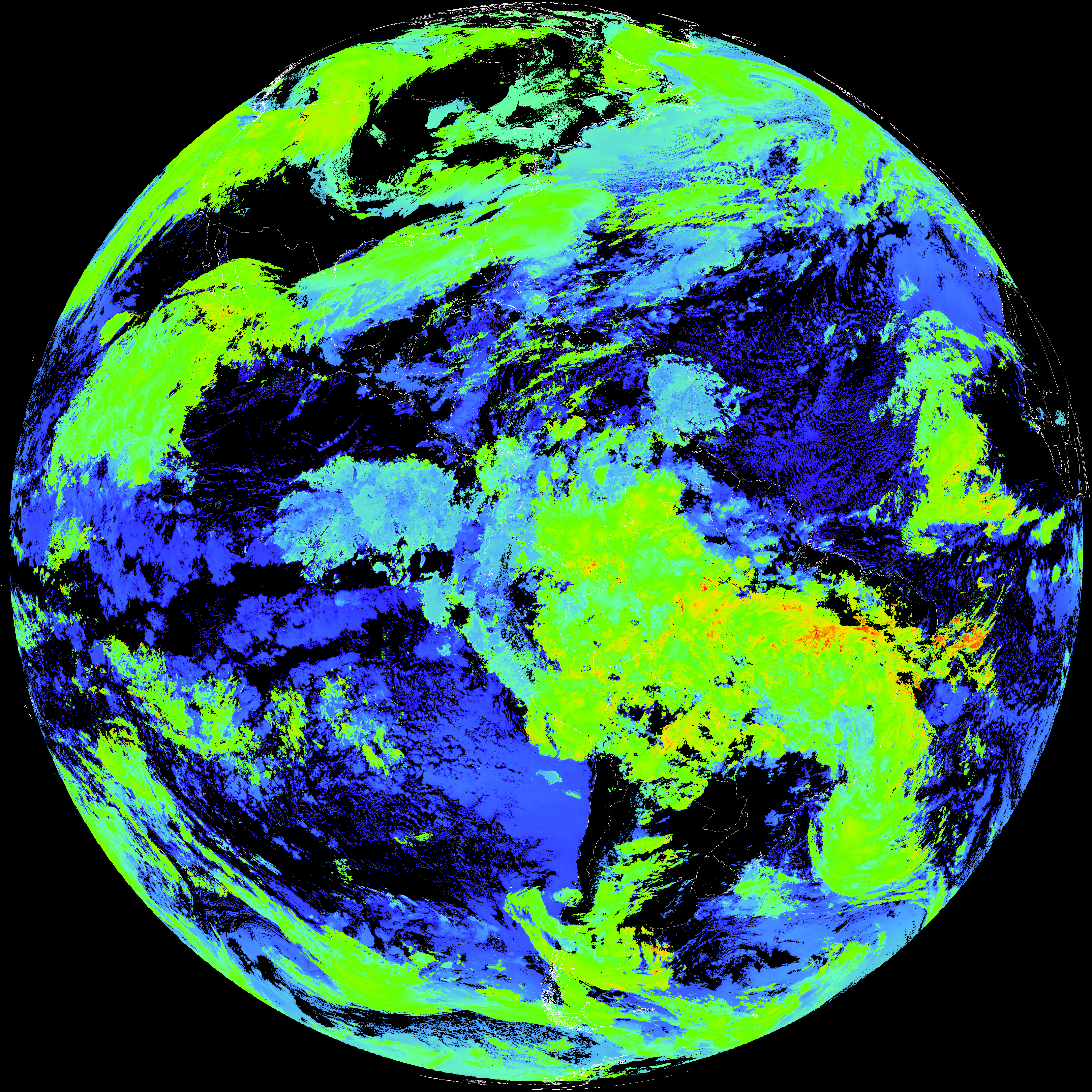
| abi_rgb_Cloud_top_Temperature_(ACHT)_map.png | 16359127 | 2026-Jan-31 05:31 |
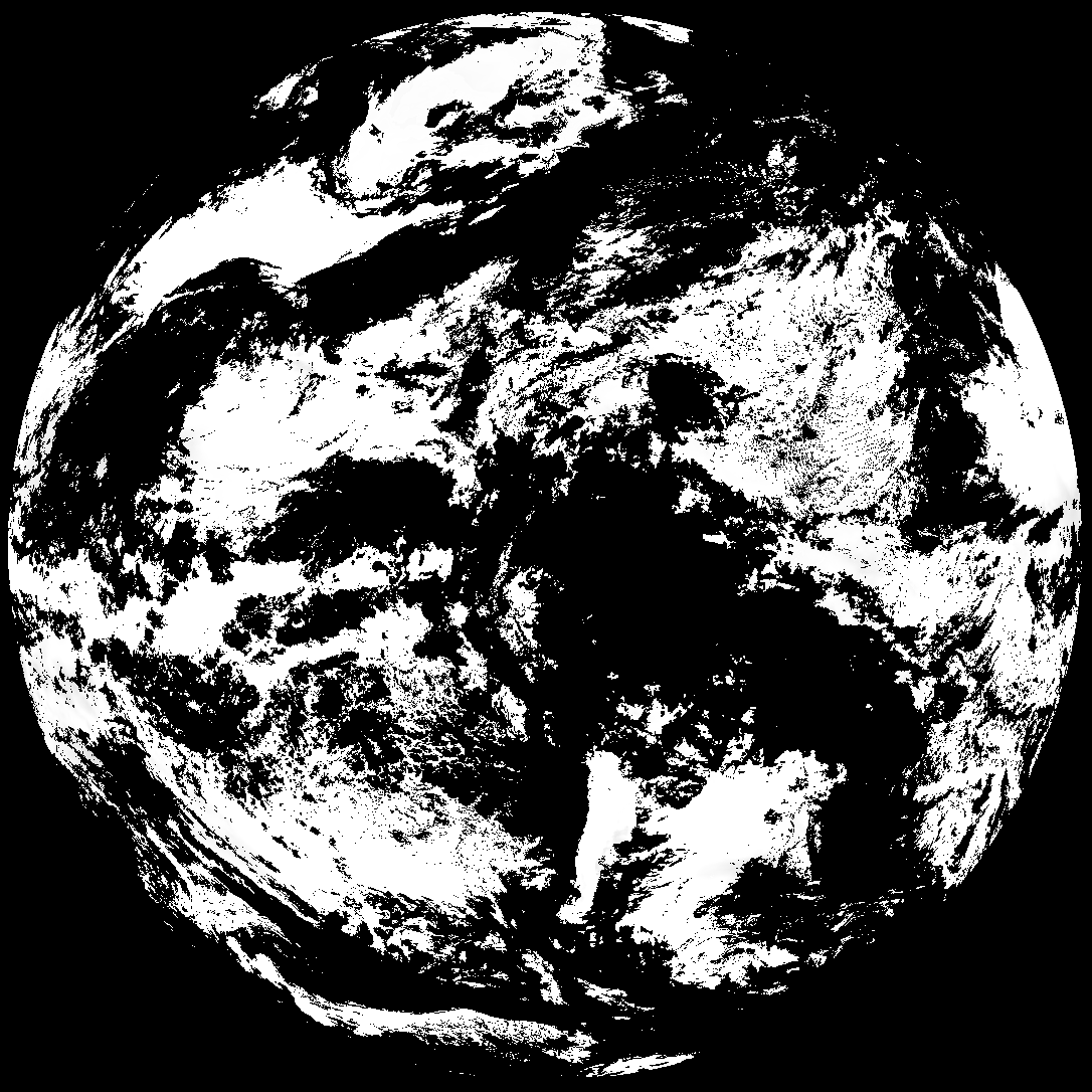
| G19_DSI_20260131T050021Z.png | 100273 | 2026-Jan-31 05:31 |
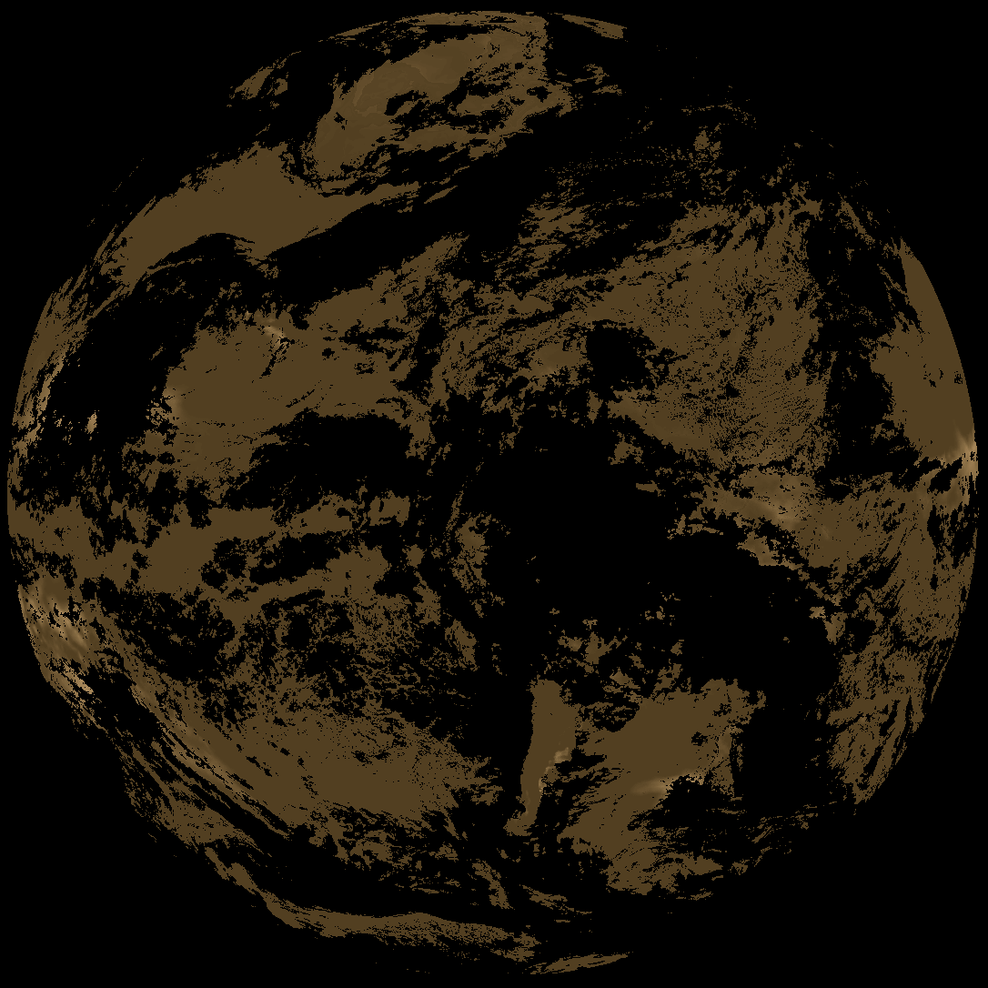
| abi_rgb_Derived_Stability_Indices_-_CAPE_map.png | 149902 | 2026-Jan-31 05:31 |
| abi_rgb_Derived_Stability_Indices_-_CAPE.png | 134739 | 2026-Jan-31 05:31 |
| G19_ACHA_20260131T050021Z.png | 657044 | 2026-Jan-31 05:32 |
| product.cbor | 623 | 2026-Jan-31 05:32 |
| abi_rgb_AWG_Cloud_Height_Algorithm_(ACHA).png | 919720 | 2026-Jan-31 05:32 |
| abi_rgb_AWG_Cloud_Height_Algorithm_(ACHA)_map.png | 922537 | 2026-Jan-31 05:32 |