This directory hosts downlinked GOES products captured via SatDump. Content is organized by product family so operators and visitors can locate the feeds they need quickly.
| File Name ↓ | File Size ↓ | Date ↓ |
|---|---|---|
| Parent directory/ | - | - |
| G19_RRQPE_20260203T165020Z.png | 519382 | 2026-Feb-03 17:03 |
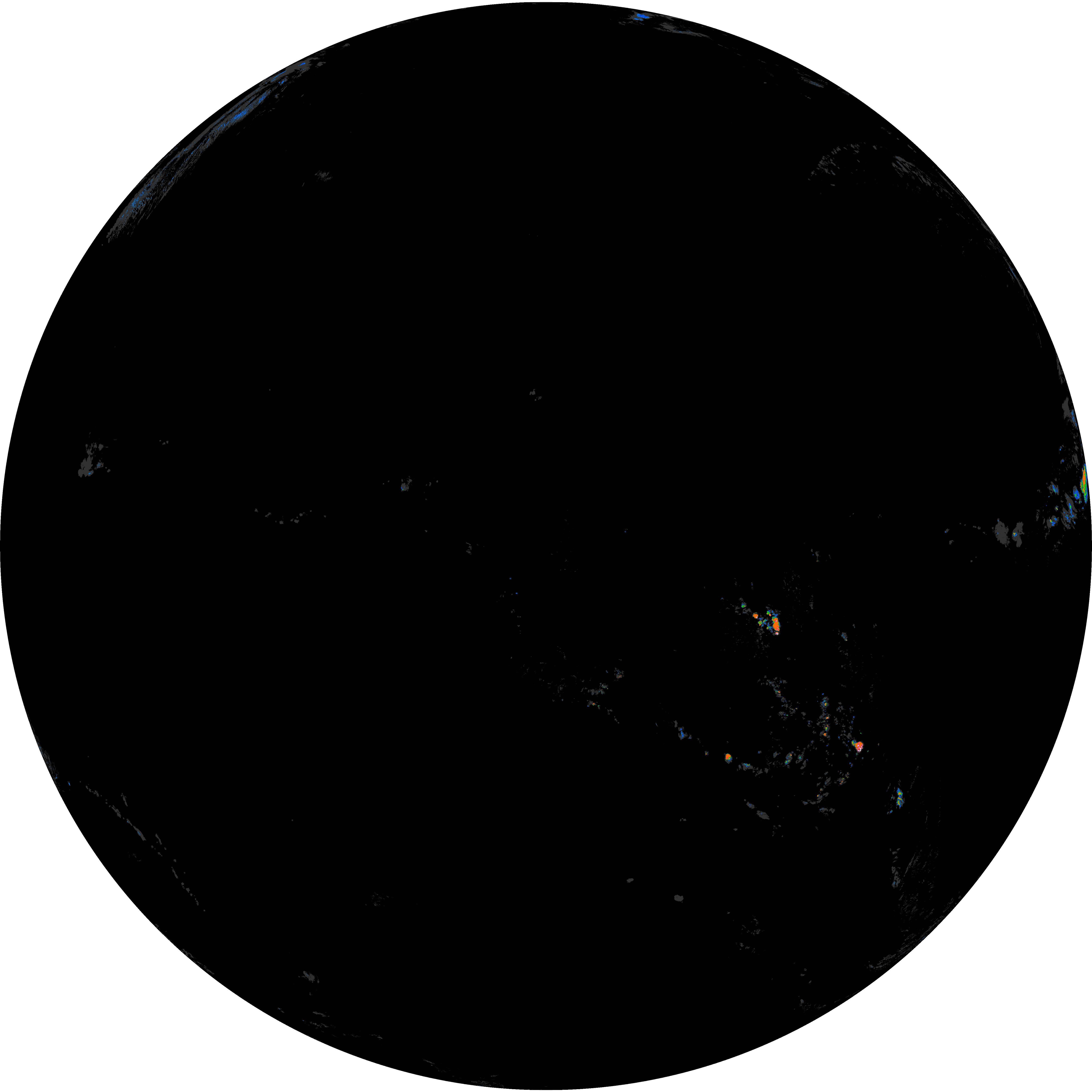
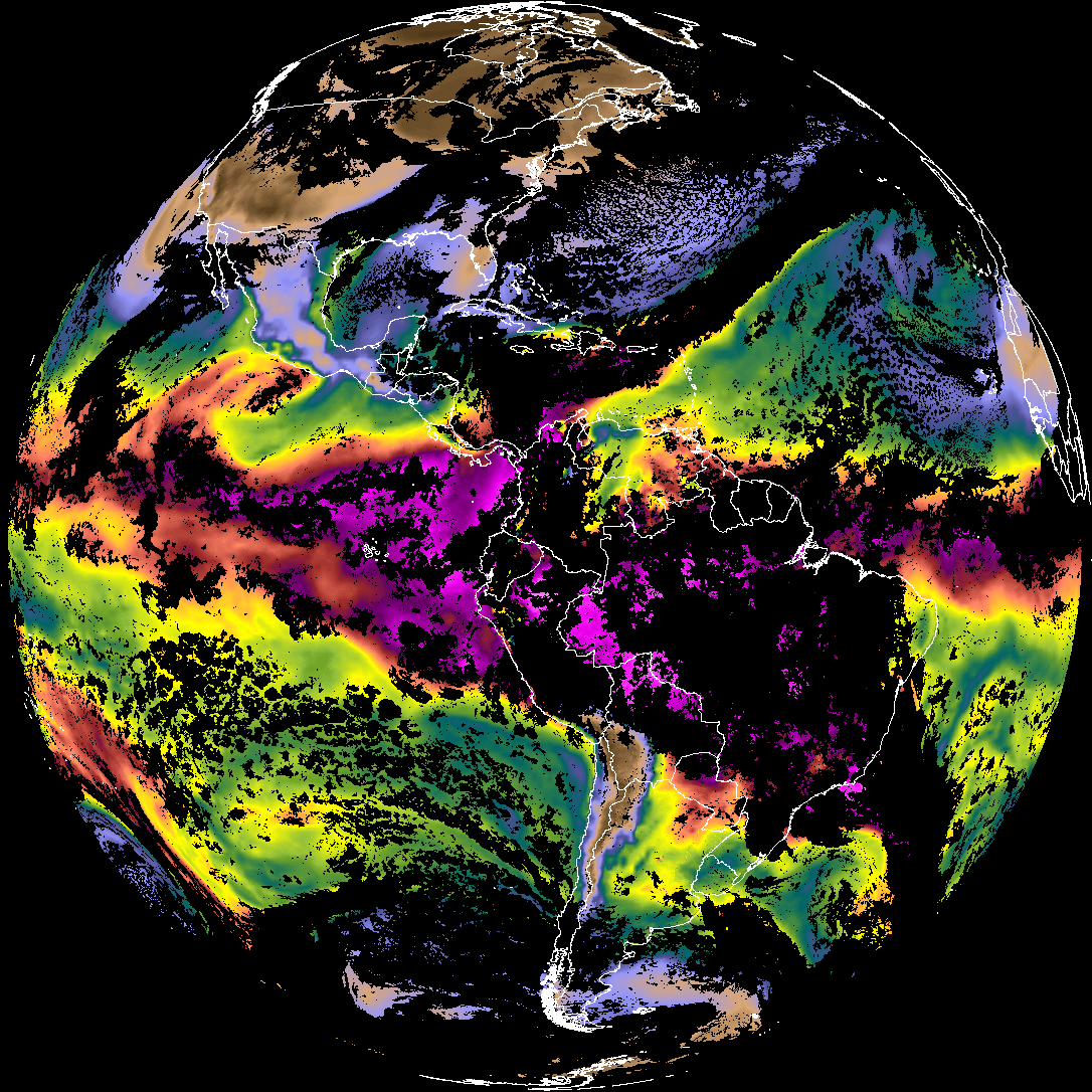
| abi_rgb_Rain_Rate_Per_Quarter_Hour.png | 354226 | 2026-Feb-03 17:03 |
| abi_rgb_Rain_Rate_Per_Quarter_Hour_map.png | 521631 | 2026-Feb-03 17:03 |
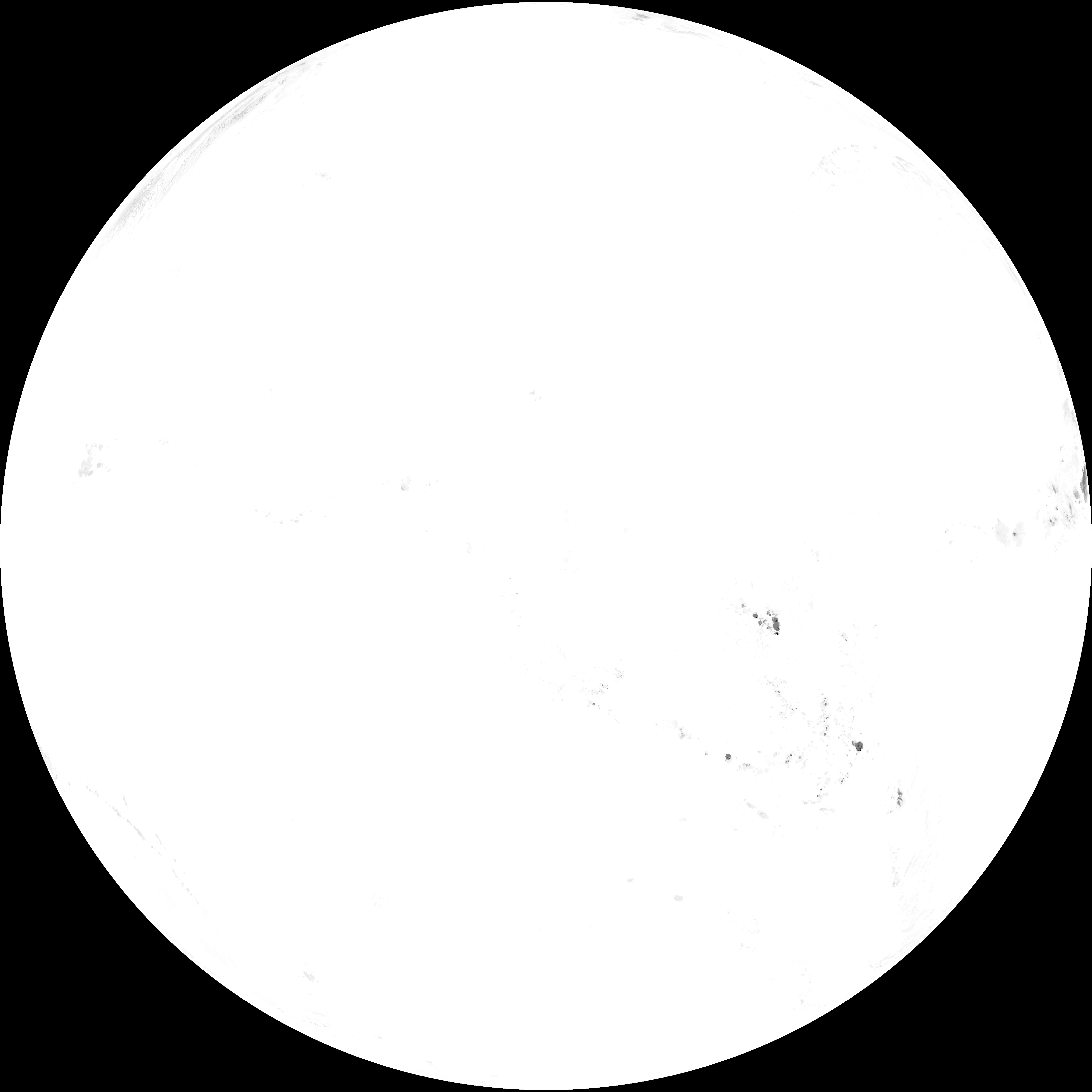
| abi_rgb_Total_Precipitable_Water.png | 321625 | 2026-Feb-03 17:03 |
| G19_TPW_20260203T165020Z.png | 247264 | 2026-Feb-03 17:03 |
| abi_rgb_Total_Precipitable_Water_map.png | 332687 | 2026-Feb-03 17:03 |
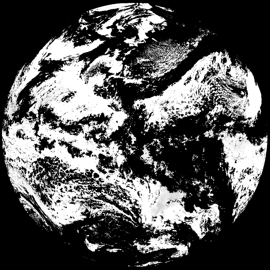
| G19_DSI_20260203T165020Z.png | 122164 | 2026-Feb-03 17:04 |
| abi_rgb_Derived_Stability_Indices_-_CAPE_map.png | 176876 | 2026-Feb-03 17:04 |
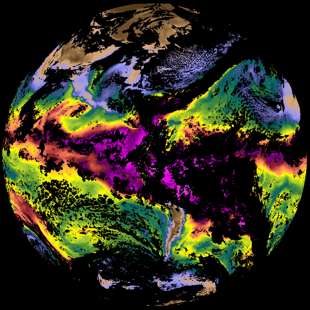
| abi_rgb_Derived_Stability_Indices_-_CAPE.png | 161399 | 2026-Feb-03 17:04 |
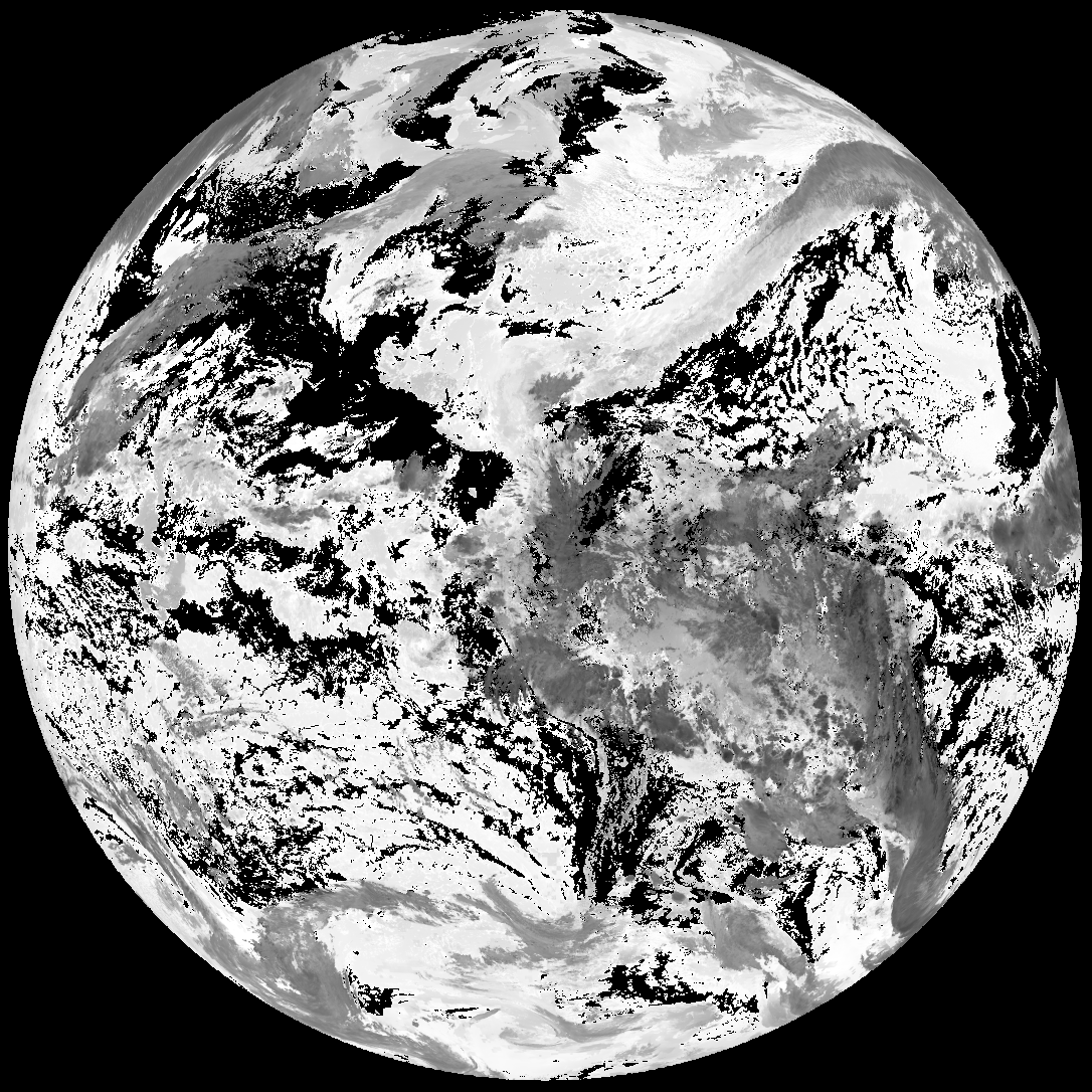
| G19_ACHA_20260203T165020Z.png | 642917 | 2026-Feb-03 17:04 |
| product.cbor | 625 | 2026-Feb-03 17:04 |
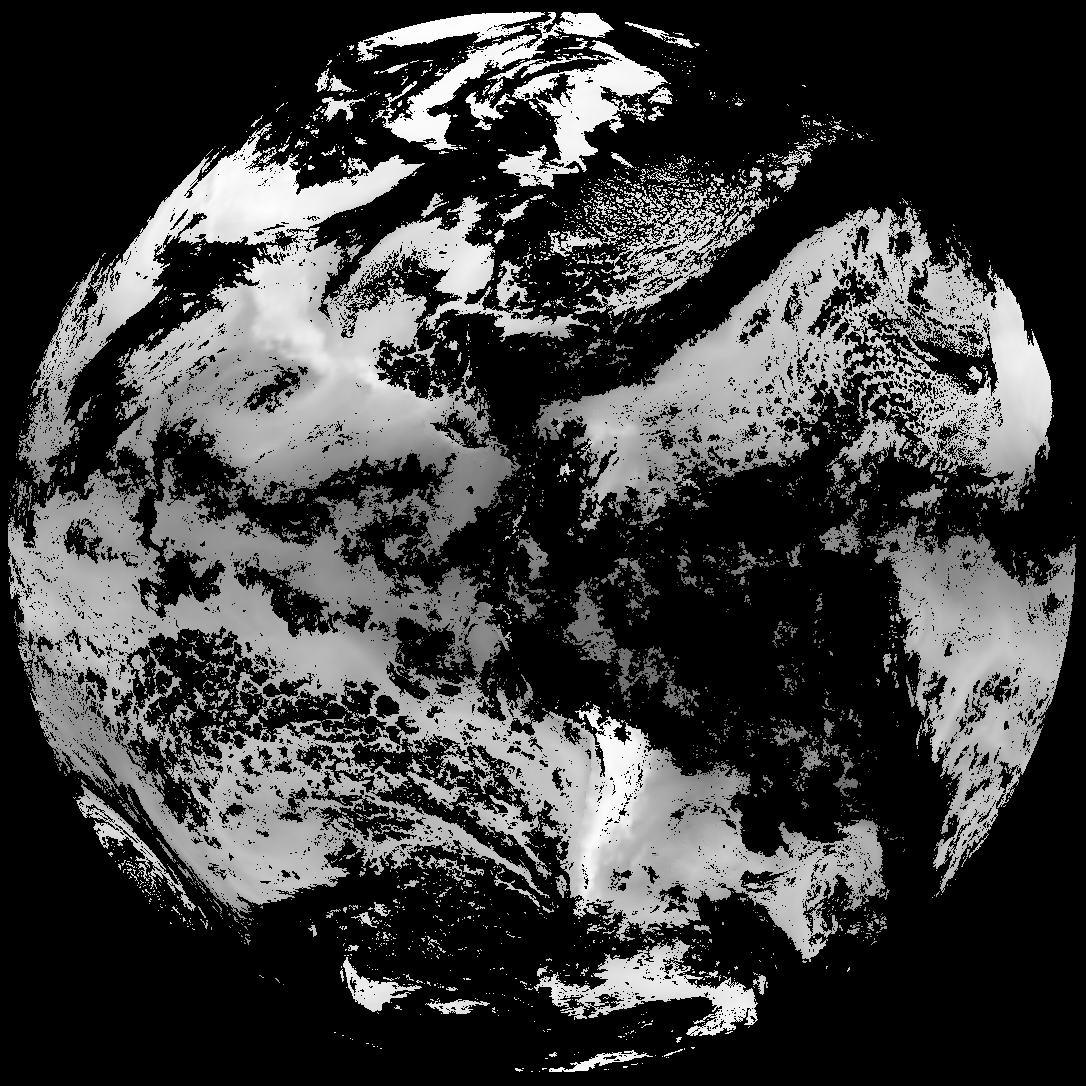
| abi_rgb_AWG_Cloud_Height_Algorithm_(ACHA).png | 898140 | 2026-Feb-03 17:04 |
| abi_rgb_AWG_Cloud_Height_Algorithm_(ACHA)_map.png | 900192 | 2026-Feb-03 17:04 |