This directory hosts downlinked GOES products captured via SatDump. Content is organized by product family so operators and visitors can locate the feeds they need quickly.
| File Name ↓ | File Size ↓ | Date ↓ |
|---|---|---|
| Parent directory/ | - | - |
| product.cbor | 625 | 2026-Feb-04 16:04 |
| G19_DSI_20260204T155020Z.png | 129817 | 2026-Feb-04 16:03 |
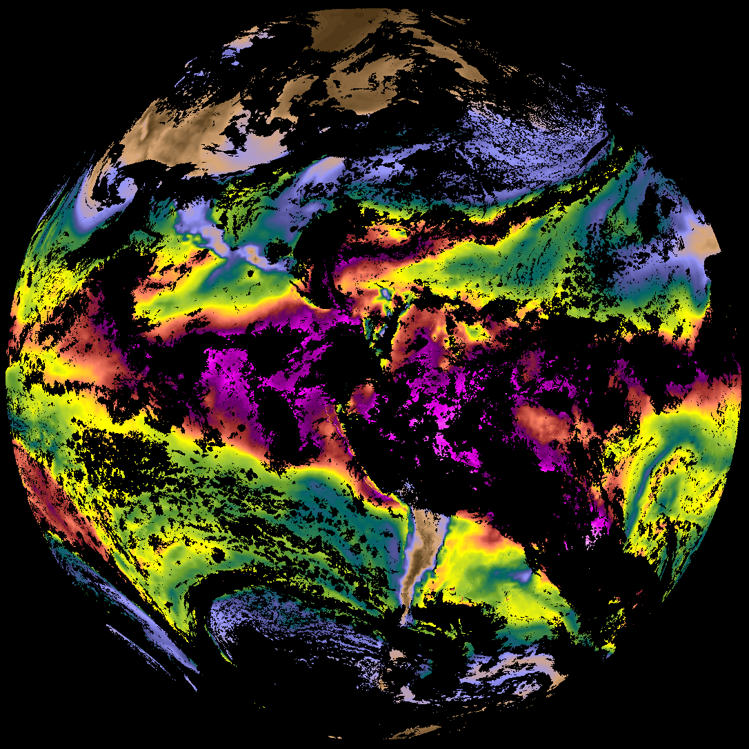
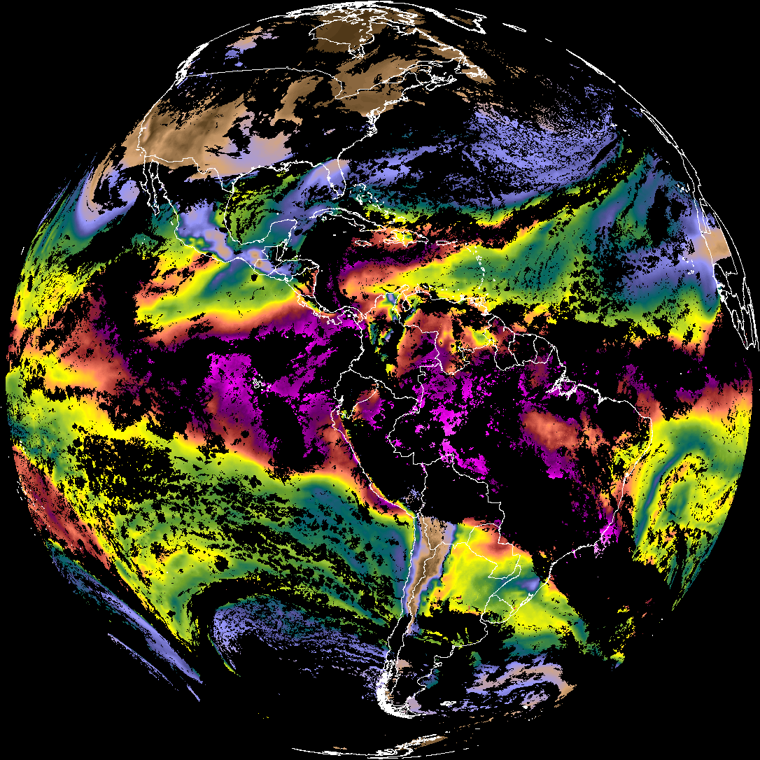
| abi_rgb_Derived_Stability_Indices_-_CAPE.png | 171852 | 2026-Feb-04 16:03 |
| abi_rgb_Derived_Stability_Indices_-_CAPE_map.png | 186768 | 2026-Feb-04 16:03 |
| G19_TPW_20260204T155020Z.png | 254485 | 2026-Feb-04 16:03 |
| abi_rgb_Rain_Rate_Per_Quarter_Hour.png | 311415 | 2026-Feb-04 16:03 |
| abi_rgb_Total_Precipitable_Water.png | 331161 | 2026-Feb-04 16:03 |
| abi_rgb_Total_Precipitable_Water_map.png | 343138 | 2026-Feb-04 16:03 |
| G19_RRQPE_20260204T155020Z.png | 461060 | 2026-Feb-04 16:03 |
| abi_rgb_Rain_Rate_Per_Quarter_Hour_map.png | 479165 | 2026-Feb-04 16:03 |
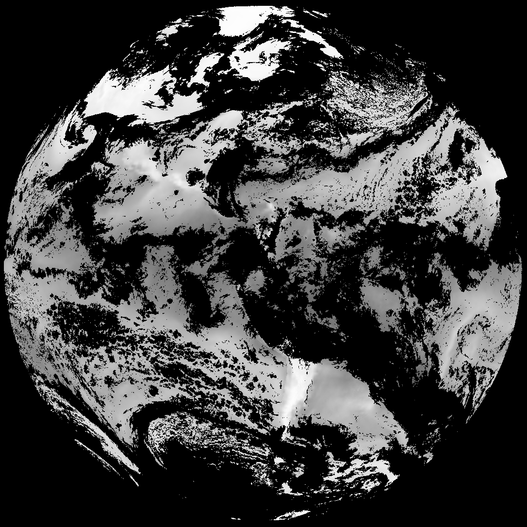
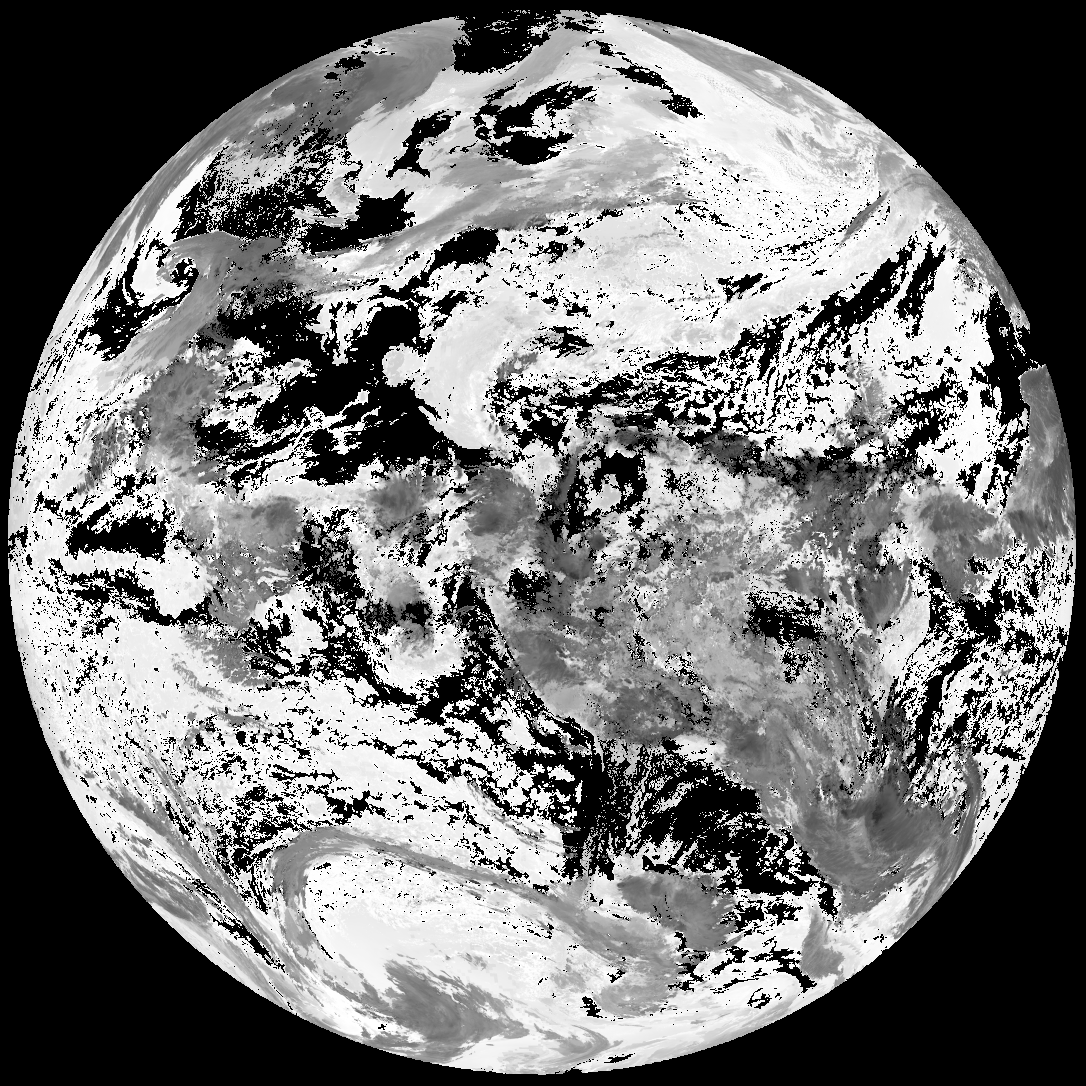
| G19_ACHA_20260204T155020Z.png | 650851 | 2026-Feb-04 16:04 |
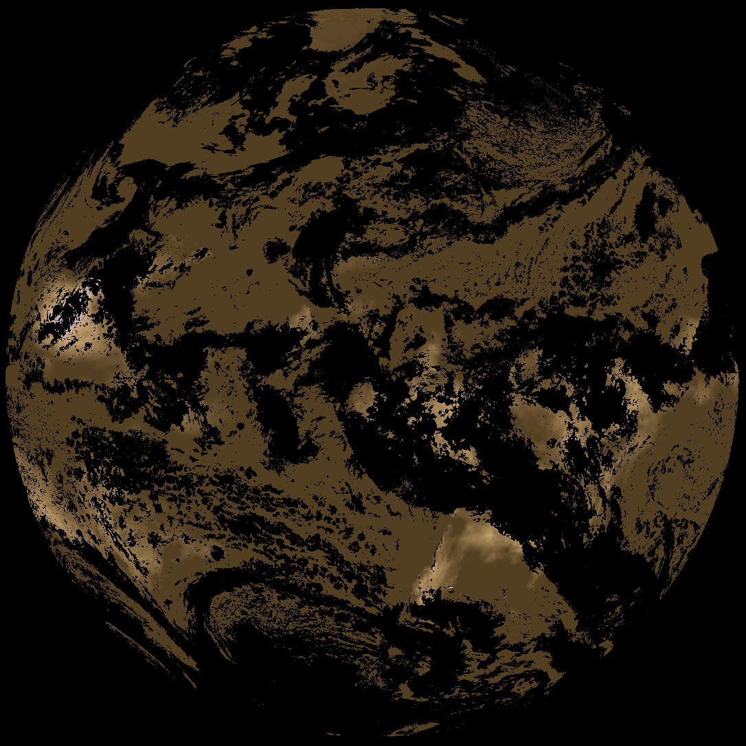
| abi_rgb_AWG_Cloud_Height_Algorithm_(ACHA).png | 908931 | 2026-Feb-04 16:04 |
| abi_rgb_AWG_Cloud_Height_Algorithm_(ACHA)_map.png | 910981 | 2026-Feb-04 16:04 |