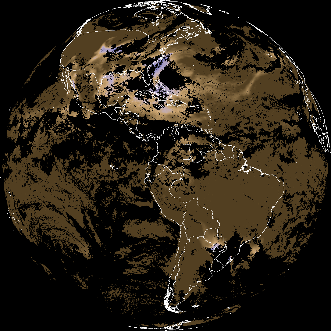
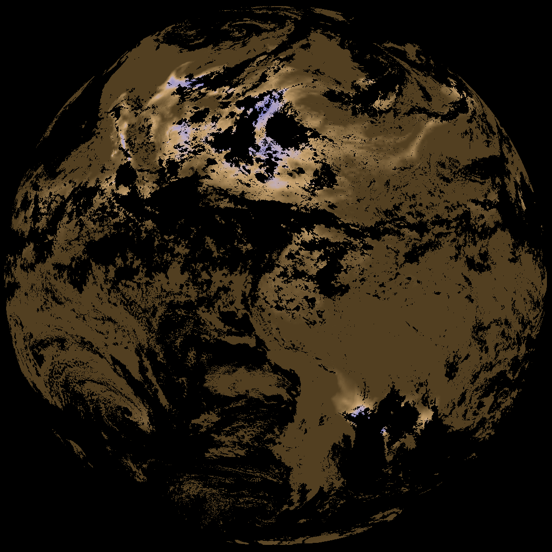
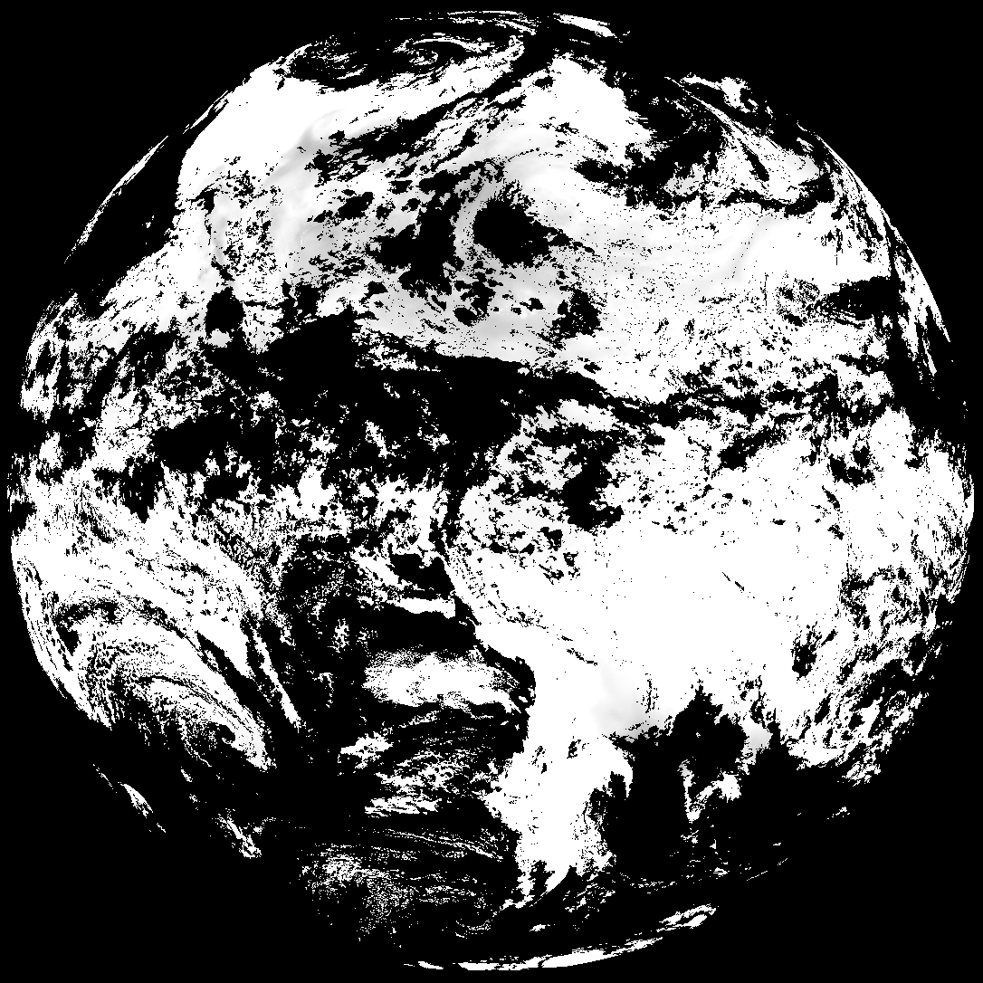
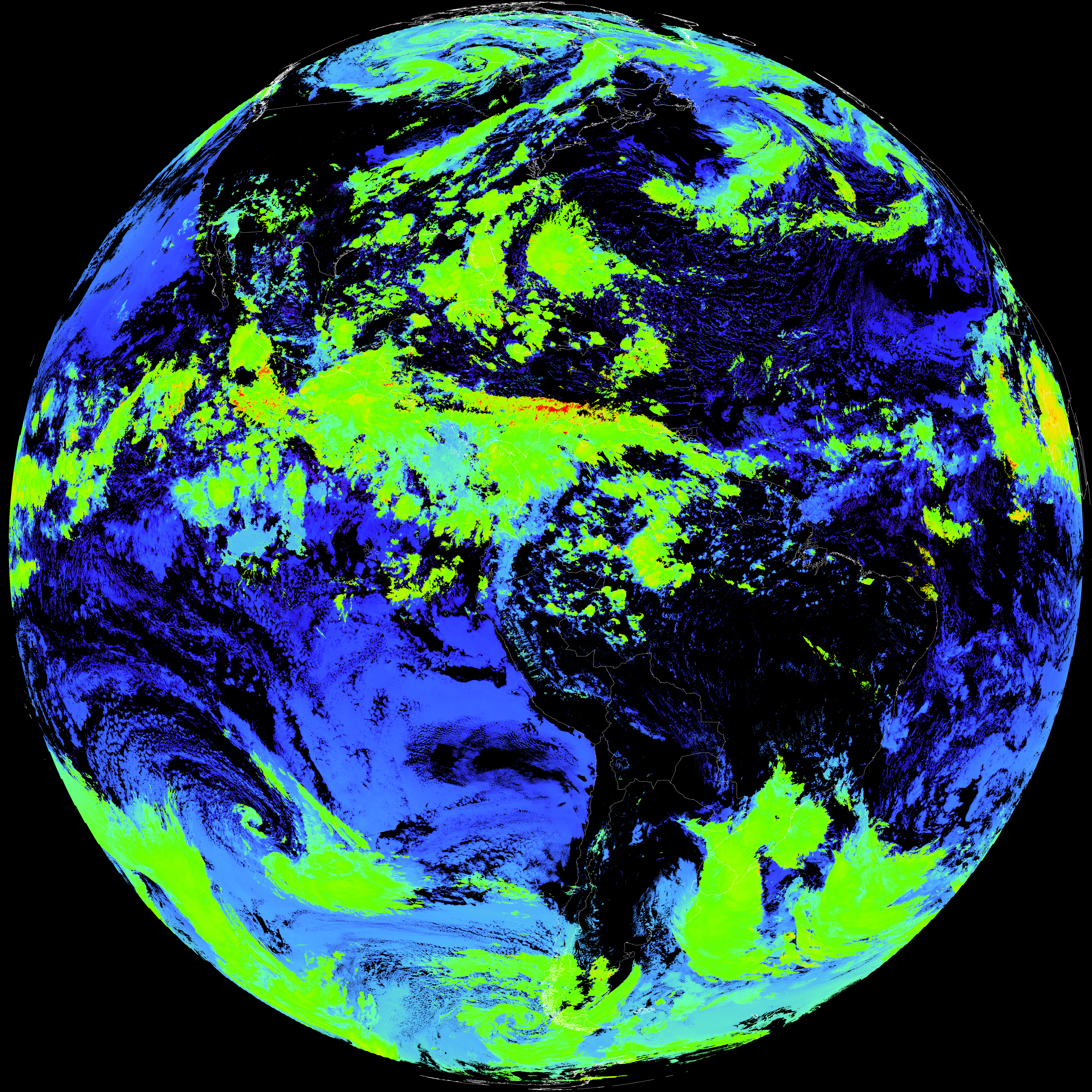
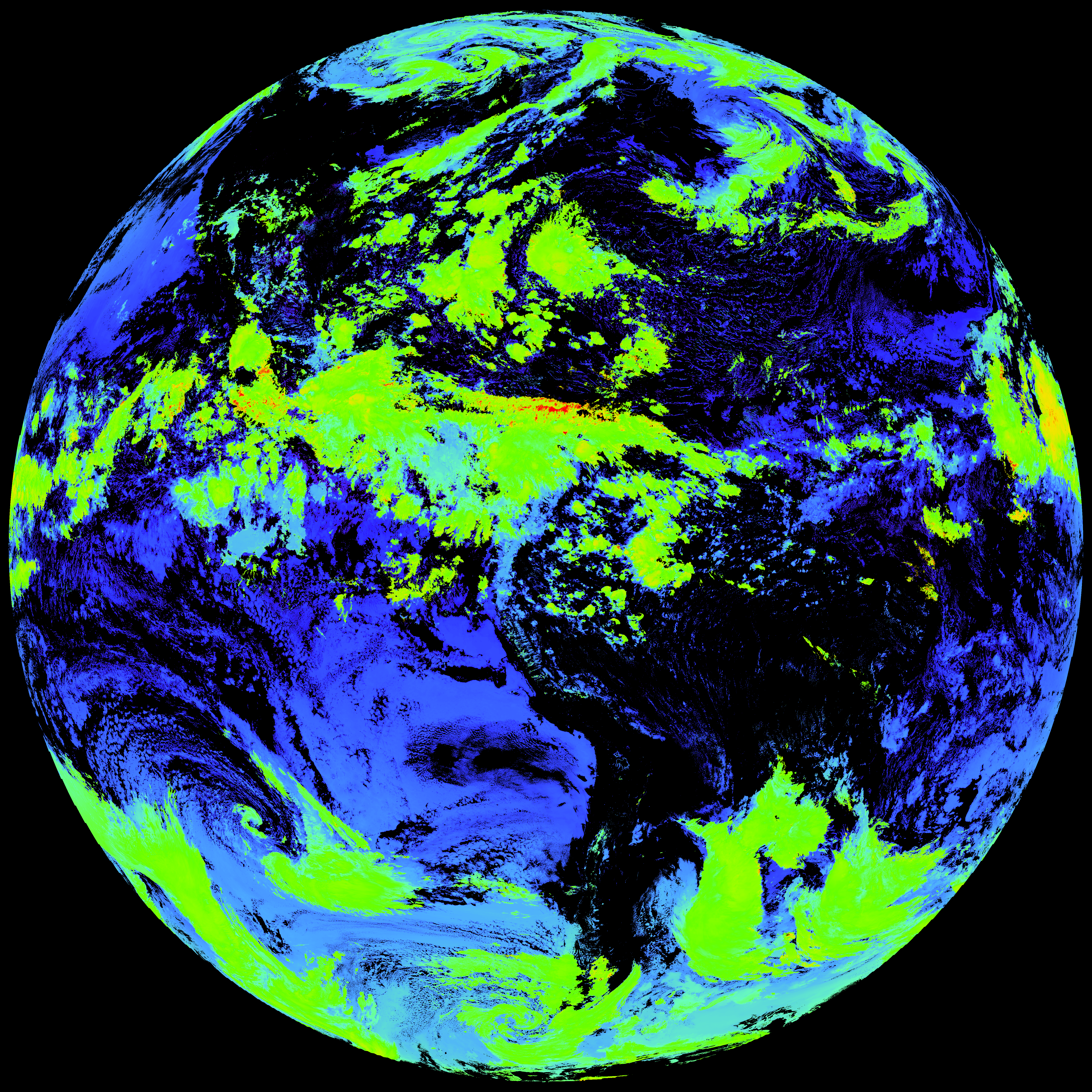
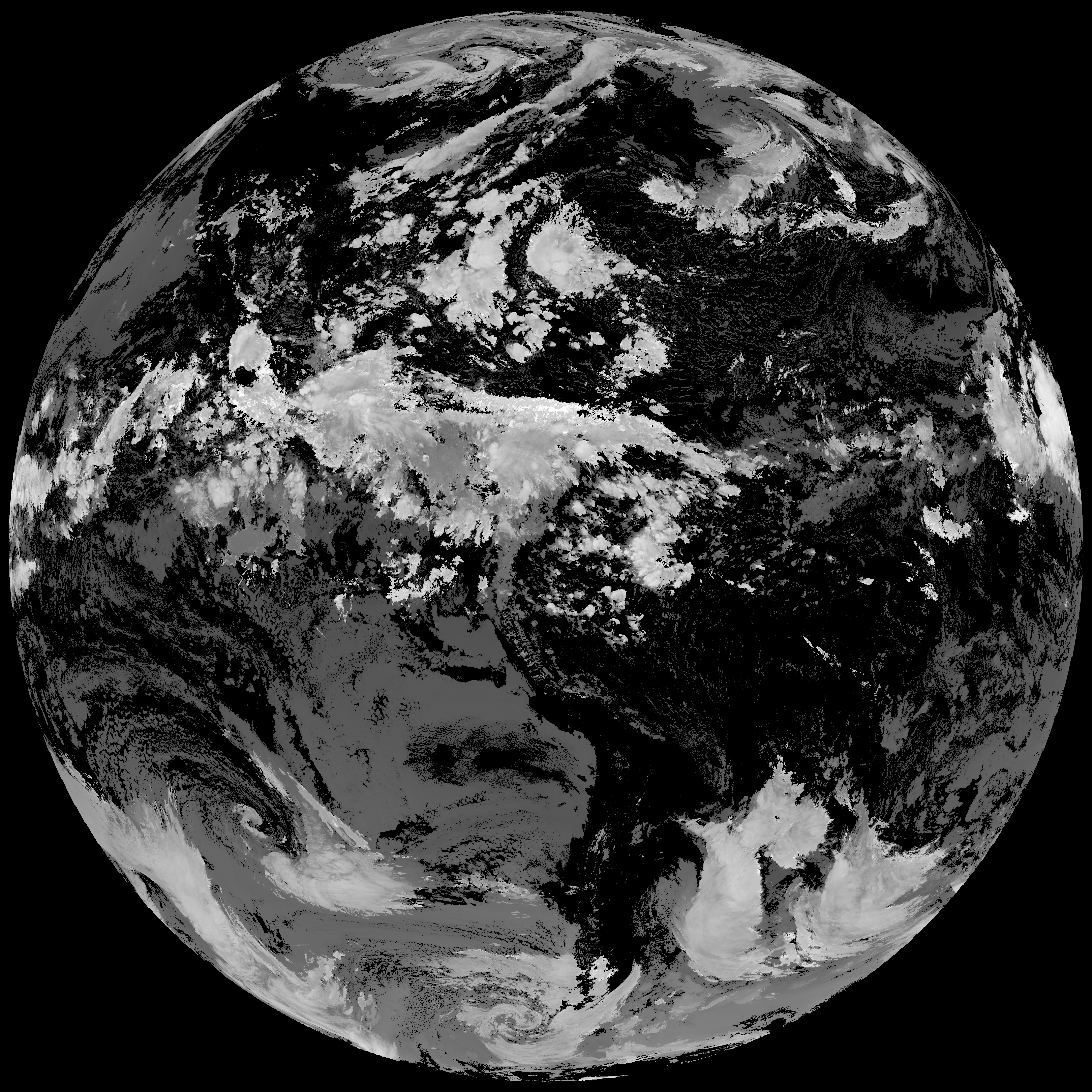
Quicklook renderings of ABI Level-2 geophysical fields. Each timestamp mirrors an imagery folder and includes a product.cbor metadata file.
ACHT/ACHA), Derived Stability Indices (DSI), Total Precipitable Water (TPW), Rain Rate/QPE (RRQPE).SST/LST).G19_TPW_YYYYMMDDThhmmssZ.png with matching abi_rgb_* composites.The accompanying product.cbor files contain projection details that map pixels to Earth coordinates and physical units.
| File Name ↓ | File Size ↓ | Date ↓ |
|---|---|---|
| Parent directory/ | - | - |
| abi_rgb_Derived_Stability_Indices_-_CAPE_map.png | 212016 | 2026-Aug-06 20:37 |
| abi_rgb_Derived_Stability_Indices_-_CAPE.png | 199006 | 2026-Aug-06 20:37 |
| product.cbor | 487 | 2026-Aug-06 20:37 |
| G19_DSI_20260806T200020Z.png | 150258 | 2026-Aug-06 20:37 |
| abi_rgb_Cloud_top_Temperature_(ACHT)_map.png | 14220045 | 2026-Aug-06 20:37 |
| abi_rgb_Cloud_top_Temperature_(ACHT).png | 14140010 | 2026-Aug-06 20:37 |
| G19_ACHT_20260806T200020Z.png | 10334193 | 2026-Aug-06 20:37 |